A fresh burst of Arctic air is on the move, and it is bringing more snow to the Northeast and Great Lakes. If you have weekend plans, you will want to watch the forecast closely as fast moving systems slide through.
This setup favors quick hitting accumulations, slippery roads, and a sharper chill following the flakes. Stay tuned, because behind the first wave, an even colder punch is set to arrive.
Winter Isnt Done: More Snow Ahead for the Northeast and Great Lakes
Another clipper is set to streak southeast from Canada, spreading a swath of snow across the Great Lakes and into the Northeast this weekend. Expect bursts that come on quickly, coat roads, and then move along, leaving a stingy chill behind.
You could wake to a fresh glaze in the morning and watch flakes pulse again by afternoon in favored corridors. Forecast guidance points to modest totals for many, but impacts will hinge on timing.
New York City could see 1 to 3 inches on colder surfaces, while Philadelphia and Albany may end closer to an inch. Higher terrain, including parts of West Virginia, could stack up 5 to 8 inches where upslope and banding enhance snowfall rates.
The driver is reinforcing Arctic air colliding with available moisture, sharpening narrow snow bands that pivot through. Roads may turn slick in minutes, especially on untreated stretches and bridges.
Keep travel flexible, watch advisories, and plan for reduced visibility when snow and wind arrive together.
Arctic Air Amplifies Snow Potential and Chill
The snow this week ties into a bigger story: a deeper shot of Arctic air driving south after the clipper exits. As pressure rises over the Plains and a trough digs into the Northeast, temperatures tumble well below average.
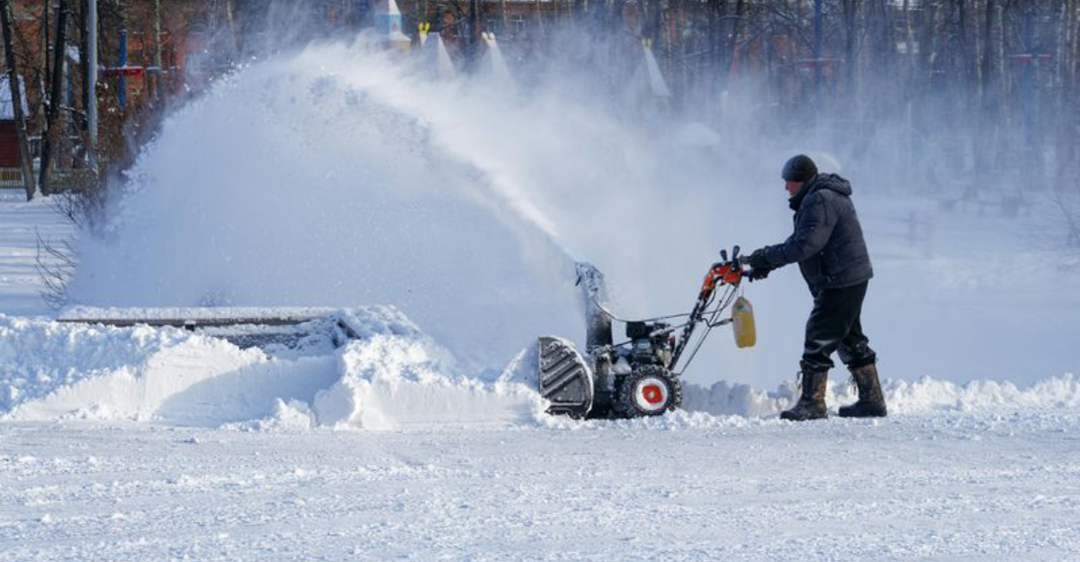
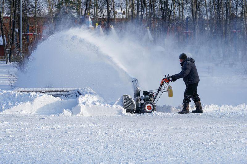
The cold primes the pump for additional bursts of snow and keeps what falls from melting quickly. Behind the system, lake-effect snow may rev up downwind of Lake Erie and Lake Ontario.
When bitter air crosses comparatively warmer water, cloud streets form and bands lock onto wind direction. These bands can deliver whiteouts to narrow zones, while nearby towns see flurries and brighter breaks.
The harsh air mass also boosts wind chills and prolongs icy conditions on secondary roads and sidewalks. Expect crunchy snowpack, stubborn refreeze, and frostbite risk during longer exposures.
Keep layers handy, fuel the car, and watch for rapidly shifting bands that can turn clear commutes into sudden bursts of blowing snow.
What Residents Can Expect This Weekend
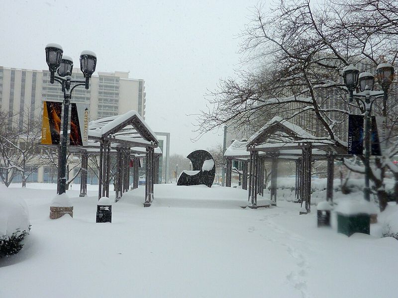
This weekend is unlikely to be a blockbuster, but it will be disruptive at times. Light to moderate snow will arrive in waves, with the most impactful windows tied to commute periods and overnight cooling.
Even a quick inch can glaze ramps, bridges, and neighborhood hills, especially where pavement temperatures lag. Wind gusts will accompany the departing low, tightening the gradient as it reaches the coast.
That means areas of blowing and drifting, notably across open fields and higher terrain. Visibility can drop fast in bursts, and passing squalls may briefly lower conditions to near whiteout.
Plan extra travel time, keep a small winter kit in the car, and monitor local advisories. If you are flying, check for deicing delays and downstream ripple effects.
Short lived, high impact snow bands often surprise, so treat modest totals with respect and assume slick spots will develop without much warning.
Snow in Context: Above Average Classics and Lake Effect
This season has already delivered frequent snow to the Great Lakes and Northeast, stacking totals above average in many communities. Repeated clippers and coastal jogs have teamed up with lake-effect bursts to keep shovels busy.
For some towns, the pattern has produced classic wintry stretches with few long thaws. Lake-effect works like a regional snow machine when Arctic air crosses still-relatively warm lakes.
Bands focus along wind-aligned corridors, dropping heavy totals over narrow footprints while areas a few miles away see far less. These signature events build seasonal numbers fast and can overwhelm plows during peak bursts.
The weekend snowfall fits squarely into that narrative. Active lows deliver broad light accumulations, and the follow-on Arctic push lights up the lakes.
Together, they sustain a cycle that refreshes snowpack, adds glare ice, and keeps winter hazards present even when daily totals look modest.
Looking Beyond the Weekend
After the weekend wave clears, the broader pattern supports renewed chances for snow as deep Arctic air lingers. Not every system will be headline-worthy, but the cadence suggests periodic coatings and locally heavier bands.
The cold also limits melting, so small accumulations can layer into persistent slick spots. Watch for additional clippers racing along the boundary and renewed lake-effect when wind trajectories align.
Ensemble guidance favors below-average temperatures across the Great Lakes and Northeast into next week. That keeps the door open for quick hitters and a few stronger impulses when moisture lines up.
Keep checking updated forecasts, especially if you live downwind of the lakes or plan higher-elevation travel. Refresh your supplies, test your car battery, and budget extra time for commutes.
Winter is not loosening its grip yet, and the pattern argues for more opportunities for snow and ice even if totals stay modest.


