
An underwater volcano far off Oregon’s coast is quietly gearing up for its next act, and you can follow the story in real time. Axial Seamount is one of the world’s best watched volcanoes, and scientists now expect it to erupt around 2026. You will not see steam clouds or lightning over waves, but the seafloor itself is breathing as magma moves below. Keep reading to understand what is happening, why it matters, and how researchers know what is coming.
1. Name & Location

Axial Seamount sits on the Juan de Fuca Ridge, roughly 300 miles west of Oregon’s coast in the Pacific Ocean. Picture a broad volcanic dome rising from the deep seafloor, shaped by the slow pulling apart of oceanic plates. The name Axial reflects its position along the ridge’s spreading center, where magma continually finds pathways toward the surface.
You will not spot it on a coastal drive, but its presence shapes an entire offshore region. Researchers from USGS and partner institutions treat it like a living laboratory because instruments can capture nearly every twitch. That location, remote yet reachable by ship and cable, makes Axial an ideal testbed for next generation monitoring.
If you imagine global volcano maps, Axial anchors the northeastern Pacific. It links Oregon science to a worldwide effort studying plate boundaries. Out here, the ocean hides a restless mountain that still feels close.
2. Depth Below the Surface

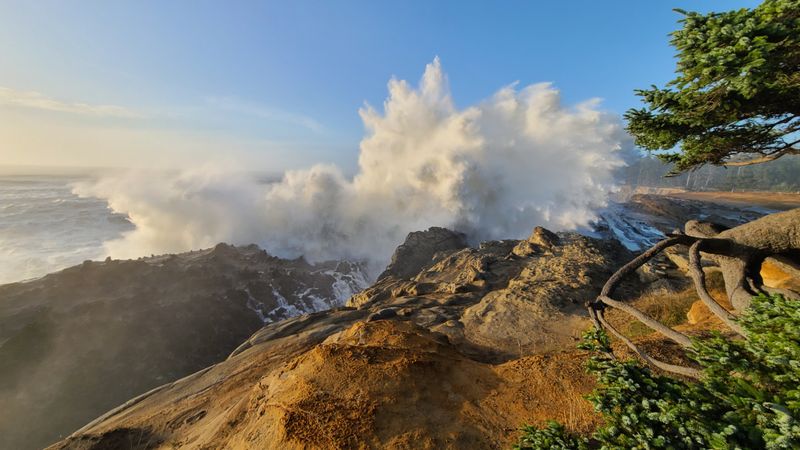
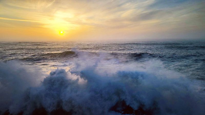
Axial’s summit lies about 1.4 kilometers beneath the ocean surface, almost a mile down. At that depth, eruptions do not disturb the sea surface, so you will not see fountains or floating ash. Water pressure is immense, confining bubbles and keeping activity relatively contained.
This depth matters for safety and science. It means coastal communities and ships are not at risk from surface effects tied to Axial’s usual behavior. It also lets researchers watch submarine volcanism without the turbulence that makes some shallow eruptions unpredictable.
For you, the takeaway is simple. The volcano’s drama unfolds far below daylight and waves, out of sight and out of harm’s way. Instruments reach the summit while storms pass overhead, and the data stream continues even when the sea is rough.
3. Most Monitored Underwater Volcano
Axial is considered the best instrumented submarine volcano on Earth. Dozens of sensors track quakes, tilt, temperature, pressure, chemistry, and seafloor motion. Cables feed power and real-time data to shore, turning the volcano into a continuous experiment instead of a once-a-year snapshot.
You benefit from this because forecasts do not rely on guesswork. Scientists can watch trends build, compare them to past eruptions, and update timing windows. If you follow the feeds, you will see graphs of inflation, earthquake counts, and hydrothermal changes that read like a heartbeat.
Most places never achieve this coverage. Here, dense instrumentation means surprises are smaller and explanations clearer. Axial shows what is possible when technology, funding, and curiosity meet in a single seafloor neighborhood.
4. Eruption Prediction Update
Earlier outlooks pointed to a possible 2025 eruption, but new analyses push the likely window toward mid-to-late 2026. That shift reflects steady inflation, evolving earthquake patterns, and comparisons with previous eruptive cycles. You can think of it like reading a tide table for magma pressure.
Forecasts are not promises. They are living estimates that change as the volcano reveals more of its rhythm. You will see researchers trim or extend windows as datasets mature and physics-based models digest fresh signals.
The key point is that confidence grows with evidence. Right now, the trend lines suggest 2026 is the better bet, while acknowledging uncertainty in exact start day and duration. Staying tuned to official updates keeps you ahead of rumors and closer to the science.
5. No Immediate Danger to People
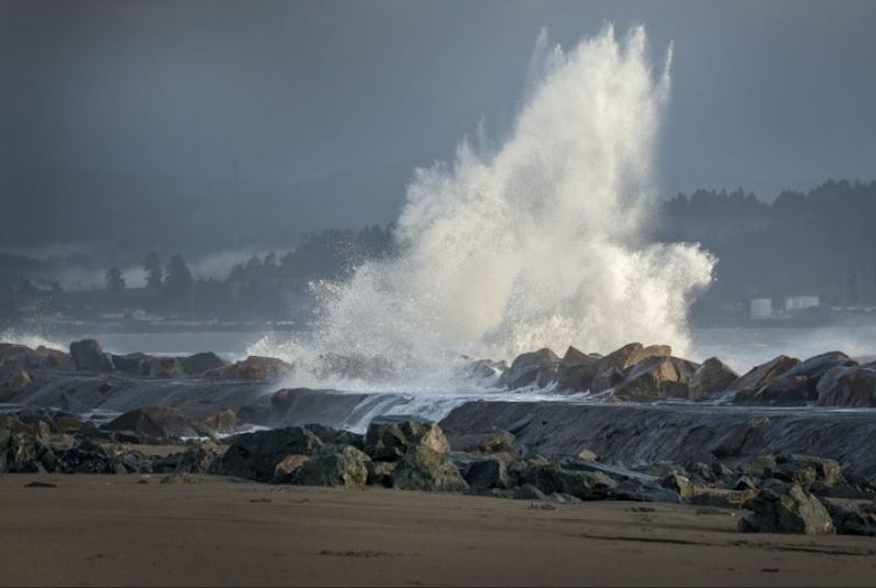
Because Axial sits far offshore and deep beneath the waves, it poses essentially no direct risk to people. Typical activity does not create tsunamis, threaten coastal towns, or disrupt shipping lanes. You can visit Oregon’s beaches without worrying about this volcano.
Safety assessments draw on history and physics. Effusive eruptions at great depth release energy slowly compared to explosive blasts. Pressure and distance are natural buffers, and monitoring networks add layers of assurance by spotting changes early.
If you care about ocean commerce or tourism, good news: routine operations continue unaffected. The story here is science, not hazard. Watching Axial helps protect populations near more dangerous volcanoes while leaving Oregon’s shoreline life unchanged.
6. Eruption Style
When Axial erupts, it favors effusive lava flows that creep along the seafloor through fissures. Imagine glowing basalt pillows stacking gently, building low mounds instead of towering cones. You will not see ash plumes or thunderous blasts common to some land volcanoes.
Water pressure modulates gas release, encouraging steady outpourings rather than shattering explosions. This style allows researchers to map new flows, sample fresh rock, and link lava chemistry to pressures in the magma system. It also means nearby sensors can survive and keep streaming data.
For you, the imagery is cinematic yet calm: rivers of rock in cold darkness, guided by the ridge’s fractures. That quiet persistence shapes the terrain and the timelines that models try to predict. Effusion, not detonation, defines Axial’s usual behavior.
7. Historical Eruptions
Axial’s known modern eruptions occurred in 1998, 2011, and 2015. Those events anchor the playbook scientists use today, linking inflation rates, earthquake swarms, and lava distribution to a repeatable cycle. You can think of them as three chapters of the same story.
Each eruption reset the seafloor’s shape, carving new channels and burying old terrain. Instruments recorded deflation during eruption, then renewed inflation as magma recharged. Those signatures are the fingerprints forecasters compare against current data to refine 2026 expectations.
If you like patterns, Axial delivers. The intervals are not perfectly regular, but they are informative enough to narrow windows. Past ash-free, effusive behavior strengthens the case for low hazard and high learning value offshore Oregon.
8. Swelling Signals
Seafloor inflation and deflation are Axial’s telltale signs. Inflation means magma is pressurizing the system, gently lifting the caldera floor. During eruption, rapid deflation marks withdrawal of magma into erupting fissures. You can visualize the volcano breathing, slowly inhaling then exhaling.
These motions are measured by pressure sensors, GPS-like acoustic arrays, and tiltmeters on the caldera. The records align with the eruption history, making swelling cycles a cornerstone of forecasting. When the curve bends upward faster, researchers pay closer attention.
For you, the message is clear: swelling is not danger at the beach, but it is a strong internal clue. Add seismicity and chemistry, and the picture sharpens. Together, those datasets steer the 2026 timeline with more confidence.
9. Seismic Activity
Rising earthquake counts often precede Axial’s eruptions, but the patterns are not perfectly consistent. Deep quakes can hint at magma movement, while shallow swarms trace opening fissures. You might see bursts of activity that quiet suddenly, then ramp back up.
That variability complicates exact timing. Scientists compare current swarms to past sequences, looking for familiar rhythms. They also watch quake depths and locations migrate, a sign that stress is focusing along potential eruption pathways.
For you, the takeaway is that quakes add context rather than final answers. When seismic signals align with inflation and temperature changes, confidence grows. This layered approach helps keep forecasts nimble and grounded in data.
10. New Prediction Methods

Researchers are testing physics-based forecast models that ingest real-time data from Axial’s instruments. These models simulate magma pressure, rock elasticity, and fault behavior to estimate eruption timing windows. You can think of them as weather models for a volcano beneath the sea.
Machine learning supports the physics by spotting subtle patterns in large datasets. Still, the goal is not black box magic. Scientists validate predictions against past eruptions and adjust model parameters as new observations arrive.
For you, that means forecasts should tighten as 2026 approaches. Transparent methods and open data let the community check claims and improve them quickly. It is an iterative path toward better warnings for riskier volcanoes on land.
11. Long Monitoring History

Monitoring at Axial stretches back to at least 1997, creating a rare, continuous archive. That longevity is priceless because trends only reveal themselves across multiple cycles. You can see how inflation rates evolve, how quake swarms cluster, and how lava pathways shift with time.
Every cruise added pieces: new sensors, better maps, and refined calibration. The continuity lets researchers separate seasonal ocean noise from volcanic signals. It also builds trust in models by testing them against decades of reality.
For you, the long view means fewer surprises and clearer explanations. When the next eruption happens, it will slot into a timeline rather than stand alone. History is not just background at Axial. It is the guidebook.
12. Ocean Observatories Initiative
The OOI Regional Cabled Array is Axial’s digital lifeline. Fiber optic cables deliver power and stream real-time data from seismometers, tiltmeters, cameras, and chemical sensors back to shore. You can watch the volcano’s pulse without waiting for ships to retrieve instruments.
This infrastructure turns sporadic trips into continuous observation. It supports experiments, quick alerts, and rich public datasets students can explore. When the system detects inflation changes or quakes, updates propagate immediately to research teams.
For you, that means better forecasts and transparency. The array anchors a model for future observatories at other submarine volcanoes. Axial’s cables are not just wires. They are a scientific nervous system.
13. Natural Laboratory

Axial is a natural laboratory for understanding how eruptions begin. Conditions are controlled by plate spreading, depth, and predictable magma supply. You can test theories here that would be risky or impossible to attempt at hazardous land volcanoes.
Each eruption provides experiments in real time: pressure changes, cracking episodes, and lava transport. By comparing results across events, researchers refine models that inform emergency planning elsewhere. Lessons travel from deep ocean to populated valleys.
For you, the value is indirect but profound. Insights from Axial feed tools that protect communities near explosive volcanoes. The seafloor’s quiet glow becomes a safety dividend onshore.
14. Marine Life Effects

Eruptions at Axial can heat seawater locally and release chemicals that fuel unusual deep-sea life. Hydrothermal vents may flare, feeding microbes that build the food web for tube worms and other creatures. You will not see this from shore, but ROV cameras reveal thriving pockets of biology in the darkness.
These ecosystems expand and contract as lava reshapes the terrain and plumbing. Scientists sample fluids and track temperature shifts to understand how life adapts to sudden change. The volcano acts like a reset button, creating new habitats while sealing old ones.
For you, it is a reminder that volcanism shapes more than rocks. It engineers ecosystems far from sunlight, powered by chemistry instead of photosynthesis. Axial’s eruptions write ecological stories as well as geologic ones.
15. Why It Matters

Studying Axial sharpens eruption forecasts that could save lives near hazardous land volcanoes. The deep ocean setting gives clean signals, long records, and repeatable cycles. You get better tools because researchers can test ideas without facing immediate danger to communities.
Forecasting is about probabilities and timing windows, not exact dates. Axial’s dense networks let models learn quickly, improving alerts elsewhere. Funding here pays dividends worldwide through shared methods and open data.
For you, the bottom line is practical. Understanding this calm, distant volcano helps protect people living near explosive peaks. Axial’s story is a safety blueprint written under a mile of water.


