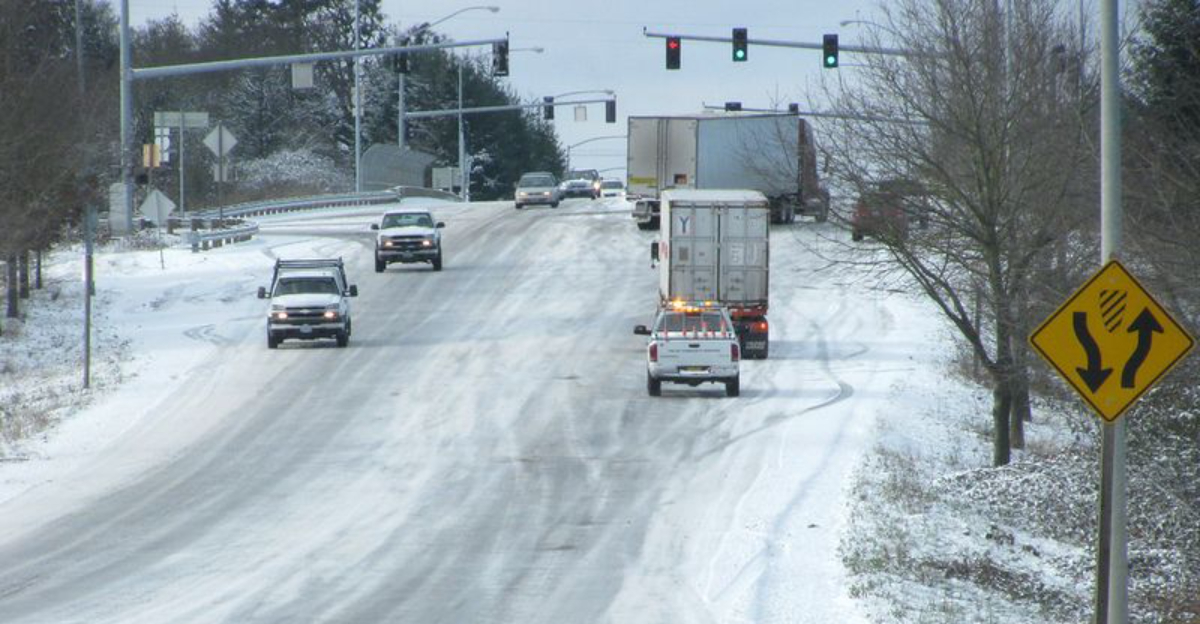
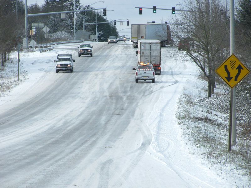
A sharpening blast of cold air and a surge of Gulf moisture are on a collision course, and you are right in the middle of the story. Forecast models hint at a high impact setup that could flip rain to snow or glaze roads with ice from Texas to the Southeast coast. If you live anywhere along this corridor, small temperature shifts could change everything within hours.
Stay with this guide to understand what to watch, how to prepare, and when to act.
Meteorologists are tracking a developing winter storm that could spread disruptive snow and ice from Texas to the Southeast coast late this week. Cold air is pressing south while deep Gulf moisture lifts north, and where they overlap, wintry precipitation becomes likely. For many of you in the South, this setup is unusual enough to warrant extra attention and quick preparation.
Confidence is growing in impactful weather, but details are still evolving. A one or two degree temperature change, or a 50 mile track shift, could flip snow to sleet, or rain to a dangerous glaze of ice. You should focus less on exact totals and more on impacts to roads, power, and timing around school or work.
Expect winter alerts to be issued with limited lead time as models converge. Crews may pretreat roads, but ice can still overwhelm bridges and overpasses fast. Have essentials ready, charge devices, and identify safe alternatives if travel becomes hazardous.
Remember that Southern infrastructure is not built for long stretches of snow and ice. Even brief bursts can trigger closures and service interruptions. If forecasts trend colder, expect a larger corridor of snow and sleet to expand.
If the storm shifts warmer, ice risk could pivot closer to the coast while inland zones keep snow chances. Either way, prepare as if you will be affected. Monitor updates frequently and be ready to adjust plans quickly.
Texas may be the first to feel impacts as colder air settles in before Gulf moisture arrives. If temperatures dip just enough, northern and central zones could trade rain for snow, sleet, or a thin but dangerous glaze. Even light icing can overwhelm bridges, ramps, and flyovers you use every day.
Travel tends to deteriorate fast when freezing rain begins, so staying off roads may be your safest call. Airports could see deicing delays, and short bursts of wintry precipitation may ripple through flight schedules. Keep fuel tanks half full, park away from tree limbs, and protect outdoor faucets and pets.
Power reliability becomes a concern if ice accretes on lines and trees. Charge devices, gather flashlights and batteries, and consider how you would stay warm if outages occur. Avoid running generators indoors and plan for safe ventilation.
Road treatment availability can be limited, so conditions may remain slick longer than you expect. If you must drive, reduce speed, avoid sudden braking, and give trucks plenty of room. Black ice forms first on bridges and overpasses long before main lanes.
Follow local emergency management and National Weather Service updates closely. Timing may change, but early preparation always pays off. Set weather alerts on your phone so you get advisories the moment they post.
As the system shifts east, the Southeast could see rare snow and ice from Louisiana and Mississippi to Alabama, Georgia, and the Carolinas. Inland locations have a better shot at snow, while a corridor nearer the Gulf and Atlantic favors sleet or freezing rain. Do not fixate on totals, because a thin ice glaze can be more disruptive than several inches of snow.
Even small amounts of ice can bring down tree limbs and power lines. That means scattered outages and dangerous travel, especially on untreated roads. If you live on hilly terrain or rely on bridges, plan for alternative routes or delayed departures.
Snow removal resources are limited, so disruptions can linger after the precipitation ends. Schools and businesses may close quickly to keep people off slick roads. Keep extra blankets, water, snacks, and medications handy in case power restoration takes time.
Expect forecasts to wobble with track and temperature adjustments. A subtle warm layer aloft could turn fluffy flakes into sleet pellets or freezing rain in less than an hour. You will want flexibility in schedules and patience on the roads.
Keep your phone charged and enable alerts from local officials. If you see ice accretion on trees, stay clear of sagging lines and report hazards. Prepare now so the storm becomes an inconvenience rather than a crisis.
If this storm blossoms, travel and infrastructure across the South could slow or stop in waves. Highways, airports, and rail lines are all vulnerable when snow and ice arrive together. The first places to fail are often bridges and overpasses, which freeze quickly and catch drivers off guard.
Air travel may face ground delays for deicing and runway treatments. Small changes in precipitation type can cascade into cancellations, so build buffer time into plans. If you can postpone, doing so may save money, stress, and hours on hold.
Power outages become more likely as ice builds on trees and lines. Utilities often pre stage crews, but restoration takes time when damage is widespread. Keep refrigerators closed and have backup charging options for critical devices.
Public works teams may apply brine and sand, yet prolonged icing can outpace treatments. Consider telework arrangements, reschedule deliveries, and check on neighbors who may need help. If you must drive, slow down and increase following distance dramatically.
Stay tuned to official alerts and push notifications for closures and advisories. A flexible mindset will help you pivot as conditions shift hour by hour. Prepare now so you can avoid unnecessary trips once precipitation begins.


