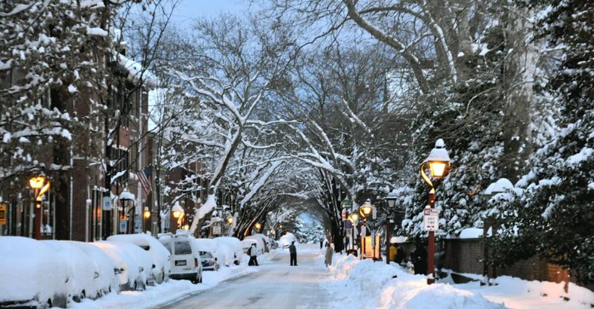
A busy winter pattern is revving up from the desert peaks to the lake shores, and you can feel the tension in the forecast. Successive storm waves are lining up, promising fresh snow, shifting timelines, and changing travel conditions day by day.
Even modest totals add up quickly when the flakes keep returning, which is why alerts are widespread and evolving. If you have plans on the road or in the air, now is the time to stay nimble and tuned into local updates.
Multiple Rounds of Snow Stretch From the Four Corners to the Great Lakes
Meteorologists are tracking an active jet stream guiding several quick moving systems from the Four Corners into the Great Lakes. Instead of one blockbuster storm, you get repeated bursts of snow that stack up over days.
That cadence can be deceiving because each round looks manageable until the totals accumulate and roads glaze over repeatedly.
Higher elevations and northern latitudes will bank the most accumulation, but even moderate totals become disruptive when crews get little recovery time. Expect shifting start and stop times as small track adjustments tug bands north or south.
That means your town could dodge one wave, then sit under the next with heavier rates.
Hazards include slick commutes, school schedule changes, and stressed infrastructure as plows and salt supplies get stretched. Visibility dips quickly under heavier bursts and when winds pick up.
Keep checking updated advisories because a subtle wobble in the storm path can swing totals and timing more than you would expect.
If you must travel, build in extra time and have a backup plan. Keep your vehicle winter ready and follow local guidance.
The smartest move is staying weather aware as each round approaches and passes, then resets the clock for the next.
Four Corners Region Faces Mountain Snow and Travel Hazards
Mountain snow is set to intensify across the Four Corners, and passes can turn tricky fast. You might start under flurries and find yourself in a near white curtain at elevation.
Even when totals are moderate, gusts funnel through canyons and whip snow across lanes, reducing visibility and confidence behind the wheel.
Road surfaces cool rapidly after sunset, so bridges and shaded curves slick over first. Lower valleys may mix rain and wet snow, then refreeze into surprise slick spots overnight.
Remote highways often have fewer services, which makes a stalled vehicle far more vulnerable in declining conditions.
Before heading out, check DOT cameras and chain requirements if posted. Pack a winter kit with warm layers, water, snacks, flashlight, scraper, and a full battery on your phone.
A small shovel and traction aids are smart adds when shoulders are narrow and plows are rotating shifts.
Officials urge delaying trips when heavy bursts are forecast, especially during the evening transition. If you must go, slow down, increase following distance, and avoid sudden braking on icy curves.
Staying flexible with timing can turn a risky crossing into a routine drive once crews clear the worst bands.
Central Plains and Midwest Brace for Repeated Snow Events
Successive systems are slated to cross the central Plains and Midwest, each adding a fresh layer of snow. None may be a blockbuster alone, but together they complicate commutes, slow freight, and test patience.
Gusty winds across open country loft powder, drifting across roads and obscuring lane markings.
Cold temperatures boost accumulation efficiency, so lighter rates still stick readily. You will likely notice the overlap with rush hours as slick conditions worsen right when traffic peaks.
Small track wiggles matter here, shifting the corridor of heavier bands across counties between events.
Towns and cities will cycle between plowing, treating, and waiting for the next round to begin. That pacing stretches crews and can leave compacted snow on secondary streets.
If you rely on regional flights, plan for deicing delays and rolling schedule adjustments at major hubs.
Give yourself cushion time, keep fuel topped up, and move errands earlier when windows open. Good tires and gentle inputs on the wheel and brakes make a real difference on packed snow.
Staying alert to updated advisories helps you dodge the worst windows and travel with less stress.
Great Lakes Region Faces Snow and Lake-Effect Enhancement
Cold air sweeping over the relatively warmer Great Lakes can turbocharge snowfall, producing lake effect bands that park over narrow corridors. One neighborhood gets dumped on while a town ten miles away sees flurries.
That sharp gradient makes planning tricky because small wind shifts can relocate the worst conditions within an hour.
Snow may continue well after the main system exits, extending impacts for days. Persistent bands plus gusts create near continuous blowing and drifting over exposed stretches.
Travel can swing from manageable to dicey within minutes as you cross in and out of squalls.
Downwind communities know the drill, but it still pays to prepare. Keep a shovel and brush handy, charge devices, and watch local radar loops for band placement.
Parking regulations and school calls often depend on exactly where the band sits before daybreak.
If you must drive into the teeth of a band, slow down, use low beams, and avoid sudden moves. Give plows room to work as visibility drops and snow fills ruts quickly.
Staying in touch with local alerts helps you time errands between bursts and avoid the most intense streaks.


