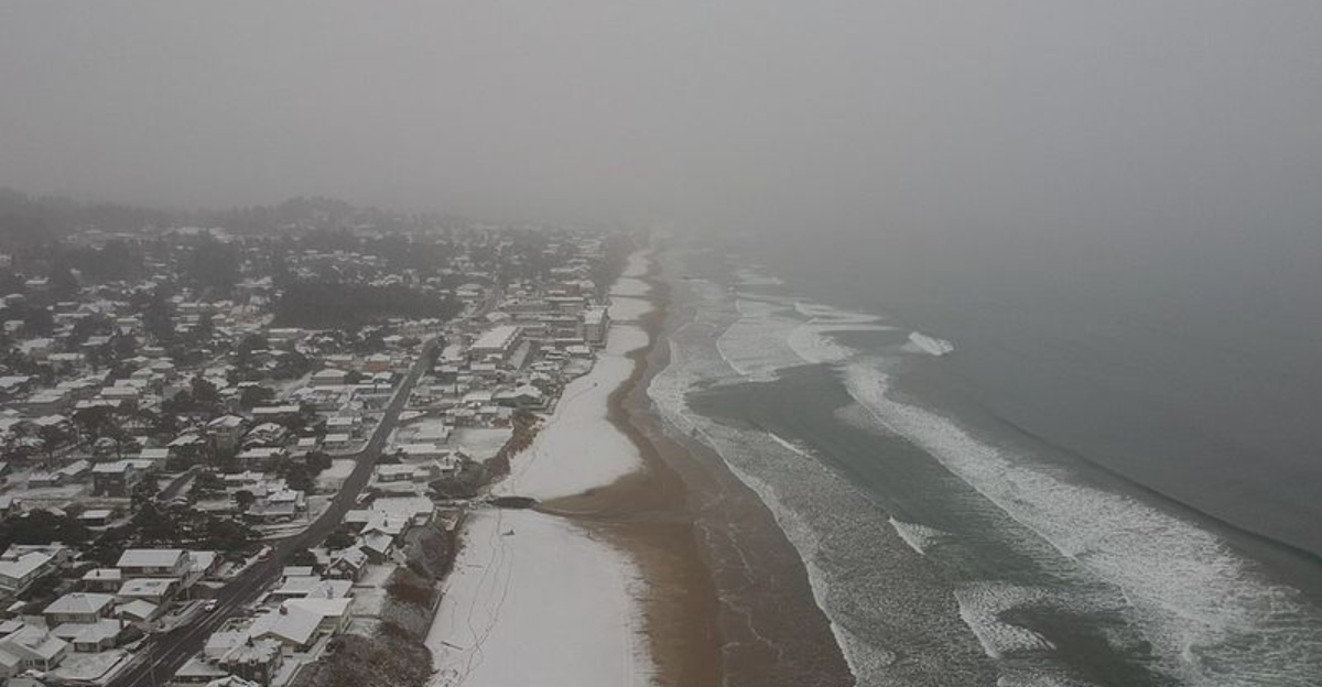
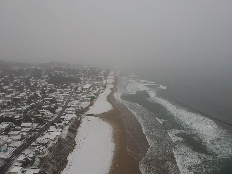
Florida might trade sun hats for scarves this weekend as a sharp blast of Arctic air barrels south. Forecasters are eyeing a rare Gulf-effect setup that could fling a few stray snowflakes along parts of the Gulf Coast.
The odds are low, but the science is fascinating and the visuals could be unforgettable. If you have ever wondered whether Florida can truly see snow, this is the moment to watch closely.
Florida is bracing for an unusually sharp cold front that drags Arctic air deep into the peninsula, setting the stage for a Gulf-effect snow possibility. As that bitter air crosses comparatively warm Gulf waters, it can pick up moisture, build clouds, and squeeze out light snow or flurries.
The window looks narrow, centered late Saturday night into early Sunday morning along stretches of the Gulf Coast.
Meteorologists peg the chance near 10 to 20 percent, emphasizing just how delicate the setup is. The air must be cold enough at multiple levels while winds align to steer moisture onshore.
If the timing slips or the air dries out, the snow chance fades just as quickly.
Even if flakes appear, they should be fleeting with no measurable accumulation, more a curiosity than a disruptive event. Expect most reports to be quick social media sightings rather than measurable totals.
Still, for weather fans across the Sunshine State, even a brief flurry would be a headline moment worth scanning the radar for.
Gulf-effect snow borrows the same playbook as lake-effect snow, just with saltwater and subtropical geography. Very cold air moves over warmer water, absorbs heat and moisture, and becomes unstable, building cloud streets.
Those clouds drift downwind, and if temperatures are sufficiently cold through the column, they can drop flurries or light snow.
Florida almost never checks all the boxes. Surface and midlevel temperatures rarely sink low enough, and Arctic air often arrives parched.
Add the requirement for a steady northwest fetch across open water, and the odds get slimmer still.
Even on a good day, any snow bands are narrow, transient, and starved for moisture compared to Great Lakes setups. That means brief bursts rather than prolonged accumulation.
The bigger story remains the statewide cold, but the science of warm water meeting Arctic air makes this rare flirtation with snow uniquely captivating.
Forecasters point to Florida’s west coast from Tampa Bay north into the Big Bend as the zone to watch. Late Saturday night into early Sunday aligns the coldest air with lingering Gulf moisture.
That timing maximizes instability just enough for narrow streamer bands to flirt with the shoreline.
Coastal communities like Tampa and Clearwater hold the highest theoretical potential due to proximity to the moisture fetch. Inland, the plume weakens, so flurry chances drop quickly.
Even along the beaches, expect no accumulation, with flakes melting on contact.
Historically, measurable snow here is exceptionally rare, appearing maybe once in several decades. That rarity is why a few stray flakes would still command attention.
Keep an eye on short-fuse forecasts, coastal radar, and surface obs to catch any fleeting bursts before sunrise.
Even without snow, the cold will be the headline. Freeze and hard-freeze alerts are posted for parts of North and Central Florida, with lows plunging into the 20s and 30s.
Brisk northwest winds will add bite, sending wind chills into the teens for some inland spots.
Prepare your home and family like you would for any rare cold snap. Protect vulnerable plants, bring pets indoors, and drip or insulate exposed pipes.
Layer up if heading out early, and limit outdoor time if you are sensitive to cold.
Road impacts should stay minimal, but chilly mornings could stress vehicles and batteries. Expect elevated energy demand as heaters run, and check on neighbors who may need extra help.
Whether flakes appear or not, the Sunshine State is in for a memorable winter weekend.


