A quick-hitting burst of winter weather is lining up again for the East, bringing snow, wind, and travel slowdowns just in time for the weekday rush. Fast-moving clippers will slide out of Canada and cross key corridors, dropping light to moderate snow that sticks on cold surfaces.
You will not see blockbuster totals, but timing and wind could still cause slick roads and sudden whiteouts. Here is what to expect and how to stay a step ahead.
Fast-Moving Snow Systems Sweep Across the East
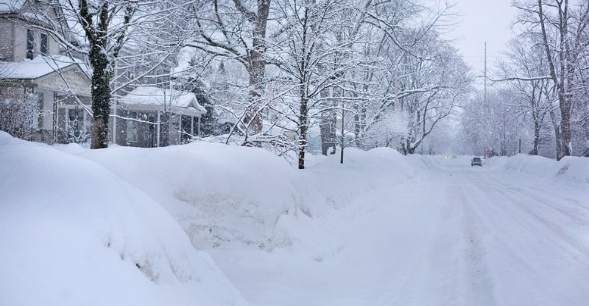
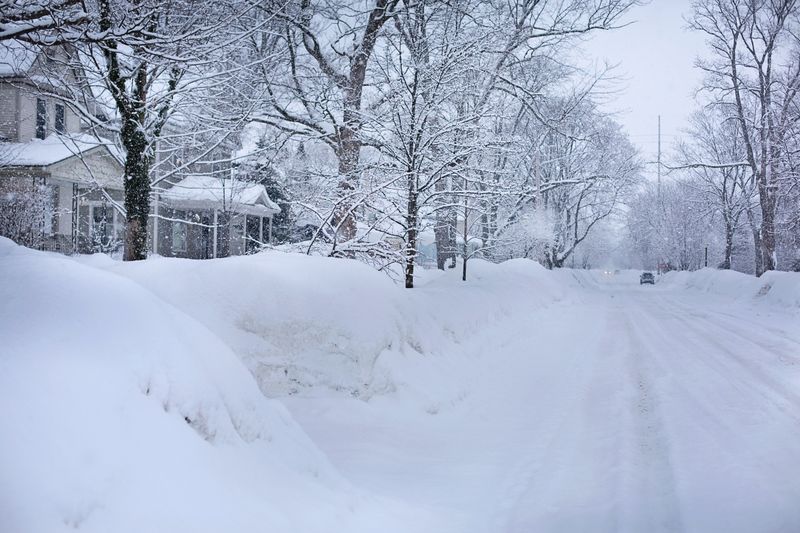
An active clipper pattern continues to press across the eastern U.S., with the first wave sliding from Canada into the Ohio Valley and Mid-Atlantic Tuesday into Wednesday. Expect a general 1 to 2 inches for many locations, with slightly higher totals in the higher ridges of the central and southern Appalachians.
Roads that stay below freezing will turn slick, and early starts could find untreated bridges especially icy. Later in the week, a second compact system will drop across the Great Lakes and Northeast from Thursday into Saturday.
Most spots will see 1 to 3 inches, but gusty winds can whip up snow squalls that briefly cut visibility to near zero. Those bursts often arrive with little warning, so keep alerts on and slow down when flurries intensify.
These quick hitters are not the season’s blockbusters, yet they still add up when Arctic air lingers. Fast movement limits totals, but timing during commutes makes impacts feel larger.
Plan for staggered plow passes, minor flight delays, and some spotty power hiccups where gusts rattle tree limbs and lines.
Why Clippers Continue to Target the East
Clipper systems are small, energetic low pressure waves that originate in southern Canada, then race southeast along a quick jet stream. They feed on sharp temperature contrasts and can tap lingering Arctic air to wring out powdery snow.
Because they are compact and fast, snowfall is usually light to moderate, yet persistent enough to bother drivers. This season, entrenched cold keeps boundary layers below freezing across a wide swath of the East.
That means marginal events that might have been rain now fall as snow showers, coating roads and sidewalks repeatedly. The jet stream’s active pattern aims each clipper across the Great Lakes, Ohio Valley, and Northeast, refreshing the snowpack and keeping hillsides white.
Even if totals stay modest, repetition matters for daily life and municipal budgets. Frequent salting cycles, recurring plow runs, and school schedule tweaks become the norm.
With cold air locked in, the atmosphere favors quick reloads, allowing successive waves to maintain hazards for commuters and keep winter squarely in place.
Travel and Daily Life Impacts This Week
Even a couple of inches can upend plans when it arrives at the wrong time. During the Tuesday to Wednesday clipper, slick bridges and ramps in the Ohio Valley and Mid-Atlantic will challenge the morning rush.
If snow starts before sunrise, untreated surfaces may glaze over, so give yourself extra room and avoid hard braking. From Thursday into Saturday, the Great Lakes and Northeast face renewed issues as gusty winds lift loose snow into the air.
Short-lived squalls can drop visibility in seconds and create sudden ice patches. Expect slower clearing on secondary roads, scattered delays on I-95 and New England interstates, and occasional spinouts near lake-effect belts.
Air travel may see rolling delays as deicing operations bottleneck turnarounds. Transit riders should plan for staggered schedules, while delivery services and school districts weigh timing against safety.
Keep an eye on Winter Weather Advisories and localized squall warnings, and build buffer time into trips when bands start to blossom.
What This Means for the Broader Winter Outlook
This week’s parade of quick systems signals a winter pattern that is not letting go. Cold air remains positioned over the East, priming the pump for additional clippers through early February.
Individually, each event may be modest, yet the cadence keeps snow cover refreshed and roads susceptible to recurring slick spots. For planners, that means budgeting for frequent but lighter treatments rather than rare blockbusters.
Utility crews should expect sporadic wind nudges, minor line issues, and scattered tree limb breaks. Freight and delivery networks will need flexible routing to navigate brief whiteouts and tighter deicing windows at regional hubs.
For households, small habits matter: charge devices, restock salt, and track alerts from local offices. Staying weather aware helps you thread the needle between bursts, schedule appointments smartly, and keep vehicles winter ready.
Until the pattern relaxes or a thaw intrudes, anticipate more quick hits that extend winter’s hazards without headline snow totals.


