Rivers give life, but they can also take it away in ways that are hard to wrap your head around. From ancient flood catastrophes that wiped out entire villages to modern boat disasters on remote waterways, the world’s rivers have a dark side most people never think about.
I grew up near a river and always thought of it as peaceful and calm, until I learned just how many rivers have earned their deadly reputations the hard way. These 14 rivers are beautiful, powerful, and in some cases, genuinely terrifying.
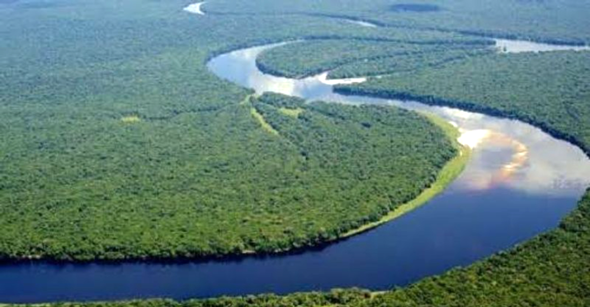
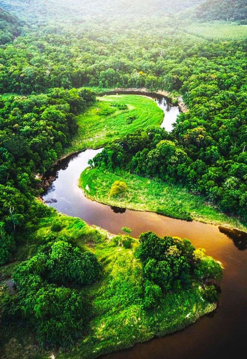
Yangtze River (China)
China’s longest river has a resume that no one would want. The Yangtze stretches over 3,900 miles and drains a basin home to hundreds of millions of people.
That combination of size and population density makes floods here catastrophic on a scale most of the world has never experienced.
The 1931 Yangtze flood is widely considered one of the deadliest natural disasters in recorded history. Death toll estimates vary wildly, ranging from 145,000 to nearly four million, depending on the source and methodology used.
The sheer uncertainty of those numbers tells you something about how devastating the event truly was.
Modern flood controls, including the Three Gorges Dam, have reduced some risks. But the Yangtze basin remains vulnerable during heavy monsoon seasons.
In 2020, major flooding along the river caused billions in damages and displaced millions of people all over again.
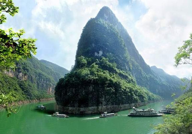
Yellow River / Huang He (China)
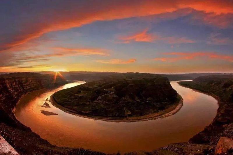
Called “China’s Sorrow” for very good reason, the Yellow River has killed more people through flooding than possibly any other river on Earth. Its nickname is not poetic exaggeration.
It is a hard-earned title written in generations of tragedy.
The 1887 flood killed an estimated 900,000 to two million people. Then came 1931, which was even worse.
And in 1938, the Chinese Nationalist government deliberately breached the river’s dikes to slow a Japanese military advance, killing hundreds of thousands of their own civilians in the process. That last one is particularly haunting.
The river carries so much sediment that its bed actually rises over time, eventually sitting above the surrounding land. When the levees fail, there is nowhere for the water to go except everywhere.
Engineers have been fighting this river for thousands of years, and the river keeps winning rounds.
Ru River (China)
Most people have never heard of the Ru River, and honestly, that is part of what makes its story so shocking. This smaller waterway in Henan Province, China, became ground zero for one of the deadliest engineering failures in human history.
In August 1975, Typhoon Nina dumped an extraordinary amount of rain onto the region. The Banqiao Dam, built on the Ru River, failed catastrophically.
A cascade of dam failures followed, releasing a wall of water across the countryside. Death toll estimates range from around 26,000 to well over 200,000, depending on whether you count direct drownings or the disease and famine that followed.
For decades, the Chinese government kept the disaster classified. The full story only emerged slowly over time.
The Ru River itself is small, quiet, and easy to overlook on a map. But what happened here in 1975 proves that even modest rivers, when pushed past their limits, can become instruments of mass destruction.
Indus River (Pakistan)
Pakistan’s 2010 floods were not just a national disaster. They were a global wake-up call about how climate-driven flooding can overwhelm entire countries.
The Indus River system was at the center of it all.
Around 2,000 people died. Nearly 20 million more were displaced, which is a number so large it is hard to process.
About one-fifth of Pakistan’s total land area went underwater at the peak of the flooding. Crops, livestock, roads, homes, and livelihoods vanished under the brown surge of the Indus and its tributaries.
The Indus is one of Asia’s great ancient rivers, the backbone of the Indus Valley Civilization that thrived thousands of years ago. Today it remains a lifeline for Pakistani agriculture.
But during monsoon season, that lifeline can snap. The river drains a massive Himalayan watershed, meaning that heavy snowmelt plus intense rainfall can turn a manageable river into an unstoppable force within days.
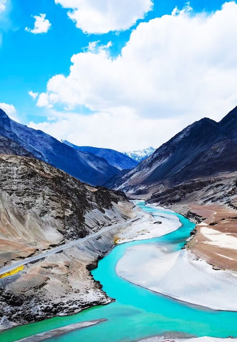
Brahmaputra River (India/Bangladesh)
Every monsoon season, residents of Assam hold their breath. The Brahmaputra River, one of the widest in the world, swells with Himalayan snowmelt and relentless seasonal rains.
The result is flooding that feels less like a disaster and more like an annual appointment with chaos.
Assam is consistently ranked among India’s most flood-prone states, and the Brahmaputra is largely responsible. Major flood years have killed thousands, displaced millions, and submerged entire national parks, including the famous Kaziranga, home to the one-horned rhinoceros.
The wildlife gets displaced right along with the people.
Downstream in Bangladesh, the situation can be even more dire. The river merges with the Ganges and Meghna to form one of the world’s largest river deltas, a flat, low-lying region with nowhere to drain excess water quickly.
Bangladesh sees some of the world’s most severe flood impacts year after year, and the Brahmaputra is a major contributor to that grim statistic.
Ganges River (India/Bangladesh)
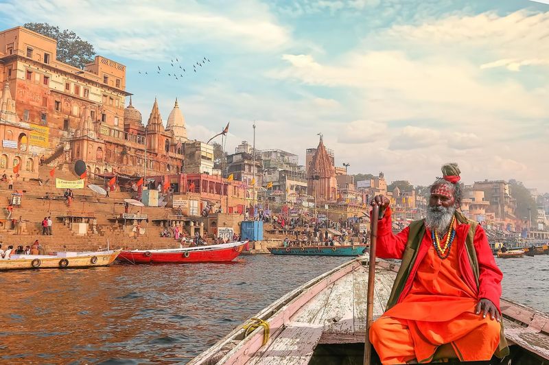
The Ganges is sacred to over a billion people, which makes it both a religious treasure and a public health puzzle. Pilgrims bathe in it daily, and some drink from it, even as the river carries one of the highest bacterial loads of any major waterway on Earth.
Pollution here is not a small problem. Industrial runoff, untreated sewage, and religious offerings all pour into the river constantly.
Cholera, typhoid, and other waterborne diseases have historically traced back to Ganges exposure. The spiritual significance of the river makes pollution control a politically and culturally complicated conversation.
Beyond health risks, the Ganges has seen deadly boat capsizes linked to severe overcrowding. Ferries and pilgrimage vessels packed well beyond safe capacity have gone down with tragic loss of life.
I read about one such capsize and the passenger count on that boat was genuinely jaw-dropping. The river demands respect, and it does not always give second chances.
Mekong River (Southeast Asia)
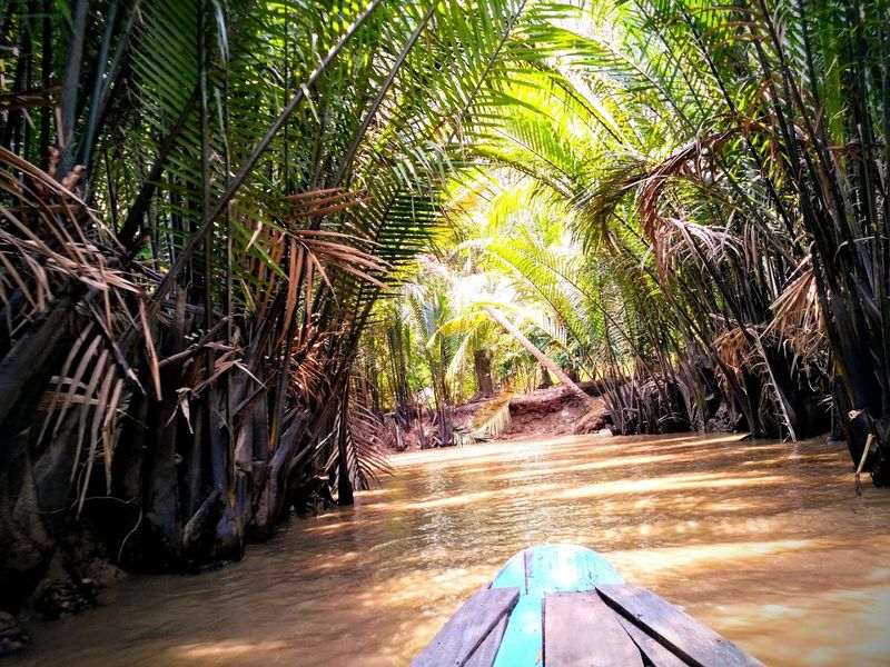
The Mekong flows through six countries and sustains the livelihoods of roughly 60 million people who depend on it for food, water, and transportation. It is the backbone of Southeast Asian life.
It is also a river that does not play nicely when the rains get serious.
The 2000 Mekong basin floods hit Vietnam, Cambodia, Laos, and Thailand hard. Hundreds of people died across the region, and the flooding disrupted agriculture on a massive scale.
Cambodia’s Tonle Sap Lake, which is fed by the Mekong, can expand to five times its dry-season size during peak floods, swallowing surrounding communities whole.
Upstream dam construction, especially in China, has added new complications. Water releases can cause sudden downstream surges with little warning.
Fishermen and river transport workers face risks that are hard to predict and harder to avoid. The Mekong gives generously, but when it gets moody, the consequences spread across an entire continent’s worth of riverbank.
Congo River (DRC/Republic of Congo)
The Congo River holds the title of the world’s deepest river, reaching depths of over 720 feet in some spots. That alone should tell you this is not a body of water to underestimate.
What you cannot see below the surface is as dangerous as what happens on top of it.
Navigation on the Congo is treacherous thanks to a series of powerful rapids and cataracts that make large stretches impassable by boat. The lower Congo section contains some of the most violent river rapids on Earth.
Getting around them requires overland portages that have challenged explorers and traders for centuries.
On the calmer stretches, a different danger lurks. Overcrowded ferries and wooden cargo boats regularly sink on the Congo system, often with catastrophic loss of life.
Safety enforcement is weak, vessels are overloaded, and rescue resources are minimal. Dozens of major boat disasters have occurred on the Congo and its tributaries, many of them killing hundreds of people in a single incident.
Niger River (West Africa)
West Africa’s longest river is also one of its most unpredictable. The Niger winds through Guinea, Mali, Niger, Benin, and Nigeria before emptying into the Atlantic, and along the way it has a habit of turning seasonal flooding into full-scale humanitarian emergencies.
Nigeria’s flood crises in recent years have been severe. In 2012 and again in 2022, massive flooding along the Niger and Benue rivers killed hundreds of people and displaced over a million.
Entire communities were buried under floodwaters for weeks. Agricultural land was destroyed right at harvest time, compounding the disaster well beyond the immediate death toll.
River transport accidents add another layer of danger. Overloaded wooden boats crossing the Niger capsize with alarming regularity.
Nigeria’s waterways see dozens of reported boat disasters every year, many of them involving passenger ferries with no life jackets in sight. The Niger is essential to life in the region, but it collects a grim toll from those who depend on it most.
Nile River (Northeast Africa)
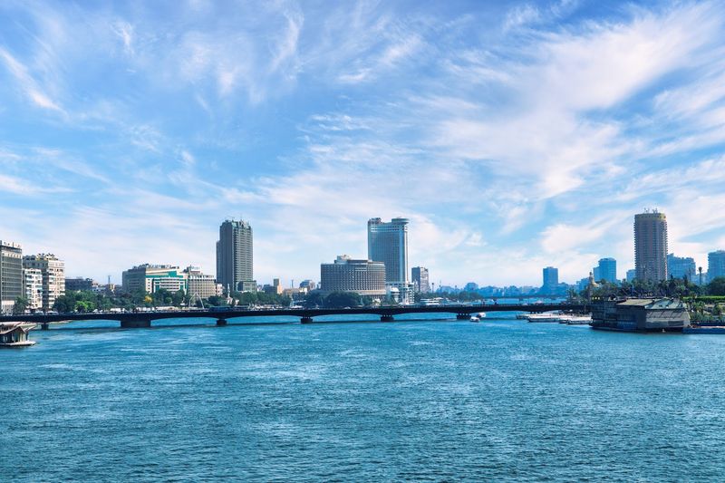
The Nile is the world’s longest river and one of history’s most celebrated waterways. Ancient Egyptians literally built their civilization around its annual floods.
But what was a blessing for pharaohs has become a serious threat for modern communities upstream, particularly in Sudan.
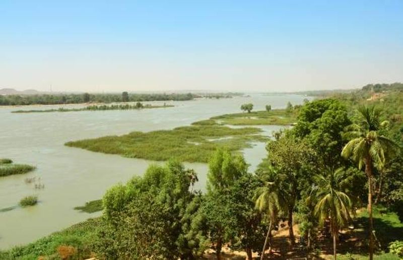
In 2020, the Nile and its tributaries swelled to levels not seen in decades. Sudan declared a national emergency.
Over 100 people died, and more than half a million were affected by flooding that destroyed tens of thousands of homes. The Sudanese sections of the Nile basin are especially vulnerable because of poor infrastructure and limited flood early-warning systems.
Ethiopia’s Blue Nile, which contributes around 85 percent of the Nile’s total flow, drains a highland region that receives intense seasonal rainfall. When those rains are extreme, the surge travels downstream fast.
The ongoing construction of the Grand Ethiopian Renaissance Dam has also added new political and hydrological tensions to an already complicated river system that affects millions of lives.
Zambezi River (Southern Africa)
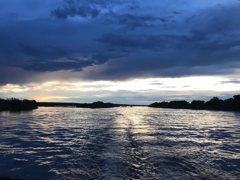
Victoria Falls is one of the most spectacular sights on Earth, and the Zambezi River that creates it is equally impressive. Below those falls, however, the river turns into something that adventure tourists pay serious money to experience and that locals treat with deep, well-earned caution.
The whitewater below Victoria Falls is some of the most intense commercially rafted water in the world. Grade 5 rapids with names like “The Terminator” and “Oblivion” are not subtle about the risks involved.
People have died here, and not just amateurs. Experienced guides and safety kayakers have been caught out by the Zambezi’s unpredictable hydraulics.
Then there are the crocodiles. Nile crocodiles in the Zambezi are among the largest and most aggressive in Africa.
Local wildlife authorities and parks agencies have documented numerous attacks on swimmers, fishermen, and people collecting water near the banks. The Zambezi is genuinely stunning to look at.
Just do not fall in.
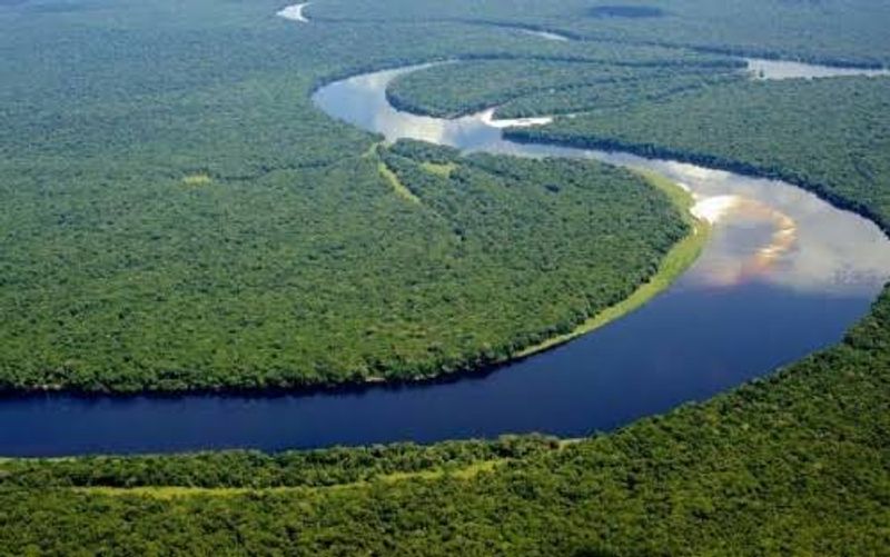
Amazon River (Brazil/Peru/Colombia)
The Amazon carries more water than any other river on Earth, discharging roughly 20 percent of all freshwater that flows into the world’s oceans. It is enormous, remote, and in many parts of the basin, the river is the only road that exists.
That makes it both essential and extremely unforgiving.
Boat disasters on the Amazon are underreported but well-documented by researchers and journalists who cover the region. Overloaded wooden passenger vessels travel long distances through areas with no cell signal, no coast guard presence, and no quick rescue capability.
When boats go down, the death toll often reflects how long it takes help to arrive.
The river itself adds challenges that go beyond overcrowding. Submerged logs, unpredictable currents, and dramatic seasonal flooding all create hazards for navigation.
During peak flood season, the Amazon can rise 30 to 40 feet above dry-season levels, turning forest floors into open water and making landmarks disappear entirely. Getting lost here is genuinely easy.
Mississippi River (United States)
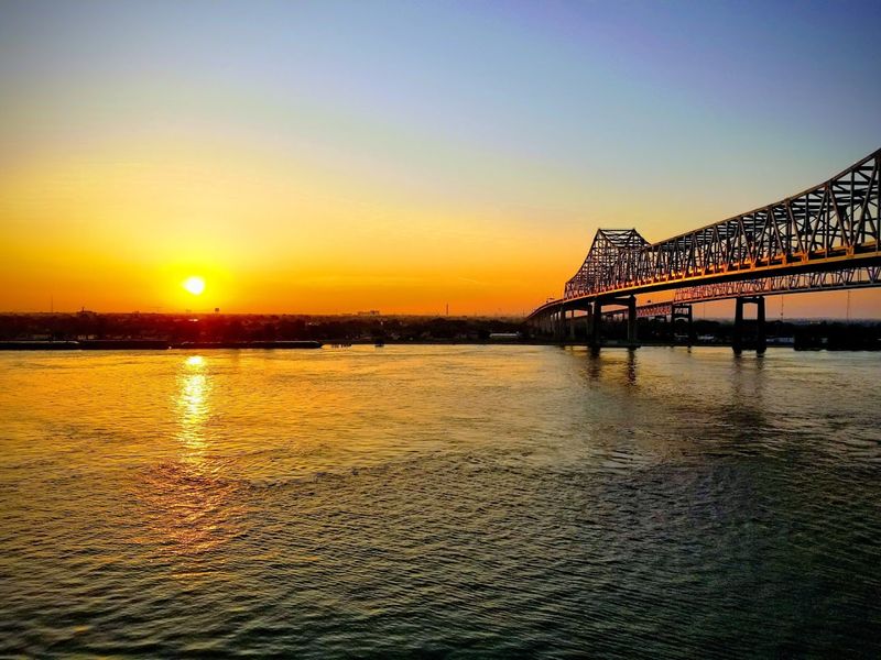
Americans tend to think of the Mississippi as a friendly giant, a scenic backdrop for riverboat cruises and Mark Twain novels. But this river has a mean streak that shows up in the history books with disturbing regularity.
The Great Mississippi Flood of 1927 remains one of the worst natural disasters in American history. The river broke through levees in 145 places, flooding 27,000 square miles across multiple states.
Hundreds of people died, and around 700,000 were displaced. The disaster reshaped federal flood policy and led directly to the modern Army Corps of Engineers flood control system.
It also exposed deep racial inequalities in how flood victims were treated.
More recent floods in 1993 and 2011 caused billions in damages and took additional lives. The Mississippi’s watershed drains 41 percent of the continental United States, meaning that a very large portion of the country’s rainfall eventually finds its way here.
When all that water arrives at once, the results are predictably destructive.
Irrawaddy River System (Myanmar)
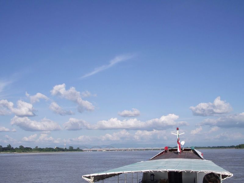
Myanmar’s Irrawaddy River is the country’s lifeline, running north to south and connecting highland communities to the coast. In a country with limited road infrastructure, river transport is not optional.
It is how millions of people get around, move goods, and stay connected to the rest of the country.
That dependency comes with a heavy price. Overcrowded ferries and wooden cargo boats ply the Irrawaddy and its delta channels with minimal safety oversight.
Ferry collisions and capsizes in the Irrawaddy Delta region have resulted in substantial loss of life on multiple occasions. Passenger counts on some vessels are so far beyond safe capacity that accidents seem less like surprises and more like inevitabilities.
Cyclone Nargis in 2008 devastated the Irrawaddy Delta and killed over 130,000 people, many of them drowned by the storm surge that pushed up through the river’s low-lying delta. The Irrawaddy does not just flood.
It amplifies every disaster that touches it, turning storms and accidents into tragedies measured in the thousands.


