There is a rail trail in central Massachusetts that runs alongside a clear river, crosses two wooden bridges deep in the forest, and somehow feels like a well-kept secret even though families have been walking and biking it for decades. The West Boylston section of the this trail sits on the former bed of the Central Mass Railroad, a line that once connected Boston to the heart of the state.
Today, the tracks are gone, replaced by a wide packed-gravel path that follows the Quinapoxet River through tall trees, past wildlife, and over those two bridges that give the trail its quiet, forested character. Whether someone is looking for a short walk or a longer outing, this trail delivers a lot without asking much in return.
A Railroad History That Ends With a Storm
Not every trail has a dramatic origin story, but this one does. A powerful hurricane in 1938 tore through central Massachusetts and destroyed several bridges along the 104-mile Central Mass Railroad corridor, eventually making it impossible to keep the line running.
The storm that ended the railroad is the same reason the trail exists today.
Without those washed-out bridges and the financial strain that followed, the railroad might have kept running for decades more, and there would be no trail for walkers, runners, and cyclists to enjoy. History has a way of turning endings into starting points.
The railroad bed was preserved over time and gradually converted into a multi-use trail that now spans multiple towns. The West Boylston section is one of the most popular because of its flat terrain, river views, and the forested setting that the old rail corridor passes through so naturally.
The Quinapoxet River Runs the Whole Way
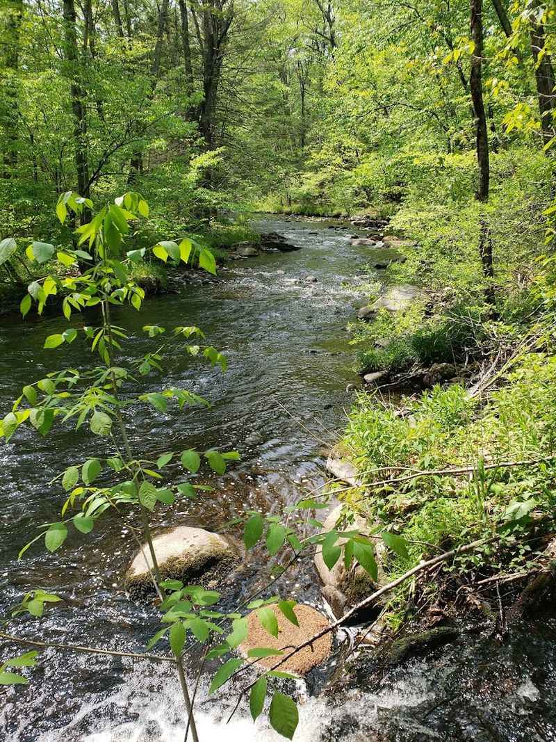
One of the defining features of this trail is the Quinapoxet River, which runs parallel to the path for much of the West Boylston segment. The water is clear and moves at a steady pace, giving the trail a natural soundtrack that keeps things interesting even on a quiet weekday.
The Quinapoxet is part of the Wachusett watershed, which means it plays an important role in the regional water supply. That connection to the watershed is also why dogs are allowed on the West Boylston side of the trail but not in Holden, where water protection rules are stricter.
The river is close enough to the path that you can stop and watch it from several points along the route. In certain spots, the trail and river are separated by just a narrow strip of trees, making the whole walk feel more like a nature corridor than a standard recreational path.
Two Forest Bridges Worth the Walk
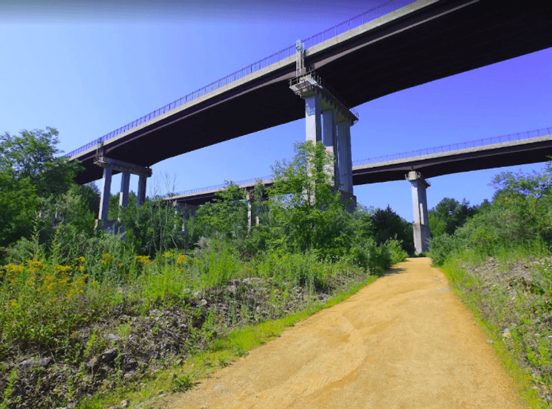
The two bridges on the West Boylston section of the trail are a genuine highlight. Both cross the Quinapoxet River in forested settings, and they give the walk a sense of destination, something to look forward to as the trail winds through the trees.
The bridges were part of a significant infrastructure investment by the state and the DCR, which spent considerable resources improving the trail in recent years. The upgrades made the crossings safer and gave the trail a more polished overall feel without losing its natural character.
Standing on either bridge, the view down the river corridor is worth pausing for. The forest closes in on both sides, the water moves below, and the whole scene has a quiet, removed quality that makes it easy to forget how close the trail is to suburban roads.
These bridges alone make the West Boylston segment stand out from other rail trails in the region.
The Trail Surface: Packed Gravel Done Right
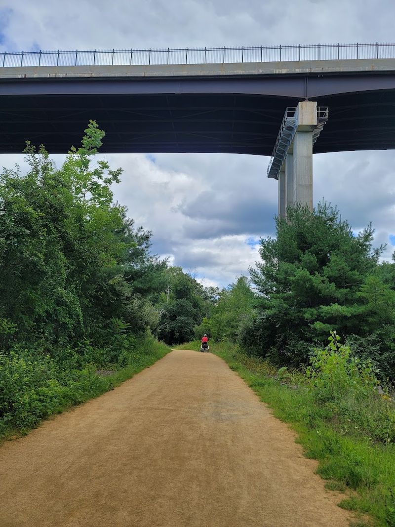
Not all rail trails are created equal when it comes to surface quality. The West Boylston section uses a combination of packed gravel and pea stone that makes for a firm, even surface underfoot.
This is a trail that works well for road bikes, strollers, and anyone who needs a stable footing.
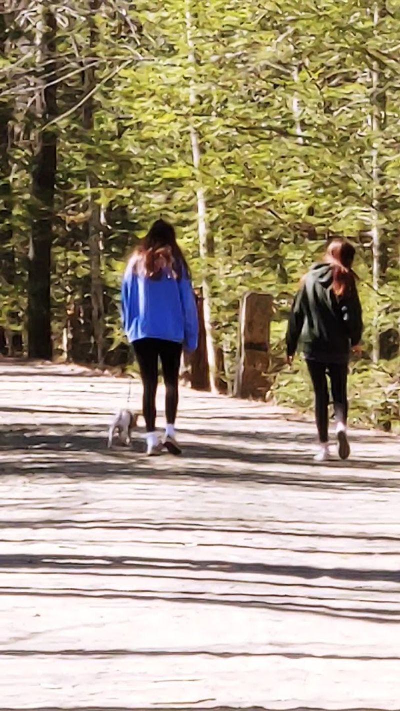
The path is wide enough that walkers, joggers, and cyclists can share the space without much conflict. On busier weekend mornings, there is a steady flow of people moving in both directions, and the width of the trail keeps things from feeling cramped.
The surface holds up well in most weather conditions, though some sections can get a bit soft after heavy rain. Overall, the trail maintenance in West Boylston is consistent, and the DCR improvements made in recent years brought the surface quality up to a standard that handles regular use without deteriorating quickly.
It is genuinely well-kept.
How Long Is the Trail and What Can You Do
The West Boylston segment offers flexibility that not every trail can match. A round trip of about four miles, two miles out and two miles back, is a comfortable outing for most people.
But the trail connects to other sections, making it possible to cover anywhere from one mile to twelve miles round trip depending on how far someone wants to go.
Walking, jogging, running, and cycling are all common on this stretch. The terrain on the West Boylston end is notably flat, which makes it accessible for a wide range of fitness levels.
The trail does get hillier as it continues into Holden, so anyone looking for more of a challenge can head in that direction.
Baby carriages and carts handle the surface well, and the consistent width of the path means passing other trail users is never awkward. The trail has something to offer whether the goal is a quick twenty-minute loop or a longer training outing.
Wildlife Along the Way
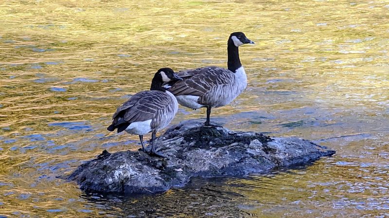
The trail corridor attracts a modest but consistent variety of wildlife. Birds are the most reliable presence, and the tree canopy along the West Boylston section provides good habitat for a range of species.
The river also draws animals to the water’s edge, which gives trail users occasional, unplanned encounters with local wildlife.
Spotting a great blue heron standing motionless near the Quinapoxet is not unusual. Smaller songbirds move through the understory throughout the warmer months, and the general quietness of the trail makes those encounters more frequent than on busier recreational paths.
Bugs are part of the deal in summer, as they are on any wooded trail in New England. They are manageable with basic preparation, and the presence of moving water nearby keeps the air from getting stagnant.
For anyone who enjoys a trail that feels genuinely connected to its natural surroundings, the wildlife activity on this route is a steady, low-key reward.
Fall on the Trail: A Whole Different Experience
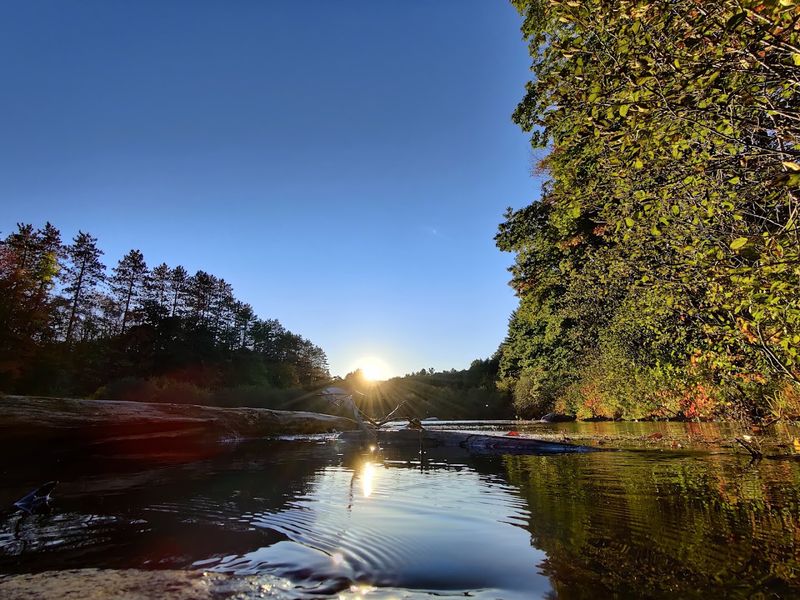
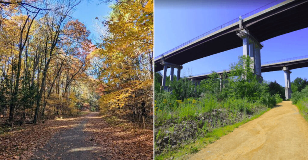
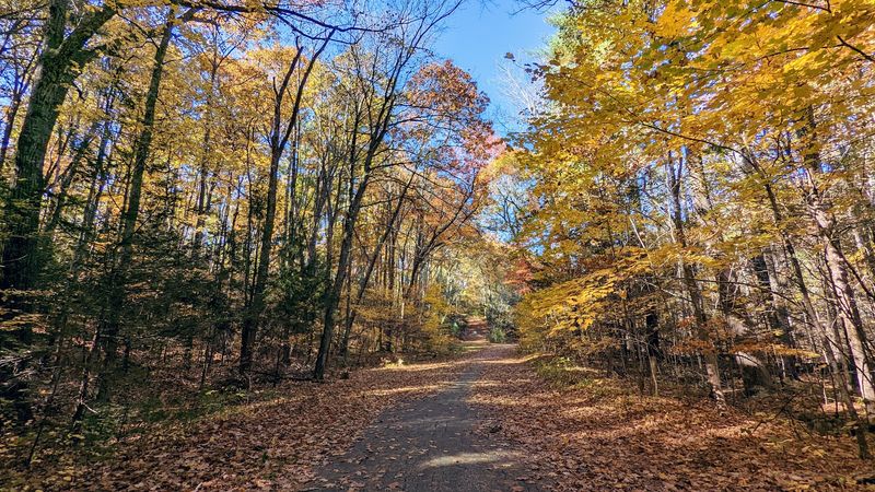
Autumn in central Massachusetts tends to be reliable when it comes to foliage, and the West Boylston section of the trail benefits from that in a big way. The tall trees on both sides of the path turn through a range of colors as October progresses, and the combination of the river, the bridges, and the leaf color makes the trail worth visiting specifically during that window.
Weekend mornings in October are popular but not overwhelming. The trail sees more foot traffic during peak fall color, but the width of the path keeps congestion from becoming a real issue.
Weekday visits in fall offer a quieter version of the same scenery.
The gravel surface handles fallen leaves reasonably well, though wet leaves can make the footing slightly less predictable near the bridges. Fall is also when the light through the forest canopy shifts noticeably, creating long stretches of dappled, low-angle brightness that photographers tend to seek out on this trail.
Winter and Year-Round Access
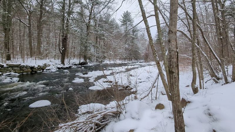
Families have been using this trail year-round for close to two decades in some cases, and the West Boylston section holds up well across seasons. Winter visits are quieter, and the bare trees open up sight lines that are not visible during the warmer months, including longer views toward the river and into the forest.
Snow and ice can affect the packed gravel surface in winter, and the trail is not plowed or maintained for cold-weather use in the same way a road would be. That said, the flat terrain on the West Boylston end makes it manageable for anyone with appropriate footwear.
Spring brings its own character to the trail, with the Quinapoxet running higher and faster from snowmelt and rain. The forest floor comes back to life quickly, and the trail tends to be less busy in early spring than in summer or fall, making it a good time to explore without dealing with weekend crowds at the parking lot.
Parking, Crowds, and Timing Your Visit
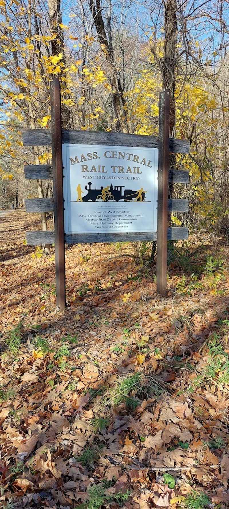
The parking lot at the Thomas Street trailhead is small relative to the trail’s popularity. On sunny Saturday and Sunday mornings, it fills up fast, and latecomers sometimes have to get creative about where they leave their cars.
Arriving before 9 a.m. on a weekend is a reliable way to secure a spot without stress.
Weekday mornings are significantly quieter. The trail draws a regular crowd of local joggers and walkers during the week, but the parking situation is rarely a problem outside of weekend peak hours.
If flexibility exists in the schedule, a weekday visit offers the most uncrowded version of the trail.
There are no garbage cans at the trailhead, which is worth knowing before heading out with snacks or a dog. Packing out everything brought in is the expected practice.
The trail does not have restroom facilities at the West Boylston access point, so planning ahead on that front is a practical necessity for longer outings.
Recent Improvements That Changed the Trail
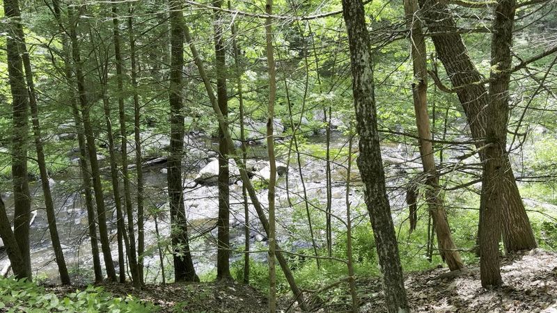
The state and the DCR have invested significantly in the Mass Central Rail Trail in recent years, and the West Boylston section reflects that investment clearly. The trail surface, the bridges, and the overall infrastructure received upgrades that improved both safety and accessibility.
The difference between the trail before and after the improvements is noticeable to anyone who has used it over the years.
The construction brought more attention to the trail, which in turn brought more users. The improved condition made the path more appealing to cyclists and families with strollers who might have found the older surface too rough or unpredictable.
That expansion of the trail’s user base has made it a more active and varied community space.
The improvements are part of a broader effort to complete more sections of the Mass Central Rail Trail across the state. The West Boylston segment now serves as a strong example of what a well-maintained rail trail conversion can look like when the funding and planning come together properly.
Running the Trail: What Runners Should Know
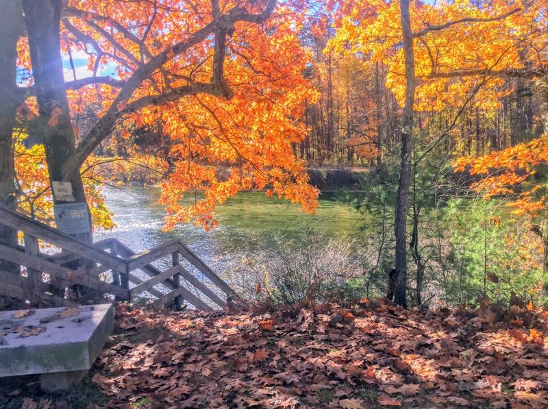
Runners have adopted this trail as a reliable training route, and it is easy to understand why. The flat terrain on the West Boylston end makes it suitable for easy runs, long slow distance efforts, and recovery jogs alike.
The packed gravel surface is firm enough to provide good footing without being as hard as pavement, which is easier on joints over longer efforts.
Round trips of one to twelve miles are possible depending on how far into Holden a runner wants to go. The West Boylston section stays relatively flat, while the Holden side introduces more elevation change for those who want a more challenging workout.
The trail is wide enough that runners and cyclists rarely have to interrupt their pace to navigate around each other. On busy weekend mornings, awareness of other trail users is important, especially on the bridges where the path narrows slightly.
Early morning runs on weekdays offer the most uninterrupted experience on this route.
Cycling the West Boylston Section
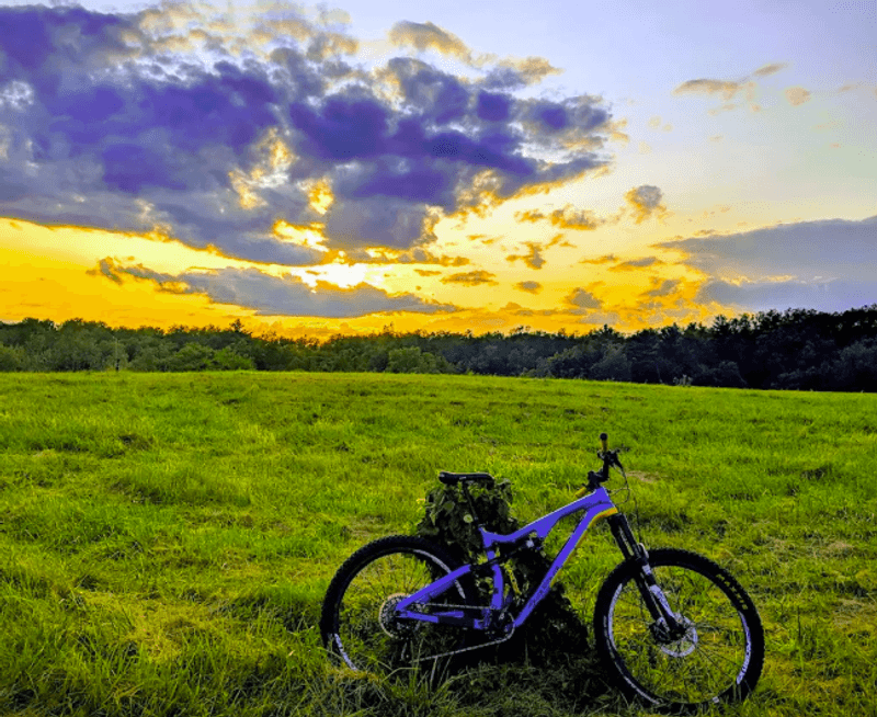
Bikes are a natural fit for this trail. The packed gravel and pea stone surface handles road bikes and hybrid bikes well, and the flat terrain on the West Boylston end means most riders can maintain a comfortable pace without much effort.
The path is wide enough to pass other cyclists and pedestrians without issue on most sections.
The two bridges over the Quinapoxet River are worth noting for cyclists. They are solid and well-maintained, but the crossing points do require a small reduction in speed, especially when other trail users are present.
Beyond the bridges, the trail opens back up and the riding is straightforward.
Extending the ride into Holden adds mileage and elevation, making it a better option for cyclists who want more of a workout. Families with kids on bikes tend to stay on the West Boylston end, where the flat surface and river views make for a low-pressure, enjoyable outing without needing to cover a lot of ground.
Why This Trail Keeps People Coming Back
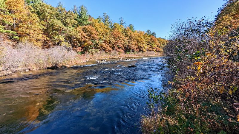
Some trails earn their loyal following through sheer novelty, and others earn it through consistency. The West Boylston section of the Mass Central Rail Trail falls into the second category.
The combination of flat terrain, a clear river running alongside the path, two forest bridges, and well-maintained gravel makes it the kind of place people return to without needing a special reason.
Families who discovered the trail years ago still bring their kids, who are now old enough to bring their own friends. Regular walkers and runners treat it as a dependable weekly fixture.
The trail does not demand anything dramatic from the people who use it, and that reliability is a big part of its appeal.
Rail trails in New England have a particular quality that paved paths rarely match, and this one captures that quality well. The history underneath the gravel, the river running beside it, and those two quiet bridges in the forest give the West Boylston section a character that holds up across every season and every kind of visit.
Where the Trail Begins: Address and Location
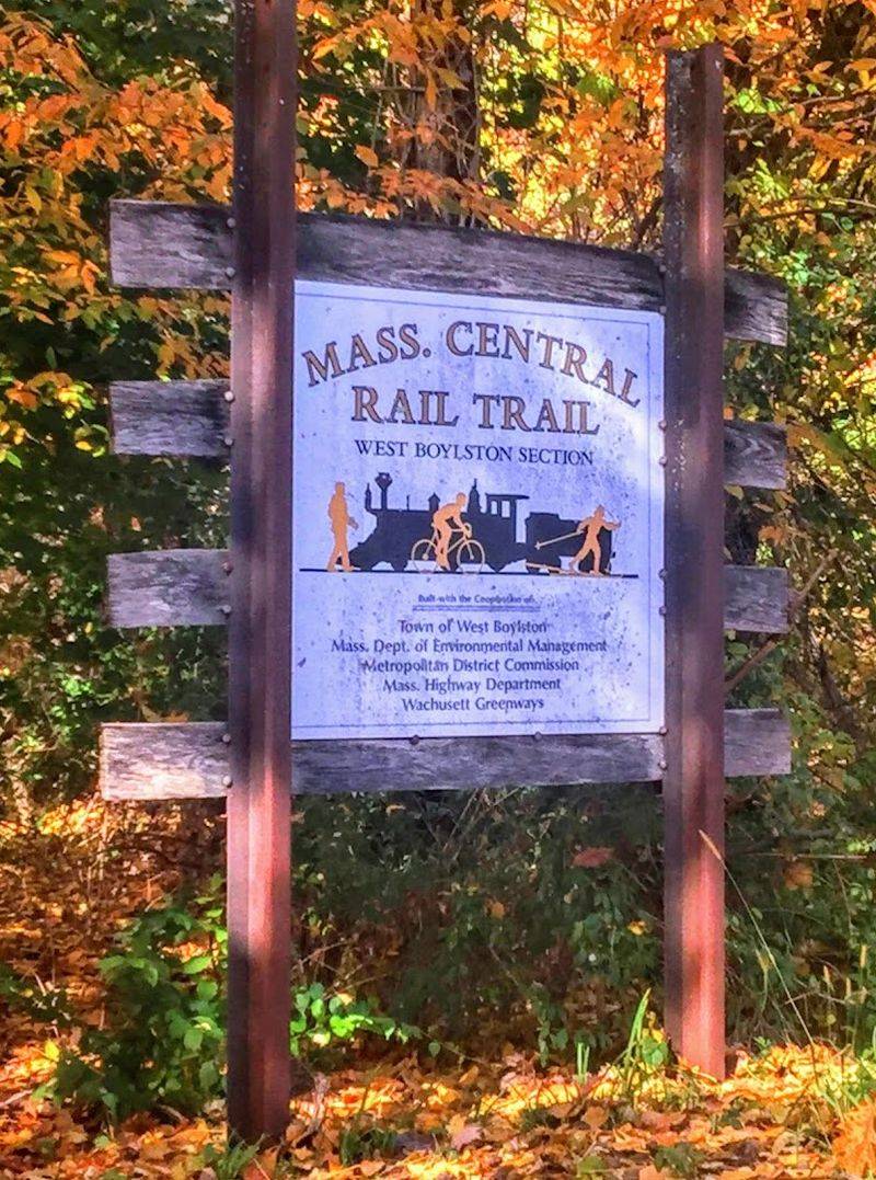
The West Boylston section of the Mass Central Rail Trail starts at 699 Thomas St, West Boylston, MA 01583, right off Route 12 in Worcester County, Massachusetts. The parking lot sits at the trailhead and fills up quickly on sunny weekends, so arriving early on a Saturday or Sunday is a smart move.
The trail itself is part of a much longer rail trail corridor that stretches across central Massachusetts. This particular segment is managed partly by the town of West Boylston, which owns the land on that end, while the Holden section is under DCR oversight to protect the watershed.
Getting there is straightforward from Route 190, and the trailhead is clearly marked. There are no fees to use the trail.
The address is easy to plug into a navigation app, and parking, though limited, is free for everyone who shows up.
Share this story