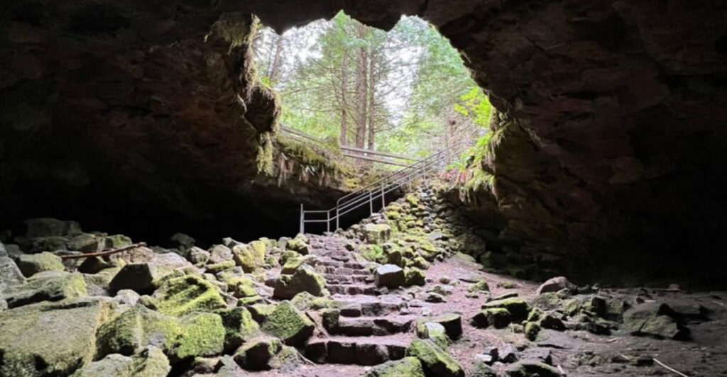
Deep beneath the forests of southwest Washington, there is a tunnel that has been sitting in the dark for thousands of years, completely untouched by sunlight. It was not carved by water or built by people.
A volcano made it. This place is one of the longest lava tubes in the continental United States, stretching nearly two miles underground near the base of Mount St. Helens.
The ground is jagged, the air is cold year-round, and the darkness is the kind that makes your eyes work for nothing. There are two routes to choose from, one relatively manageable and one that will have you climbing over boulders with both hands.
Whether you are an outdoor enthusiast or just someone who wants to try something genuinely different, this underground trail in Washington 98616 delivers an experience that is hard to find anywhere else.
The Volcanic History Behind This Underground Tunnel
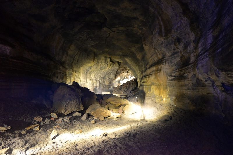
Ape Cave formed roughly 2,000 years ago during an eruption of Mount St. Helens. As lava flowed downhill, the outer edges cooled and hardened while the molten rock inside kept moving.
When the eruption ended, the liquid core drained out completely, leaving behind a long, hollow tube of solid basalt.
At approximately 13,042 feet in total length, Ape Cave ranks among the longest continuously accessible lava tubes in the contiguous United States. The cave was rediscovered in 1947 by a logger named Harry Reese, and it was later explored and mapped by a local outdoor club called the Mount St. Helens Apes, which is where the cave gets its name.
The name has nothing to do with primates. The club was named after a legendary Pacific Northwest creature, and the cave inherited the title.
That backstory alone makes the place feel a little more layered than your average hiking spot.
What the Temperature Inside Actually Feels Like
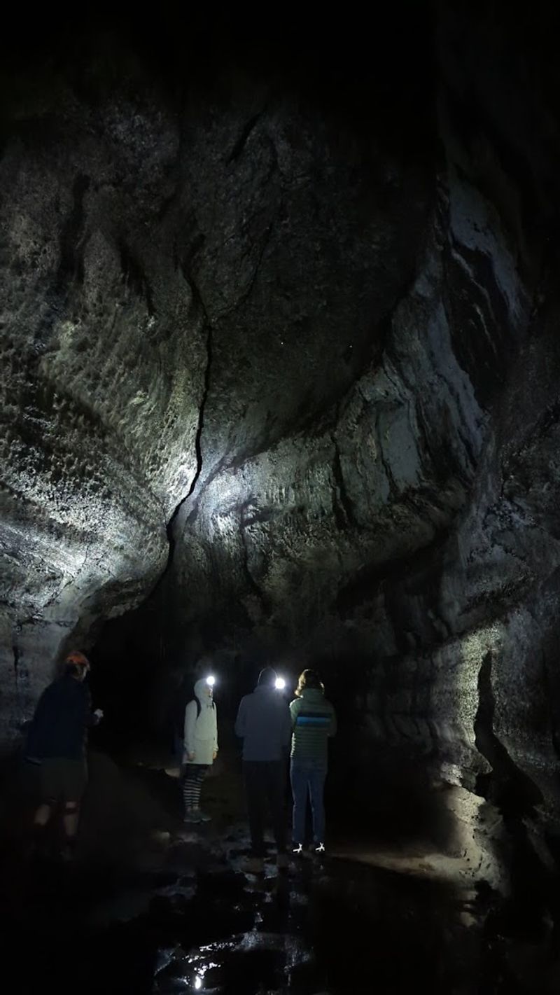
The cave maintains a year-round temperature of approximately 42 degrees Fahrenheit, regardless of what the weather is doing above ground. That means even on a hot August afternoon, the air inside the tube is cold enough to make a light jacket feel necessary and a heavy one feel smart.
The chill sets in almost immediately after descending the stairs at the main entrance. Many people underestimate just how quickly the cold becomes noticeable, especially after the physical activity of climbing over uneven rock warms them up briefly and then stops.
Layering is the practical solution here. A moisture-wicking base layer topped with a fleece or insulated jacket works well for most people.
Gloves are especially useful in the upper cave, where hands do a lot of the work during boulder scrambles. Wearing shorts and a t-shirt, as some unprepared visitors do, turns what should be a highlight into something considerably less enjoyable.
The Lower Cave Route: Short, Dark, and Surprisingly Rewarding
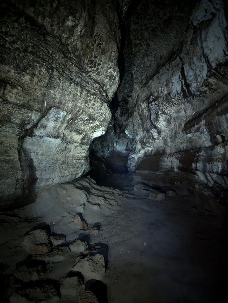
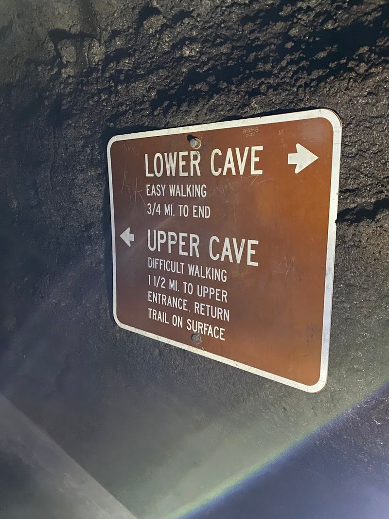
The lower cave is the shorter of the two routes, running about three-quarters of a mile one way before the passage ends. Hikers walk in, explore the tube, and return the same way they came.
The round trip comes in at roughly 1.5 miles and takes most groups between one and two hours, depending on how often they stop.
The floor is uneven throughout, with rough lava rock that demands attention with every step. That said, there are no major obstacles to climb over, and the ceiling stays high enough that most adults do not need to duck.
The route works well for families with children who are comfortable on uneven terrain.
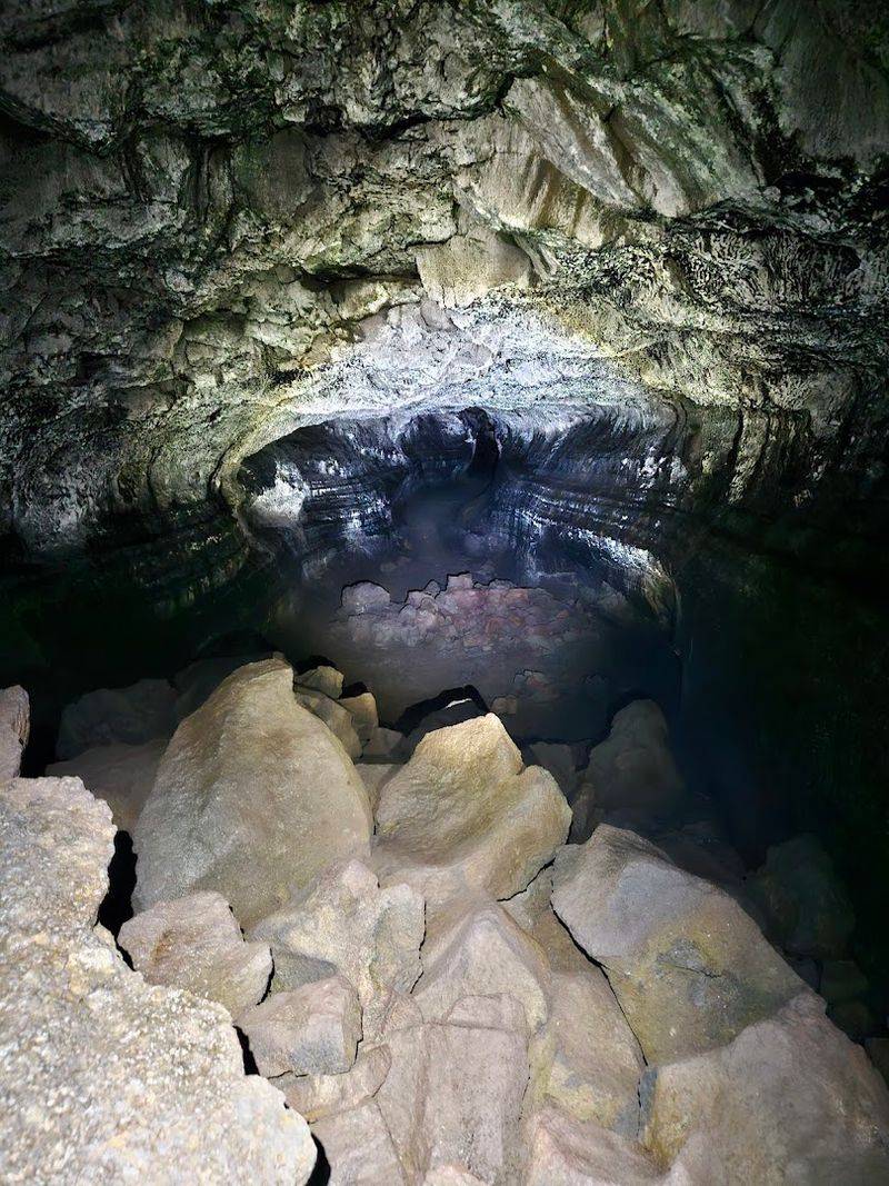
What makes the lower cave worth the trip is the quality of the lava formations visible along the walls and ceiling. Ripple marks, lava benches, and ancient flow lines tell the story of how the rock moved and cooled over two millennia ago.
The darkness is complete, and the quiet is something that is hard to find anywhere else.
The Upper Cave Route: A Genuine Physical Challenge
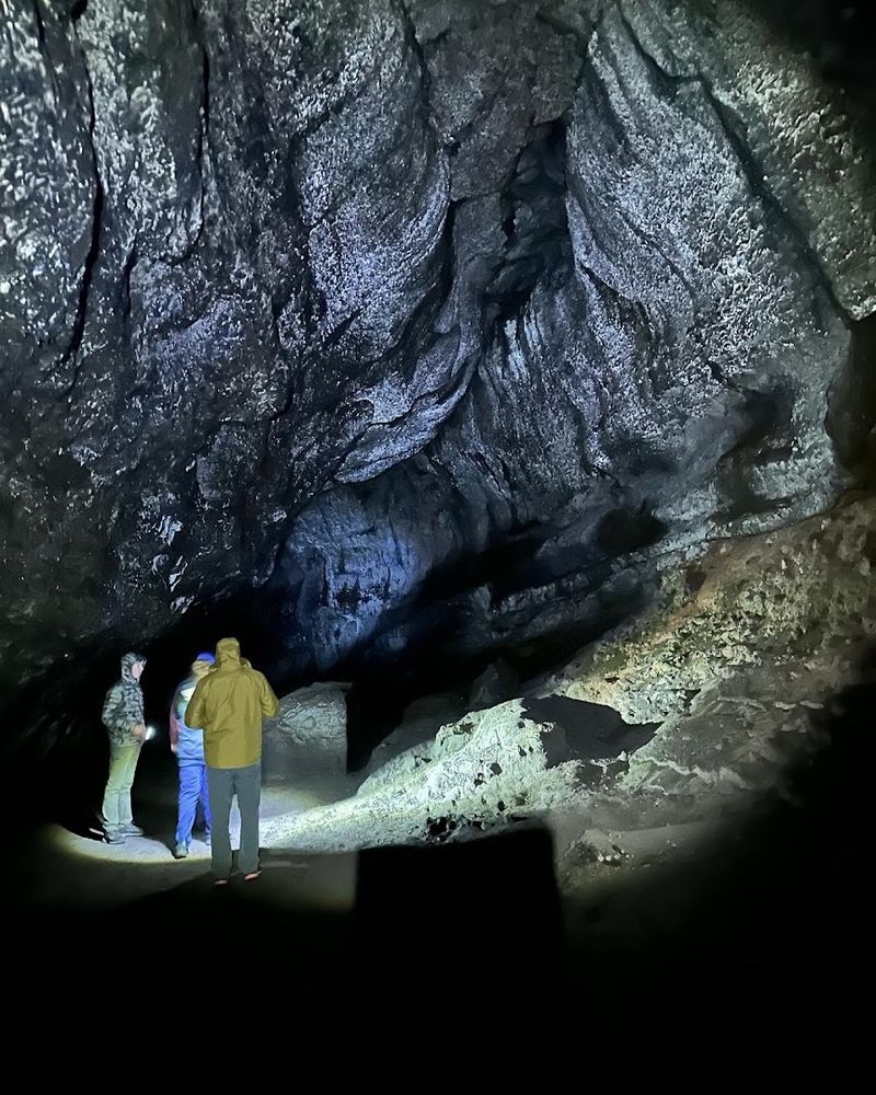
The upper cave is a fundamentally different experience from the lower route. At roughly 1.5 miles from the main entrance to the upper exit, it involves continuous scrambling over collapsed rock piles, narrow passages, and uneven terrain that requires both hands at multiple points.
Gloves are not optional here.
One of the most talked-about obstacles is an eight-foot lava wall that hikers must climb to continue. There is no ladder permanently installed, though some visitors have noted a rope in the area.
Agility and upper body strength make this section manageable, but it can be genuinely difficult for those who are not physically prepared.
After exiting the upper cave, hikers follow an above-ground trail of about 1.5 miles back to the parking area. That trail passes through recovering volcanic landscape and offers views of the surrounding forest.
The full upper cave experience, from descent to parking lot return, takes most active adults between two and three hours.
Lighting Inside the Cave: Why Your Phone Will Not Cut It
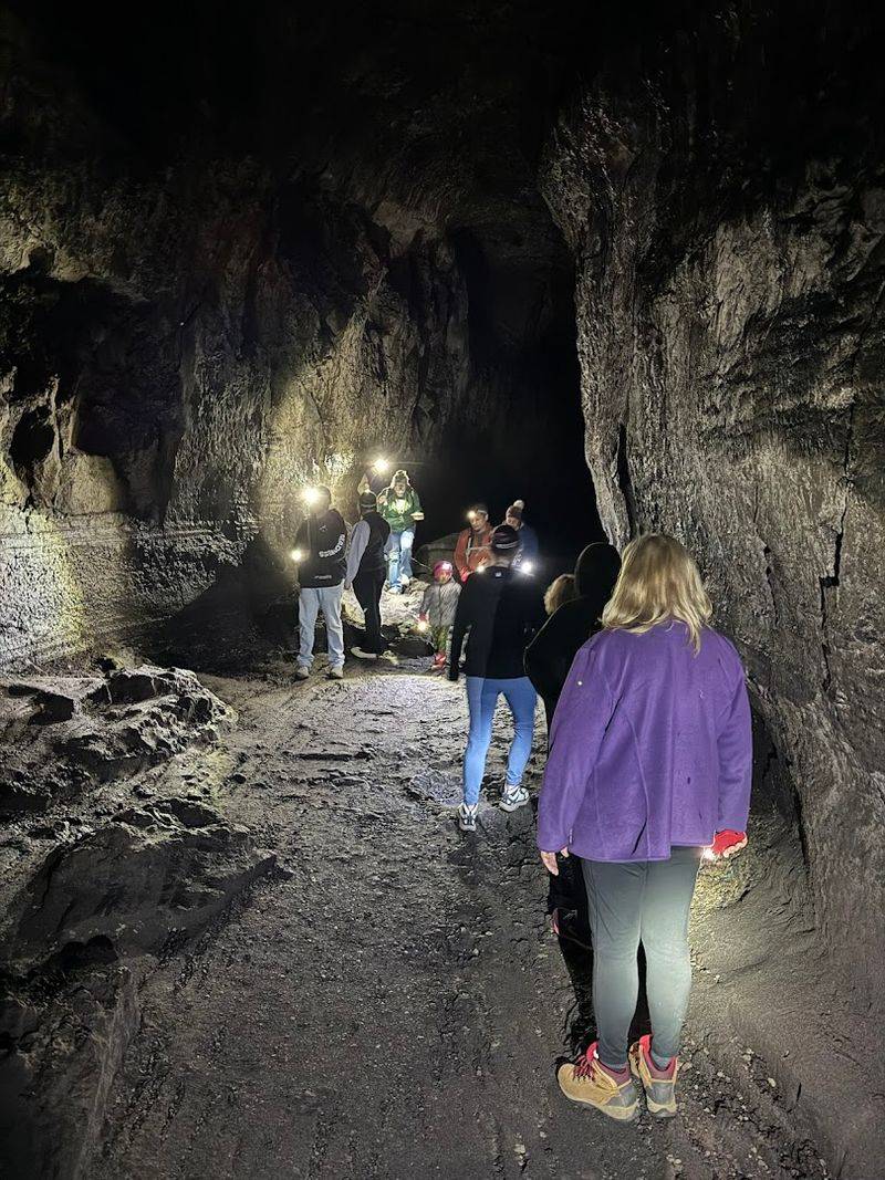
The darkness inside Ape Cave is total. There is no ambient light, no glow from exits, and no windows.
Once the entrance disappears behind a bend in the tunnel, the only light available is what hikers bring with them.
Phone flashlights consistently fail to provide enough coverage in this environment. The beam is too narrow and the brightness too limited to safely navigate jagged, unpredictable terrain.
The National Forest recommends at least two reliable light sources per person, and that recommendation comes from real experience with what happens when batteries die mid-route.
Headlamps are the preferred option because they keep both hands free, which becomes critical in the upper cave. Lanterns are available for rent at the visitor area for around ten dollars for two, and that rental has saved many trips that would otherwise have turned difficult.
Bringing fresh batteries or fully charged units before entering is one of the most practical things any visitor can do.
Footwear and Gear That Actually Matters Here
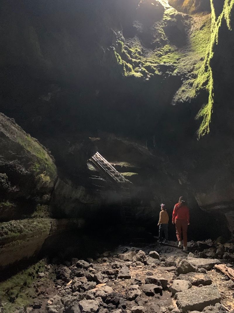
The floor of Ape Cave is not a smooth path. It is a continuous stretch of rough, broken basalt that shifts and angles in unexpected directions.
Flat-soled shoes, sandals, and flip-flops create real problems here, and more than a few people have cut trips short because of poor footwear choices.
Sturdy hiking boots with ankle support and grippy soles are the most reliable option. Trail runners with good traction also work well.
The key is a sole that can handle uneven, abrasive rock without slipping, and ankle support that holds up when a step lands at an awkward angle.
Beyond footwear, gloves make a significant difference in the upper cave where hands contact sharp rock repeatedly. A small daypack with water, a snack, and an extra layer rounds out what most people need.
The cave is not a long expedition, but being underprepared in an enclosed underground environment makes the experience harder than it needs to be.
Making a Reservation Before You Go
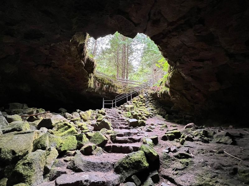
Ape Cave requires a timed entry reservation, and booking in advance is essential. The online reservation costs two dollars and locks in a specific entry window.
Signs at the site regularly confirm that same-day tickets are sold out, particularly on summer weekends when the parking area fills before mid-morning.
The reservation system helps keep crowds manageable underground, which matters in an enclosed space where passing other groups on narrow sections can slow everyone down. Booking a few weeks ahead during peak season is a reliable strategy, while shoulder seasons like fall tend to have more availability.
Fall is actually a particularly good time to visit. Crowds thin out noticeably, parking competition drops, and the forest above the cave takes on color that makes the above-ground return trail from the upper cave more visually interesting.
The cave temperature does not change with the season, so the preparation required stays the same no matter when the visit happens.
What the Lava Rock Formations Look Like Up Close
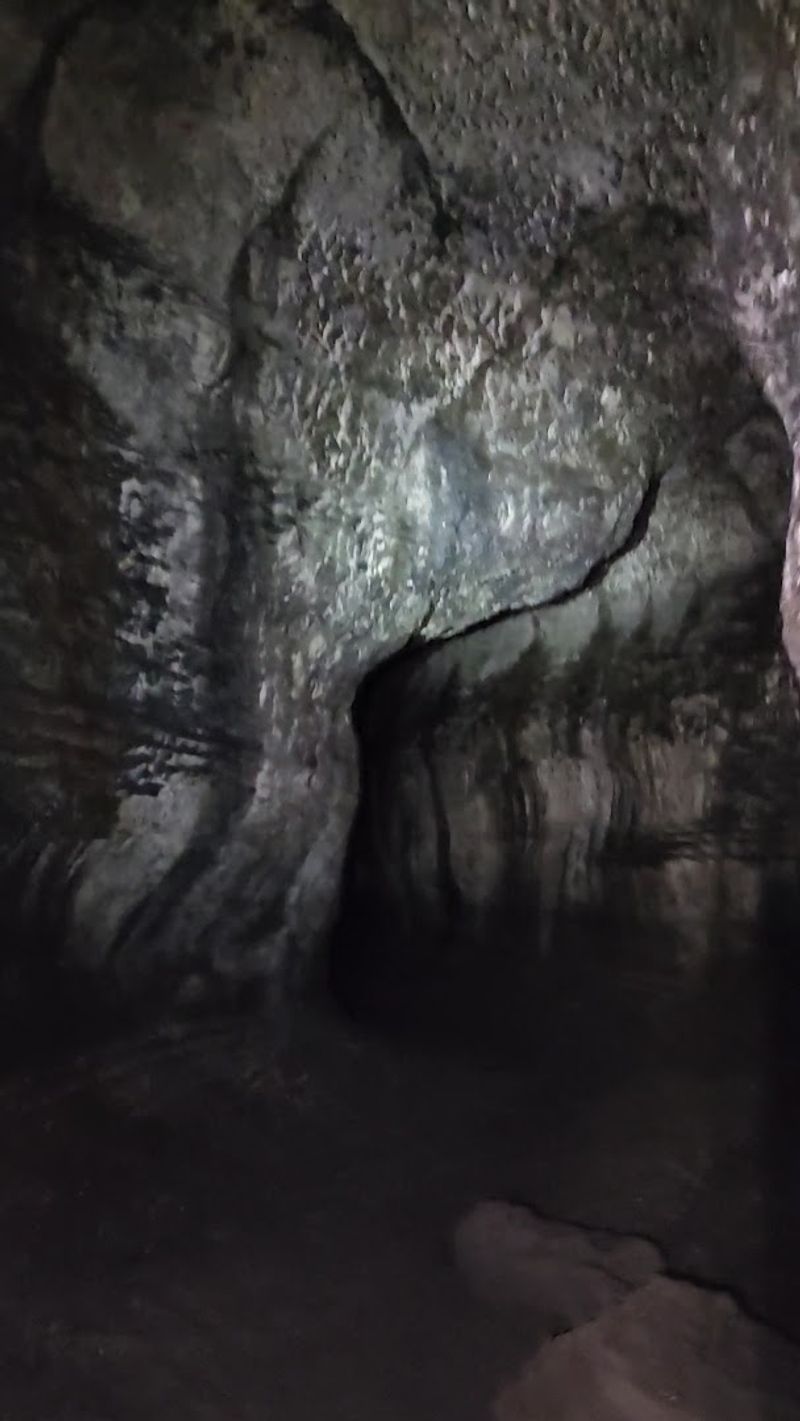
The walls and ceiling of Ape Cave preserve a detailed record of how lava behaves as it moves and cools. Horizontal lines called lava benches mark the levels where molten rock once pooled before draining further down the tube.
Ripple patterns in the floor show the direction and speed of ancient flow.
In certain sections, the ceiling displays smooth, curved surfaces where the outer lava shell hardened quickly around the still-moving interior. These features are not polished or labeled, but the cave brochure available at the site helps hikers identify what they are looking at as they move through.
The formations in the lower cave are generally more accessible and easier to examine without distraction, since the terrain is less demanding. In the upper cave, the geological features compete for attention with the physical challenge of navigating the route.
Both sections offer something worth stopping to study, and that is part of what makes the cave genuinely educational rather than just physically engaging.
Bringing Kids to Ape Cave: What Works and What Does Not
The lower cave works well for children who are comfortable on uneven ground and not bothered by tight, dark spaces. The route does not require climbing, and the physical demands stay manageable for kids who have some hiking experience.
Children who enjoy exploring and can follow basic safety instructions tend to do well here.
The upper cave is a different matter. The boulder scrambles, the eight-foot wall, and the extended time underground make it genuinely challenging for younger children.
Active kids aged eight and older who enjoy climbing structures and physical challenges have completed the upper route successfully, but it requires honest assessment of each child’s fitness and temperament before committing.
The darkness is a factor for all ages. Children who are not comfortable in complete blackness may find the cave overwhelming, regardless of how many lights the group carries.
Doing a short test in a dark room at home before the trip is not a bad way to gauge readiness before arriving at the trailhead.
The Above-Ground Trail Back From the Upper Exit
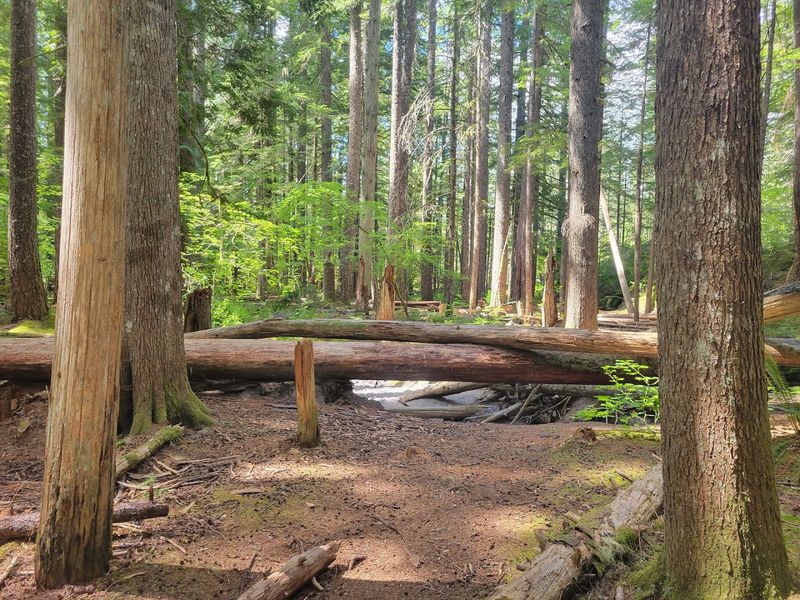
After exiting the upper cave, hikers do not return underground. Instead, a 1.5-mile above-ground trail leads back to the main parking area.
The path moves through secondary forest growing over volcanic terrain, with visible lava rock outcroppings along the way that connect visually to what was just explored underground.
The trail is rated moderate and involves some elevation change, but it feels considerably easier after the scrambling inside the upper cave. The contrast between the enclosed darkness of the tube and the open forest above is part of what makes the upper route feel like a complete experience rather than just a hike.
On warm days, the return trail can feel hot compared to the cave, especially after two or more hours in 42-degree air. Bringing water for this section is worth planning for.
The trail is well-marked and easy to follow, and it ends at the same parking area where the visit began, making logistics straightforward for most groups.
Why This Lava Tube Stays on People’s Must-Do Lists
Ape Cave earns its reputation not because it is easy or comfortable, but because it is genuinely unlike most things available to the average hiker in the Pacific Northwest. Two miles of volcanic tunnel, formed by an eruption two thousand years ago, accessible with a two-dollar reservation and a headlamp, sits within a few hours of two major cities.
The combination of geological history, physical challenge, and complete sensory contrast from everyday life is what keeps the cave on recommended lists year after year. The lower route offers that experience in a format accessible to most people.
The upper route pushes it into territory that feels more like an expedition than a day hike.
Ape Cave rewards preparation and punishes carelessness, which is part of what makes it feel worthwhile. Arriving with the right gear, a reserved entry time, and realistic expectations about the difficulty turns a cold, dark tunnel under a Washington forest into one of the more memorable outdoor experiences the state has to offer.
Where Exactly Ape Cave Sits and How to Find It
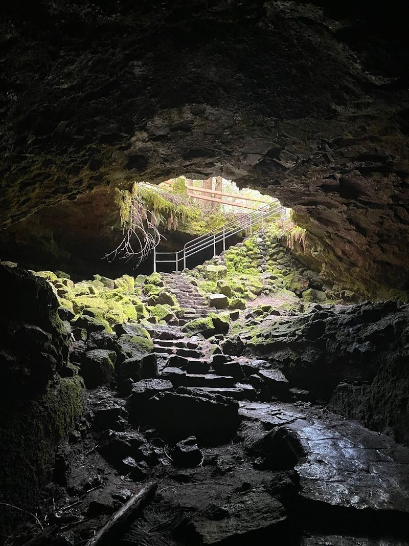
The entrance to Ape Cave is located along Forest Road 8303 in the Gifford Pinchot National Forest, Washington 98616, within the Mount St. Helens National Volcanic Monument. The site sits at roughly 2,000 feet in elevation, surrounded by dense Pacific Northwest forest that shows little sign of what lies beneath.
Getting there requires driving along winding forest roads, and the nearest major town is Cougar, Washington, which is about five miles to the south. From Portland, Oregon, the drive takes roughly two hours.
From Seattle, plan on about three hours.
A timed entry reservation is required to visit, and it costs just two dollars to book online in advance. Walk-in tickets are rarely available, and signs at the site confirm that same-day entry is frequently sold out.
Parking costs five dollars and fills up fast on weekends. Arriving early on a weekday gives the best chance at a calm, uncrowded experience underground.
Share this story