Mountains feel timeless, yet many American peaks are still inching upward every year. GPS stations, fault maps, and satellite data reveal subtle vertical motion you would never notice on a weekend hike. From California fault blocks to Adirondack buoyancy, uplift battles erosion in a slow dance of geology. Let’s explore where the land is quietly gaining height and why it matters for the trails you love.
1. Sierra Nevada (California and Nevada)
You stand on the Sierra crest and nothing seems to move, but instruments say otherwise. Modern GPS shows the western slope rising roughly a millimeter a year, with faster motion near the eastern faulted margin. Basin and Range stretching and mantle upwelling help buoy the block, even as rivers and glaciers gnaw it down.
That tug of war means net change is tiny on your timescale, yet meaningful over millennia. Trail signs will not need yearly updates, but maps and benchmarks gradually adjust. The result is a living mountain chain, growing slow, shedding faster, still sculpted by earthquakes, uplift pulses, and relentless weather.
2. Rocky Mountains (Colorado, Wyoming, and beyond)
When you hike a Rocky Mountain ridge, you feel the range’s youth in its jagged skyline. Tectonic stresses and isostatic adjustments still ripple through parts of the Rockies, driving slow vertical motion. Rates vary by subrange, and many areas are comparatively stable, yet the crust continues to settle, flex, and occasionally rise.
Recent geodetic measurements refine elevations, sometimes nudging peaks higher and sometimes lower. That does not mean the Rockies stopped growing, only that uplift and erosion compete constantly. Over deep time, tectonics wins the long game, even if trail registries barely notice. You are walking a work in progress.
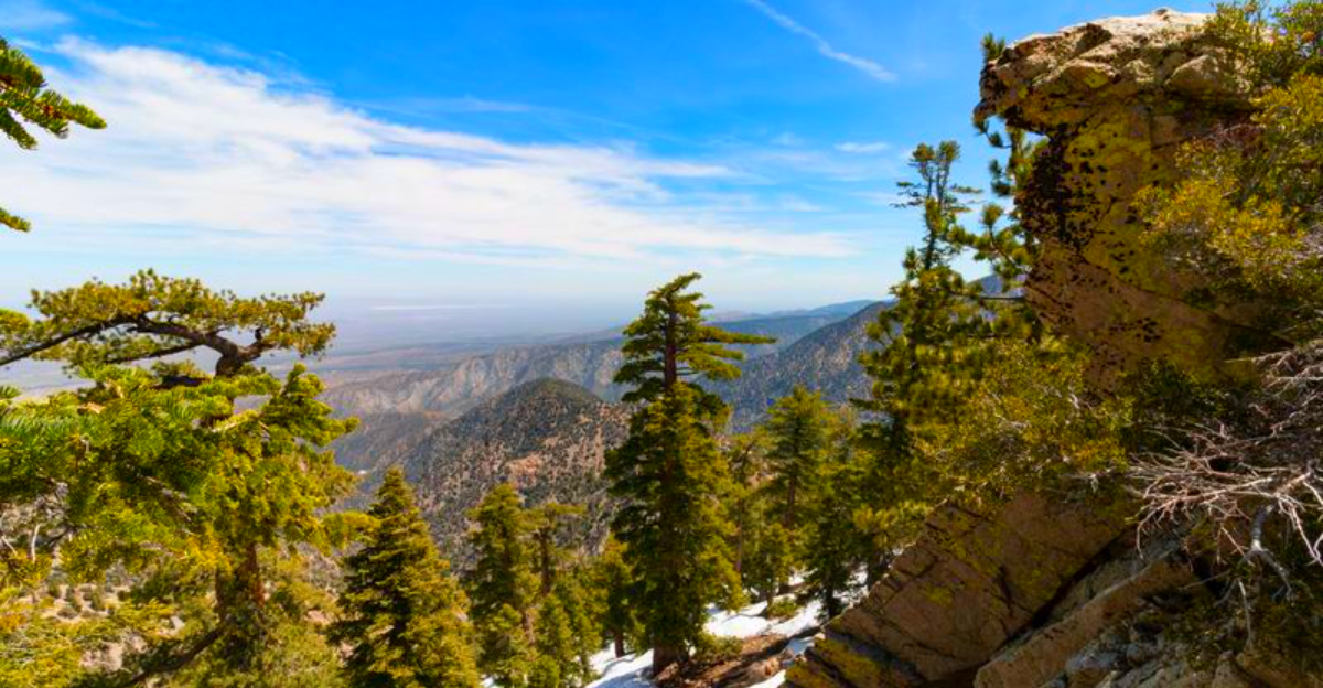
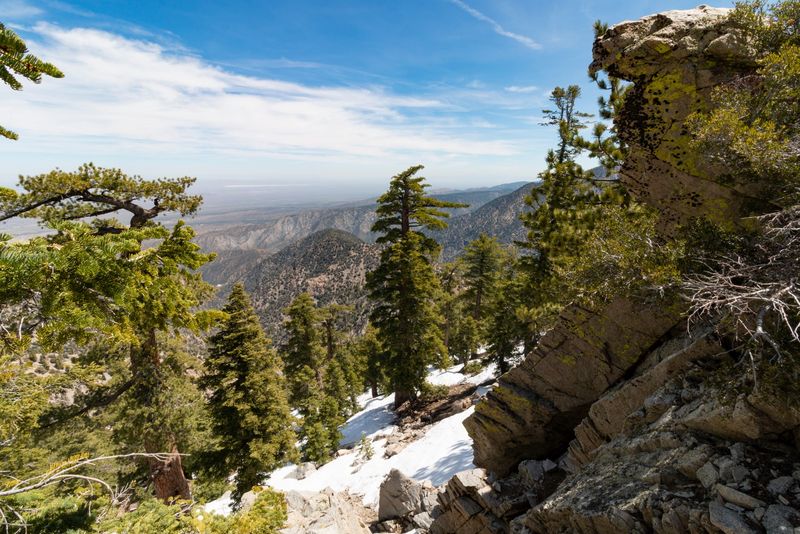
3. San Bernardino Mountains (Southern California, Transverse Ranges)
East of Cajon Pass, the San Bernardinos rise steeply where crustal blocks collide and shuffle. They share the Transverse Ranges’ compressional regime, with active faults shoving rock upward while storms plane it down. Glacial relics, young terraces, and fractured granites hint at continued uplift through the late Quaternary.
On the ground, you notice tilted meadows, offset streams, and fresh scarps after big rains. The net result is slow, uneven growth that feels subtle year to year but undeniable across geologic time. Trails migrate, slopes slump, and maps get revised. You are hiking a landscape mid-sentence, not a finished chapter.
4. Adirondack Mountains (New York)
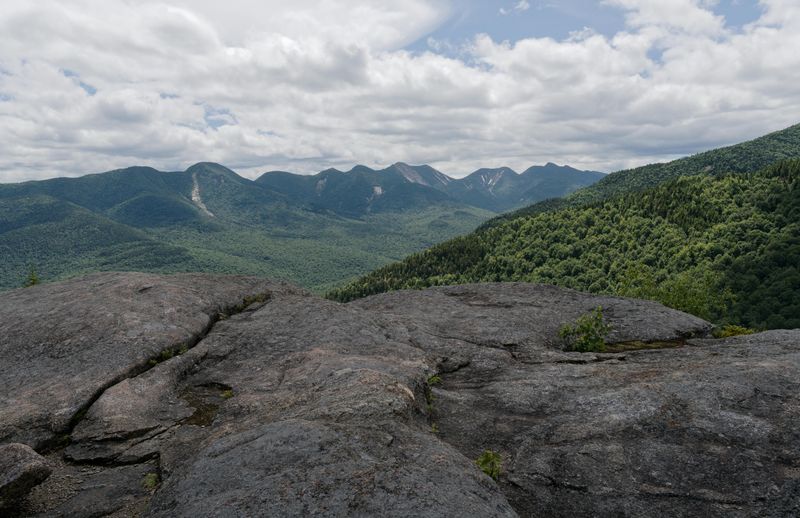
The Adirondacks are not a typical Appalachian fold belt. They are a domal uplift, likely buoyed by mantle upwelling beneath ancient crust. Several studies suggest rise on the order of two millimeters per year, outpacing erosion in places and nudging summits slightly higher.
You cannot see that in a single season, but benchmarks and long records capture the trend. Trails around High Peaks cross hard anorthosite that resists weathering, preserving relief even as valleys deepen. Think of the range as a slow breath of the Earth. With patience, the dome keeps lifting, one almost invisible millimeter at a time.
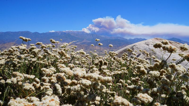
5. San Gabriel Mountains (Southern California, Transverse Ranges)
Peer north from the Los Angeles Basin and the San Gabriels tower abruptly, proof of active tectonics. The Pasadena orogeny reflects ongoing fault block uplift along a complex plate boundary. Compression rotates crustal blocks, squeezes sedimentary beds, and lifts peaks even as storms scour canyons.
Earthquakes and landslides quickly reshape slopes, so net height change is uneven. Some summits may gain while nearby ridgelines lose to erosion. Still, the system breathes upward, millimeter by millimeter, decade by decade. Hike a fire road after winter storms and you will see fresh debris, a reminder that uplift here never truly rests.


