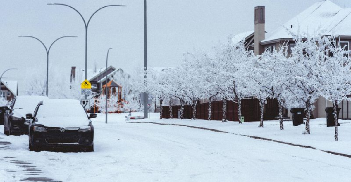
Winter is flexing late-season muscle, and you can feel it from coast to coast. If you are anywhere near the mountains or the Southern Plains, now is the time to pay attention and plan ahead.
From blizzard-like snow and 55 mph winds to flash flooding threats, this system is no ordinary blip on the radar. Here is what to know so you can stay safe and keep your plans on track.

Large portions of California are under winter storm warnings and watches, with forecasters indicating the Sierra Nevada could see one of the most disruptive storms of the year. Hazardous travel conditions, intermittent whiteouts, and rapidly changing visibility are expected across higher elevations.
Meteorologists say the storm is expected to deliver extreme snowfall totals in the mountains, with snow rates potentially outpacing plowing operations during the peak of the event.
Some projections referenced in reports indicate mountain passes could receive as much as 8 feet of snow during the storm window. Forecasters estimate totals of 4 to 8 feet at higher elevations, particularly along major Sierra routes – amounts that can shut down highways, create whiteout conditions, and raise avalanche concerns.
Snow is not the only factor. The system is also expected to bring wind gusts up to 55 mph, creating blizzard-like conditions in exposed areas and increasing the risk of downed trees and power outages.
California transportation officials have warned drivers to take the storm seriously. Action News Now reported that Caltrans issued alerts about travel impacts across the Sierra Nevada beginning around Presidents Day.
A winter storm watch remains active from Feb. 15 through Feb. 18, with forecasters noting that while exact totals may still shift, confidence remains high in a major storm.
While the West faces heavy snow, parts of the central and southern U.S. are dealing with a different hazard. The National Weather Service says the same storm system could bring widespread heavy rainfall and flash flooding risks.
The NWS has outlined a slight risk (Level 2 of 4) for excessive rainfall across portions of the ArkLaTex region and the Mid-South, signaling a meaningful chance of flooding impacts. A marginal risk (Level 1 of 4) is also expected across much of the Southeast as the system pushes east.
In a separate alert, the NWS also warned that another round of heavy rain, thunderstorms, and flooding threats could affect the Southern Plains Friday, the Lower Mississippi Valley Saturday, and areas into the Mid-Atlantic Sunday.
NOAA notes that February typically brings dramatic weather swings as meteorological winter begins to wind down, with fast shifts between snow, rain, and thunderstorms considered normal for this time of year.
According to NOAA, February is the third coldest month of the year on average, behind December and January – meaning winter conditions can still deliver major storms even as spring approaches.


