
Natural disasters threaten millions of Americans every single year, but some cities face far more danger than others. From hurricane-battered coastlines to earthquake zones and tornado alleys, certain metros stand in the crosshairs of nature’s most violent forces. Understanding which cities carry the highest risk and why can help families, communities, and leaders prepare smarter and build safer futures.
1. Miami, Florida
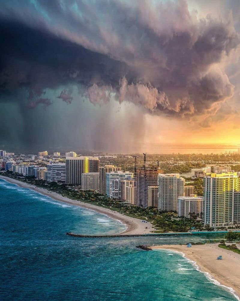
Miami sits directly in the path of Atlantic hurricanes, earning its reputation as the nation’s most exposed major city. Wind speeds during storms can snap power lines, rip roofs clean off homes, and turn everyday objects into dangerous projectiles.
Storm surge poses an even bigger threat here. When ocean water piles up against the low-lying coast, entire neighborhoods can vanish underwater within hours. CoreLogic’s 2024 Hurricane Risk Report confirms thousands of homes sit in harm’s way, while NOAA maps reveal just how far inland floodwaters could reach during a major strike.
2. New York City, New York

Most people think hurricanes only threaten the South, but New York City actually leads the country in total homes exposed to hurricane winds and surge. Superstorm Sandy in 2012 proved the metro’s vulnerability when seawater flooded subway tunnels and knocked out power for millions.
FEMA’s National Risk Index flags the broader region for multi-hazard danger. Dense population and aging infrastructure make evacuations complicated. Coastal neighborhoods in Brooklyn, Queens, and Staten Island remain especially at risk whenever a tropical system curves northward along the Eastern Seaboard.
3. New Orleans, Louisiana
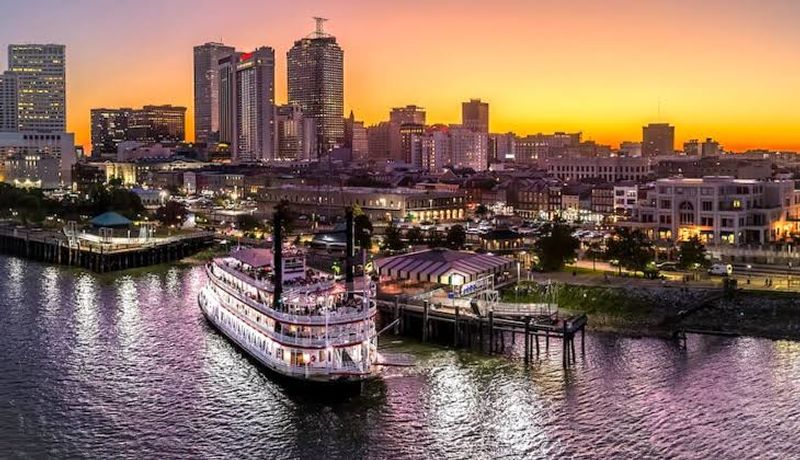
Sitting below sea level between a massive lake and the Gulf of Mexico, New Orleans faces constant flood danger. Hurricane Katrina’s catastrophic 2005 strike killed over 1,800 people and left much of the city underwater for weeks, reshaping how America thinks about storm preparation.
Today, the Army Corps of Engineers maintains a complex Hurricane and Storm Damage Risk Reduction System of levees, floodgates, and pumps. NOAA maps still show deep surge potential across the metro. Residents must stay vigilant every hurricane season because geography alone keeps risk extremely high.
4. Houston, Texas
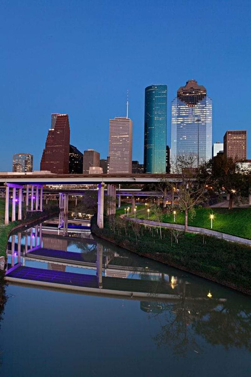
Hurricane winds aren’t Houston’s only worry. Flooding has become the city’s signature disaster, with Harvey in 2017 dumping more than 60 inches of rain in some spots and causing tens of billions in damage.
Hundreds of thousands of homes in Harris County alone sit in flood-prone zones, and sprawling development has paved over wetlands that once absorbed rainfall. CoreLogic and FEMA both rank the metro near the top for multi-hazard exposure. Residents face a double threat every storm season: destructive winds off the Gulf and torrential rains that turn streets into rivers.
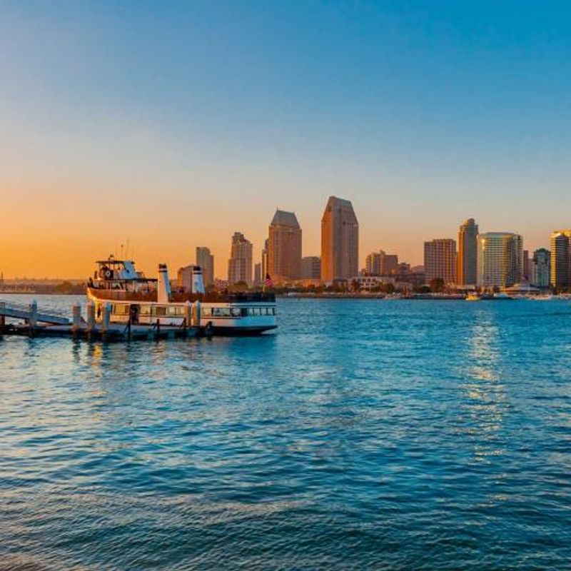
5. Tampa–St. Petersburg, Florida
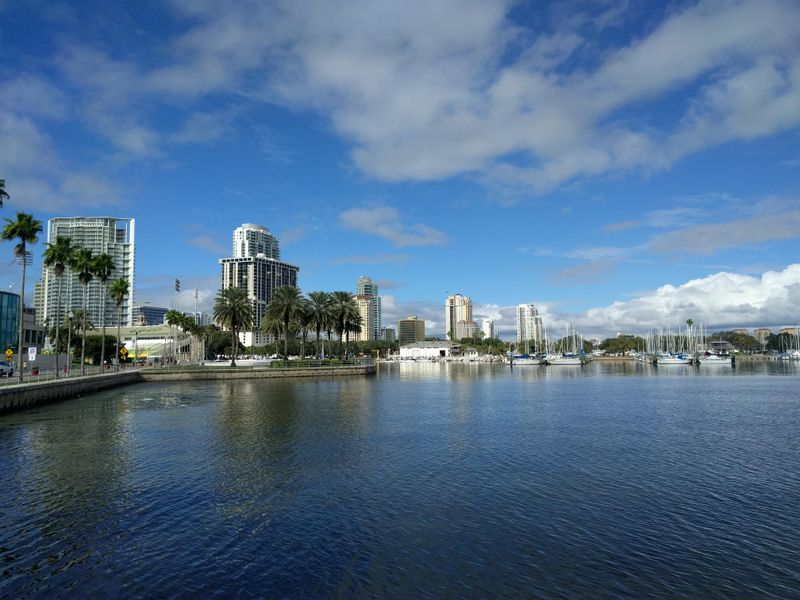
Tampa Bay’s unique geography creates a nightmare scenario for storm surge. The shallow, enclosed bay acts like a funnel, allowing hurricane-driven water to pile up to deadly heights with nowhere to escape.
Experts have long warned that a direct hit could produce one of the worst natural disasters in U.S. history. Hundreds of thousands live along the bay’s edge, many in neighborhoods built decades ago before modern building codes. Scientists and emergency managers consistently rank Tampa near the top of national surge-exposure lists, urging residents to know their evacuation zones.
6. Cape Coral–Fort Myers, Florida
Few metros pack as many homes into a surge zone as Cape Coral and Fort Myers. Hurricane Ian’s 2022 strike delivered a brutal reminder, flooding thousands of properties and causing some of the costliest insured losses ever recorded in Florida.
Canal-lined neighborhoods and waterfront developments stretch for miles, each one vulnerable when storm-driven seas push inland. Rebuilding after a major hit carries enormous expense. CoreLogic data highlights the region’s concentration of at-risk homes, making it a focal point for insurers, builders, and families weighing the trade-offs of coastal living.
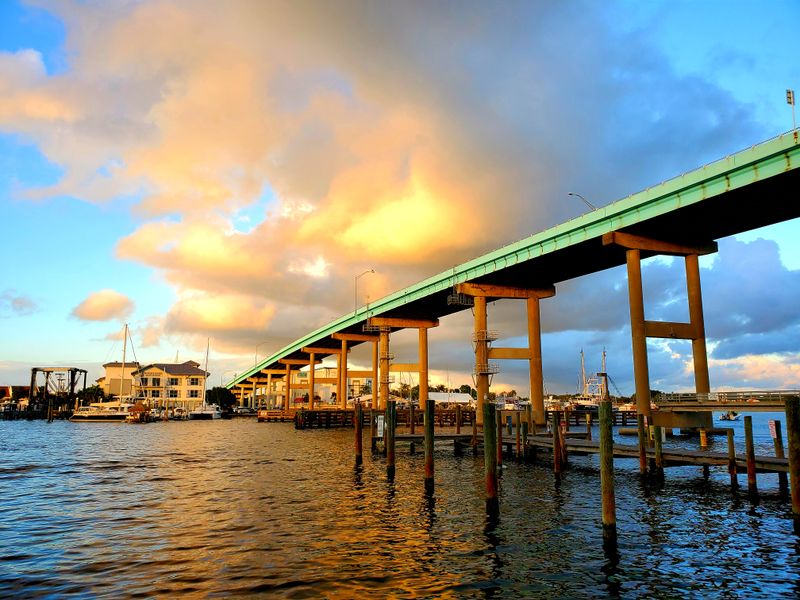
7. Jacksonville, Florida
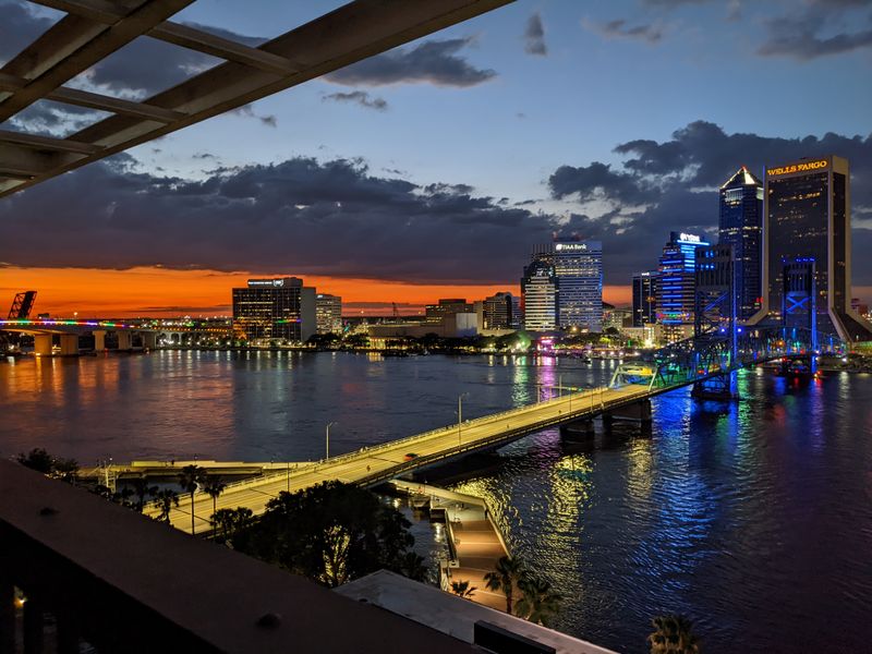
Jacksonville’s massive coastal footprint spreads risk across dozens of riverine and beachfront neighborhoods. The St. Johns River winds deep into the city, giving storm surge multiple pathways to flood inland areas far from the ocean.
Wind exposure is significant too, especially for communities along the Atlantic beaches. A direct hurricane strike could damage homes miles from the coast as surge pushes up the river and winds tear through older construction. Residents across the metro need tailored evacuation plans because danger varies widely depending on which part of town you call home.
8. Charleston, South Carolina

Charleston’s charm comes with a price: the historic city sits barely above sea level, making it prone to nuisance flooding even on sunny days during high tide. Add a hurricane, and the danger multiplies fast.
Rapid population growth has pushed development into vulnerable zones, and scientists warn that rising seas will make flooding worse in coming decades. State and city tools stress knowing your evacuation zone, because surge can arrive quickly once a storm nears. Charleston’s beauty and history draw people in, but smart residents respect the water and plan ahead every hurricane season.
9. Virginia Beach–Norfolk, Virginia
Tidewater Virginia’s flat topography and dense coastal development create serious storm-surge exposure. Norfolk hosts the world’s largest naval base, and Virginia Beach draws millions of tourists, but both cities sit squarely in the path of occasional hurricanes and nor’easters.
CoreLogic analyses and NOAA maps confirm thousands of homes face flood risk when storms push Chesapeake Bay and Atlantic waters inland. Evacuation can be tricky because bridges and tunnels create bottlenecks. Military families, retirees, and vacationers all share the same vulnerability whenever a tropical system tracks up the coast.
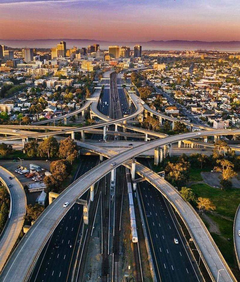
10. Los Angeles, California

Los Angeles faces a rare double disaster threat. The U.S. Geological Survey calls Southern California the nation’s highest earthquake-loss region, with dozens of active faults crisscrossing the metro.
Wildfires have surged into the urban spotlight too. The 2025 Palisades and Eaton fires produced record insured losses, proving that flames can race through wealthy hillside neighborhoods as easily as remote forests. Millions live in zones where the ground could shake violently or fire could sweep downhill with little warning, making preparedness essential for every household.
11. San Francisco–Oakland Bay Area, California
Seismologists give the Bay Area a very high chance of experiencing a damaging magnitude 6.7 or larger earthquake within the next 30 years. The Hayward, San Andreas, and other major faults slice directly beneath millions of residents.
When the next big quake hits, older buildings, bridges, and highways could fail, trapping people and cutting off entire neighborhoods. USGS national seismic hazard models place the region at the top of the country’s earthquake zones. Emergency kits, retrofit construction, and family communication plans can save lives when the shaking starts.
12. San Diego, California
San Diego sits on the southern end of California’s active earthquake belt, where dozens of faults could produce damaging shakes. But fire poses an equally serious threat, especially in the county’s extensive wildland-urban interface canyons.
Santa Ana winds can fan small brush fires into infernos that race through neighborhoods in minutes, as past blazes have proven. County fire and building guidance highlights persistent urban-wildfire risk. Residents need to clear defensible space around homes, plan escape routes, and keep emergency supplies ready for both quakes and flames year-round.
13. Phoenix, Arizona
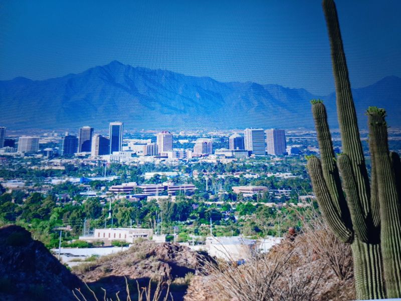
Phoenix has become the U.S. epicenter of extreme-heat risk. The year 2024 set a new warmth record for the city and included a staggering 113-day stretch of temperatures at or above 100 degrees Fahrenheit during the broader warm season.
Heat-related illness and death climb when thermometers stay that high for so long, especially among outdoor workers, elderly residents, and people without reliable air conditioning. Urban heat islands make some neighborhoods even hotter. As climate shifts, Phoenix’s challenge is keeping its growing population safe when summer turns the desert into an oven.
14. Sacramento, California
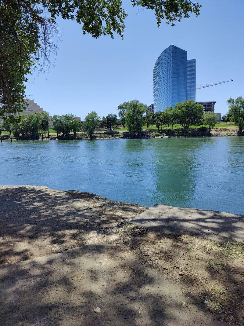
Sacramento sits at the confluence of two major rivers in a low-lying valley, earning frequent citations by the Army Corps of Engineers as one of America’s most flood-prone metros. Miles of aging levees hold back floodwaters, but a catastrophic breach could inundate vast areas within hours.
Heavy Sierra snowmelt or intense winter storms can overwhelm the system. State and local agencies have invested billions in levee upgrades, yet risk remains high. Residents should know their flood zone, purchase insurance, and have evacuation plans ready whenever heavy rain soaks Northern California.
15. Oklahoma City, Oklahoma
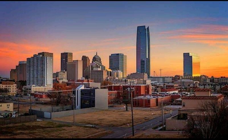
Long-term tornado climatology places Oklahoma City squarely in the nation’s most violent storm corridor. National Weather Service records document dozens of significant tornadoes striking the metro over the decades, some packing winds above 200 miles per hour.
Springtime brings the peak threat, when warm, moist air collides with cool, dry air to spawn supercell thunderstorms. Entire neighborhoods have been leveled in minutes, and residents know the drill: have a safe room, monitor weather alerts, and never ignore tornado warnings. Living here means respecting the sky’s power every severe-weather season.
16. Dallas–Fort Worth, Texas
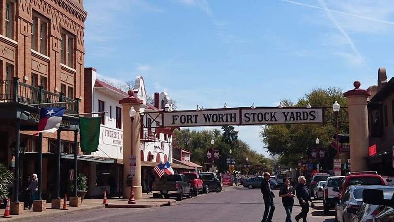
Dallas–Fort Worth ranks as a national hot spot for hail, straight-line winds, and tornadoes. CoreLogic’s 2025 Severe Convective Storm analysis highlights Texas’s concentration of risk, and the Metroplex sits right in the middle of it.
Baseball-sized hail can total cars and punch holes through roofs, while sudden downbursts snap trees and power lines. Tornadoes, though less frequent than in Oklahoma, still strike with deadly force. Homeowners invest in impact-resistant shingles and safe rooms, knowing that spring and early summer bring explosive storms that can turn an ordinary afternoon into a disaster.
17. Hampton Roads, Virginia
Beyond Virginia Beach and Norfolk proper, the larger Hampton Roads region shares the same surge vulnerability. NOAA storm-surge risk maps paint a sobering picture: when a hurricane pushes Chesapeake Bay waters inland, vast areas could flood rapidly.
Military bases, shipyards, and historic towns dot the coastline, all at risk when storms approach. Bridges and tunnels that connect the region can become evacuation choke points, so timing is critical. Residents across Hampton Roads monitor forecasts closely every hurricane season, knowing that geography and dense development leave little margin for error when the next big storm takes aim.


