A powerful winter storm is taking aim at the Midwest and Northeast just as you and millions of others try to get home after the holidays. Forecasts point to a messy mix of snow, sleet, and freezing rain that can turn plans upside down in hours. If you are driving or flying, the timing could not be worse, with conditions changing quickly and delays stacking up. Here is what you need to know right now to stay safe and make smarter choices.
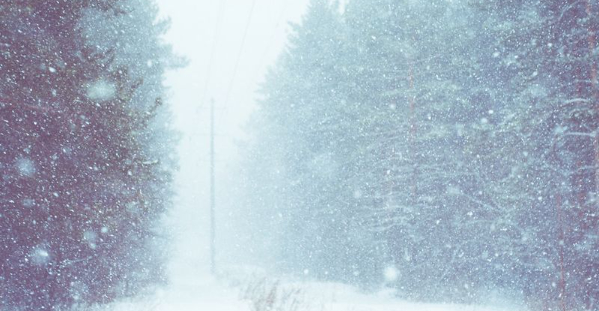
A sprawling winter storm is marching east, pulling frigid air into moisture laden bands that will dump heavy snow in some places and a dangerous glaze of ice in others. Forecast guidance shows the system first hitting the central Plains and Midwest, then expanding into the Great Lakes, Ohio Valley, and Northeast. The overlap with post holiday travel means more people on roads and in airports precisely when conditions deteriorate.
Snow will intensify in narrow bursts, reducing visibility and overwhelming plows for short windows. Warmer edge zones face freezing rain, which coats roads, bridges, and power lines with slick ice that can be worse than snow. Even modest snowfall can deliver outsized impacts if temperatures hover near freezing and precipitation flips between sleet and glaze.
Officials urge you to track updates frequently, shift departure times if possible, and pack essentials for delays. Expect road restrictions, slower airport operations, and potential power disruptions where ice accretes. If plans are flexible, consider traveling outside peak hours or waiting for crews to gain ground. The storm’s track may wobble, so last minute changes could dramatically alter who gets snow, ice, or rain.
Road conditions can deteriorate fast when snow transitions to sleet or freezing rain. That thin, nearly invisible film of ice on pavement robs traction and turns a routine commute into a spin out risk. Bridges, ramps, and untreated secondary roads freeze first, especially after sunset when temperatures dip.
Expect plows and salt crews to struggle if precipitation keeps switching phases. Wet looking roads may actually be glazed, so your tires can lose grip without warning. Multi vehicle crashes often follow sudden ice bursts, and drifting snow will further reduce visibility on open stretches.
If you must drive, slow down, lengthen following distance, and avoid sudden braking or sharp steering. Use lower gears on hills, keep washer fluid topped, and clear sensors and cameras. Pack blankets, snacks, water, a flashlight, and a phone charger in case you get stuck. Consider delaying departure to let crews treat surfaces and for temperatures to stabilize. The safest choice during peak icing may be staying put until conditions improve.
Snow, ice, and low ceilings slow airport operations dramatically, especially when terminals are already packed from post holiday crowds. De icing lines can stretch as crews remove every trace of ice before takeoff, and runway clearing cycles lengthen taxi times. Even brief bursts of freezing rain force ground stops and ripple through the schedule.
Major hubs like Chicago, Detroit, Cleveland, New York, Boston, and Philadelphia are most vulnerable to cascading delays. When one hub snarls, connections miss, crews time out, and aircraft end up out of position. That means disruptions can linger after precipitation ends, catching travelers off guard.
Check flight status repeatedly, sign up for airline alerts, and arrive with extra time. If your airline offers a weather waiver, use it to rebook earlier or later flights with better odds. Pack meds, chargers, snacks, and a change of clothes in your carry on in case of overnights. If you can drive to an alternate airport with better conditions, consider it. Flexibility is your best tool.
The storm’s first wave is not the finish line. After roads are plowed, melted slush can refreeze overnight into black ice, catching drivers by surprise on morning commutes. Gusty winds may redeposit snow across open areas, cutting visibility and undoing progress.
Emergency managers recommend avoiding unnecessary travel, carrying an emergency kit, and monitoring local alerts for changing hazards. Power and road crews are staging where ice threatens lines and trees, but access can be slow if conditions worsen. Small track shifts could move the heaviest snow or glaze into new zones with little notice.
Plan for staggered impacts that extend into the next day, including school delays and adjusted work schedules. Keep your gas tank half full, charge devices, and know alternate routes that avoid higher bridges. If temperatures drop faster than expected, places forecast for rain could glaze over quickly. Staying flexible and informed reduces risk while crews work to restore normal routines. Your decisions today can prevent emergencies tomorrow.


