Weather maps are lighting up coast to coast, and the timing could not be more intense. From pounding West Coast rain to a quick flip to snow and ice across the Midwest, the U.S. faces a stacked deck of winter threats. Add a blast of Arctic air pressing into the Northeast, and you have a switch-flip few are ready to handle. Here is what to watch, why it is happening, and how to prepare before conditions turn dangerous.
A Winter Switch-Flip: Storms, Arctic Air and Atmospheric Rivers All at Once
An atmospheric river is lining up on the Pacific Northwest, funneling warm, moisture-rich Pacific air straight into Washington and Oregon. Forecasters flag a high-end event, potentially AR4 to AR5, with the strongest plume targeting December 8 to 10. Expect long-duration rain that stresses drainage, swells rivers, and primes steep slopes for landslides.
As that deluge hits the coast, a compact winter system races across the Upper Midwest and Great Lakes. What starts as rain or sleet in the Upper Plains may flip to heavy snow as colder air deepens. Visibility could crater with gusty winds, and roads may ice quickly, complicating commutes and freight corridors.
Behind the storm, Arctic air plunges into the Northeast, knocking temperatures far below normal. The combined outcome is a coast-to-coast switch-flip: floods and debris flows out West, snow and ice inland, and biting cold pressing east. You will want flexible plans, because impacts will vary neighborhood to neighborhood.
What Could Go Wrong: Flash-Freezes, Icy Roads, Floods, and Dangerous Cold
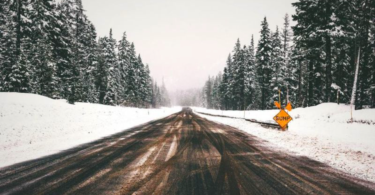
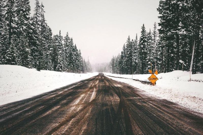
Flash-freeze risk jumps when wet roads plunge below 32 degrees in minutes, locking in a thin, invisible glaze. Add bursts of heavy snow at one to two inches per hour, and you get rapid deterioration with spinouts, jackknifes, and stalled traffic. Even light precipitation becomes treacherous when temperature dives outpace treatment.
South of the main snow band, sleet and freezing rain introduce glaze ice that can down limbs and cut power at a quarter inch. Strong winds raise the odds of outages and blocked roads. If you must drive, assume black ice is present on bridges, ramps, and shaded stretches.
Farther east, snow spreads through the Great Lakes, Ohio Valley, and into the Northeast, including Detroit and Buffalo. Lake-effect zones may briefly supercharge totals where bands park. After the snow, Arctic air bites hard, boosting risks of hypothermia, frozen pipes, and stressed infrastructure.
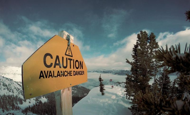
Out West, the atmospheric river aims flooding and landslides at mountain and burn-scar terrain. Rapid rises on rivers could trigger closures and detours. You should watch local alerts closely, avoid flooded crossings, and prepare for quick evacuations where slopes saturate.
Why It Is Happening — The Climate and Atmospheric Setup
The Pacific setup features unusually warm, moist air feeding a strong atmospheric river into Washington and Oregon. CW3E guidance highlights a 72-hour or longer AR episode with high integrated vapor transport. That sustained firehose favors heavy rain, runoff, and hydrologic response across already saturated basins.
Meanwhile, upper-air patterns dislodge Arctic air southward, a symptom of amplified jet stream waves and occasional polar vortex perturbations. When that cold meets Pacific-driven moisture and lift, winter hazards escalate fast. The overlap zone supports rapid rain-to-snow transitions and strong pressure gradients that enhance winds.
Some researchers note that a warming climate loads the dice for bigger moisture plumes. Warmer oceans evaporate more, boosting the ceiling for atmospheric river intensity and duration. At the same time, circulation shifts can steer Arctic air farther south, creating more volatile juxtapositions.
None of this guarantees a specific outcome for your town, but it raises the odds of compound extremes. The key is recognizing the ingredients align this week. Monitor local forecasts because subtle track changes can swing your impacts from heavy rain to ice to disruptive snow.
What to Do — How Residents Should Prepare
Start with basics: charge devices and power banks, stock water and shelf-stable food for at least 72 hours, and refill prescriptions. In the Pacific Northwest, clear gutters and street drains, elevate valuables from basement floors, and map evacuation routes if you live near rivers or steep slopes. Never drive through floodwater.
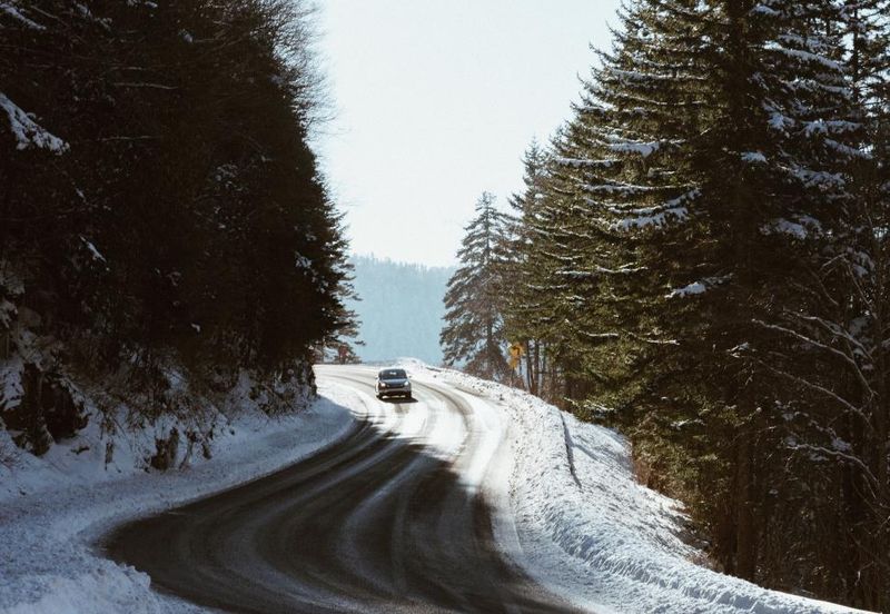
Across the Midwest, Great Lakes, and Northeast, prep for rapid flips from wet to icy. Keep an emergency kit in your car with blankets, traction aids, snacks, and a shovel. Insulate pipes, test heaters, and know how to safely run generators outside.
Travelers should check passes and lake-effect corridors frequently and avoid trips during whiteouts or freezing rain windows. If you must go, reduce speed, increase following distance, and carry chains where required. Expect airline disruptions and build buffer time into connections.
Finally, follow official alerts from NWS and local agencies. Enable wireless emergency alerts, and share plans with neighbors who might need help. Small steps taken today can shave hours off recovery later and keep you safer when the switch flips.


