Some places in America sit so far from pavement that the trip itself becomes the main event. No drive-through lanes, no scenic pullouts, and often no cell signal either.
This list covers fifteen wild corners, from Arctic parks in Alaska to canoe country in Minnesota and desert backcountry in Texas. Some have no roads at all, so travelers arrive by small plane, ferry, canoe, or on foot.
Others sit at the end of long dirt roads that ask a lot of a vehicle. Each stop comes with real details about how people reach it, when it is open, and what to plan for before leaving home.
Pack your patience, check current conditions with the land managers, and read on to find your next big adventure.
Gates of the Arctic National Park and Preserve, Alaska
Try finding a trailhead here and you will come up empty. Gates of the Arctic has no roads and no established trails leading into it, which is a big part of its reputation.
Most travelers arrive by air taxi. Others hike in from places such as the Dalton Highway or Anaktuvuk Pass, which means the adventure begins well before the park boundary.
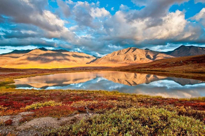
The park sits in the Brooks Range, a landscape of mountains, tundra, rivers, and huge stretches of undeveloped country. Because there are no marked routes, backpackers need strong navigation and wilderness skills.
A map and compass matter more here than a fancy gadget.
The park itself is open year-round, though visitor facilities operate seasonally. That makes planning a key step.
Check with the National Park Service at nps.gov before booking flights, and give yourself extra time for weather delays, since small planes can only fly when conditions allow.
Arctic National Wildlife Refuge, Alaska
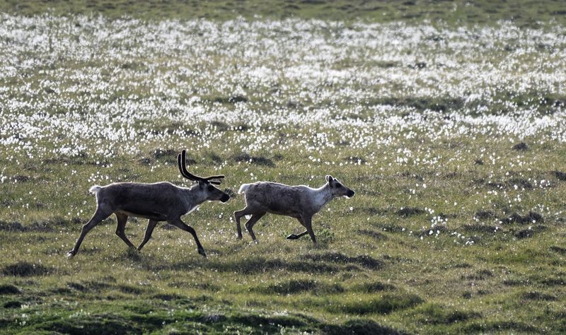
Nineteen million acres is a hard number to picture, so think of it as a place bigger than many states. The Arctic National Wildlife Refuge covers roughly that much ground in northeastern Alaska.
Inside its boundaries there are no roads, established trails, or visitor facilities. Most travelers book an air taxi from a remote community, then camp, hike, or float rivers once they land.
The scenery shifts a lot across the refuge. You will find the Brooks Range, open Arctic tundra, and the coast along the Beaufort Sea.
That variety helps explain why it is called one of the wildest publicly accessible places in the country.
Here is a pleasant surprise for budget planners. The refuge is open to the public year-round and does not charge an entrance fee.
The flights and gear will cost plenty, though, so plan that part carefully.
Kobuk Valley National Park, Alaska
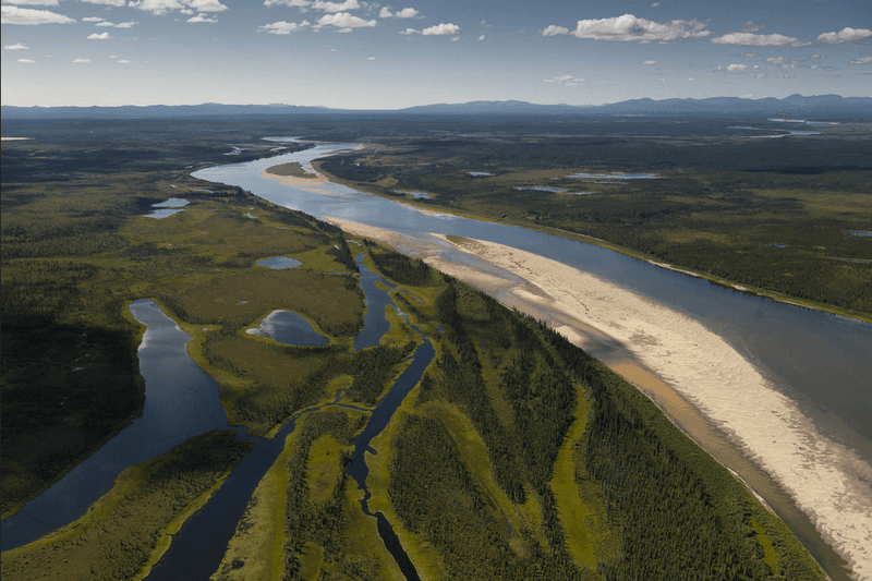
Sand dunes above the Arctic Circle sound like a mistake, but the Great Kobuk Sand Dunes are real. They are one of the most remarkable features in this northwest Alaska park.
Getting there takes effort. No roads connect Kobuk Valley to the rest of Alaska, so travelers generally fly to Kotzebue or Bettles first.
From there they charter an authorized air taxi into the park.
Once inside, the landscape is a mix of rivers, tundra, and wildlife country. It feels like a different world from the busier national parks in the Lower 48.
The park is officially open 24 hours a day all year. Still, the extreme climate makes summer the practical season for many visitors.
Anyone planning a trip should read the National Park Service guidance first and line up transportation early, since air taxi schedules shape the whole plan.
Lake Clark National Park and Preserve, Alaska
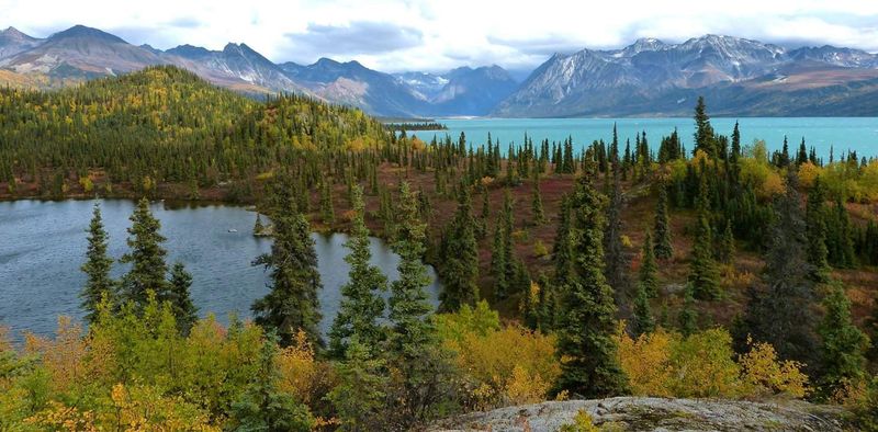
Here, the airplane ride counts as part of the sightseeing. Lake Clark sits outside Alaska’s road system, so visitors normally arrive by small plane or boat.
Floatplanes can land on many lakes and waterways. That gives pilots a way to drop travelers right at the edge of the wilderness.
The park packs a lot into one place. Turquoise lakes, volcanoes, glaciers, rivers, mountains, and coastal habitat all share the same enormous landscape.
Few parks offer that many ecosystems in one trip.
The park stays open around the clock all year. Even so, timing matters.
Transportation, lodging, and guiding options are far more plentiful from June through October, so that window suits most first-time visitors. If winter travel appeals to you, expect fewer services and plan with extra care.
Wrangell-St. Elias National Park and Preserve, Alaska
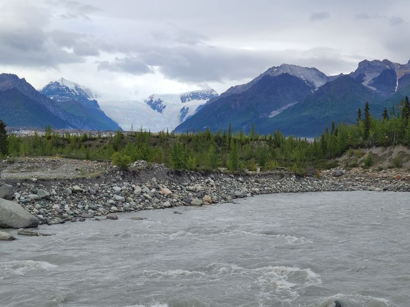
Even among Alaska’s giants, Wrangell-St. Elias stands out for sheer size. Other parks in the state can feel compact next to it.
Much of the interior is true backcountry. It holds glaciers, mountain ranges, rivers, abandoned mining areas, and vast roadless valleys that most people never see.
Visitors can reach portions of the park by rugged roads, then continue on foot or by aircraft into more isolated country. That mix of access options lets travelers choose how deep they want to go.
There is also a trail update for Root Glacier fans. Access was restored through a rerouted trail after the earlier route became unsafe because of landslide hazards.
Before any hike, check current trail notices at nps.gov, since conditions in this kind of terrain can shift.
Kanuti National Wildlife Refuge, Alaska
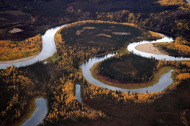
Ask most travelers to name an Alaska wilderness and Kanuti rarely comes up. That is part of its charm.
The refuge lies northwest of Fairbanks near the Arctic Circle, and it has no roads within its boundaries. Visitors typically fly to Bettles, then charter aircraft to lakes, gravel bars, or rivers inside the refuge.
No developed hiking trails exist here. Travelers must rely heavily on navigation skills and wilderness experience, so this is not a first-time backpacking trip.
What you get in return is wet boreal forest, rivers, lakes, and immense stretches of undeveloped land. It is a quieter option for people who want solitude without the name recognition of the bigger Alaska parks.
Contact the U.S. Fish and Wildlife Service before going to confirm current guidance.
The Maze, Canyonlands National Park, Utah
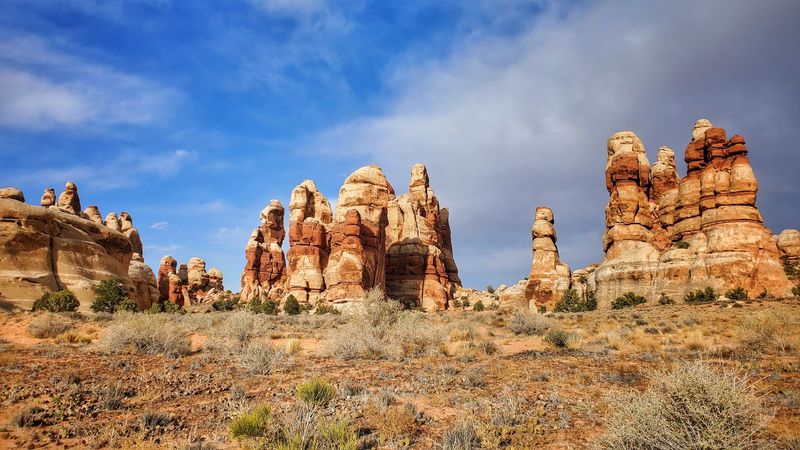
Forty-six miles of dirt road is the price of admission. That is how far the Maze ranger station sits from Utah Highway 24.
The National Park Service calls the Maze the most remote and challenging district in Canyonlands. Even inside a park known for big desert views, this section stands apart.
Vehicle choice matters. High-clearance four-wheel-drive vehicles are required on Maze roads, so a regular rental sedan will not get the job done.
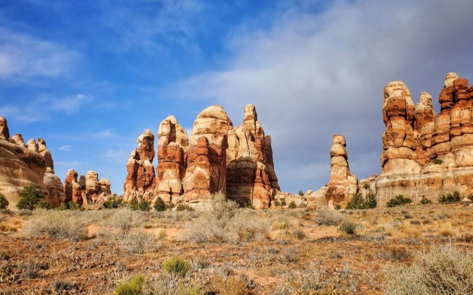
Travelers who make the journey find sandstone canyons, rock formations, desert mesas, and backcountry camps far from the busier parts of Canyonlands. Bring plenty of water, extra food, and a solid plan for fuel.
Check road conditions with the park before leaving, because remote desert tracks can change after storms.
Frank Church-River of No Return Wilderness, Idaho
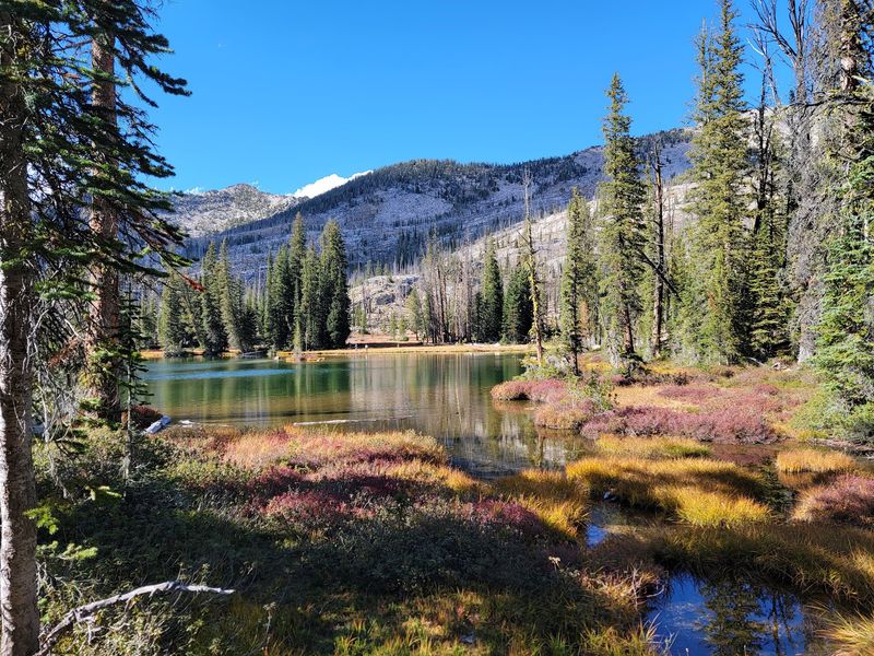
Wilderness fans just call it “The Frank.” The name is short, but the place covers about 2.4 million acres of Idaho.
Activities include hiking, camping, fishing, swimming, and river trips. The terrain is deeply isolated mountain country, and parts of the wilderness rise above 10,000 feet.
The Middle Fork and Main Salmon rivers carve dramatic canyons through the landscape. Rafters and anglers know these waterways well.
Permits matter here. Some activities, particularly floating the Middle Fork of the Salmon River, require them.
Visitors should also verify current fire and access conditions before traveling, since backcountry roads and trails can close without much notice. Start with the U.S.
Forest Service pages and build the trip around their latest updates.
Bob Marshall Wilderness Complex, Montana
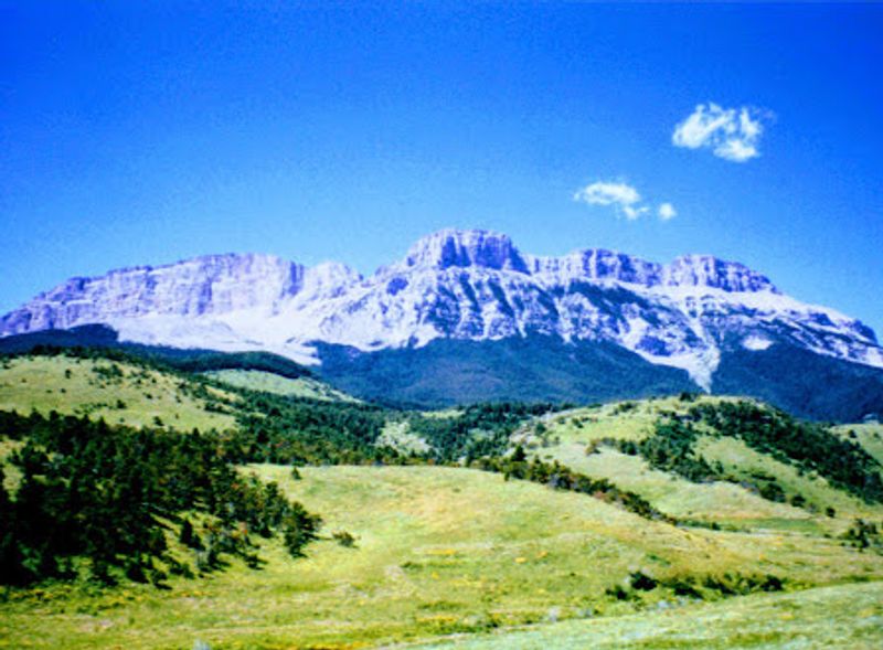
Montanans call it “The Bob,” and the nickname fits a place that feels like an old friend to backcountry travelers.
The complex includes the Bob Marshall, Great Bear, and Scapegoat wilderness areas. Together they form one of the most remote regions in the contiguous United States and one of the great roadless landscapes of the Lower 48.
Expect long trails, mountain passes, forests, and wildlife country. Distances between developed areas are big, so trips here usually mean several days of careful planning.
Backpacking and horseback travel remain the classic ways to experience the interior. If you are new to the area, look at U.S.
Forest Service maps and trail guidance first, then pick a route that matches your fitness and experience level.
Boundary Waters Canoe Area Wilderness, Minnesota
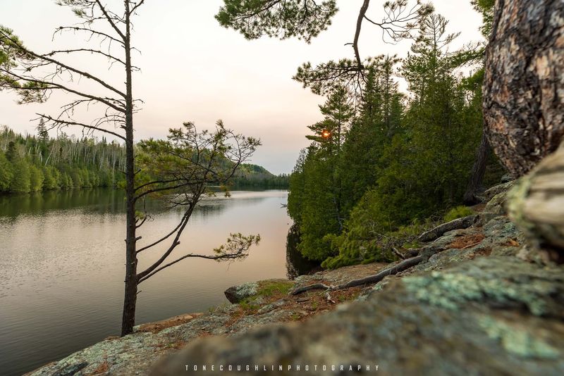
Forget the highway. In this part of Minnesota, more than 1,200 miles of canoe routes act as the transportation network.
The wilderness covers roughly 1.1 million acres and holds thousands of lakes and streams. It also has more than 2,000 designated campsites for overnight stays.
Travel works in a simple pattern. Visitors paddle across a lake, then carry their boats over a portage trail to reach the next waterway.
Paperwork comes before paddling. Wilderness permits are required year-round, and quota permits apply to many trips between May 1 and September 30.
Reserve early for summer dates, and read the U.S. Forest Service rules on group size and camping so your trip goes smoothly.
Thorofare Region, Yellowstone National Park, Wyoming
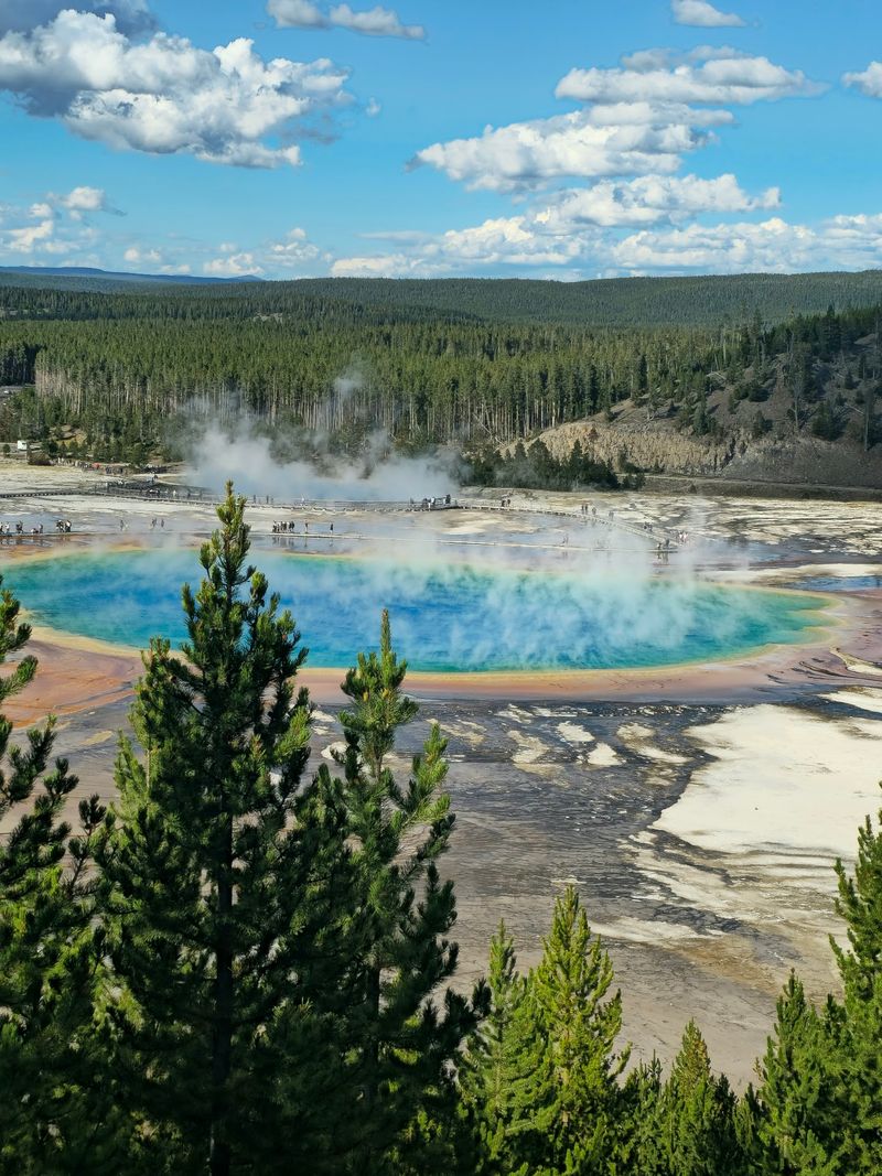
Most Yellowstone visitors line up for geysers. The Thorofare region offers the opposite experience.
It lies deep in the southeastern backcountry, far from the roads and crowded geothermal attractions. Many consider it some of the park’s most isolated terrain.
Getting through means backcountry trails, campsites, river crossings, wildlife habitat, and multi-day travel. This is not a casual day hike.
National Park Service backcountry reports for 2026 listed Thorofare-area trails and stock routes as open during the main hiking season. Even so, river fords can be deep and challenging.
Check the latest conditions at nps.gov, get your backcountry permit in order, and plan extra time in case water levels force a change of route.
Olympic Wilderness Coast, Washington
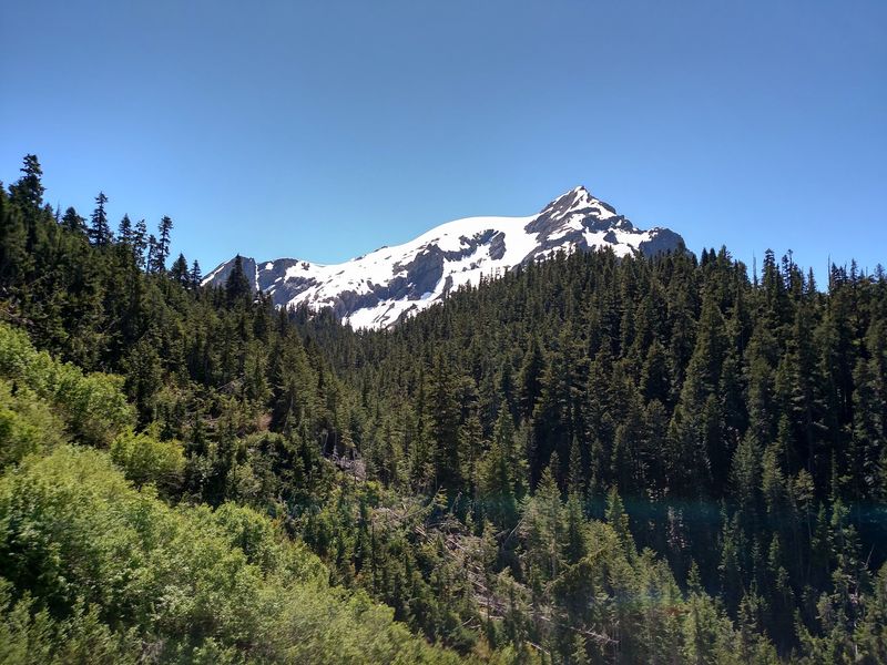
Tide tables are as important as trail maps on this stretch of shoreline. Olympic National Park protects more than 70 miles of primitive Pacific coastline.
Much of it can only be explored on foot. Backpackers pass beaches, cliffs, headlands, sea stacks, forests, and rocky tidal areas instead of the usual mountain trails.
Overnight wilderness camping requires a permit year-round. Certain stretches also require reservations, so book ahead for popular sections.
Timing the walk is the tricky part. Some headlands become difficult or impossible to pass when the water rises, so travelers need to plan around tides.
Pack a tide chart, check the park’s current guidance, and build in extra time so you are never rushed at a tricky point on the beach.
North Cascades National Park Backcountry, Washington
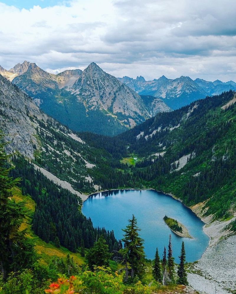
Drive Highway 20 and you will see lovely viewpoints. Walk into the interior of North Cascades National Park and the scene changes completely.
Backpackers can disappear into steep valleys, alpine lakes, glaciers, and rugged peaks. The terrain rewards people who are ready for real mountain travel.
Routes include Cascade Pass, Copper Ridge, Park Creek Pass, and the Rainbow-McAlester area. Each has a fairly short primary hiking season because snow often lingers well into summer.
The National Park Service notes that many backcountry routes generally become practical from July through September. Plan within that window, get your backcountry permit, and check trail reports before you go.
Early-season trips may need snow gear and extra caution.
Big Bend National Park Backcountry, Texas
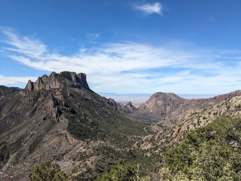
West Texas is remote on its own, and Big Bend goes a step further. Past the developed roads lie desert mountains, huge open spaces, and canyons.
Backpacking here means planning for scarce water and shade. Carrying enough of both is the main challenge.
The park names several rugged backcountry areas, including Mesa de Anguila, Marufo Vega, Mariscal Rim, and the Outer Mountain Loop. Each offers a different version of desert solitude.
Backcountry permits are required for overnight trips. The park remains open year-round, subject to individual trail and seasonal restrictions.
Check current notices at nps.gov, and think hard about timing, since the desert can be demanding in many seasons.
Isle Royale National Park, Michigan
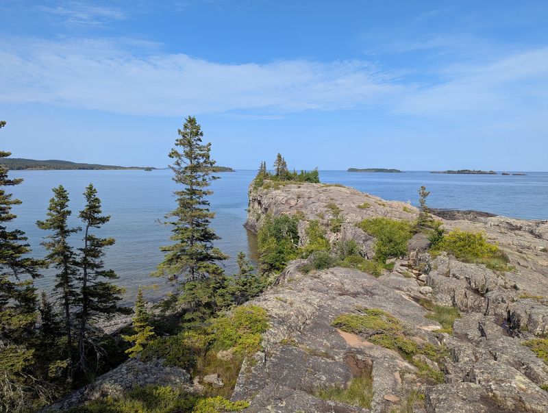
You cannot simply drive here. Isle Royale sits isolated in Lake Superior and is accessible primarily by ferry, seaplane, or private boat.
Once visitors arrive, roads essentially disappear from the experience. Miles of forest trails connect primitive campsites and remote sections of the island.
The calendar matters more than usual. The park operates seasonally rather than year-round.
It is open each year from April 16 through October 31 and closes from November 1 through April 15 because of severe winter conditions.
That schedule makes advance planning essential. Book your transportation early, since ferries and seaplanes run on set seasonal schedules.
Pack carefully, because supplies on the island are limited.
Share this story