Two waterfalls, a river trail lined with old-growth trees, and pools so blue they look almost unreal, all packed into a 2.6-mile loop that most people finish in under two hours. That is the kind of deal that makes you feel like you stumbled onto a secret, even though the trail has been quietly wowing hikers for years.
The Waterfalls Loop Trailhead near Sisters, Oregon sits inside the Willamette National Forest and connects two of the most striking waterfalls in the entire Pacific Northwest. Whether you are a seasoned hiker or someone who just wants a rewarding walk without wrecking your knees, this trail delivers the kind of scenery that stays with you long after you drive home.
Where the Trail Begins: Location and Access
The Waterfalls Loop Trailhead sits along the McKenzie River corridor in the Willamette National Forest, mailing address Sisters, OR 97759, roughly 20 miles east of the small town of McKenzie Bridge on Highway 126.
The GPS coordinates place it at 44.3431685, -121.9995545, which is useful because cell service gets spotty as you wind deeper into the forest.
Most visitors park at the Koosah Falls day-use area, which has a small lot with limited spots. Arriving early on weekday mornings is the smartest move, especially from late spring through early fall when the trail sees its highest foot traffic.
The trailhead is managed by the Willamette National Forest under the U.S. Forest Service.
The official website lists operating hours as 10 AM to 4:30 PM, Tuesday through Friday and Monday, with the area closed on weekends for managed access.
A Northwest Forest Pass or America the Beautiful pass is required for parking, so keep one handy. The trail itself is open year-round, but heavy snow can make the path slippery and difficult from late fall through early spring.
The Two Stars of the Show: Sahalie and Koosah Falls
Most trails make you earn your views the hard way, but this one hands you two spectacular waterfalls before your legs even start to complain.
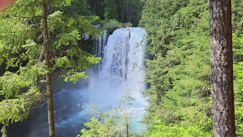
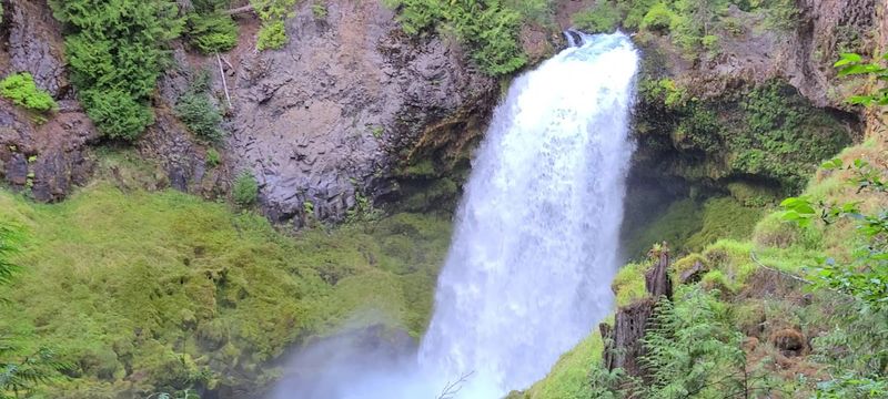
Sahalie Falls is the first showstopper, dropping roughly 100 feet over a basalt ledge into a churning turquoise pool below. The sheer volume of water crashing down creates a mist that drifts across the viewing platform and cools your face on warm days.
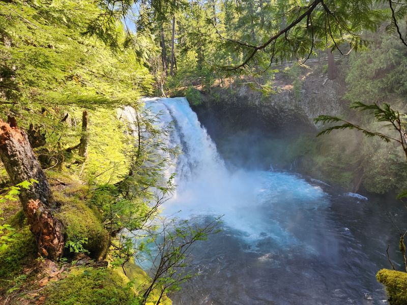
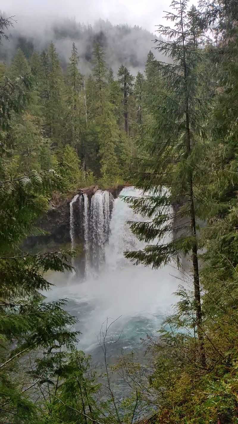
About a half-mile downstream, Koosah Falls takes a different approach. Instead of one clean plunge, the McKenzie River fans out across a wide basalt shelf and tumbles down in multiple curtains of white water, landing in a pool with an almost electric blue-green color.
Both falls are fed by the McKenzie River, which gets its water partly from underground springs and snowmelt from the Cascades. That origin story is part of why the water stays so remarkably clear and cold year-round.
The viewing areas for both falls are well-maintained and accessible, with sturdy railings and clear sightlines. You do not need to scramble down any rocks or leave the trail to get a full, unobstructed look at either one.
Trail Length and Difficulty: Honest Numbers
The loop clocks in at approximately 2.6 miles in total, though some hikers report distances closer to 3 miles depending on which route they take and how much time they spend at each viewpoint.
Elevation gain is modest. The northern half of the loop, heading from Koosah Falls toward Sahalie Falls, gains elevation gradually.
The change is so incremental that most people barely register the uphill until they glance back and notice how far they have climbed.
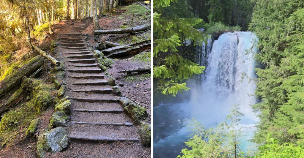
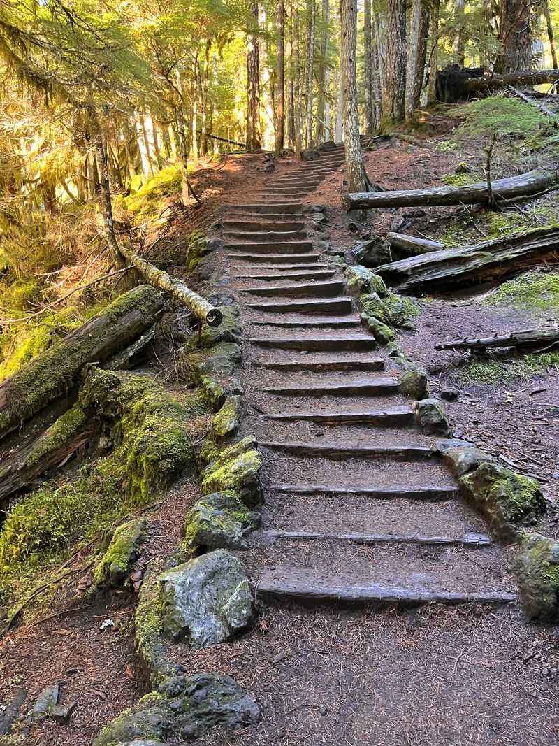
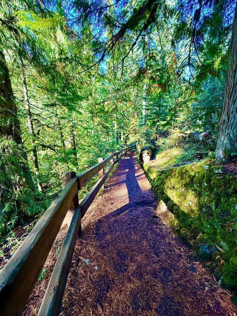
The main trail along the river is wide, clearly marked, and well-worn. A series of steps and stairs appears just past Sahalie Falls, which adds a bit of variety to the walk without making things difficult.
The return trail on the loop is noticeably more primitive and less polished than the riverside path. Some hikers prefer to walk back the way they came rather than completing the full loop, turning it into a relaxed out-and-back instead.
No technical gear is needed. Regular sneakers handle the trail just fine in dry conditions, though waterproof shoes are a smart call if you visit after rain or during snowmelt season when the path can get wet and muddy in spots.
The McKenzie River: More Than Just a Backdrop
The McKenzie River is not just scenery you pass by on the way to the waterfalls. It is the reason this entire trail exists in the shape it does.
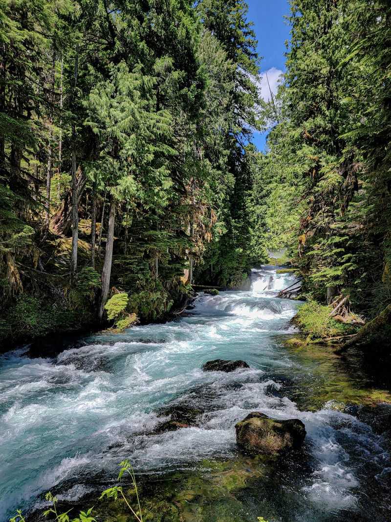
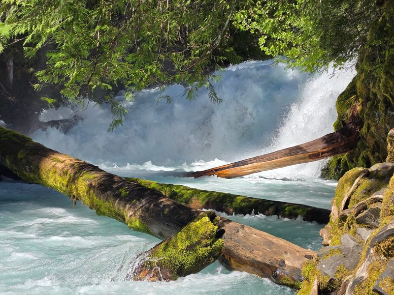
The river originates at Clear Lake, just a few miles north of the trailhead, where it bubbles up from ancient lava fields. That underground filtration process is what gives the water its almost surreal clarity and its signature blue-green tint that shows up in every photo taken along this stretch.
The riverside section of the trail between Koosah and Sahalie Falls keeps you close to the water almost the entire time. You can hear the current rushing below you, and in several spots, the trail hugs the bank close enough that you could reach out and touch the surface.
Picnic spots dot the riverbank at various points along the route. Flat rocks near the water make natural resting places, and the sound of the river moving past is the kind of background noise that makes a lunch break feel like something out of a nature documentary.
The return leg of the loop moves away from the river and into the woods, offering a quieter, more forested experience that rounds out the hike nicely.
Who the Trail Works Best For
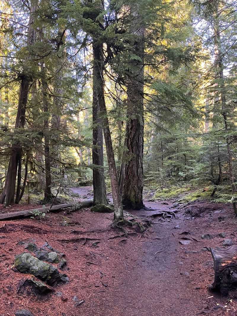
One of the best things about this trail is how broadly it works across different types of visitors. Families with young kids, older adults looking for a scenic walk, and casual day-trippers all handle it comfortably.
The path is wide enough for kids to move around without crowding the edges, and the two waterfall payoffs keep younger hikers motivated. Dogs are welcome on the trail, and the leash rule is enforced, which keeps things calm and safe for everyone sharing the path.
For hikers who want a bit more challenge, the full loop offers a longer version of the experience, and continuing north onto the McKenzie River National Recreation Trail adds several more miles of river scenery.
The trail is not fully paved, so strollers and wheelchairs face some limitations, particularly on the more rugged return section of the loop. The main riverside path is smoother and more manageable for those with mobility considerations.
Solo hikers report feeling comfortable on the trail even during quieter weekday visits. The path is well-traveled enough that you rarely feel isolated, but spread out enough that it never feels like a crowded tourist corridor.
Best Times to Visit and Seasonal Conditions
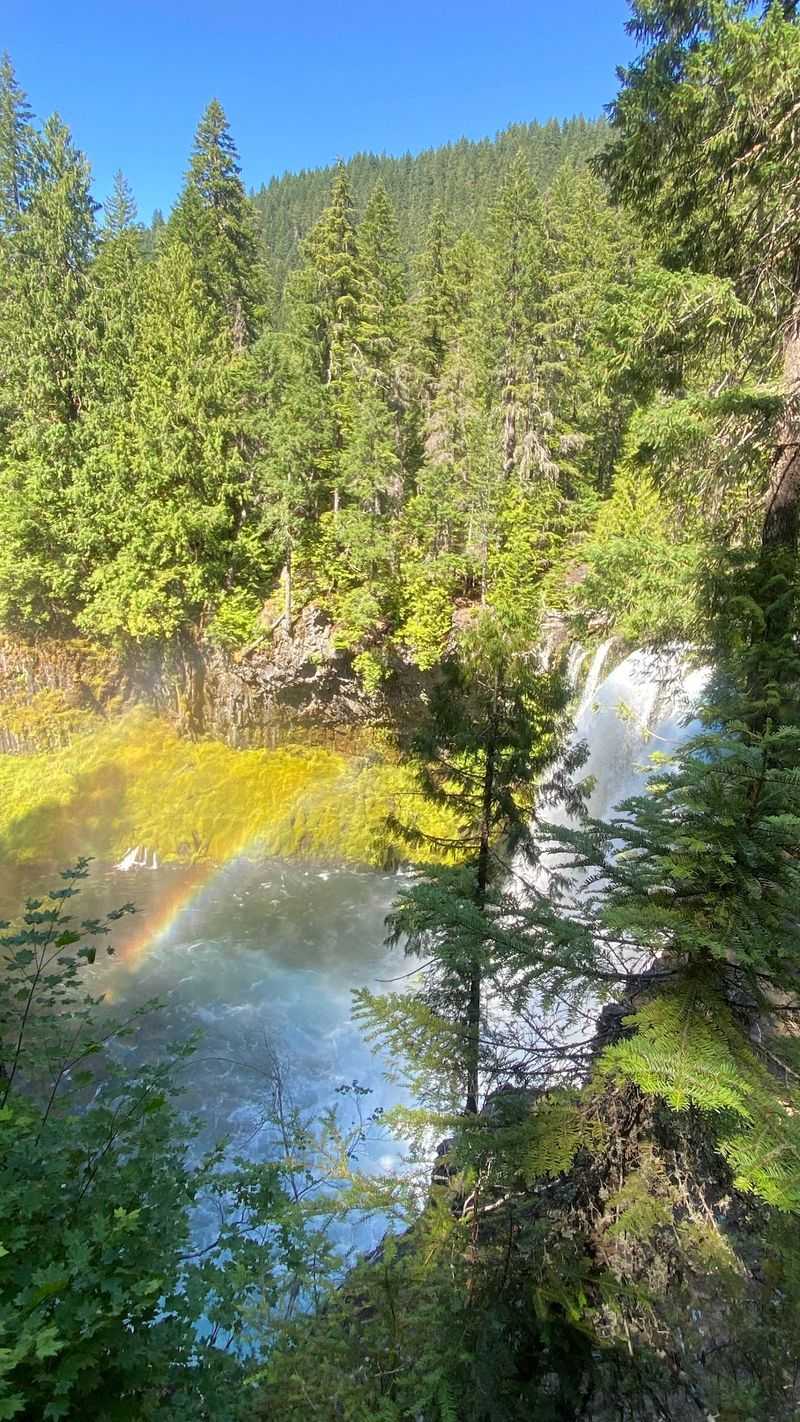
Spring and early summer bring the most dramatic water flow to both falls. Snowmelt from the Cascades pushes the McKenzie River to its fullest, and the roar of Sahalie Falls at peak flow is genuinely impressive.
Late May through early July tends to offer the best combination of high water and comfortable hiking temperatures. Wildflowers pop up along the trail edges during this window, adding color to the already green landscape.
Summer visits are popular and the trail stays busy, but mornings tend to be quieter. Arriving at or shortly after the 10 AM opening gives you the best shot at parking and a more peaceful experience before the midday rush arrives.
Fall brings a color shift to the forest canopy, and the cooler air makes the walk feel crisp and refreshing. Water levels drop slightly from their spring peak, but both falls remain visually striking through October.
Winter access is possible but comes with real cautions. Snow can accumulate heavily in this area, sometimes persisting well into spring.
Checking recent trail photos and current conditions before a winter or early spring visit is a practical step that saves a lot of frustration.
The Blue Pools: A Bonus Worth Knowing About
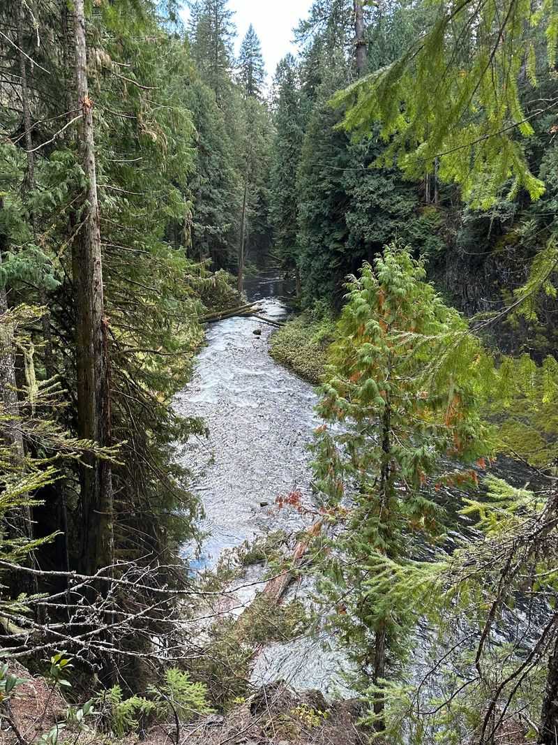
Beyond the two main waterfalls, the trail offers something that does not always make it into the headline descriptions: a series of striking blue pools along the southern end of the route.
These pools collect below the falls and in calmer stretches of the McKenzie River, and their color is the kind that makes people stop mid-stride and stare. The hue comes from the water’s depth, clarity, and the way light interacts with the basalt riverbed beneath the surface.
At certain times, the south end pools have been closed for ecological restoration work, so it is worth checking current conditions before planning your visit specifically around them. The main falls viewpoints remain open even when restoration work is active in other areas.
The pools are not swimming spots in the traditional sense. The water runs cold year-round and the current in active sections moves faster than it looks from the bank.
The appeal is almost entirely visual, and that is more than enough.
A handful of flat rocks near the pools make good perches for sitting and watching the water. The color shifts depending on cloud cover and time of day, so the view looks slightly different every time you visit.
What the Forest Feels Like Up Close
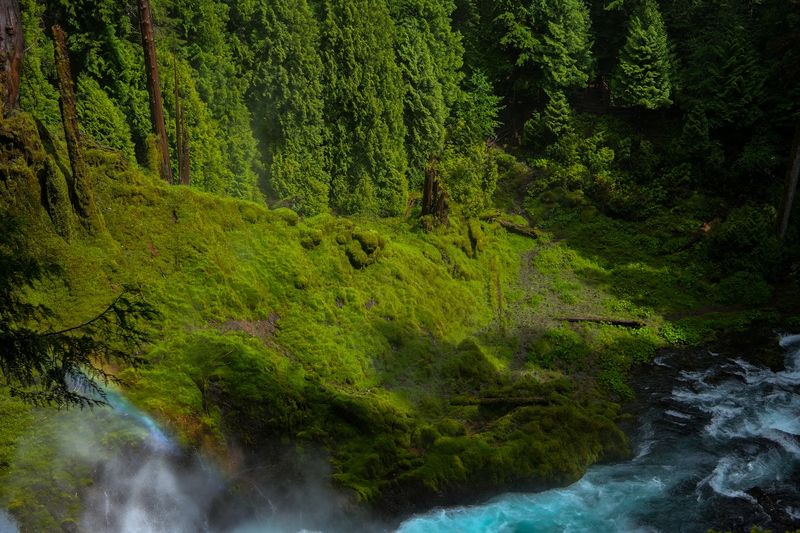
The forest along this trail has a specific quality that photographs only partially capture. Old-growth Douglas firs and western red cedars form a canopy dense enough to filter the light into something soft and green, even on bright days.
Moss covers nearly every surface it can reach, from fallen logs to the rocks along the riverbank. The combination of constant moisture from the river and the falls keeps everything lush and deeply green throughout most of the year.
Ferns line the trail edges in thick clusters, and the undergrowth feels genuinely wild rather than manicured. This is not a landscaped park path; it is a corridor through actual old-growth forest, and that distinction shows in every direction you look.
Bird activity is constant but often subtle. Varied thrushes, American dippers, and Steller’s jays move through the trees and along the water.
The American dipper in particular is worth watching for near the river, as it bobs on rocks mid-current and occasionally walks underwater to forage.
The air carries a particular scent that mixes pine resin, wet stone, and river mist. It is the kind of smell that makes city air feel like a distant memory by the time you reach the first viewpoint.
Parking, Permits, and Practical Logistics
Logistics matter on a trail this popular, and a little planning goes a long way toward a smooth visit. The parking area at Koosah Falls is the most convenient starting point, but the lot is genuinely small, with only a handful of spots available.
Weekday mornings are the most reliable time to find a space without stress. Weekends are officially listed as closed under the current operating schedule, which is an unusual detail worth double-checking before you drive out, since access policies can shift with seasonal management changes.
A Northwest Forest Pass or an America the Beautiful annual pass covers the parking fee. Single-day passes can be purchased at the site if you do not already have one, though having a pass ready saves time at the trailhead.
Restroom facilities are limited in the area, so planning accordingly before you arrive is a sensible move. The nearest services, including gas stations and food options, are back toward the town of McKenzie Bridge or further east toward Sisters.
Cell service is unreliable along the entire McKenzie River corridor. Downloading an offline map before you leave home and saving the trailhead GPS coordinates to your phone takes about two minutes and eliminates a lot of potential confusion on the drive in.
The Slack Liners and Other Surprises
Not every trail comes with unexpected entertainment built into the scenery, but this one occasionally delivers a bonus that stops hikers in their tracks. Slack liners sometimes set up their lines above Sahalie Falls, walking a taut rope stretched over the gorge with the falls thundering below them.
Watching someone walk a slack line above a 100-foot waterfall is the kind of thing you do not forget quickly. It is completely legal in the area and adds a surreal human element to an already dramatic landscape.
Beyond the slack liners, the trail occasionally surfaces other small surprises. The staircase section just past Sahalie Falls is one of them, a series of constructed stone steps that drops you down alongside the gorge and gives you a slightly different angle on the falls than the main viewing platform.
Wildflowers appear in unexpected patches along the trail edges from late spring through early summer. Trilliums, bleeding hearts, and various native species pop up between the ferns in a way that rewards anyone paying attention to the ground as well as the views.
The overall effect of the trail is that it keeps offering new things to look at even when you think you have already seen the main attractions. That quality is rarer than it sounds on a short loop.
How This Trail Compares to Other Oregon Waterfall Hikes
Oregon is not short on waterfall trails. The Columbia River Gorge alone has enough falls to fill a full week of hiking, and the Cascades scatter them across dozens of routes.
So where does this loop actually rank?
The honest answer is that it punches well above its weight for the distance involved. Most waterfall hikes in Oregon require you to commit to at least five or six miles to see two significant falls.
This trail delivers both Sahalie and Koosah in under three miles, which is a genuinely efficient ratio.
The water volume and color at both falls also set them apart from many of the smaller cascade-style falls that appear on popular Oregon lists. These are full-on powerful waterfalls, not photogenic trickles.
The trail surface and signage are better maintained than many comparable routes in the region, which matters for casual hikers who do not want to spend half their energy navigating confusing junctions or scrambling over rough terrain.
For anyone using Eugene or Springfield as a base for exploring central Oregon, this trail is a natural day trip that fits comfortably into a morning without requiring a full-day commitment. The drive through the McKenzie River valley on Highway 126 is scenic enough to count as part of the experience.
Closing Thoughts: Why This Loop Earns Its Reputation
A trail with a 4.9-star rating across dozens of reviews is not a coincidence. The Waterfalls Loop Trailhead earns that number by doing a specific set of things exceptionally well: two world-class waterfalls, a beautiful river corridor, a manageable distance, and a forest setting that makes the whole thing feel like a genuine escape.
The trail does not try to be everything. There are no summit views, no dramatic ridge walks, and no technical challenges to brag about afterward.
What it offers instead is a focused, deeply satisfying walk through one of Oregon’s most photogenic river corridors.
The accessibility factor matters more than it might seem. A trail this rewarding that works for kids, older hikers, and first-time visitors creates the kind of shared experience that brings people back with different friends and family members across different seasons.
Every visit has the potential to look a little different depending on water levels, light conditions, and the time of year. That variability keeps the loop from ever feeling like a one-and-done destination.
The McKenzie River keeps flowing, Sahalie keeps roaring, and Koosah keeps glowing with that unmistakable blue-green light. Some places just have a way of staying with you, and this short Oregon loop is firmly in that category.
Share this story