Just outside Columbia, one free Missouri state park hides a 125-foot natural rock bridge, miles of caves, sinkholes, springs, and more than 20 miles of trails.
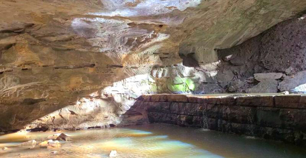
Rock Bridge Memorial State Park’s strangest feature may be Devil’s Icebox, where cool air flows from a cave system stretching roughly 6.5 to 7 miles underground. The cave stays around 55 degrees year-round and protects rare wildlife, including a tiny species found naturally nowhere else on Earth.
Visitors cannot enter Devil’s Icebox, but another cave in the park is open for self-guided exploration. Add a 65-foot-high rock bridge with a creek running beneath it, and this 2,273-acre park packs an unusual amount into a free afternoon outdoors.
Where the Adventure Begins: Location and First Impressions
Rock Bridge Memorial State Park sits at 5901 South Highway 163, Columbia, MO 65203, roughly five miles south of the city center in Boone County. The drive itself is short and easy, and the transition from suburban Columbia to dense Missouri woodland happens almost immediately once you turn off the main road.
The park spans 2,273 acres, which sounds abstract until you are standing at the trailhead and realize that what stretches ahead of you includes caves, sinkholes, springs, prairies, and miles of forested paths. There is no admission fee, and the park opens daily from sunrise to sunset, making a spontaneous visit entirely reasonable.
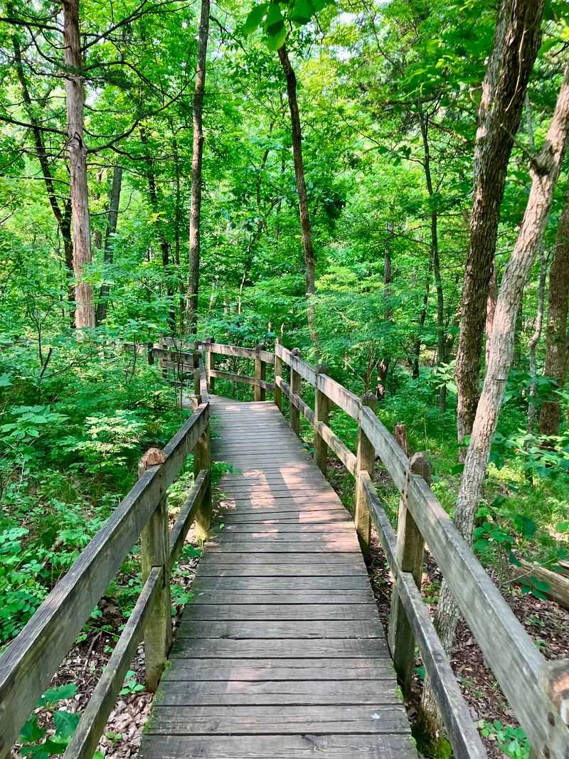
Parking is free and well-organized, restrooms are available near the main trailhead, and informative interpretive signs greet you before you even hit the first stretch of boardwalk. The overall atmosphere on arrival is calm and welcoming, with the kind of quiet energy that tells you something genuinely interesting is just a short walk away.
The Rock Bridge Itself: Nature’s Most Patient Sculptor
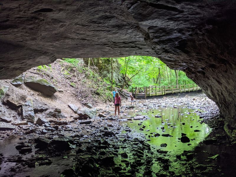
The park’s namesake formation is the undisputed centerpiece, and it earns every bit of attention it gets. This natural limestone arch stretches 125 feet in length and rises 65 feet high, spanning a creek that flows steadily beneath it regardless of the season.
The bridge formed over millions of years as water dissolved the Burlington Limestone bedrock, gradually collapsing the roof of what was once a larger cave system. What remained after that long geological process is a graceful, load-bearing span of ancient rock that now frames one of the most photogenic scenes in Missouri.
Visitors often walk the boardwalk trail that leads directly beneath the arch, and the experience of looking up at its curved underside while hearing the creek below is genuinely striking. Bats roost in the crevices overhead, and on quieter mornings, frogs, fish, and crayfish are visible in the shallow water.
The rock bridge is the kind of landmark that makes you pause and reconsider how much can happen in a million years.
Devil’s Icebox: The Cave That Breathes Cold Air
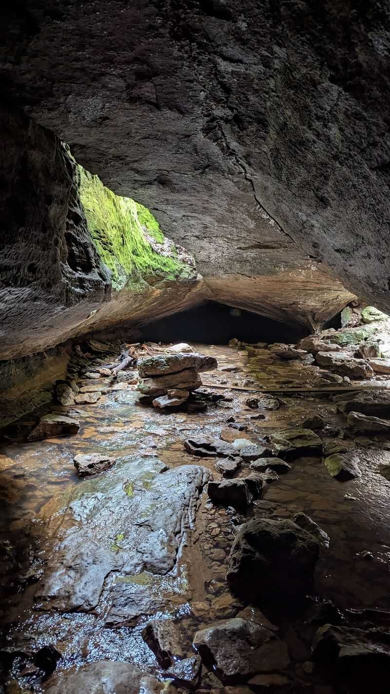
Standing near the entrance to Devil’s Icebox on a warm summer afternoon, you feel it before you see it. A steady current of cool air flows upward from the double sinkhole opening, dropping the ambient temperature noticeably and explaining the name in the most direct way possible.
The cave system beneath this entrance is one of Missouri’s longest, with mapped passages extending approximately 6.5 to 7 miles. It maintains a stable internal temperature of around 55.4 degrees Fahrenheit year-round, which is what creates that signature cold exhale at the surface.
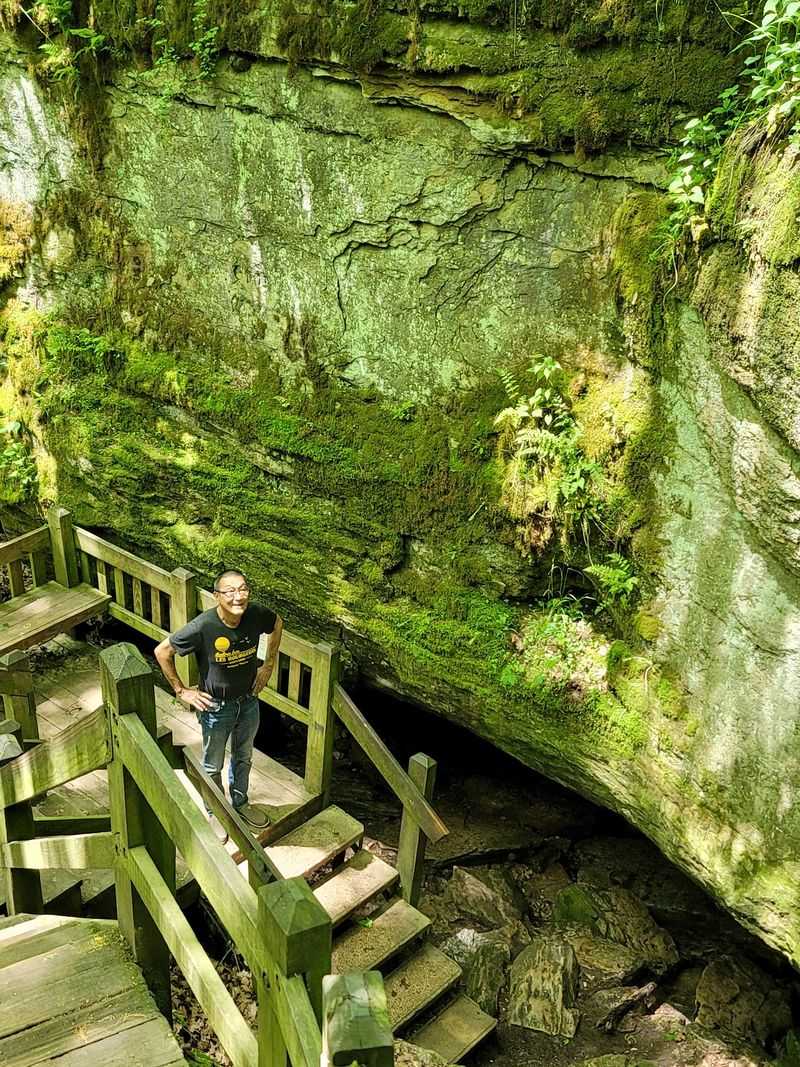
The cave itself is currently closed to protect its bat populations and a rare cave-dwelling organism found nowhere else on Earth, but the entrance experience alone is worth the short walk from the trailhead. The sight of that dark opening in the earth, framed by tree roots and mossy stone, with cold air drifting outward, is one of those sensory moments that stays with you.
The story of what lives inside is even more remarkable, and that comes next.
What Lives Inside Devil’s Icebox: A World Found Nowhere Else
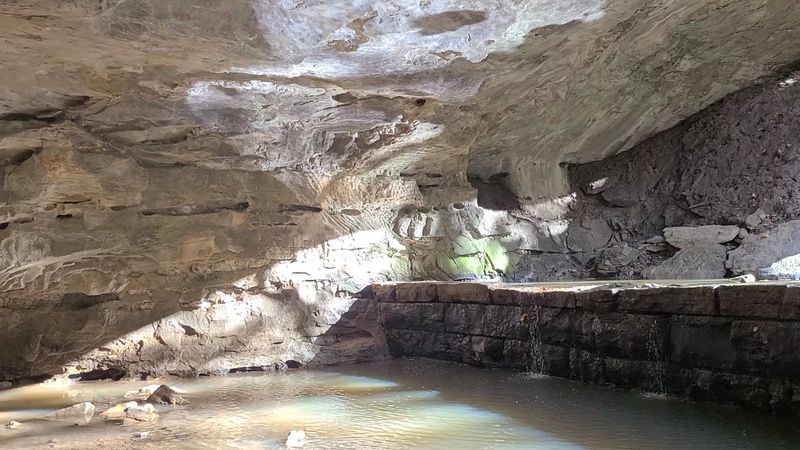
The reason Devil’s Icebox Cave remains closed to the public is not arbitrary. Inside that 6.5-mile underground network lives a community of organisms that depend on the cave’s stable, undisturbed environment to survive, and some of them exist nowhere else on the planet.
Federally endangered gray bats use the cave as a summer nursery, raising their young in the consistent warmth of the deeper chambers. Endangered Indiana bats hibernate there through the colder months.
Both species have been severely impacted by white-nose syndrome, a fungal disease that has devastated bat colonies across North America, making protected sites like this one critically important.
Most extraordinary of all is the pink planarian, scientifically known as Kenkia glandulosa, a tiny flatworm that has been found naturally only within the Devil’s Icebox system. This species has no other confirmed wild habitat on Earth, which means the cave beneath your feet is the entire world for that particular creature.
That fact alone reframes what it means to stand at the entrance and look down.
Connor’s Cave: Where You Actually Get to Go Underground
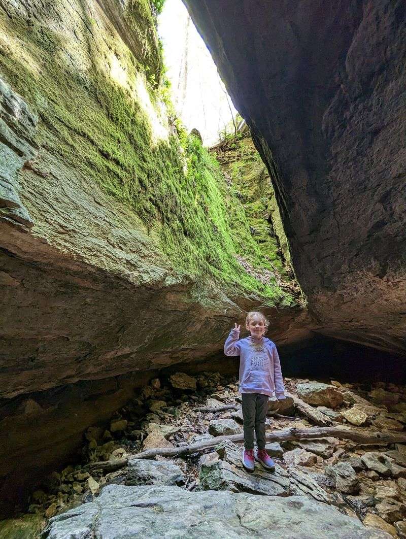
Not every underground experience at the park is off-limits. Connor’s Cave, a 166-foot limestone cavern located within the park, is open for self-guided exploration and gives visitors a genuine taste of what it feels like to move through the earth.
A shallow stream typically flows through the cave floor, often just a few inches deep, so waterproof shoes are strongly recommended. Most of the passage allows for upright walking, though one section of about 15 feet requires ducking, which adds a small dose of adventure without demanding any technical caving skill.
A flashlight and a helmet are both smart additions to your kit before heading in.
The cave stays cool and quiet inside, with the kind of stillness that makes you acutely aware of every drip and footstep. Groups of 15 or more can arrange guided naturalist tours in advance, but solo visitors and small families are welcome to explore on their own.
Connor’s Cave is a crowd favorite for families, and it tends to generate the most excited conversation on the trail back out.
The Trail Network: Over 20 Miles of Terrain to Explore
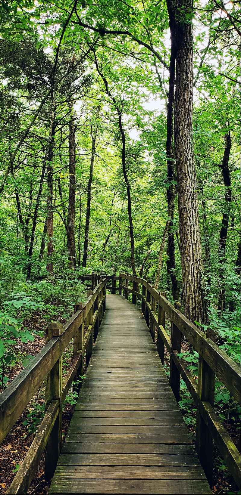
Eight distinct trails weave through the park’s 2,273 acres, covering more than 20 miles of terrain that ranges from flat boardwalk sections to rocky natural-surface paths that climb and descend through forested hillsides. There is a genuine variety here, and the trail you choose shapes a completely different experience of the same park.
The Devil’s Icebox Trail is the most popular, running roughly 1.7 miles and reserved exclusively for foot traffic. It connects the main trailhead to the rock bridge, the cave entrance, and several karst features along the way, all via a mix of boardwalk and natural surface.
The Sinkhole Trail, at 1.5 miles, adds historical interpretation stops that give context to the landscape and the people who once lived and worked here.
Mountain biking is permitted on most trails during dry conditions, with the notable exceptions of the Devil’s Icebox Trail and the Gans Creek Wild Area Trail, which are kept hike-only to preserve their natural character. The trails are generally well-marked, and the park’s signage makes navigation intuitive even for first-time visitors.
Karst Topography: The Geology That Makes This Place Tick
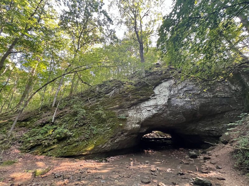
Everything unusual about this park, the caves, the rock bridge, the sinkholes, the springs, the underground streams, traces back to a single geological process: karst formation. The bedrock here is Burlington Limestone, deposited roughly 250 million years ago when a shallow sea covered this region and marine life accumulated in vast quantities on the seafloor.
As the land uplifted and the ancient sea retreated, that limestone was exposed to rainwater carrying dissolved carbon dioxide. The resulting weak carbonic acid slowly ate through the rock over geological timescales, carving channels, enlarging fractures, and eventually hollowing out the cave systems and sinkholes visible throughout the park today.
The rock bridge itself is the collapsed roof of one of those ancient cave passages, a reminder that the landscape is always in motion even when it appears completely still. Sinkholes throughout the park funnel surface water directly into the underground network, and springs push groundwater back to the surface in spots that feel almost magical.
Understanding this process transforms a pleasant hike into something closer to reading a very old book written in stone.
A History Stranger Than Fiction: Mills, Paper, and a Distillery
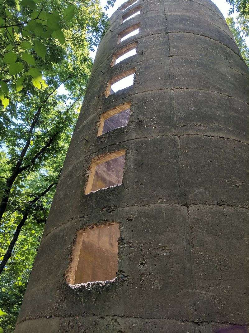
Before this land became a state park, it had a remarkably busy human history that most visitors walk right past without realizing. The stream flowing through the hollow provided consistent water power that early settlers put to immediate use, constructing a gristmill at the site of the natural rock bridge in the 19th century.
In 1834, a paper mill was established here, reportedly the first paper mill west of the Mississippi River, a genuinely significant industrial milestone tucked into what is now a quiet forest trail. The community that grew around these operations was known as Rockbridge Mills, and later as Pierpont.
A whiskey distillery followed in 1847, and its crumbling stone foundation is still visible along one of the trails if you know where to look.
The distillery survived fires, the Civil War, and shifting local sentiment before eventually closing in the early 20th century. What replaced all of this industry was something far more lasting.
In 1967, the land was designated a state park as a memorial, and the story behind that dedication is one of the most quietly moving chapters in the park’s entire history.
The Memorial Behind the Name: A Story Worth Knowing
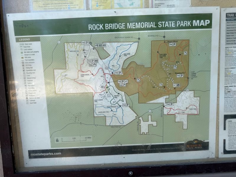
The word “Memorial” in the park’s name carries real weight. The land’s designation as a state park in 1967 was not simply a conservation decision.
It was a deliberate act of remembrance, driven by a father’s grief and his determination to turn loss into something lasting and public.
The park was established in memory of Carol Stoerker, a nine-year-old girl who died in a 1961 accident. Her father wanted to create a safe, beautiful place where children and families could play, explore, and be together.
That intention is woven into the fabric of the park in a way that is easy to miss on a first visit but impossible to forget once you know it.
There is something quietly profound about hiking through these trails, climbing down into Connor’s Cave, or standing beneath the rock bridge with that backstory in mind. The park functions beautifully as a natural destination, but it also functions as a kind of promise kept, a space created so that others could find joy in exactly the kind of outdoor exploration that childhood deserves.
That context adds a dimension to every visit that no trail sign can fully capture.
Wildlife, Wildflowers, and the Living Landscape
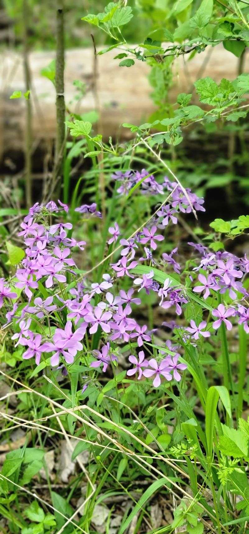
The park’s varied terrain supports a genuinely diverse community of plants and animals, and paying attention to that life layer adds a lot to any visit. The woodlands are home to the kinds of birds that reward patience: woodpeckers working the bark of old oaks, warblers passing through during migration, and the occasional hawk riding thermals above the ridgeline.
Spring brings wildflowers to the forest floor and the open prairie sections, with blooms appearing in waves from early March through May. Fall transforms the canopy into a display of amber, rust, and gold that makes even the most familiar trails feel newly discovered.
The creek and underground stream environments support fish, crayfish, frogs, and the small brown bats that roost beneath the rock bridge and are visible at dusk.
Dogs are welcome throughout the park on leashes no longer than 10 feet, which makes the trail network a solid option for people who prefer their outdoor adventures to include a four-legged companion. The park rewards slow walkers and careful observers far more than it rewards people in a hurry to check a box and move on.
Practical Tips for Getting the Most Out of Your Visit
A few practical details make a meaningful difference at this park. Waterproof or water-resistant shoes are genuinely useful, not optional, especially if you plan to explore Connor’s Cave or walk the creek-adjacent sections of the Devil’s Icebox Trail.
A flashlight and a basic helmet round out a smart kit for the cave.
Spring and fall are the most comfortable seasons for a visit, with mild temperatures and active wildlife. Summer visits are entirely doable but come with heat and humidity, so starting early in the morning helps considerably.
The park is open year-round from sunrise to sunset, and admission is free on every single day of the year.
Picnic tables are available for those who want to bring lunch, and a small store near the trailhead carries basic supplies including ice and drinks. Trail conditions matter for mountain biking, as riding is restricted during wet or muddy periods to protect the paths.
The park’s phone number is 573-449-7402 if you want to check current conditions or ask about guided programming before you arrive.
Share this story