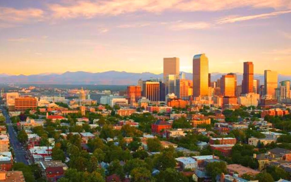
Most city boundaries make a reasonable kind of sense on a map. Then you zoom in on certain American municipalities and things get genuinely weird fast.
Some cities send skinny fingers of land toward distant airports. Others swallow entire counties, wrap around independent towns, or claim territory so wild and remote that the word “city” starts to feel like a generous stretch.
A few of the places on this list contain glaciers, mountain ranges, and coastal wilderness inside their official limits, while others exist as scattered puzzle pieces that don’t even touch each other. What unites all 19 is a boundary that tells a much stranger story than the city’s reputation suggests.
Read on to find out which American municipality contains a glacier covering 18 percent of its total area, and which one is technically larger than the state of Connecticut.
1. Los Angeles City Limits, Los Angeles, California
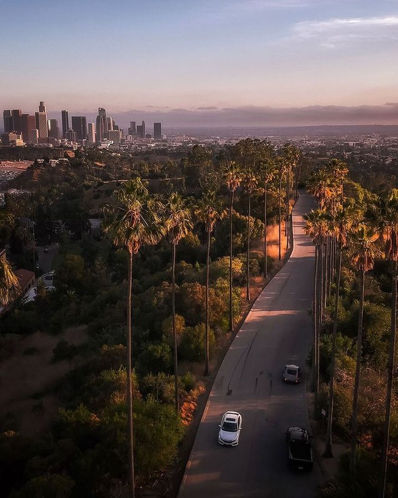
Harbor Gateway is the quirky southern appendage that makes Los Angeles look like it grew an extra finger on the map. Annexed in 1906 during the so-called Great Free Harbor Fight, this narrow strip of land was the city’s way of connecting its main body directly to the port areas of San Pedro and Wilmington.
The corridor, once nicknamed the shoestring strip, threads between neighboring communities before widening near the waterfront. It remained largely rural until World War II.
The area was officially renamed Harbor Gateway in 1985, though some residents still receive mail addressed to Torrance or Gardena.
2. Chicago City Limits, Chicago, Illinois
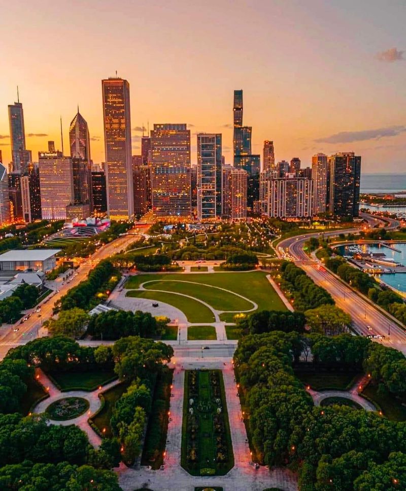
O’Hare International Airport sits so far northwest of downtown Chicago that it looks like it belongs to a suburb, yet it has been firmly inside city limits since 1956. Mayor Richard J.
Daley orchestrated the annexation to keep Chicago in direct control of its rapidly growing airport.
The connection runs through a corridor that was reportedly less than 33 feet wide in some sections before a land swap with Rosemont widened it. Today, O’Hare is the only Chicago community area that extends into DuPage County, crossing beyond Cook County lines entirely.
3. Oklahoma City Limits, Oklahoma City, Oklahoma
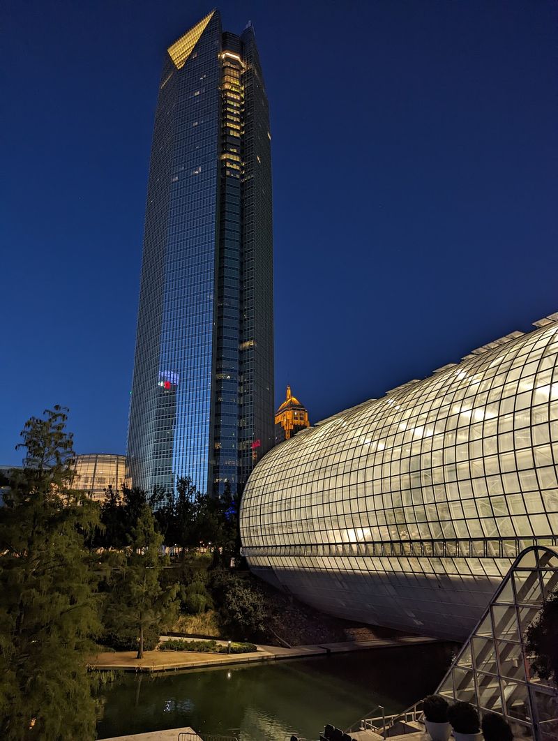
Oklahoma City launched what locals called the Great Annexation Drive in 1959, ballooning from 80 square miles to an extraordinary 475 square miles in just two years. By 1970, the city had pushed past 635 square miles, briefly claiming the title of largest American city by land area.
The boundary now weaves around neighboring communities and large stretches of lightly developed land in ways that regularly confuse residents. People can live inside Oklahoma City while holding an Edmond mailing address and sending their children to schools that carry a completely different community’s name.
4. Kansas City Limits, Kansas City, Missouri
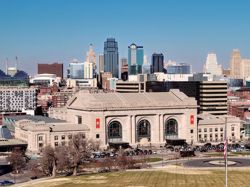
Kansas City, Missouri pulls off the rare trick of spreading its municipal limits across four separate counties. Most of the city occupies Jackson, Clay, and Platte counties, but a smaller piece reaches into Cass County, giving the outline an unexpectedly sprawling and irregular shape.
Kansas City International Airport adds another layer of complexity, sitting in Platte County territory that was annexed into the city after passing through the jurisdiction of smaller Platte City first. Residents in different parts of Kansas City can end up dealing with entirely different county governments for taxes, services, and elections.
5. Huntsville City Limits, Huntsville, Alabama
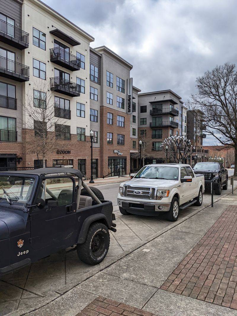
Huntsville’s boundary map looks less like a city outline and more like a geography exam gone wrong. Alabama’s largest city by area now stretches across four counties, including Madison, Limestone, Morgan, and Marshall, with a boundary full of long extensions, narrow corridors, and jagged irregular edges.
The neighboring city of Madison fits alongside Huntsville in a complicated interlocking pattern created by decades of outward expansion. Businesses can carry a Madison postal code while technically sitting inside Huntsville’s jurisdiction, and the reverse situation exists too, depending on which side of the invisible line a building happens to land.
6. Denver City Limits, Denver, Colorado
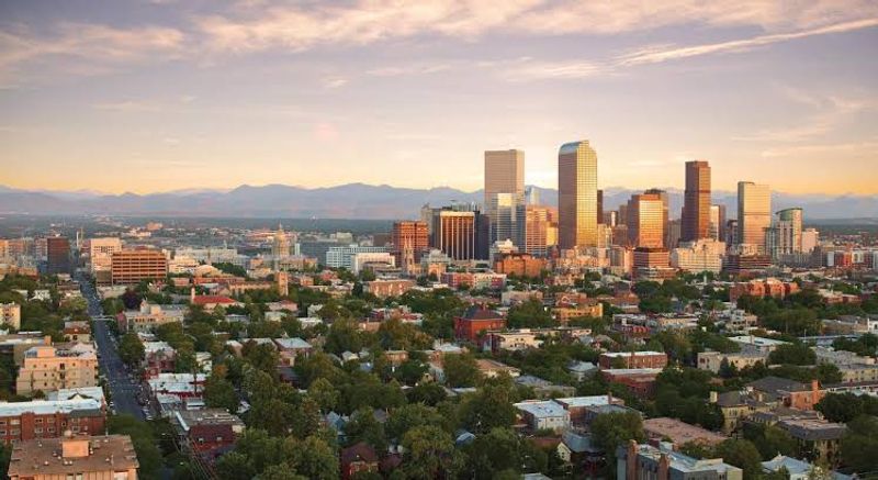
Denver International Airport sits so far northeast of the city’s downtown core that most travelers assume it belongs to Adams County. That assumption is wrong.
Voters in both Adams County and Denver approved the annexation of 54 square miles of county territory back in 1988 so Denver could secure enough land for an entirely new airport.
The result is a striking northeastern extension that stretches well beyond the compact urban center most people picture when they think of Denver. DIA is the largest airport in North America by land area, and every acre of it belongs to the Mile High City.
7. Charlotte City Limits, Charlotte, North Carolina
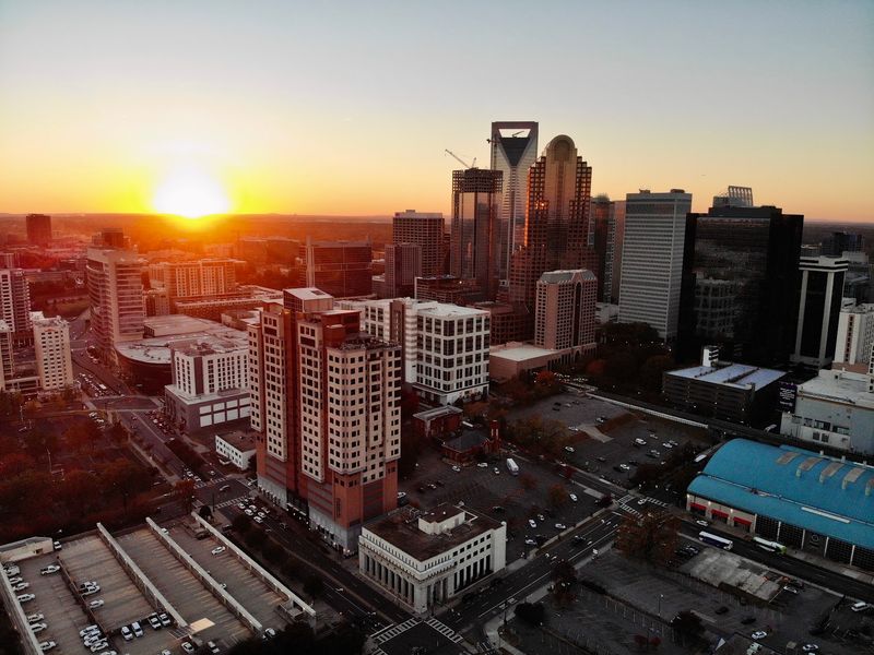
Charlotte can legally claim territory that does not touch the rest of the city at all. North Carolina’s satellite annexation laws allow the city to absorb qualifying parcels located within three miles of existing city limits, even when unincorporated land sits between them and the main municipal body.
This creates the unusual possibility of a Charlotte address existing as a geographic island, surrounded by land that belongs to no city at all. The process is typically started by property owners who want access to city services, making Charlotte’s map an evolving patchwork rather than one tidy, continuous outline.
8. San Jose City Limits, San Jose, California
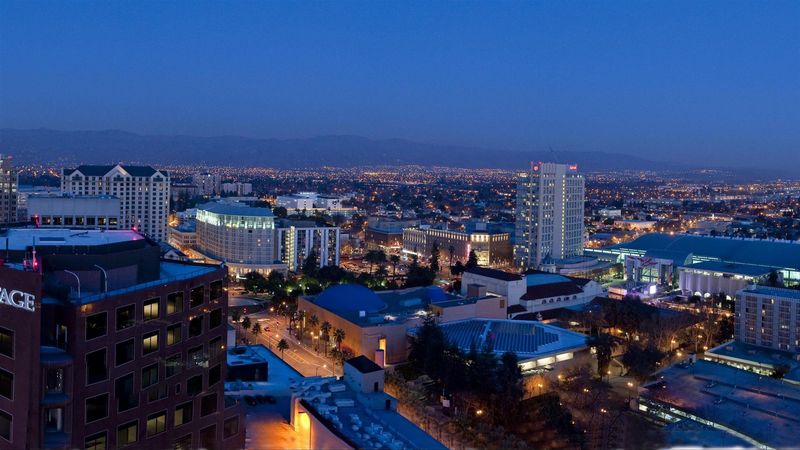
San Jose’s municipal map is dotted with what planners call county islands, pockets of unincorporated Santa Clara County land that are nearly or completely surrounded by city territory. These holdouts create administrative confusion for residents who may be physically inside San Jose while receiving county services instead of city ones.
Officials launched a dedicated island annexation program in 2006 to absorb many of these fragments. The effort is still ongoing, with annexation activities recorded as recently as 2026, meaning San Jose’s boundary continues to shift as the city gradually closes in on the remaining gaps.
9. Jacksonville City Limits, Jacksonville, Florida
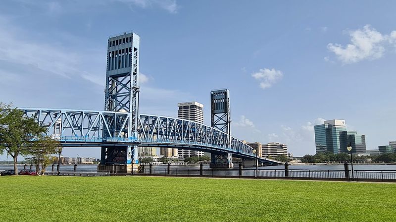
Jacksonville’s 1968 consolidation with Duval County created one of the largest cities by area in the continental United States, with the municipal footprint covering nearly the entire county. The merger streamlined government and gave Jacksonville an enormous territorial reach almost overnight.
Four communities inside Duval County chose not to join: Jacksonville Beach, Atlantic Beach, Neptune Beach, and Baldwin all kept their own independent governments. Visitors driving along the coast may barely notice the transition between broad consolidated Jacksonville and these separate municipalities, since the shift can feel subtle from the road.
10. Honolulu City and County Limits, Honolulu, Hawaii
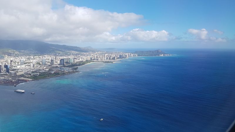
The name Honolulu does two very different jobs depending on which map you consult. The urban neighborhood near Waikiki and downtown is what most visitors picture, but the City and County of Honolulu is a consolidated government covering the entire island of Oahu, roughly 600 square miles of land.
Dense urban blocks, quiet rural farms on the North Shore, and mountainous interior country all fall under the same municipal government. The jurisdiction actually extends beyond Oahu to include several minor outlying islands and most of the Northwestern Hawaiian Islands, making it one of the geographically widest cities on the planet.
11. Augusta City Limits, Augusta, Georgia
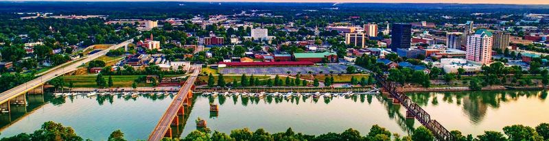
Augusta and Richmond County merged in 1996, creating a consolidated government whose limits now cover the entire former county. The unification was meant to simplify administration and reduce redundancy between overlapping local governments across the region.
However, the cities of Blythe and Hephzibah declined to join, keeping their own municipal charters and governments intact inside the larger consolidated territory. The result is a layered map where a broad city-county surrounds smaller functioning municipalities, with downtown Augusta serving as the obvious center of an official footprint that reaches deep into rural Richmond County.
12. Columbus City Limits, Columbus, Georgia
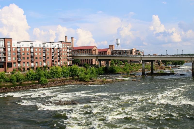
Georgia’s first consolidated city-county government was born in Columbus in 1971, when the city and Muscogee County joined forces and placed the entire 221-square-mile county inside one set of municipal limits. The move was groundbreaking enough that other local governments across the country studied it as a potential model.
The boundary does not stop where neighborhoods thin out. It continues through less developed territory until it meets the old county lines, with the Chattahoochee River marking the western edge with Alabama.
On any map, Columbus looks far more like a county than a conventional city.
13. Virginia Beach City Limits, Virginia Beach, Virginia
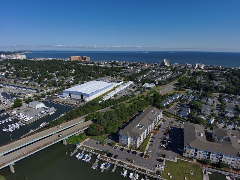
Virginia Beach’s enormous footprint did not happen by accident. The 1963 merger of the old City of Virginia Beach with Princess Anne County was driven partly by a desire to prevent Norfolk from annexing valuable county land, and the resulting territory covers 302 square miles of land and water.
That absorbed county land brought far more than beach resorts and suburban neighborhoods into city limits. Agricultural fields, wetland areas, quiet country roads, and the full Atlantic shoreline now all sit inside one independent Virginia city, giving Virginia Beach an unusually broad mix of landscapes for a place known mainly for its oceanfront.
14. Suffolk City Limits, Suffolk, Virginia
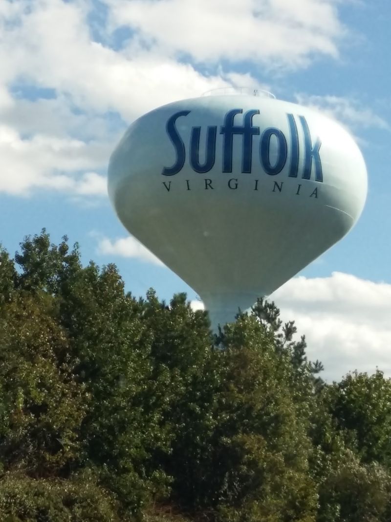
Suffolk became Virginia’s largest city by land area through a 1974 merger that united the former City of Nansemond with the existing City of Suffolk, along with the towns of Holland and Whaleyville. The resulting municipality covers approximately 430 square miles, placing it among the largest cities by area in the entire country.
Driving across Suffolk without crossing its boundary means passing through developed neighborhoods, dense forests, waterways, farms, and open countryside. Portions of the Great Dismal Swamp and extensive waterfront property along the Nansemond and James rivers all exist within a single city jurisdiction that most people outside Virginia have never heard of.
15. Carson City Limits, Carson City, Nevada
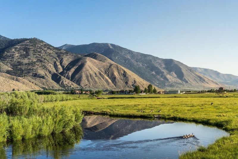
Carson City is Nevada’s state capital, but it operates under a structure that makes it unlike almost any other capital in the country. A 1969 merger approved by statewide referendum dissolved Ormsby County and folded its entire territory into Carson City, giving the city full county-equivalent governmental powers.
That consolidation produced a footprint of roughly 158 square miles that climbs from the developed downtown area into rugged Sierra Nevada terrain. The municipal boundary reaches all the way to the California-Nevada state line at Lake Tahoe and includes Sierra Nevada peaks reaching over 9,000 feet in elevation.
16. Anchorage Municipal Limits, Anchorage, Alaska
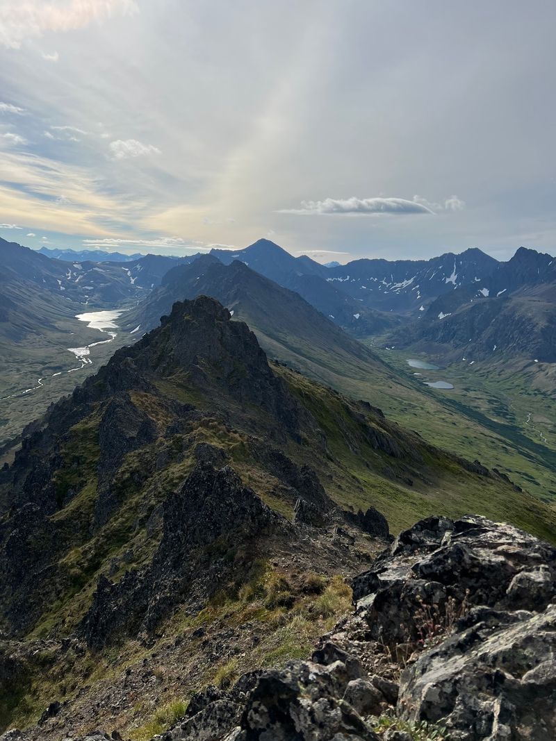
Anchorage’s official boundary covers approximately 1,961 square miles, a number that becomes more startling when you realize the urban area most visitors see represents only a fraction of that territory. The current municipality was formed in 1975 when the City of Anchorage merged with the Greater Anchorage Area Borough and several surrounding communities.
Girdwood, a mountain resort town surrounded by glaciers and nestled in the Chugach Mountains, sits fully inside Anchorage’s municipal limits. The same government that manages downtown towers and suburban streets is also responsible for vast wilderness terrain that sees almost no development at all.
17. Juneau City and Borough Limits, Juneau, Alaska
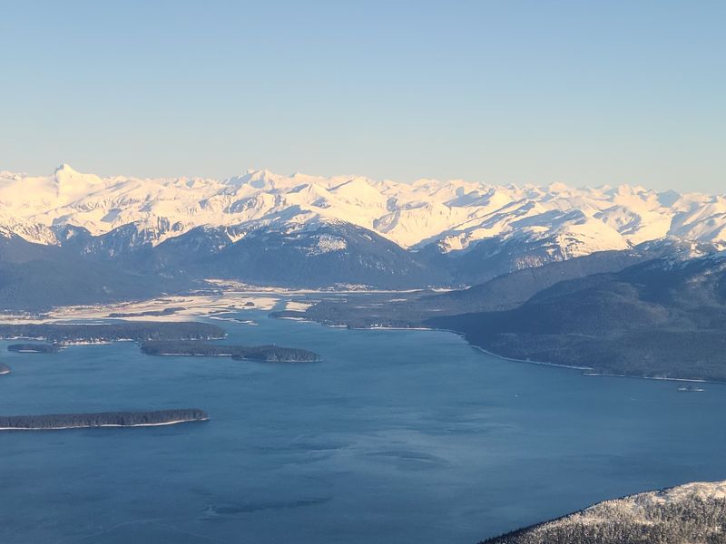
Juneau ranks as the second-largest municipality in the United States by area, with a boundary covering 3,255 square miles of Southeast Alaska. The City and Borough of Juneau was formed on July 1, 1970, bringing an enormous sweep of coastal and mountain terrain under a single unified government.
About 580 square miles of the borough’s total area consists entirely of glacial ice, roughly 18 percent of the whole municipality. The Juneau Icefield, from which around 30 glaciers flow, lies within city limits, making Juneau likely the only American city where a significant share of the official map is literally glacier.
18. Sitka City and Borough Limits, Sitka, Alaska
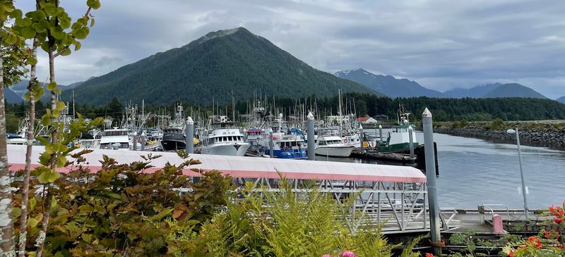
Sitka holds the title of the largest city by total area in the entire United States, with a boundary covering more than 4,800 square miles. The City and Borough was consolidated in 1971 from the former City of Sitka and the Greater Sitka Borough, creating one governmental corporation of remarkable scale.
Within those limits lie islands, mountain ranges, dense forest, saltwater fjords, active glaciers, and vast sections of the Tongass National Forest. The actual inhabited town of Sitka, with its picturesque waterfront streets, occupies a tiny portion of a municipal territory so large that the word “city” feels like a significant understatement.
19. Yakutat City and Borough Limits, Yakutat, Alaska
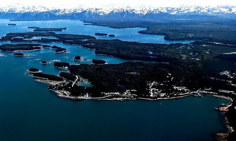
Yakutat may be the most jaw-dropping entry on this entire list. The U.S.
Census Bureau records its land area at more than 7,628 square miles, a figure that dwarfs entire American states, yet the population consistently hovers only in the hundreds of people.
The present boundaries took shape after residents dissolved the old small city and created a home-rule city and borough in 1992, followed by further annexation later that decade. Inside those limits sits Hubbard Glacier, North America’s largest tidewater glacier, along with coastal wilderness, mountain ranges, and multiple bays.
The compact settlement of Yakutat occupies an almost invisibly small corner of its own enormous municipal territory.
Share this story