Most people visit a lake for the view, the swim, or the quiet. But some of America’s most famous lakes are hiding something far more interesting just below the surface.
From sunken towns and World War II relics to volcanic vents and evolutionary fish experiments, these waters hold stories that most visitors never think to look for. This list covers 16 U.S. lakes where the real intrigue goes much deeper than the shoreline, and each one gives you a reason to look at the water a little differently.
Lake Mead, Nevada and Arizona
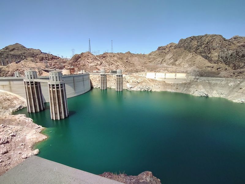
Before Lake Mead existed, a real town stood where the water is now. St. Thomas, Nevada, was a working settlement along the Muddy River until Hoover Dam flooded it out in the 1930s.
Residents left behind foundations, streets, and buildings that sank beneath more than 60 feet of water at the lake’s highest point.
Decades later, dropping water levels brought St. Thomas back into view. Visitors can now hike through the exposed ruins, walking streets that were underwater living memory ago.
The recreation area is open 24 hours a day, though some trails carry seasonal heat closures during summer months.
Lake Mead also holds a B-29 Superfortress bomber that went down in 1948, resting on the lakebed as one of the more unusual pieces of Cold War-era history in the American West. Few lakes anywhere carry this much layered history in one place.
Lake Tahoe, California and Nevada
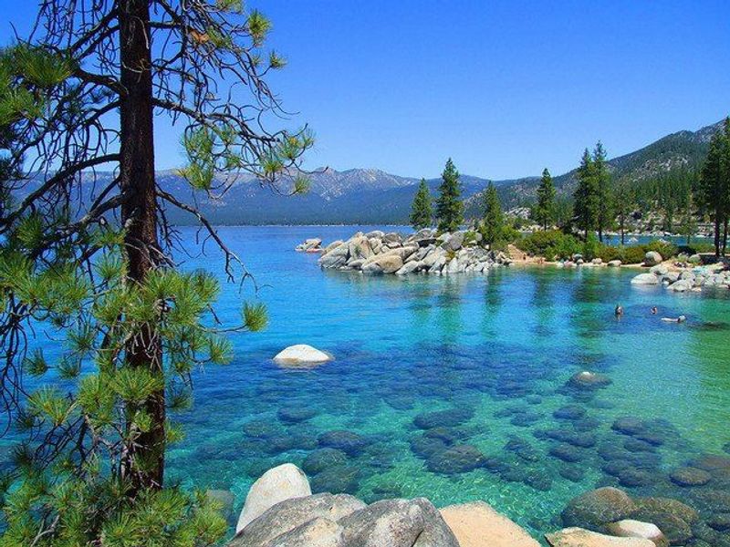
Emerald Bay looks like a postcard from the surface, but California State Parks created an entire underwater trail beneath it. The Emerald Bay Maritime Heritage Trail protects a collection of historic boats, barges, and launches that date back to the resort era of the 1920s and 1930s.
Some of these vessels were used to haul lumber, vehicles, and construction materials around the lake. Others are tied directly to the history of the Emerald Bay Resort.
Four underwater sites have interpretive panels installed specifically for divers, giving the experience a museum-like structure without a building.
State Parks describes the collection as an unusually large and diverse group of historic small watercraft still resting in their original locations. That detail matters because most historic boats end up raised, salvaged, or scattered.
These stayed put. The underwater area remains accessible to divers subject to normal conditions and weather.
Yellowstone Lake, Wyoming
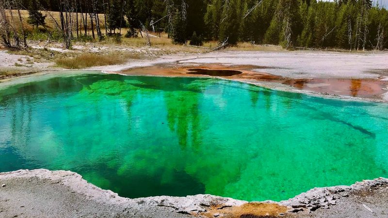
Yellowstone’s volcanic activity does not stop at the water’s edge. Scientists mapping the bottom of Yellowstone Lake found an extraordinary hidden world filled with hydrothermal vents, craters, fissures, and towering silica spires connected to the same volcanic system driving the park’s famous geysers.
Researchers have documented hundreds of hydrothermal features below the lake’s surface. One underwater canyon reaches roughly 390 feet deep.
Temperature measurements near a hydrothermal feature in Mary Bay once recorded water at approximately 252 degrees Fahrenheit, which is remarkable considering the lake itself averages only about 41 degrees Fahrenheit overall.
That contrast is hard to fully picture. Near-freezing water surrounds an active geothermal landscape hidden far below.
Yellowstone Lake is already one of the largest high-elevation lakes in North America, but the underwater geology makes it one of the most scientifically unusual bodies of water on the continent.
Crater Lake, Oregon
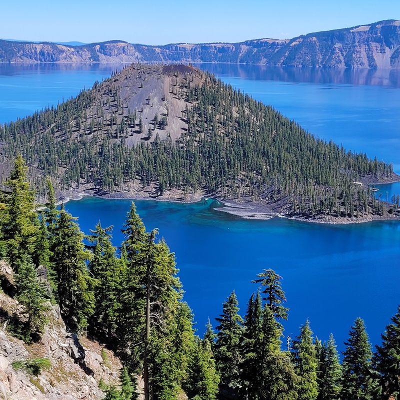
Crater Lake formed from a catastrophic volcanic collapse roughly 7,700 years ago, but the story did not end there. Two formations inside the caldera tell a second chapter that most visitors walk right past.
Phantom Ship is a jagged island of erosion-resistant lava whose narrow rock spires, from certain angles, resemble the outline of a small sailing vessel on open water.
Wizard Island is even more geologically dramatic. The forested cone rising from the lake is actually a cinder cone that grew after the original eruption and collapse, meaning the lake itself is younger than the island sitting inside it.
Crater Lake National Park stays open year-round, though heavy snowfall makes full access highly seasonal. As of September 2026, Rim Drive and major visitor areas are open.
The Cleetwood Cove Trail is currently closed for a major construction project, which means direct lake access through that route is not currently available.
Mono Lake, California
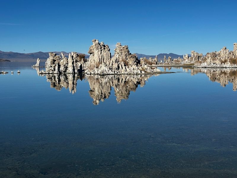
Mono Lake’s shoreline looks like something from another planet, and the geology behind it is just as strange as the appearance. The pale limestone towers rising from and around the water are called tufa, and they formed when calcium-rich freshwater springs met the lake’s carbonate-rich water underground.
The reaction gradually built limestone structures over long periods of time. Many of these formations developed entirely underwater and only became visible as the lake level dropped across the twentieth century.
The exposure of the tufa is actually a record of how much water the lake has lost.
Mono Lake Tufa State Natural Reserve is open for day use from sunrise to sunset. As of late September 2026, the reserve itself remains accessible, though the boardwalk at County Park is temporarily closed because of the Inn Fire.
Other areas of the reserve are open, making a visit still very much worthwhile for the landscape alone.
Lake Crescent, Washington
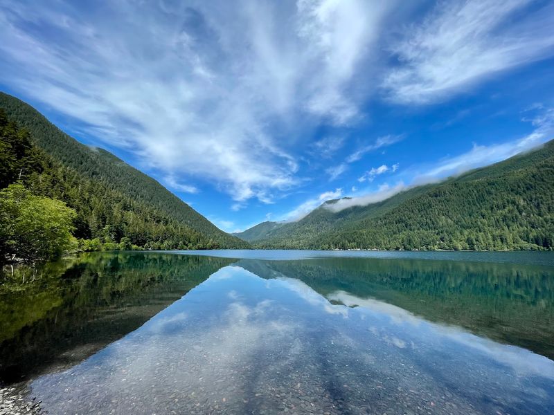
About 7,000 years ago, a massive landslide sealed Lake Crescent off from the surrounding river system. That geological event turned out to be one of the most consequential moments in the lake’s biological history.
The isolation eventually produced two trout populations found nowhere else: the Beardslee rainbow trout and the Crescenti cutthroat trout.
The lake essentially became an evolutionary island for fish, with each population adapting separately over thousands of years. The water is deep and glacially carved, with visibility that makes the lake feel almost impossibly clear on calm days.
Olympic National Park manages the Lake Crescent area, and multiple trails give visitors access to the shoreline and surrounding forest. Popular routes include the path toward Marymere Falls and the Spruce Railroad Trail.
As of September 2026, the Lake Crescent area, boat launches, and major trails remain open, though some individual facilities operate on a seasonal schedule. No diving required to appreciate this one.
Lake Huron, Michigan
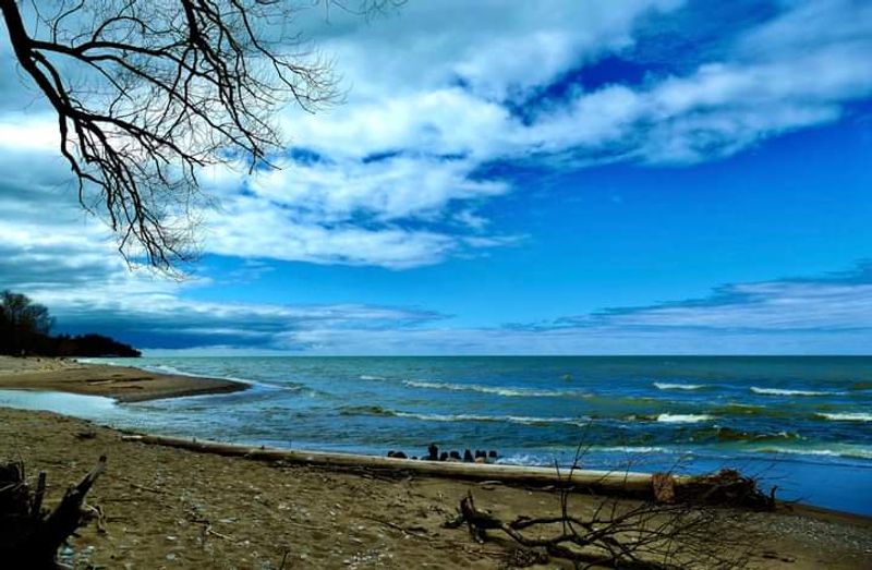
Thunder Bay National Marine Sanctuary sits in a stretch of Lake Huron that was once one of the most dangerous passages in the Great Lakes. More than 50 shipwrecks within the sanctuary are marked with mooring buoys, ranging from wooden sailing vessels to steel steamships that represent roughly two centuries of Great Lakes maritime history.
Divers can explore many sites directly, but the story is fully accessible without scuba gear. Alpena’s Great Lakes Maritime Heritage Center offers more than 10,000 square feet of exhibits covering the wrecks, the history of the passage, and what life on these ships actually looked like.
The center even includes experiences designed to help visitors visualize what rests on the lakebed.
The center is open year-round, and admission is free. Few places in the Midwest give you this much maritime history in one building, let alone with a lake full of real wrecks just outside.
Lake Champlain, Vermont and New York
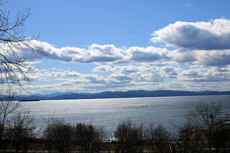
Lake Champlain has been a military corridor, a trade route, and a commercial waterway across several centuries of American history. All of that activity left a substantial archaeological record on the lakebed.
Ships from different eras of American history went down in these waters, and many have been carefully preserved and documented.
Several wrecks are now part of Vermont’s Underwater Historic Preserves, which are open to certified scuba divers from May through October each year. The program protects the sites while keeping them accessible to divers who want to explore them firsthand.
The Lake Champlain Maritime Museum rounds out the experience for visitors who prefer to stay dry. Its exhibits cover shipwrecks, canal boats, and the broader regional history of the lake.
The museum’s 2026 season runs through October 18, with the campus open daily from 10 a.m. to 4 p.m. Admission is free, making this one of the more generous cultural stops in the Northeast.
Lake Superior, Wisconsin
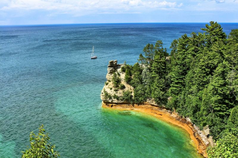
The Apostle Islands are already one of Wisconsin’s most photographed destinations, but the sea caves along the mainland shore carry a geological story that goes beyond good scenery. Centuries of waves, freezing, and thawing have carved extensive chambers into the sandstone cliffs, creating arches, narrow passages, and vaulted interiors that shift with every season.
In summer, sea kayakers can reach some of the formations when lake conditions are calm enough to paddle safely. Winter occasionally transforms the caves into something even more dramatic, with spray and groundwater freezing into elaborate formations on the rock walls.
Walking across frozen Lake Superior to reach them is genuinely rare, though. The National Park Service tracked mainland ice cave access between 2000 and 2023 and found conditions suitable on only about 2 percent of days.
The caves briefly opened for one day in 2026 before conditions shifted again. Apostle Islands National Lakeshore itself remains open year-round for visitors.
Lake Pend Oreille, Idaho
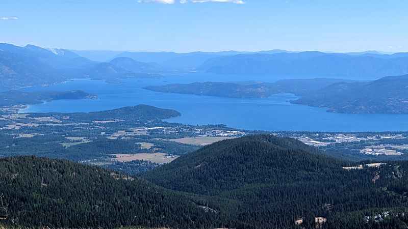
Lake Pend Oreille is one of Idaho’s largest and deepest lakes, drawing visitors for boating, fishing, and mountain scenery. What the peaceful setting doesn’t immediately suggest is that the forested land around the lake’s southern end once housed thousands of U.S.
Navy recruits during World War II.
Today’s Farragut State Park sits on the site of that massive naval training station. The 4,000-acre park preserves pieces of that history, including the Museum at the Brig, which interprets the base’s wartime role and the scale of the operation that once ran here.
That combination of outdoor recreation and military history makes the park genuinely different from a standard Idaho lake destination. Day-use areas are generally open from 7 a.m. to 10 p.m.
The Museum at the Brig operates seasonally, traditionally from Memorial Day through Labor Day. Visitors who time it right get both the lake and a history lesson that most people driving through Idaho would never expect to find here.
Lake Jocassee, South Carolina
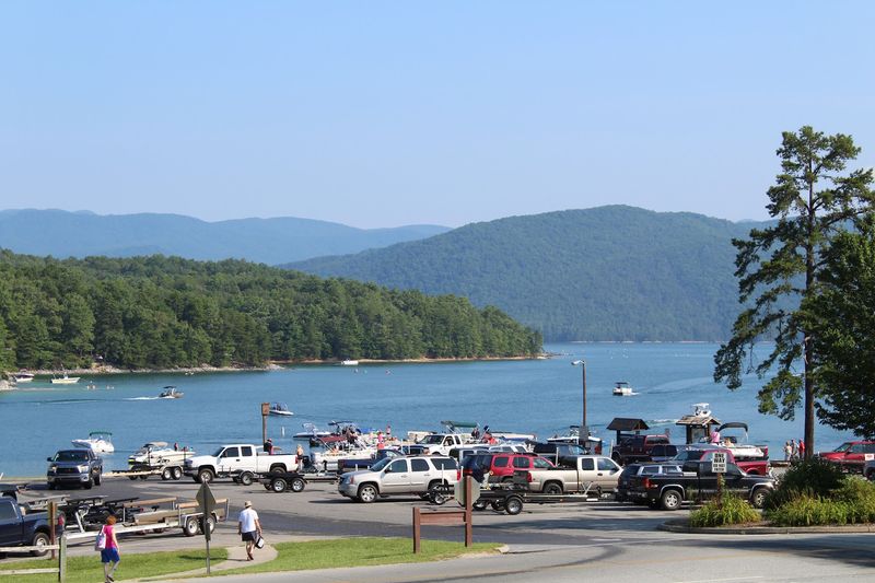
Lake Jocassee is the kind of place that rewards people who show up by boat. Several of the lake’s most striking waterfalls are tucked into remote coves that have no trail access, no overlook, and no roadside pullout.
Devils Fork State Park is straightforward about this: the waterfalls on Lake Jocassee require water access to reach.
That detail filters out a lot of casual visitors and makes the experience feel genuinely earned for those who make the trip. The lake itself is unusually clear and sits within the rugged Jocassee Gorges, fed by four mountain streams that keep the water cool even in summer.
Devils Fork State Park is the primary public entry point for Lake Jocassee and is open daily. Boats, kayaks, and other seasonal rentals are available through the park’s concessionaire, so visitors without their own watercraft still have options.
Few lakes in South Carolina offer this combination of clarity, mountain scenery, and waterfall access.
Great Salt Lake, Utah
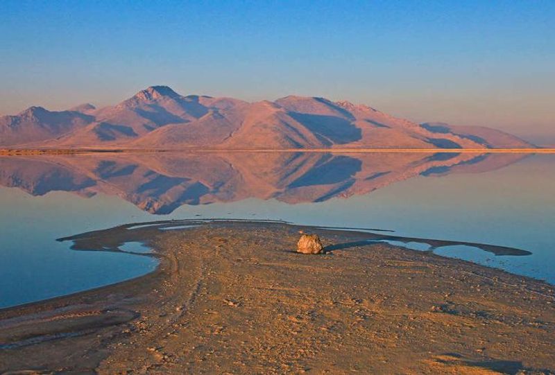
Great Salt Lake is famous for being too salty to support most life, which makes what lives on Antelope Island all the more unexpected. The island in the middle of the lake supports one of the country’s best-known public bison herds.
Twelve bison were introduced in 1893, and the modern herd generally ranges between 550 and 700 animals.
Pronghorn, mule deer, and bighorn sheep also live on the island. Even more surprising, Antelope Island contains more than 40 freshwater springs despite being entirely surrounded by saltwater.
That combination of wildlife and fresh water in the middle of a hypersaline lake is the kind of ecological contradiction that takes a moment to fully register.
Antelope Island State Park is currently open with more than 45 miles of trails for hiking and biking. The main boat ramp is closed because of low lake levels, so visitors should check current conditions before planning any water-based activities.
The wildlife viewing, however, remains fully accessible.
Lake Michigan, Michigan
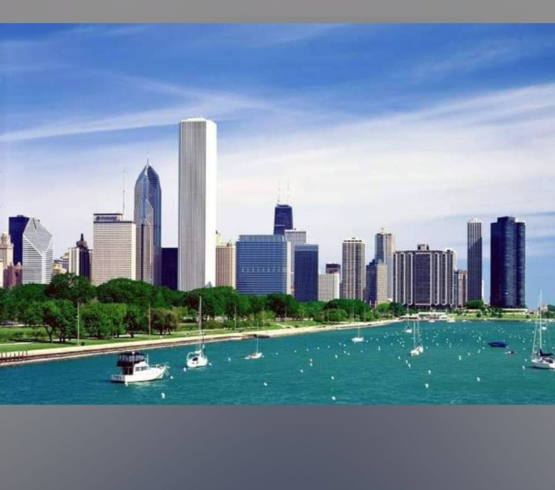
Manitou Passage sits between the Manitou Islands and the Michigan mainland, and for early Great Lakes sailors it was a genuinely hazardous stretch of water. The bottom of the passage holds multiple shipwrecks that are now protected under Michigan’s Manitou Passage Underwater Preserve.
Among the most accessible is the Three Brothers, a 160-foot steam barge that grounded on South Manitou Island in 1911. Part of the wreck lies in only about seven feet of water, which puts it within range of snorkelers and boaters on calm days, not just divers.
The Francisco Morazan, which grounded during a 1960 snowstorm, is another shallow wreck visible near South Manitou Island’s shore.
Michigan protects these sites as public archaeological resources. Visitors are welcome to explore and photograph the wrecks, but removing artifacts is prohibited.
That policy keeps the sites intact for every future visitor, which is part of why the Three Brothers still looks as recognizable as it does more than a century after it went down.
Lake Ouachita, Arkansas
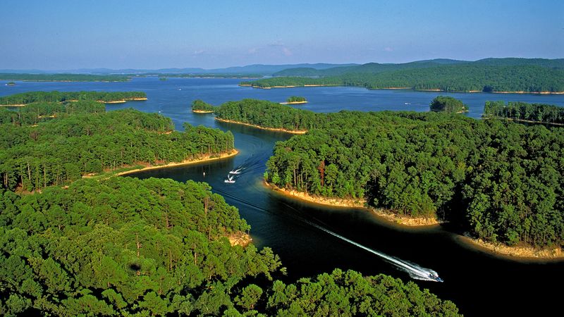
Arkansas doesn’t always come up in conversations about great lake destinations, but Lake Ouachita makes a strong case. The lake covers 40,000 acres of remarkably clear water inside Ouachita National Forest, and its irregular shoreline creates dozens of quiet coves that feel genuinely remote even on busy weekends.
Kayaking is one of the better ways to explore those coves, and the park runs kayaking programs during spring and summer for visitors who want a guided introduction. Scuba diving is also permitted, which is an option rarely associated with Arkansas lake trips but one that the clear water supports well.
Lake Ouachita State Park also operates boat tours throughout the year.
The destination runs year-round without much interruption. The visitor center is open daily, camping and picnic areas operate in every season, cabins are available throughout the year, and interpretive programs continue regardless of the time of year.
It is more active and more varied than its relatively low national profile would suggest.
Flathead Lake, Montana
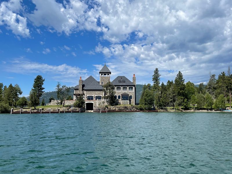
Wild Horse Island sits in the middle of Flathead Lake and can only be reached by boat, which is fitting for a place with a history rooted in keeping animals safe from people on the shore. According to Montana Fish, Wildlife and Parks, the Kootenai people were reported to have used the island to pasture horses where they would be harder for rival groups to steal.
The island’s name reflects that practical history.
Today the 2,160-acre island supports bighorn sheep, mule deer, bald eagles, and a small population of wild horses. The wildlife combination alone makes the trip worthwhile, but the setting on Montana’s largest natural freshwater lake adds to it.
Wild Horse Island State Park is open year-round for day use. There is no camping and no public dock, so visitors need to arrange their own boat transportation and use one of six designated landing areas.
The effort involved keeps the island from feeling crowded, which is part of its appeal.
Lake Powell, Utah and Arizona
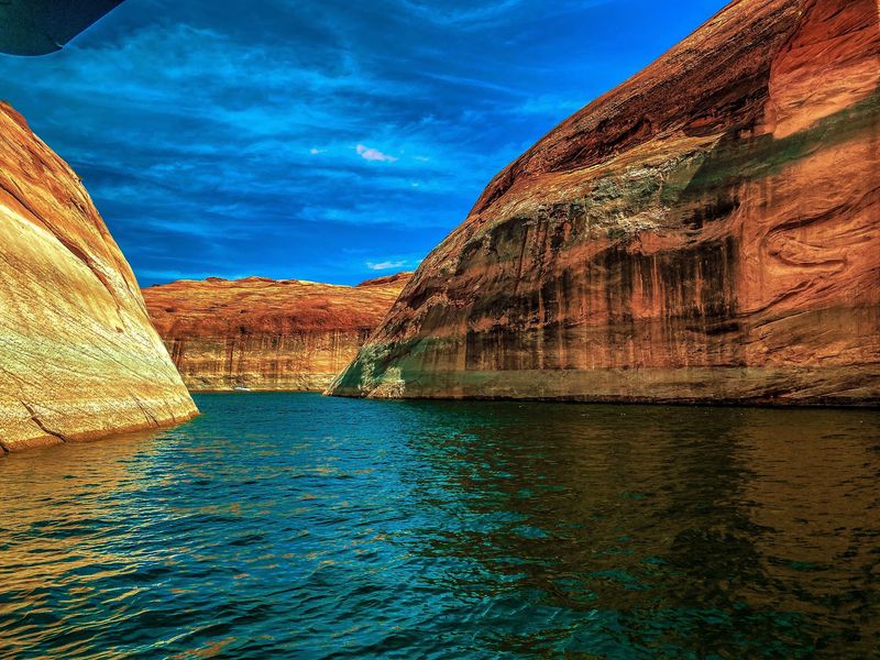
Lake Powell doesn’t have a fixed landscape. When Glen Canyon Dam was completed and the reservoir filled, it covered side canyons, rock formations, and stretches of the former Colorado River that had existed for millions of years.
As water levels rise and fall, features that were submerged can reappear, and access routes that existed one season may not exist the next.
That ongoing change makes Lake Powell unlike almost any other destination in the country. A boat ramp that worked last year may be stranded above the waterline this year.
Beaches and canyon passages can appear or disappear depending on where the reservoir sits at any given time.
As of September 2026, the National Park Service confirmed that Lake Powell remains open for water-based recreation. Launch access is maintained at locations including Bullfrog, Stateline, and Antelope Point, though conditions can shift.
Checking current water levels before launching is not optional here, it is genuinely necessary for planning a safe and successful trip.
Share this story