Ever followed your GPS with total confidence, only to end up facing a brick wall, a staircase, or a street that changed its name halfway down the block? You are far from alone.
Across America, some towns have road layouts that leave visitors circling, backing up, and laughing at themselves. Some streets follow river bends.
Others cling to mountainsides or were drawn by planners who never pictured a modern car. A few grew without any plan at all, one lane at a time.
The results include squares that break up every route, circles with no obvious exit, and roads so steep that a short trip feels like a hike. Here is the good news.
Every one of these towns is fun to explore once you know what to expect. Ahead, you will find fourteen places, each with its own quirky street story, real history behind the confusion, and practical tips for parking, walking, and keeping your cool.
Buckle up, slow down, and get ready to meet the towns that make navigation an adventure.
1. Boston, Massachusetts
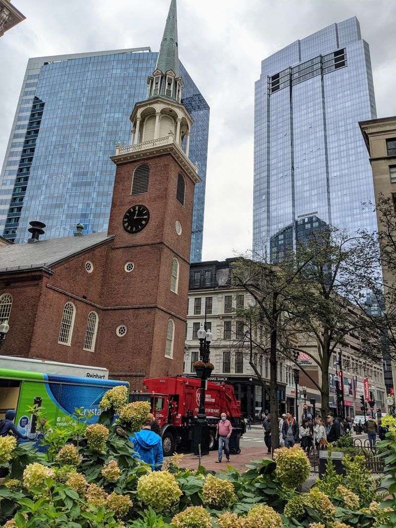
Cows get blamed for Boston’s crooked streets, but the story is a myth. The real cause is a tiny hilly peninsula with coves and marshes that early settlers had to work around.
Later, the city tripled its land by filling in marshes. Back Bay and the South End got tidy grids that crash into the older tangled ones.
Streets also change names without warning. King Street became State Street and Queen Street became Court Street after the Revolution.
Some intersections are tricky even for locals. Columbus Avenue in Back Bay has six-way crossings, and Storrow Drive offers left turns where one wrong pick means a long detour.
Boston ranked fourth for congestion in 2024, with drivers spending about 79 hours in traffic. Keep a live map open and expect surprise one-way signs.
2. Pittsburgh, Pennsylvania
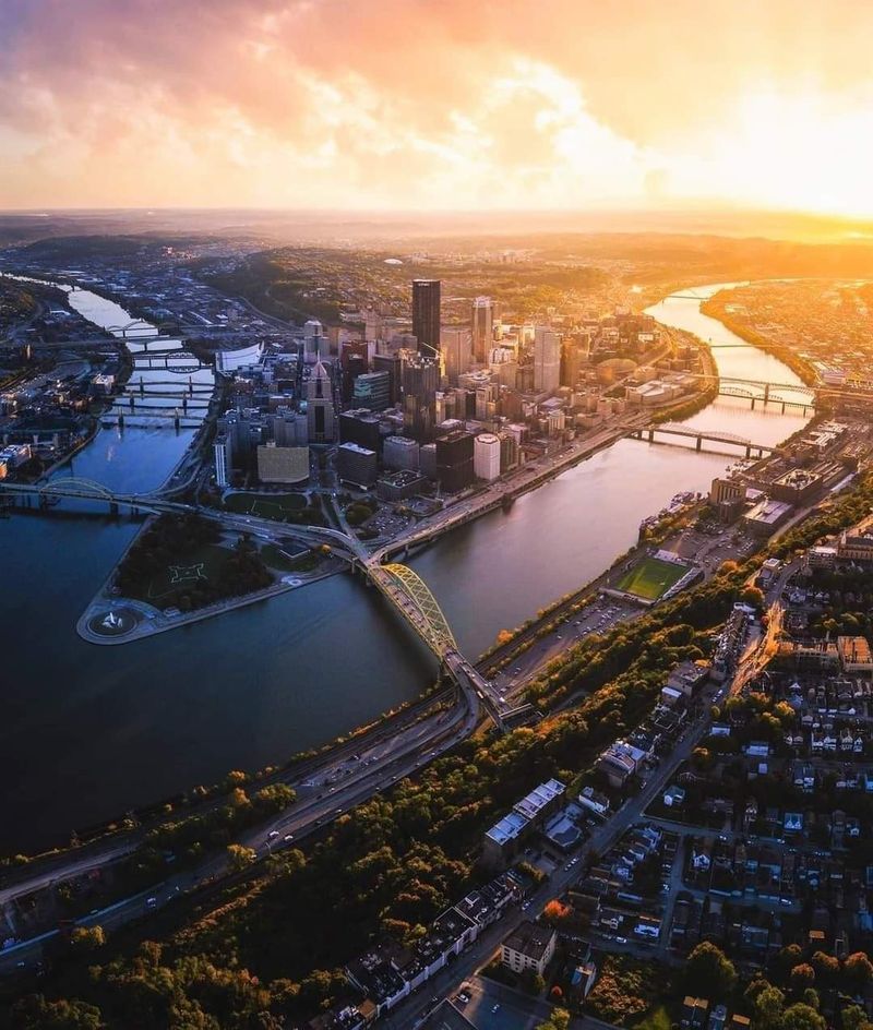
Three rivers, many hills, and hundreds of bridges make Pittsburgh a real puzzle. Downtown was laid out as two separate grids, one along each river, and they collide at Liberty Avenue.
Streets that should run side by side suddenly angle into each other. A numbered street can turn into a numbered avenue right there.
The city has over 400 bridges and more than 800 public staircases, some legally counted as streets. Canton Avenue has a 37 percent grade, one of the steepest in the country.
Leaving the Fort Pitt Tunnel, drivers face several lanes of merging traffic within a few hundred feet.
Then there is the Pittsburgh Left, where the first car turns before oncoming traffic. Watch for it and stay alert.
3. Washington, D.C.
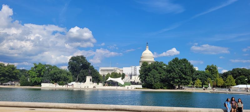
Pierre L’Enfant drew a grid in 1791 and then sliced it with diagonal avenues. Those avenues carry state names and meet at circles and squares.
The Capitol splits the city into four quadrants, so the same address can exist in each one. Always check whether you need NW, NE, SW, or SE.
Lettered streets skip J, X, Y, and Z. Original B streets became Constitution and Independence Avenues.
The circles were planned as grand public spaces, not traffic machines. Dupont Circle and Washington Circle ask drivers to make quick choices about lanes and signals.
A famous trouble spot at New York and Florida Avenues NE, nicknamed Dave Thomas Circle, had 224 crashes from 2015 to 2020. It is now being reconfigured.
4. New Orleans, Louisiana
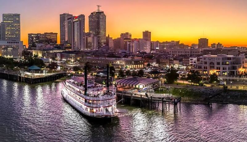
Ask a local for directions and you may hear “upriver” or “lakeside.” Nobody says north or south, because the Crescent City follows a big bend in the Mississippi.
Riverside means toward the river and lakeside means toward Lake Pontchartrain. Downriver heads toward the French Quarter and upriver heads Uptown.
Canal Street once split the Creole city from the American sector. It is named for a canal that was never built, and its wide median is still called the neutral ground.
Street names add flavor. Tchoupitoulas honors a lost tribe, and Uptown has streets named for Greek Muses like Calliope and Clio.
Potholes, detours, and parade closures add more twists. Leave extra time and keep a backup route handy.
5. Savannah, Georgia
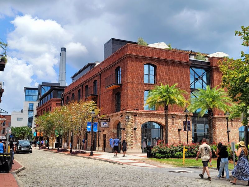
Savannah looks simple on paper. James Oglethorpe laid out a grid in 1733 and dotted it with public squares, 22 of which survive today.
Behind the wheel, the squares interrupt nearly every route. Drivers slow down, yield to traffic circling counterclockwise, and often make three turns to keep going straight.
One-way streets fill downtown and can turn a short trip into a detour. GPS apps sometimes lose track of them.
Preservation has its own story here. Ellis Square was paved over for a parking garage in 1954, which sparked the Historic Savannah Foundation.
The square returned in 2010.
Park once and walk. Pedestrians have the right of way, and the squares are best enjoyed on foot.
6. Annapolis, Maryland
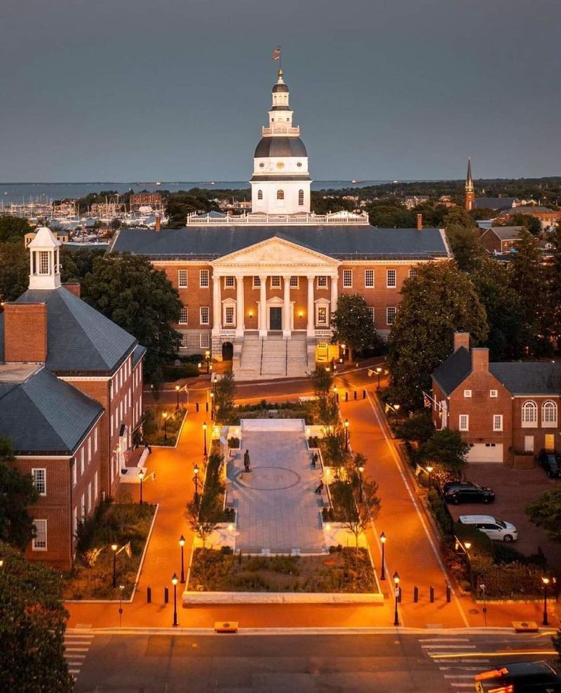
Governor Francis Nicholson skipped the grid in 1695. His baroque plan put the Maryland State House and St. Anne’s Church at the center of two big circles, with streets fanning outward.
State Circle is 528 feet across and Church Circle is 340 feet. Roads entering State Circle sit in a pinwheel pattern, so none point straight at the middle.
The odd angles left triangular and trapezoid lots. Many buildings sit slightly askew to the street.
The circles are old rotaries, not modern roundabouts, so right-of-way rules can puzzle visitors.
Add narrow lanes and many one-way blocks, and a small downtown feels bigger. Parking is limited and pricey, so use a garage and explore on foot.
7. Providence, Rhode Island
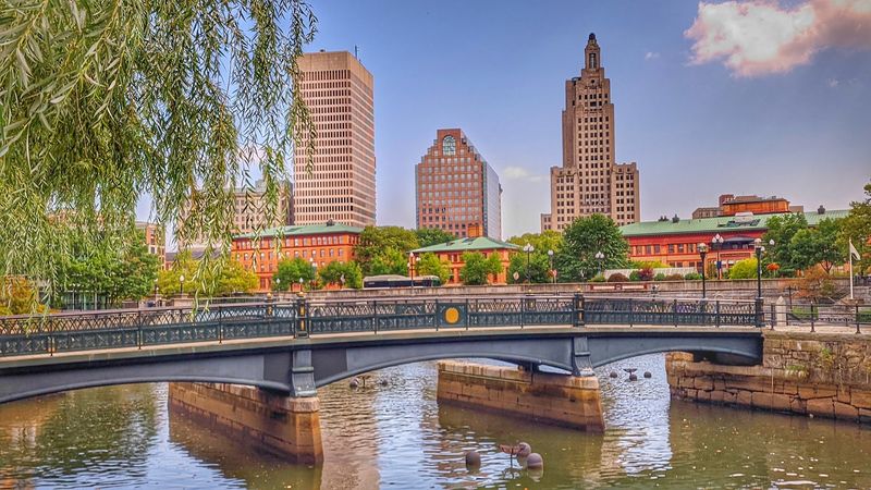
Nobody drew Providence all at once. Roger Williams founded it in 1636, and streets grew around rivers and old paths for centuries.
Downtown roads meet at odd angles, and some rivers now run buried beneath the pavement. Neighborhoods like Federal Hill and Olneyville offer a web of possible routes.
The city is small, which can fool you. A place that looks close may need a loop around one-way streets and bridges.
Highways add drama. The Route 10 interchange is nicknamed the Spaghetti Bowl, and the I-95 corridor often backs up during construction.
Providence is working on a Vision Zero plan and Great Streets projects. Until those catch up, allow extra time and study your route first.
8. Charleston, South Carolina
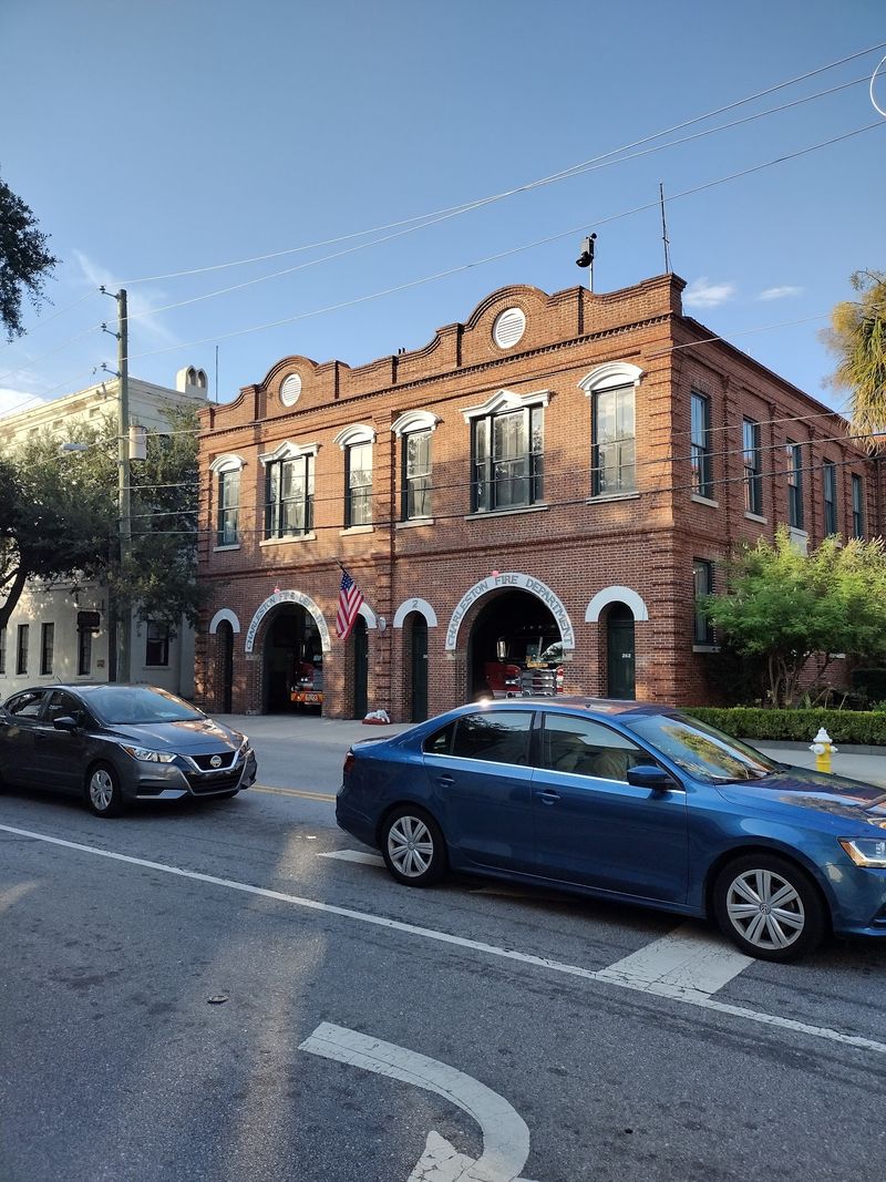
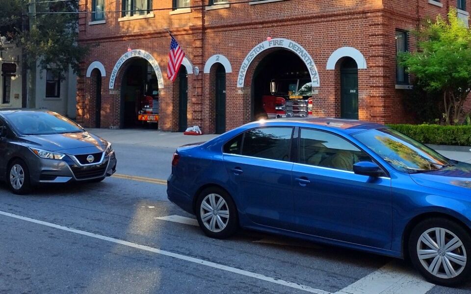
Charleston sits on a slim peninsula between two rivers, and its streets were built for horses and carriages. Cars parked on both sides can leave barely enough room for two vehicles to pass.
Founded in 1670, the town grew along natural contours and early land grants instead of a grid. Old maps were often wrong, so people navigated by landmarks like church steeples.
One-way streets like Spring, Cannon, and Rutledge can tempt drivers to speed. The city has been studying changes back to two-way traffic.
Parking is scarce, and residential permits are enforced downtown. Circling the block only adds to the traffic.
A garage plus the free DASH shuttle is the easy move. Cobblestones on Chalmers Street and Adger’s Wharf are a bumpy bonus.
9. St. Augustine, Florida
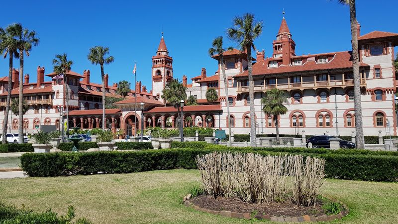
Spain founded St. Augustine in 1565, which makes it the oldest continuously occupied European-established city in the continental U.S. Its layout follows Spanish colonial rules that centered a town on a plaza.
Blocks are small and streets are narrow, built for walkers, horses, and carts. Many old buildings sit right at the street line.
St. George Street is pedestrian-only, so drivers have to go around it. Aviles Street is the oldest platted street in the country.
Treasury Street is just over six feet wide. Local legend says thieves were the reason, though early building habits are the likelier cause.
Traffic spikes in summer and around holidays. The 1,200-space downtown garage and the free STAR Circulator bus keep things simple.
10. Santa Fe, New Mexico
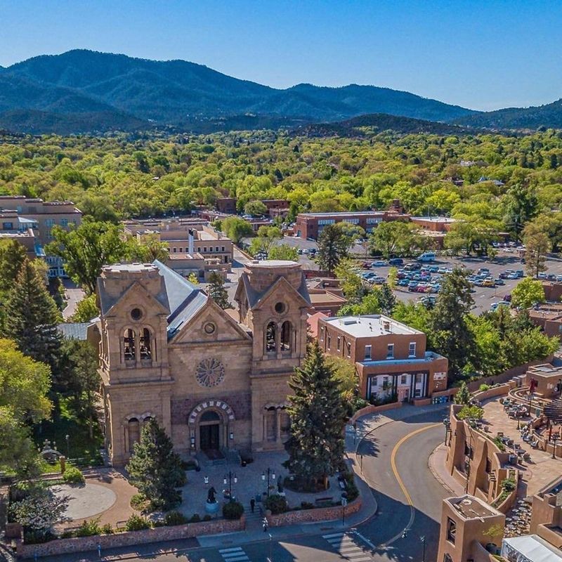
Missed your turn near the Plaza? Do not count on an easy loop back.
The historic core is a tangle of narrow one-way streets that can carry you away from your goal.
Santa Fe is the oldest capital city in the U.S., founded in 1610. Its paths grew from Indigenous trails, Spanish colonial planning, and irrigation ditches called acequias.
Some small streets look like shortcuts on a map but end at an adobe wall. Certain lanes are bus-only, and fines can follow.
Big events like Indian Market, Spanish Market, and Zozobra close whole blocks and turn streets into walkways.
Parking is scarce near the center. Use a perimeter lot such as the Railyard and walk in.
11. Bisbee, Arizona
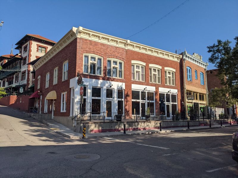
Bisbee has more than 350 sets of public stairs, and some homes can only be reached by them. Residents haul groceries up the steps, and mail is picked up at the downtown post office.
The town began as a copper camp in 1880 and was squeezed into Mule Mountains canyons. Buildings went up wherever a ledge was wide enough, so there is no grid at all.
Many of the stairs were built by the WPA in 1938. Some still carry the original stamps.
Roads are narrow, steep, and sometimes single-lane yet open both ways. Two spots that look next door can be a long drive apart.
Park in a public lot near the post office and walk. A shuttle is available if your legs need a break.
12. Eureka Springs, Arkansas
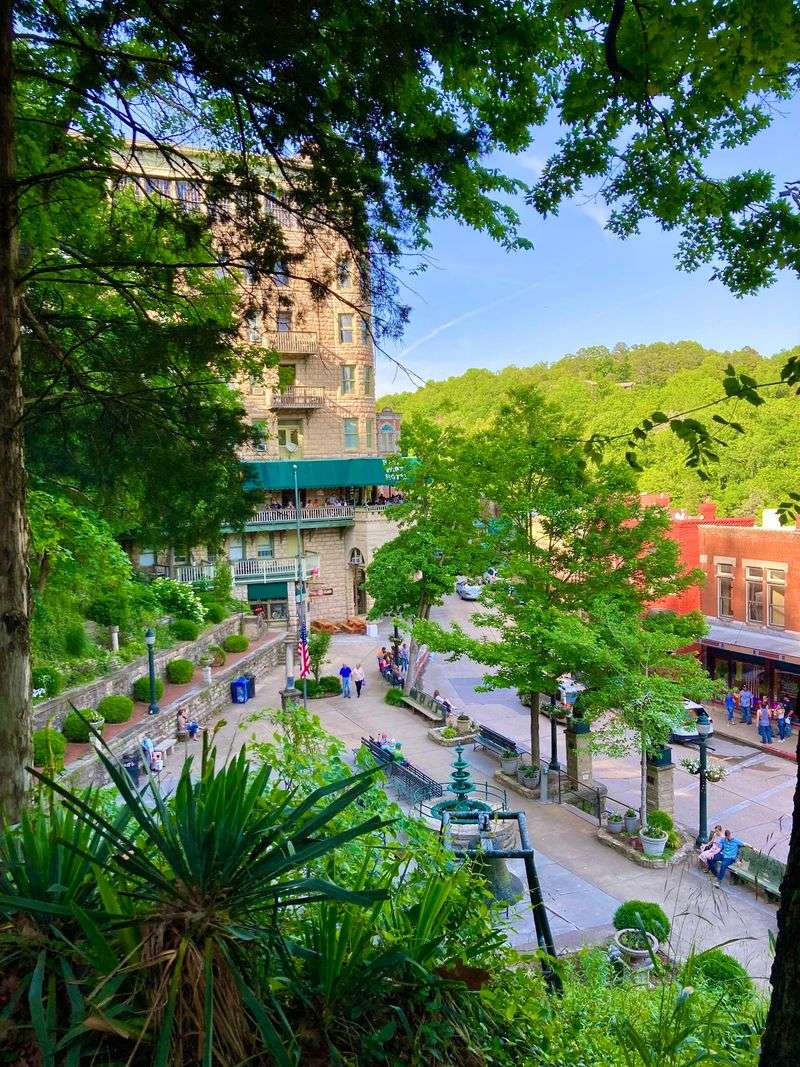
Try finding a right angle downtown. No two streets in Eureka Springs meet at 90 degrees, so square blocks simply do not exist.
The town sits on 20 steep hills split by 19 ravines, with more than 60 springs. It earned nicknames like The Stairstep Town and Little Switzerland of the Ozarks.
There are no traffic lights. Blind curves, hidden driveways, and steep grades that can cause brake fade keep drivers focused.
Buildings can have street-level doors on more than one floor. The Basin Park Hotel has a front entrance low down and a ground-level exit on the fifth floor.
Underground Eureka is a hidden layer left when Main Street was raised after flooding. Park at a Park and Ride lot and take the trolley.
13. Jerome, Arizona
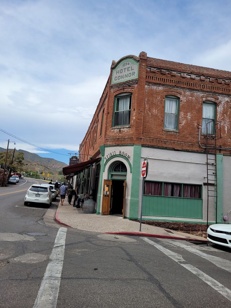
Jerome calls itself America’s Most Vertical City, and the roads prove it. The town sits above 5,000 feet on Cleopatra Hill, with streets stacked in tiers.
Copper miners founded it in 1876, and the population reached about 15,000 in the 1920s. Roughly 88 miles of old tunnels lie beneath it, which is why parts of town have slid downhill.
The famous Sliding Jail moved 225 feet after a 1930 blast. It ended up partly in the street and is now a stop for visitors.
Highway 89A climbs with hairpin turns and grades up to 12 percent. RVs larger than truck campers should skip it.
Parking is tight with over a million visitors a year. Leave the car and enjoy the Verde Valley views on foot.
14. Jim Thorpe, Pennsylvania
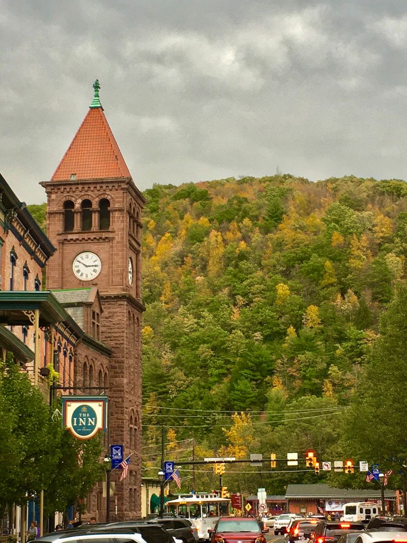
Two boroughs merged in 1954 and took the name of an Olympic athlete who never lived there. Jim Thorpe, once called Mauch Chunk, had been a rich coal transport hub since 1818.
Coal money paid for the Victorian buildings that fill downtown today. They are squeezed into a narrow Lehigh Gorge valley between steep mountains.
Broadway climbs and curves, often with cars parked on both sides. Few streets run straight, and buildings are set into the hillsides.
The Fall Foliage Festival in October brings what locals call trafficgeddon. Police may reroute cars or close parts of town.
Arrive early or use satellite lots with shuttles, such as Mauch Chunk Lake Park. Once parked, the compact core is easy to walk.
Share this story