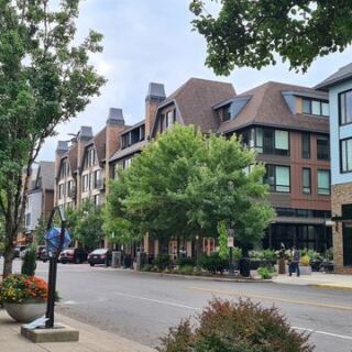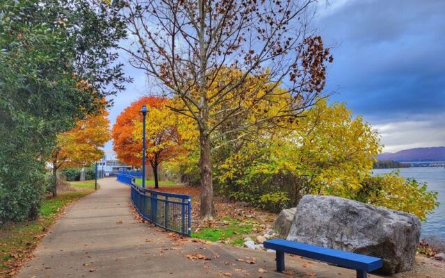
Some trails announce themselves with big signs and bigger crowds, but this one just quietly follows the water and lets you figure out how good it is. A short walk turns into a long ride, then a lunch break, then one more mile because the river keeps curving into new views.
Tennessee has plenty of famous outdoor spots, yet this paved path along a river proves the best ones can sit right in the middle of a city. Keep reading to learn where it runs, what you will find along the way, and the smart parking trick locals use.
A Riverside Ribbon Through Chattanooga
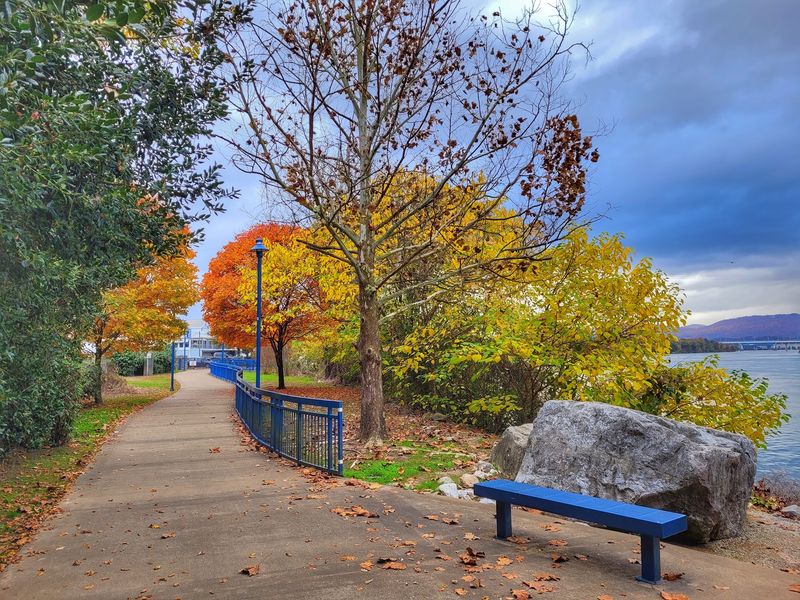
Start with the basics. The Tennessee Riverwalk is a paved walking and cycling trail in Chattanooga, TN, in the United States, and it hugs the Tennessee River for a long stretch of the city.
It is officially a riverside greenway, which means it was built for people on foot, on bikes, and on skates. Joggers, cyclists, and skaters all share the route.
The path also crosses a waterfront arts hub, so the trip mixes river scenery with creative city spaces. That combination is a big part of its charm.
For Tennessee residents, the trail offers an easy way to spend a full day outside without leaving town. Folks from nearby states make the drive too, with some coming up from Georgia just to ride it.
Simply put, it is a city trail with a river attached. And once you see how far it reaches, the idea of a quick stroll tends to stretch into something longer.
From the Incline to the Dam
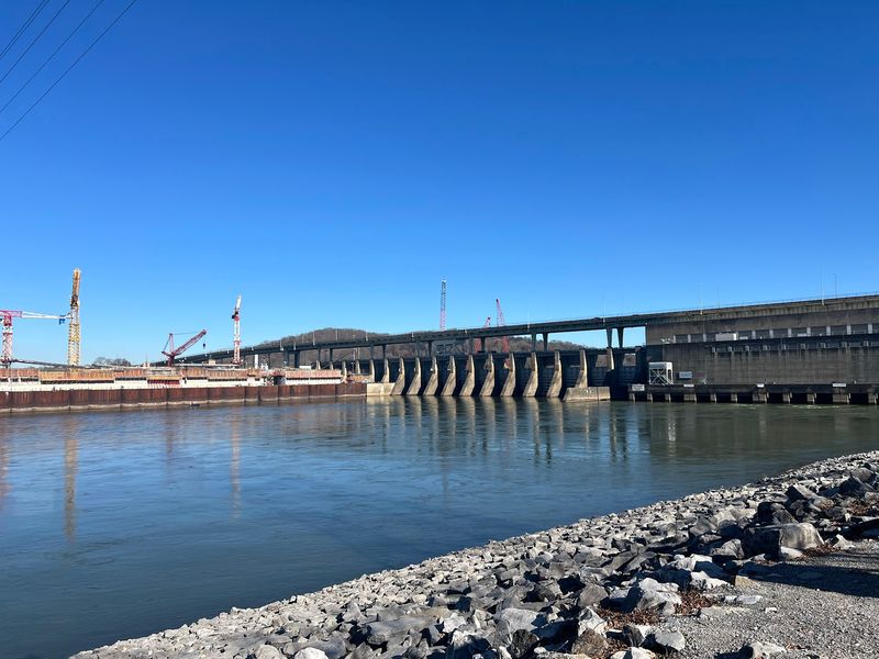
Here is a fun fact for map lovers. The route runs from the Lookout Mountain Incline Railway area all the way to the Chickamauga Dam.
That span gives the trail two very different personalities. One end sits close to mountain scenery, while the other leads toward a major dam on the river.
In between, the path winds through downtown, past parks, and along quiet river edges. Lookout Mountain shows up as a backdrop along parts of the ride.
Walking from one end to the other is a real accomplishment, and many people treat it as a bucket list goal for a free weekend. Cyclists can cover more ground, of course, but even they often split it into sections.
The length is exactly why it can fill an entire day. Pack water, plan a few stops, and let the mileage add up at your own pace.
Art Along the Waterfront
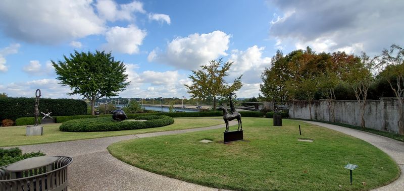
Few city trails can claim an art stop built right into the route. Part of the Riverwalk crosses a waterfront arts hub, giving walkers a reason to slow down.
Near the Hunter Museum, the path passes one of the city’s best-known art landmarks. It makes a handy spot to pause, look around, and take a break from pedaling.
That stretch adds a cultural layer to what could otherwise be just a workout. People out for exercise end up getting a dose of creativity on the side.
A quick tip, though. The trail near the Hunter Museum area can be a little confusing, with turns that are not always obvious.
Take a moment to check your direction before moving on. A little patience here keeps the art stop fun instead of frustrating, and the river will still be waiting on the other side.
Scenery That Keeps Changing
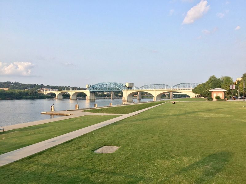
Views are the headline act here. The trail is packed with scenic spots, and the river stays close for much of the way.
Lookout Mountain rises in the distance on certain sections, adding a classic Tennessee backdrop. Other parts show off the riverfront and city skyline.
Many people call it one of the highlights of Chattanooga, and the scenery explains why. The mix of water, hills, and downtown creates plenty of photo stops.
Not every stretch feels like a forest walk. Some parts run through busy urban areas with lots of concrete.
For those who prefer more trees and open land, the South Chickamauga Creek Greenway is another local option worth considering. Still, the Riverwalk shines for people who enjoy watching the city and the river meet.
Keep your phone charged, because the next bend often brings a new reason to stop.
Built for Bikes and Skates
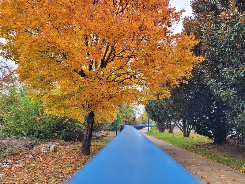
Cyclists tend to fall hard for this route. The surface is smooth, and the trail is wide and well maintained across many stretches.
Bike stations sit along the way, which makes quick fixes and adjustments much easier. That kind of detail matters on a long ride.
Some riders rank it among the best urban bike trails they have tried. Others call it the best bike trail they have ever been on.
Skaters and joggers use it as well, so everyone shares the space. Expect plenty of company, especially on nice days.
Long-distance riders should know that crowds and dogs can slow things down on busier sections. The many twists and turns downtown also make it less ideal for speed.
For relaxed riding with stops, though, it is hard to beat. Bring your helmet, keep a friendly pace, and enjoy the smooth miles.
Fishing Spots and River Access
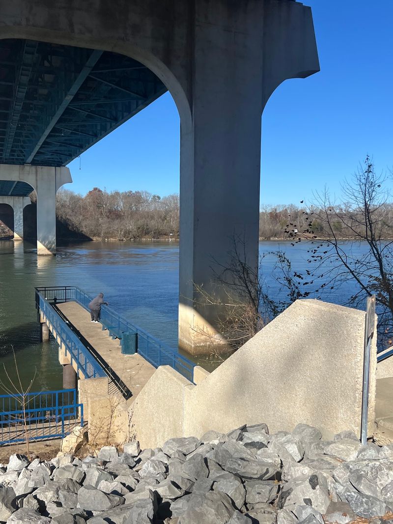
Bring a rod along with your walking shoes. The Riverwalk works as a fishing spot too, thanks to its access to the river.
Plenty of trails only let you look at the water. Here, you can actually get close to it.
A nice sidewalk runs alongside these areas, making it easy to move between casting and strolling. The walkways are not super wide, but they get the job done.
That variety helps the trail appeal to more than just athletes. Some come to exercise, some come to fish, and some just want a peaceful walk.
Families with mixed interests may find this especially useful. One person can jog a loop while another relaxes by the river.
It is a small detail that adds a lot of flexibility to the day. Check local fishing rules before you go, then settle in and let the river set the pace.
The Southern Belle Detour
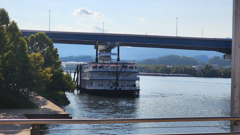
Need a reason to pause your walk downtown? The Southern Belle riverboat is a recommended side stop for people strolling the Riverwalk.
Seeing a riverboat docked along the water fits the setting perfectly. It adds a bit of old-school river charm to a modern trail.
The downtown stretch is busy, with lots to see and do along the route. That makes it a good section for slow walkers and sightseers.
Couples often treat this area as a date spot. A hand-in-hand stroll by the river is a simple plan that rarely disappoints.
Taking time to explore these extras turns a basic outing into a fuller adventure. You might start with a walk and end up spending hours.
Plan some wiggle room in your schedule for detours like this. The Riverwalk rewards anyone willing to wander a little off the main line.
Who Feels at Home Here
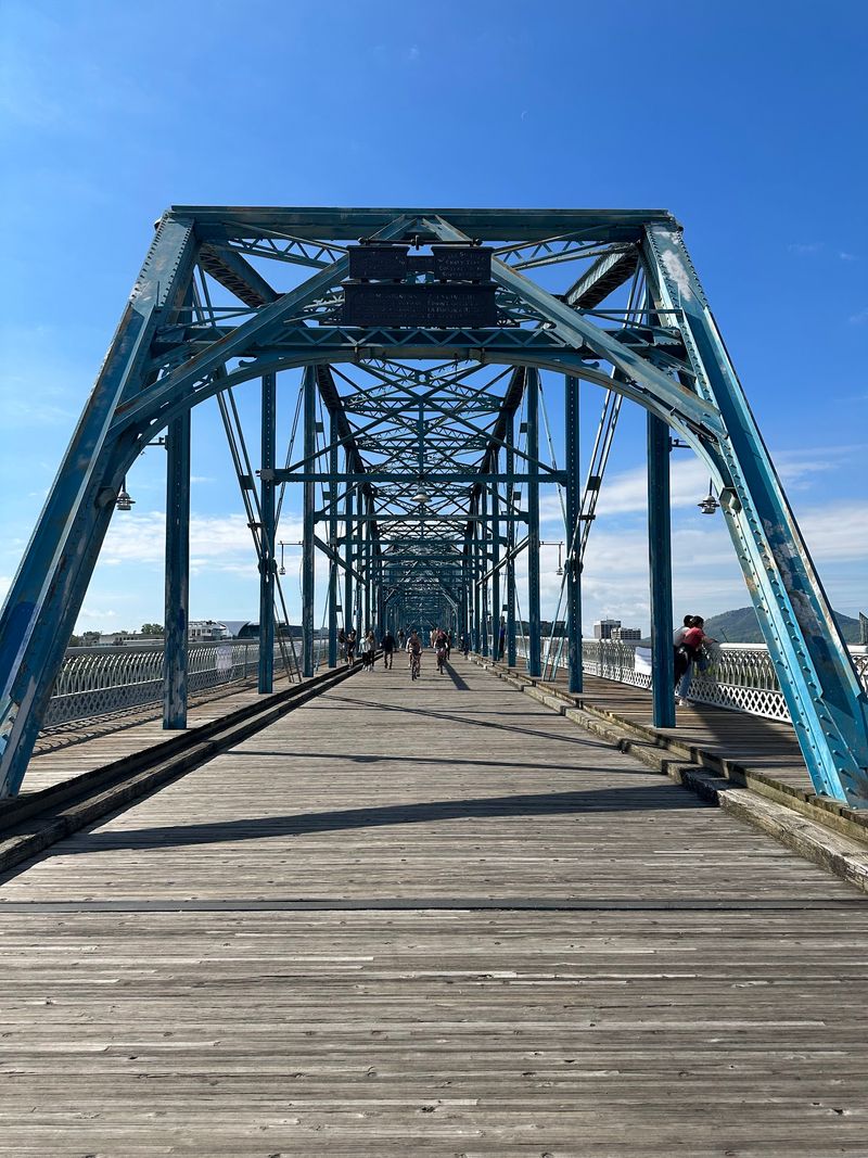
Ask around Chattanooga, and you will hear a lot of hometown pride about this trail. Locals see it as a sign of a city investing in its community.
It welcomes a wide range of people. Joggers, cyclists, walkers, dog owners, and couples all share the path.
The atmosphere is friendly and welcoming. People tend to be nice, and the park areas feel clean and cared for.
Some couples visit every time they come to the Chattanooga area, often just for the park itself. That kind of loyalty says a lot.
With so many people around, the trail also feels safe. The steady traffic keeps things lively throughout the day.
Those craving total solitude may want to visit at quieter times. Everyone else will likely enjoy the easygoing, neighborly vibe that makes the Riverwalk feel like a shared front porch for the city.
Parking Tricks and Trail Know-How
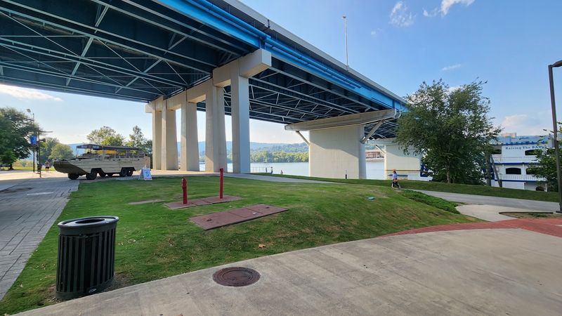
Smart planning saves money here. Trail signs point people toward Ross’s Landing, but that area uses paid parking.
Free parking can be found along other parts of the trail. One local tip is to park at the Amnicola Marsh near the steel warehouse area.
From there, heading right toward the steel company leads to the longest section. Going left offers a shorter stretch of about 3.5 miles, often busier with people and dogs.
Restrooms are plentiful, and many are clean. Benches and rest spots also appear along the route.
Navigation can be tricky. Signage is clear in places but needs repair in others, and some maps are not always accurate.
The path sometimes turns abruptly at sidewalk intersections. Pay attention at crossings, and consider checking a map app as you go.
A few extra seconds of caution can save a long backtrack.
Worth a Day on the River
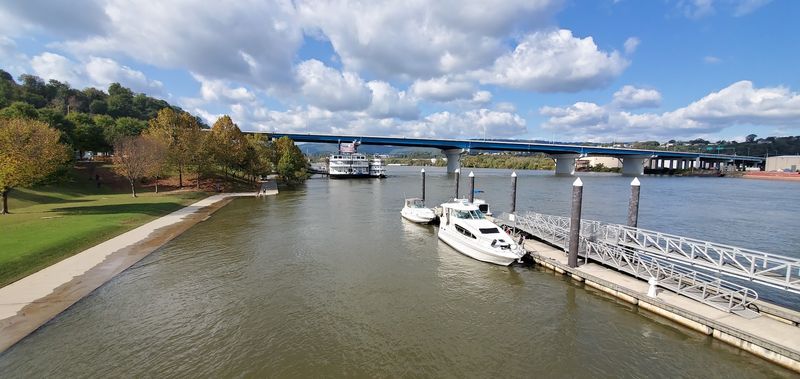
So, does the Riverwalk deserve a full day? For most people, the answer leans strongly toward yes.
It combines river views, mountain backdrops, art spaces, fishing access, and miles of paved trail. Few city paths offer that much variety in one route.
Some folks wish for fewer turns and more trees. Others love the busy downtown energy and frequent stops.
That mix is part of what makes it special. You can shape the trip around exercise, sightseeing, or a slow date walk.
For Tennessee residents, it is an affordable outing right in their own backyard. Neighbors from Georgia and nearby states find it well worth the drive.
Bring comfortable shoes or a bike, plan your parking, and leave room for detours. The river has plenty to show, and the trail makes it easy to see it all, one mile at a time.
Share this story