In some American towns, crossing the street means crossing into another state. Bristol has a downtown street divided between Tennessee and Virginia, while Texarkana has a historic federal courthouse built directly on the Texas-Arkansas border.
These unusual communities have separate state laws, different local governments, and some surprising shared traditions. In Delmar, Delaware and Maryland residents even compete in a tug-of-war across the state line.
From railroad towns in the Midwest to communities along the Colorado River, these 13 places show what happens when state borders run through everyday life. Some have famous landmarks, others have unusual histories, and a few make it surprisingly easy to visit two states in one stop.
1. Bristol, Tennessee and Virginia
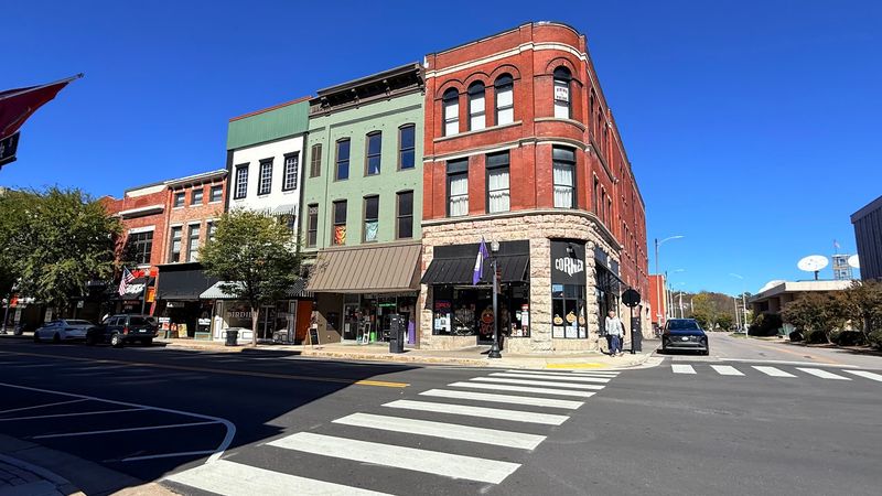
Few cities can claim their main shopping street is also a state border. In Bristol, State Street puts Tennessee on one side and Virginia on the other.
Above the street hangs the famous Bristol sign, an electric landmark that is about a century old. The two cities take turns paying its electric bill, which may be the most polite deal in American politics.
Music fans know Bristol for another reason. In 1927, producer Ralph Peer set up recording gear in a hat warehouse on State Street and recorded the Carter Family and Jimmie Rodgers.
Congress later recognized Bristol as the Birthplace of Country Music in 1998. The Birthplace of Country Music Museum explains the story with exhibits and recordings.
Visit in September for the Bristol Rhythm and Roots Reunion festival. Then snap a photo under the sign with one foot in each state.
2. Texarkana, Texas and Arkansas
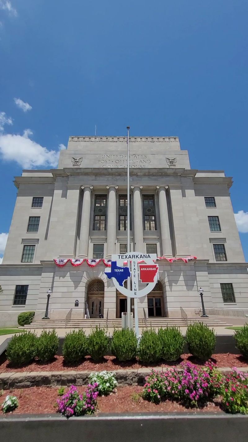
Only one federal building in the entire country sits in two states at once. It stands in downtown Texarkana.
The United States Post Office and Courthouse was built in 1933 right on the Texas and Arkansas line. Its walls are gray Arkansas limestone, and its base is pink Texas granite, so each state got a share of the credit.
Out front is a spot locals call Photographer’s Island. Visitors line up there to pose with one shoe in Texas and the other in Arkansas.
State Line Avenue runs north and south, splitting the two cities and breaking up the regular street grid. Each side has its own government, police, and city services.
Railroads built this town, and that history still shows downtown. Plan a short walk around the courthouse area, where new projects aim to make the district easier to explore on foot.
3. Delmar, Delaware and Maryland
The Little Town Too Big for One State is not just a slogan. It is the official nickname of Delmar, whose name blends Delaware and Maryland.
Railroad rules created the town in 1859. Each state’s rail company could only build inside its own borders, so the tracks met right here, and a town grew around the meeting point.
Today, Delmar has two mayors and two town councils. Even so, residents teamed up on a shared sewer system in 1927 and joined their schools in 1949.
Railroad buffs can check out a 1929 Pennsylvania Railroad caboose. Nearby stands a 19th-century highball signal, said to be the last of its kind in the country.
Every Delmar Heritage Day, neighbors hold a tug-of-war across the state line. Nobody loses territory, but bragging rights are definitely on the line.
4. Union City, Indiana and Ohio
Trains decided where Union City would go, and the state line decided how many Union Cities there would be. The answer turned out to be two.
Union City, Indiana, and Union City, Ohio, sit side by side. State Line Street marks the exact spot where one ends and the other begins.
Back in the railroad boom, several lines met here. That made the area a busy place for moving crops, goods, and passengers across the Midwest.
Much of that history still stands in the old downtown. Brick storefronts and rail tracks show how small towns once depended on trains for nearly everything.
A good visit plan is simple. Park near State Line Street, walk both downtowns, and count how many times you switch states before lunch.
Just remember that Indiana and Ohio sometimes keep different clocks during parts of history, so double-check store hours.
5. Lookout Mountain, Georgia and Tennessee
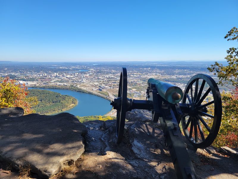
Two towns share one ridge, and both share the same name. Lookout Mountain, Georgia, and Lookout Mountain, Tennessee, sit high above Chattanooga.
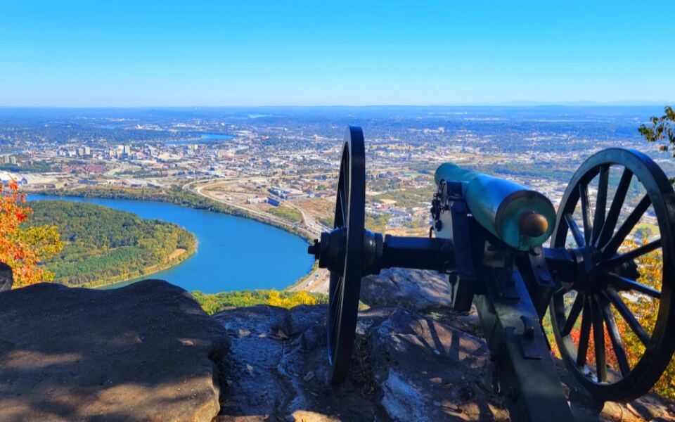
History runs deep here. In November 1863, the Battle Above the Clouds helped break the siege of Chattanooga during the Civil War.
Point Park on the Tennessee side marks that story and offers wide views of the city and the Tennessee River. Over in Georgia, Rock City Gardens has a trail through rock formations, caves, and overlooks said to show seven states on a clear day.
The Tennessee side also has Ruby Falls, a 145-foot underground waterfall reached by an elevator. The Incline Railway, running since 1895, climbs the mountain’s steep face.
Buy combo tickets when possible. Most visitors bounce between both states in a single day without noticing the switch.
6. Kansas City, Kansas and Missouri
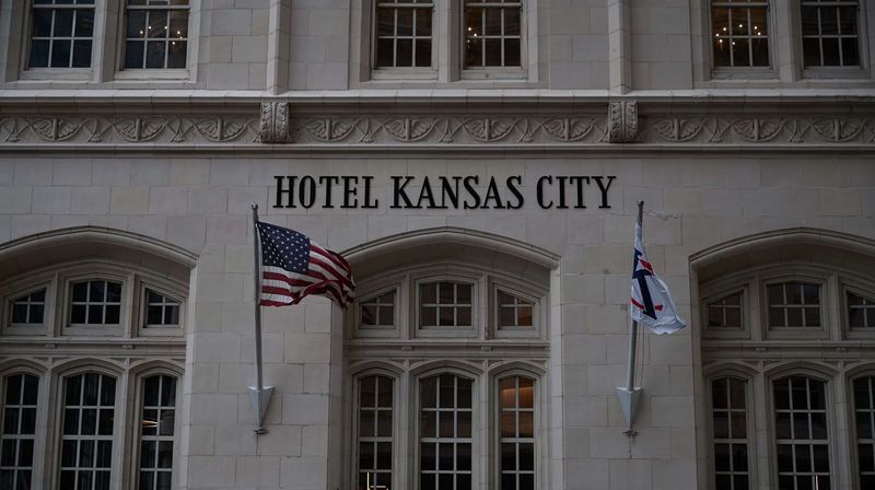
Ask a local which Kansas City you are in, and you may get a long answer. There are two, one in Kansas and one in Missouri.
They are separate cities with separate governments. Still, roads, neighborhoods, and businesses connect them so closely that the border often feels like just another street.
Barbecue is the shared language here. Restaurants on both sides serve burnt ends, ribs, and sauce-heavy plates, and friendly debates about the best spot never really end.
Jazz also has a big history in the area. Live music venues and festivals keep that tradition going today.
Fun fact for trivia night: most of the famous Kansas City attractions actually sit in Missouri. Try visiting a barbecue joint in each state, then decide which side wins your vote.
7. Texhoma, Texas and Oklahoma
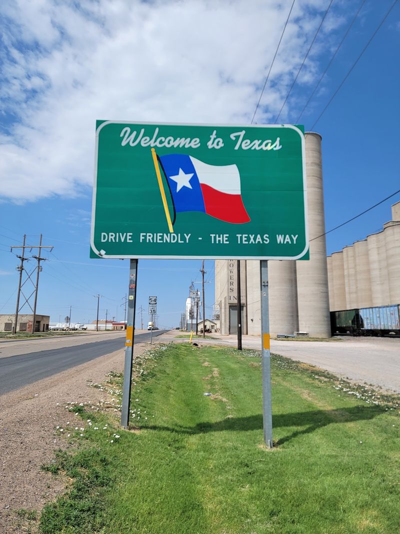
Spelling bee champions, take note. Texhoma is Texas and Oklahoma squeezed into one word, and the town sits right on the line between them.
Two communities carry the same name here. One belongs to Texas, and the other belongs to Oklahoma.
The land around town is flat, wide, and full of farms. Tall grain elevators are the tallest things in sight, and they show how much the local economy depends on wheat and other crops.
Crossing the border is part of normal life. Residents might shop on one side and work on the other without a second thought.
Long, straight roads connect the two halves. For travelers crossing the Panhandle, Texhoma makes a quick and easy stop for a state-line photo and a look at classic Great Plains farm country.
8. Ardmore, Alabama and Tennessee
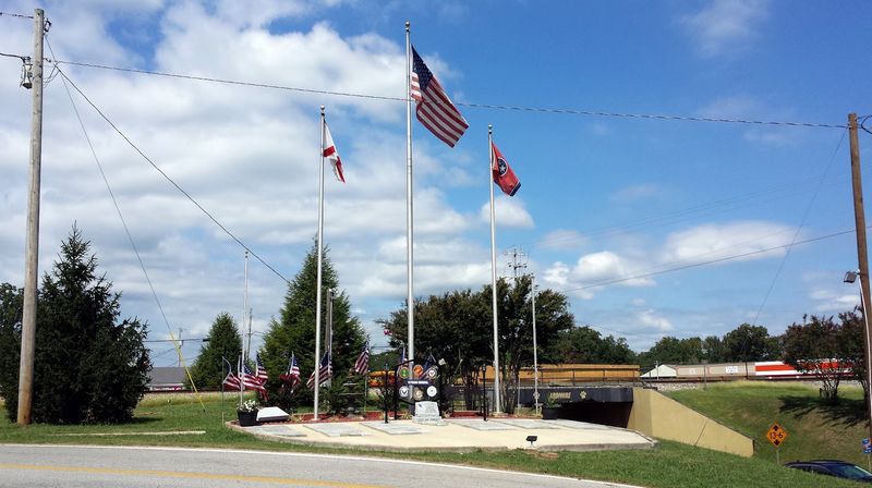
Road trippers heading north from Huntsville often roll right past a town that lives two lives. Ardmore belongs to both Alabama and Tennessee.
Each state has its own municipality with the Ardmore name. The border cuts through the developed part of town, not just the empty fields around it.
Rolling farmland surrounds the community. Small streets, local shops, and a classic Southern layout give it a calm, hometown style.
Residents deal with the quirks of two states every day. Rules, taxes, and services can change depending on which side of town you call home.
For visitors, Ardmore works well as a stop on a countryside drive between northern Alabama and southern Middle Tennessee. Stretch your legs, grab a snack, and enjoy saying you visited two states in the time it takes to find a parking spot.
9. Anthony, Texas and New Mexico
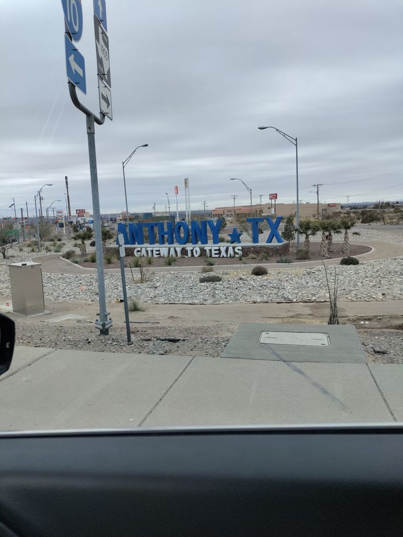
Desert mountains on the horizon and farm fields up close set the scene for one of the Southwest’s most unusual towns. Anthony sits in the Rio Grande Valley, northwest of El Paso.
Two separate towns share the name. One is in Texas, the other in New Mexico, and the state line runs right through the populated area.
Southwestern architecture shows up in homes and businesses on both sides. The look is very different from the leafy border towns back east.
Farming matters a lot here. Irrigated fields along the river grow crops, including pecans and chile peppers that the region is known for.
Anthony is an easy stop along Interstate 10. Pick up some local chile products, then tell friends you shopped in two states without changing parking lots.
10. Junction City, Arkansas and Louisiana
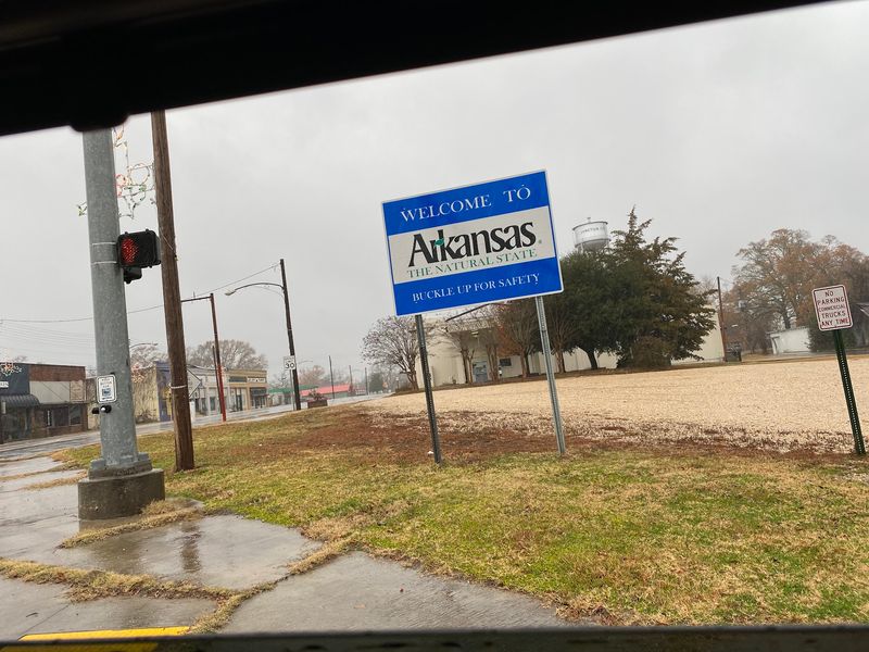
A well with a livestock trough once earned this town a spot in Ripley’s Believe It or Not. The reason was simple: the well sat right on the state line.
Junction City is split between Arkansas and Louisiana. Each side has its own city government, schools, and police.
The paperwork gets even busier. The Arkansas half sits in Union County, while the Louisiana half stretches into both Union Parish and Claiborne Parish.
The town began in 1894 when the Arkansas Southern Railway built a depot at the border. Soon, sawmills and workers arrived to harvest the huge pine forests during the lumber boom.
Pine trees and quiet streets still define the place today. Despite all the official lines, neighbors mostly live as one community with shared traditions and daily routines.
11. Oljato-Monument Valley, Arizona and Utah
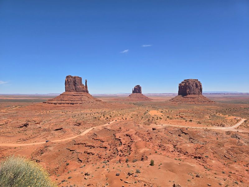
Movie fans have seen this place even if they never knew its name. The giant red buttes of Oljato-Monument Valley have starred in countless Western films.
The community stretches across the Arizona and Utah line. It sits inside the Navajo Nation, which ties the area together far more than any state boundary does.
Most visitors head to Monument Valley Navajo Tribal Park on the Utah side. A scenic dirt loop road passes famous formations, and Navajo guides lead tours into areas closed to solo drivers.
Guided tours are worth it. Guides share history, geology, and cultural stories you will not find on park signs.
Respect matters here. Follow posted rules, ask before photographing people, and remember that this land holds deep meaning for the Navajo people.
12. Big Foot Prairie, Illinois and Wisconsin
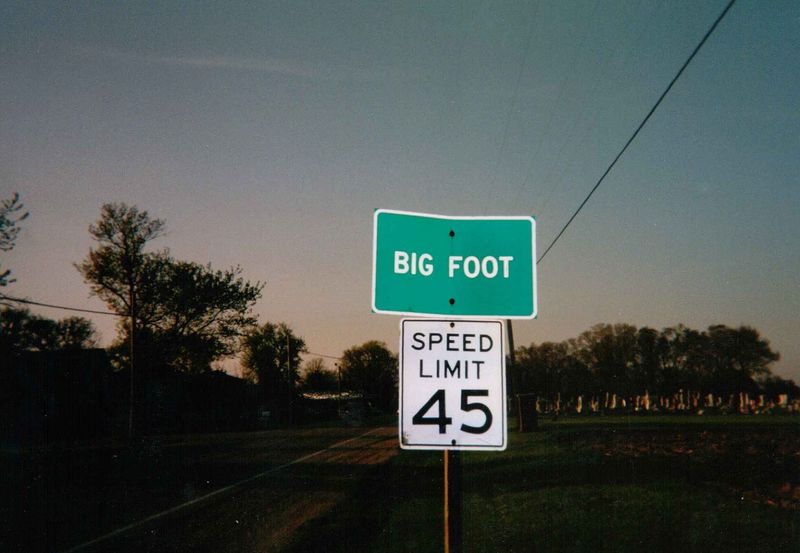
Despite the name, nobody here is hunting for a giant hairy creature. Big Foot Prairie honors Big Foot, a Potawatomi leader who lived near present-day Geneva Lake.
His band was forced to leave the area in 1836. The community name keeps his memory on the map.
The settlement sits on the line between McHenry County, Illinois, and Walworth County, Wisconsin. Each side counts as its own census-designated place.
Back in 1848, a single post office opened to serve both halves. Mail did not care much about borders.
Today, farmland, country roads, and scattered homes fill the area. It makes a nice scenic drive for anyone visiting Lake Geneva, and it shows how little a state line can change a rural neighborhood.
13. Bluewater, Arizona and California
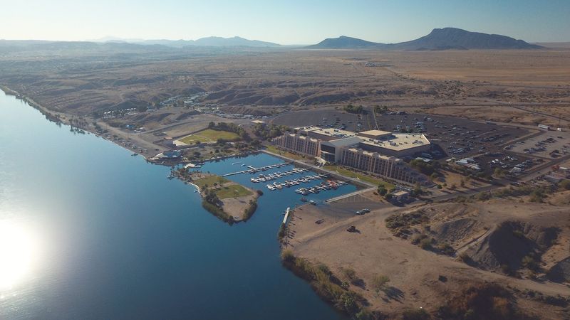
Last on the list, Bluewater brings things to the desert edge of the Colorado River. Its name appears on both the Arizona and California sides of the line.
The river is the star of this setting. It supplies water for nearby farms and draws boaters and anglers during warm months.
The scenery is very different from the wooded border towns of the East. Dry hills, river banks, and patches of farmland shape daily life here.
Few people live in this part of the Southwest. Even so, communities still grow right along state lines, proving that borders show up in surprising places.
Visitors should pack plenty of water and sun protection, especially in summer. Combine a stop here with nearby river parks for a day of outdoor fun in two states.
Share this story