On a sticky summer afternoon, the shade along this old railroad path can feel about 10 degrees cooler than the parking lot. That alone made me curious.
Who doesn’t want a free walk that comes with its own air conditioning?
The path itself is wide, flat gravel. It crosses bridges, passes benches, and counts off the miles with markers along the way.
Trains once rolled over this exact route, which explains why there’s barely a hill worth complaining about.
I like how ordinary it seems on a map. It’s just a skinny line linking two neighboring East Tennessee communities.
Yet that skinny line has turned into a favorite for strollers, cyclists, and families with kids who need to burn off energy.
So how does a retired train corridor become one of the most relaxing miles in the state?
An Old Railroad Bed Turned Into A Ten-Mile Front Porch
Railroads build flat for a reason, and walkers are the lucky ones now. The Tweetsie Trail runs for roughly ten miles along a former train corridor in Northeast Tennessee.
It links Johnson City and Elizabethton, two neighboring towns in the Tri-Cities region. That makes it an easy outing for anyone near Kingsport, Bristol, or the North Carolina line.
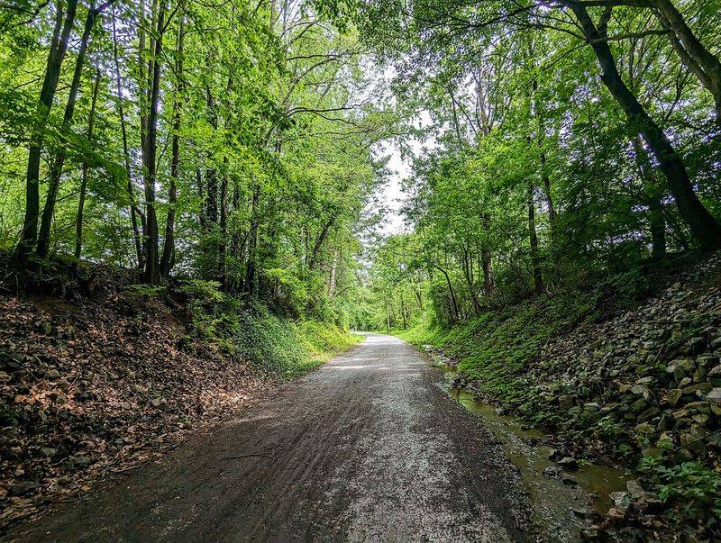
The surface is wide and gravel, so you’re not squeezing past people on a narrow ribbon. Bikes, strollers, joggers, and slow wanderers all share the same roomy path without much fuss.
Mile markers keep track of progress along the route. You can turn around at mile one or push all the way across, and nobody judges either choice.
Small parking lots sit at both the beginning and the end. That setup works nicely if you want to leave a second car at the far side and skip the return trip.
Best of all, the trail asks almost nothing of your legs. No steep climbs, no scrambling, no technical gear.
You just pick a direction, start moving, and let the old train line carry you along at whatever pace feels right.
How A Mountain Train Nicknamed Tweetsie Left Its Name Behind
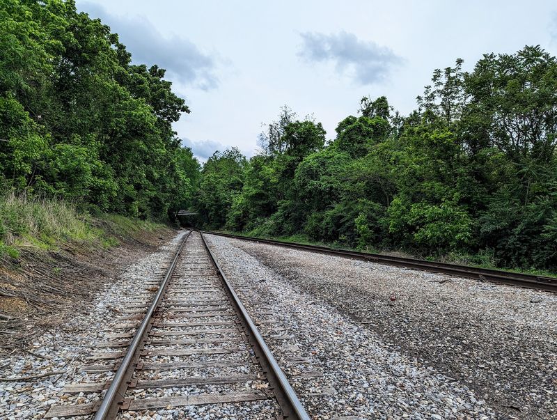
Few trails get named after a train whistle. The nickname Tweetsie traces back to the East Tennessee and Western North Carolina Railroad, a line that once climbed through these Appalachian valleys.
Folks along the route reportedly gave the train its name because of its high, tweeting whistle. The nickname stuck so well that it outlived regular service on the line.
Once trains stopped running on this stretch, the corridor sat waiting for a new purpose. Johnson City acquired the old rail bed, and the long work of converting it into a public path began.
The first section opened to the public in 2014. Later work extended it toward Elizabethton, turning a forgotten line into a shared backyard for two towns.
That history explains the trail’s personality. The grades stay gentle because locomotives couldn’t handle sharp hills, and the route bends in long, easy curves.
So every step follows the same path that freight and passengers traveled decades ago. It’s a quiet kind of time travel, minus the coal smoke.
Kids may not care about the railroad story, but grown-ups tend to appreciate walking somewhere with a little backstory under their shoes.
Shade So Thick It Feels Like Free Air Conditioning
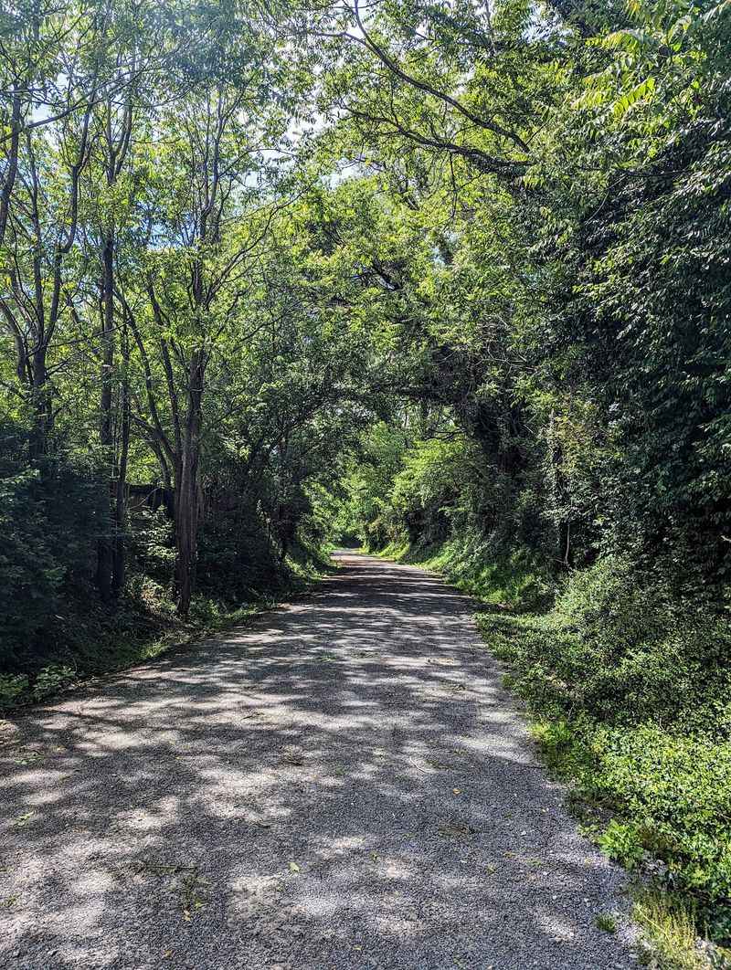
Ten degrees. That’s how much cooler the trail can feel than the open ground on a hot day, according to folks who’ve tried it in summer.
Tennessee summers don’t play around. Humidity hangs in the air, and sunny sidewalks can feel like griddles by early afternoon.
Trees along much of the route create a welcome canopy overhead. Sunlight filters through in patches, and the breeze has a better chance of actually feeling refreshing.
That shade changes who can comfortably use the trail. Little kids, older walkers, and anyone who wilts in heat get a fighting chance at a longer outing.
It also makes the Tweetsie Trail a smart pick for midday plans. When parks and playgrounds bake, this corridor stays far more pleasant.
Still, bring water. Shade helps a lot, but ten miles is ten miles, and gravel doesn’t come with drinking fountains every few steps.
A hat and sunscreen won’t hurt either, since some stretches open up near roads and parking areas. Plan for those sunny gaps and the rest of the walk feels like a reward.
Honestly, cooler air on a free trail is a pretty great deal.
Bridges, Benches, And Places To Catch Your Breath
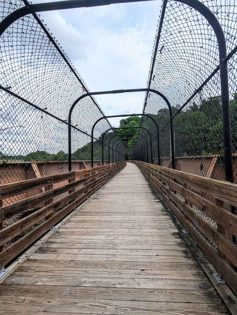
Some trails make you earn every rest stop. The Tweetsie Trail is far kinder, with benches spaced along the route for anyone who wants a breather.
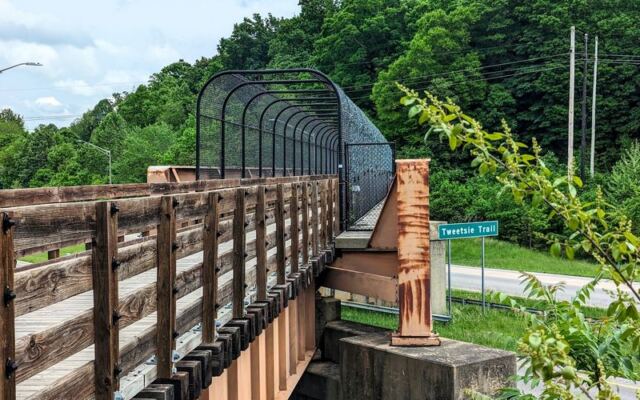
Bridges add a little drama to an otherwise mellow path. Crossing them breaks up the rhythm and gives you fresh views of the land below.
Railroad builders needed bridges to keep the grade level, and trail users now enjoy that leftover engineering. You stay on flat ground while the terrain dips and rolls beneath you.
Benches matter more than people think. They let grandparents join the outing, give tired kids a reset, and offer a spot to retie a shoe or sip water.
A Rotary Club pavilion also stands along the trail and has earned praise for its look. Covered spots like that make handy meeting points for groups and families.
Think of these features as tiny chapters in a long story. Each bridge or bench gives you a reason to keep going a little farther.
Before you know it, a short stroll has stretched into three or four miles. The trail sneaks distance onto your legs in the nicest possible way.
Water Views Waiting Near The Elizabethton End
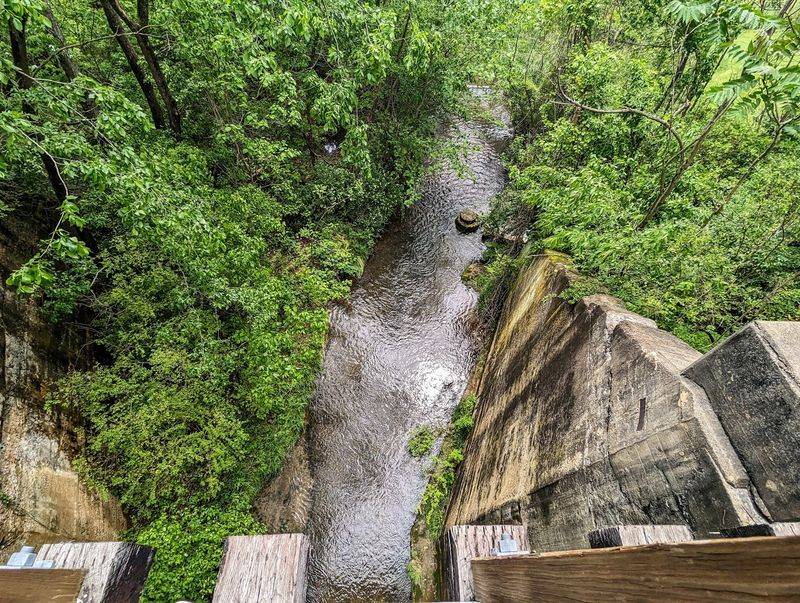
Rivers have a way of rewarding patience, and this trail saves some of its best scenery for the eastern stretch. As the route nears Elizabethton, the landscape opens toward the town’s well-known waterways.
Elizabethton sits where the Watauga and Doe Rivers shape the valley. That watery setting gives the far end of the trail a different feel from the shaded middle miles.
Following an old train line toward a river feels fitting. Railroads often traced valleys and water routes because the ground stayed gentle there.
For walkers, that means steady footing paired with greener, more open views. It’s a nice payoff after several miles of tree-lined gravel.
Elizabethton also has plenty of local history worth exploring once you finish. Sycamore Shoals State Historic Area sits nearby and makes a natural add-on for curious families.
So the trail doesn’t just end. It drops you into a town with its own river story and room for a post-walk wander.
Pack a light snack and give yourself extra time at this end. Rushing back to the car would waste a perfectly good view of East Tennessee water and hills.
A Smooth Ride For Families On Two Wheels
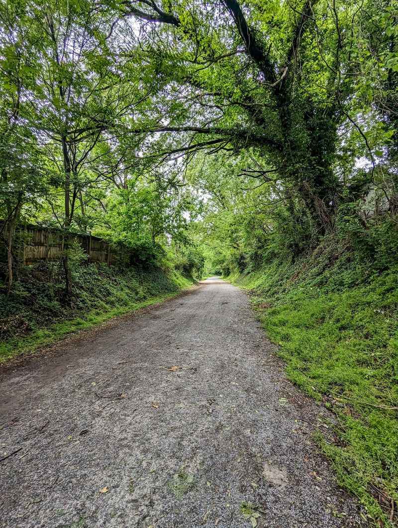
Training wheels, meet your new favorite road. The Tweetsie Trail has earned a reputation as a smooth, easygoing route for family bike rides.
Flat grades remove the biggest headache for young riders. Nobody has to push a bike up a punishing hill or white-knuckle a scary descent.
The wide gravel surface gives plenty of room to pass or ride side by side. Parents can stay close to wobbly beginners without crowding other trail users.
Kids also love having a goal, and the mile markers deliver one. Reaching the next post feels like a small victory worth celebrating with a snack.
Adults get something too. Serious cyclists can cruise the full length and back for a solid workout without dodging traffic.
Bike tires suited for gravel will feel better than skinny road tires here. Hybrid and mountain bikes handle the surface comfortably.
Families have called it a great place to bring kids for fun, and it’s easy to see why. Open space, gentle curves, and plenty of benches make a long ride feel manageable.
Who knew an old freight route could double as such a friendly playground?
Road Crossings Deserve Your Full Attention
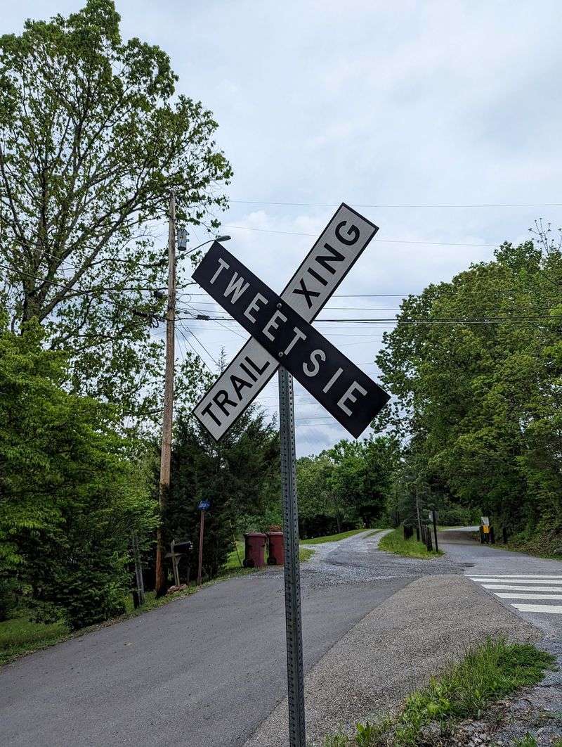
Every rail trail has a weak spot, and here it’s the road crossings. The old train line cuts across several streets between the two towns.
Stop signs face trail users at many of these intersections. Treat them seriously, because drivers may not slow down as much as you’d hope.
Some trail fans have pushed for flashing pedestrian signals at these crossings. Until changes happen, the safest approach is simple caution.
Walk bikes across busier roads if you have little riders. Teach kids to stop fully, look both ways, and wait for a clear gap.
Runners in the zone should also pull out the earbuds briefly near intersections. A two-second pause beats any personal record.
Police presence along the trail has been noticeable at times. Some folks find it a bit much, while others likely appreciate the extra eyes on a busy public path.
None of this should scare you off. It just means paying attention in a few spots, then relaxing again once you’re back under the trees.
A little awareness keeps the whole trip calm and fun for everyone sharing the corridor.
Easy-Going Company For Walkers Of Every Speed
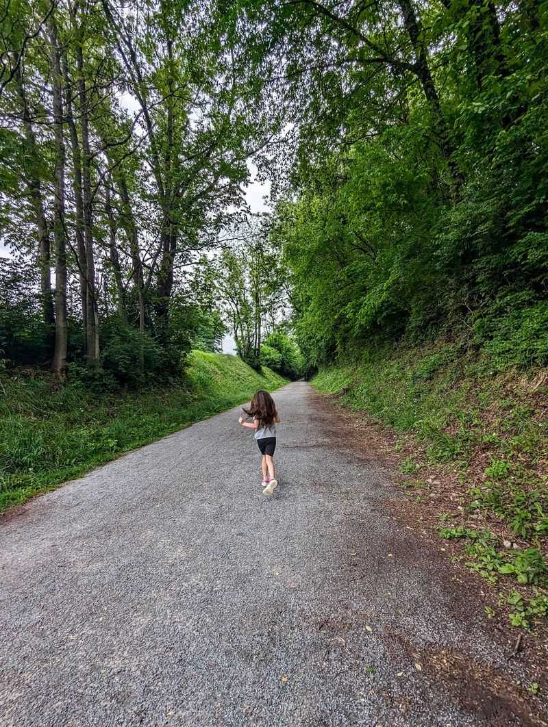
Friendly faces show up often in descriptions of this trail. Walkers have praised the good people who share the path, which says a lot about its relaxed mood.
The pace here is whatever you want it to be. Power walkers zip by, couples amble with coffee, and parents push strollers at a crawl.
That mix makes the Tweetsie Trail feel welcoming instead of competitive. Nobody needs fancy gear or a fitness tracker to belong.
Dog owners, retirees, students, and lunch-break escapees can all find their own rhythm. A flat path removes the barriers that keep some people off rougher trails.
Etiquette stays simple. Keep right, announce yourself when passing, and leave room for bikes coming the other way.
Cleanliness has been a concern in a few areas, especially farther out near the eighth mile. Packing out your own trash helps keep the whole corridor looking its best.
Small efforts like that add up on a shared public space. Treat the trail like a neighbor’s yard, and it’ll stay a pleasant spot for the next walker who rolls up.
That’s East Tennessee courtesy at work.
Parking, Access, And Planning Your Visit
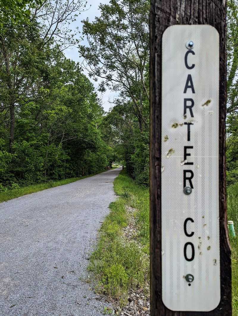
Getting there is refreshingly simple. The trail is listed as Tennessee, USA, and it stretches between Johnson City and Elizabethton in the state’s northeast corner.
Small parking lots sit at the beginning and end points. They aren’t huge, so arriving earlier on nice weekends may make life easier.
From Knoxville, the drive takes roughly a couple of hours. Folks from Asheville, Bristol, or southwest Virginia can reach it in about an hour or so.
Using the trail costs nothing, which makes it a great budget-friendly outing. Spend the savings on lunch in either town afterward.
Posted hours and rules can change, so check signs at the trailhead before heading out. Weather also matters, since gravel can get soft after heavy rain.
Restroom access isn’t something to count on along the whole route. Plan accordingly before you leave the car.
A shuttle setup works well for groups. Park one vehicle at each end, walk or ride one direction, and skip the return trip.
That turns a twenty-mile round trip into a manageable ten, which tired legs will thank you for later.
Why This Old Train Route Earns A Spot On Your Weekend List
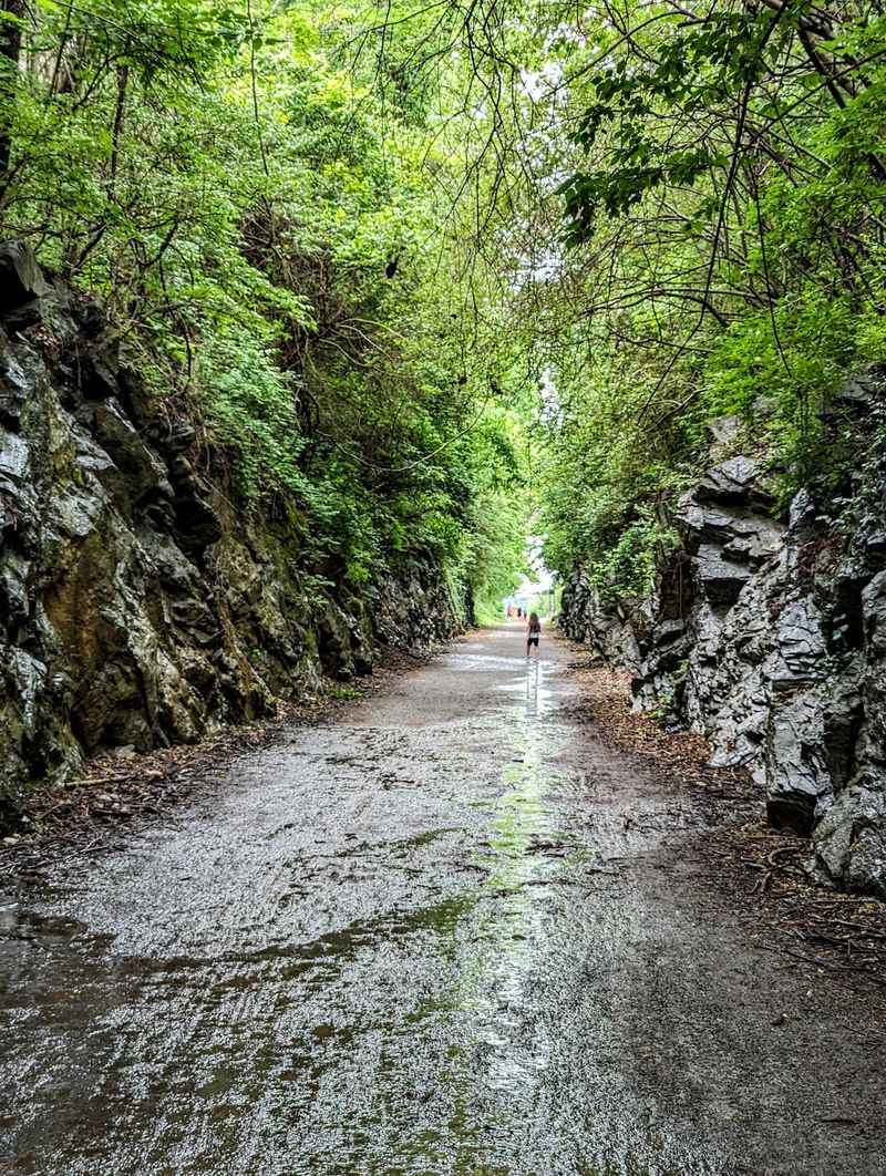
Plenty of famous trails demand early alarms and steep climbs. This one just asks you to show up, which might be its greatest charm.
The Tweetsie Trail blends real railroad history with flat, shaded miles and a friendly hometown feel. It’s the kind of place Tennessee residents can be quietly proud of.
Families get a safe-feeling route for bikes and strollers. Walkers get benches, bridges, and cooler air on blazing summer days.
Curious travelers get a story too. Following the old Tweetsie line connects you with generations who once rode trains through these same valleys.
It isn’t flawless. Road crossings need care, and some stretches could use more litter pickup.
Still, those are small trade-offs for ten miles of gentle, free recreation. Few outings deliver this much for this little effort.
So pack water, grab a bike or comfy shoes, and pick a direction. Maybe go just a mile the first time, then come back for more.
The trail will be waiting, quiet and shady, ready to show you why an old train line makes such a fine place to slow down.
Share this story