North Carolina has a knack for hiding extraordinary stories in plain sight, and a former freight railroad winding through the Blue Ridge foothills is no exception. A former Norfolk Southern rail corridor stretching from Upstate South Carolina into the mountains of western North Carolina is now the focus of an ambitious trail project that could change how people explore this region.
The Saluda Grade Trail is planned to run 31.5 miles, threading through small towns and steep mountain terrain that most travelers never see. Construction has not yet begun, but the vision behind this project is already worth knowing.
A former rail corridor could become a two-state mountain trail
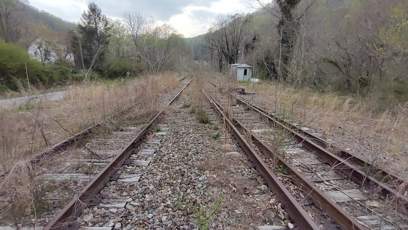
Picture a 31.5-mile stretch of former railroad corridor that begins in the Upstate South Carolina town of Inman and climbs steadily through foothill communities before crossing into western North Carolina, finally reaching Zirconia near the edge of the Blue Ridge Escarpment. That is exactly the route the Saluda Grade Trail project has in mind.
The Saluda Grade Trails Conservancy purchased the former Norfolk Southern rail corridor on June 17, 2025, marking the most significant milestone the project has reached so far.
Right now, though, the trail exists only on paper and in planning sessions. The project’s own 2026 spring update confirms that planning and design are still underway and that construction has not begun.
Calling the corridor “abandoned” is accurate in the sense that freight trains no longer run here, but the route is not yet an open public trail by any measure.
When completed, the trail is envisioned as a multi-use route supporting walking, running, cycling, and adaptive mobility. Planners also envision future connections to the Ecusta Trail, the Palmetto Trail, and the Swamp Rabbit Trail, stitching this corridor into a larger regional network.
That regional ambition is part of what makes the project’s FAQ worth bookmarking as planning moves forward.
The Saluda Grade gives the project its signature climb
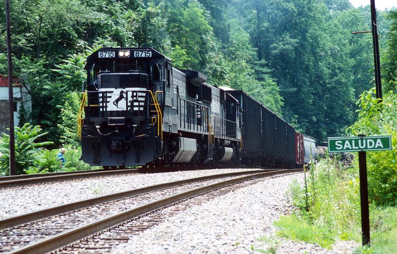
Most rail trails in the eastern United States are famously flat, which makes this corridor stand out before a single trail user sets foot on it. The three-mile section known as the Saluda Grade rises at an average of 4.7 percent, and North Carolina’s Department of Natural and Cultural Resources identifies it as the steepest standard-gauge mainline railway grade in the United States.
That precise title matters: it is the steepest standard-gauge mainline grade, not simply the steepest railroad anywhere in the world.
The first train crossed that grade on July 4, 1878, a milestone that connected Asheville with Spartanburg and opened western North Carolina to the broader southeastern rail network. For more than a century, locomotives wrestled with that climb, sometimes requiring helper engines just to push freight cars up the slope.
Historical accounts of the grade describe runaway trains and dramatic brake failures that became part of the corridor’s working legend.
Norfolk Southern removed the line from service around 2000-2001, redirecting traffic to other routes. The grade that once challenged engineers now sits quietly waiting, and trail planners will need to reckon with its steepness when designing accessible sections for future users.
Trestles could become trail features after major engineering work
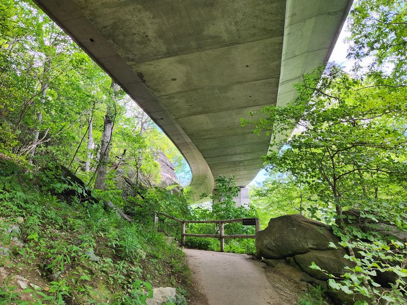
Eight trestle bridges dot the planned Saluda Grade Trail corridor, five of them in North Carolina and three in South Carolina. On paper, those structures sound like instant trail highlights.
In practice, each one represents a significant engineering challenge before any hiker or cyclist can safely cross it.
According to the 2024 feasibility study, converting a railroad trestle for public trail use means stripping out rails, ties, and ballast and then installing proper trail decking and protective railings. Bridge inspections conducted during the study evaluated whether each structure could be rehabilitated for pedestrian use or whether full replacement would be more practical and safe.
None of that work has been completed.
The detailed feasibility documents make the point plainly: the trestles are not currently configured as public trail infrastructure. Visitors should not approach or attempt to cross them.
Once the engineering work is done, though, these structures could become some of the most memorable moments on a finished trail, carrying users over creek valleys and wooded hollows with views that no highway can match.
Small communities will shape the future journey
One of the most compelling things about the Saluda Grade Trail is not the grade itself but the string of communities the route would pass through. Starting in Inman and moving north through Campobello, Landrum, Tryon, and Saluda before reaching Zirconia, the corridor threads through places that tourists rarely linger in but locals deeply love.
Landrum and Tryon sit at the foot of the Blue Ridge Escarpment, where the Piedmont gives way to steeper terrain and the air takes on a cooler, cleaner quality. Saluda, a tiny North Carolina town perched near the top of the grade, has a historic main street that once served railroad workers and now draws cyclists and hikers passing through on existing routes nearby.
Each of these towns has the kind of small-scale character that makes a long trail feel like a journey rather than just a workout.
Planned uses include walking, running, cycling, and adaptive mobility, with potential future connections to the Ecusta Trail, Palmetto Trail, and Swamp Rabbit Trail envisioned for the corridor. The project FAQ and planning page both frame those connections as goals still subject to planning decisions, not guaranteed outcomes.
The famous Blue Ridge tunnels belong to a different railroad corridor
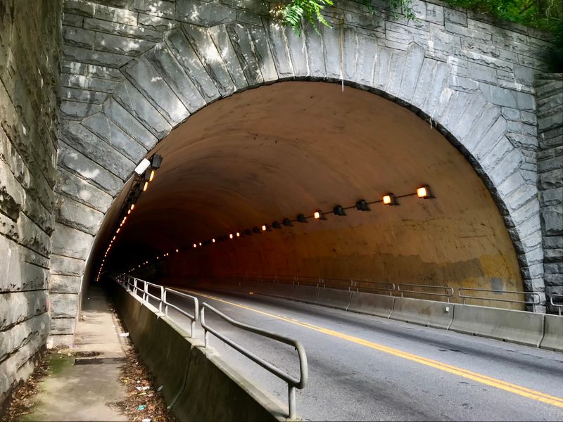
Here is where the story of western North Carolina’s railroad history gets tangled, and it is worth straightening out carefully. The Saluda Grade Trail’s feasibility materials document eight trestle bridges along the planned corridor, but the reviewed project sources do not establish that the route passes through a series of historic railroad tunnels.
The tunnel story belongs to a completely different line.
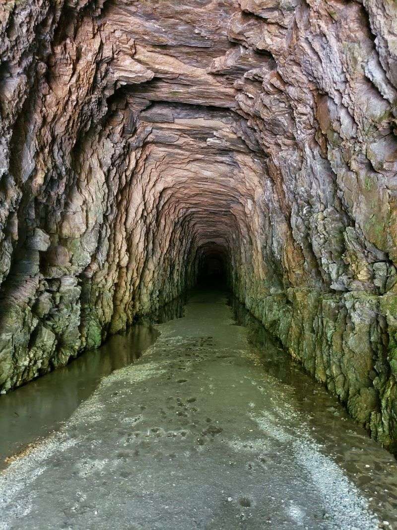
The Western North Carolina Railroad corridor between Old Fort and Asheville is the route with tunnels, and it is a remarkable one. State preservation records describe the Swannanoa Tunnel as approximately 1,800 feet long, the longest of seven tunnels that once pierced the Blue Ridge along that separate line.
That corridor also featured loop construction and its own trestle bridges, making it a fascinating chapter in Appalachian engineering history.
The historic preservation documentation for the Old Fort-Asheville corridor and the Saluda Grade Trail planning materials are separate sources describing separate projects. Presenting them as one continuous trail would mislead anyone trying to plan a visit or understand what each initiative actually involves.
Design choices will determine how accessible the finished trail feels
Anyone who assumes a rail trail conversion is automatically flat and easy has not looked closely at the Saluda Grade. The 2024 feasibility study examined steep grades, 47 roadway crossings, washout areas, narrow sections, sensitive habitat, construction phasing, and projected costs across the full 31.5-mile corridor.
The steepest section received specific analysis for Americans with Disabilities Act compliance, meaning planners know that accessibility on this route will require deliberate engineering choices, not just a fresh layer of gravel.
A 2026 conceptual design for the first five South Carolina miles gives the clearest preview of what the finished trail might feel like. That phase-one proposal calls for a mostly 12-foot-wide trail surface, with narrower sections through wetland areas and a wider section through downtown Landrum.
Those dimensions are conceptual and apply only to the first phase, not to the entire corridor.
Surfaces, parking areas, restroom facilities, permitted activities, and amenity details for the full route remain unsettled. The project FAQ is direct about this: detailed design decisions are still subject to planning, funding, public input, and the eventual management structure.
The honest answer for most practical questions about the finished trail is still “to be determined.”
Until the trail opens, do not treat the rail corridor as a shortcut
Enthusiasm for a great trail project can sometimes outrun the project itself, and that gap matters here. The 2026 spring planning update from the Saluda Grade Trails Conservancy is clear: construction has not begun, and site walks or informal corridor views described in project updates do not constitute a public trail opening.
The corridor is not yet a place the public is invited to walk, run, or ride.
Federal Railroad Administration guidance reinforces the point directly. Trespass prevention guidance from the FRA states that railroad property is not a recreational area and that entering or remaining on it without authorization is both illegal and dangerous.
That applies to railbeds, bridges, and any other corridor structures.
For a currently open mountain outing with railroad-era scenery nearby, Point Lookout Trail in McDowell County offers a 3.75-mile route between Old Fort and Ridgecrest. Worth noting: Point Lookout Trail follows a former highway corridor, not the Saluda Grade rail line, and it has no connection to the planned Saluda Grade Trail project.
It is simply a beautiful, accessible, open trail in the same general mountain region.
The future payoff is a trail built around real railroad history
When the Saluda Grade Trail eventually opens, it will carry something most new trails cannot claim: a corridor shaped by genuine national railroad history. A 4.7-percent climb that once defined the limits of steam-engine technology, eight trestle bridges waiting to be reborn as scenic crossings, and a chain of small communities that grew up around the railroad all make this a project worth following closely.
The planning page and feasibility study together show that planners are approaching historic infrastructure seriously rather than rushing past its complexity.
The tunnel stories belong to a different, equally fascinating corridor nearby, and the trestles are not yet crossable. But the project’s momentum is real.
A trail built honestly around what this corridor actually is – a nationally significant grade, a two-state community connector, and a piece of living Appalachian history – will be worth every mile of the wait.
Share this story