Some of the best outings in Massachusetts start at a plain gravel pull-off that most drivers zip right past. Tucked into the hills of the western part of the state, one wide forest road climbs gently for about a mile and then hands over a waterfall that seems far too big for such an easy walk.
Families, dog owners, and casual walkers all make the trip, and many leave planning their next visit before they reach the car. Here is everything worth knowing before lacing up and heading out to find it.
A Waterfall Off Route 20
Finding the trailhead turns out to be the simplest part of the day. Sanderson Brook Waterfall sits at 648 US-20, Chester, MA 01011, inside Chester-Blandford State Forest in western Massachusetts.
The spot is managed as part of the state forest system, and it is listed as a scenic spot rather than a full-service park. That label fits well.
There is no visitor center, no ticket booth, and no fuss. A parking area sits right off Route 20, and from there a wide gravel road heads straight into the trees toward the falls.
The state forest has a second entrance as well, so hikers can choose between the Sanderson Brook Falls entrance and the main Chester-Blandford State Forest entrance depending on their plans.
For locals who like low-effort adventures close to home, the setup is ideal. Park, walk, and let the brook lead the way to something special.
Chester-Blandford State Forest Setting
Forests in the hill towns of western Massachusetts have a way of swallowing the noise of the road within minutes. That happens quickly here.
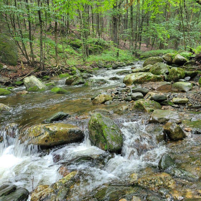
Chester-Blandford State Forest wraps the falls in pine woodland, rocky ledges, and steep hillsides. The brook itself runs beside the trail for much of the walk, which keeps things lively the whole way up.
Beyond the waterfall, the forest holds a network of other paths. Some climb to overlooks with views of the Westfield River Valley, a reward that draws more serious hikers.
Small wildlife makes cameo appearances too. Chipmunks are a common sight scurrying near the trail edges, and they seem entirely unbothered by the foot traffic.
Shade covers much of the route, which helps on warmer days. The combination of tall trees, flowing water, and rock formations makes the setting feel far more remote than a short drive off a state highway has any right to feel.
The Gravel Road Up
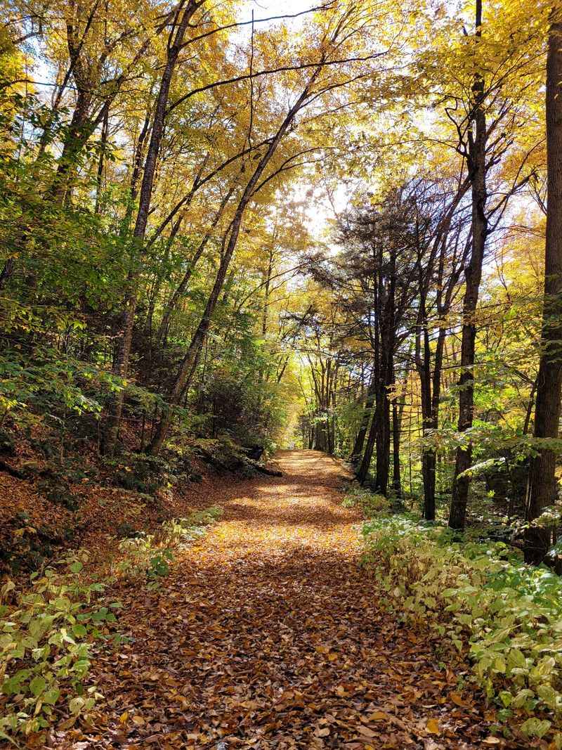
You could drive a truck up there, and that is barely an exaggeration. The main path to the falls is a wide, well-maintained gravel road.
The incline is slight for most of the way. It rises steadily rather than sharply, so most walkers can handle it at a relaxed pace with time to chat.
Distance estimates hover around one mile from the parking lot to the falls. Some walkers clock it a bit longer depending on where they start counting, but nobody describes it as a slog.
Not everyone finds it effortless, of course. A few hikers notice the climb more than expected, especially on humid mornings when the bugs come out to join the party.
Still, the wide surface makes footing predictable. Strollers of conversation, groups walking side by side, and dogs on leashes all fit comfortably.
It is the kind of trail that lets the waterfall stay the main event.
Bridges Over Sanderson Brook
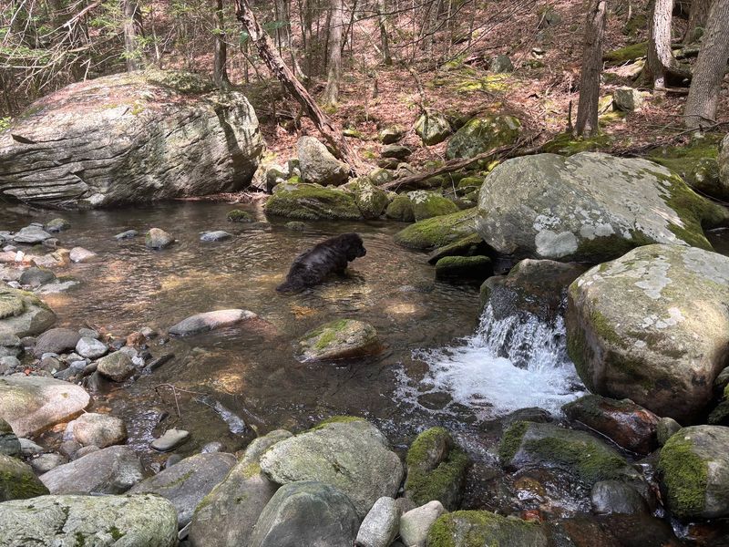
Three crossings stand between the parking lot and the falls, each one hopping over the brook as the trail climbs.
Two of those bridges have steel mesh grating. The openings are large enough that small paws can slip through, and plenty of dogs flat out refuse to step onto them.
Good news arrived for four-legged hikers, though. Wooden doggie boards have been installed alongside the grated bridges, giving pups a solid surface to cross without drama.
Owners appreciate the upgrade. Before the boards went in, carrying a nervous pooch across was a regular part of the outing, which made for a workout nobody signed up for.
The bridges also work as handy progress markers. Counting them off gives first-timers a sense of how far they have come and how close the payoff is getting.
Small details like these show that someone is clearly looking after this trail with care.
That Easy-to-Miss Turnoff
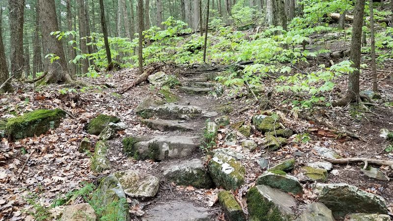
Here is the insider tip that saves a lot of wandering. The path down to the falls branches off to the right, roughly halfway up, and the sign is easy to overlook.
Several hikers have walked right past it and kept climbing. The general rule is to stay on the main wide gravel path, keep an eye on the right side, and watch for the small turnoff.
Once on the side trail, the character of the walk changes. The surface becomes more of a footpath, narrower and less polished than the road.
In spots it is only a couple of feet wide with a sharp drop and no railings. On dry days that is manageable, but wet or icy conditions make it genuinely tricky.
Trekking poles come recommended by regulars. A little caution here goes a long way, and the reward waiting at the bottom is well worth slowing down for.
Horsetail and Cascades
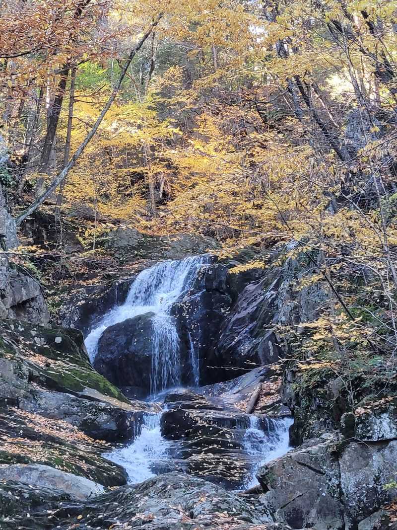
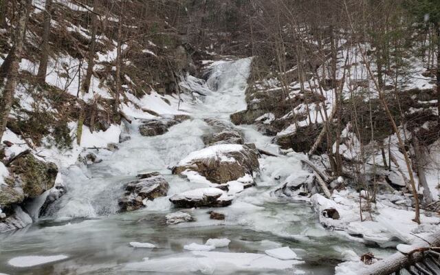
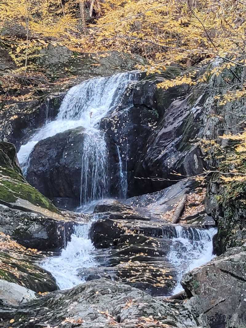
Sixty feet of falling water is a lot to take in after such a mild approach. Sanderson Brook Falls drops as a horsetail and then breaks into numerous cascades over layered rock.
Many consider it one of the most spectacular waterfalls in Massachusetts. Others call it a small, pleasant set of falls, and the difference often comes down to timing.
Water flow changes the whole show. After a couple of days of rain, the falls run hard and full, while dry spells leave a gentler trickle.
Strong flow brings real power. Higher up, the rushing water can make it hard to hear someone standing right in front of you.
Spring snowmelt also boosts the volume. Planning around recent rainfall is the simplest way to catch the falls at their most dramatic.
Either way, the layered rock face gives the water plenty of ledges to tumble over, so there is always something to watch.
Climbing the Rock Face
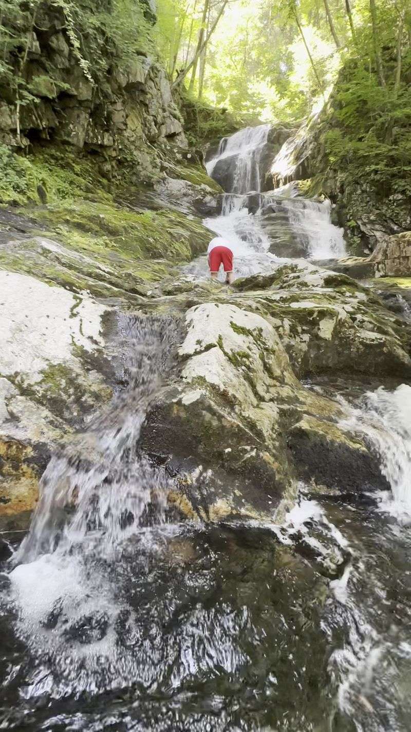
Low water opens up a different kind of fun. When the current is light, the rock beside the falls can be scrambled up with surprising ease.
Centuries of erosion have carved slots and ridges into the stone. Those natural grips make the climb approachable for beginners and young explorers who want a little adventure.
A side trail also leads toward the top. From there, an upper tier of falls appears that cannot be seen from below, a hidden bonus most people miss.
Caution matters, though. Moss turns parts of the rock very slick, and some walkers advise against heading too high for exactly that reason.
Rainy days and heavy flow are not the time to try any of this. Footwear with good traction helps, and strapped sandals or water shoes make sense for anyone planning to wander along the brook.
Smart choices keep the scramble enjoyable rather than risky.
Pools Along the Brook
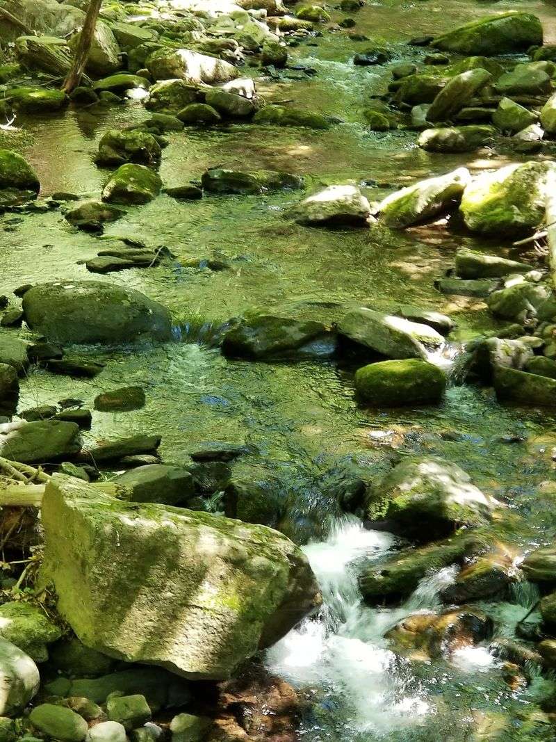
Below and above the falls, the brook gathers into small pools that look tempting on warm afternoons.
Some hikers report that swimming is possible after climbing up a bit from the base. On cooler days, the pools mostly serve as pretty spots to rest beside.
Dogs tend to treat the whole brook as a personal splash zone. Plenty of shallow spots along the trail give pups a chance to cool off on the walk up.
The creek also invites a gentle wander along its edges. Traction-friendly footwear makes that easier, since wet stones can be unpredictable.
Water levels shift often, so conditions vary from one visit to the next. A pool that seems calm in August may look completely different after a stormy week.
Treat the pools as a nice extra rather than the main goal, and the day will feel relaxed no matter what the brook is doing.
Families, Kids, and Leashed Pups
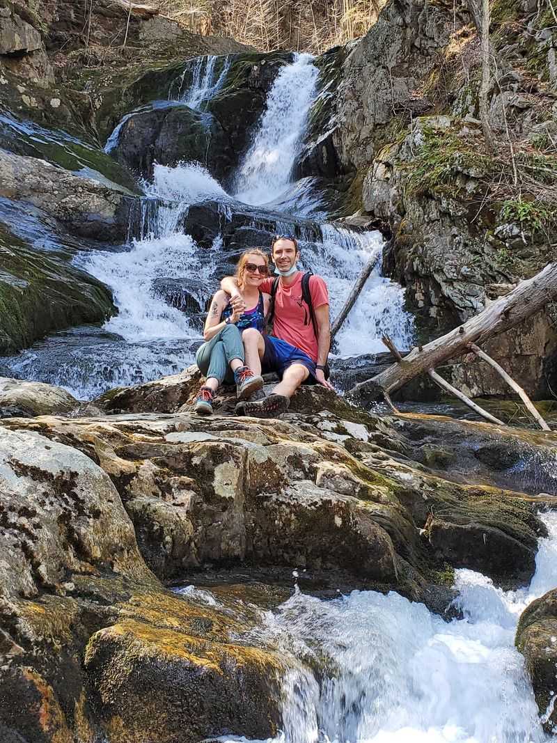
Not every trail welcomes grandparents, toddlers, and a golden retriever in the same group. This one does.
The falls earn steady praise as both dog-friendly and family-friendly. Leashed pets are welcome, and the wide path gives everyone room to spread out.
Kids tend to love the bridges, the chipmunks, and the chance to climb a little at the falls when water is low. It makes a solid first real hike for younger walkers.
Many describe the visit as peaceful and easy to access. Some even call the area near the upper falls a great place for quiet reflection.
A short walk with a big finish is exactly the kind of outing busy households can squeeze into a Saturday morning.
Bring snacks, water, and patience for frequent stops. Little legs and curious noses will want to investigate every rock along the way.
The Loop That Fools People
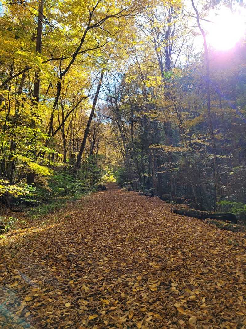
Ambition has a funny way of turning a two-mile stroll into a five-mile adventure. That is the story many tell about the loop trail.
The kiosk map makes the loop look reasonable. In practice, the CCC trail climbs steeply and keeps going, and the road name hints at views that never show up at the top.
After that comes a long walk down a gravel road. One family expected two miles and ended up covering about five over roughly three hours.
A separate hill diversion near the parking area does offer overlooks. Getting there involves steep ascents and a long descent, though the rock formations and pine forest are lovely.
The takeaway is simple. Unless a real workout is the goal, an out-and-back to the waterfall delivers the better payoff for the effort.
Bring extra water if the loop calls your name anyway.
Autumn Color Season
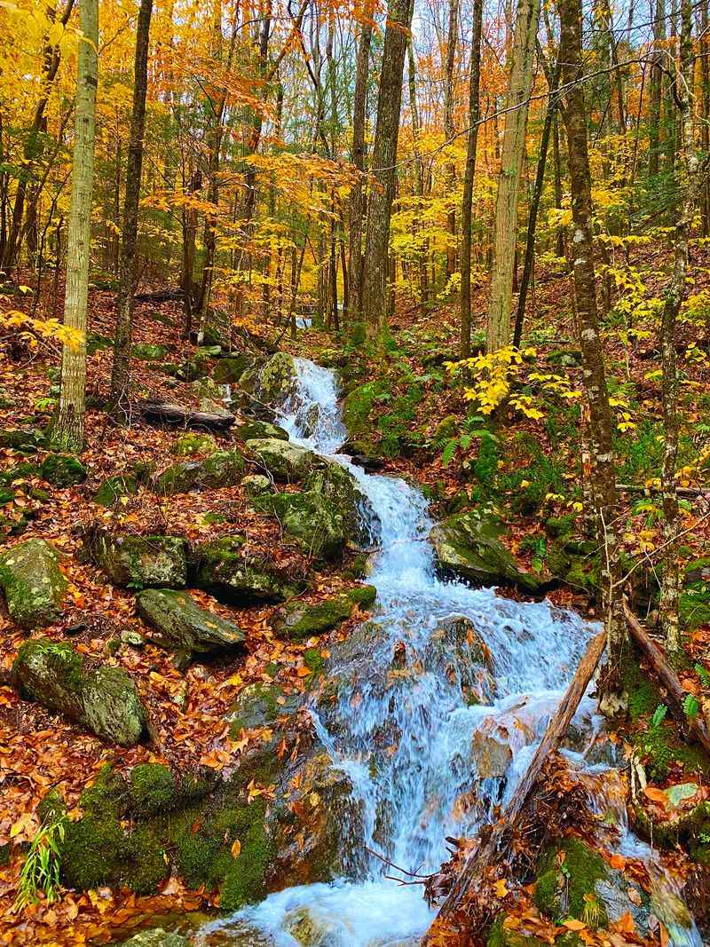
October in the western Massachusetts hills is reason enough to plan a drive. Adding a waterfall to the itinerary makes it even better.
Fall colors are a recurring highlight here. Early foliage can start showing up along the trail as September winds down, framing the brook in fresh shades of red and gold.
Autumn also brings comfortable hiking weather. The steady climb feels easier without summer humidity, and the bugs that pester warm-weather walkers tend to fade away.
Rain in the fall can boost the falls nicely. A wet week followed by a dry morning often lines up the best mix of strong flow and safe footing.
Leaves on the side trail can hide slick rocks, so poles remain a smart companion.
Pair the walk with a scenic drive along Route 20 and the whole day becomes an easy, affordable foliage escape close to home.
Parking, Restrooms, and Practical Tips
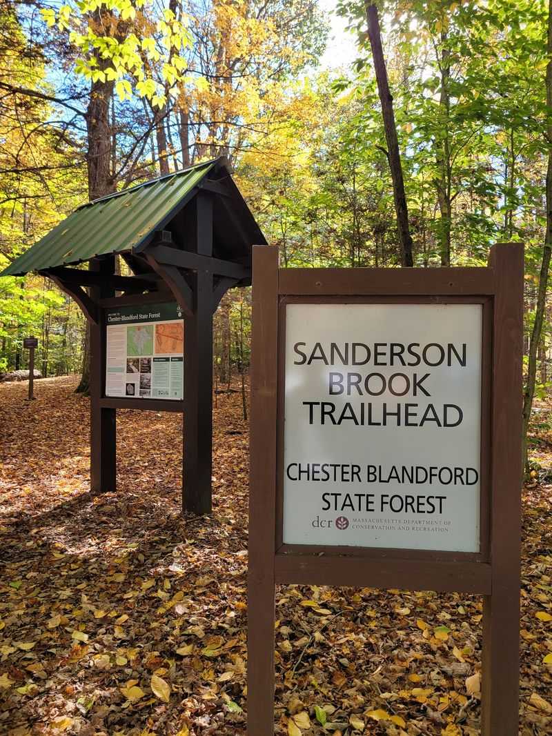
Good logistics make a short hike even shorter on stress. Parking at the trailhead is plentiful, and most people find a spot without trouble.
A porta potty sits at the start of the trail. That might sound minor, but plenty of Massachusetts parks offer no restrooms at all, so locals count it as a genuine bonus.
A kiosk map near the start lays out the trail network. Use it for orientation, but remember the loop is tougher than it appears on paper.
Pack water, bug spray for warmer months, and shoes with solid grip. Poles help on the narrow side path, especially in wet or icy conditions.
For current details on hours or seasonal changes, the Chester-Blandford State Forest page on the state website is the place to check.
Avoid visiting during heavy rain, since both the side trail and the falls can turn hazardous quickly.
Worth the Detour
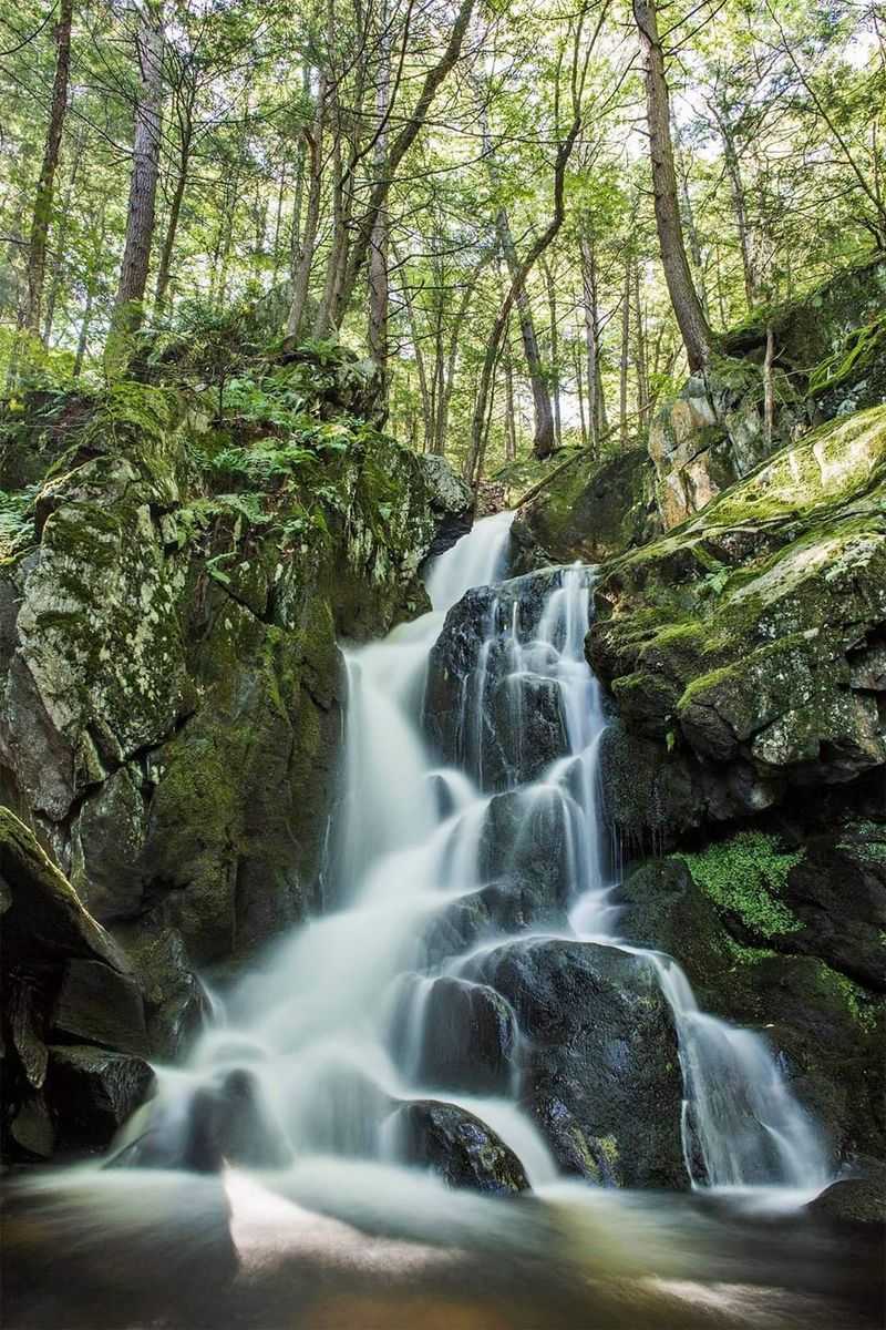
Some places earn loyalty by asking very little and giving a lot back. Sanderson Brook Waterfall fits that description well.
A wide gravel road, a few bridges, one sneaky turnoff, and suddenly a 60-foot cascade fills the view. Few outings in Massachusetts offer that kind of return for so little effort.
It suits families, dog owners, and anyone looking for a calm morning outdoors. Stronger hikers can tack on overlooks and steep climbs if they crave more.
Timing makes the difference. Go after some rain for the fullest flow, skip slippery days, and stick to the out-and-back for the best balance.
Best of all, it remains the sort of spot locals mention quietly to friends rather than shout about.
Tell a few people, sure. Just maybe not everyone, because part of the charm is finding it feels like a well-kept secret in the western hills.
Share this story