Somewhere in the folds of Oregon’s Coast Range, a former railroad corridor winds through canyon walls, crosses wooden trestles, and disappears into hand-drilled tunnels that predate World War I. The Salmonberry Trail project aims to transform roughly 82 miles of this old rail line, running between Banks and Tillamook, into a multi-use path that could become one of the most dramatic trail experiences in the Pacific Northwest.
Progress is real but uneven, and the route is not open to the public right now. Understanding what exists today, and what still has to be built, is the first step toward appreciating just how remarkable this corridor might one day become.
Oregon’s Coast Range trail is still taking shape
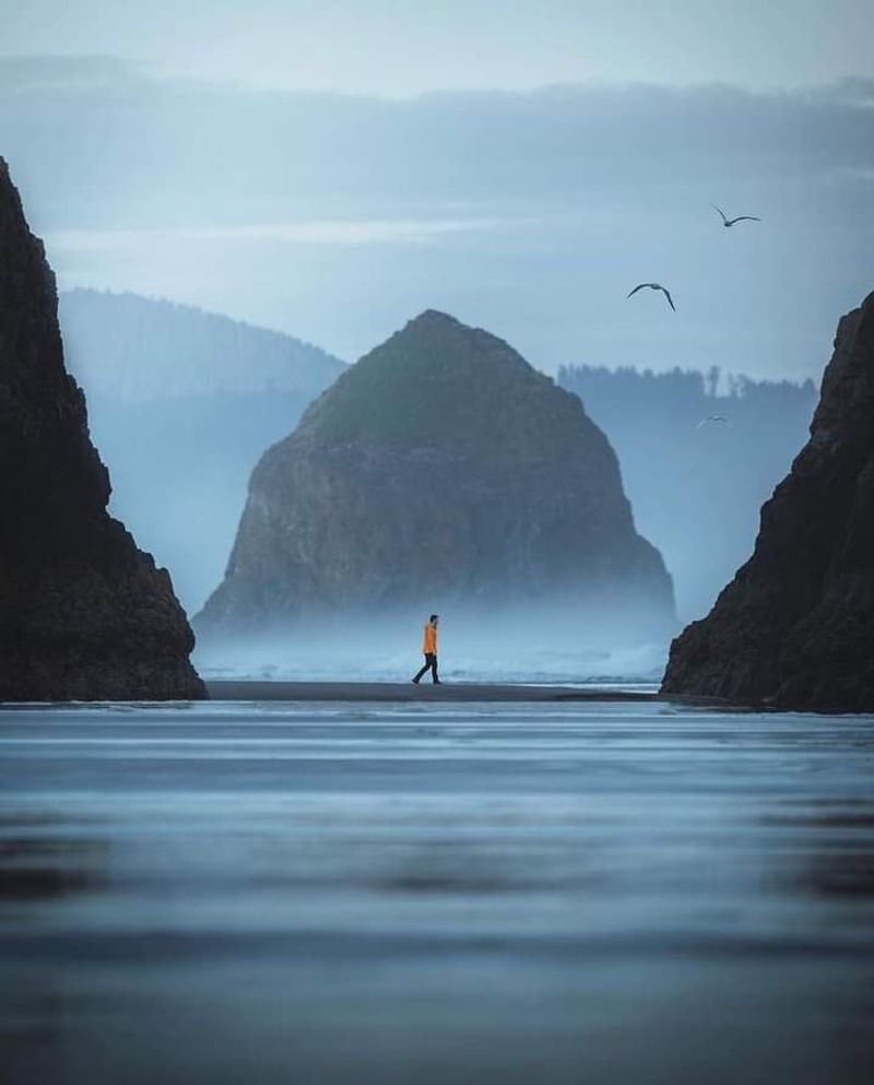
Somewhere between a planning map and a finished trail lies the Salmonberry Trail, a proposed multi-use corridor that would connect the town of Banks in Washington County with Tillamook on the Oregon Coast. Oregon Parks and Recreation Department describes it as an 82-mile corridor connecting eight cities and two counties, passing through some of the most rugged and least-traveled terrain in the state.
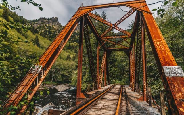
The route follows a former railroad grade through the Coast Range, and its defining feature is the Salmonberry River canyon, a place where cliffs press close, old tunnels cut through solid rock, and weathered trestles carry the grade above rushing water.
Before going further, one fact needs to be front and center: this is not an open, continuous trail. The official Salmonberry Trail project makes clear that the corridor is not available for general public recreation, that storm-damaged sections are unsafe, and that access is managed only during specific guided or volunteer events.
Anyone who reads a headline and assumes they can pack a bag and walk Banks to Tillamook this weekend is working from an incomplete picture.
Published mileage figures add to the confusion. Older planning documents describe the route as 84 miles, 86 miles, or simply “80-plus miles,” while the current working figure is about 82 miles.
Those differences reflect evolving route concepts and shifting segment boundaries, not surveying errors. Using “about 82 miles” is the most accurate shorthand available right now, with the understanding that the number may continue to be refined as planning advances.
The central question the project raises is worth sitting with: what actually exists along this corridor today, and how much work remains before the larger vision can welcome hikers, cyclists, and equestrians? The sections below try to answer that honestly, starting with the railroad that made the route possible in the first place.
A railroad once carried the Coast Range toward Tillamook
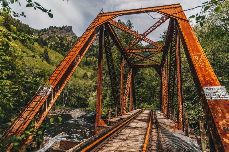
Building a railroad through the Oregon Coast Range was not a gentle undertaking. The Pacific Railway and Navigation Company drove the line from the Willamette Valley toward Tillamook between 1906 and 1911, carving a route through terrain that resisted almost every engineering method available at the time.
Workers hand-drilled tunnels through basalt and fir-covered ridgelines, erected wooden trestles above creek beds, and laid track along canyon walls where the ground was barely wide enough for a single rail. The result was a corridor shaped entirely by the landscape rather than the other way around.
Union Pacific’s historical record of the Port of Tillamook Bay Railroad traces the line through its transition from the Pacific Railway and Navigation Company into Southern Pacific control, and eventually to a 1990 acquisition of the Tillamook-to-Schefflin segment by the State of Oregon and the Port of Tillamook Bay. That acquisition laid the foundation for the trail concept by placing a significant portion of the corridor under public or quasi-public ownership.
The railroad’s industrial character is part of what makes the trail proposal compelling. The grade is already cut, the alignments already surveyed, and the general path already established across some of the most difficult terrain in the region.
A trail builder starting from scratch in this canyon would face the same engineering problems the railroad crews solved more than a century ago. In that sense, the old rail infrastructure is not just a curiosity; it is the trail’s structural backbone.
Understanding this history also helps explain why the corridor is not simply “abandoned.” The railroad changed hands, changed purpose, and changed condition over more than a century, and the story of what it became after the 2007 storm is where the trail concept truly begins to take shape.
The 2007 storm turned a rail route into a major restoration challenge
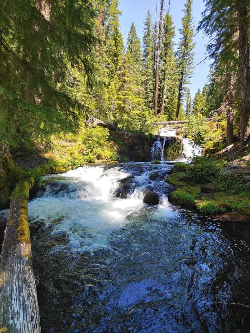
November 2007 brought a catastrophic storm to the Oregon Coast Range, and the railroad corridor absorbed some of the worst of it. The Salmonberry River section took the heaviest punishment, with bridges knocked from their foundations, tunnels compromised, rail beds undercut, and embankments washed into creek channels.
American Trails’ background on the Salmonberry corridor describes the scale of the damage as severe enough to end conventional freight operations through the remote interior sections. Union Pacific confirms that the Port of Tillamook Bay stopped operating west of Banks after the storm, effectively halting rail traffic through the canyon indefinitely.
What made the damage so consequential was the remoteness of the affected terrain. Repair crews reaching the Salmonberry River canyon face limited road access, difficult topography, and a river that can rise quickly during winter storms.
Rebuilding a functioning railroad through this section would require enormous investment, and the economics of freight rail in a canyon this remote never made that investment attractive. The corridor sat damaged and largely untouched while discussions about its future slowly gathered momentum.
Reframing the corridor as a trail rather than a railroad did not make the structural problems disappear. Every damaged bridge, every compromised tunnel, and every eroded embankment that stopped a freight train now stands as a challenge for trail engineers instead.
The Salmonberry Trail Concept Plan acknowledges that cost estimates for the corridor’s early planning phases did not include complex tunnel repairs or major bridge replacements, which signals just how significant those individual challenges are expected to be.
The storm, in a roundabout way, created the opening for the trail project. It removed the economic rationale for freight rail through the canyon while leaving the physical corridor intact enough to be reimagined.
That reimagining has been underway ever since, though the pace has been measured in years, not months.
The Salmonberry River canyon supplies the adventure story
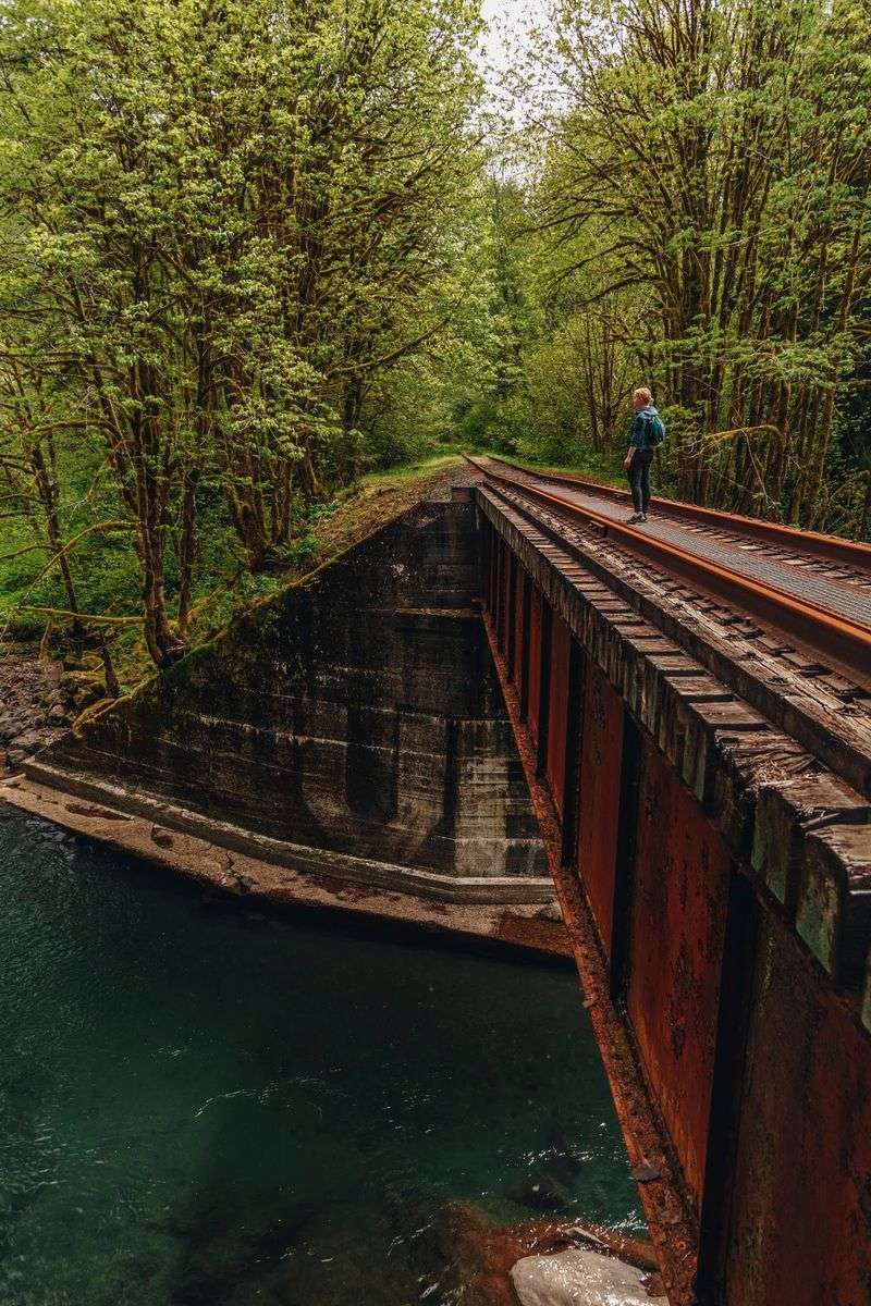
Picture a river corridor so narrow that the railroad builders had nowhere to put the tracks except directly alongside the water, sometimes on trestles suspended above the current, sometimes through tunnels bored straight through the ridgeline when the canyon wall left no other option. That is the Salmonberry River canyon, roughly 16 miles of Coast Range terrain that forms the project’s most cinematic and most technically demanding section.
The river runs cold and fast, the canyon walls press in from both sides, and the old rail infrastructure reads as both a feat of early engineering and a reminder of how indifferent this landscape is to human ambition.
American Trails’ pathway to the Pacific overview highlights the canyon section as the corridor’s defining character, combining rugged scenery with a concentration of tunnels, bridges, and trestles that no other segment of the proposed route can match. Future trail users passing through this section would experience something genuinely rare in the Pacific Northwest: a path that feels built into the mountain rather than laid across it.
The presence of those structures, though, does not mean they are currently passable. Each tunnel and trestle along the canyon will require its own engineering assessment before trail planners can determine whether repair, decking, partial replacement, or a detour around the structure makes the most sense.
The Salmonberry Concept Plan notes that bridge and tunnel upgrades were not included in early cost ranges, which reflects how complex and site-specific those decisions will be. A trestle that looks solid from a distance may require extensive structural work before it can safely carry foot or bicycle traffic.
Keeping the canyon’s geography in perspective also matters for the broader story. The roughly 16-mile tunnel-and-trestle figure applies specifically to this river section, not to the entire 82-mile proposed corridor.
The rest of the route has its own character and challenges, but the canyon is where the trail’s identity as a next-level adventure truly lives.
The corridor is not one abandoned railroad waiting for a trail surface
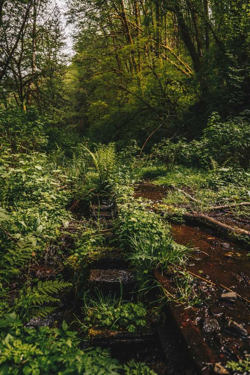
Calling the entire Salmonberry corridor an abandoned railroad is a shortcut that gets the story wrong in important ways. The Oregon Coast Scenic Railroad continues to operate on an active portion of the line, running heritage passenger excursions that give riders a taste of coastal rail travel in a region that no longer has scheduled service.
That operation matters for the trail project because active rail and proposed trail infrastructure cannot simply occupy the same space without careful coordination on design, safety, and jurisdiction.
The Salmonberry Trail project has acknowledged from the beginning that some sections of the corridor may become rail-with-trail rather than full rail-to-trail conversions. In a rail-with-trail arrangement, the trail runs adjacent to or alongside functioning railroad tracks rather than replacing them entirely.
That model requires a different set of engineering standards, safety buffers, and legal agreements than a corridor where rail operations have fully ceased.
Earlier Oregon Parks planning materials describe the River and Coast segments specifically as potential rail-with-trail areas, which signals that the trail’s design in those zones will need to account for the continued presence of railroad infrastructure and possibly ongoing train operations. For future visitors, that distinction could affect everything from the trail’s width and surface material to the hours when certain sections are accessible.
None of this diminishes the trail’s potential, but it does complicate the timeline and the planning process. Negotiating access agreements with railroad operators, satisfying federal and state rail safety requirements, and designing a shared corridor that works for both trail users and train operations adds layers of work that a simple rail removal project would not require.
The corridor’s mixed status is a feature of its complexity, not a footnote to it.
One demonstration segment is advancing while other pieces remain in development
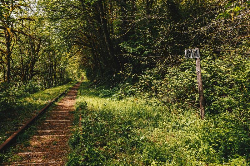
Ground work on the Salmonberry Trail is real, but it is concentrated in one specific location rather than spread across the full proposed route. The Wheeler Demonstration Project is where construction has actually begun, and it represents the project’s most tangible proof of concept to date.
Wheeler is a small coastal community on Tillamook Bay, and the demonstration segment there is designed to show what finished trail infrastructure along this corridor can look and feel like, while also building local and regional support for the larger vision.
Beyond Wheeler, the project’s current priorities break into distinct categories of work. Williams Creek Trestle planning is underway as a separate effort, addressing one of the corridor’s significant structures.
The Catalyst Loop connection near L.L. “Stub” Stewart State Park represents a near-term opportunity to link the proposed trail with existing recreation infrastructure in Washington County, giving users a way to experience part of the corridor’s character before the full route is built. Longer-term River and Canyon planning continues as well, though those sections face the most complex engineering and permitting challenges of any part of the route.
Metro’s 2024 regional trails fact sheet reported a set of milestones that deserve careful dating. As of that 2024 document, permitting was in progress, a Buxton trailhead had secured funding, eight miles of rail salvage had been completed between Banks and Buxton, bridge inspections had been finished between Banks and Cochran Pond, and a decking solution had been engineered for numerous bridges and trestles along that stretch.
The Washington County segment fact sheet from the same period provides additional detail on those specific accomplishments.
Each of those milestones represents progress on a particular piece of the puzzle, not evidence that broad construction of the full 82-mile corridor is underway. American Trails’ corridor overview frames the project similarly, as a phased effort moving from planning toward construction in targeted areas while longer sections remain in earlier stages of development.
The distinction between a funded trailhead and a finished trail is significant, and it is worth holding onto as the project continues to advance.
The full vision will demand money, engineering, and patience
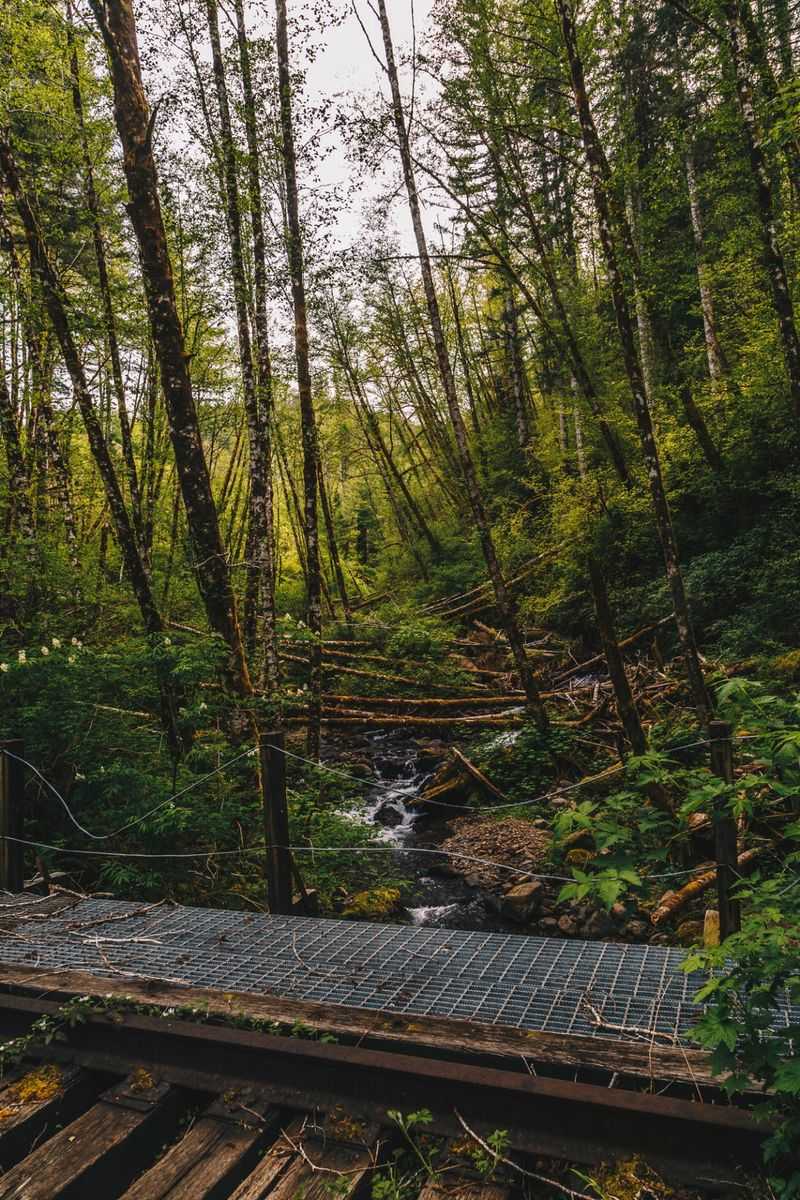
The technical demands of converting this corridor into a finished trail are not modest. Every tunnel requires its own structural inspection and a determination about whether it can be made safe for trail users, potentially involving lining, lighting, drainage improvements, or in some cases a full detour around the opening.
Every trestle and bridge carries its own load-bearing history and storm damage record. Rail beds and embankments that were built for the weight of freight cars need to be assessed for what they can support as trail surfaces, particularly in areas where water has been working at the foundation for years since the 2007 storm.
Metro’s Washington County segment fact sheet from 2024 estimated the cost of that 18-mile section alone at $37 million to $45 million, and that range explicitly excluded complex tunnel repairs. The same 2024 regional trails fact sheet identified a remaining funding gap of approximately $35 million for that segment.
Both figures should be read as dated planning estimates subject to revision as engineering work advances and funding landscapes shift.
Older concept planning documents were candid about the project’s generational scale, noting that the full build-out could take decades and that early cost ranges did not account for the corridor’s most technically demanding structures. Those projections were not pessimistic warnings so much as honest assessments of what it means to convert a storm-damaged mountain railroad into a public trail spanning two counties and dozens of engineered structures.
Governance adds another layer of complexity. Oregon Parks and Recreation Commission materials from 2025 describe a planned transition from the Salmonberry Trail Intergovernmental Agency toward a structure led by OPRD, and an August 2026 OPRD notice indicates the Executive Council was still working through governance roles and corridor-wide policy at that time.
Funding, engineering, permitting, and governance are all moving simultaneously, which is how large public infrastructure projects work, but it also means that no single milestone signals that the finish line is close.
Check official access information before going anywhere near the corridor
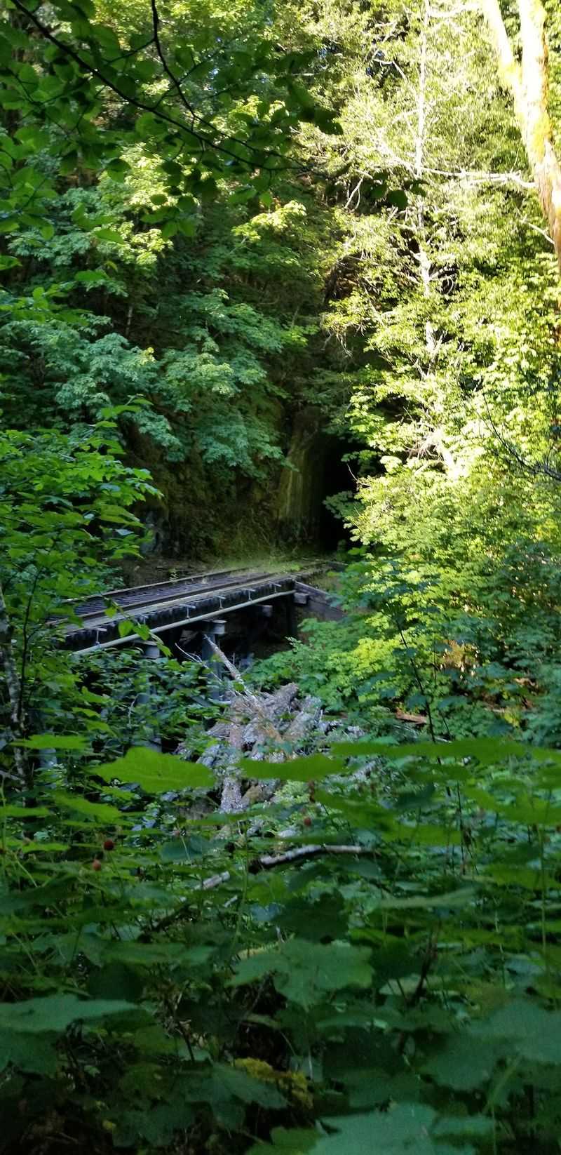
As of August 30, 2026, the Salmonberry Trail corridor is not open to general public recreation. That statement comes directly from official project sources and should be treated as the starting point for any travel planning, not a technicality to work around.
Storm-damaged sections of the route are described as unsafe, and the Port of Tillamook Bay explicitly prohibits trespassing on railroad property. Those are not soft discouragements; they are formal access restrictions with real safety and legal implications.
The official Salmonberry Trail website notes that guided hikes and volunteer work events do occur, but only when access can be managed safely and with proper authorization. Those events are distinct from independent public access, and participating in one does not imply that the surrounding corridor is generally open.
A mapped trailhead, a scenic photograph of a trestle, or a planning document describing a future segment does not establish that the area around it is safe or legal to explore on your own.
The Port of Tillamook Bay’s services and projects page is one of the sources readers should check directly before making any travel decisions involving railroad property along the corridor. Oregon Parks and Recreation Department’s official newsroom posts updates on corridor governance and access that reflect current conditions more accurately than any third-party article, including this one.
Access conditions along a corridor this complex can change based on project phase, seasonal safety factors, and ongoing negotiations between managing agencies. Rechecking official sources immediately before any planned visit is not optional caution; it is the only responsible approach to a route where storm damage, active railroad operations, and phased construction all intersect.
The Salmonberry Trail’s future may be extraordinary, but that future is still being built, one carefully engineered segment at a time.
Share this story