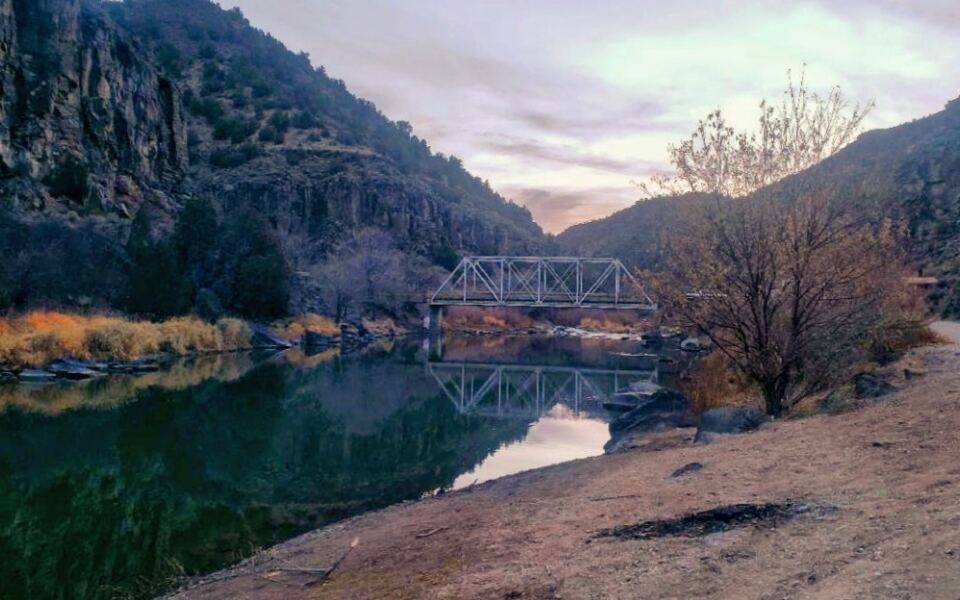
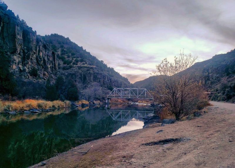
Some of the best places in New Mexico start as a wrong turn on a narrow road. Down at the bottom of the Rio Grande Gorge, past tight corners and steep drop offs, an old bridge from 1930 still spans the river.
The Taos Junction Bridge rewards anyone brave enough to make the trip with towering cliffs, clear water, and plenty to do once the brakes finally cool off. Here is what makes the journey worth every nervous mile.
A Bridge at the Bottom of the Gorge
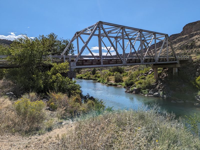
Far below the rim of the Rio Grande Gorge, a modest crossing ties the two sides of the river together. The Taos Junction Bridge sits along NM-567, Taos, NM 87531, in the state of New Mexico, with mailing records also placing it near Embudo.
The bridge marks the northern end of Orilla Verde State Park. That location makes it a natural meeting point for hikers, anglers, rafters, and road trippers who end up sharing the same small stretch of riverbank.
It is not a famous landmark in the way the high steel bridge near Taos is. In fact, more than a few people have gone looking for that bigger bridge and landed here instead.
Plenty of them leave glad about the mix-up. A low crossing, cliffs on every side, and an open-all-hours schedule give this spot a quiet appeal that sneaks up on people who never planned to stop.
Nearly a Century Over the River
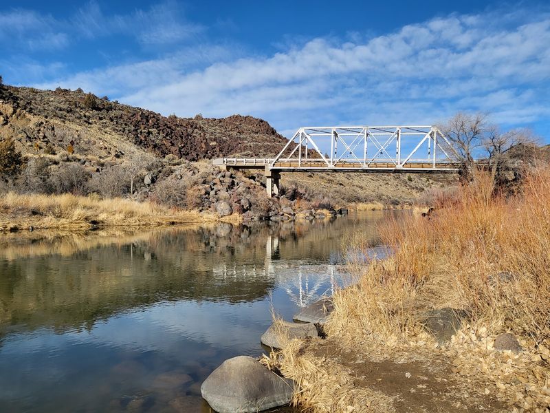
Back in 1930, workers finished a river crossing that has outlasted many newer structures. The Taos Junction Bridge has now stood over the Rio Grande for close to a hundred years.
That age is part of the charm. People who stop here often describe the old bridge as still standing proudly, framed by high cliffs and a ribbon of green along the water.
Its job has always been practical. The crossing links the east side of the river near Pilar with a road that climbs the west wall of the gorge, giving travelers a way across a canyon that would otherwise block their path.
Today it serves more as a gathering point than a busy route. Families picnic nearby, boaters launch close by, and anglers line the banks within sight of its span.
Not bad for a structure built during the early 1930s, when this canyon was even more remote than it feels now.
The Road That Tests Your Nerves
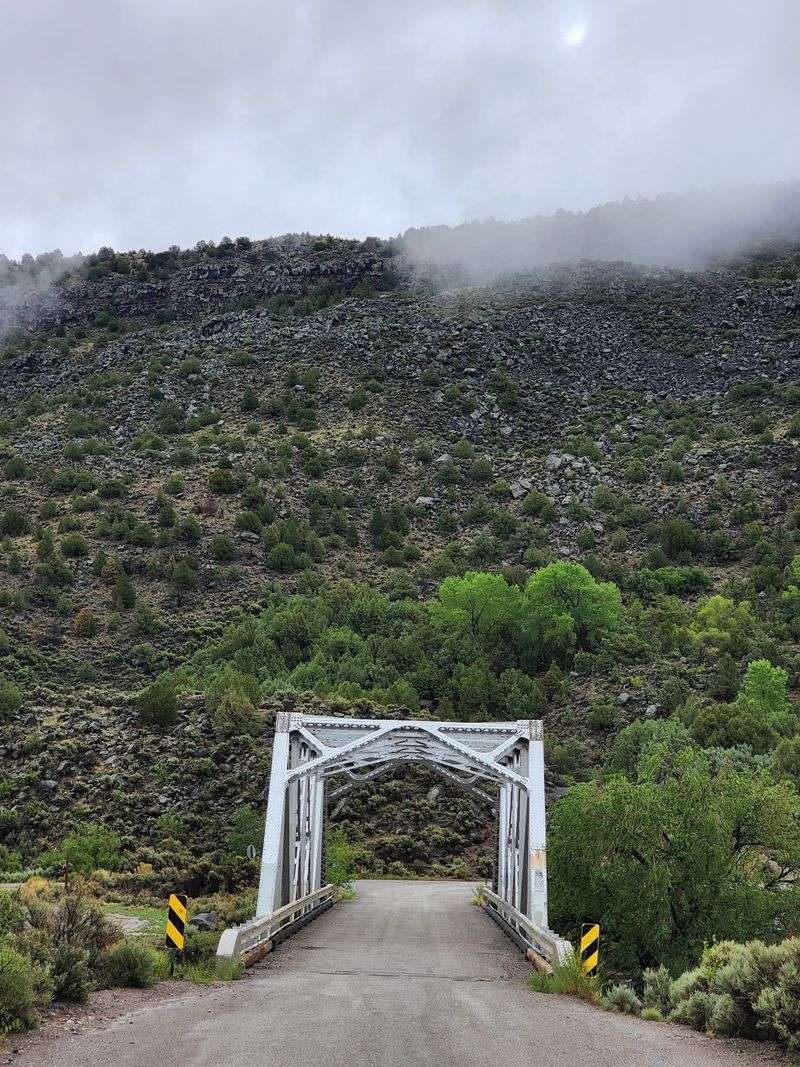
Brakes get a real workout on the way down. The descent into this part of the gorge is steep, narrow, and full of corners that demand patience.
Coming from the west, the road is rough dirt with drop offs and little room to spare. Many describe it as sketchy, and some admit the ride felt a little scary before they reached the bottom.
The east side offers a gentler option. A short drive west off Highway 68 at Pilar leads down to the bridge, and past the bridge the road is paved.
The best advice is simple. Take the corners slow, watch the brakes, and expect to share the road with plenty of cyclists.
Beyond the bridge, the westbound road turns to dirt and climbs uphill toward the rim. Without all wheel drive, turning back at the river is often the smarter choice.
Cliffs, Clear Water, and Big Views
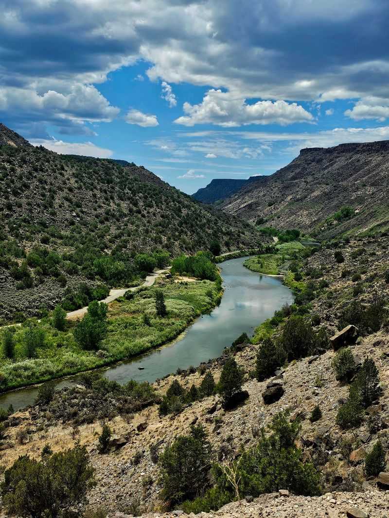
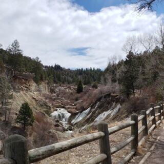
Views come up again and again when people talk about this place, and for good reason. The gorge walls rise sharply above the river, creating a dramatic setting from the moment the road levels out.
The Rio Grande here often runs clear and blue. Green growth along the banks stands out against the tall cliffs, giving the canyon floor a lively contrast.
Fall gets special praise. The paved stretch beyond the bridge is called absolutely beautiful in autumn, which makes that season a strong pick for scenic drives.
Even so, the area earns compliments in every season. Regulars say it is worth a visit at any time of year.
Photographers and painters will find plenty to work with. Some people come simply to set up an easel by the water and spend the day capturing the canyon.
One wrong turn here can easily become the best part of a trip.
Trout Waters for Patient Anglers
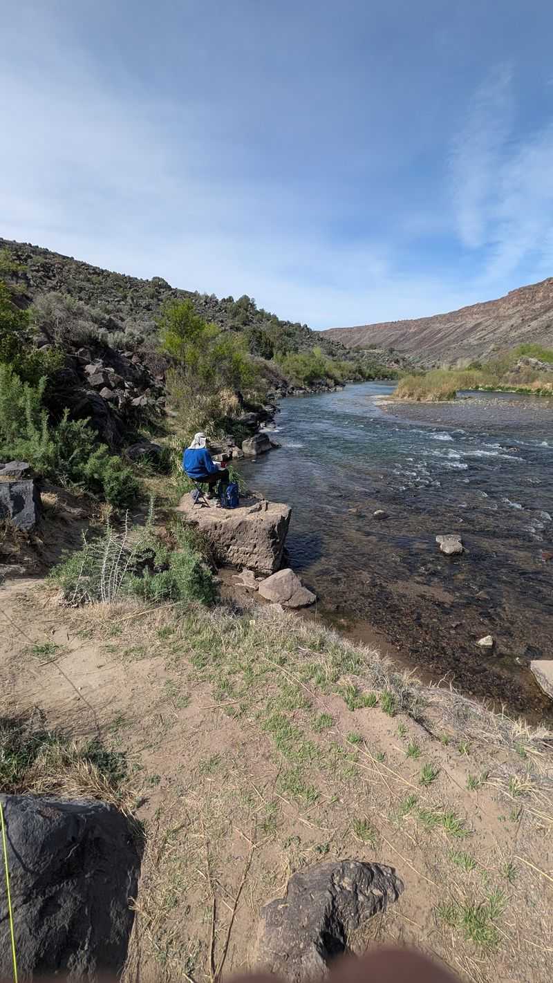
Fishing lines are a common sight along this stretch of river. Anglers show up in good numbers, and the water gives them plenty of reasons to return.
The list of species is impressive. Rainbow, brook, and brown trout all swim here, along with smallmouth bass and Sonora suckers.
Some catches are worth bragging about. One recent trip produced a 16 inch brown trout landed on a wet fly, the kind of story anglers repeat for years.
Clear water helps make the fishing appealing. It also adds to the scenery, so even slow days on the river still come with great surroundings.
The banks near the bridge are easy to reach from parking and day use areas. That convenience makes it a friendly option for a quick session or a full day spent working different spots.
Bring patience, a little gear, and maybe a camera for proof.
Launch Point for River Runners
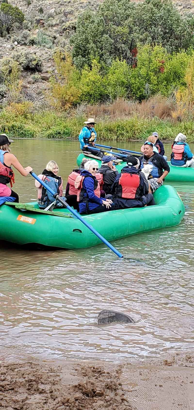
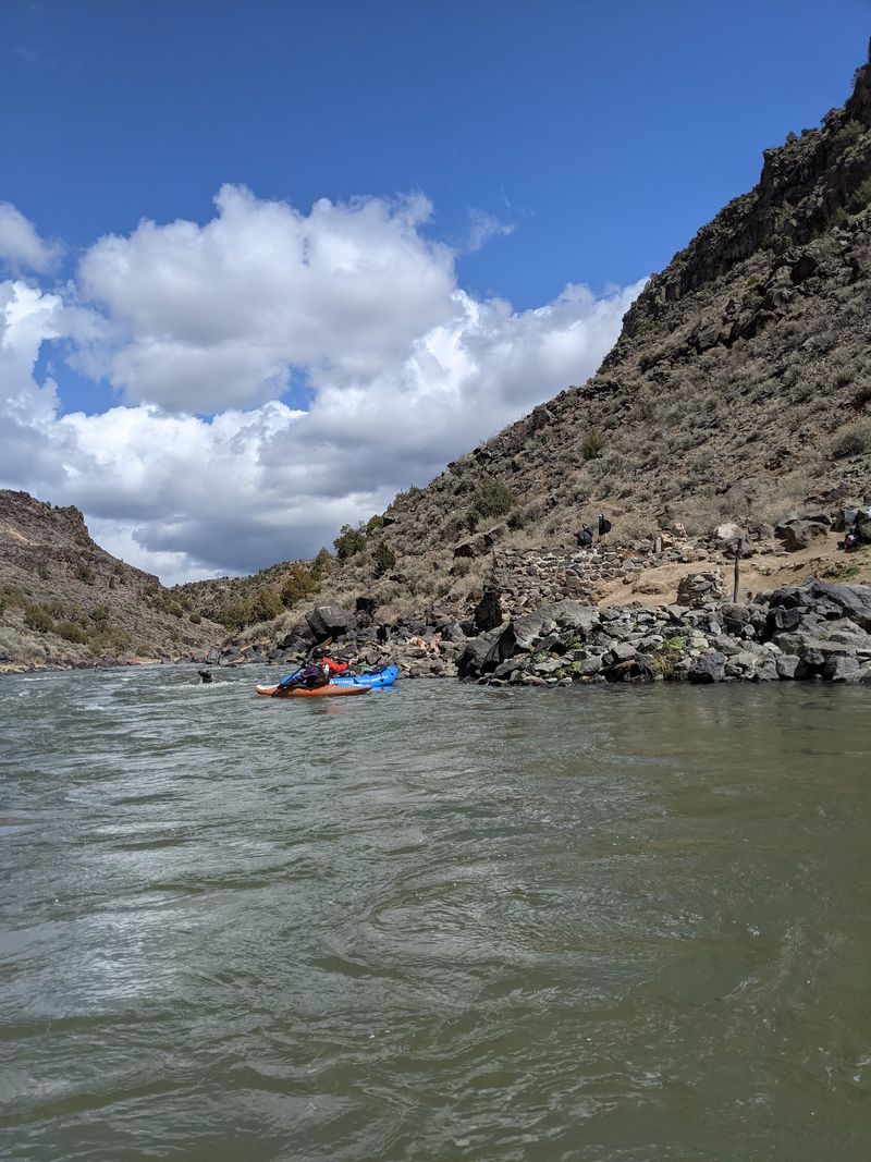
Rafts, kayaks, and inflatables all find a home at the boat ramp near the bridge. River trips both start and finish in this busy corner of the gorge.
Paddlers coming through the more adventurous Lower Taos Box often take out here. It lets them avoid much of the flatwater farther downstream.
For a calmer float, the area also works as a put-in heading south. The run down to Quartzite features smaller class 2 rapids that suit relaxed trips.
A key warning applies. Pulling out at Quartzite matters, since continuing past it leads into class 3 and 4 water.
River levels change, and some seasons bring low water. Even then, a gentle float is often still possible.
Weekends tend to get very crowded because of the ramp. Early arrivals or weekday trips make launching much easier for anyone hoping to avoid the rush.
Trails That Climb and Wander
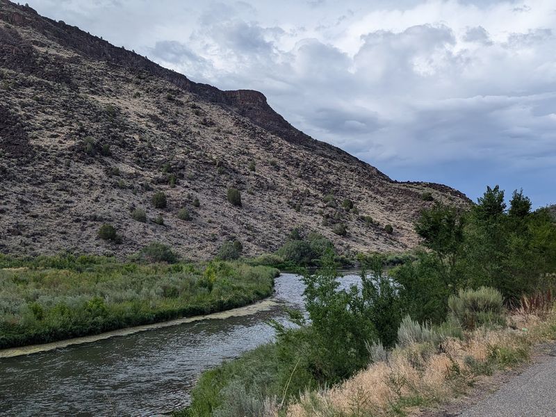
Hikers have more choices here than the small parking areas might suggest. Short paths follow the river, while longer routes head up toward the rim.
One option leads to a viewpoint over Sunset rapid. It is a modest walk with a rewarding look at moving water below.
Another route heads up the east side of the river and along the winding Rio Pueblo de Taos. It follows a road now closed to cars, climbing all the way to the rim.
The west wall draws plenty of attention too. Climbing that side is called stunning, offering wide views back over the canyon.
For something easier, the day use areas connect to short trails along the Rio Grande. These suit families or anyone wanting a quick stretch after the drive.
Good shoes and water are smart picks, since many routes gain elevation quickly once they leave the river.
Picnics, Camping, and Easy Afternoons
Not every trip needs a plan. Some of the best days here involve a picnic table, a cooler, and nowhere urgent to be.
Picnic areas and restrooms sit right at the bridge location. Parking is described as great, which helps a lot after a tense drive down.
Campgrounds line the river both north and south of the bridge. Several sit right off the road, so setting up close to the water is simple.
Swimming is popular on warm days, and the area is dog friendly. Splashing in the river ranks high on many lists of favorite activities.
The grounds are kept clean, adding to the relaxed mood. Painting, wandering, and simply watching the river are all common ways to pass the time.
One note on parking fees: some spots near the river require payment, while areas above may not. Checking signs before leaving the car saves surprises.
Worth Every Careful Corner
Few places make such a strong case for leaving the main highway. The steep road may raise heart rates, but the canyon floor quickly calms things down.
Access is open 24 hours every day of the week. That flexibility lets travelers plan around crowds, light, or fishing conditions.
Weekdays offer more breathing room, especially near the boat ramp. Weekends bring busier banks and fuller parking.
The appeal is wide. Anglers, paddlers, hikers, campers, painters, swimmers, and dog owners all find something to enjoy in one compact area.
Arriving from Highway 68 at Pilar keeps the drive gentler, while the west side suits sturdier vehicles and steadier nerves.
An old bridge, a clear river, and towering walls make a simple combination. Together, they create a stop that many people call a must visit.
Bring patience for the road and leave room in the schedule, because one quick look often turns into a full day.
Share this story