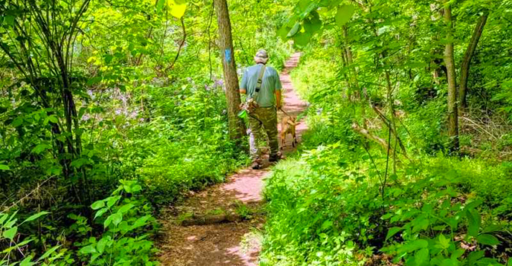
One little-known trail in Central Pennsylvania manages to pack a creek, wildflower-filled woods, open meadows, and sweeping valley views into a loop of only about two miles. The main climb gains roughly 125 feet through a series of switchbacks before reaching multiple overlooks high above Buffalo Creek.
Spring gives hikers an especially good reason to visit. An inventory of the property has documented 67 wildflower species, including hepatica, anemone, and wild ginger, along with 48 bird species that increase during migration.
There is also more history here than the short distance suggests. Before hitting the trail, visitors pass a limestone farmhouse built around 1790 by a Revolutionary War officer, adding a 230-year-old story to a hike that already delivers far more than its mileage would suggest.
Where the Trail Begins: Address, Location, and First Impressions
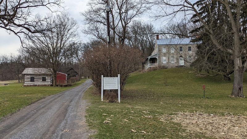
The adventure starts at T450, Strawbridge Road, Lewisburg, Pennsylvania 17837, tucked along the south bank of Buffalo Creek in Union County. Getting there is straightforward: head north or south on US 15, then turn onto Buffalo Road or Col John Kelly Road, and follow the signs toward the Dale-Engle-Walker Farmstead.
A small parking area greets you right off the road, and if you follow the stone lane back toward the historic farmhouse, you will find additional spots. The trailhead kiosk is the first thing worth pausing at, stocked with printed brochures that include a trail map and numbered points of interest keyed to signs along the path.
The trail is maintained by the Merrill W. Linn Land and Waterways Conservancy and is open every day of the week. That first step onto the natural-surface path, with the sound of the creek already audible and the canopy closing overhead, sets a tone that the rest of the hike delivers on completely.
The Historic Farmstead That Sets the Scene
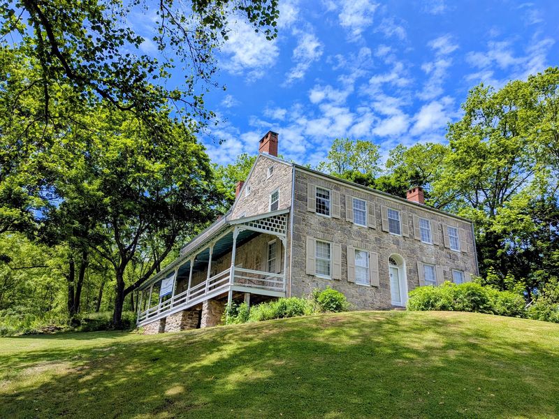
Before a single step is taken on the trail itself, the Dale-Engle-Walker House commands attention. Built around 1790 by Samuel Dale, a Scots-Irish immigrant and Revolutionary War officer, the front section of this Georgian-style limestone structure has stood on this hillside for well over two centuries.
The floors inside were laid with American Chestnut quarter-sawn boards, and the walls were cut from local limestone pulled straight from the surrounding land. Samuel Dale was not the last to leave his mark here. In 1929, the Engle family turned the property into the J.B. Engle Dairy, delivering milk to nearby communities.
Then, in 1957, Charley and Rosemary Walker took ownership, and Rosemary’s passion for gardening shaped the grounds around the house into something truly special.
The Walker estate eventually donated the entire 137-acre farmstead to the Union County Historical Society in 2000, with a conservation easement held by the Linn Conservancy protecting it in perpetuity. History literally surrounds you before the hike even begins.
Walking Beside Buffalo Creek: The Floodplain Section
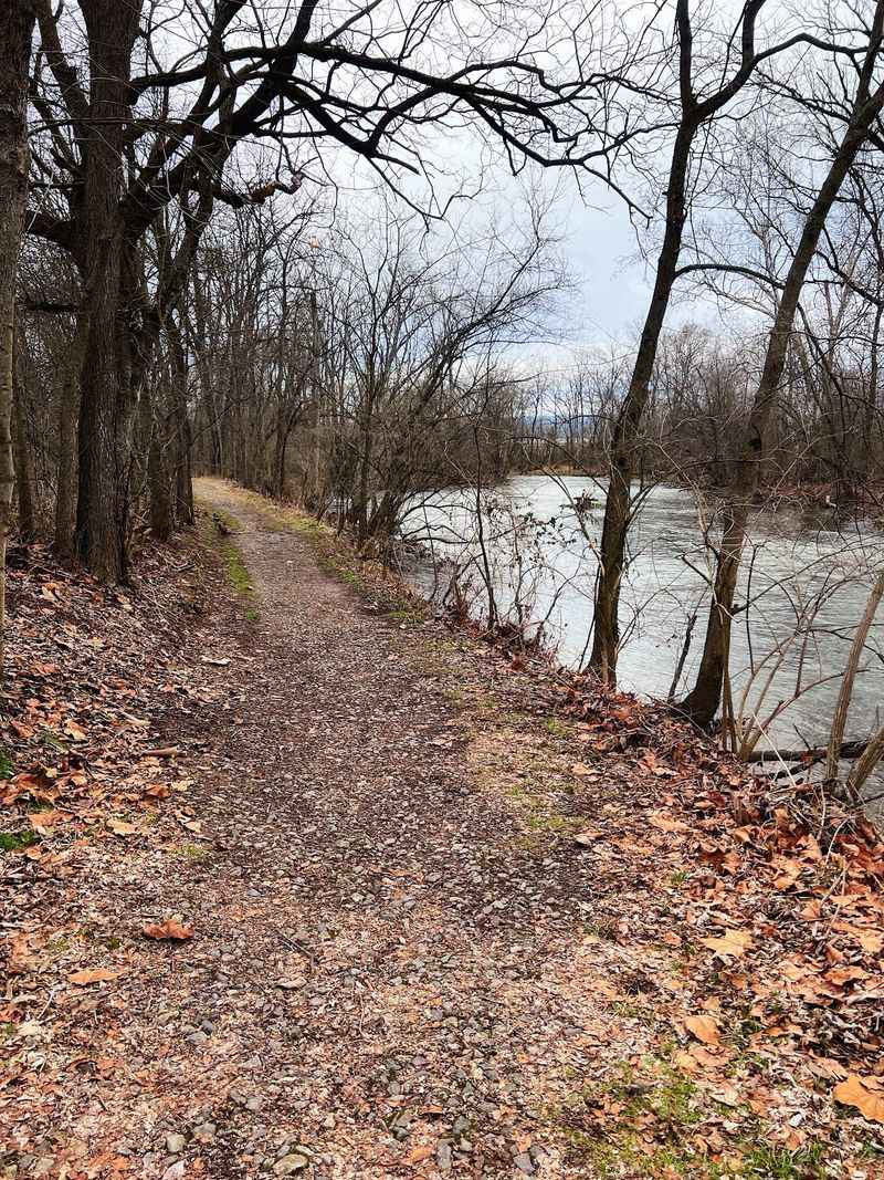
Right out of the gate, the trail follows the south side of Buffalo Creek, and the creek makes its presence known immediately. The water moves with a calm, steady rhythm, and the sound of it carries through the trees like a low, continuous hum that never gets old.
The floodplain here supports an impressive array of tree species. Towering sycamores dominate the landscape, their bark peeling away in creamy white and tan patches, reaching heights of up to 100 feet. Bitternut hickory, black ash, hackberry, and boxelder fill in around them, creating a dense, layered canopy that keeps this section pleasantly cool even on warm days.
A notably large tree appears on the left not far from the parking area, and it is hard to miss. The roots and rocks along this stretch can make footing slightly uneven, so watching your step is worthwhile. Bug spray is a smart addition to your pack near the water, especially in summer. The creek sets the mood for everything that follows.
The Switchbacks: A Short Climb With a Big Payoff
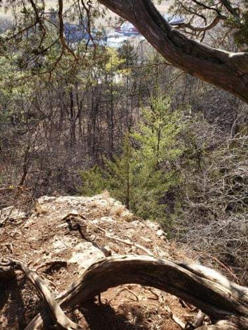
About ten minutes into the hike, the trail shifts gears. The gentle creek-side stroll gives way to a moderately steep incline, and a series of switchbacks begins climbing the ridge. This section is roughly 125 feet of elevation gain, which sounds modest but earns its reputation for getting your lungs working.
The path narrows here, and exposed roots and rocks require a bit of attention underfoot. After rainfall, the switchbacks can become slippery, so proper footwear makes a genuine difference. Hiking poles are a worthwhile addition if you have them, especially on the descent.
For families with toddlers or anyone who prefers a gentler approach, there is an alternative route starting from near the farmhouse that reaches the upper ridge with a more gradual climb, bypassing the steepest section entirely. That flexibility is one of the trail’s quiet strengths. But for those who take the switchbacks head-on, the reward waiting at the top makes every huffing step feel entirely justified. The ridge does not disappoint.
Ridge-Top Views Over the Buffalo Valley
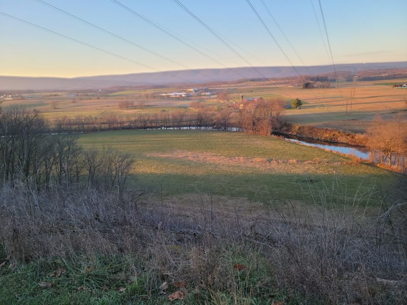
The moment the trees open up and the ridge-top overlook appears, the effort of the climb completely dissolves. Nearly 160 feet above Buffalo Creek, the Buffalo Valley spreads out below in a wide, peaceful panorama of farmland, forest patches, and distant ridgelines that define Central Pennsylvania’s Valley and Ridge landscape.
On a clear day, the view stretches for miles, with the serpentine path of Buffalo Creek visible as a silver thread winding through the patchwork of fields. The sky feels bigger up here, and the quiet is the kind that you do not realize you were craving until you are standing in it.
Benches are placed at the overlook, which turns out to be a genuinely thoughtful touch. Sitting down, sipping water, and simply watching the valley breathe below you is one of those unhurried pleasures that no photograph quite captures. Multiple vistas appear along the upper ridge section, so the views keep giving long after the first overlook. This is the trail’s undisputed highlight.
A Wildflower Paradise Hidden in Plain Sight
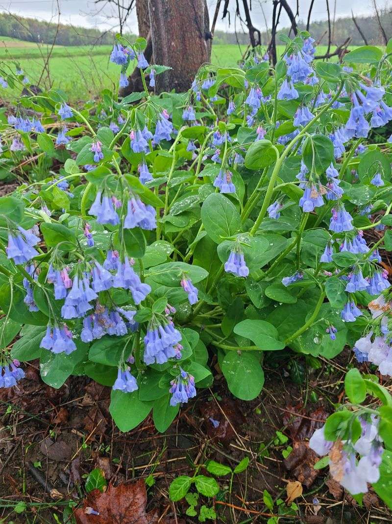
Spring transforms the forest floor along this trail into something that feels almost too vivid to be real. Before the hardwood canopy fully leafs out, sunlight floods the understory and ignites a remarkable display of wildflowers that the trail has become genuinely well known for among local nature enthusiasts.
Hepatica appears first, its small lavender and white cup-shaped blooms emerging with quiet confidence among last autumn’s leaves. Anemone, sometimes called windflower, follows close behind, its delicate white and pink petals swaying on wiry stems. Wild ginger grows low and secretive, its reddish-brown bell-shaped flowers tucked beneath heart-shaped leaves and easily missed by anyone not paying attention.
A biodiversity inventory of the property has documented 67 species of wildflowers across the trail’s varied habitats, which is a number that rewards repeat visits across the season. Each week of spring brings something different into bloom, and the transition from bare ground to a full floral display happens quickly enough that timing your visit even a week earlier or later changes the experience noticeably.
Three Ecosystems in Two Miles: The Habitat Variety
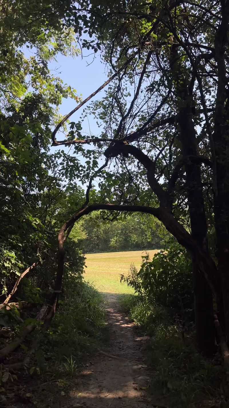
Two miles rarely feel this ecologically rich. The trail moves through three genuinely distinct habitat types within its compact loop, and the transitions between them are abrupt enough to feel like turning the page on a new chapter of the natural world.
The creek floodplain at the base is lush and frequently refreshed by seasonal high water, supporting a dense mix of tree species and a cool, damp atmosphere. Moving upslope, the mature hardwood forest takes over, its canopy closing tightly overhead and the forest floor growing quieter and more shaded. The air temperature drops noticeably in this section, and the scent of rich earth and old leaves becomes the dominant sensory detail.
At the top, former agricultural fields have transitioned into open meadow habitat, sun-warmed and buzzing with insect activity in the warmer months. The combination of these three zones, each supporting different plants, birds, and insects, is what gives the trail its remarkable biodiversity numbers. Thirty tree species and six fern species have been documented here, which is a lot for a two-mile loop.
Seasonal Shifts: How the Trail Changes All Year
One of the quieter pleasures of a trail like this is how thoroughly it reinvents itself with each season. Spring gets most of the attention for obvious reasons, with the wildflower displays and the surge of migratory birds creating a sensory experience that is hard to match. But returning in summer reveals a completely different trail, one wrapped in dense green shade that makes even humid days feel manageable.
Autumn is where the mature hardwood forest truly earns its keep. The canopy ignites in reds, oranges, and golds, and the ridge-top views take on an extra dimension when framed by that explosion of color. The valley below looks almost painted on those clear October afternoons.
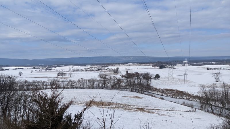
Winter visits require more caution, particularly on the switchbacks where ice can form, but the bare trees open up sightlines into the woods that simply do not exist in other seasons. The skeletal canopy also reveals the ridge’s geological character more clearly, with exposed limestone bedrock becoming more visible along the path. Each season gives you a genuinely different reason to return.
Practical Tips for a Smooth Visit
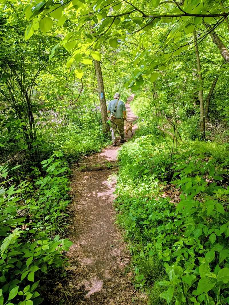
A few practical notes make the difference between a comfortable outing and a frustrating one here. Footwear matters more than it might seem: the switchback section becomes genuinely slippery after rain, and the creek-side path has enough exposed roots and uneven ground to make trail shoes or light hiking boots a smarter choice than casual sneakers.
Parking is free, and spots are usually available both at the road-side pull-off and further back near the farmhouse. The trailhead kiosk stocks brochures with a trail map and numbered interpretive stops, and picking one up before you start adds real value to the walk. There are no restrooms or trash cans on the trail, so packing out whatever you bring in is the expected and respectful standard.
Leashed dogs are welcome, which adds to the trail’s appeal for pet owners. The property closes during antlered and antlerless deer hunting seasons, so checking the Merrill W. Linn Land and Waterways Conservancy website before visiting in late autumn is a worthwhile precaution. Bug spray near the creek in summer is a practical must.
Conservation Stewardship: Why This Trail Still Exists
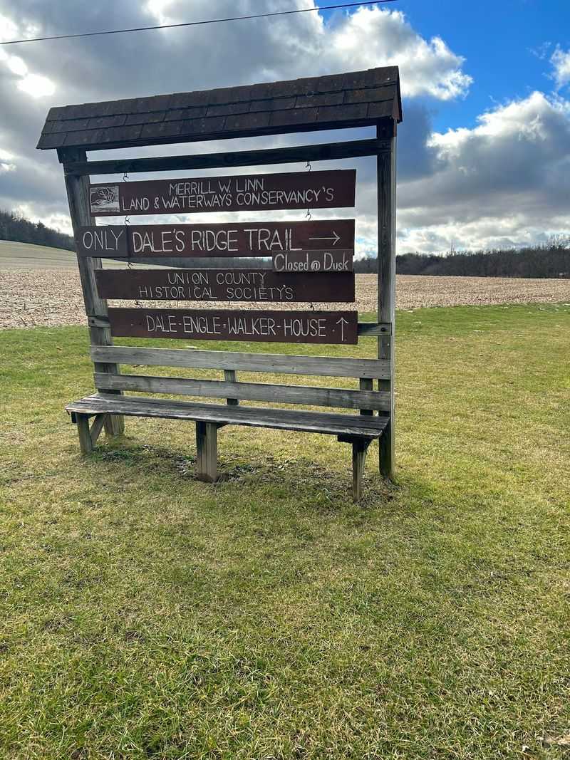
The fact that this trail exists at all, in the condition it does, is not an accident. The Merrill W. Linn Land and Waterways Conservancy holds the conservation easement on the Dale-Engle-Walker Farmstead, legally protecting it from development and ensuring it remains a public natural resource. The Conservancy works across Union, Snyder, and Upper Northumberland counties to preserve land with significant scenic, environmental, and ecological value.
Rosemary Walker’s foresight in establishing the conservation easement before the estate was transferred to the Union County Historical Society in 2000 was the move that secured the trail’s future. Without that legal protection, this hillside could look very different today. The Conservancy’s ongoing involvement means the trail stays well-maintained, the interpretive materials stay current, and the ecological health of the property continues to be actively monitored.
Visiting this trail is, in a small way, a vote for this kind of stewardship. The more people who discover and appreciate protected spaces like Dale’s Ridge, the stronger the case becomes for preserving others. That is a satisfying thought to carry on the walk back down to the creek.
Share this story