You round a bend in southwest Oklahoma, and granite hills rise out of the prairie like the backs of sleeping giants. Somewhere in that rugged scenery, a story says, outlaw gold was hidden long ago.
That tale is a real piece of Oklahoma folklore, but nobody has confirmed a single coin of it. Here is how the legend grew, what it does and does not prove, and how to enjoy the real hills on trails made for visitors.
How the Wichita Mountains Tale Became Popular
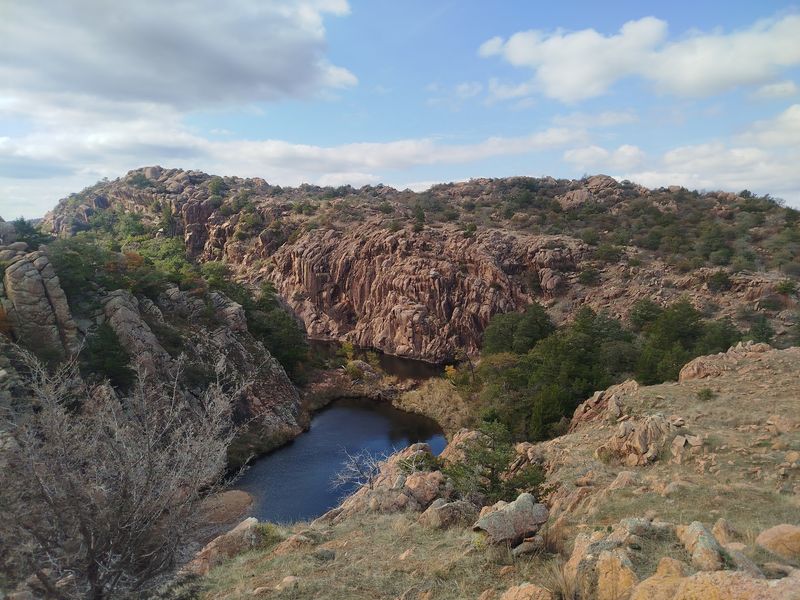
Every region has a story it tells around the fire, and southwest Oklahoma has one about buried gold. The tale says outlaw loot was hidden somewhere in the Wichita Mountains.
It is a legend, and no recovery of any such cache has been documented.
The Oklahoma Historical Society’s James Gang lore entry describes the cache as supposedly hidden. It also says the tale was popularized by J.
Frank Dobie’s 1930 book. Notice the wording: the book helped spread the story, but it did not invent it, and it did not prove it.
Legends tend to travel by retelling, and each teller adds a little color. A Lawton-area newspaper feature from 1985, digitized by the Gateway to Oklahoma History, shows the story still being retold decades after Dobie.
That tells us the tale kept circulating. It does not tell us that any detail in it is true.
So think of this as a piece of local storytelling, the kind that makes a landscape feel like it has secrets. It is a great reason to get curious about the place.
It is not a treasure map, and nothing here suggests crowds are chasing it today.
What the Clues and Hunter’s Claim Establish
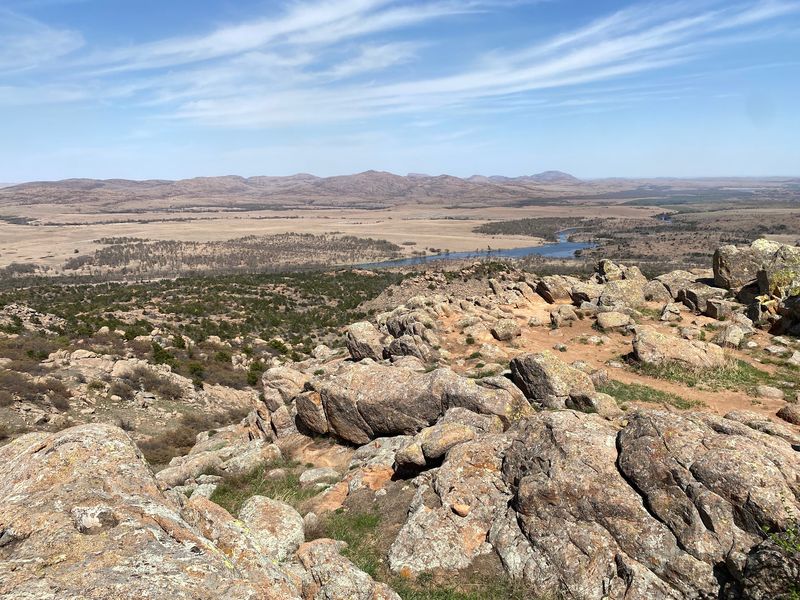
Legends love details, and this one has plenty. Later retellings mention carved clues, a brass bucket, and a place called Tarbone Mountain.
Those pieces belong to versions of the lore, and no source reviewed here authenticates any carving, map, object, or cache location.
Then there is Joe Hunter. According to the Oklahoma Historical Society, a Lawton resident by that name claimed in 1948 that he had found clues to buried gold.
Read that sentence slowly: it records a claim about clues. It does not show that he found gold, recovered gold, or read a genuine marker.
The 1985 feature in The Sunday Constitution is handy for a different reason. It shows how the story looked when it was retold later, bucket and mountain name included.
A retelling is evidence that people were talking, not evidence about what happened first.
A good test for any treasure tale is to ask who saw the object, who examined it, and where it is now. Here, those answers are missing.
That leaves us with a fun piece of folklore and a healthy reason to keep our shovels at home.
The James Connection Remains Unproven
Jesse James is one of the most famous names in American outlaw history, which is exactly why his name gets attached to so many stories. The Oklahoma Historical Society notes that historians generally discount accounts linking the James brothers to Indian Territory.
It also says hard evidence for a lengthy gang connection to Oklahoma is lacking.
That means the Wichita Mountains story cannot be presented as settled Jesse James history. Nobody can say for certain that he visited the Wichitas, hid a particular amount of gold there, or left behind a genuine map or contract.
The OHS entry treats the cache as a supposed one.
One more piece is worth keeping in its own box. Frank James may have lived on a farm near Fletcher, and that is a separate question from the alleged cache.
Even if it were fully confirmed, a brother’s home in the area would not show that Jesse buried anything nearby.
Picture three separate jars on a shelf: the supposed cache, Frank’s possible farm, and Joe Hunter’s later claim. None of them proves what is in the others.
Keeping them apart is the best way to enjoy the tale without being fooled by it.
The Real Landscape Behind the Legend
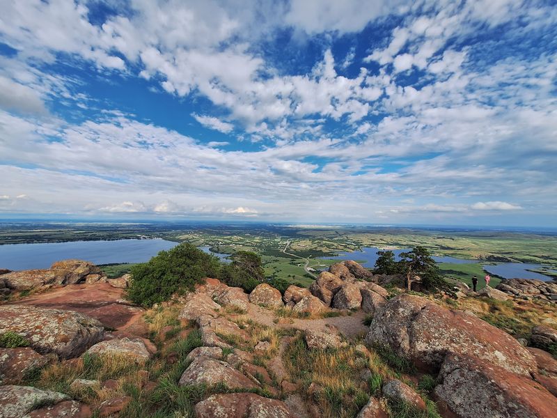
Set the folklore aside for a moment, and the setting is still the star. The Wichita Mountains Wildlife Refuge offers designated trails that wander through rocky hills, prairie, and around lakes.
Those are real places with real names, and you can see them for yourself.
It helps to remember that the Wichitas describe a broad region. The legend does not point to a confirmed spot, and the sources reviewed do not show that Tarbone Mountain or any supposed cache site is an open public destination.
The official Refuge map even warns that not all mapped land is open to the public.
So how should a story lover use the landscape? Treat it as a backdrop that makes the old tale easier to imagine.
Standing on a rise with granite all around, it is easy to see why people have wondered what might be tucked away.
That is an interpretation, not a proven reason anyone visits today. Hike for the views, the wildlife, and the wide Oklahoma sky.
Leave the treasure hunting in the storybook.
Official Trails for a Day in the Wichitas
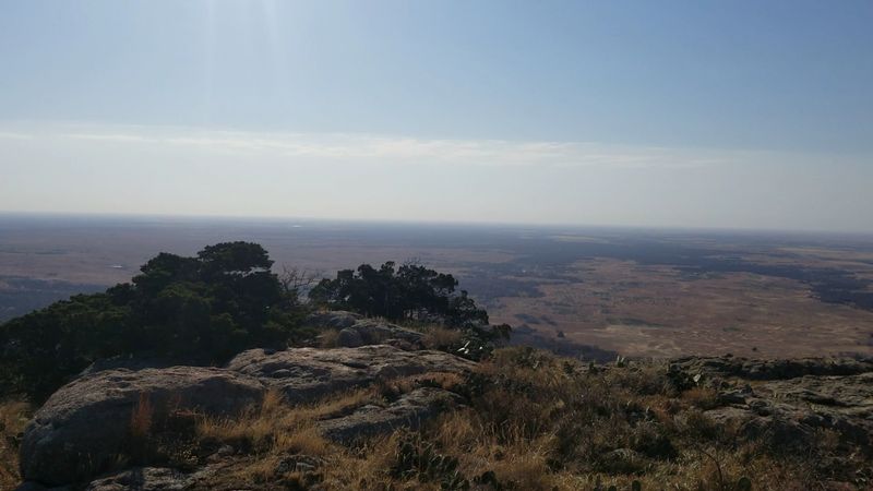
Ready to lace up? Start with the easy ones.
The Jed Johnson Tower Trail runs 0.5 miles, and the paved Lake Elmer Thomas Trail runs 1 mile, according to the Refuge’s visitor page. Both suit a relaxed outing with views and no scrambling.
If you want a workout, the Refuge rates the 1.1-mile Elk Mountain Trail and the 2.4-mile Charon’s Garden Trail as difficult. Short distance does not mean simple, since rocky footing can slow you down.
Plan extra time and wear sturdy shoes.
The agency advises preparation for the harder routes, including plenty of water. For Charon’s Garden, it also recommends a pickup plan, so decide with your group how and where you will meet up at the end.
None of these routes leads to treasure, and none should be treated that way. They are simply good ways to see the real hills.
Before you go, check the Refuge’s current alerts and map, because temporary conditions or closures can change access.
Refuge Rules and Essential Visit Guidance
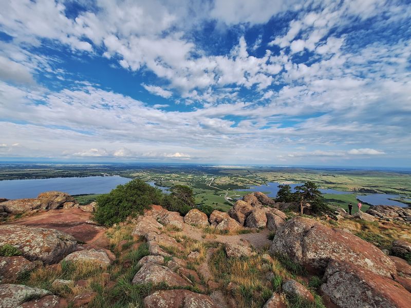
Here is the plain rule: hiking is welcome, and treasure hunting is not. The Refuge activity rules prohibit treasure searches and metal detectors, and they forbid disturbing or collecting artifacts.
Please do not dig, and do not take rocks or minerals home.
Rock surfaces are protected too. The Refuge’s climbing guidance bars chiseling, chipping, or otherwise defacing rock, so no carving your own clues.
The official Refuge map also warns that not all mapped land is open to the public, so stay on designated routes.
Now the practical bits from the Refuge visitor page. Bring your own water, since there is no potable drinking water at the Refuge.
Carry a map because cell coverage is spotty, and tell someone your plans if you hike alone.
Give free-roaming bison and longhorn plenty of space and never approach them. Hiking and picnicking are limited to daylight hours, so start early.
Check current alerts and access information before you leave home.
Natural Gold Reports Are Not Treasure Evidence
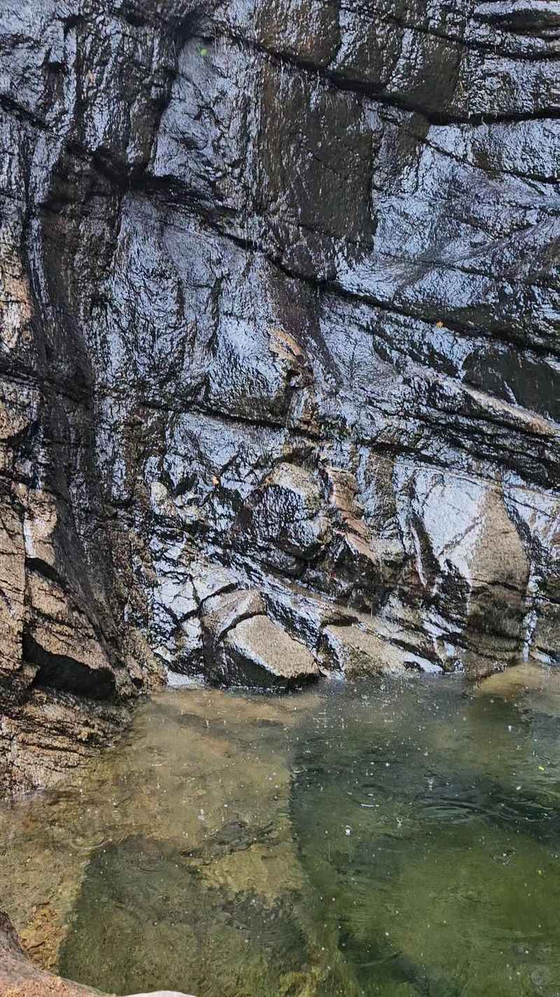
Gold in the ground and gold in a legend are two very different things. A U.S.
Geological Survey bulletin, Reported Gold Deposits of the Wichita Mountains, is a historical look at reports of natural mineral deposits in the region. It is about geology, not outlaws.
A more recent USGS account of geologic mapping in Oklahoma says trace amounts of gold and silver have been reported in the region. Trace amounts are tiny, and a report of them is not a promise of anything you could find.
Neither source says a word about a James gang cache. Natural gold reports do not verify the legend, and the legend does not explain the geology.
Mixing them up would make a good story sound like a fact.
These reports also do not create a prospecting opportunity on Refuge land. Collecting rocks and minerals there is off limits.
If the geology interests you, enjoy it with your eyes and a camera.
Enjoy the Trail Without Chasing a Cache
The story of the lost gold is well documented as a story, since the Oklahoma Historical Society records its retelling, while its claims remain unresolved. Pick an official trail from the Refuge’s activity list, follow the rules, and let the scenery be the prize.
The best thing buried in these hills is the quiet, and it costs nothing to take home.
Share this story