A dam broke in 1933, and the flood rushed all the way toward Denver. The broken wall still stands in Colorado today, and you can walk right up to it.
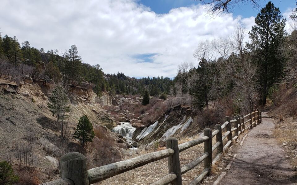
I like that this story is real and easy to see. The ruins sit inside a canyon with a creek, a small waterfall, and tall rock walls.
I can’t imagine a better history lesson than one you can hike to.
The park sits south of the big city, so you don’t need a mountain drive. Trails run from paved and easy to steep and rocky.
So what exactly is waiting at the end of that dam trail?
A Broken Dam With A Big Story
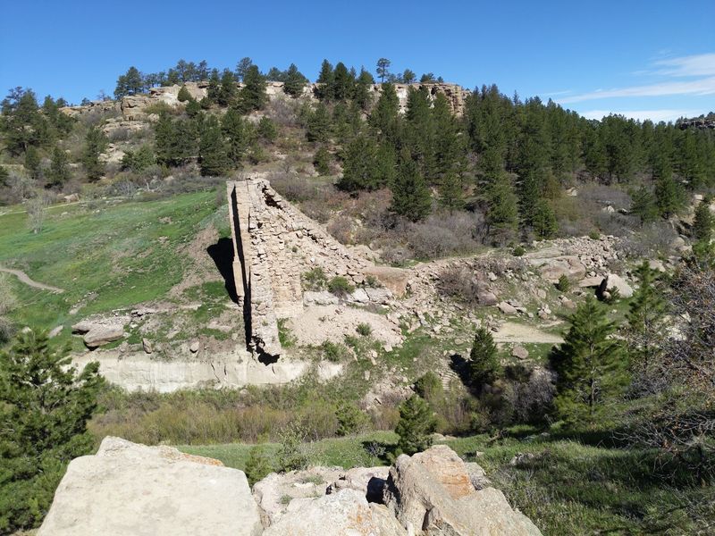
Castlewood Canyon State Park is built around one dramatic landmark, the ruins of Castlewood Dam. The dam was finished in the early 1890s to hold water for farms.
In August 1933, it failed after heavy rain, and the flood rolled down Cherry Creek toward Denver.
Today you can stand near the broken wall and picture the water. Plaques along the way explain what happened and why it mattered.
That makes the walk feel more like a story than a stroll.
Start with the facts, then go see the stone and concrete for yourself. The remaining pieces rise from the canyon in a way photos can’t fully capture.
Look for the gap where the wall gave way.
Give yourself time to linger at the viewpoints. Kids tend to love spotting the missing section.
Adults tend to go quiet for a moment. Both reactions seem fair.
Bring a camera and a little curiosity. This is the star of the park, and it earns that title.
Two Sides, Two Very Different Moods
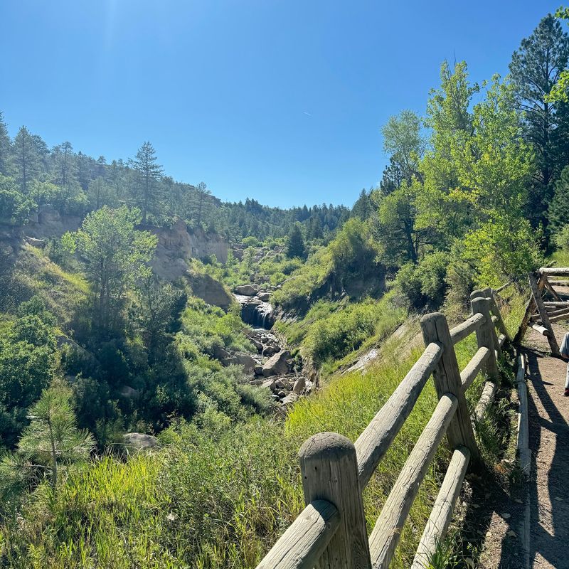
Castlewood Canyon State Park comes in two separate sections, and they don’t connect inside the park. You exit one side and drive around to reach the other.
Plan on about fifteen minutes between them.
The east side holds the visitor center and the Canyon View Nature Trail. That path is paved, so strollers and wheelchairs can roll along it.
Picnic tables and grills make it a friendly spot for a relaxed afternoon.
The west side feels wilder. Trails are dirt and rock, and parking lots can fill up fast.
Rangers often help visitors at those lots with directions.
Here’s a smart trick: choose based on your energy. Want calm views and information signs?
Go east. Want a bigger hike and the dam up close?
Head west.
If time allows, do both. Each side shows a different personality of the same canyon.
Skipping one means missing half the fun.
Start Your Visit With A Short Film
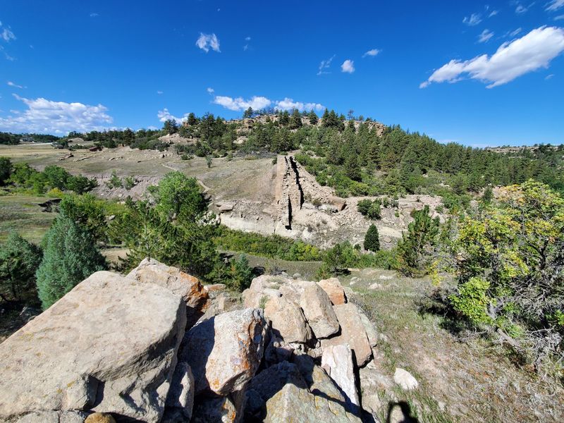
Before you hike, stop at the visitor center on the east side. A film there tells how the dam was built and how the flood destroyed it.
Watching it first makes the ruins far more meaningful.
Think of it as the trailer before the main feature. You’ll know what to look for when you reach the old wall.
Exhibits help fill in the details too.
The center is also a handy place to ask about trail conditions. Park staff can point you toward routes that fit your group.
That’s useful when kids or grandparents are along.
Restrooms are available near the main area during the busy season. Winter may mean simpler facilities, so pack with that in mind.
A quick stop saves guesswork later.
The visitor center sits along Highway 83. Give yourself a little extra time here.
It’s a small investment that pays off on the trail.
Roll Or Stroll Along The Canyon View Trail
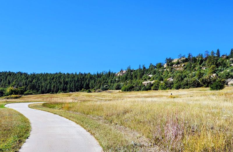
Not every great view requires a steep climb. The Canyon View Nature Trail on the east side is paved and gentle.
It follows Cherry Creek and passes several overlooks.
Signs along the way explain the geology and history. You’ll learn how the rock layers formed and why the canyon looks the way it does.
The formations are varied and impressive.
Shade is limited here, so morning is the best time in warm months. Water and a hat are smart choices.
Sun can feel strong in the open.
Multiple parking areas connect to the trail. That means you can walk a short piece or a longer one.
It’s flexible for families with different energy levels.
Dogs are welcome in the park, but owners should clean up after them. That keeps the path pleasant for everyone.
A calm walk here is easy to enjoy.
The Walk To The Dam Has Choices
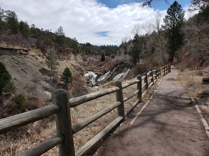
From the Falls parking lot, the dam ruins sit about a mile away on foot. You can follow the road and look down from above.
Or you can drop to the creek trail and approach from below.
The creek route is often shadier, which helps on warm days. It includes some steps and short climbs near the start.
Overall it’s an easy to moderate hike.
Along the way, you may spot a small waterfall. It’s a nice bonus before the main attraction.
Shallow spots in the creek draw families, depending on the water level.
Water levels change by season and weather. Some days the creek runs low, so don’t count on a splash.
Good shoes matter more than a swimsuit.
Pack water, because shade is thin near the parking areas. Take your time and watch your footing on rocks.
The payoff is worth every step.
Rimrock Trail And The Big-Loop Workout
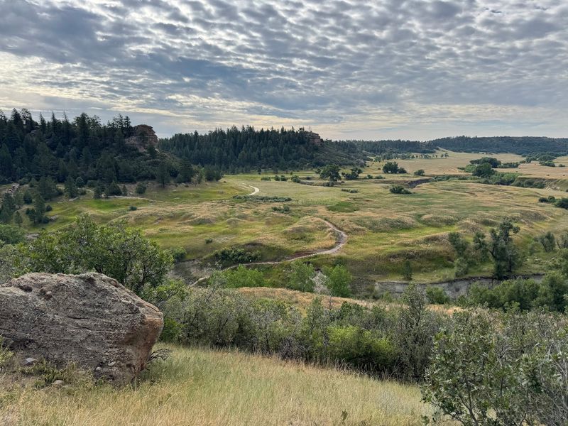
Ready for a bigger challenge? The park has a longer loop that includes the Rimrock Trail.
It climbs to the canyon top and drops to the valley below.
That mix of high and low views keeps the hike interesting. The terrain changes as you go.
Expect some steep sections and plenty of open sun.
Runners and hikers both use these routes. Some people link trails into a figure-eight for extra distance.
Elevation gain adds up, so pace yourself.
Start early on hot days. Open stretches can feel toasty by midday.
Bring more water than you think you’ll need.
Trail maps help, since junctions can be confusing. Snap a photo of the map at the trailhead.
It’s an easy way to stay on track.
Climbers Love The Conglomerate Rock
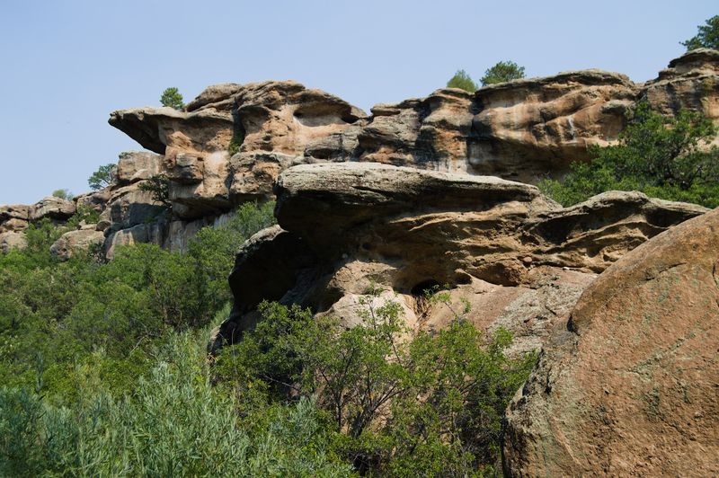
The canyon walls are made of conglomerate, a rock packed with pebbles and stones. It looks like nature made concrete.
Climbers have been drawn to it for years.
The park lists rock climbing among its main activities. Routes sit along the canyon walls.
Check current park rules and conditions before you go.
Not a climber? You can still scramble on boulders along the trails.
Kids tend to love that part. Just choose steady footing.
After a day outside, a creek can feel inviting when the water allows. Some visitors cool their feet there.
Always check conditions first.
Remember that rattlesnakes live in Colorado’s open country. Stay on the trail and watch where you step.
A little awareness keeps the day fun.
Birds, Deer, And Other Neighbors
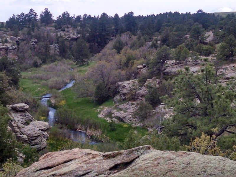
Wildlife gives the park a steady supply of surprises. Birds fill the sky and trees, and deer visit the creek area.
Spring greening adds color along the water.
Bring binoculars if you have them. Birders can find varied habitat here, from creek bottom to canyon rim.
Early morning tends to be the quietest time.
Look up now and then. Large birds sometimes circle over the canyon.
It’s a fun show if you like the sky.
Keep a respectful distance from animals. Give them space and never feed them.
That protects both you and them.
Stay alert on the trail, too. Rattlesnakes are part of the neighborhood, so watch your steps.
Calm eyes and careful feet go a long way.
Plan Your Trip Before You Roll In
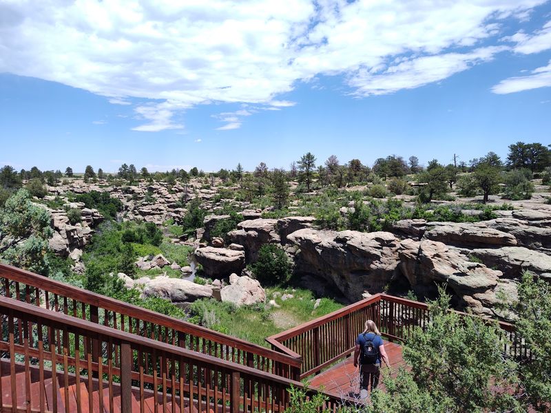
Castlewood Canyon State Park is located at 2989 CO-83, Franktown, CO 80116. It sits south of Aurora and east of Interstate 25.
You can reach it without a mountain drive.
The park is open daily from 6:30 AM to 8 PM. A state parks pass or daily fee applies, so check current details before you go.
Hours and conditions can change.
Map apps sometimes place the entrance poorly. Double-check the east and west entrances before you set out.
That saves a frustrating detour.
Pack sunscreen, water, and sturdy shoes. Shade is limited in many areas.
Picnic tables and grills make lunch easy.
Cell signal has been reported as decent here. Still, download a trail map in advance.
Colorado weather can shift fast.
Share this story