There is a rail-trail in southern Illinois that turns an ordinary afternoon into something worth talking about for weeks. The path cuts through dense forest, crosses old trestles, and passes through an actual 19th-century railroad tunnel carved straight through a hillside.
The scenery shifts from open farmland to thick woodland canopy within just a few miles, and the whole experience feels less like exercise and more like a slow-moving adventure. Whether you ride the full length or just a short stretch, Tunnel Hill State Trail rewards every visitor with history, nature, and a pace of life that is genuinely hard to find anywhere else in the state.
Where the Trail Begins: Location and Access Points
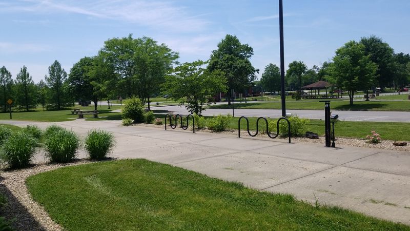
The Tunnel Hill State Trail runs through the Shawnee Hills of southern Illinois, stretching approximately 45 miles between Harrisburg in the north and Karnak in the south. The trail follows the old Elizabethtown and Paducah Railroad corridor, which gives it that beautifully straight and gently graded path that hikers and cyclists love.
The main northern trailhead is in Harrisburg, Illinois, and the address most visitors use to navigate there is 110 S Commercial St, Harrisburg, IL 62946. There are also access points in Carrier Mills, New Burnside, Vienna, and Cache, which makes it easy to join the trail at multiple spots depending on where you are staying.
Parking areas are available at several trailheads, and most of them are free. The trail is maintained by the Illinois Department of Natural Resources, so the access points are generally well-marked and easy to find.
Arriving early on weekends is a smart move, since the parking lots near popular sections can fill up faster than you might expect.
The Historic Railroad Tunnel That Steals the Show
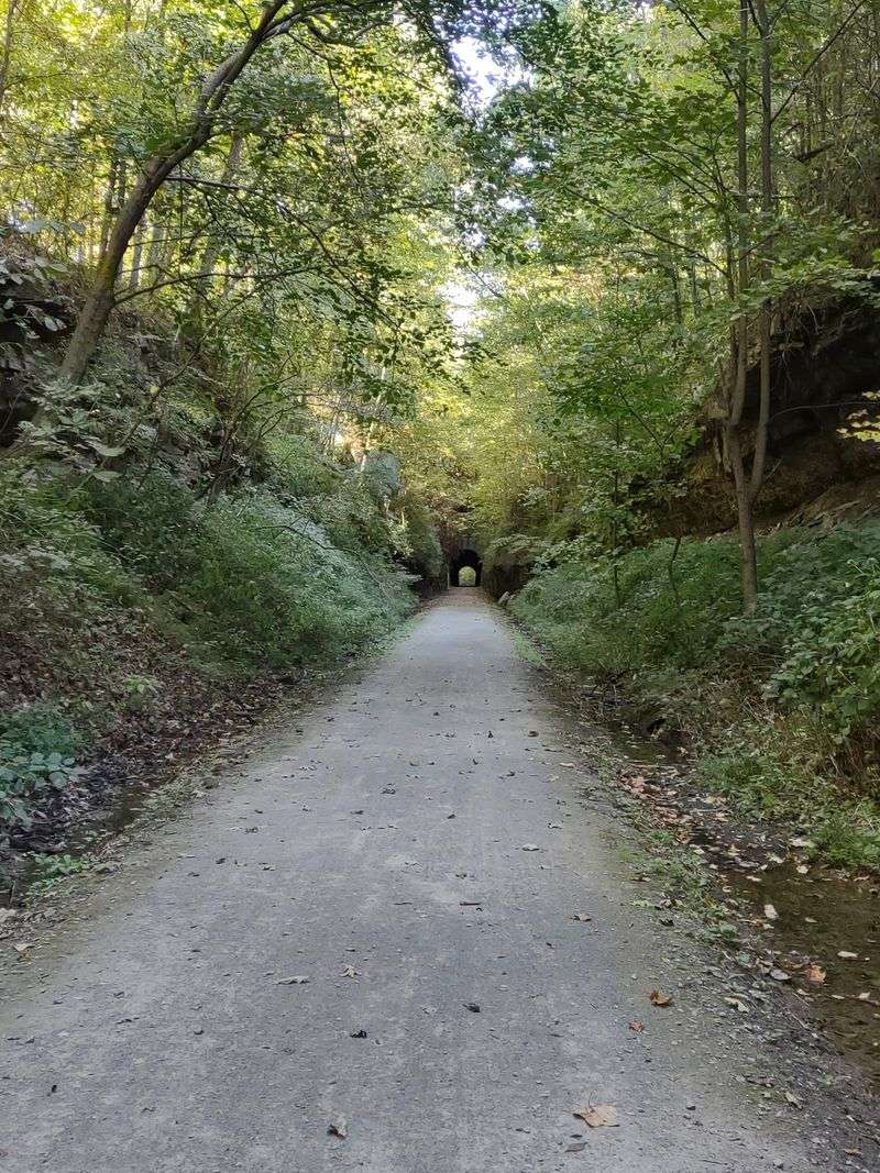
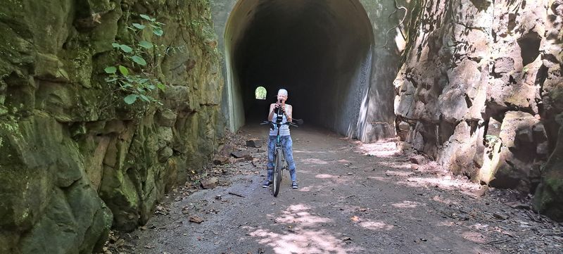
The undisputed highlight of the entire trail is the Tunnel Hill railroad tunnel near Tunnel Hill, Illinois, a small community that literally took its name from this structure. The tunnel was originally built in 1872 and stretches about 543 feet through solid rock, making it one of the most impressive remnants of Illinois railroad history that you can actually walk or ride through.
The moment you enter the tunnel, the temperature drops noticeably, and the light from both ends creates a striking visual that most visitors stop to photograph. The walls are rough-cut stone, and the ceiling drips in spots, giving the whole passage a raw, unpolished character that no amount of renovation could improve.
Exiting on the far side feels like stepping into a completely different landscape. The hillside opens up, the trees crowd in close, and the trail continues through a section of the Shawnee National Forest that is genuinely beautiful in every season.
The tunnel alone is worth the drive to southern Illinois, and most people who visit it say the same thing without prompting.
Trestles, Bridges, and Views That Catch You Off Guard
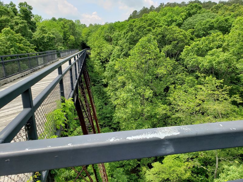
Beyond the famous tunnel, the trail crosses several wooden trestles and bridges that offer some of the best elevated views along the entire route. The Cache River trestle near Karnak is a standout, giving riders and walkers a clear look at the wetlands and cypress trees that make southern Illinois feel surprisingly wild.
These trestles are well-maintained and feel sturdy underfoot, though the open sides mean you will want to keep a close eye on younger children near the edges. The views from the top are worth a full stop, especially in fall when the tree colors reflect off the slow-moving water below.
What makes these bridges special is not just the scenery but the engineering history behind them. The original rail lines required careful construction through challenging terrain, and walking across these spans gives you a real sense of the effort that went into building a railroad through the Shawnee Hills in the 1800s.
A few of the trestles have informational signs nearby that add helpful context without turning the experience into a textbook lesson.
The Shawnee National Forest Connection
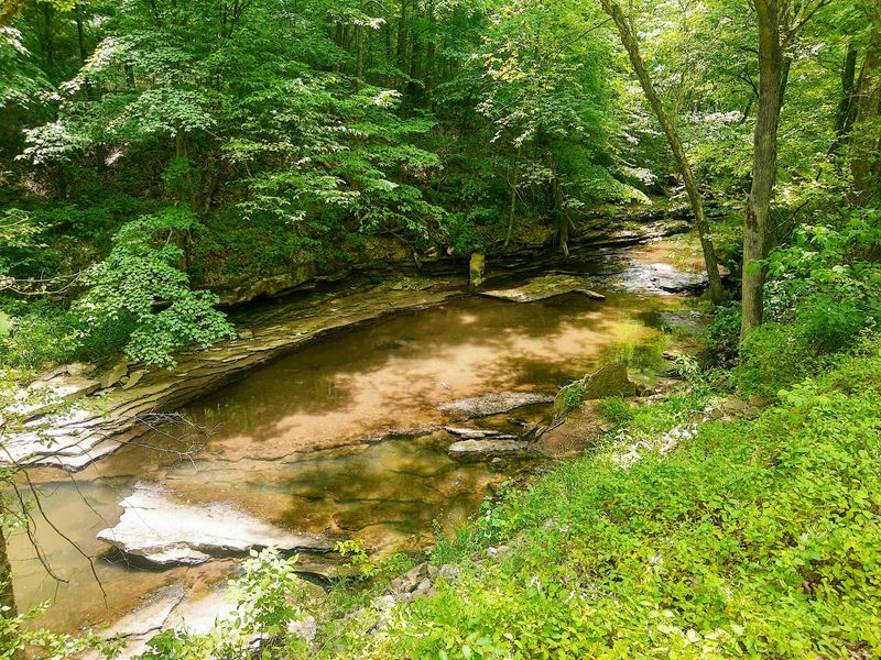
A significant portion of the trail passes through or alongside the Shawnee National Forest, which covers more than 280,000 acres of southern Illinois. This connection gives the Tunnel Hill trail a depth of natural scenery that most urban-area trails simply cannot match.
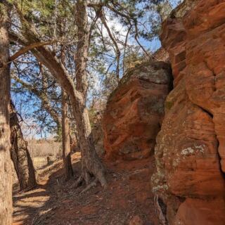
The forest sections are particularly striking in spring, when wildflowers bloom along the trail edges and the tree canopy is just starting to fill in. Fall brings an equally impressive show, with maples, oaks, and hickories turning the hillsides into a patchwork of orange and red that feels almost theatrical.
Wildlife sightings are common along these wooded stretches. White-tailed deer, wild turkeys, and various hawk species are regulars, and patient observers have spotted great horned owls in the early morning hours.
The trail surface through the forest sections is crushed limestone, which stays firm enough for hybrid bikes and handles foot traffic well even after rain. The forest also provides natural shade that keeps summer rides noticeably cooler than you might expect for central Illinois.
Trail Surface, Terrain, and What to Expect for Your Skill Level
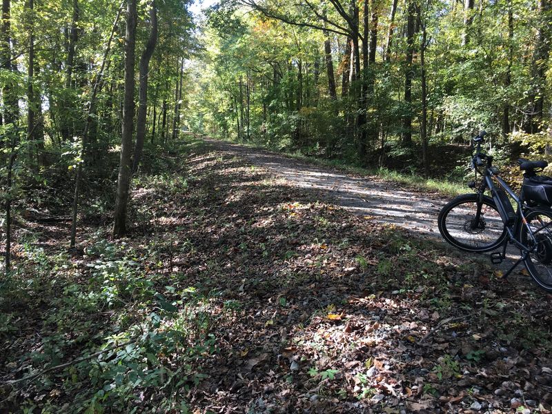
The trail surface is crushed limestone for most of its length, which is a practical choice that handles both bike tires and walking shoes well. The grade is gentle throughout since the route follows an old railroad corridor, and railroads were engineered to avoid steep inclines wherever possible.
That gentle grade is genuinely good news for casual riders and families with younger children. There are no challenging climbs, no technical sections, and no spots where beginners will feel out of their depth.
The whole trail is rated easy to moderate, and most people in average physical condition can handle a 10 to 15-mile stretch without any real difficulty.
The one section that breaks from the smooth crushed limestone is the tunnel itself, where the surface is packed gravel and can be slightly uneven. Lights are strongly recommended for the tunnel crossing since it gets quite dark in the middle section.
Bringing a small flashlight or using a bike light makes the passage much more comfortable and lets you actually appreciate the stone walls around you rather than just hurrying through the dark.
Best Times of Year to Visit and What Each Season Offers
Spring and fall are widely considered the best seasons to visit, and for good reason. Spring brings wildflowers, migrating birds, and mild temperatures that make long rides comfortable without the humidity that settles over southern Illinois in summer.
Fall is arguably even more dramatic, with the hardwood forests putting on a color display that peaks roughly between mid-October and early November. The light in October has a particular quality in the Shawnee Hills that photographers tend to chase, and the trail is busy with visitors who come specifically for the foliage.
Summer visits are absolutely doable, but the humidity can be significant, and the trail offers limited shade in its open sections. Early morning starts make summer trips much more pleasant.
Winter is the quietest season, and while the trail stays open, icy patches near the tunnel and on the trestles require caution. Each season brings something genuinely different to the experience, which is part of why locals return to the trail multiple times per year rather than treating it as a one-time outing.
Wildlife and Nature Watching Along the Route
The trail corridor functions as a natural wildlife highway, connecting forested areas and wetlands that support a surprisingly diverse range of animals. Birdwatchers in particular find the trail rewarding, since the mix of forest, open grassland, and wetland habitats near the southern end attracts a wide variety of species.
The Cache River Wetlands near Karnak, which the southern section of the trail passes through, is recognized as a Wetland of International Importance. This designation reflects the ecological value of the bald cypress and water tupelo swamps that make this corner of Illinois feel more like the deep south than the Midwest.
Reptile enthusiasts will appreciate the occasional box turtle crossing, and the wildflower diversity in spring is impressive enough to keep botanically curious visitors stopping frequently. The trail is quiet enough that wildlife encounters feel natural rather than staged, and moving slowly, either on foot or on a casual bike pace, significantly increases the chances of spotting something memorable.
A small pair of binoculars fits easily in a jersey pocket and pays off repeatedly along this route.
Towns Along the Trail and Local Character
The communities along the trail each have their own personality, and stopping in a few of them adds real texture to the day. Harrisburg is the largest town on the route and has the most services, including restaurants, convenience stores, and basic bike supplies within a short distance of the trailhead.
Carrier Mills and New Burnside are smaller but have a genuine small-town character that feels unchanged by time in the best possible way. Local diners in these communities serve straightforward, filling food at prices that feel almost nostalgic compared to what you would pay in a larger city.
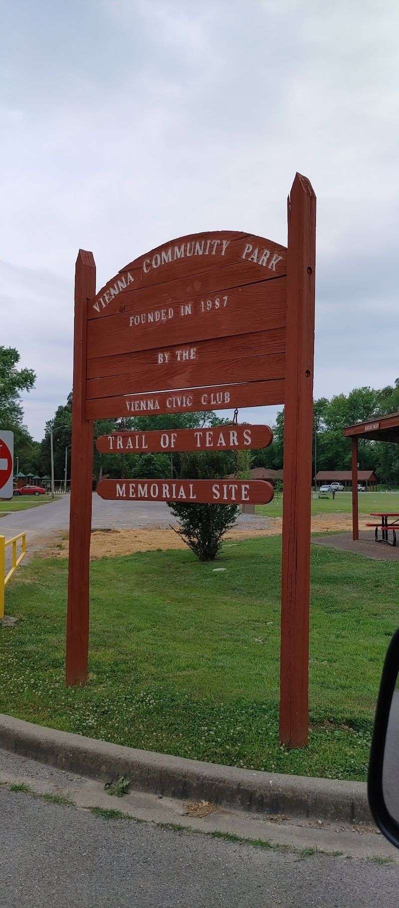
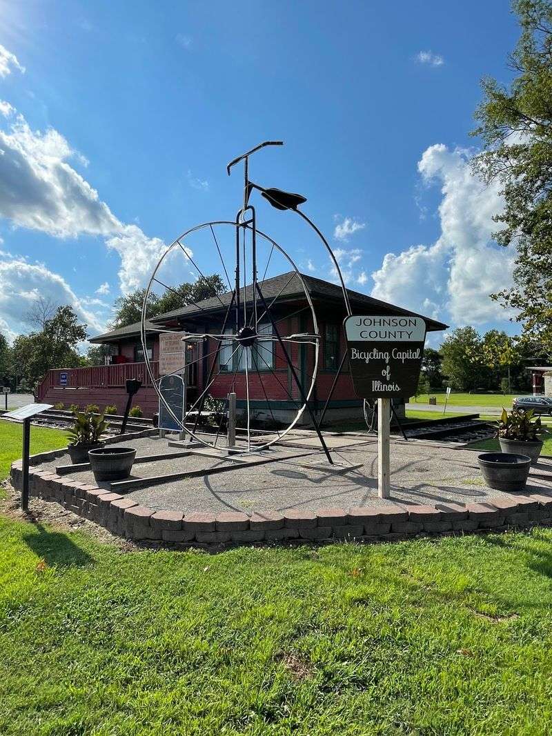
Vienna, further south, is the county seat of Johnson County and has a few more dining and shopping options. The town square in Vienna has a relaxed, unhurried energy that pairs well with a mid-ride break.
Talking to locals in these towns often leads to trail tips that you would never find in any guide, including the best picnic spots, the prettiest sunrise viewpoints, and the sections of trail that most visitors miss entirely because they stick to the obvious path.
Practical Tips for Planning Your Visit
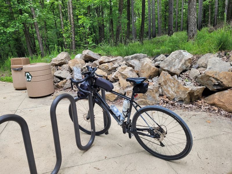
A few practical details can make the difference between a smooth outing and a frustrating one. Water is the most important thing to plan for, since water fountains along the trail are limited and the distances between towns can be longer than they look on a map.
Carrying at least two water bottles per person is a solid baseline, and a small snack pack keeps energy levels steady on longer stretches. Cell service is inconsistent in the more remote sections of the trail, so downloading an offline map before you leave is a genuinely useful habit rather than just a cautious one.
The Illinois Department of Natural Resources website has a downloadable trail map that includes mileage markers, access points, and nearby facilities. Bikes can be rented in Harrisburg through local outfitters, which is helpful if you are traveling without your own equipment.
Wearing layers in spring and fall is smart since temperatures can shift noticeably between open sections and the cool interior of the tunnel. Sunscreen is easy to forget on a cloudy day, but the open sections of the trail offer no shade at all.
Why This Trail Stays With You Long After You Leave
Most trails offer scenery. This one offers a complete experience that layers history, ecology, small-town culture, and genuine solitude into a single outing.
The combination is rare enough that visitors who come once tend to come back, often bringing friends or family members who need convincing that southern Illinois is worth the drive.
The tunnel itself is the kind of thing that sticks in your memory not because it is dramatic or loud but because it is genuinely surprising. Finding a 543-foot hand-cut railroad tunnel in rural Illinois, still intact and open to the public, feels like a discovery even when you knew it was coming.
The quietness of the trail is its own reward. There are no vendors, no amplified music, no crowds pressing in from every direction.
The sounds are wind, birds, and the soft crunch of limestone under tires or boots. Southern Illinois does not get the attention that the northern part of the state does, but trails like this one make a compelling case that the southern end has been holding out on everyone, and it is well past time to pay it a visit.
Share this story