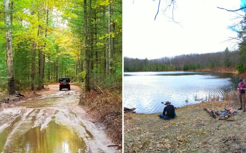
A single trailhead near Baldwin, Michigan, gives visitors access to miles of sandy off-road routes and a hiking trail leading to Lost Lake. The Lincoln Hills and Little Manistee trail systems offer separate routes for dirt bikes and larger off-road vehicles, making this a popular destination for different kinds of outdoor adventures.
The Little Manistee ORV route stretches approximately 43 miles, while the Lincoln Hills route covers another 22 miles. Riders can expect forest trails, rolling terrain, and plenty of sand, with routes designed for different vehicle types.
But you don’t need an engine to explore this area. The Pine Valley Pathway begins near the same parking area and includes a 4.1-mile round-trip hike to Lost Lake.
That combination makes this Lake County destination worth knowing about, especially for groups who want to spend the day outdoors without everyone doing the same activity.
Where the Sandy Adventure Starts
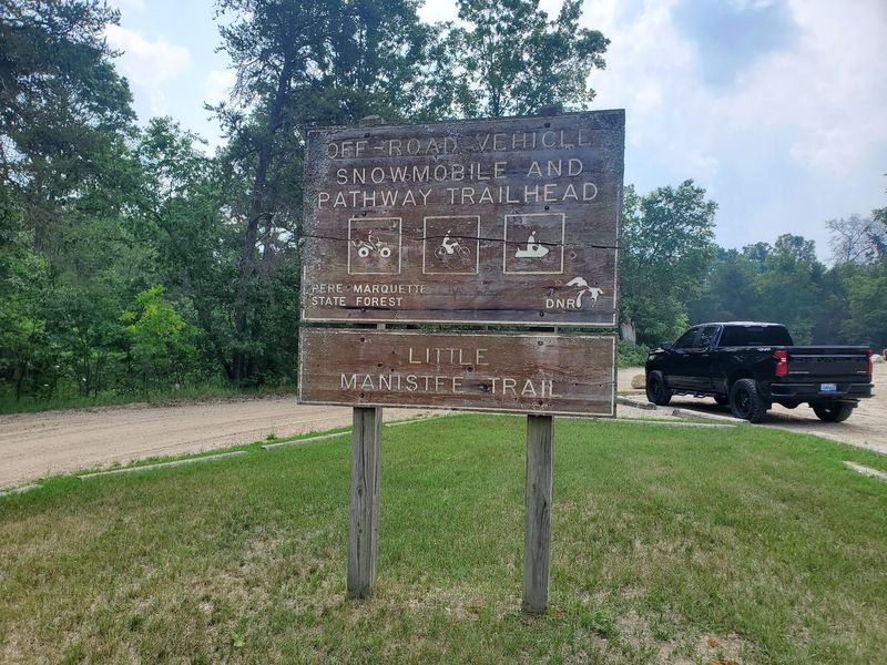
Off West 7 Mile Road near Baldwin, Michigan, the Lincoln Hills / Little Manistee ORV Trailhead provides access to some of Lake County’s best-known off-road riding areas. The parking area serves as a starting point for riders exploring the Lincoln Hills and Little Manistee trail systems.
The surrounding Manistee National Forest region is known for sandy ground, wooded trails, and rolling terrain. Riders can encounter everything from relatively open stretches to tighter turns through the trees.
The parking area provides a convenient place to prepare equipment, review maps, and organize a group before heading out. Riders bringing trailers should check current parking conditions and allow enough time to unload safely.
Before heading out, download the official Michigan DNR trail maps. The Lincoln Hills and Little Manistee systems have different routes and vehicle restrictions, so choosing the correct trail matters.
One detail makes this location especially useful for groups with different interests. The parking area also provides access to the Pine Valley Pathway, giving hikers another way to explore the surrounding forest.
That means a group can arrive together, head off on separate adventures, and arrange to meet back at the trailhead later in the day.
Two Trail Systems, Different Experiences
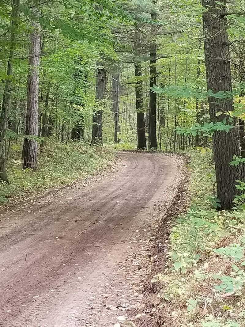
The Little Manistee and Lincoln Hills trail systems offer different distances and riding experiences, making this part of Michigan appealing to several kinds of off-road enthusiasts.
According to Michigan DNR maps, Little Manistee includes a 43-mile ORV route and a separate 40-mile motorcycle trail. Lincoln Hills has a 22-mile ORV route and an 18-mile motorcycle trail.
These distances refer to designated routes and trails, not interchangeable paths for every type of vehicle. Motorcycle-only trails are narrower, while the wider ORV routes accommodate eligible off-road vehicles.
That distinction matters when planning a ride. A dirt bike rider may have access to different designated trails than someone driving a side-by-side.
Following the correct route also helps prevent damage to trails that were not designed for wider machines.
Little Manistee offers the longer outing, while Lincoln Hills provides a shorter alternative. However, distance alone does not determine difficulty.
Sandy conditions, tight turns, and changing terrain can affect how demanding a ride becomes.
Trail conditions also change throughout the season. Sand, fallen branches, maintenance work, and weather can affect how challenging a particular section becomes.
Check the latest DNR maps and trail updates before deciding which route best matches your vehicle and experience. It is also worth identifying nearby road crossings and access points before leaving the parking area.
Narrow Paths for Dirt Bikes
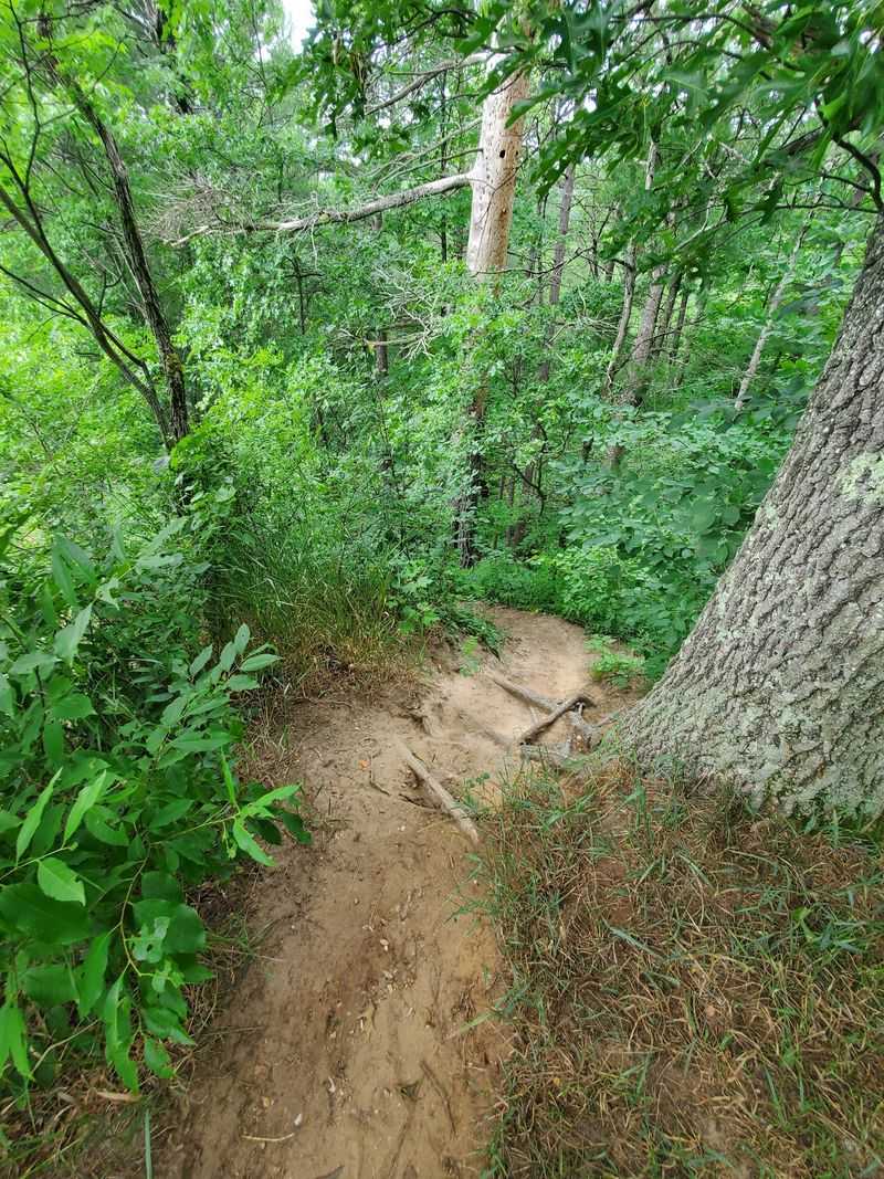
Motorcycle riders looking for a more technical experience can explore the designated single-track trails in the Little Manistee and Lincoln Hills systems.
These motorcycle trails are maintained at approximately 24 inches wide, making them considerably narrower than the ORV routes. Tight turns, sandy sections, and changing terrain demand more attention than a wide recreational trail.
The narrow width is part of the experience. Instead of following a broad corridor through the forest, riders navigate a more confined path where steering accuracy and concentration become especially important.
Sand can be challenging for less experienced riders. Maintaining control requires appropriate speed, balance, and familiarity with riding on loose surfaces.
Conditions may also change from one section to another, making it important to ride within personal limits.
Protective equipment is essential. A properly fitted helmet, sturdy boots, gloves, and suitable riding clothing help reduce the risks associated with off-road riding.
Fallen branches and other obstructions can occasionally affect the trails. Rather than cutting vegetation or modifying the route without authorization, riders should report significant problems to the appropriate trail managers.
Experienced riders may appreciate the added challenge of the single-track sections. Beginners should evaluate their skills carefully before attempting a longer route, especially when riding through deep or uneven sand.
Room Enough for Side-by-Sides
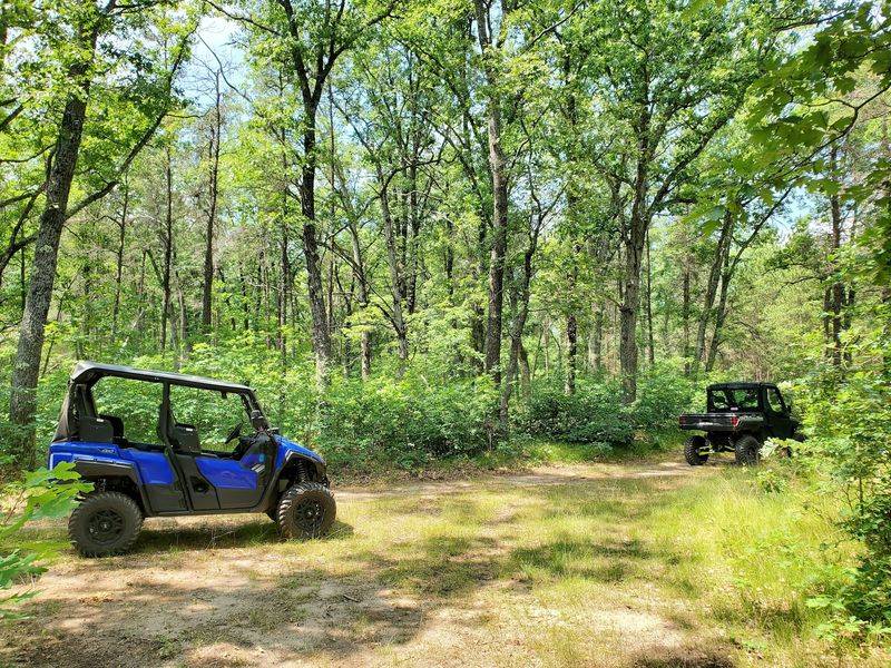
The designated ORV routes provide a different riding experience from the motorcycle-only trails, with wider corridors through the surrounding forest.
Michigan’s ORV routes are generally designed to accommodate eligible vehicles up to 72 inches wide. This makes them suitable for many side-by-sides, ATVs, and other properly equipped off-road vehicles that meet applicable regulations.
However, the 72-inch designation does not apply to every trail in the forest. Riders must follow the signs and restrictions for their particular route.
Ordinary passenger vehicles should not be assumed eligible simply because a route is relatively wide.
The sandy terrain can produce bumps, ruts, and uneven sections, especially after periods of heavy use. Grooming and maintenance may improve conditions, but riders should never assume the surface will remain smooth.
Two-way traffic is another important consideration. Approaching curves and hills at controlled speeds gives riders more time to react to oncoming vehicles.
Families traveling together should choose a route appropriate for their equipment and the least experienced operator in the group. Younger passengers may enjoy the outing, but their safety depends on suitable seating, restraints, protective equipment, and compliance with state rules.
The wider routes make it possible to cover considerable distances through the forest without using the narrow motorcycle-only trails. Still, riders should plan their fuel needs and allow time for breaks before beginning a longer outing.
Paperwork Before the Throttle
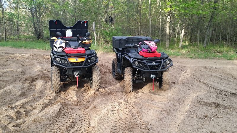
Michigan requires riders to follow specific ORV licensing, permitting, and safety regulations, so a little preparation before leaving home can prevent problems at the trailhead.
For most recreational ORVs using designated public trails and routes, both a Michigan ORV license and an ORV trail permit are required. However, exemptions and vehicle-specific rules exist, so checking the Michigan DNR requirements before traveling is important.
Michigan’s annual ORV licenses and trail permits generally follow an April 1 through March 31 validity period. They can be purchased through authorized retailers and the state’s licensing system.
Young riders are subject to additional age, supervision, and safety education requirements. Parents should confirm which vehicles their children may legally operate and where.
Some younger operators must also carry proof of completing an approved ORV safety education course.
Helmet and eye protection requirements apply, with certain exceptions depending on vehicle equipment and other legal conditions. Riders should confirm the rules that apply to their particular machines rather than relying on general advice.
Keep the required licenses and permits properly displayed or carried as directed by state rules. It is also important to stay on routes where your vehicle is legally permitted.
A quick review of the Michigan DNR ORV regulations can prevent problems before the ride begins. The same website provides information about seasonal closures, trail updates, and safety requirements.
Why a Map Belongs in Your Pocket
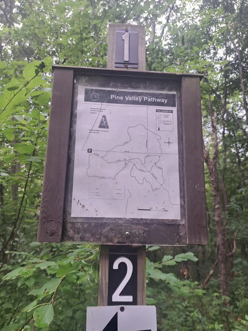
With several designated routes crossing the forest, a reliable map is one of the most important things to bring.
The Michigan DNR provides downloadable maps showing the Little Manistee and Lincoln Hills motorcycle trails, ORV routes, parking areas, and connecting roads. These maps also identify which routes are intended for different vehicle types.
Cell service can be unreliable in wooded areas, so downloading maps before leaving home is a sensible precaution. Carrying a printed copy provides a backup if your phone loses power.
Trail signs and route markers help riders navigate, but they should be used alongside official maps. Stay on designated routes rather than following unmarked tracks into the forest.
Distance is another consideration. Completing a 43-mile route can take several hours, depending on trail conditions, riding speed, and breaks.
A shorter route may still take longer than expected when sand or rough sections slow progress.
Before setting out, identify your intended route, estimate fuel needs, and tell someone when you expect to return. Riders traveling in groups should also agree on meeting points in case someone becomes separated.
A map is useful for more than avoiding wrong turns. It can help identify road crossings, parking areas, and possible access points if mechanical problems or changing weather interrupt the ride.
Taking a few minutes to understand the trail system before starting makes the rest of the outing considerably easier.
A Quiet Pathway Beside the Engines
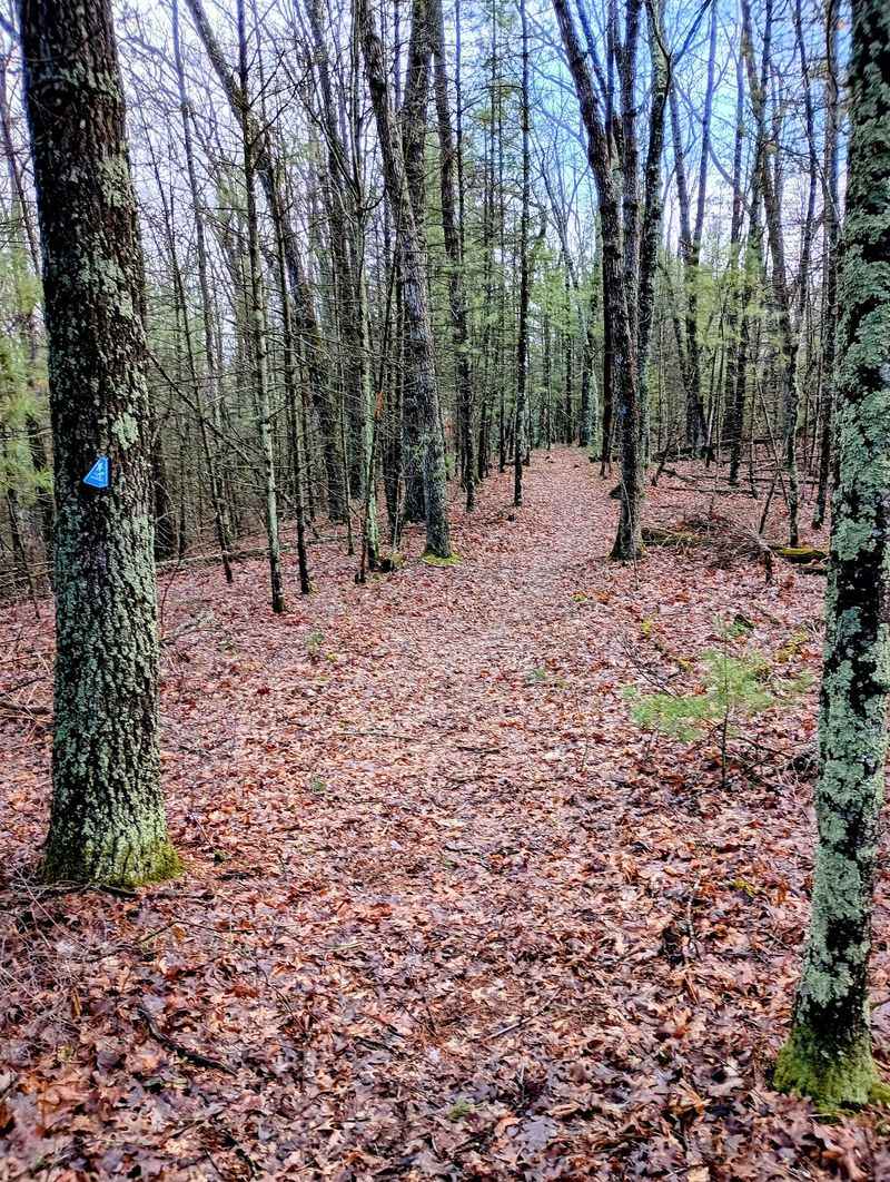
Not everyone visiting this trailhead needs a dirt bike or side-by-side. The Pine Valley Pathway begins on the south side of the shared parking area and provides another way to explore the forest.
According to the Michigan DNR, the pathway covers approximately 8.3 miles through three interconnected loops. Different sections accommodate activities including hiking, mountain biking, horseback riding, and seasonal recreation.
The middle loop is particularly appealing to hikers. It follows a designated nonmotorized pathway toward Lost Lake, away from the main ORV riding routes.
Trail intersections have maps, making it easier to choose a route and keep track of your location.
The pathway is not entirely reserved for hikers, so visitors should pay attention to signs indicating permitted activities on each section.
Bring comfortable walking shoes, drinking water, and insect repellent during warmer months. Sandy ground can make some sections more tiring than their distance suggests.
For groups with different interests, the shared parking area makes it possible to plan separate riding and hiking outings.
Lost Lake Is Easier to Find Than It Sounds
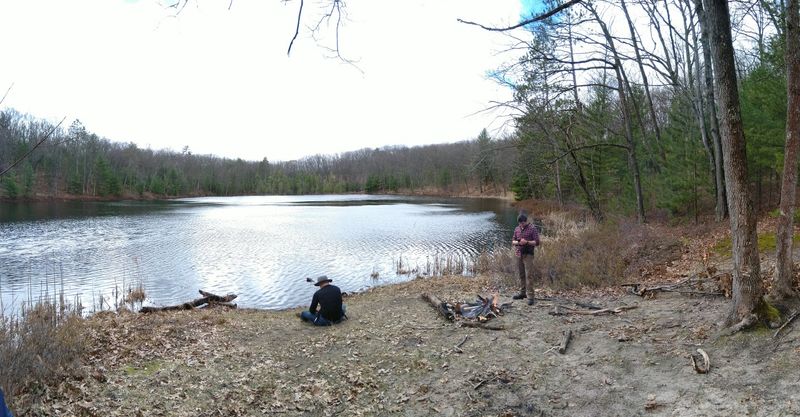
Lost Lake is one of the main attractions along the Pine Valley Pathway, and reaching it does not require an off-road vehicle.
The Michigan DNR identifies the middle loop as a 4.1-mile round-trip hike to Lost Lake and back. This makes it a manageable outing for many recreational hikers, although the distance and sandy terrain deserve consideration.
The route passes through wooded sections before reaching the small lake. Trail markers and intersection maps help visitors follow the designated pathway.
Lost Lake provides a natural stopping point before heading back toward the parking area. Bring water and a snack if you plan to spend extra time there.
Backpacking and dispersed camping are allowed along the Pine Valley Pathway, subject to applicable Michigan DNR regulations. Visitors should check current camping restrictions and land ownership boundaries before selecting a campsite.
Anyone camping should follow Leave No Trace principles, including packing out trash and minimizing impacts on vegetation.
For visitors who prefer walking to riding, the Lost Lake hike offers a worthwhile alternative within the same recreation area.
Eagles, Porcupines, and Syers Lake
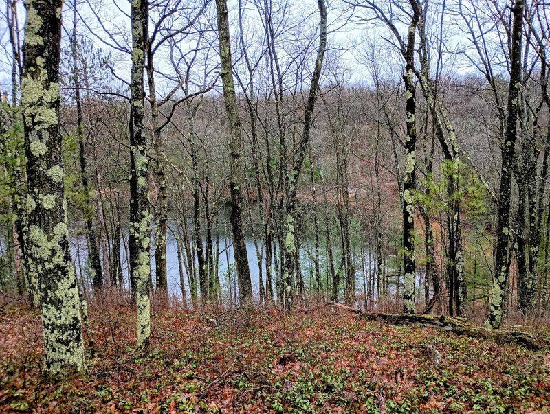
Did you know a hiker once spotted an eagle nest out here? It happened near Syers Lake, the second small lake in the area.
Reaching Syers takes a short side trip. Visitors say you follow a two-track road about a quarter mile off the main trail.
That same hiker also saw a porcupine. Sightings are never guaranteed, but the woods clearly support plenty of wildlife.
Bring binoculars if you have them. Eagles often perch high, and a closer view makes the moment even better.
Give animals space. Porcupines move slowly, but their quills are no joke, especially for curious dogs.
One visitor even mentioned carrying bear deterrent. Black bears live in Michigan forests, so knowing basic bear safety is wise.
Make noise while hiking and store food properly. These simple habits help keep wildlife wild.
I find it neat that engines roar nearby while eagles nest quietly. The forest makes room for both.
Weather plays a big role in what you see, and what you ride through.
Dust, Mud, and Smart Timing
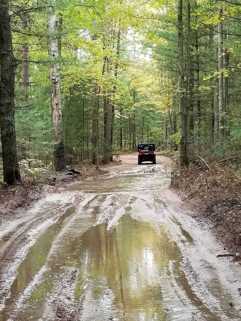
Sand trails behave differently with every forecast. Dry spells turn them dusty, while rain leaves mud puddles behind.
Riders have described very dusty days here. A bandana or riding mask helps, along with goggles to protect your eyes.
After rain, puddles appear along the route. One visitor enjoyed the mud and a few fallen branches without much trouble.
Spring can bring heavy pollen. Allergy sufferers may want medicine handy before heading out.
Grooming makes a big difference. Visitors say the trail rides smooth after grooming and much rougher when it builds up bumps.
The trailhead offers a pit toilet, according to visitors. Pack hand sanitizer and wipes, since running water is not something to count on.
Weekends may bring more traffic on the trails. Weekday rides can feel calmer for nervous beginners.
A spare tube, tools, and extra fuel make sense too. Help can be far away in the forest.
Plan well, and this Baldwin trailhead rewards riders and hikers with a full day in the Michigan woods.
Share this story