There is a paved trail in northwestern Oregon that follows the ghost of an old railroad line through dense forest, across wooden trestles, and into a quiet small town that most people have never heard of. The Banks-Vernonia State Trail stretches 21 miles one way, connecting the town of Banks to the town of Vernonia through some of the most peaceful forest scenery in the Pacific Northwest.
I rode the full trail on a crisp Saturday morning, and by the time I reached Vernonia Lake, I was already planning my next trip back. Whether you are on a road bike, an e-bike, or your own two feet, this trail delivers a genuinely memorable outdoor experience that punches well above its weight.
Where the Journey Begins: Banks Trailhead
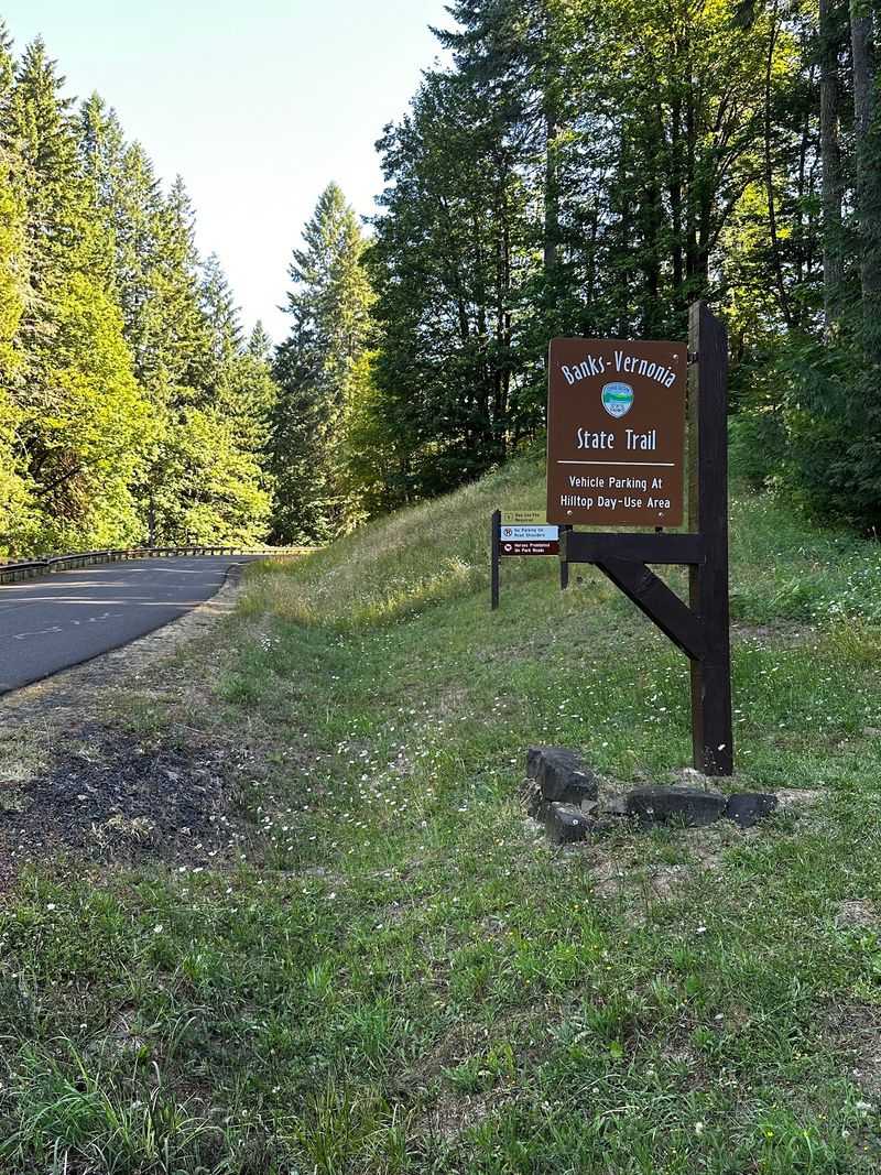
The southern starting point of the Banks-Vernonia State Trail sits at Banks-Vernonia State Trail, Banks, OR 97106, right at the edge of the small town of Banks in Washington County, Oregon. The trailhead is easy to find, but the parking lot fills up fast on weekend mornings, sometimes by 8:30 a.m. on a busy Saturday.
A nearby gravel pullout across the street from Five Star Builders offers overflow parking on weekends, which is a handy backup when the main lot is packed. The trailhead itself has a clean restroom facility, a trail map board, and a bike shop nearby that sells snacks and drinks and even rents bikes if you did not bring your own.
From this starting point, the trail heads north through a mostly flat and well-paved first stretch that runs close to the highway for a bit before gradually pulling away into quieter surroundings. The first few miles have some bumpiness from tree roots lifting the asphalt, but painted warning spots on the pavement help you slow down before hitting rough patches.
Starting here gives you the full 21-mile experience in one direction.
The Old Railroad History Behind the Trail
Long before cyclists and joggers claimed this corridor, trains rumbled through it. The Banks-Vernonia State Trail follows the former route of the Spokane, Portland and Seattle Railway, which once carried timber and passengers through the Coast Range foothills of northwestern Oregon.
Rail service on this line ended in the 1970s, and Oregon Parks and Recreation Department eventually converted the old railroad bed into one of the first rail-to-trail conversions in the entire Pacific Northwest. That history is part of what makes the trail feel so special.
The gentle grades, the long straight sightlines, and the wide pathway all reflect the engineering logic of a working railroad.
The trail officially opened in 1990 and has been expanded and improved over the decades since. Because railroad engineers never liked steep slopes, the trail stays at a manageable grade for most of its length, which is great news for casual riders.
There is one notable exception near the middle of the route where switchbacks and a grade around 13 percent demand real effort. Signs there remind cyclists to walk their bikes through that section, and for good reason.
Forest Scenery That Earns Every Pedal Stroke
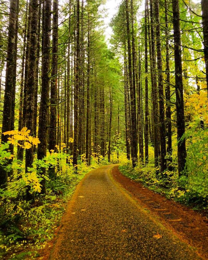
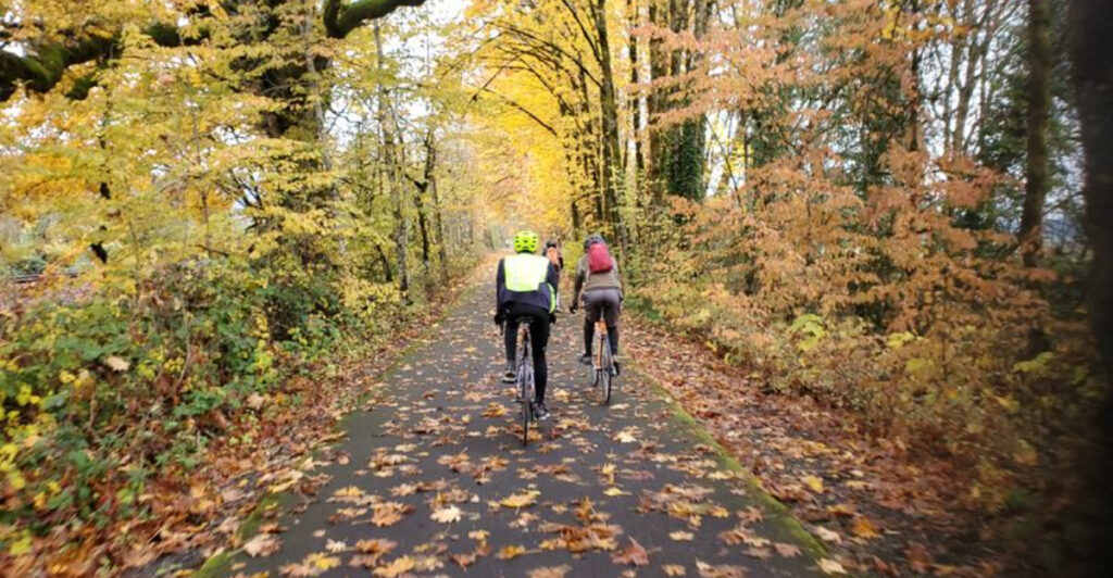
About half of the trail runs in the shade, which is one of the best things about riding it on a hot summer day. The Douglas fir trees grow tall and close on both sides of the path, creating a natural tunnel of green that keeps temperatures noticeably cooler than open roads nearby.
The foliage changes throughout the seasons, so the trail looks completely different depending on when you visit. Fall brings warm amber and rust tones to the undergrowth, while spring fills the edges of the path with ferns and wildflowers.
There is even a small waterfall tucked along the route that catches most riders off guard in the best possible way.
The heavily forested sections are also where tree roots have done the most damage to the asphalt over the years. The roots push up from below and crack the pavement in unpredictable places, so keeping your eyes on the trail rather than the treetops is genuinely good advice.
Painted markers on the pavement flag the worst spots, giving you just enough warning to ease off the speed before things get bumpy. The forest more than makes up for the rough patches.
The Manning Trailhead: Cows, Cricket, and Fruit Trees
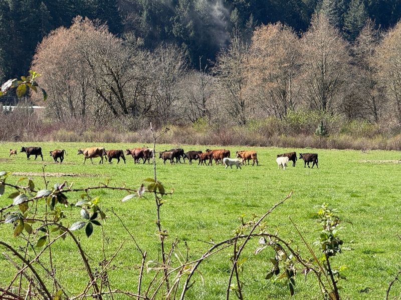
About five miles north of Banks, the Manning Trailhead marks the spot where the trail finally breaks away from highway noise and enters a completely different kind of landscape. The path runs alongside a working cow farm here, and if you time your visit right, you might spot newborn calves in the field just beyond the fence.
Fruit trees line the trail through this section, which is a pleasant surprise after miles of dense forest. The open field portion offers a long, unobstructed sightline that feels almost cinematic compared to the enclosed forest stretches.
On warm weekends, cricket matches are sometimes played in the fields nearby, adding a genuinely unexpected cultural layer to the ride.
The Manning section is also rougher underfoot than the Banks starting stretch. Increased traffic from wagons and horses has left the surface more uneven in places, which can be tough for strollers with hard wheels or road bikes with narrow tires.
Despite that, the trailhead here offers additional parking, a restroom, and a great mid-point rest option for riders who want to break the full 21-mile route into smaller, more manageable segments over a weekend camping trip.
Buxton Trestle: The Trail’s Most Dramatic Crossing
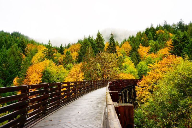
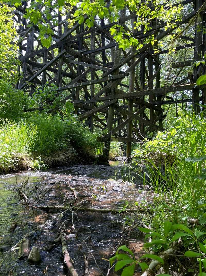
Few moments on the trail match the feeling of rolling onto the Buxton Trestle for the first time. This is a massive elevated wooden bridge that carries the trail high above a river, and the views from the top are genuinely worth the climb to get there.
The trestle is one of several bridges and trestles along the route, but it is by far the most dramatic. Standing on it, you can look down at the water below and out into the forest canopy stretching in every direction.
It is the kind of spot where most riders stop, take a photo, and spend a few quiet minutes just taking it all in.
The Buxton Trailhead sits nearby and is a popular access point for riders who want to start their ride closer to the forested middle section of the trail rather than at the flat Banks end. From Buxton, the trail climbs uphill toward Vernonia, so expect more effort in that direction.
Fast downhill cyclists are common on this stretch heading back toward Banks, so trail users with children should stay alert and keep to the right. The trestle itself is the undeniable highlight of this entire section of the trail.
Climbing Toward Vernonia: The Real Test
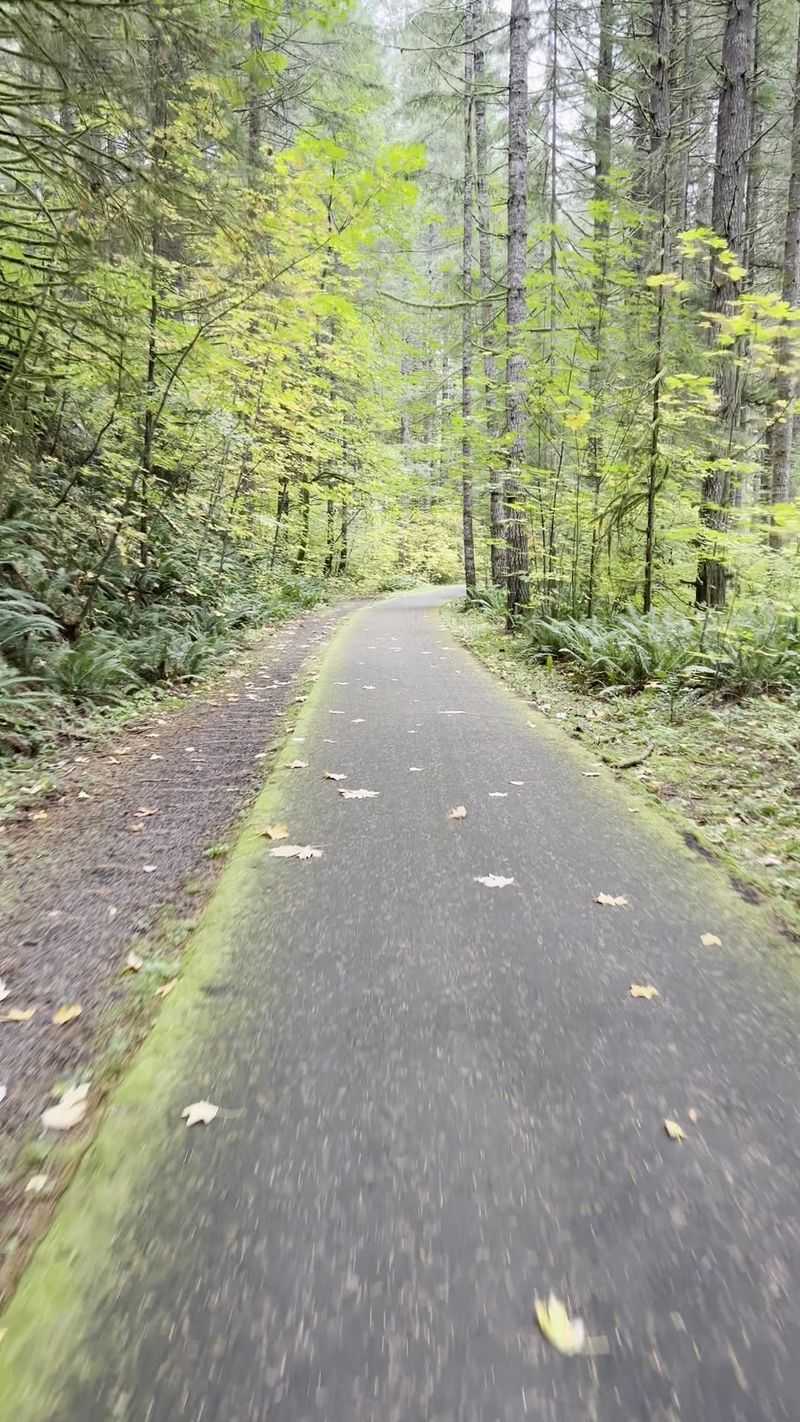
The middle portion of the Banks-Vernonia State Trail is where the railroad history both helps and challenges you at the same time. Most of the route sits at a gentle 3 percent grade, which is barely noticeable on a bike but adds up quietly over many miles.
Then the switchbacks arrive.
Near the center of the trail, a steep section reaches a grade of around 13 percent with tight hairpin turns. Signs posted at the top ask cyclists to walk their bikes down through this section, and the skid marks visible on the pavement suggest that not everyone has followed that advice.
Going too fast through those corners on a wet day would be a very bad decision.
Riders heading from Banks to Vernonia tackle this climb on the way out, which means the reward of a faster, easier return trip is waiting for them on the way back. E-bike riders find this section much more manageable, and several reviewers have noted that the climb feels far less punishing when you have a motor to lean on.
For traditional cyclists in reasonable shape, the climb is challenging but absolutely doable, and the forest scenery keeps your mind off the burning legs.
Vernonia: The Small Town at the End of the Line
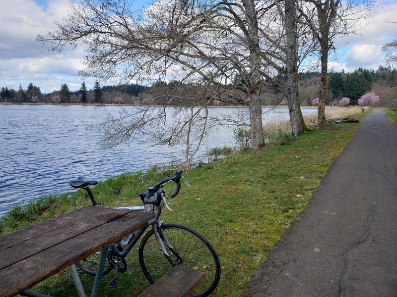
Vernonia is the kind of town that feels like it has been waiting patiently for you to arrive. With a population of just over 2,000 people, it sits in a valley surrounded by the Coast Range foothills about 40 miles west of Portland.
After 21 miles on a bike, it feels like the most welcoming place on earth.
The town has a relaxed, unpretentious character that fits perfectly with the low-key spirit of the trail. There are local spots to grab food and rest your legs before the return journey, and the overall pace of life there is refreshingly slow.
The El Amigo food truck near Vernonia Lake has earned a loyal following among trail riders looking for a satisfying meal at the end of a long ride.
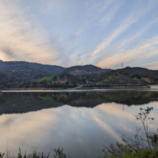
Vernonia Lake itself is the geographic and emotional endpoint of the trail, and it is a genuinely beautiful spot. The lake sits right at the northern terminus, with a loop path around the water that lets you stretch your legs after the long ride in.
On a calm day, the reflection of the surrounding trees on the lake surface is the kind of sight that makes you grateful you made the effort to get there.
Vernonia Lake: The Perfect Trail Finale
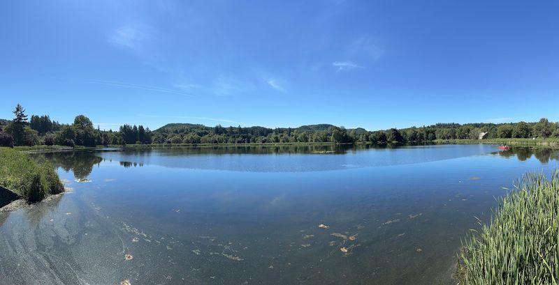
After 21 miles of pedaling through forest, across trestles, and up switchbacks, Vernonia Lake is the payoff that makes every tough stretch feel worth it. The lake is calm and quiet, ringed by trees, and has a loop trail around its edge that gives tired legs a gentle cooldown route before the return journey.
The setting is genuinely peaceful. There are no crowds competing for the best view, no loud music, and no commercial noise.
Just water, trees, and the sound of other trail users catching their breath and comparing notes on the ride. It has a campground nearby at L.L.
Stub Stewart State Park, which makes it a natural base for riders who want to explore the trail in segments over multiple days.
Riding one direction each day from the campground is a popular strategy among regular visitors. One day you head south toward Banks, which is mostly a gradual downhill run back to camp.
The next day you push north toward Vernonia, which involves more climbing but ends at the lake. The lake itself sits at a rating of 4.7 stars overall across hundreds of reviews, and the finish line feeling it provides is a big reason why.
Trail Conditions and What to Watch Out For
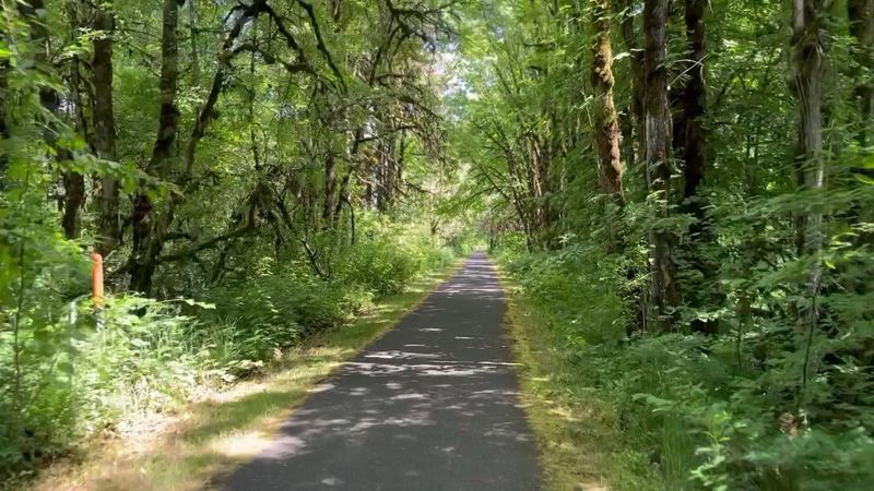
The Banks-Vernonia State Trail is paved for its entire 21-mile length, which is one of its biggest selling points. That said, the pavement quality varies quite a bit depending on which section you are riding.
The first three miles out of Banks are noticeably bumpier than the rest, and tree roots are the main culprit throughout the forested sections.
Oregon Parks and Recreation has painted warning markers directly on the asphalt wherever the surface is lifted, cracked, or sunken. These painted spots are genuinely helpful, but they require you to keep your eyes on the trail rather than drifting into scenic daydreaming mode.
Hitting a raised root at speed can be jarring enough to cause a fall, so slowing down at marked areas is not optional advice.
Wooden bridges along the route become slippery when wet, which is a real concern in the Pacific Northwest where rain is a regular guest. Riding cautiously over any wooden surface after rainfall is the smart move.
Dogs are welcome on the trail but must be kept on a leash at all times. Fast cyclists sharing the path with walkers and families can be a friction point, so trail awareness from everyone makes the experience better for all users.
Amenities Along the Way: Rest Stops and Bike Support
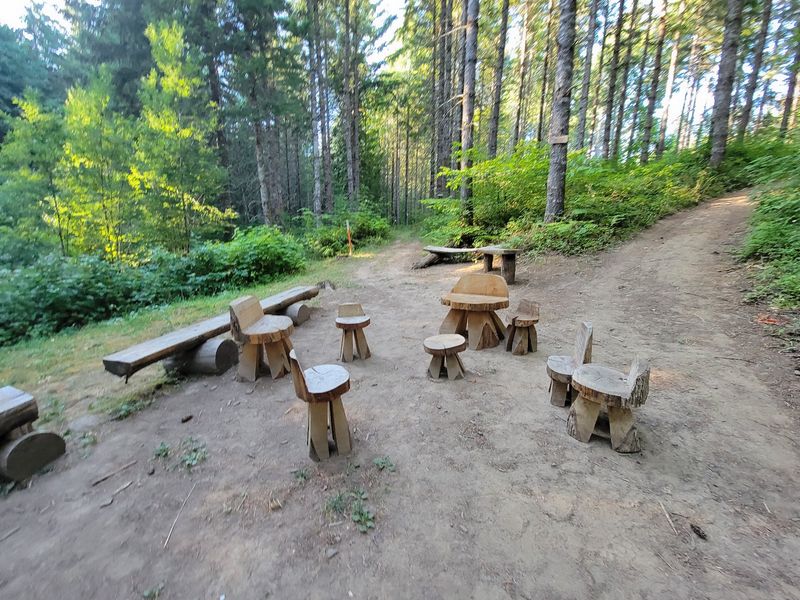
One of the things that makes the Banks-Vernonia State Trail genuinely user-friendly is the thoughtful infrastructure spread along the route. Rest benches and pull-off spots appear roughly every mile, giving riders and walkers a chance to sit, hydrate, and enjoy the surroundings without having to push all the way to the next trailhead.
There are also a couple of full bike maintenance stations along the trail, which is a detail that most people do not notice until they actually need one. These stations have tools mounted on posts that let you fix a flat or tighten a loose component without carrying a full repair kit.
For anyone heading out on a long solo ride, knowing those stations exist is quietly reassuring.
At the Banks end of the trail, a bike shop offers rentals, snacks, and drinks, making it easy to start a ride even if you showed up without gear. Vault toilets and restroom facilities are available at several trailheads between Banks and Vernonia, and park staff keep the facilities noticeably clean.
The overall level of maintenance on this trail reflects how seriously Oregon Parks takes the experience of the people who use it regularly.
Who the Trail Works Best For
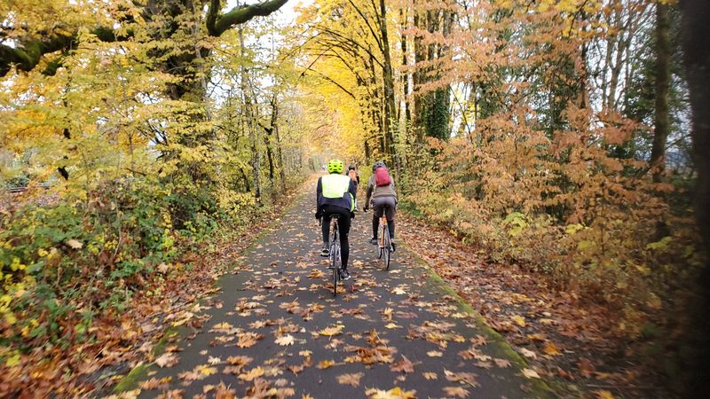
The Banks-Vernonia State Trail has an impressively broad appeal, which is part of why it earns such consistently high ratings. Road cyclists can knock out a 44-mile out-and-back with over 1,000 feet of elevation gain and feel genuinely challenged.
Casual riders can pick a short segment between any two trailheads and have a relaxed, scenic morning without breaking a sweat.
Joggers and trail runners use the path regularly, and the uninterrupted surface with no car traffic makes it a rare treat for long training runs. Families with young children tend to enjoy the flat Banks section most, though the highway noise near the start is worth knowing about in advance.
E-bike riders have discovered that the trail is particularly satisfying on an electric assist, especially on the uphill sections toward Vernonia.
The trail is also welcoming to first-timers returning to cycling after a long break. The wide, clearly marked path and multiple parking options at different trailheads mean you can start small and build up to the full route over several visits.
Dogs on leashes are welcome, and the mostly shaded route makes warm-weather visits comfortable for both humans and their four-legged trail companions.
Planning Your Visit: Practical Tips Before You Go
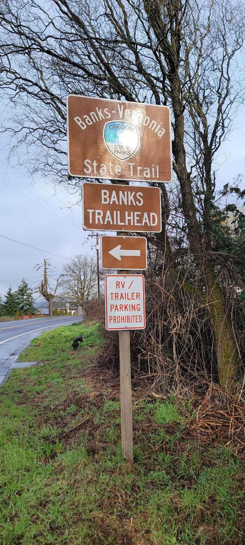
A few practical details can make the difference between a smooth day on the trail and a frustrating one. The Banks Trailhead parking lot has roughly 20 spots and fills up fast on weekends, often before 9 a.m.
Getting there early or using the overflow gravel area across the street are both smart strategies. Alternatively, starting from Manning or Buxton spreads out the parking pressure and gives you a different perspective on the trail.
There is no fee to park at the lower trailheads, but parking at L.L. Stub Stewart State Park near the top requires a day-use fee.
Bringing plenty of water is essential since there are no water stations along the 21-mile route, which is a gap that trail users have noted for years. Packing snacks is equally important on longer rides.
The trail is open year-round, but rainy season visits require extra caution on wooden bridges and wet asphalt. Weekday visits tend to be quieter than weekend rides, with fewer fast cyclists sharing the path.
The trail runs through a cell service dead zone in some forest sections, so downloading an offline map before heading out is a practical precaution. The Banks-Vernonia State Trail website through Oregon State Parks has current conditions and updates worth checking before any visit.
Share this story