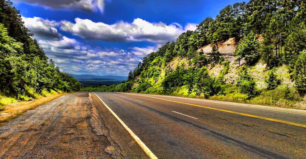
Arkansas has a way of surprising people who think they already know what the state looks like. Beyond the cities and interstates, there are mountain ridges with views that stretch into neighboring states, rivers that curve through ancient forests, and small towns that still feel untouched by the modern world. The drives on this list cover all of it, from the pine-covered hills of the south to the dramatic Ozark peaks in the north. Some routes are famous among road-trippers, while others are quiet enough that you might have the road entirely to yourself.
Each one offers something worth seeing, whether you have a full weekend to explore or just a free afternoon to get behind the wheel. Pack a snack, charge your phone for photos, and get ready, because Arkansas is about to make a very strong case for being one of the best road-trip states in the country.
1. Arkansas Scenic 7 Byway, Hot Springs to Harrison, Arkansas
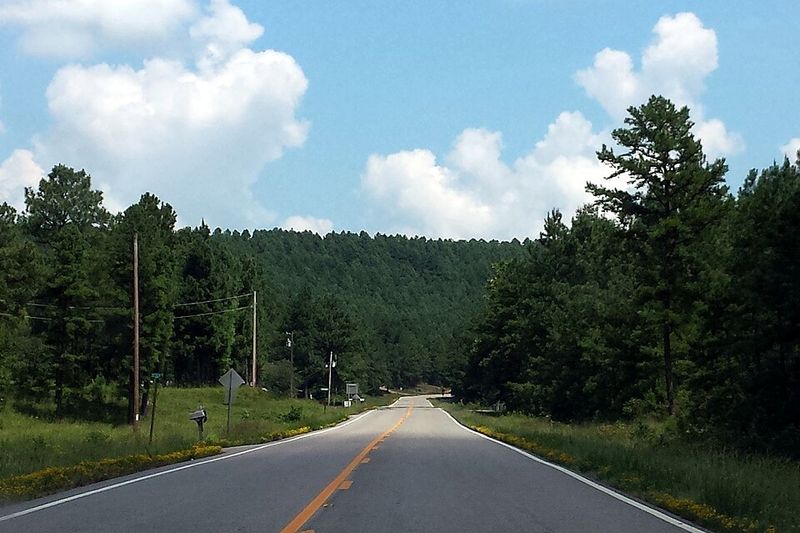
At roughly 290 miles long, Arkansas Scenic 7 Byway is less a single road and more a greatest-hits collection of everything the state does well. It connects the pine forests of the south to the rolling Ozark Mountains in the north, passing through the Arkansas River Valley along the way.
Hot Springs anchors the southern end of the route, where travelers can explore the historic Bathhouse Row inside Hot Springs National Park and access five nearby lakes popular for fishing and boating. The road then climbs into the Ouachita Mountains, where quartz crystal formations are found in the surrounding hills, before skirting the shores of DeGray Lake.
North of Russellville, the scenery shifts again as the byway enters the Ozark National Forest. The mountain town of Jasper offers a classic town square with antique shops and a legendary local diner. Spring wildflowers and autumn hardwood foliage both make the timing of this drive feel like a lucky accident, no matter when you go.
2. Mount Magazine Scenic Byway, Paris to Havana, Arkansas
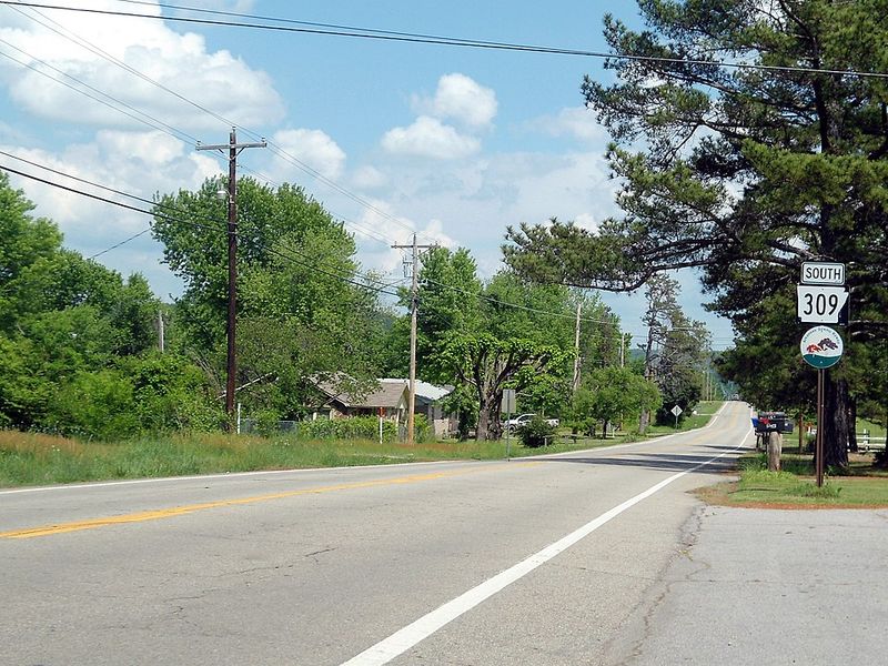
French explorers once named this mountain after military ammunition magazines, believing the flat-topped formation resembled them. Today, Mount Magazine is known as the highest point in Arkansas, and the 20.4-mile scenic byway connecting Paris and Havana is the most dramatic way to reach it.
Highway 309 earns its reputation through a series of hairpin switchbacks and sharp curves that make the climb feel like a genuine adventure. As the road gains elevation, the trees thin out enough to reveal increasingly dramatic views of rugged rock bluffs and distant ridgelines.
Mount Magazine State Park waits at the top with a well-appointed visitor center, lodging options, camping facilities, and hiking trails that explore the mountain’s unique ecosystem. The southern and eastern overlooks deliver the most striking perspectives, with clear days offering views of several lakes glittering far below. Before heading up, the town of Paris is worth a stop, home to an 1880 Georgian-style courthouse and an 18-foot replica of the Eiffel Tower that surprises nearly every first-time visitor.
3. Ozark Highlands Scenic Byway, Jasper to Clarksville, Arkansas
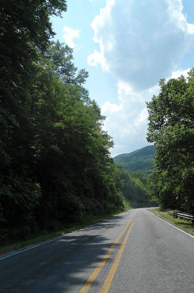
Newton County has earned the title of Elk Capital of Arkansas, and the Ozark Highlands Scenic Byway is one of the best places to understand why. A herd of roughly 450 elk roams the Buffalo River corridor near this route, making wildlife sightings a genuine possibility on any given drive.
The 35-mile stretch of Arkansas State Scenic Highway 21 travels through the elevated Boston Mountains, crossing ridges between the headwaters of several major streams. White-tailed deer, wild turkeys, black bears, and occasionally bald or golden eagles are also spotted along this corridor.
Small historic settlements like Ozone, Fallsville, and Mossville appear along the way, each offering a brief look at communities that have changed very little over the decades. An escarpment overlook provides a broad view of the Arkansas River Valley that is worth timing a stop around. Motorcyclists favor this byway for its combination of sweeping curves and well-maintained pavement, and autumn riders in particular treat it as a seasonal pilgrimage when the foliage peaks.
4. Sylamore Scenic Byway, Mountain View to Calico Rock, Arkansas
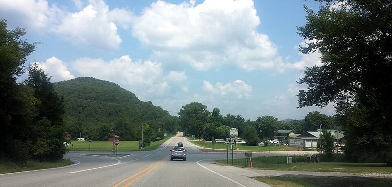
Blanchard Springs Caverns is the only tour cave in the Ozarks managed by the National Forest Service, and the Sylamore Scenic Byway puts it right on your route. The 26.5-mile drive combines sections of Highways 5 and 14 with a Forest Service road to create one of the most complete Ozark experiences available from a car window.
Mountain View sets the tone at the start, a town with a long folk music tradition and the Ozark Folk Center as its cultural centerpiece. From there, the road follows streams through karst terrain, where caves, springs, and waterfalls appear with regularity. Near Allison, the highway runs parallel to the White River below towering limestone cliffs before climbing to a ridge-top stretch with broader views.
The Blanchard Springs Recreation Area offers camping, fishing, and swimming at a large natural spring. Two Civilian Conservation Corps structures from the 1930s, the Sugarloaf Fire Tower and Stone House, serve as historical landmarks along the way. Calico Rock, with its downtown on the National Historic Register, provides a quiet and fitting end point to the journey.
5. Boston Mountains Scenic Loop, Alma to Fayetteville, Arkansas
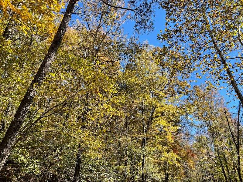
Before Interstate 49 existed, U.S. Highway 71 was the main road connecting communities through the Boston Mountains, and it began life even earlier as part of an old stagecoach route linking St. Louis to San Francisco. That history is still present in the character of the road today.
The Boston Mountains Scenic Loop pairs the efficiency of I-49 with the slower charm of U.S. 71, giving drivers a choice between two very different experiences of the same landscape. The U.S. 71 segment winds through forested hills, past eroded cliff faces and roadside farms, at a pace that invites exploration rather than transit.
Artist Point and Saddle Canyon is the standout stop, an overlook with views of Lake Fort Smith in the valley below and a trail leading to a 15-foot waterfall behind the old gift shop. The town of Mountainburg adds a quirky touch with two large dinosaur sculptures in its city park. For those taking I-49, the Bobby Hopper Tunnel, the state’s only road tunnel, adds an unexpected moment of drama to the drive.
6. Talimena Scenic Drive, Mena, Arkansas
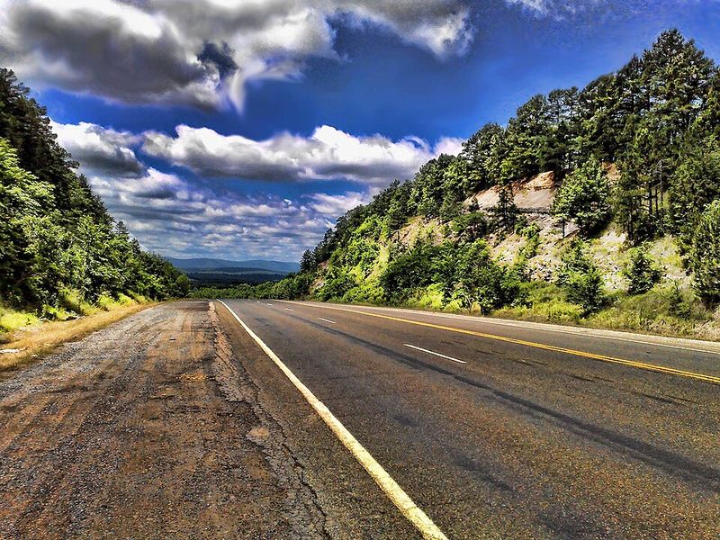
Queen Wilhelmina State Park sits near the crest of Rich Mountain, and reaching it via the Talimena Scenic Drive is half the reason to make the trip. This 54-mile designated National Scenic Byway begins near Mena on Arkansas Highway 88 and climbs onto the forested ridges of the Ouachita National Forest, where the views extend deep into both Arkansas and Oklahoma.
The route follows the spine of the mountains for much of its length, which means the overlooks come frequently and the vistas are consistently wide. Numerous pull-off areas make it easy to stop, take photos, and simply appreciate the scale of the landscape below.
Late autumn is when this drive reaches its visual peak, with hardwood forests cycling through shades of red, orange, and yellow across the rolling ridgelines. Spring offers its own appeal, when fresh green growth fills in the hillsides after winter. The Talimena Scenic Drive is a sustained ridge-top experience that rewards travelers with long, uninterrupted views at nearly every mile.
7. Great River Road National Scenic Byway, Helena-West Helena to Lake Village, Arkansas

Lake Chicot is the largest natural lake in Arkansas and the largest oxbow lake in North America, formed when the Mississippi River abandoned one of its old channels. It sits along the Great River Road National Scenic Byway, which is reason enough to put this drive on the list.
The route follows the entire eastern border of Arkansas alongside the Mississippi River, where green and white steamboat pilot’s wheel signs mark the way. The river itself is often hidden behind the levee system, but its presence defines everything, from the fertile farmland to the historic river towns that developed along its banks.
History runs deep here. The Historic Dyess Colony preserves the childhood home of Johnny Cash, while the Sultana Disaster Museum in Marion commemorates America’s worst maritime event on the Mississippi River. The Arkansas Post National Memorial marks the site of the first permanent European settlement in the lower Mississippi Valley. For birdwatchers, the wildlife refuges along this route offer some of the best viewing opportunities in the entire state.
8. Crowley’s Ridge Parkway, Helena-West Helena to Piggott, Arkansas
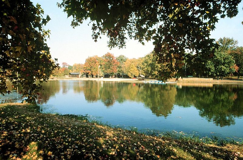
Wind-blown loess soil accumulated between former channels of the Mississippi and Ohio Rivers over millions of years to create Crowley’s Ridge, a geological formation that rises 200 to 550 feet above the surrounding flatlands. That backstory alone makes this one of the more unusual drives in the entire country.
Designated as Arkansas’s first National Scenic Byway in 1998, the parkway covers approximately 198 miles through the state before continuing into Missouri. The contrast between the wooded ridge and the flat Delta fields on either side is immediately noticeable and remains striking throughout the drive.
Forested hills, historic communities, and state parks including Morris State Park appear along the route, providing regular reasons to slow down and stop. The unique loess soils support plant species not commonly found in the surrounding Delta, creating pockets of biodiversity that give the ridge its own ecological identity. Spring brings dogwoods and redbuds into bloom, while autumn delivers a broad range of warm foliage colors. Civil War sites like Chalk Bluff Natural Area add historical depth to the journey.
9. West-Northwest Scenic Byway, Fort Smith to Siloam Springs, Arkansas
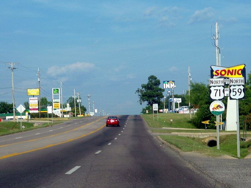
Rather than a single straight road, the West-Northwest Scenic Byway is a 261-mile network of connected highways including US 71, I-540, and portions of Highways 10, 23, and 96, making it one of the most expansive byway systems in the state. That scale means the scenery changes regularly and the route suits travelers who enjoy variety.
Fort Smith anchors the eastern end with a lineup of cultural stops. The U.S. Marshals Museum, the Fort Smith Regional Art Museum, and the Fort Smith National Historic Site each offer a different angle on the region’s layered past. From there, the byway fans out across western Arkansas through countryside that is gentler in terrain than the Ozarks, a quality that made it historically more accessible for early settlers.
One segment heads south toward Mena along U.S. 71, while another swings east on Highway 10 toward Ola, where it meets the Arkansas Scenic 7 Byway. Rural views, forested stretches, and access to outdoor recreation areas make this a rewarding drive for anyone who prefers a quieter alternative to the state’s more heavily traveled scenic routes.
10. Scenic Highway 309 to Mount Magazine State Park, Paris, Arkansas
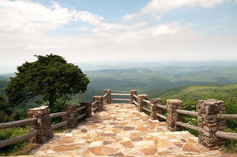
There is a specific moment on Highway 309 when the trees part just enough to reveal the Arkansas River Valley spread out far below, and that moment alone justifies the entire drive. The road begins its climb just outside the town of Paris, passing farms and open pastures before the forest closes in and the switchbacks begin.
Although Highway 309 forms part of the broader Mount Magazine Scenic Byway, this particular stretch earns its own recognition for the quality of its ascent. The hairpin turns require full attention, and the reward for that attention is a series of overlooks that grow more dramatic with every curve completed.
Mount Magazine State Park waits at the summit with a visitor center covering the mountain’s geology, wildlife, and plant life, along with lodging, camping, and trails including the Benefield Trail. At 2,753 feet, the views from the plateau look out over the surrounding lowlands with a clarity that makes the climb feel like a genuine achievement. Paris itself adds a charming starting point, with its 1880 courthouse and unexpected 18-foot Eiffel Tower replica greeting visitors before the mountain takes over.
Share this story