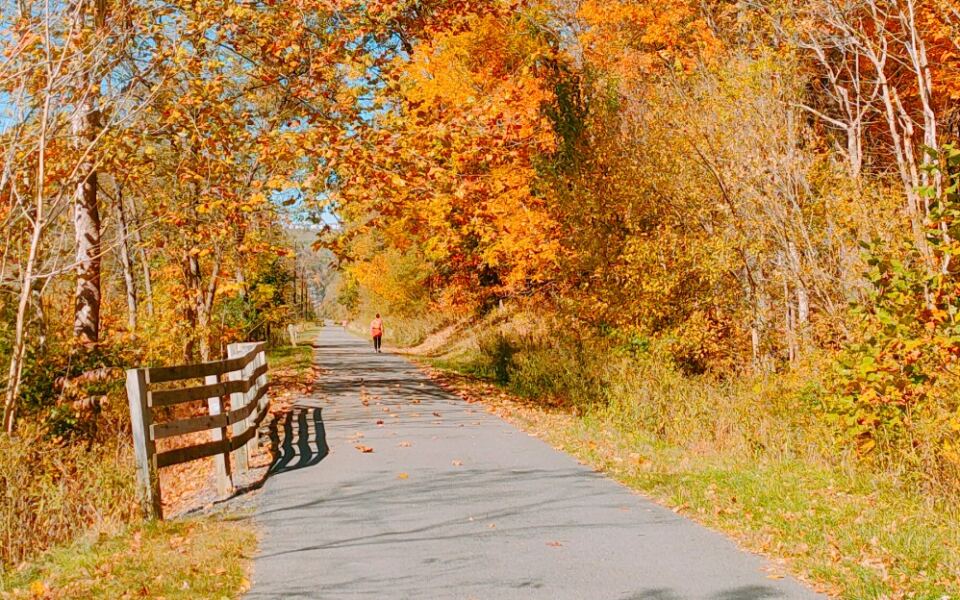
West Virginia has a reputation for steep terrain, but the state holds a surprisingly well-kept secret: dozens of miles of bike-friendly routes where the elevation barely notices you are there. Many of these trails follow the same corridors that railroads once used, because trains need gentle grades to move freight efficiently, and cyclists today reap the benefits.
You will find routes tracing river valleys, passing through old tunnels, crossing restored trestles, and rolling through small towns that feel like they belong to a quieter era. Whether you are a casual weekend rider or someone planning a multi-day adventure, West Virginia has a trail that fits.
This list covers 10 routes across the state where the terrain works with you rather than against you, so you can spend less energy grinding uphill and more time actually enjoying the ride.
1. Greenbrier River Trail, Marlinton, West Virginia
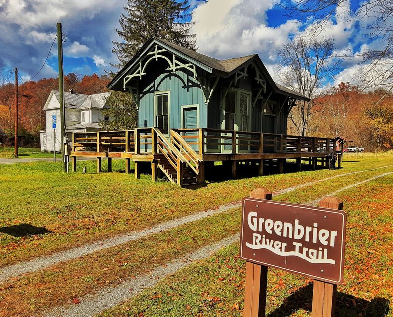
At 78 miles long with a grade of less than one percent, the Greenbrier River Trail is essentially a gift to cyclists who want distance without punishment.
The former railroad corridor drops just 732 feet from north to south through the Allegheny Highlands, which means most riders will barely notice the elevation change over the course of a full day.
The surface is primarily hard-packed crushed limestone, with a three-mile asphalt stretch south of Marlinton for variety. Along the way, 35 bridges and two tunnels, including the 500-foot Sharps Tunnel, add genuine excitement to an otherwise relaxed ride.
Fifteen primitive campsites make multi-day trips very manageable, and small towns like Marlinton offer lodging and food for those who prefer a bed. One practical note: cell service can be limited in the upper reaches due to a nearby radio astronomy quiet zone, so download your maps before you go.
2. North Bend Rail Trail, Cairo, West Virginia
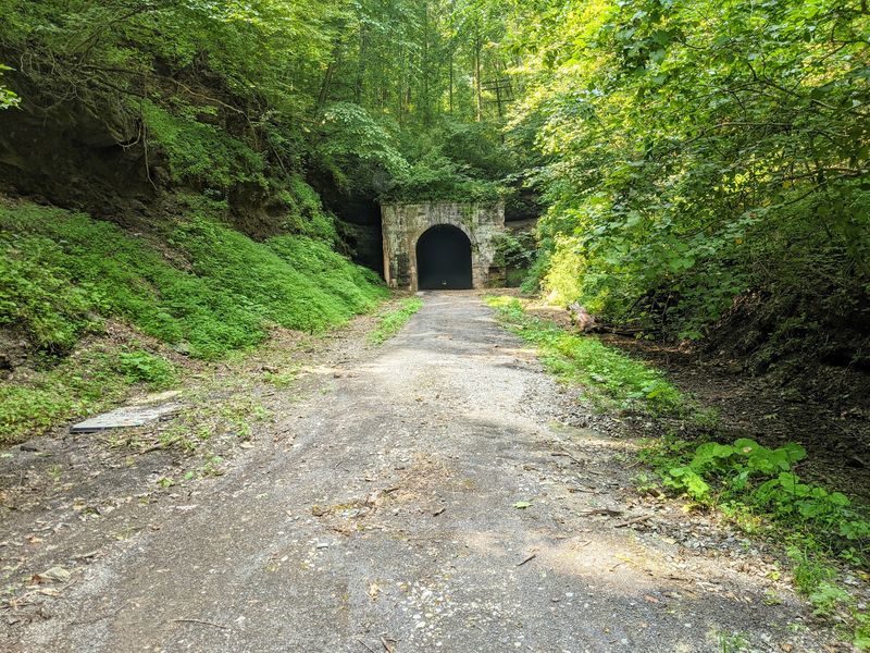
Haunted tunnels and 69 miles of rolling countryside make the North Bend Rail Trail one of West Virginia’s most character-rich cycling routes.
The former B&O Railroad corridor maintains a grade no steeper than three percent, with most sections sitting closer to one or two percent, so the terrain stays manageable even on longer stretches.
Ten of the original 13 railroad tunnels remain open to cyclists, including the nearly half-mile Central Station Tunnel and the 1,376-foot Silver Run Tunnel, which has a local reputation for being haunted. Bring a flashlight, because some of these passages get genuinely dark.
The surface is mostly crushed stone, with paved sections in West Union and Salem for a smoother ride. North Bend State Park sits near the midpoint and provides a convenient rest stop with lodging, camping, and showers.
The trail also forms part of the 5,500-mile American Discovery Trail, which is impressive company to keep.
3. West Fork Trail, Durbin, West Virginia
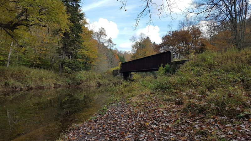
Tucked inside the Monongahela National Forest, the West Fork Trail covers roughly 22 to 26 miles of wonderfully isolated terrain between Durbin and Glady.
The grade hovers around one percent, which is about as gentle as it gets for a mountain forest setting. Riding from Glady toward Durbin follows a slight downstream decline that makes the return leg feel like the trail is quietly rooting for you.
The surface is crushed limestone and gravel with some rougher ballast sections, so wider tires are a smart investment before you arrive. Historic trestles and interpretive signs mark the locations of railroad ghost towns that once operated along this corridor, adding an unexpected history lesson to the ride.
Durbin at the southern end provides food, lodging, and bike rentals, while services at the Glady end are minimal. Dispersed camping is available throughout the national forest, making this a strong option for anyone planning an overnight backcountry cycling trip.
4. Deckers Creek Trail, Morgantown, West Virginia
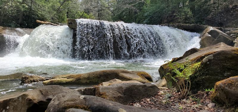
Deckers Creek Trail earns its place on this list as the most energetic option among Morgantown’s connected trail system, climbing roughly 1,000 feet over 19 miles at a steady two to three percent grade.
That is not a walk in the park, but it is a far cry from the punishing climbs West Virginia is famous for. The first three miles are gentler at around one percent, giving riders a comfortable warm-up before the trail settles into its consistent uphill rhythm.
The first 2.5 miles out of Morgantown are paved, transitioning to packed crushed limestone for the remaining 16 miles. Along the way, the trail passes rhododendron groves, rock outcroppings, multiple small waterfalls, and an active limestone quarry that offers an unexpectedly industrial view.
Riders heading back toward Morgantown get a long gradual descent as a reward. Parking, restrooms, and water are available at Hazel Ruby McQuain Riverfront Park, where this trail connects with the Mon River and Caperton trails.
5. Mon River Rail-Trail, Morgantown, West Virginia
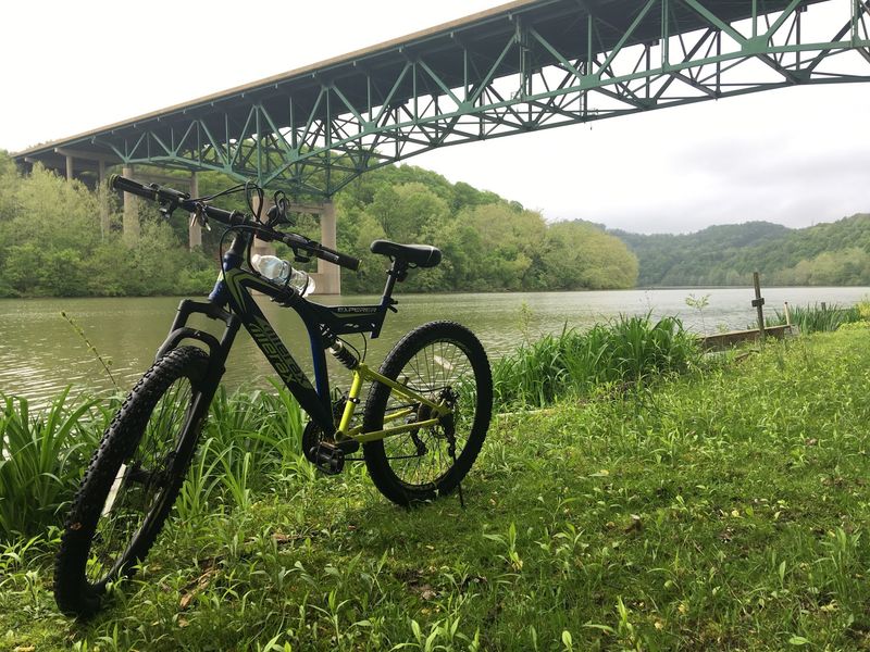
Few trails in West Virginia make it this easy to settle into a comfortable cycling pace and simply stay there for miles.
The Mon River Rail-Trail follows the Monongahela River for 17.7 miles within Monongalia County, with a total system length of 23.7 miles when Marion County sections are included. The former CSX railroad corridor is notably flat, and the compacted crushed limestone surface rolls smoothly under most tire types.
The route shifts between urban sections near Morgantown and quieter rural stretches as the city falls behind. Occasional waterfalls and wildflowers add visual interest without requiring any effort to find them.
At its southern end near Prickett’s Fort State Park, the trail connects to the Marion County Trail. At the northern end, it links to the Sheepskin Rail-Trail at the Pennsylvania border.
Parking is available at multiple trailheads including Van Voorhis, Edith Barill Riverfront Park, and Prickett’s Fort State Park. Note that a five-mile section near Opekiska is currently closed for resurfacing.
6. Caperton Trail, Morgantown, West Virginia
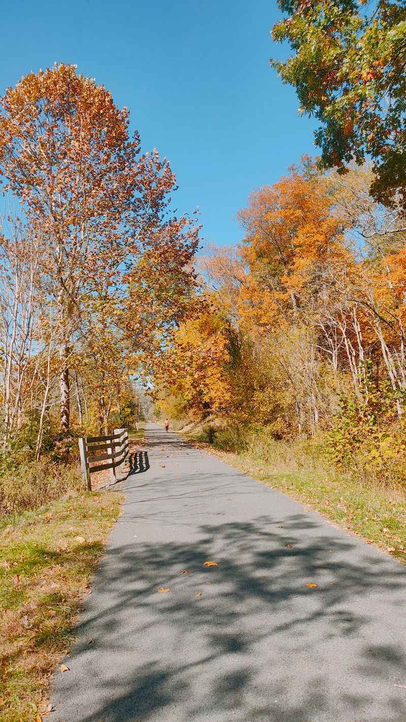
Pavement, public art, and a nearly flat profile make the Caperton Trail the most polished entry in Morgantown’s trail network, and one of the most accessible cycling routes in the entire state.
The trail runs for roughly five to six miles through the city’s riverfront corridor, weaving through Edith Barill Park, the WVU Core Arboretum, and Hazel Ruby McQuain Riverfront Park. Murals, sculptures, and a September 11th Tree Memorial are placed along the route, turning a casual bike ride into a small cultural tour.
Designated as a National Recreation Trail, the Caperton connects the Mon River Trail’s north and south sections and also links directly to the Deckers Creek Trail. That makes it a natural starting point for riders who want to explore the full 48-mile trail system without committing to all of it on the first visit.
Parking is available at Hazel Ruby McQuain Riverfront Park and Edith Barill Riverfront Park, with trailside bike rentals offered at the Seneca Center. Restrooms and water are available at both main parks.
7. Marion County Trail, Fairmont, West Virginia
A 1,200-foot lighted tunnel is not something most 2.5-mile trails can claim, but the Marion County Trail, better known locally as the MCTrail, delivers exactly that.
Built on an old Baltimore and Ohio Railroad right-of-way, the trail maintains a gentle average grade of about one percent. The paved asphalt surface runs alongside Pricketts Creek, and the Meredith Tunnel serves as the unmistakable highlight of the ride.
The trail starts near Prickett’s Fort State Park, a reconstructed 1774 frontier outpost that adds genuine historical weight to what might otherwise feel like a quick out-and-back. Interpretive signs identify tree species along the route, and birdhouses are installed at regular intervals, giving birdwatchers a reason to slow down.
The MCTrail connects directly to the Mon River Trail near Prickett’s Fort, which means this short route can become the starting point of a much longer day. Parking is available at Prickett’s Fort State Park on the north end and on Morgantown Avenue in Fairmont on the south end.
8. Brooke Pioneer Trail, Wellsburg, West Virginia
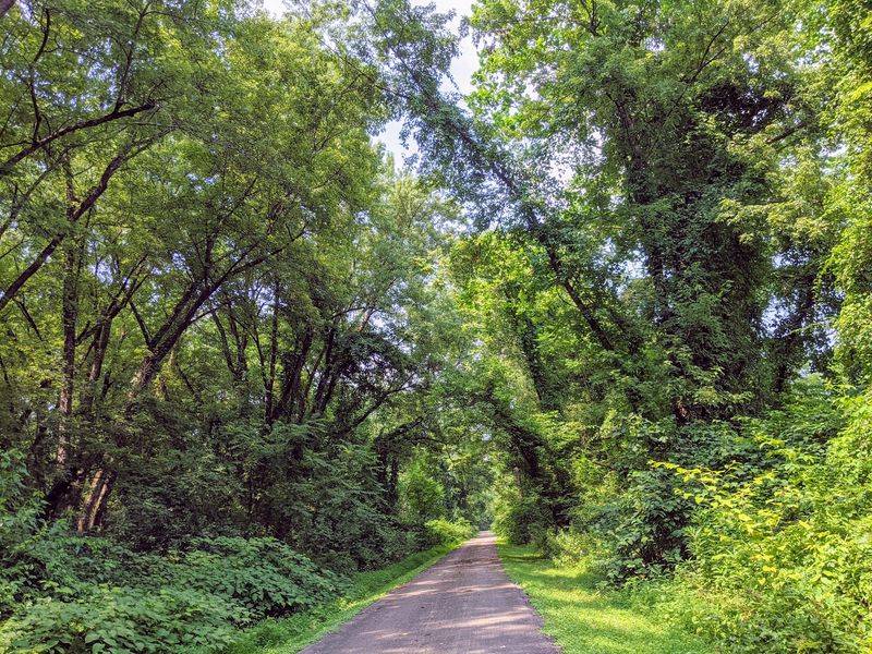
The Ohio River has been moving freight and shaping communities in West Virginia’s Northern Panhandle for centuries, and the Brooke Pioneer Trail gives cyclists a front-row seat to all of it.
This 6.7-mile paved route follows the eastern bank of the Ohio River south from Wellsburg, staying mostly flat with one brief dip and climb where the trail connects to street level. A woodsy corridor runs alongside much of the route, occasionally opening up to reveal the broad river and the dramatic hills on the Ohio side.
The trail crosses Buffalo Creek on a restored railroad trestle and features interpretive signs about the Panhandle Railroad, turning a pleasant ride into an informal history lesson. Ruby Park, complete with a gazebo, provides a natural rest stop midway through.
The new Wellsburg Bridge, opened in September 2023, includes a shared-use path leading to Brilliant, Ohio, adding a cross-state connection for adventurous riders. At its southern end, the trail links directly to the Wheeling Heritage Trails for a combined 18-mile Ohio River corridor.
9. Cheat River Rail-Trail, Kingwood, West Virginia
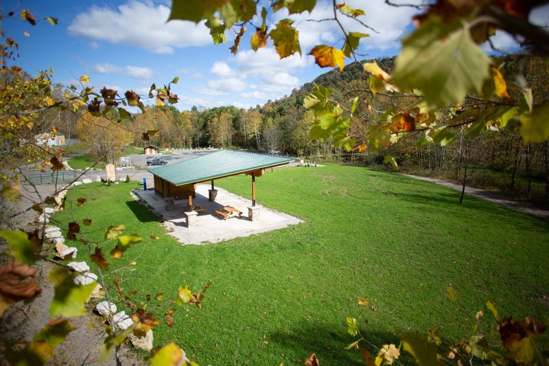
Preston County does not always make the top of West Virginia cycling lists, but the Cheat River Rail-Trail makes a convincing case for why it should get more attention.
The developed section currently runs 2.8 to three miles along the Cheat River and the Cheat River Scenic Byway, with plans to extend the trail to approximately 8.5 miles when future construction is complete. The corridor is described as nearly flat, which is a rare combination in this part of the state.
The surface is packed stone with a paved section near Camp Dawson, giving the trail a pleasantly rustic character without being difficult to ride. The Cheat River Narrows, accessible from the trail, is a popular spot for boating, fishing, and riverside exploration.
The Cheat River Trailhead at 10922 River Road in Kingwood provides parking, restrooms, picnic areas, a water bottle filling station, and the Keith Pitzer Memorial Pavilion. A planned 430-foot trestle bridge will eventually add a dramatic crossing to the experience.
The trailhead is open daily from dawn to dusk.
10. Panhandle Trail, Weirton, West Virginia
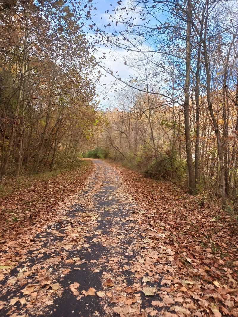
Most people driving through the Northern Panhandle region of West Virginia would not guess that a 29-mile multi-state cycling corridor runs quietly through the Appalachian foothills just off the highway.
The Panhandle Trail begins in Weirton and covers about four miles within West Virginia before crossing into Pennsylvania, where it continues for another 25 miles. The grade averages one percent along the former railroad corridor, with a gradual climb toward Midway, Pennsylvania, which marks the route’s high point.
The West Virginia section is predominantly crushed limestone, with some paved patches along Harmon Creek to prevent erosion. The trail passes through coal country and crosses a 1913 railroad trestle that also carries the Montour Trail, a fun piece of infrastructure history for those paying attention.
The Panhandle Trail connects to the Montour Trail, which in turn links to the Great Allegheny Passage, making this a gateway into a much larger regional trail network. Parking is available at McColl Road in Colliers, West Virginia, and at McDonald Trail Station in Pennsylvania.
Share this story