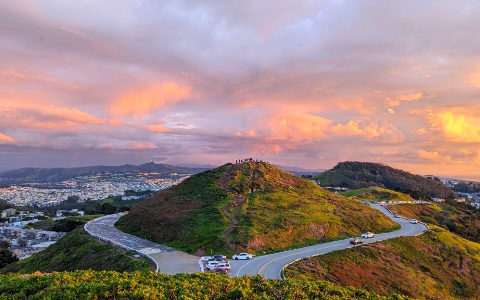
Most American cities grow around rivers, highways, and busy downtown streets. A few have a far bigger roadblock in the middle of town, and it is made of solid rock.
In these places, visiting a friend across town might mean driving over a mountain pass, winding up a steep road, or zipping through a tunnel. Some residents can see the other side of their city from their kitchen window but still need twenty minutes to get there.
Mountains decide where the streets go, where the houses sit, and even how neighbors describe where they live. One desert suburb is famous for being a giant dead end.
Another city rides a cable car up a cliff to get home from work. Keep reading to meet fourteen cities where the map comes with peaks, ridges, and valleys built right in, along with tips on the best roads, trails, and lookouts for seeing the divide yourself.
1. South Mountain, Phoenix, Arizona
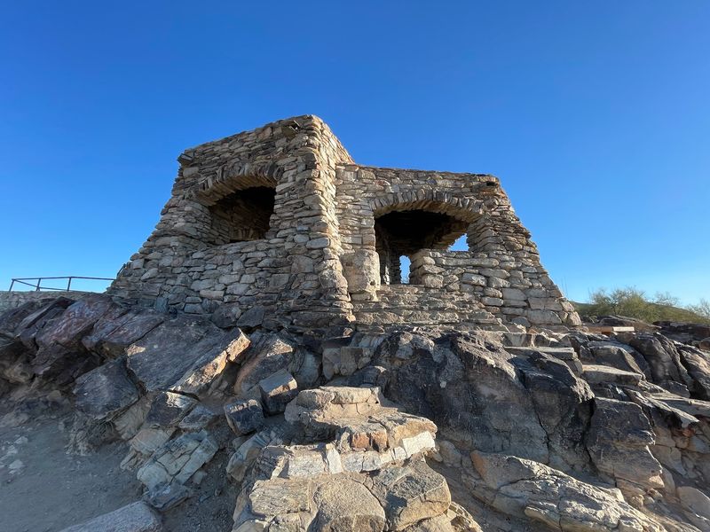
Locals call Ahwatukee the world’s largest cul-de-sac, and South Mountain is the reason why.
The rugged range splits southern Phoenix in two. South Mountain Village sits on the north side, while Ahwatukee hugs the southern foothills with only a few ways in or out.
South Mountain Park and Preserve covers more than 16,000 acres, making it one of the largest city-run parks in the country. It includes three ranges: Ma Ha Tauk, Gila, and Guadalupe.
Summit Road climbs about 5.5 miles to Dobbins Lookout, which sits at 2,330 feet. From there, you can spot neighborhoods that look close but sit miles apart by car.
Hikers and bikers get more than 100 miles of trails to explore. The Desert Classic Trail runs right alongside homes in Ahwatukee.
Plan your visit for early morning, since summer afternoons get very hot. Bring plenty of water, too.
2. Chugach Mountains, Anchorage, Alaska
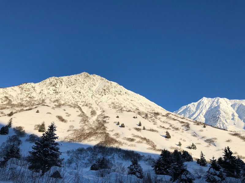
Moose sightings in the driveway are a normal Tuesday for some Anchorage families.
The city sits squeezed between Cook Inlet on the west and the Chugach Mountains on the east. Downtown spreads across fairly flat ground, but the Hillside area climbs straight into the range.
Neighborhoods such as Bear Valley and Rabbit Creek perch on steep slopes southeast of downtown. Roads twist and turn to reach homes tucked between trees and ridges.
Chugach State Park forms the eastern edge of town and covers nearly 500,000 acres. That means the mountains stay wild and the city cannot simply keep spreading uphill.
The drive to the Glen Alps trailhead shows the change best. In a few minutes, city blocks give way to forest and open alpine views.
From Glen Alps, Flattop Mountain is one of the most popular hikes in Alaska. Bring layers, because weather changes quickly up there.
3. Franklin Mountains, El Paso, Texas
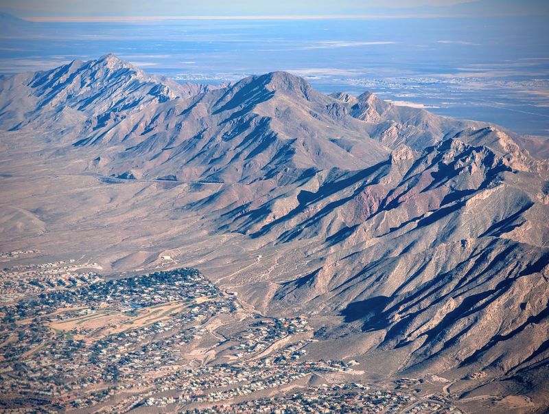
Few cities can claim a whole mountain range parked right in the middle of town.
El Paso can. The Franklin Mountains rise thousands of feet and split the West Side from Northeast El Paso with very little room for argument.
Franklin Mountains State Park protects more than 27,000 acres of this range. It ranks among the largest urban parks in the United States.
Getting across usually means taking Transmountain Road, also called Loop 375. The route climbs through a high pass and drops down the other side, saving drivers a long trip around the range.
Pull-offs along the way let you stop and look at both halves of the city. Rocky slopes, yucca, and cactus line the road.
Hikers can try the Ron Coleman Trail or the Aztec Caves Trail. Start early, wear sturdy shoes, and carry extra water, since shade is hard to find.
4. Twin Peaks, San Francisco, California
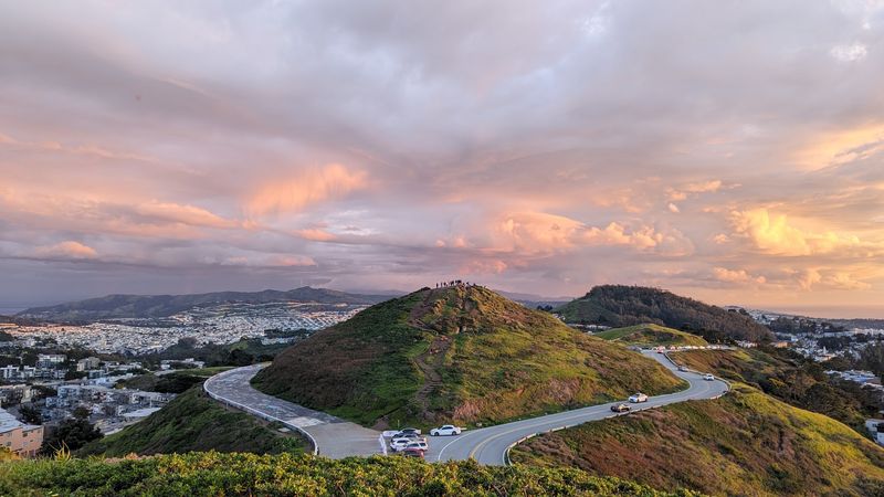
San Francisco has dozens of hills, but only one pair gets to stand at the center of attention.
Twin Peaks rises near the middle of the city. The two grassy summits separate western neighborhoods such as West Portal and Midtown Terrace from the busy districts near Market Street.
Before 1918, getting west of the hills took real effort. That year, the Twin Peaks Tunnel opened, and streetcars could finally run straight under the slopes.
Muni light rail trains still use that tunnel today. It helped turn the west side from sand dunes into full neighborhoods.
Drivers can also take Twin Peaks Boulevard, which loops around the summits. Parking at the top is limited, so arrive early on weekends.
The view covers the downtown skyline, the bay, and rows of houses stretching toward the Pacific Ocean. Pack a jacket, since wind and fog often roll in fast.
5. Santa Monica Mountains, Los Angeles, California
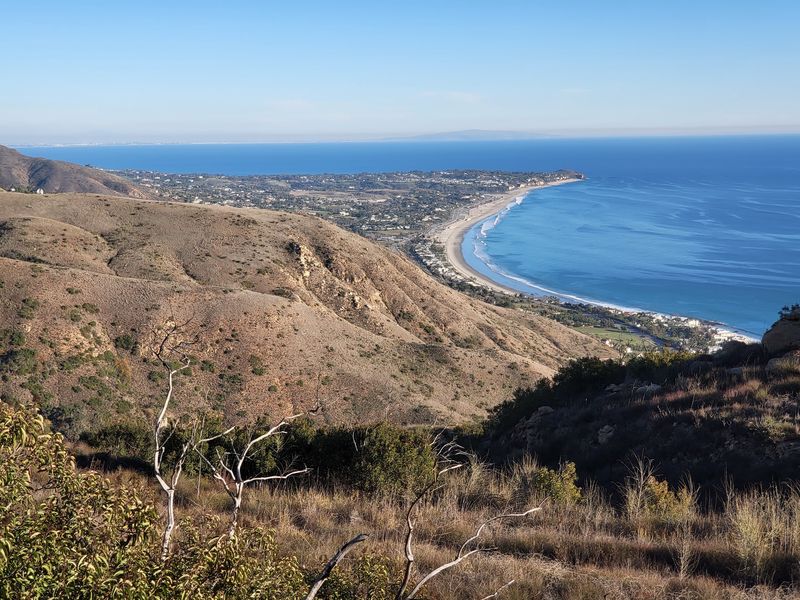
Ask an Angeleno whether they live in the Valley or over the hill, and you will get a very serious answer.
The Santa Monica Mountains draw that line. Sherman Oaks and Studio City sit in the San Fernando Valley to the north, while Hollywood and much of central Los Angeles lie to the south.
Crossing between them means using passes and canyon roads. The 405 Freeway through Sepulveda Pass and the 101 through Cahuenga Pass carry huge amounts of traffic daily.
Smaller routes, including Laurel Canyon and Coldwater Canyon, twist through hillside neighborhoods. Expect slow going during rush hour.
Mulholland Drive runs along parts of the ridgeline. Overlooks let you see the Valley on one side and the Los Angeles Basin on the other.
The Valley side often runs ten or more degrees warmer in summer. Pack sunscreen if you plan to hike Runyon Canyon or Fryman Canyon.
6. Red Mountain, Birmingham, Alabama
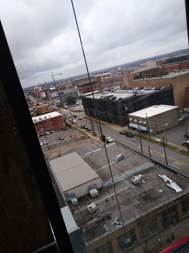
Birmingham owes much of its existence to the ridge running across its southern side.
Red Mountain held rich iron ore, and that ore fed the furnaces that built the city in the late 1800s. Growth came so fast that Birmingham earned the nickname The Magic City.
Today, the long ridge separates the downtown basin from neighborhoods on and beyond its slopes. Highland Park and Redmont Park feature curving streets and hillside homes.
Vulcan, the world’s largest cast iron statue, stands on top. Visitors can ride an elevator to an observation deck for a wide view of downtown.
Red Mountain Park also offers trails past old mine entrances and ziplines through the trees. It covers more than 1,500 acres.
For a quick history lesson, check out the museum at Vulcan Park first. Then head to the deck, where the city layout makes much more sense.
7. Missionary Ridge, Chattanooga, Tennessee
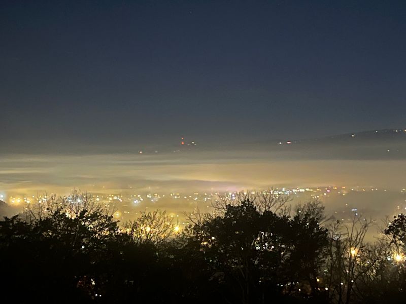
History buffs can tour a Civil War battlefield here without ever leaving a residential street.
Missionary Ridge stretches through eastern Chattanooga. Highland Park and Ridgedale sit to the west, while other neighborhoods grew up on the far side.
In November 1863, Union troops charged up these slopes during the Battle of Chattanooga. They pushed Confederate forces off the crest in a surprise success.
Small reservations with monuments now sit between houses along Crest Road. Plaques explain what happened at each spot.
Crest Road itself makes a fun drive. It follows the top of the ridge with peeks of the city below.
Parking near the monuments is tight, so be respectful of neighbors. Pair the trip with Point Park on Lookout Mountain for the full story of the battle.
8. Koʻolau Mountain Ridges, Honolulu, Hawaii
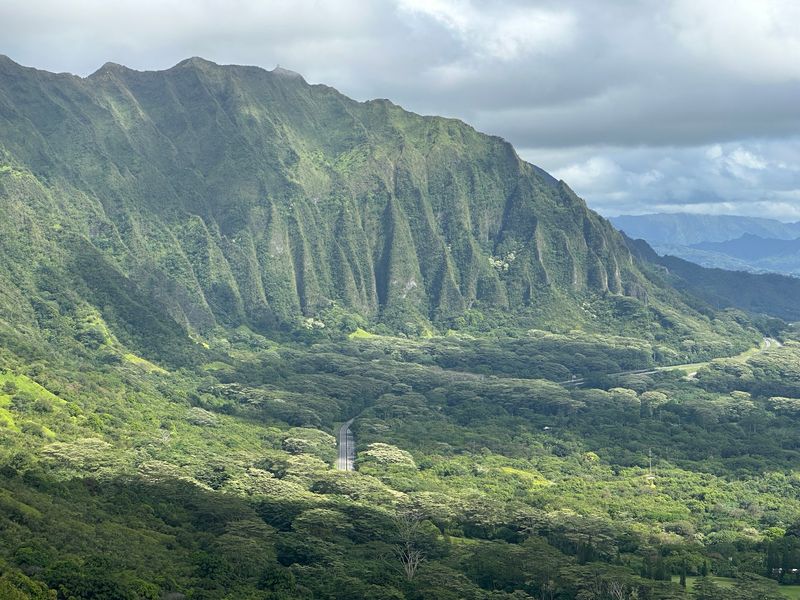
East Honolulu looks a bit like a hand with its fingers spread, and every gap holds a neighborhood.
Steep green ridges drop from the Koʻolau Range toward the ocean. Between them sit valley communities such as ʻĀina Haina, Niu Valley, and Kuliʻouʻou.
Each valley has one main road leading inland. To visit the next valley, residents usually drive back down to the coast first.
Kalanianaʻole Highway ties everything together along the shoreline. It also leads toward Hanauma Bay and Makapuʻu.
Hikers love the ridge trails here. Kuliʻouʻou Ridge Trail climbs to the top of the Koʻolau for views of both coasts.
Trails can be muddy and steep after rain. Respect private property, use marked trailheads, and start in the morning before clouds roll over the summit.
9. Mount Washington, Pittsburgh, Pennsylvania
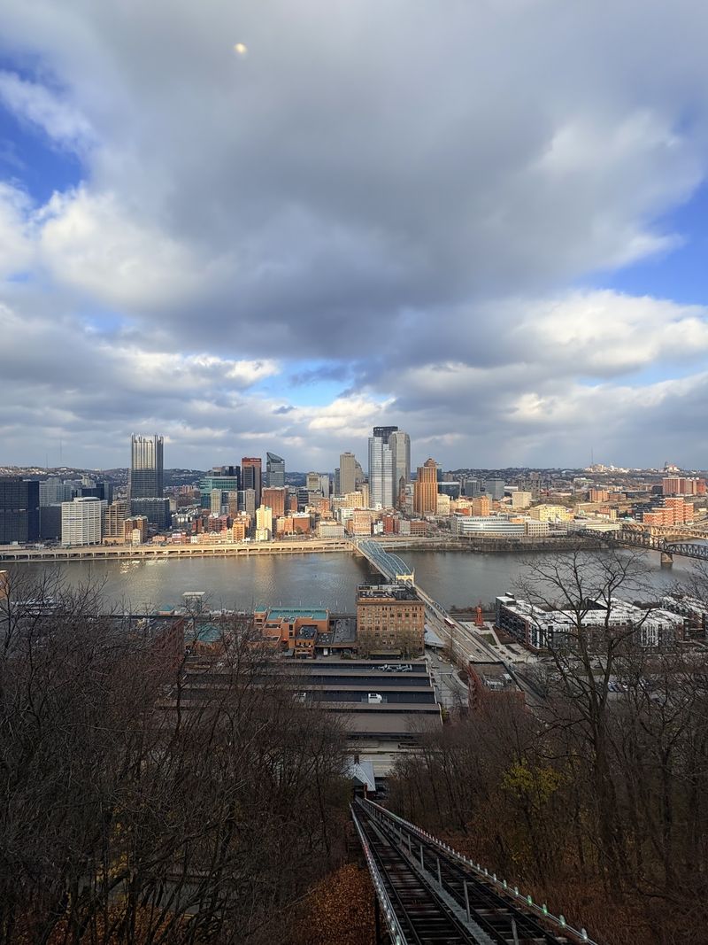
Commuting by cable car sounds fancy, yet Pittsburghers have done it since 1870.
The Monongahela Incline climbs Mount Washington, the steep ridge rising above the riverfront. It is the oldest continuously operating funicular in the country.
Mount Washington separates downtown from neighborhoods such as Beltzhoover, Beechview, and Brookline. Getting to them by car usually means using the Liberty Tunnels, which bore straight through the hill.
Locals simply call them the Liberty Tubes. They opened in 1924 and helped the South Hills grow quickly.
Grandview Avenue runs along the top with overlooks. The view shows downtown, plus the Allegheny, Monongahela, and Ohio rivers meeting at the Point.
The incline accepts transit fares, so it makes an affordable outing. Go at dusk to watch the city lights switch on.
10. Mill Mountain, Roanoke, Virginia
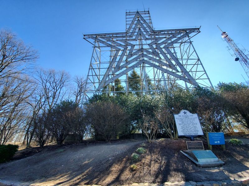
Roanoke put a giant star on its mountain in 1949, and the city has been called the Star City ever since.
The Roanoke Star stands about 88 feet tall on Mill Mountain. It ranks among the largest freestanding illuminated man-made stars in the world.
Mill Mountain divides South Roanoke from Garden City and neighborhoods southeast of the summit. Its wooded slopes form a big green block in the middle of town.
Roads curve around and over the mountain. The drive to the top is short, and parking is free.
Mill Mountain Park also offers a small zoo with red pandas and snow leopards. Trails such as Monument Trail connect the summit with neighborhoods below.
Bring a camera for the overlook. It shows downtown plus the Blue Ridge Mountains rolling off in every direction.
11. Sharp’s Ridge, Knoxville, Tennessee
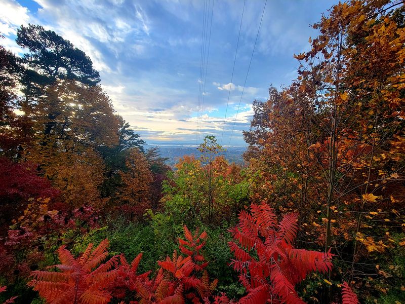
North Knoxville has a long wooded wall running right through it.
Sharp’s Ridge separates neighborhoods such as Oakwood-Lincoln Park and Whittle Springs from Fountain City and Inskip. Only a handful of roads cross it.
Much of the ridge top is protected as Sharp’s Ridge Memorial Park. The park honors veterans and offers a quiet escape just minutes from downtown.
Birders flock here during spring and fall migration. The ridge is known as a strong spot for seeing warblers.
An overlook platform shows downtown Knoxville and the Tennessee Valley. On clear days, the Great Smoky Mountains appear on the horizon.
The road to the top is narrow and winding. Drive slowly, watch for cyclists, and visit in daylight since the park closes in the evening.
12. Beaucatcher Mountain, Asheville, North Carolina
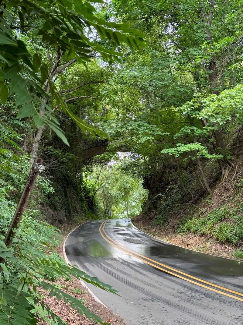
Ever wonder how Tunnel Road got its name? Beaucatcher Mountain holds the answer.
The mountain stands between downtown Asheville and eastern neighborhoods such as Haw Creek. For decades, travelers had to climb over it on steep routes.
In the late 1920s, the Beaucatcher Tunnel opened. It gave cars a direct path through the rock, and Tunnel Road became a busy shopping strip on the other side.
Later, Interstate 240 cut through the mountain in an open gap. Locals still debate that big cut, which changed the skyline.
Beaucatcher Overlook Park now protects wooded land on top. Its short trails lead to views of downtown with the Blue Ridge behind it.
Paths are steep in spots. Wear good shoes, and pair the hike with a stroll through downtown afterward.
13. Wasatch Foothills, Salt Lake City, Utah
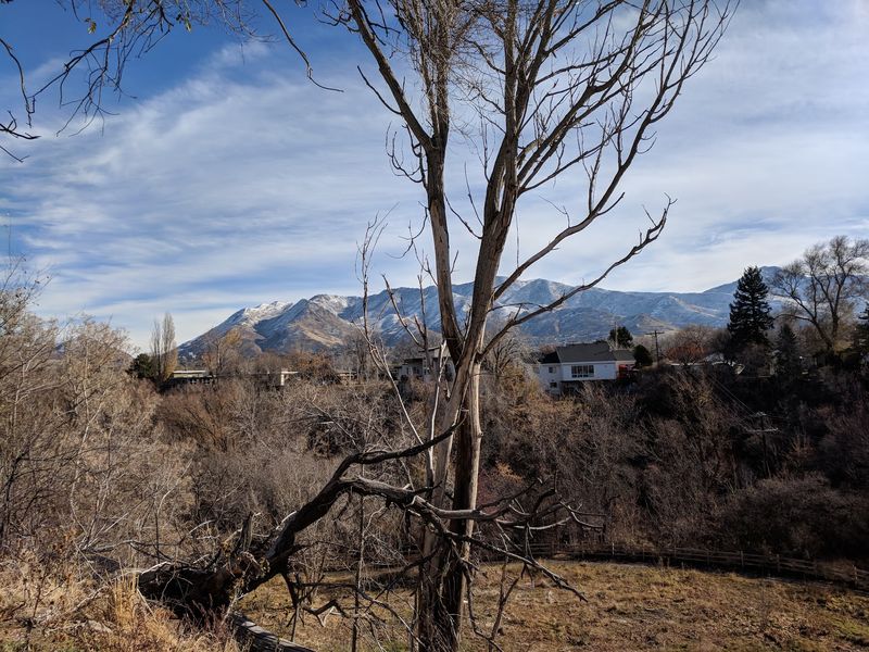
Salt Lake City’s famous street grid works perfectly until it bumps into the mountains.
On the East Bench, the flat valley floor tilts up toward the Wasatch Range. Neighborhoods such as Oak Hills, St. Mary’s, and Arcadia Heights sit on this higher ground.
Canyons and ridges break the area into separate pockets. Streets bend and curve here instead of following neat lines.
The Wasatch mostly forms an eastern edge rather than a full split through town. Still, foothill neighborhoods can feel cut off from one another.
The Bonneville Shoreline Trail runs along the bench. It follows an ancient lakeshore line and connects several canyons.
Viewpoints show downtown, the valley, and sometimes the Great Salt Lake. Watch for rattlesnakes in summer and stick to marked paths to protect plants.
14. Juneau Mountain Ridges, Juneau, Alaska
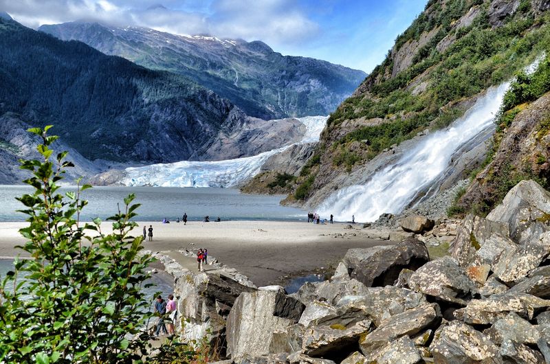
Alaska’s capital cannot be reached by road from the rest of North America.
Mountains and the massive Juneau Icefield block the way, so visitors arrive by plane or ferry. Inside town, those same mountains split the neighborhoods apart.
Downtown is pinned beneath Mount Juneau and Mount Roberts. Houses climb steep streets, and some homes are reached only by staircases.
The Mendenhall Valley sits about ten miles northwest. It holds more flat land, so most residents live there.
Egan Drive links the two areas along the water. Forested slopes rise sharply beside the road the whole way.
The Mount Roberts Tramway lifts riders from the cruise ship docks to about 1,800 feet. From the top, you can see how little level ground the city has.
Share this story