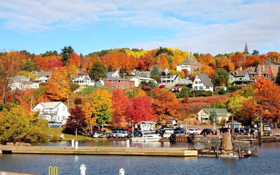
Imagine leaving a coffee shop and reaching a quiet lake or a forest trail before your drink gets cold. Across the United States, small towns sit right where mountains, trees, and water meet.
Some are famous with skiers and hikers, while others stay surprisingly calm. Here are fifteen places where the outdoors is never more than a few minutes away.
Lake Placid, New York
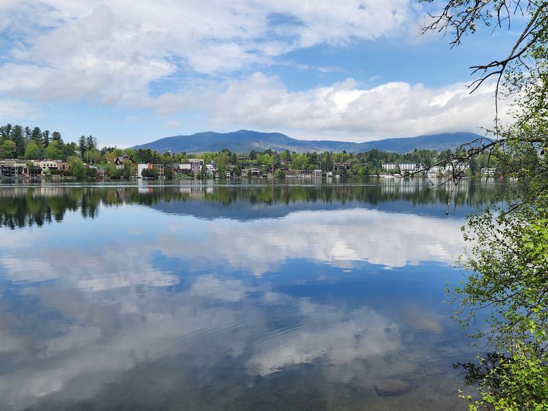
Picture a village wrapped around a mirror-calm lake, with mountains standing guard behind it. That is Lake Placid, tucked inside Adirondack Park, a protected area of about six million acres with more than 3,000 lakes and ponds.
Mirror Lake sits right in the middle of town. A 2.7-mile path follows the shoreline, and the High Peaks fill the view.
Mount Marcy, New York’s tallest summit at 5,343 feet, rises nearby.
Lake Placid also hosted the Winter Olympics in 1932 and 1980. Some of those old competition venues still work today, so visitors can see where champions once raced and jumped.
Still, the real star is the landscape. Paddling, forest hikes, waterfalls, and skiing all start close to the village center.
A smart plan is to spend the morning on a trail and the afternoon on the water. Pack layers, because mountain weather loves to change its mind.
After a long day outside, Main Street is ready with cozy restaurants and shops. You can walk there in muddy boots and nobody will blink.
Joseph, Oregon
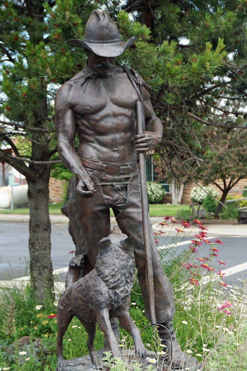
Bronze horses and bears on the sidewalk are not what most people expect in the mountains. In Joseph, they are part of the charm.
Art is everywhere downtown, with large sculptures lining the streets beside galleries and independent shops.
Just outside town, long and narrow Wallowa Lake points straight at the granite peaks of the Wallowa Mountains. Many visitors say it looks more like the Alps than northeastern Oregon.
The Eagle Cap Wilderness is close by, with rivers, high lakes, canyons, forests, and a big network of trails. You could hike for days and still miss half of it.
A simple day works well here. Start with a morning paddle or an easy hike near the lake, then roll back into town for lunch.
Wander the galleries while your legs recover.
Bring a camera with plenty of space. The light on the peaks changes by the hour, and the lake mirrors it all.
Joseph proves you can have wild scenery and a friendly main street in the same afternoon.
Sandpoint, Idaho
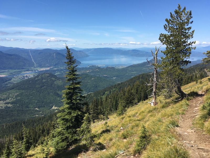
Idaho’s biggest and deepest lake has a town on its shore, and that town knows how to enjoy it. Sandpoint sits on Lake Pend Oreille, with the Selkirk, Cabinet, and Bitterroot ranges all around.
Summer here means kayaking, sailing, fishing, hiking, and cycling. Once snow arrives, nearby Schweitzer turns the hills into a ski playground.
One town gets to be a lake getaway and a mountain base in the same year.
For a scenic drive, try the 34.5-mile Pend Oreille Scenic Byway. It follows the northern shoreline through forest and mountain views, and fall color makes it especially pretty.
Downtown adds plenty of fun. Restaurants, breweries, galleries, and a historic shopping district sit just minutes from the water.
A good tip is to visit in early autumn. The crowds thin out, the air turns crisp, and the lake stays calm enough for a peaceful evening paddle.
Bring a warm jacket and an appetite.
McCall, Idaho
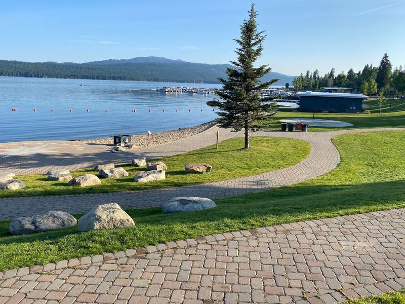
At about 5,000 feet above sea level, McCall greets visitors with thin, clean air and a big glacial lake. Payette Lake covers roughly 5,330 acres and drops to depths near 392 feet.
Forests and mountains surround it in every direction.
Ponderosa State Park fills much of a large peninsula that reaches into the water. Inside you will find more than 1,000 acres of trails, campsites, beaches, and wildlife habitat.
Deer wander through like they pay rent.
Summer in McCall is all about boats, paddleboards, and long afternoons on the shore. When winter arrives, nearby mountains draw skiers and snowboarders, and the town changes its mood completely.
McCall stays small enough that the lake is never far from where you are standing. You can grab a bite, walk a few blocks, and have your toes in the water.
For a relaxed visit, rent a kayak early in the morning. The lake is usually glassy then, and the pines look sharp against the sky.
Whitefish, Montana
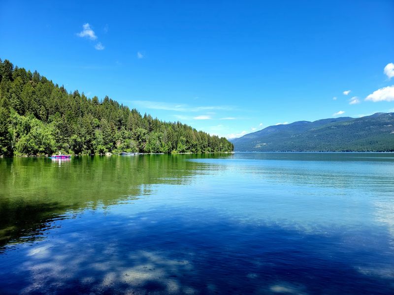
Few towns manage to pack a downtown, a ski resort, and a big lake into one tidy area. Whitefish does it with ease.
The town rests beside Whitefish Lake and beneath Big Mountain.
Whitefish Mountain Resort reaches 6,817 feet. Winter brings skiing, while warmer months bring hiking, mountain biking, and scenic lift rides with sweeping views.
Glacier National Park lies about 45 minutes away from the resort area. That makes Whitefish a smart home base for exploring one of the country’s grandest mountain regions.
Closer to town, Whitefish Lake State Park offers wooded shoreline, swimming, fishing, and boating. It is a lovely spot for a picnic when you want a break from big adventures.
The town has grown more popular over time, yet it still feels like the edge of the wilderness. Visitors often say the mix of water, forest, and Northern Rockies terrain is hard to beat.
Book early in peak seasons, and leave room for a slow evening stroll downtown.
Highlands, North Carolina
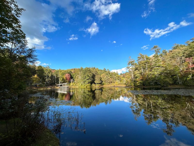
Walking behind a waterfall without getting soaked sounds like a magic trick. At Dry Falls near Highlands, a path really does pass behind the 75-foot cascade.
It is one of the region’s signature stops.
Highlands sits in the mountains of southwestern North Carolina, surrounded by the huge Nantahala National Forest. The forest covers more than 500,000 acres.
Its elevations run from about 1,200 to 5,800 feet, and it holds hardwood woods, deep gorges, streams, and waterfalls.
The town itself is polished and welcoming. Galleries and restaurants line the streets, and more than 200 hiking trails sit nearby.
Spring brings fresh greens and rushing water. Summer mornings often bring mist that hangs over the ridges.
Fall turns the hills into a patchwork of red and gold.
Plan to pair one easy waterfall stop with a longer hike. Wear shoes with good grip, because wet rocks can be slippery.
Then reward yourself with a slow dinner in town.
Grand Marais, Minnesota
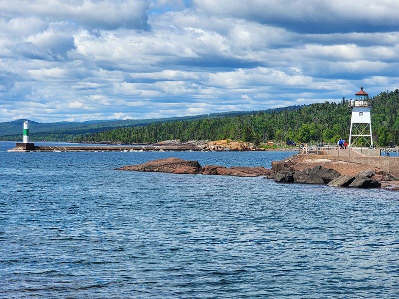
The drive up Highway 61 is half the fun. Rocky shoreline, waterfalls, cliffs, and thick northern forest roll past the window before the small harbor of Grand Marais appears.
This town sits where the Sawtooth Mountains and woods of northeastern Minnesota meet the huge blue sweep of Lake Superior. The water is so wide that it looks like an ocean.
Artists have made a home here. Galleries, restaurants, and craft studios give the town a lived-in, creative feel rather than a typical resort vibe.
Head inland and wilderness areas and mountain trails are close. Come back to the harbor and Lake Superior is right there again, always in view.
Few Midwestern towns blend open water and wooded highlands so naturally. Pack a sweater even in summer, because the lake breeze can be cool.
Sit by the harbor at sunset and listen to the waves slap the rocks.
Bayfield, Wisconsin
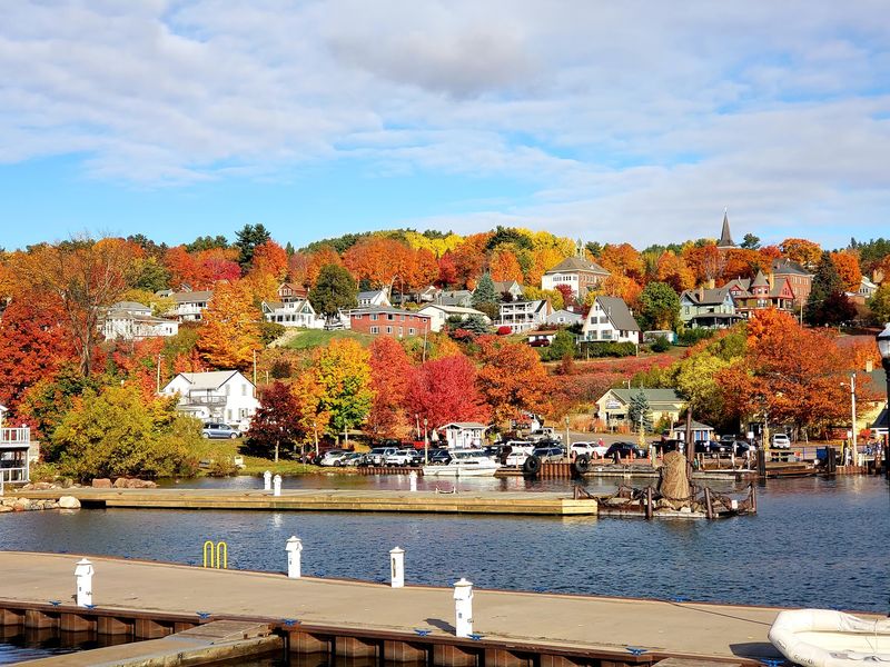
Sea caves in Wisconsin surprise a lot of people. Bayfield is the gateway to the Apostle Islands, where Lake Superior meets wooded islands, sandstone cliffs, beaches, and historic lighthouses.
The wider Apostle Islands landscape includes 22 islands. The national lakeshore protects 21 of them, plus a stretch of mainland shoreline.
From town, you can paddle into sea caves, sail between islands, or catch a ferry toward Madeline Island. On land, forested roads wind across the Bayfield Peninsula past orchards and woodland.
Fall is especially striking here, when the leaves glow and apples are ripe. Bayfield is small and easy to walk, so the harbor is never far.
Wherever you stand, from the docks to the hills, the vast lake feels close. If you are new to kayaking, book a guided trip.
Calm days make the caves magical, and local guides know when the water is friendly.
Blue Ridge, Georgia
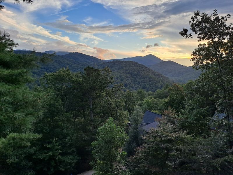
Clear, aquamarine water tucked between wooded hills is the signature look of Blue Ridge. Lake Blue Ridge covers about 3,290 acres, stretches around 11 miles, and has roughly 65 miles of shoreline.
Here is the best part. Most of that shoreline stays undeveloped, because large sections border Chattahoochee National Forest land.
It feels quiet and natural.
Downtown Blue Ridge has restaurants, shops, and cabins. The Blue Ridge Scenic Railway offers a relaxed ride through the countryside.
Nearby trails include sections of the Appalachian Trail and the Benton MacKaye Trail.
On the lake, people boat, swim, fish, and paddle. That makes the place more than a cozy cabin stop.
It works well as a lakeside escape too.
For a mellow day, rent a pontoon boat and drift near the forested shore. Bring snacks and sunscreen.
Then finish with a sunset view over the ridgelines.
Rangeley, Maine
Loons calling across the water might be the first thing you notice in Rangeley. The area holds six major lakes and hundreds of smaller ponds and streams, all scattered among the wooded peaks of western Maine.
Saddleback Mountain rises above Rangeley Lake. Rangeley Lake State Park protects 869 acres of lakeshore, forest, hiking trails, and camping.
The Appalachian Trail also crosses the wider region.
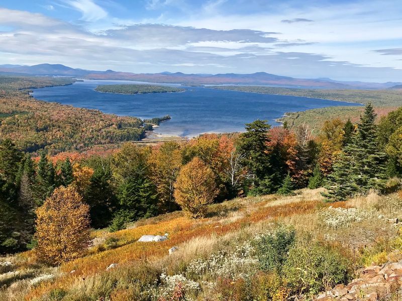
One drive stands out. On the Rangeley Lakes Scenic Byway, the Height of Land overlook shows Mooselookmeguntic Lake stretching beneath layers of forested ridges.
Yes, that is a real lake name, and yes, it is fun to say.
Wildlife is a big draw. Moose, trout, bald eagles, and loons all call this country home.
The town center feels welcoming and small, yet the surrounding wilderness runs deep. Bring binoculars and a fishing rod.
Stop at the overlook near sunrise for the softest light.
Stowe, Vermont
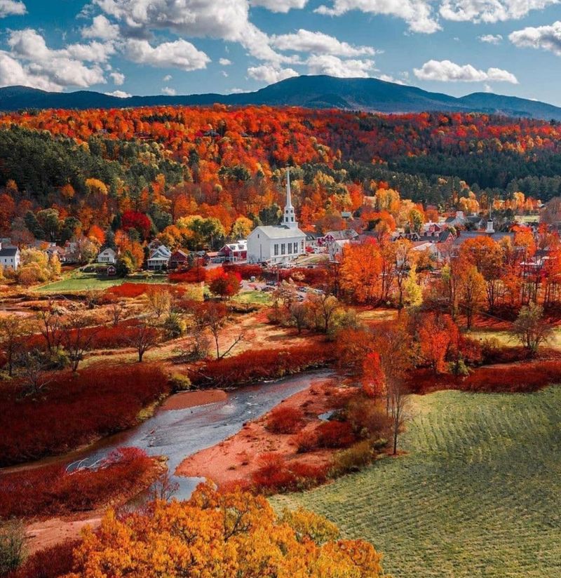
Mount Mansfield, Vermont’s highest peak at 4,393 feet, looms over Stowe like a friendly giant. The Green Mountains close in around the historic village, and the town feels part of the slopes.
Just nearby, Smugglers’ Notch offers a dramatic drive. Route 108 twists between cliffs that rise about 1,000 feet above the narrow pass.
Go slowly and enjoy it.
Forest trails, waterfalls, cycling routes, and the five-mile Stowe Recreation Path surround downtown. Preserved buildings and small businesses give the streets plenty of character.
Fall is a showstopper, when hardwood forests turn the valley into a classic New England foliage scene. Winter flips the script, and the same hills become a busy ski destination.
Rent a bike and ride the recreation path for an easy, scenic outing. Stop for a treat along the way.
Stowe works because it sits inside the mountains rather than just near them.
Leavenworth, Washington
Yes, the Bavarian buildings and pretzel stands are charming. But the mountains behind them deserve top billing.
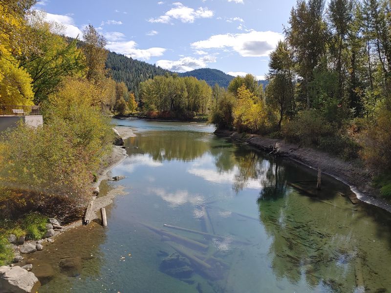
Leavenworth lies in the Cascades beside the Wenatchee River, at the edge of the huge Alpine Lakes Wilderness.
Local tourism leaders count about 615 miles of wilderness trails and more than 700 alpine lakes in the surrounding landscape. That is a lot of places to get happily lost.
Icicle Canyon starts almost right outside town. The road follows the river beneath granite walls and rugged peaks.
Hiking, climbing, rafting, skiing, and mountain biking turn Leavenworth into a four-season outdoor base. It is much more than a themed village.
Within minutes of the cafes and decorated storefronts, you can slip into high-country terrain. Try a morning hike, then enjoy a hearty lunch in town.
Visit in winter for twinkling lights and snow, or in summer for river fun.
Estes Park, Colorado
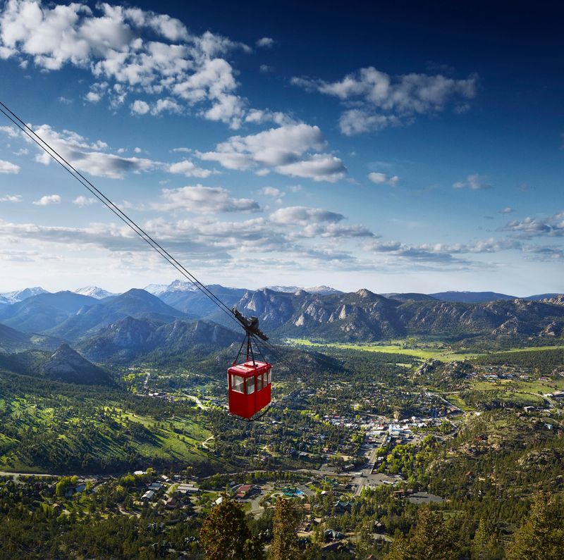
Elk strolling down the street might hold up traffic in Estes Park, and nobody minds. The town sits at the eastern entrance of Rocky Mountain National Park, a protected area of 415 square miles.
That space holds peaks, forests, alpine tundra, meadows, lakes, and wildlife habitat. It is a big, bold slice of the Rockies.
Inside the park, Trail Ridge Road climbs into high alpine terrain. Hundreds of miles of trails lead toward lakes, waterfalls, and mountain passes.
Back in town, you will find places to stay and eat without losing that surrounded-by-wilderness feeling. Few destinations make it so simple to go from a walkable mountain town to some of the Rockies’ highest landscapes.
Remember that the air is thin at high elevations. Drink lots of water and take it slow on your first day.
Keep a respectful distance from the elk, especially in autumn.
Big Bear Lake, California
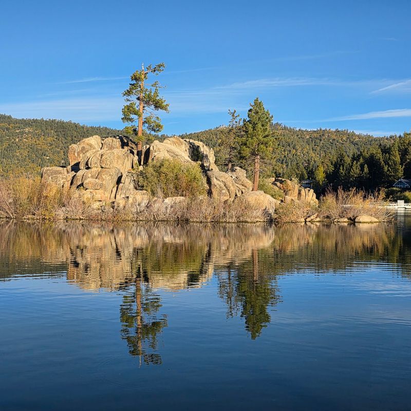
Only about two hours from Los Angeles, you can trade palm trees for pine trees. Big Bear Lake sits at roughly 6,759 feet in the San Bernardino Mountains, and it feels worlds away from the beaches.
The community circles a seven-mile-long lake surrounded by ponderosa pine forest. Summer is full of kayaking, boating, fishing, hiking, and biking.
Winter changes the mood. Bear Mountain and Snow Summit offer skiing and snowboarding, so Southern Californians can chase snow without a long flight.
Trails climb above the water for wide lake views. The Rim of the World Scenic Byway links the area with other mountain towns and gives drivers plenty of reasons to pull over.
Big Bear is a great example of how fast scenery can change with elevation. Pack layers, since mornings can be chilly even in summer.
A sunset walk by the shore is a fine way to end the day.
Eureka Springs, Arkansas
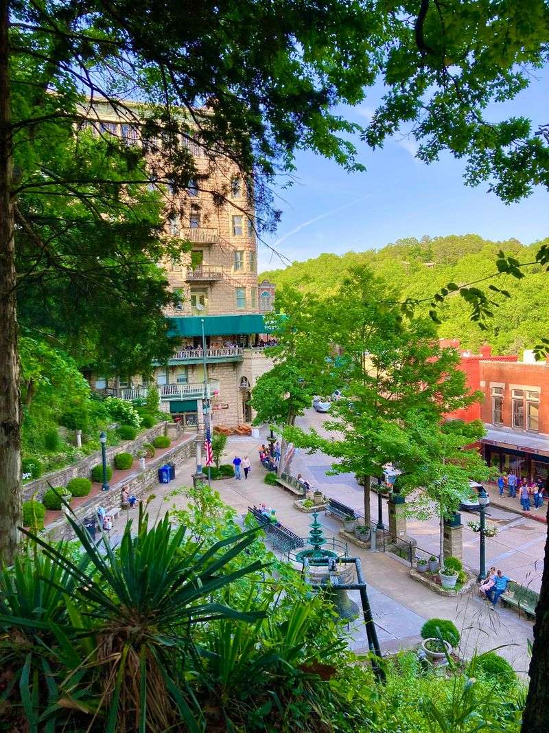
Streets that twist like ribbons and Victorian houses perched on hillsides make Eureka Springs feel like a storybook. This town skips the towering peaks and settles into the wooded ridges and valleys of the Ozark Mountains.
Limestone bluffs, springs, caves, rivers, and lakes shape northern Arkansas. Arkansas tourism describes the Ozarks as a land of soaring bluffs, wooded valleys, caverns, clear rivers, and rolling ridges.
The town’s steep streets curve around the terrain instead of following a grid. Historic buildings peek out between thick trees and rocky slopes, so every corner offers a new view.
Lakes and streams nearby invite paddling and fishing. Add galleries and one-of-a-kind historic character, and the lush setting gets even better.
Wear comfortable shoes, because the hills are no joke. Take your time wandering, and stop often to admire the stonework and the greenery.
Spring and fall are lovely for walking.
Share this story