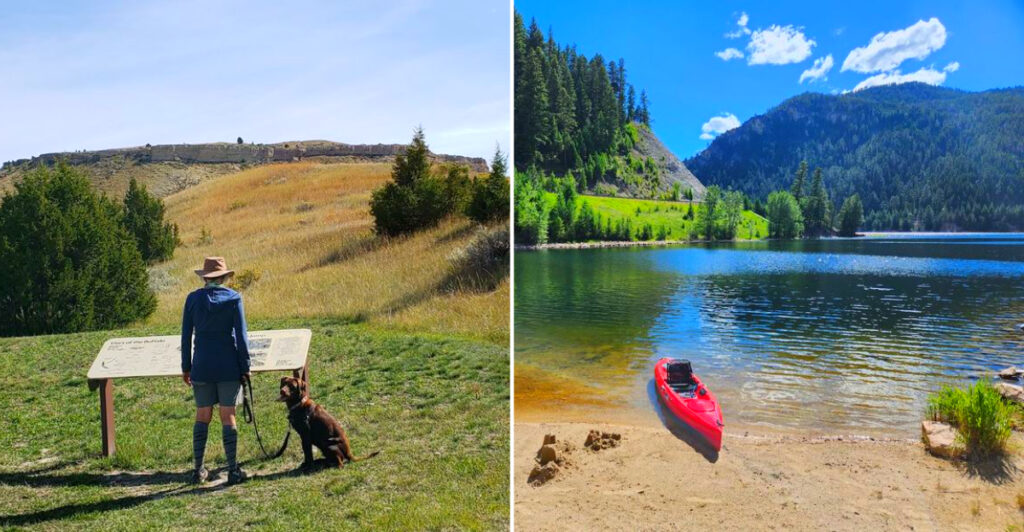
Montana is full of affordable day-trip destinations that combine breathtaking scenery, fascinating history, and unforgettable outdoor experiences. From ghost towns and fossil sites to mountain lakes, dramatic rock formations, and scenic overlooks, Big Sky Country offers plenty to explore without spending much.
Whether you’re planning a spontaneous afternoon adventure or a full day on the road, these 17 destinations are well worth the drive. Each proves that some of Montana’s most memorable experiences don’t come with a high price tag.
1. Giant Springs State Park, Great Falls, Montana
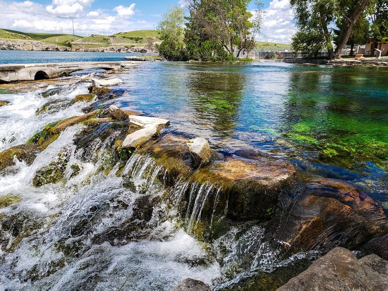
One of the largest freshwater springs in the entire country sits just outside Great Falls, pumping out roughly 156 million gallons of water every single day. Lewis and Clark discovered this natural wonder in 1805, and it has been drawing visitors ever since.
The park stretches across 4,500 acres with nearly 14 miles of Missouri River shoreline to explore. Paved and dirt trails suit everyone from casual walkers to committed cyclists.
A fish hatchery on the grounds raises about 1.3 million trout annually, and visitors are welcome to watch. It consistently ranks as Montana’s most visited state park, and the price of admission makes it easy to see why.
2. Makoshika State Park, Glendive, Montana
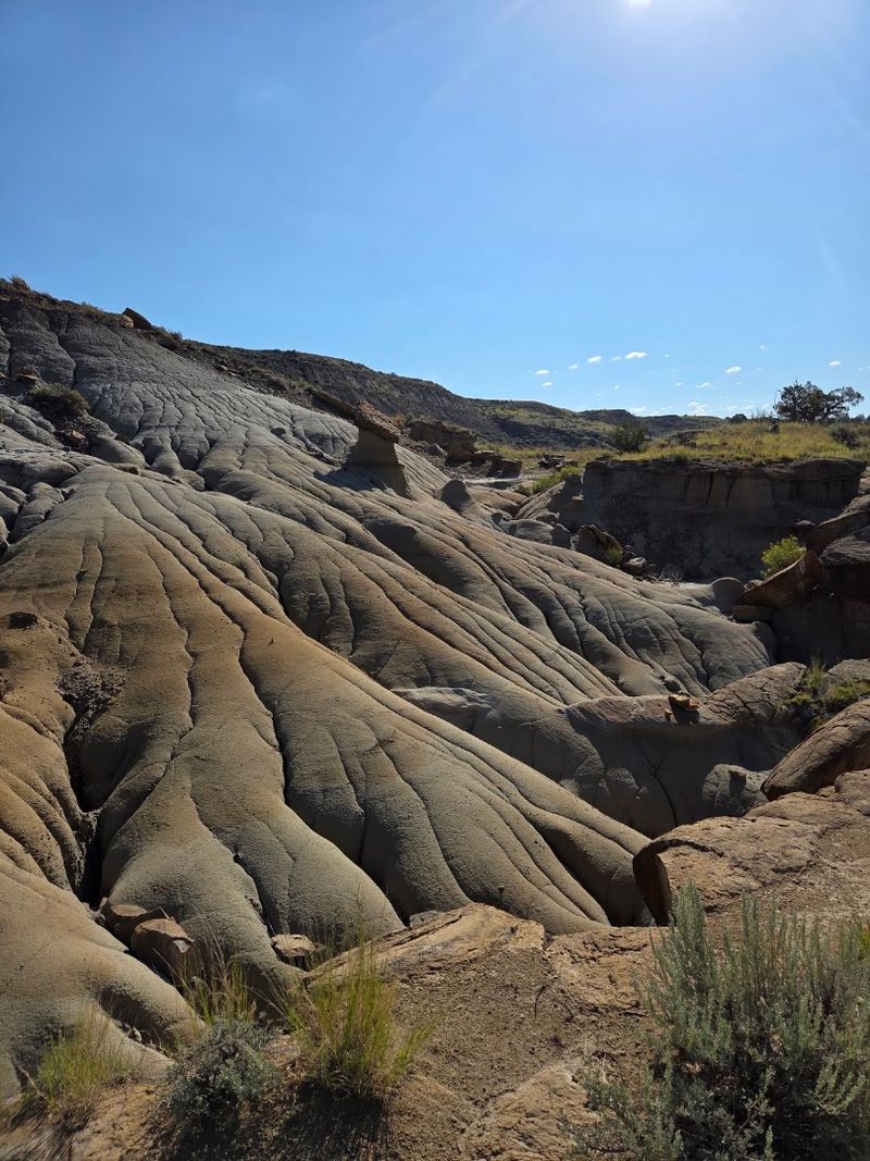
Montana’s largest state park at 11,538 acres looks nothing like what most people picture when they think of Big Sky Country. Makoshika, drawn from a Lakota phrase meaning “bad land,” delivers a rugged badlands landscape full of hoodoos, natural bridges, and capped rock formations shaped over millions of years.
The park sits within the late Cretaceous Hell Creek Formation, one of the most fossil-rich geological zones on the planet. A Triceratops skull and Tyrannosaurus rex remains have both been found here.
The visitor center displays several of these finds, and a disc golf course adds a quirky bonus. Scenic drives, hiking trails, and an outdoor amphitheater round out a genuinely full day.
3. First Peoples Buffalo Jump State Park, Ulm, Montana
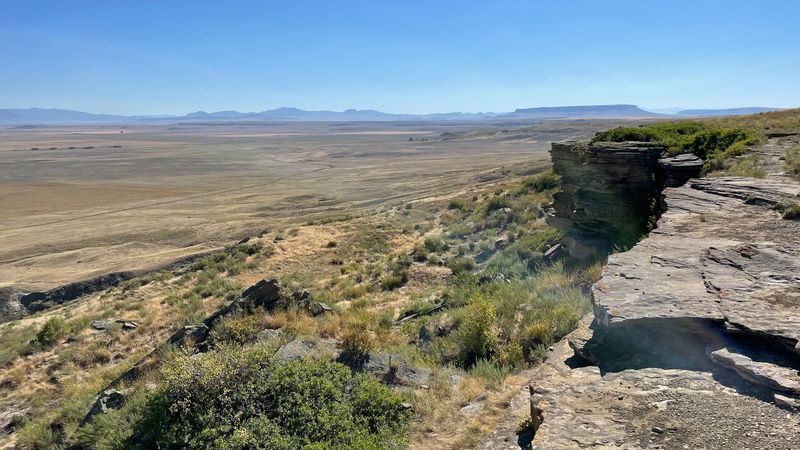
A mile-long sandstone cliff rising 30 to 50 feet above the plains may be the largest bison jump in all of North America, used continuously for at least a thousand years before European contact. Archaeologists have uncovered up to 18 feet of compacted bison remains at the base, which tells you something about the scale of activity that happened here.
The 1,481-acre park features an interpretive trail through native prairie leading straight to the top of the cliff. Views of the Missouri River Valley and the Rocky Mountain Front stretch out in every direction.
A 6,000-square-foot visitor center brings the story to life with exhibits, traditional tools, and a storytelling circle that makes the history feel immediate rather than distant.
4. Pictograph Cave State Park, Billings, Montana
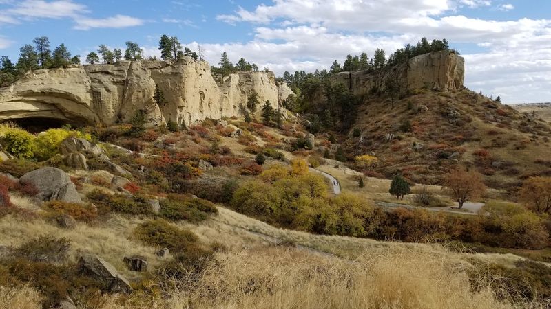
Ancient rock paintings covering more than 2,000 years of human history cover the walls of Pictograph Cave, a sandstone shelter carved into a cliff just outside Billings. Over 100 individual pictographs have been documented here, ranging from early black-and-white figures to later red images depicting horses and rifles.
The three-quarter-mile loop trail passes three separate caves and connects to interpretive displays that explain what excavators found during formal digs. More than 30,000 artifacts have been recovered at the site, including stone tools, Pacific Coast shell jewelry, and harpoon points from Arctic cultures.
Binoculars help when examining the paintings from the viewing area. The visitor center at the entrance provides context that turns a short hike into a genuinely layered archaeological experience.
5. Bannack State Park, Dillon, Montana
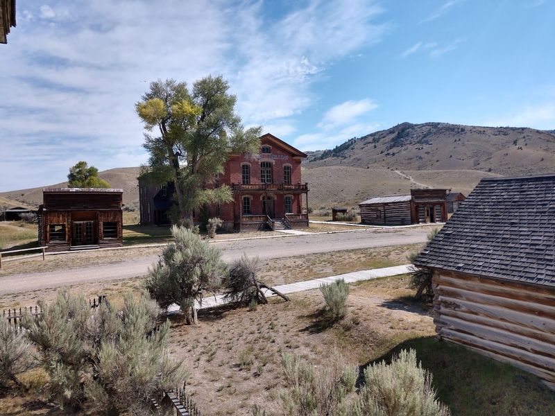
More than 50 original log and frame buildings still line the main street of Montana’s most intact ghost town, each one left largely as it stood during the gold rush era. Gold was discovered here on July 28, 1862, and the population swelled past 3,000 within a year, briefly making Bannack the territorial capital.
Visitors can wander freely through cabins, storefronts, and community buildings without ropes or barriers getting in the way. Guided tours run from the visitor center during summer months.
Every third weekend in July, Bannack Days brings re-enactors and historic demonstrations to the streets. In winter, the frozen dredge pond doubles as an ice skating rink, complete with loaner skates.
6. Medicine Rocks State Park, Ekalaka, Montana
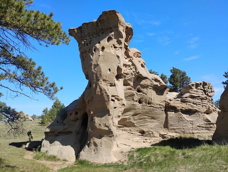
Theodore Roosevelt called it one of the most fantastically beautiful places he had ever seen, and that is not the kind of endorsement you ignore. Medicine Rocks features more than 100 sandstone pillars, some reaching 60 to 80 feet high, riddled with arches and cavities that earned the Lakota name meaning “Rock with a Hole in it.”
The formations date back 60 to 65 million years and contain fossils of ancient snakes and early primate-like mammals. Tribal nations including the Crow, Northern Cheyenne, and Sioux considered this a sacred site, and their petroglyphs and inscriptions are still visible today.
The park holds International Dark Sky Sanctuary status, which makes an evening visit especially worthwhile. Mule deer, antelope, and sharp-tailed grouse share the open trails with photographers and quiet explorers.
7. Missouri Headwaters State Park, Three Forks, Montana
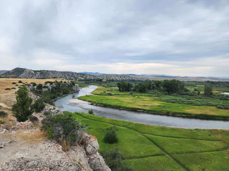
Three rivers walk into a bar and become one of the longest waterways in North America. The Jefferson, Madison, and Gallatin rivers converge at this 532-acre park, and Lewis and Clark personally named all three forks in 1805, honoring Jefferson, Madison, and Gallatin respectively.
Sacagawea recognized this landscape as being close to her Shoshone relatives, a moment that shifted the entire expedition’s momentum. Mountain man John Colter also made his legendary escape run near this very spot.
Today the park offers hiking trails to key historical viewpoints, river fishing for rainbow and brown trout, picnicking, and tipi rentals for those who want an overnight connection to the past. Interpretive displays make the history easy to follow at every turn.
8. Painted Rocks State Park, Darby, Montana
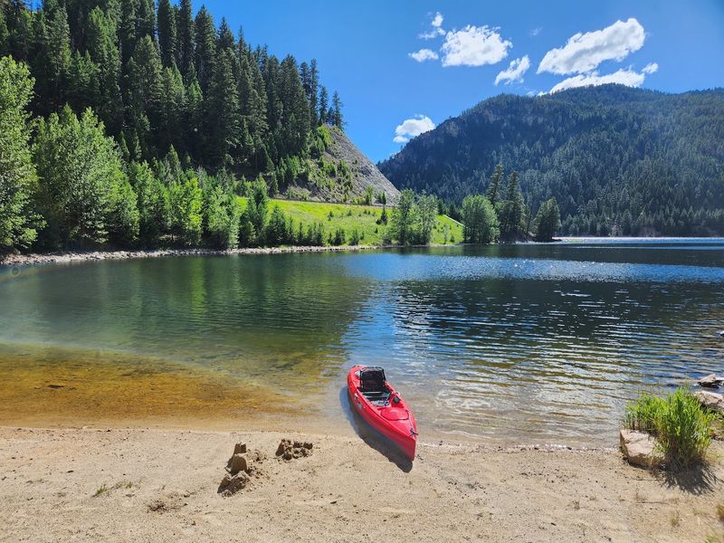
The cliffs surrounding this reservoir did not get their name from a can of spray paint. Thick colonies of green, yellow, and orange lichen streak the granite and rhyolite rock faces, creating a naturally vivid display that frames the water on all sides.
Built in 1939 for agricultural irrigation, the Painted Rocks Dam now backs up a lake that supports fishing for cutthroat, rainbow, brook, and bull trout. Water skiing, kayaking, and canoeing are all fair game when water levels are up.
The surrounding Bitterroot Mountains provide hiking and biking routes for anyone wanting more terrain after the lake. Elk, mule deer, black bear, bighorn sheep, and peregrine falcons all live in the area, giving wildlife watchers plenty of reason to look up from the water.
9. Chief Plenty Coups State Park, Pryor, Montana
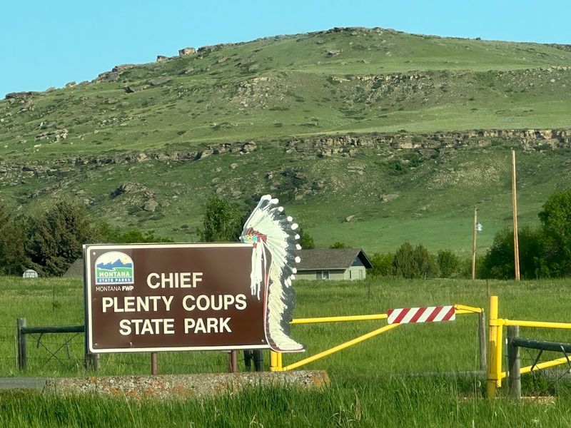
At age 28, Chief Plenty Coups became a chief of the Apsáalooke, or Crow Nation, and spent the rest of his life working to protect his people during one of the most turbulent periods in their history. In 1884, he became one of the first Apsáalooke to establish a farm on tribal land, building a home and general store on a 320-acre tract beside Pryor Creek.
When he passed in 1932, he left 195 acres of that land to the public as a park for all people to visit and learn from. The site is now a National Historic Landmark.
A three-quarter-mile trail follows the creek, and a visitor center covers his leadership, diplomacy, and the extraordinary gesture of placing his headdress on the Tomb of the Unknown Soldier in 1921.
10. Madison Buffalo Jump State Park, Three Forks, Montana
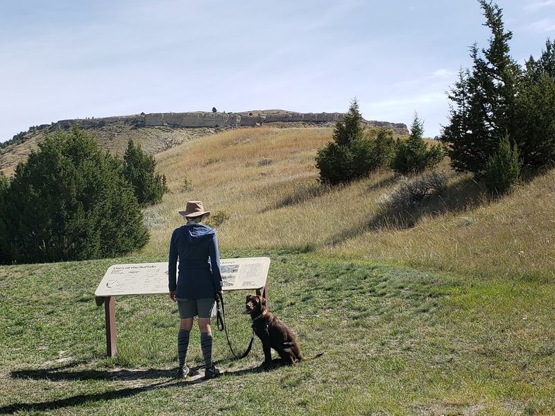
Long before horses and firearms changed everything, Native American hunters used a combination of disguise, strategy, and terrain to drive entire bison herds over a limestone cliff. Young men known as runners would dress in animal skins and lure herds toward the edge, where the herd’s momentum did the rest.
Archaeological digs at the base of this 638-acre park have revealed deep bone beds, tipi ring clusters, and scattered arrowheads that confirm the site was used for roughly 2,000 years. The hunting method ended only about two centuries ago.
A hike across open grassland leads to the top of the jump, where interpretive panels help visualize the activity below. The panoramic views across the Madison River Valley make the walk worthwhile on their own terms.
11. Lake Elmo State Park, Billings, Montana
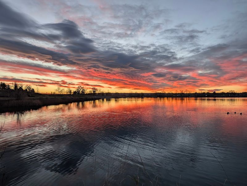
Originally constructed in 1906 as part of an irrigation project, Lake Elmo has since reinvented itself as one of Billings’ most popular outdoor recreation spots. The 64-acre reservoir sits inside a 123-acre park and offers three beach areas, a fishing pier, and calm water suited to kayaking, paddleboarding, canoeing, and windsurfing.
The lake is regularly stocked with trout, walleye, catfish, bass, and panfish, keeping anglers busy throughout the season. A 1.4-mile trail circles the water and connects to a small fenced dog park with dedicated water access on the west side.
Families appreciate the playground and group shelters, and an Action Trackchair, an all-terrain wheelchair available free of charge, makes the park genuinely accessible. It is a full afternoon without ever leaving city limits.
12. Tower Rock State Park, Cascade, Montana
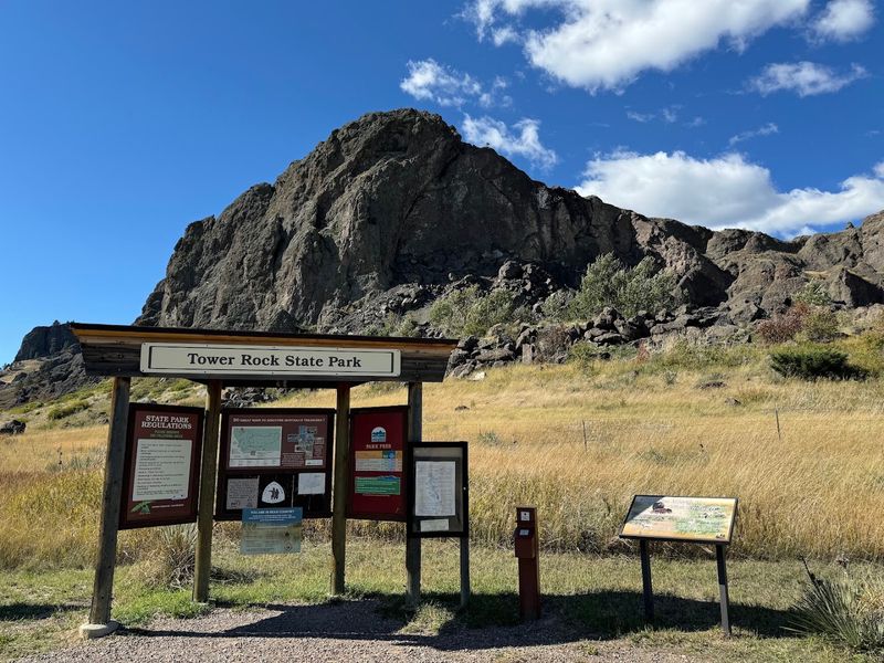
Rising roughly 400 feet straight out of the ground beside the Missouri River, Tower Rock has been orienting travelers for centuries. The Piegan Blackfeet considered it sacred, and Captain Meriwether Lewis named it during the 1805 expedition after noting it marked the Missouri River’s entrance into the mountains.
Lewis also recorded “immense herds of buffaloe in the plains below” from the surrounding area, a detail that underscores just how different this landscape looked two centuries ago. The park was added to the National Register of Historic Places in 2002.
A quarter-mile maintained trail leads to the base of the formation, and five interpretive panels along the trailhead cover both the geology and the history. The whole stop takes under an hour but leaves a lasting impression.
13. Rosebud Battlefield State Park, Busby, Montana
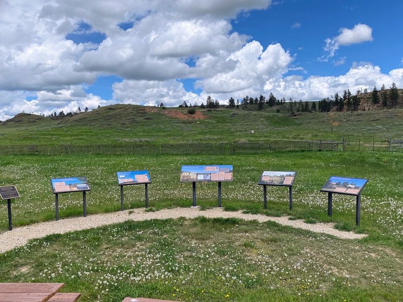
On June 17, 1876, roughly 1,000 U.S. troops under Brigadier General George Crook met an equal or greater force of Sioux and Northern Cheyenne warriors in a battle that lasted eight hours across these rolling hills. The Northern Cheyenne remember it as “Where the Girl Saved Her Brother,” honoring Buffalo Calf Road Woman, who rode into combat to rescue her sibling.
The battle ended without a clear winner, but Crook’s forces were forced to retreat. Their absence eight days later played a direct role in the outcome at the Battle of the Little Bighorn.
This 3,052-acre National Historic Landmark offers mowed walking routes to Crook’s Hill and the Kobold Buffalo Jump, where petroglyphs mark even older use of the terrain. Interpretive displays throughout the park provide clear historical context for every section of the battlefield.
14. Placid Lake State Park, Seeley Lake, Montana
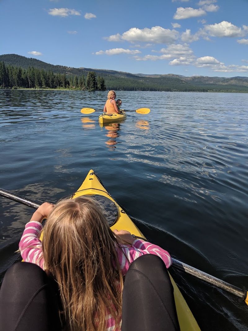
The name is not marketing. Placid Lake genuinely lives up to it, offering smooth, calm water at 4,134 feet elevation surrounded by a thick forest of western larch, fir, and pine. The lake sits near Seeley Lake on a tributary of the Clearwater River and stays clear enough throughout summer for swimming, paddleboarding, and kayaking.
Fishing here covers a wide range, with rainbow, cutthroat, brown, and bull trout, plus kokanee salmon, whitefish, and perch all present in the water. Interpretive panels near the massive larch stumps explain the area’s early logging history.
15. West Shore Unit of Flathead Lake State Park, Lakeside, Montana
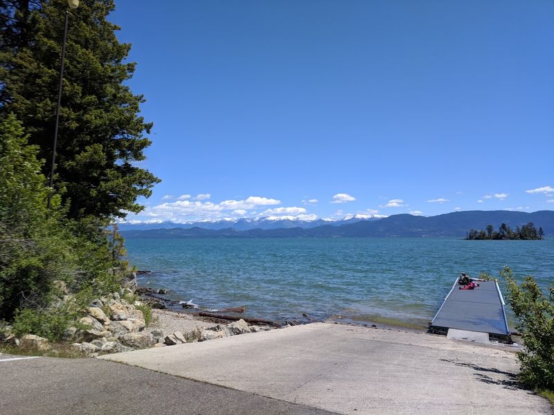
Flathead Lake is the largest natural freshwater lake in the western contiguous United States, and the West Shore Unit gives visitors one of the best vantage points to take that fact in. Rocky dolomite outcroppings along 129 forested acres frame views across the water toward the Mission and Swan mountain ranges.
About 2.5 miles of easy-to-moderate hiking trails wind through a mature forest of fir, pine, and larch, connecting picnic spots and photography perches along the rocky shoreline. A boat launch operates even in winter, when the deep water typically stays ice-free.
16. Cooney State Park, Roberts, Montana
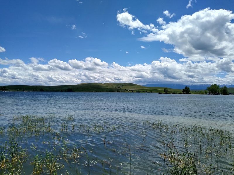
Less than an hour south of Billings, Cooney Reservoir has built a loyal following among boaters, anglers, and anyone who wants a breezy lakeside afternoon without a long commute. The 309-acre park sits at 4,252 feet elevation and keeps a busy schedule during summer, with water skiing, wakeboarding, and jet skiing all happening at once on the open water.
Walleye and rainbow trout are the headline catches here, with perch and black crappie rounding out the options. Montana Fish, Wildlife, and Parks stocks the reservoir regularly to keep the fishing productive.
Five campgrounds with 82 sites, including electrical hookups, make overnight stays easy.
17. Beaverhead Rock State Park, Twin Bridges, Montana
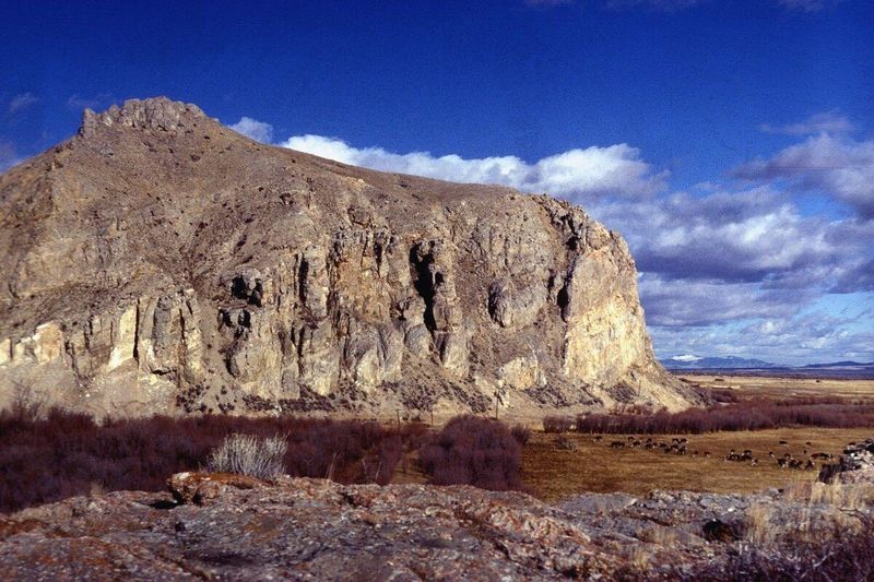
Few roadside landmarks can claim a direct role in one of the most famous expeditions in American history, but this one can. Sacagawea recognized this rock formation during the Lewis and Clark Expedition in 1805 because its profile resembled the head of a swimming beaver, a shape her Shoshone people used to identify the territory near their summer camp.
That recognition told the expedition they were close to finding the horses they desperately needed to cross the mountains. The moment shifted the entire course of the journey toward the Pacific.
The formation is viewed from a pull-off on Highway 41 rather than climbed, and informational signs at the site explain the historical context clearly.
Share this story