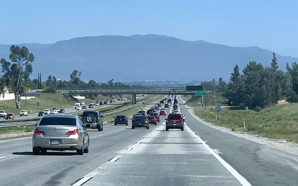
Some roads carry more than traffic. They carry commuters, vacationers, delivery trucks, and stories from every corner of the country.
A study by ValuePenguin looked at federal crash records from 2015 through 2019 and ranked the highways with the most fatal crashes. The list is full of names you probably know, from Interstate 5 in California to U.S.
Route 1 in Florida. Knowing where the risks are can help you plan smarter trips, pick better travel times, and check road conditions before you go.
Here is a road-by-road look at what makes each of these routes so busy, so long, and so important to watch.
Interstate 5, California
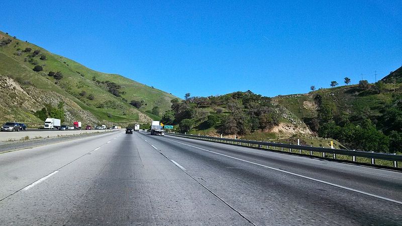
California’s great north-south artery runs almost 800 miles, starting at the Mexican border and passing San Diego, Los Angeles, the Central Valley, and Sacramento before heading toward Oregon. That much distance and traffic adds up fast.
ValuePenguin’s study counted 584 deaths in 544 fatal crashes from 2015 to 2019, the highest total of any state and road pairing it examined. San Diego County alone accounted for 110 of those deaths.
The study also found that 62% of fatal crashes happened in darkness.
I-5 is still one of the state’s busiest working highways, carrying commuters, tourists, and freight every single day. Caltrans confirms it is active, though advisories and construction can affect certain stretches.
If you plan a long drive on this road, check Caltrans updates before leaving. Try to plan your longest stretches for daylight hours, and give yourself extra room when trucks are near.
U.S. Route 1, Florida
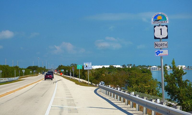
From Key West north along the Atlantic side of the state, U.S. 1 links places as different as the Florida Keys, Miami, the Space Coast, and Jacksonville. Few roads change personality so often.
During the study period, 570 people died in 534 fatal crashes, placing Florida’s U.S. 1 second on the national list. Brevard County had the largest share with 87 deaths.
Drivers face busy commercial strips, high-speed stretches, city intersections, and the famous Overseas Highway bridges in the Keys. Each setting asks for a different style of driving.
Florida still operates U.S. 1 as a major route. The state’s FL511 system gives live information on crashes, congestion, construction, and closures, so it is smart to peek at it before rolling out.
U.S. Route 101, California
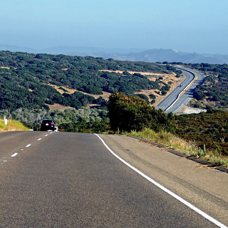
Legendary is a fair word for U.S. 101, yet it is also a hard-working transportation corridor. It connects Los Angeles with Santa Barbara, the Central Coast, the San Francisco Bay Area, and redwood country farther north.
From 2015 through 2019, the California section recorded 493 deaths in 437 fatal crashes. Santa Clara County had the highest county total with 78.
Nearly six in ten fatal crashes happened in darkness.
The highway remains open and heavily used. Caltrans reported normal travel across its southern and central sections in late September 2026, while parts of Northern California had temporary one-way traffic controls because of construction.
Scenic drives can tempt people to look around, but this road rewards focus. Save the sightseeing for pullouts and viewpoints.
Interstate 10, Texas
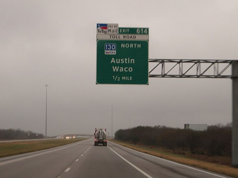
Few highways show the scale of American driving like I-10 across Texas. It starts at the New Mexico line, runs through El Paso, San Antonio, and Houston, and keeps going toward Louisiana.
Texas’ portion recorded 492 deaths in 457 fatal crashes in the study, one of the highest totals nationally. El Paso County had 59 deaths, the largest county concentration on the Texas stretch.
Long-distance freight, big-city congestion, nighttime driving, and high speeds all share this enormous corridor. That mix keeps drivers on their toes for hundreds of miles.
I-10 remains one of the state’s principal interstates. TxDOT’s DriveTexas service tracks current crashes, construction, flooding, damage, and closures statewide, which is especially handy on a road this long.
Interstate 95, Florida
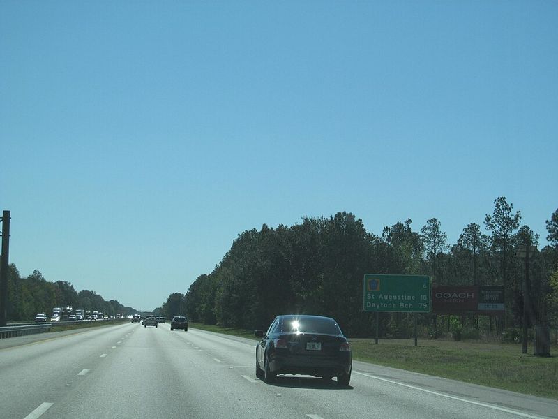
Picture Miami, Fort Lauderdale, West Palm Beach, the Space Coast, Daytona Beach, and Jacksonville strung together by one ribbon of asphalt. That is I-95 along Florida’s east coast, and it carries enormous traffic volumes.
ValuePenguin counted 463 deaths in 439 fatal crashes on the Florida section between 2015 and 2019. Palm Beach County recorded 77 deaths, the highest county figure along the route.
More recent reporting still points to this corridor as a crash concern because of high speeds, growing traffic, weather, and a blend of commuters, tourists, snowbirds, and commercial vehicles.
The interstate is active, though a crash can cause sudden temporary closures. FL511 offers real-time updates, including incident and lane-blocking information.
Interstate 35, Texas
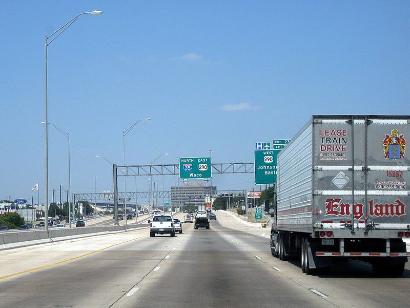
Ask anyone who drives I-35 through Austin how fast conditions can change. One minute traffic is moving at highway speed, and the next it is packed bumper to bumper.
The route cuts through some of the fastest-growing parts of Texas, including San Antonio, Austin, and the Dallas-Fort Worth region. From 2015 to 2019, the Texas portion saw 442 deaths across 410 fatal crashes.
Travis County, home to Austin, had the highest county total with 84. ValuePenguin also found that 68% of fatal crashes happened in dark conditions, one of the highest shares among roads in the study.
I-35 remains a major passenger and freight corridor. Extensive construction and modernization projects often affect portions of it, so build in extra time.
U.S. Route 41, Florida
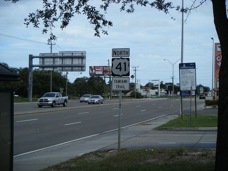
Calling U.S. 41 just an alternative to the interstates sells it short. It passes through Tampa, Fort Myers, Naples, and the Everglades region, carrying locals, tourists, pedestrians, cyclists, and long-distance drivers.
The Florida segment recorded 432 deaths in 413 fatal crashes between 2015 and 2019. Hillsborough County had the highest concentration with 80.
A newer commercial-vehicle collision analysis also identified intersections involving Highway 41 in South Florida among locations with high collision rates in its dataset.
The route remains in everyday use. Florida’s statewide traffic information service covers incidents and construction affecting U.S. highways such as US-41, which makes trip checks simple.
Interstate 20, Texas
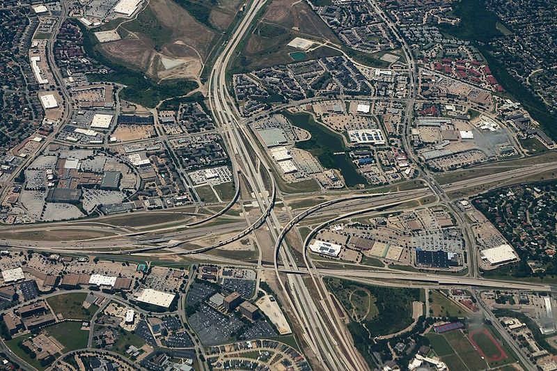
Long rural distances meet big-city congestion on Interstate 20, which crosses Texas from the western part of the state through the Dallas-Fort Worth area and on into Louisiana.
Add freight traffic and high speeds, and it is easy to see why the road ranked high in the analysis. From 2015 to 2019, 412 people died in 390 fatal crashes along the Texas section.
Tarrant County, which includes Fort Worth, had the largest county total with 39 deaths.
The route is a major east-west trucking corridor and remains a fully active part of the Interstate Highway System. Since weather, construction, and crashes can hit different regions of Texas at once, TxDOT keeps live statewide conditions on DriveTexas.
Interstate 75, Florida
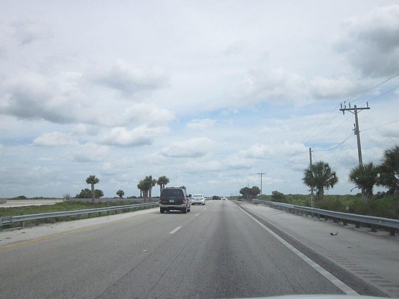
Alligator Alley is the nickname for the stretch where I-75 cuts across the Everglades toward South Florida. It is just one chapter of one of the state’s most important long-distance highways.
The interstate enters Florida near Georgia, passes through the Tampa area, and then heads south. The Florida section recorded 404 deaths in 354 fatal crashes in the 2015-2019 dataset, or about 114 deaths for every 100 fatal crashes.
Hillsborough County had the largest county total with 60.
Drivers meet dense city traffic and long wetland stretches where services and exits are farther apart. FL511 monitors the road for crashes, construction, congestion, and temporary closures, so fill the tank early and check conditions first.
U.S. Route 27, Florida
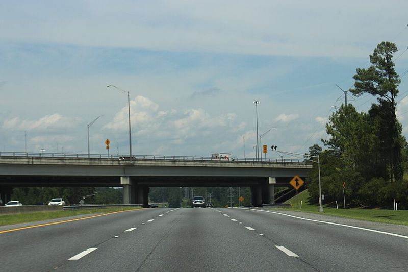
Here is a highway that skips both coasts. US-27 runs through the heart of Florida, crossing farmland, growing suburbs, and busy tourism areas around Central Florida.
The road recorded 358 deaths in 306 fatal crashes between 2015 and 2019, with Polk County accounting for 64. Its ratio of roughly 117 deaths for every 100 fatal crashes was notably higher than several roads with larger totals.
More recent 2023 data also listed US-27 in Polk County among county-road combinations with high fatality totals, at 23 that year.
The highway is still a major active route. Real-time conditions are available through the state’s official FL511 system, and checking it takes only a minute.
State Route 99, California
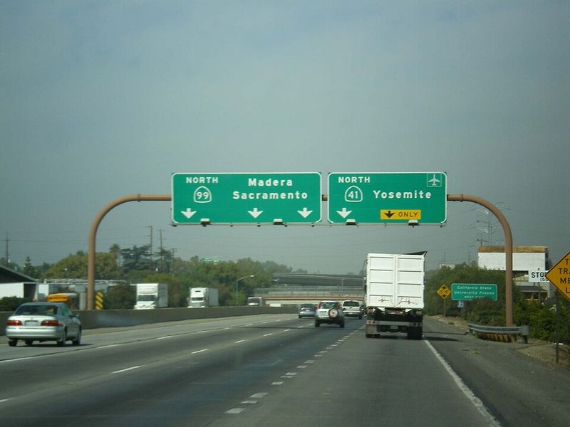
Farm country sets the scene on California State Route 99. The road runs through the Central Valley, linking Bakersfield, Fresno, Modesto, Stockton-area communities, and Sacramento.
Because the region is among the nation’s most productive agricultural areas, passenger cars regularly share lanes with plenty of trucks. ValuePenguin recorded 350 deaths in 304 fatal crashes from 2015 through 2019, with Kern County accounting for 54.
The study found that 63% of fatal crashes occurred in darkness, and 30% involved alcohol.
SR-99 remains an active Central Valley artery. Current Caltrans information confirms the road is operating, though sections can be affected by construction and wind advisories.
A quick check before heading out can save time.
U.S. Route 19, Florida
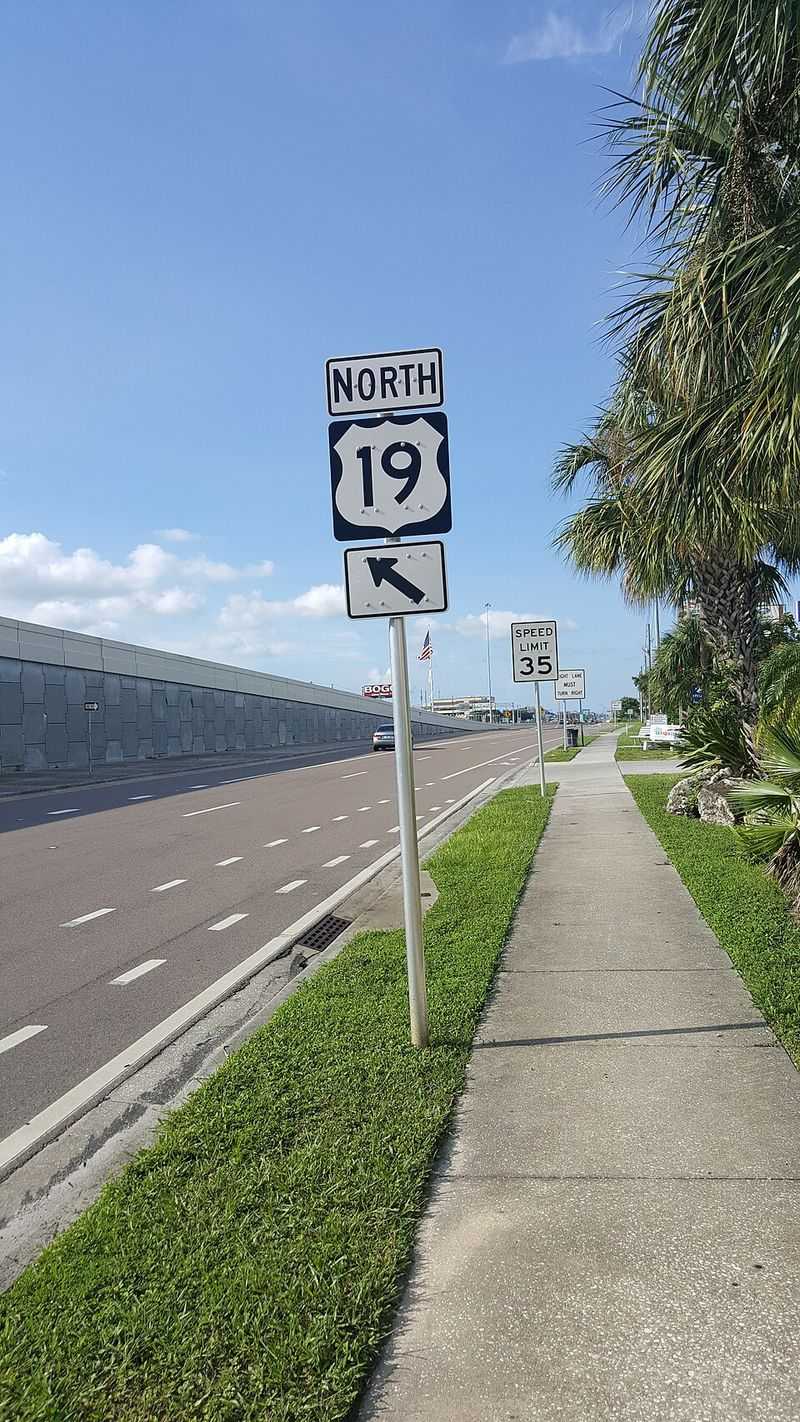
Stoplights, driveways, shopping plazas, and crosswalks define much of US-19 in the Tampa Bay region. Unlike a limited-access interstate, this road asks drivers to watch for turning traffic, pedestrians, and cyclists all the time.
The route runs along much of Florida’s Gulf side. Between 2015 and 2019, it recorded 319 deaths in 302 fatal crashes.
Pinellas County alone accounted for 122, the largest county figure for any road in the top 20 dataset. Sixty percent of its fatal crashes happened in darkness.
US-19 remains a normal, active corridor. Travelers should remember that urban stretches feel very different from the quieter rural portions farther north.
Interstate 15, California
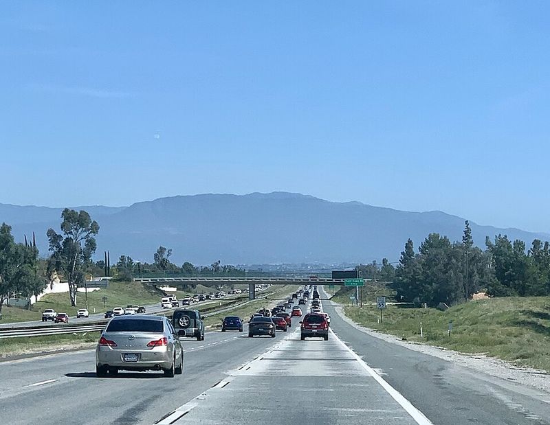
Weekend and holiday travelers know this one well. California’s I-15 carries people from San Diego through the Inland Empire and the Mojave Desert toward Las Vegas.
During the study period, the California section recorded 306 deaths in 273 fatal crashes. San Bernardino County alone accounted for 188, making it the most significant county on this corridor in the dataset.
Sixty-two percent of fatal crashes happened in darkness, and alcohol was present in 30%.
I-15 stays heavily traveled, though construction can temporarily close ramps or connectors. Caltrans reported an emergency-repair closure of an I-15/I-215 connector in September 2026, not a closure of the highway itself.
Interstate 40, Tennessee
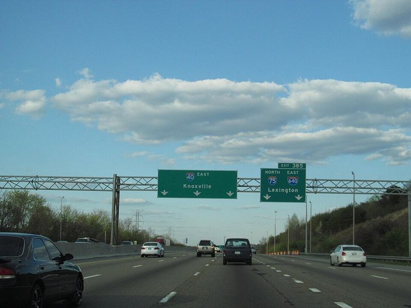
From the Mississippi River to the mountains near North Carolina, I-40 crosses the whole width of Tennessee. Memphis, Nashville, and Knoxville all sit along the way.
The Tennessee section recorded 273 deaths in 233 fatal crashes from 2015 to 2019. Shelby County, which includes Memphis, had the highest county total with 37.
The interstate combines busy city driving with long rural stretches and hilly terrain in the east. Long-distance trucks are a constant presence because I-40 is one of the country’s major east-west freight routes.
It remains a normal active interstate. Check current state transportation information before long trips, since crashes, roadwork, fog, and severe weather can change conditions quickly.
U.S. Route 98, Florida
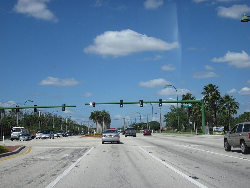
No single description fits US-98. It traces a long route across Florida, including parts of the Panhandle and Central Florida, and the driving environment keeps shifting.
Drivers pass coastal tourism zones, rural areas, commercial corridors, and busy intersections. ValuePenguin’s analysis found 267 deaths in 230 fatal crashes from 2015 through 2019.
Polk County had the highest county total with 47. About 57% of fatal crashes happened in darkness, and alcohol was detected in 24%.
The roadway remains active for both local and long-distance traffic. Like Florida’s other major U.S. routes, it can be checked through FL511 for crashes, lane closures, construction, and weather-related problems.
U.S. Route 17, Florida
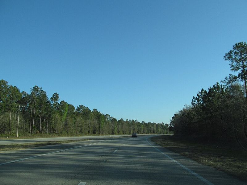
Palatka, DeLand, Winter Haven, and Jacksonville-area communities all sit along US-17. It winds through Florida from the northeast toward Central and Southwest Florida.
Rural highway sections mix with developed urban corridors, so driving conditions can change from one town to the next. The road recorded 263 deaths in 238 fatal crashes between 2015 and 2019.
Putnam County had the highest county total with 43. ValuePenguin found that 63% of fatal crashes happened in darkness.
The route remains open and actively used. FL511 recently reported lane-blocking construction on US-17 in Jacksonville while the broader highway stayed operational, a good reminder to check before you go.
Interstate 75, Georgia
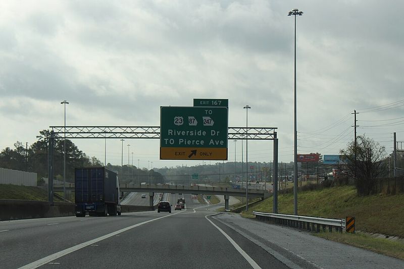
When people hear the word dangerous, they often picture twisting mountain roads. I-75 in Georgia tells a different story, one tied to volume and speed on a major interstate.
After leaving Florida, it continues north through Valdosta, Macon, metro Atlanta, and the northwest part of the state. The Georgia section recorded 255 deaths in 246 fatal crashes during the five-year period studied.
Henry County, south of Atlanta, had the largest county total with 35.
The corridor handles a huge mix of local commuters, interstate travelers, and commercial trucks, especially around Atlanta. It remains one of Georgia’s primary routes, though construction and city traffic routinely affect travel times.
Interstate 10, Arizona
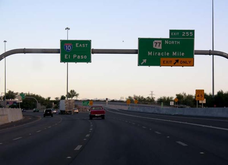
Desert heat adds a twist to driving on Arizona’s I-10. The highway links California with Phoenix and Tucson before continuing toward New Mexico.
Drivers get major urban freeways plus long desert stretches where summer heat becomes an added concern if a vehicle breaks down. From 2015 through 2019, 250 people died in 241 fatal crashes on this road.
Maricopa County, which contains Phoenix, recorded 106 deaths. More recent 2023 analysis named I-10 in Maricopa County as the county-roadway combination with the most fatalities in that dataset, with 42 that year.
The highway remains one of Arizona’s most important transportation corridors, with heavy commuter and freight traffic. Carrying extra water is a smart habit.
U.S. Route 441, Florida
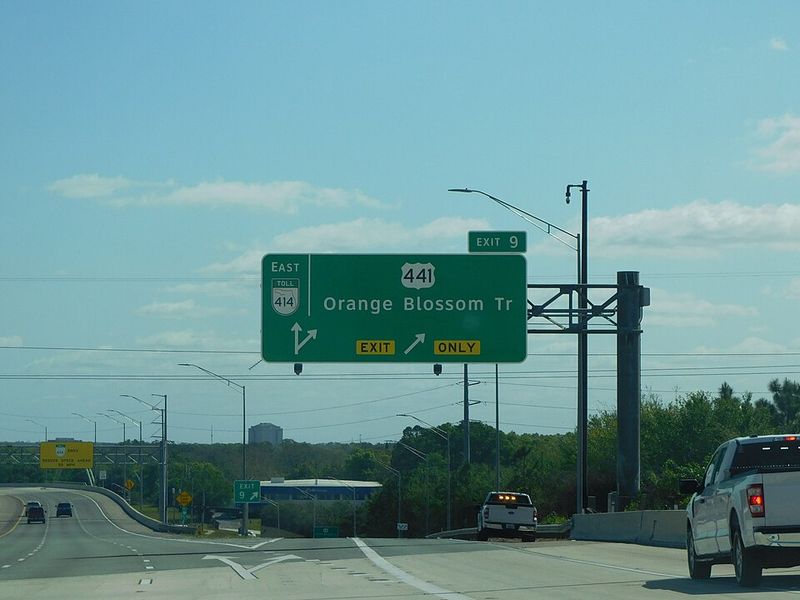
Down in South Florida, US-441 works more like a city street than an open country highway. Cars share space with intersections, businesses, pedestrians, and cyclists.
The route cuts through Florida from the Miami area north through Central Florida and toward Georgia. Between 2015 and 2019, 248 people died in 238 fatal crashes along Florida’s portion.
Broward County recorded the highest county total with 44. Sixty-one percent of the fatal crashes in the study happened in darkness.
US-441 remains an active corridor today. Drivers can use Florida’s official FL511 system to check conditions on major state and U.S. routes before traveling.
Interstate 65, Alabama
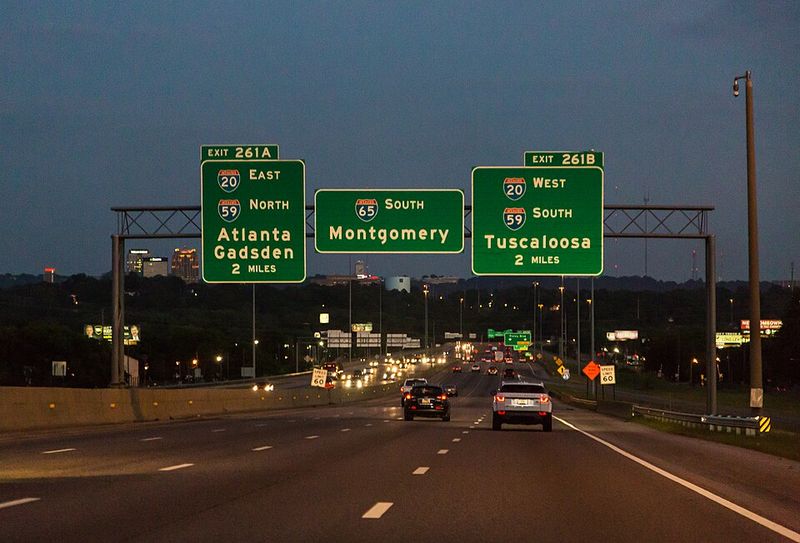
Gulf Coast vacation traffic meets daily commuters on Interstate 65, which runs the length of Alabama. It connects Mobile, Montgomery, Birmingham, and Huntsville before continuing toward Tennessee.
ValuePenguin recorded 241 deaths in 210 fatal crashes along the Alabama section from 2015 through 2019. Jefferson County, home to Birmingham, had the highest county total with 32.
The study calculated roughly 115 deaths for every 100 fatal crashes. Commercial vehicles also make up a substantial share of the traffic.
The highway remains one of Alabama’s principal north-south routes and is used year-round. Like any major interstate, sections may close or slow because of crashes, construction, storms, or emergency response.
Share this story