There is a trail in Illinois where you can pedal or hike alongside a canal that was once the economic backbone of an entire region. Old stone ruins peek through the trees, forgotten mill sites sit quietly along the water, and the whole route feels like a slow ride through a living history book.
The Illinois and Michigan Canal State Trail stretches for over 60 miles through the Illinois River Valley, connecting towns, forests, and historic landmarks that most people drive right past. Whether you are on a bike, on foot, or just curious about what this part of the Midwest looked like 150 years ago, this trail delivers a genuinely surprising and rewarding experience.
Where the Trail Begins: Morris and the Canal Corridor
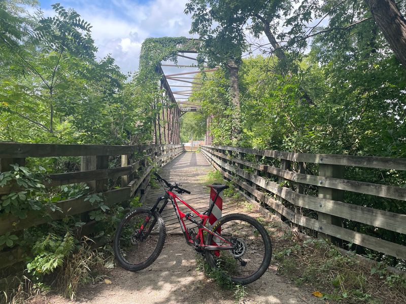
The official trailhead address for the Illinois and Michigan Canal State Trail is 401 Ottawa St, Morris, IL 60450, and it serves as a natural starting point for exploring this historic corridor. Morris sits in Grundy County in north-central Illinois, and the trail stretches west toward Ottawa and east toward Joliet along the old canal towpath.
The canal itself was completed in 1848 and connected the Great Lakes to the Illinois River, opening up trade routes that transformed Chicago into a commercial powerhouse. By the time railroads took over freight transport, the canal had already done its job and shaped the towns along its banks.
Today, the trail follows much of the original towpath, so you are literally walking or riding where mules once pulled heavy cargo boats through the water. The main trailhead near Gebhard Woods State Park in Morris is a convenient spot to park your car and get oriented before heading out.
The Illinois DNR manages the trail and can be reached at +1 815-942-0796 for current conditions and access updates.
The Old Canal Towpath and What It Feels Like to Ride It
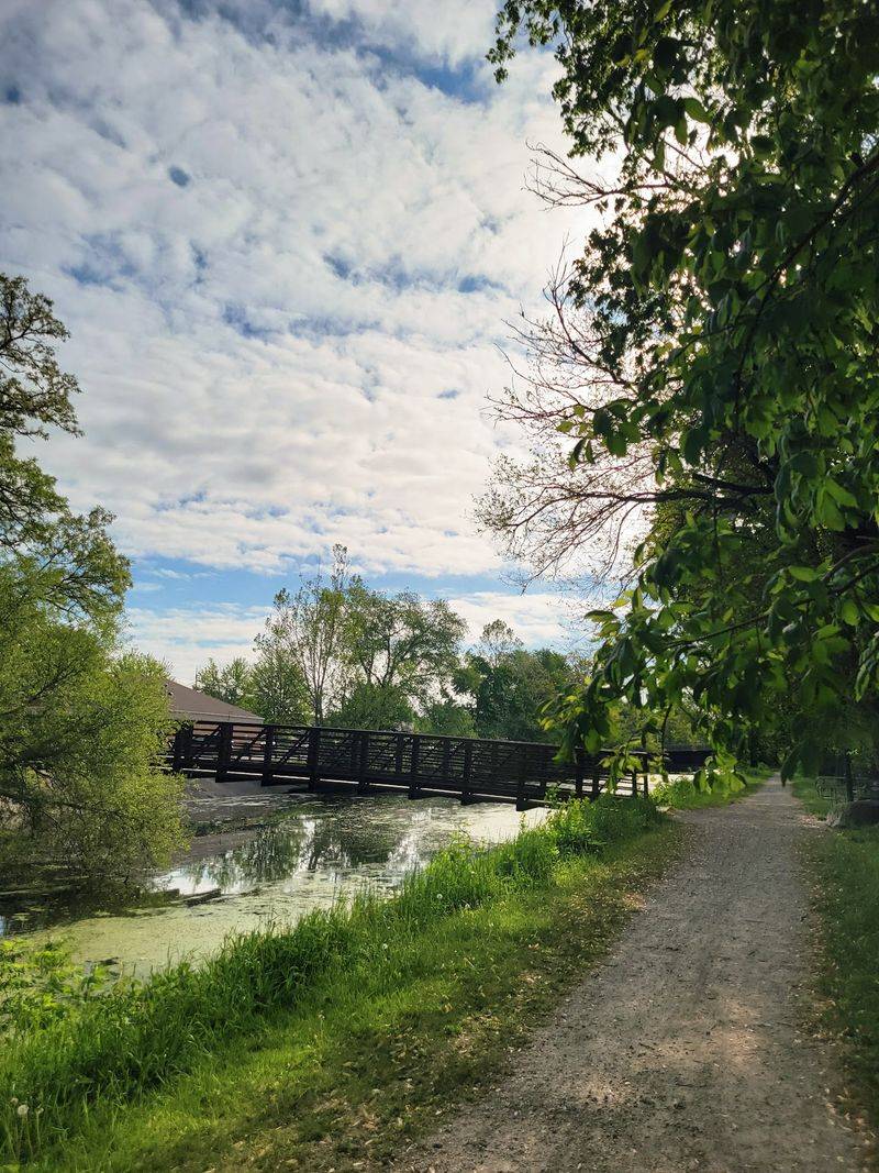
Riding the towpath is a different experience from riding a modern paved trail. The surface is mostly crushed limestone, which gives a firm but slightly textured feel under your tires, and it keeps things interesting without being punishing on a standard bike.
The trail runs relatively flat for most of its length, which makes it accessible for casual riders and families who are not looking for a serious workout. The flatness is a direct result of the canal’s engineering requirements, since boats need level water, and the towpath was built right alongside it.
In the sections between Morris and Seneca, the trail feels calm and almost meditative. Trees arch over the path, the canal water reflects the sky, and you can hear birdsong more often than traffic.
Some sections west of Morris toward Ottawa are rougher and less maintained, with trail surfaces that vary from packed gravel to bare dirt, so it is worth checking conditions with the DNR before planning a long ride in that direction.
The Restored Nettle Creek Aqueduct
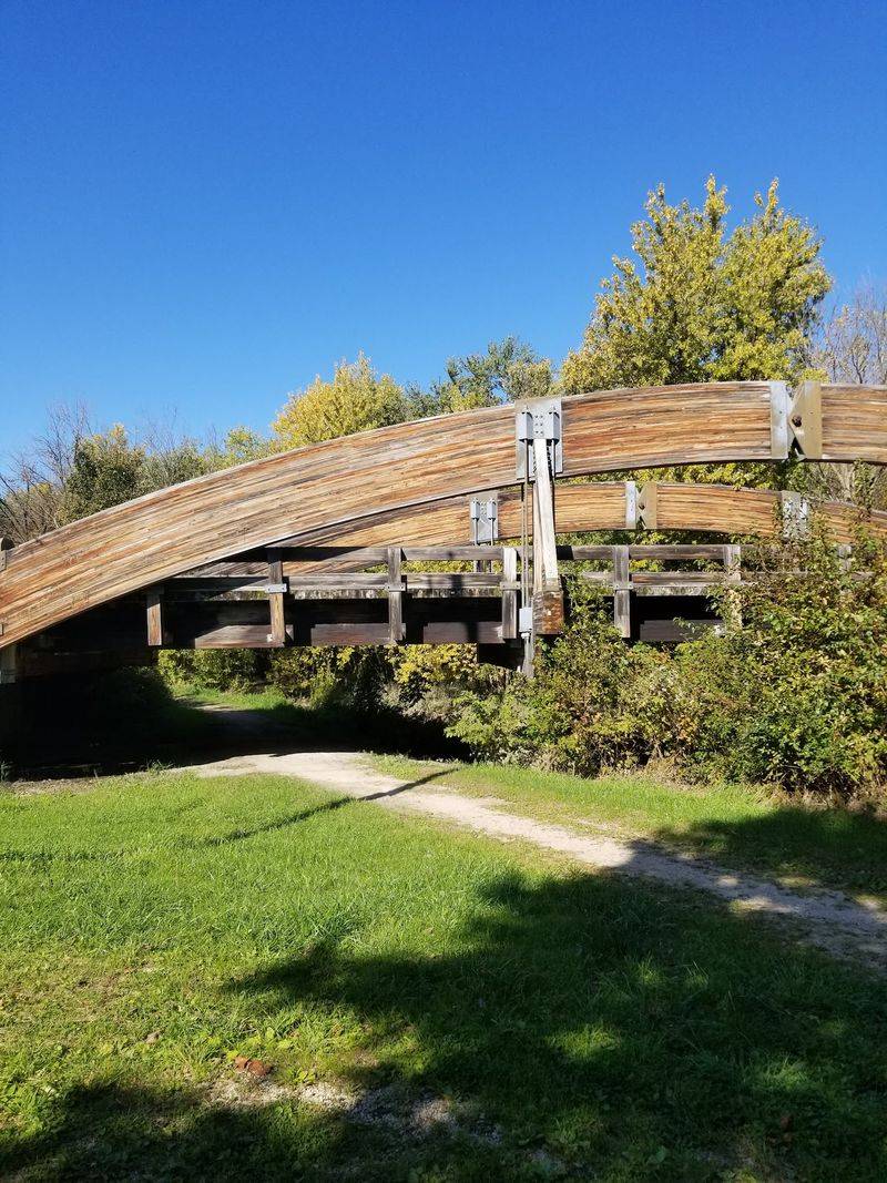
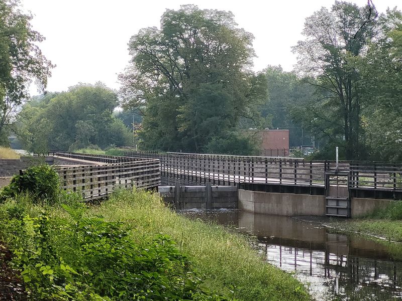
One of the most talked-about features along the trail is the Nettle Creek Aqueduct, located just 0.2 miles east of Gebhard Woods State Park in Morris. An aqueduct is a structure that carries a canal over a natural waterway, and this one carries the Illinois and Michigan Canal directly over Nettle Creek.
The original aqueduct dates back to the canal’s operational era in the 19th century, making it a genuine piece of industrial history. It fell into disrepair after the canal closed, and for years it was one of those features that trail users could only admire from the side.
A recent restoration project brought the aqueduct back into use, and riders can now cross directly over it on the trail. The engineering involved in the restoration was significant, and the finished result is both functional and visually impressive.
Seeing a canal carried over a creek on a raised stone and concrete structure is the kind of thing that stops you mid-ride to take a photo. Many regular trail users consider the reopened aqueduct one of the best recent improvements to the entire route.
Gebhard Woods State Park: A Natural Anchor Along the Route
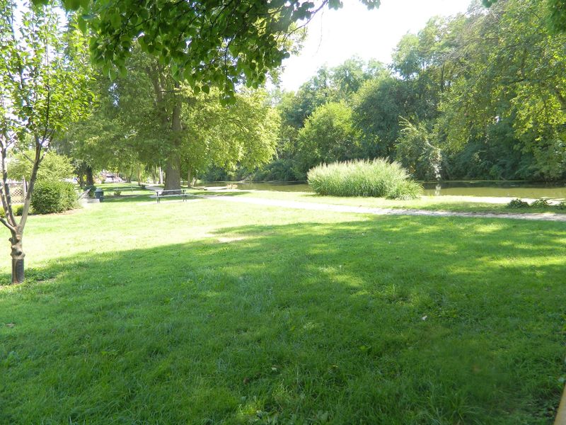
Gebhard Woods State Park sits right at the trailhead in Morris and serves as a pleasant base camp for anyone exploring the canal trail. The park has picnic shelters, open grassy areas, and access to the canal, making it a comfortable spot to rest before or after a ride.
The canal runs directly through the park, and in this section it tends to be dry or low on water. That is not a flaw so much as a reminder that this is a historic waterway, not a managed reservoir, and water levels depend on natural conditions and infrastructure upkeep.
The park also connects directly to the trail in both directions, so you can head east toward Seneca or west toward Ottawa without backtracking. Fishing is popular along the canal banks here, and the tree cover is dense enough to make the area feel cool and shaded even on warm days.
One thing worth noting is that the mosquito population can be significant in summer, especially near the water, so packing insect repellent is a genuinely useful piece of advice before you visit Gebhard Woods.
Historic Ruins and Forgotten Mills Along the Canal
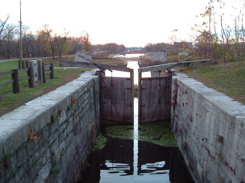
The Illinois and Michigan Canal was not just a transportation route. It was an industrial engine, and the evidence of that industry still shows up along the trail in the form of stone ruins, old lock structures, and mill remnants that have been slowly reclaimed by vegetation.
Lock stations were spaced along the canal to raise and lower boats between different water levels, and several of these lock structures are still visible today. The stone masonry is remarkably intact in some places, and standing next to one of these old locks gives you a concrete sense of how much labor went into building the canal by hand in the 1840s.
Old mill sites are a bit harder to identify without historical context, but interpretive signs at several points along the trail help explain what once stood in certain locations. The section near McKinley Woods and Channahon is widely considered the most scenic and historically rich part of the trail.
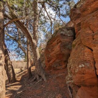
Ruins here are more visible, the canal holds more water, and the landscape feels less industrial and more like the forested river valley it has always been.
The Best Section: McKinley Woods to Channahon
Among the many stretches of the Illinois and Michigan Canal State Trail, the segment running from McKinley Woods to Channahon consistently earns the highest praise from regular users. The canal holds water in this section, the tree cover is thick, and the trail surface is in noticeably better condition than some of the western stretches.
Channahon itself is a small town where the DuPage River and Kankakee River both feed into the Illinois River, and the canal infrastructure here is some of the best preserved on the entire route. You can see original lock chambers, lock tender houses, and canal-related structures that have been maintained as part of the Channahon State Park area.
The atmosphere in this section feels genuinely removed from modern life. The trail winds through dense woodland, and the combination of still canal water, old stone structures, and quiet forest makes it easy to understand why this stretch is recommended as the starting point for first-time visitors to the trail.
If you only have time for one section, this is the one that will make you want to come back for the rest.
William G. Stratton State Park and the Eastern Stretch
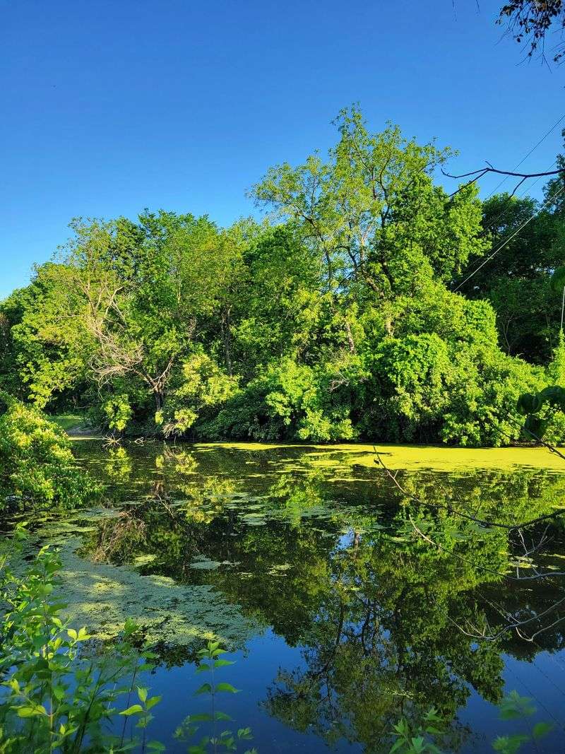
Head east from Morris along the canal trail and you will pass through the William G. Stratton State Park, which sits just outside of town and offers a different mood from Gebhard Woods.
The canal tends to hold more water in this direction, which changes the visual character of the trail considerably.
With water in the canal, the towpath takes on a more authentic historical feel. You can actually picture what it looked like when boats moved through here, pulled by mules walking the very path you are now riding or hiking.
The reflections in the canal water, the overhanging trees, and the relative quiet make this one of the more photogenic sections near Morris.
The eastern stretch toward Joliet covers some of the most historically layered terrain on the route, passing through communities that grew up around the canal economy in the 19th century. The trail surface and conditions vary, so a hybrid or gravel bike handles the terrain better than a road bike in some spots.
Fishing along this stretch is also quite popular, with catfish and bass common in the slower-moving canal sections near the park.
Trail Conditions, Surface Types, and What to Expect
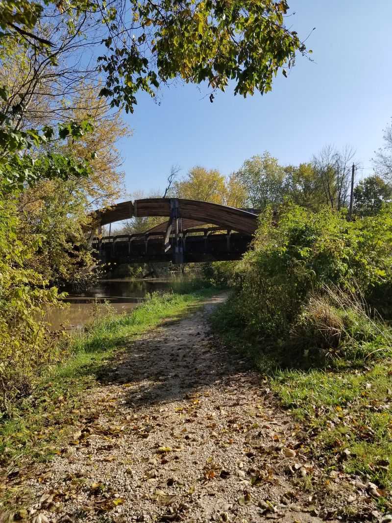
Honesty matters when planning a long trail ride, and the Illinois and Michigan Canal State Trail is a route that rewards preparation. The trail is described in many places as a crushed limestone path, and that is accurate for several sections, but the surface quality changes significantly depending on where you are and how recently that section has been maintained.
Between Marseilles and Seneca, the trail gets rougher, and riders are sometimes diverted onto gravel roads shared with farm traffic. Grain trucks use some of these roads, and the dust can be significant in dry weather.
West of Morris toward Ottawa, sections of the trail have been disrupted by construction in recent years, and signage for detours has not always been reliable.
A gravel or hybrid bike is the most practical choice for riding the full length of the trail. Road bikes can manage the better-maintained sections, but they will struggle in the rougher stretches.
The DNR website at dnr.illinois.gov/parks/park.imcanal.html posts updates on closures and construction, and it is worth checking before a long trip. Calling ahead at +1 815-942-0796 can also save you from arriving at a closed section with no detour plan.
Wildlife, Scenery, and What You Notice When You Slow Down
One of the quieter rewards of this trail is the wildlife that shows up when you are moving slowly and paying attention. Great blue herons are a common sight along the canal, standing motionless in the shallows before lifting off with that slow, prehistoric wingbeat.
Turtles line up on logs in the warmer months, and red-winged blackbirds call from the reeds along the water’s edge.
The tree canopy along much of the trail creates a shaded corridor that stays relatively cool even in summer. In late autumn, after the leaves drop, the views open up considerably, and you can see the river and canal from angles that are hidden during the green season.
Some regular trail users actually prefer the off-season for this reason.
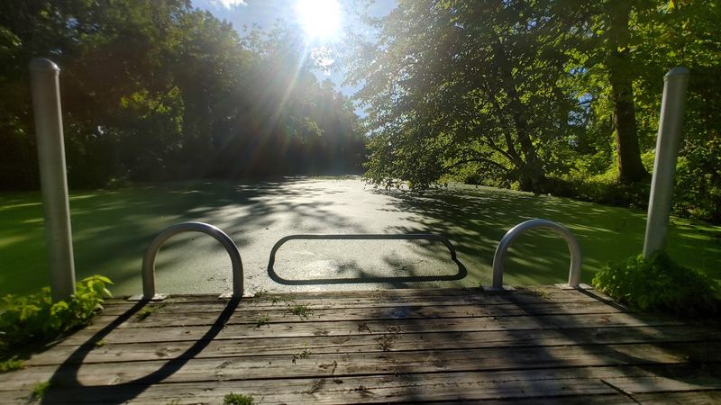
Wildflowers appear along the trail margins in spring, and the canal itself supports a variety of aquatic vegetation in sections where the water is present. The overall ecological diversity of the corridor is a direct result of the protected status of the land surrounding the trail, which has allowed natural vegetation to recover in areas that were once heavily used for industry and agriculture.
Planning Your Visit: Tips for Getting the Most Out of the Trail
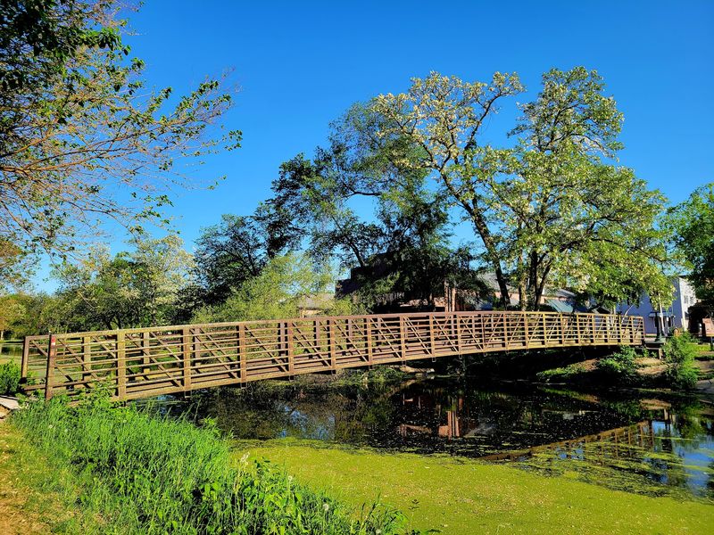
A little planning goes a long way on a trail that covers over 60 miles across multiple counties. The trail is open year-round, but spring and fall tend to offer the best combination of comfortable temperatures and scenic interest.
Summer works well too, though insect repellent is a non-negotiable item to pack near the water sections.
Parking is available at Gebhard Woods State Park in Morris, as well as at several other access points along the route including Channahon, Seneca, Marseilles, Ottawa, and LaSalle. The trail does not have a single entrance fee, though some of the state parks along the route may have their own fee structures for camping or facilities.
Water and restrooms are available at the state parks along the trail but are not consistently available at every access point, so carrying your own water is smart for longer rides. The trail connects several communities, making point-to-point rides possible if you can arrange a shuttle.
For the most up-to-date information on trail access, closures, and conditions, the Illinois DNR website and phone line are the most reliable sources before you head out.
Share this story