Some of the world’s most populated cities are built on ground that is slowly sinking while the ocean around them keeps rising. That combination creates a very real challenge for millions of people who live, work, and go to school in these places every day.
From Southeast Asia to South America to Europe, city leaders are spending billions of dollars trying to hold back water, reinforce coastlines, and rethink how their cities are built. This list looks at 15 cities where that fight is already underway, what makes each one vulnerable, and what is being done to keep these places standing strong for future generations.
Jakarta, Indonesia
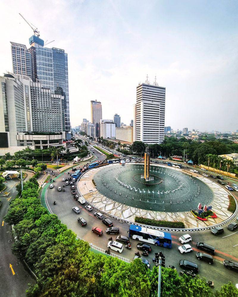
Jakarta holds a reputation that no city wants: it is widely considered the fastest-sinking major city on the planet. Decades of uncontrolled groundwater extraction pulled water from underground aquifers, causing the land above to compress and drop.
Some northern neighborhoods have sunk several meters over the past few decades.
The World Bank has documented serious and ongoing subsidence rates across Jakarta, warning that sinking land creates dangerous flood exposure even without adding future sea-level rise to the picture. Low-lying northern districts already sit below sea level and regularly experience severe flooding during heavy rain seasons.
Indonesia responded by announcing the development of a brand-new capital city called Nusantara on the island of Borneo. Jakarta itself is not going away, but protecting its most vulnerable communities requires massive investment in flood barriers, drainage systems, and stricter groundwater management rules that the city is still working to enforce.
Bangkok, Thailand
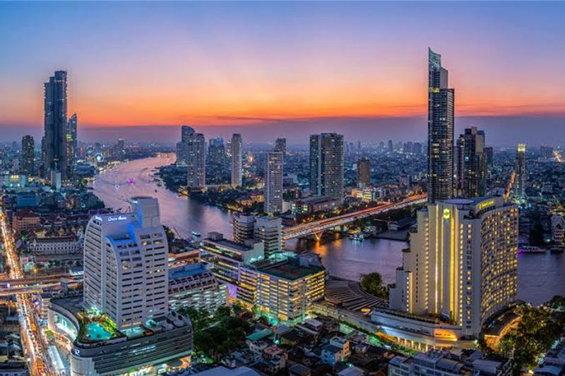
Bangkok was built on soft river delta soil, and that foundation has been slowly settling under the weight of one of Southeast Asia’s largest cities for generations. Land subsidence combined with rising seas is not a distant forecast for Bangkok.
It is already reshaping how the city plans its future.
A World Bank assessment found that subsidence could significantly increase future flood damages across the Thai capital. Separate climate research estimated that a combination of rising seas and extreme rainfall could expose a meaningful portion of Bangkok to serious inundation during the 2030s without strong adaptation measures in place.
Bangkok is not disappearing, but keeping its drainage systems, pumping stations, canals, and flood defenses functioning under increasingly difficult conditions is a massive engineering and financial challenge. The city is also one of the most visited tourist destinations in the world, which raises the stakes for getting climate adaptation right.
Ho Chi Minh City, Vietnam
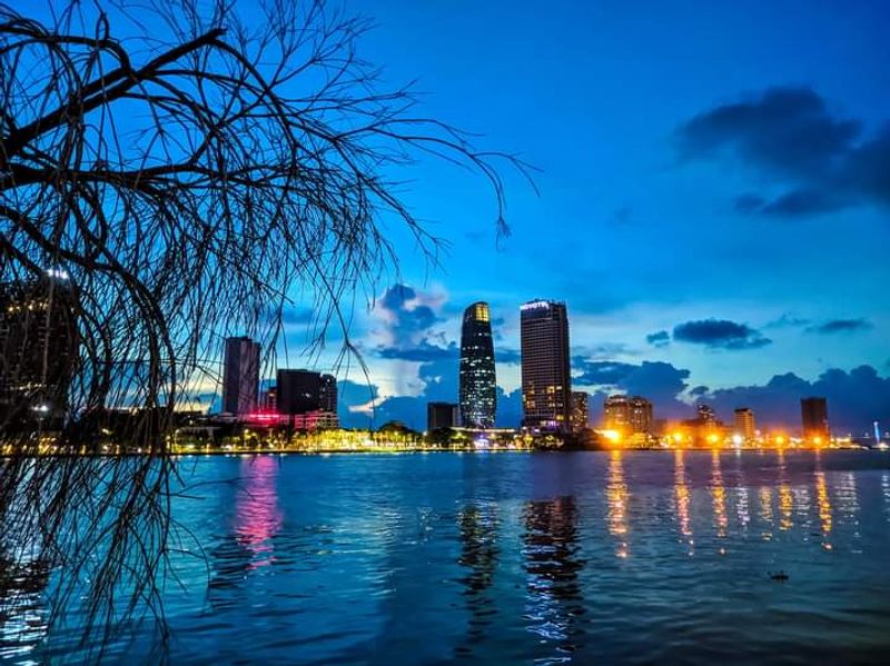
Around 60 percent of Ho Chi Minh City sits on low-lying terrain shaped by tides, rivers, and seasonal monsoon rainfall. That geography alone would make flooding a constant concern, but land subsidence has added another layer of difficulty.
The ground beneath parts of the city has been dropping steadily as development expanded rapidly across former wetlands and flood-prone areas.
World Bank research describes Ho Chi Minh City as facing significant and growing flood risk, with rising sea levels and sinking land reinforcing each other in ways that make the problem harder and more expensive to solve. Massive investments in dikes, drainage networks, tidal gates, and canal systems have already been made.
The challenge for the 2030s is not whether the city will exist but whether it can manage chronic flooding without disrupting daily life for its roughly nine million residents. Each infrastructure project buys time while longer-term climate solutions are pursued at the national level.
Manila, Philippines
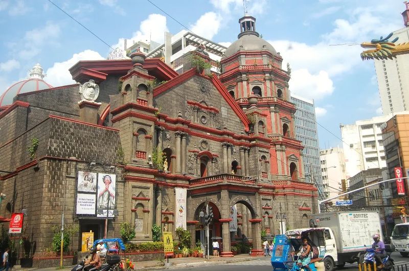
Tropical Storm Ketsana hit Metro Manila in 2009 and left enormous sections of the city submerged, showing the world just how exposed this densely packed metropolis really is. The Philippines sits in one of the most typhoon-active regions on Earth, and Manila Bay’s position makes the capital especially vulnerable to storm surge on top of ordinary flooding.
Future sea-level rise will raise the baseline water level that storm surges build upon, meaning the same category of storm could push water further inland than it did a decade ago. Continued urbanization in low-lying areas also places more buildings, roads, and people in zones that were historically considered too risky to develop heavily.
Manila will still be a fully functioning city in 2030 and well beyond. The priority right now is strengthening drainage infrastructure, coastal protection systems, and disaster preparedness plans that can handle storms growing stronger as ocean temperatures rise.
Lagos, Nigeria
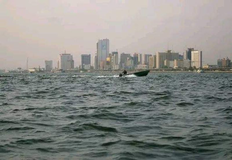
Lagos averages only about 1.5 meters above sea level across much of its urban footprint, according to a United Nations technical assessment. That is a startlingly thin margin when you consider that storm surges, heavy rainfall, and rising seas can easily exceed that height during extreme events.
Subsidence measurements across Lagos have revealed dramatically different sinking rates by neighborhood, with some coastal areas and developments built on reclaimed or filled land experiencing particularly serious ground-level drops. When those factors combine during a major flood event, the consequences for low-lying communities can be severe.
Lagos is Africa’s largest city and one of its most economically important, which means the stakes of getting climate adaptation right are enormous. Maps of projected coastal flooding already identify vulnerable portions of the city during the 2030 period.
Protecting those neighborhoods will require long-term investment in drainage, coastal engineering, and smarter land-use decisions as the city continues to grow rapidly.
Alexandria, Egypt
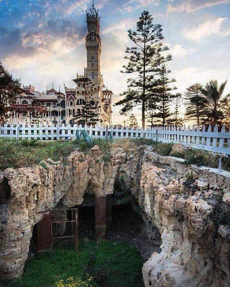
Alexandria has been a Mediterranean city for more than two thousand years, but the sea it sits beside is behaving differently now than it did for most of that history. A World Bank assessment found that coastal erosion and marine inundation risks are expected to increase meaningfully as sea levels rise along Egypt’s northern coast.
Low-lying districts around Abu Qir are considered especially vulnerable to flooding and coastal change. Natural sandy beaches could retreat substantially as wave energy and higher water levels eat away at the shoreline.
Saltwater intrusion into freshwater sources adds yet another pressure on a city that already faces water scarcity challenges.
Alexandria is not forecast to vanish by 2030, but sections of its coastline may require increasingly intensive engineering work to stay protected. The city’s historic identity is deeply tied to the sea, which makes the irony of that same sea becoming its greatest long-term threat particularly sharp and worth watching closely.
Miami, Florida
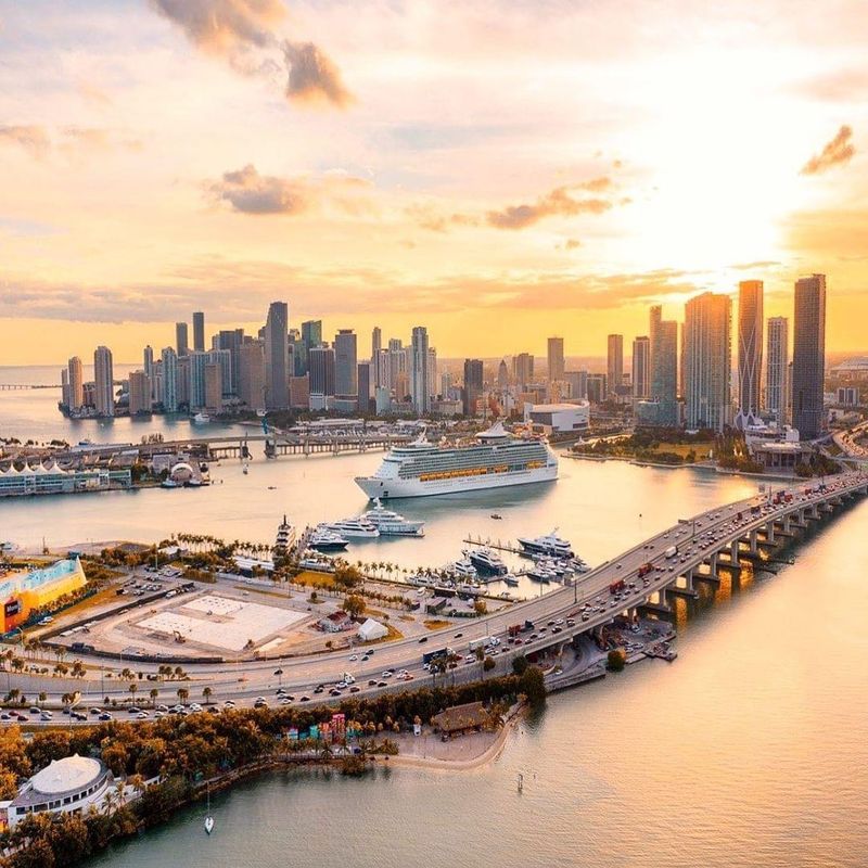
Miami’s geology makes it one of the most unusual climate challenges in the United States. Much of South Florida rests on porous limestone, which allows seawater to move beneath conventional flood barriers through the ground itself.
Building a wall around Miami would not stop water from coming up through the street.
Miami-Dade County currently plans for sea levels roughly 10 to 17 inches higher by 2040 compared to levels around the year 2000. Local authorities maintain detailed maps tracking storm surge vulnerability and tidal flooding zones at different sea-level scenarios, and the city has been actively upgrading drainage systems and funding flood-resilience projects.
Higher seas also worsen coastal erosion, hurricane storm surge potential, and routine tidal flooding that already affects some neighborhoods on clear sunny days. Miami is very much open for business and not going anywhere, but it offers a real-world case study in what wealthy coastal cities must spend to keep functioning as water levels climb.
New Orleans, Louisiana
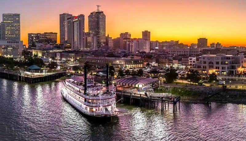
New Orleans has one of the most unusual relationships with water of any major American city. Large portions of it sit below sea level, held in place by an elaborate system of levees, pumps, drainage canals, and flood gates that require constant maintenance and monitoring.
Without that engineered system, the city would flood regularly.
The U.S. Geological Survey has documented ongoing land subsidence in the New Orleans area, and researchers have warned that sinking ground compounds the effects of rising seas over time.
Hurricane Katrina in 2005 showed what happens when storm surge overwhelms those defenses, and the city has spent enormously on improved flood protection since then.
The realistic concern for New Orleans is not disappearance by 2030 but rather the growing consequences of future hurricanes as sea levels rise and surrounding coastal wetlands continue to erode. Those wetlands historically acted as a natural buffer, and their loss removes an important layer of protection from the storm surge equation.
Venice, Italy
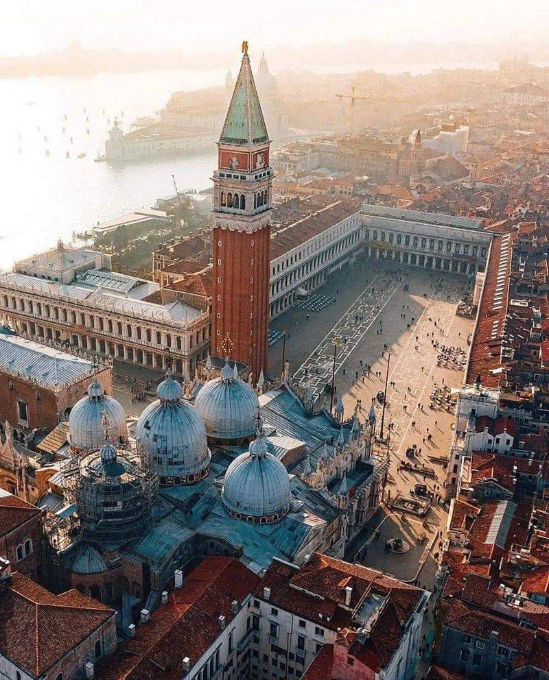
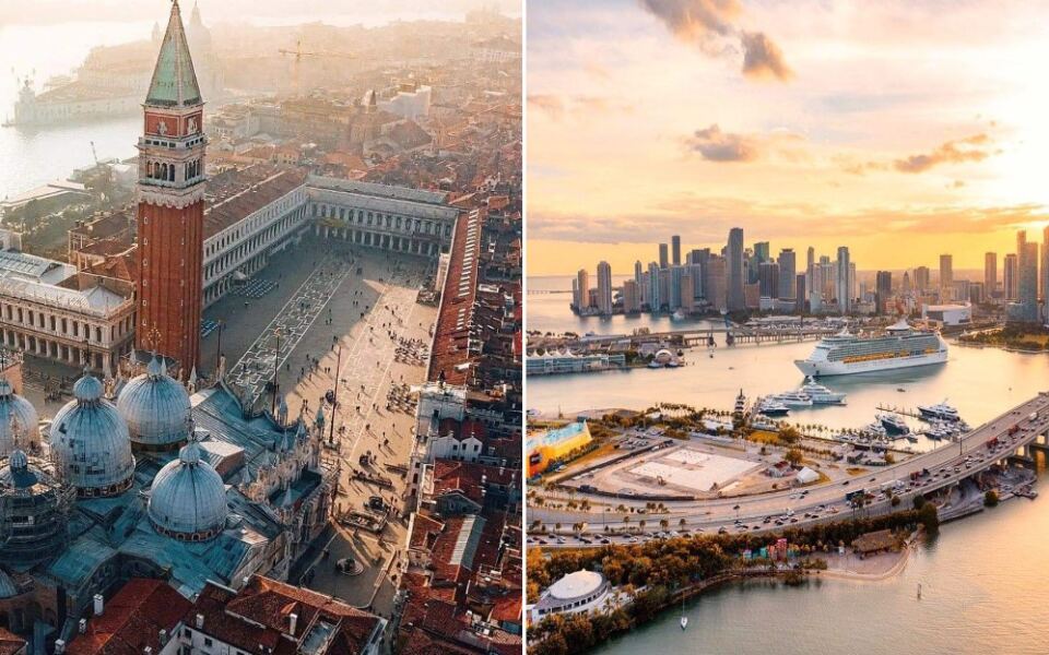
Venice has dealt with flooding, called acqua alta, for centuries. But modern sea-level rise has changed the situation in a meaningful way, increasing how often dangerous high-water events occur and how much water enters the city’s famous streets and piazzas during the worst episodes.
The city’s answer is the MOSE system, a set of large mobile barriers installed at the three inlets connecting the Venetian Lagoon to the Adriatic Sea. When dangerously high tides are forecast, the barriers rise from the seafloor to block incoming water.
The system has successfully prevented major flooding since it became operational, though rising seas could require increasingly frequent activations.
A 2026 scientific assessment concluded that long-term sea-level rise represents a major adaptation challenge for Venice and could push current protective strategies toward their practical limits later this century. Venice is not about to disappear, but it has become one of the world’s most closely watched experiments in protecting a historic city from rising water.
Shanghai, China
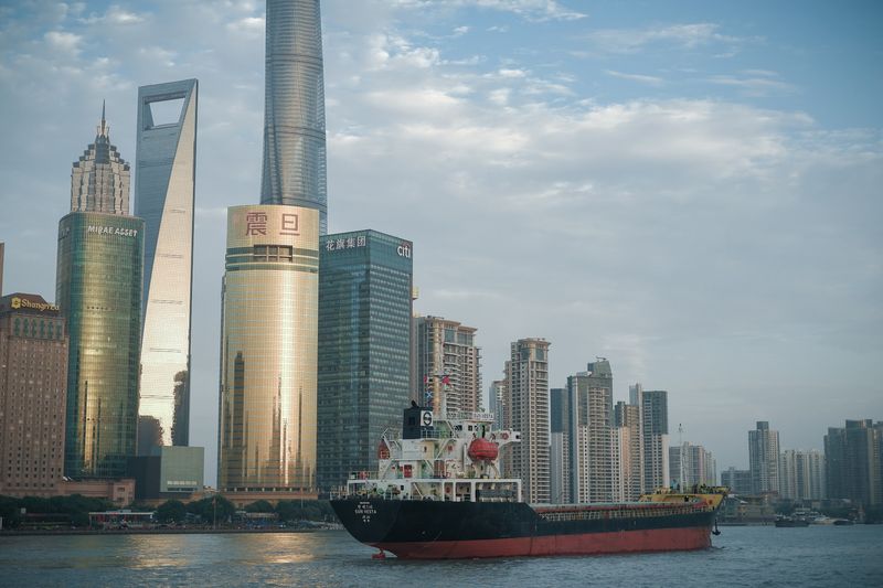
Shanghai is one of the most economically important cities on Earth, and it sits on some of the most geologically challenging ground for a major coastal city. Located at the mouth of the Yangtze River on a low-lying delta, Shanghai faces coastal flooding, storm surge, intense rainfall events, and land subsidence all at once.
Research has estimated that the combination of sea-level rise and subsidence could increase relative sea levels around Shanghai considerably over the coming decades. One modeling study estimated an average increase of roughly 80 millimeters between 2020 and 2030 under business-as-usual assumptions, which may sound small but has real consequences for a city built so close to the water.
Shanghai has extensive flood defenses and engineering infrastructure protecting trillions of dollars in assets, so the realistic concern is not disappearance. The challenge is managing increasingly complex flood events while the city continues to grow and add new development in areas that require sophisticated water management to remain safe.
Guangzhou, China
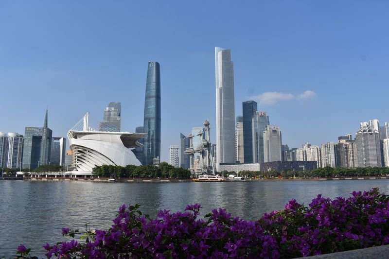
Guangzhou sits at the heart of China’s Pearl River Delta, one of the most densely populated and economically productive coastal regions anywhere in the world. The delta’s flat, low-lying terrain makes the entire region sensitive to changes in sea level, rainfall intensity, and storm surge patterns.
A 2026 study of China’s Greater Bay Area found that land subsidence could expose significant additional land and hundreds of thousands of additional people to coastal flooding by mid-century. Guangzhou was specifically identified among Pearl River Delta cities expected to face particularly significant flood exposure as climate conditions continue shifting.
The city is not at risk of disappearing by 2030, but the concentration of high-value infrastructure, manufacturing facilities, and residential neighborhoods in low-lying areas means that sophisticated flood protection and water management systems are not optional. They are already essential.
Continued urban growth in the delta region will only increase the importance of getting those systems right before conditions worsen.
Kolkata, India
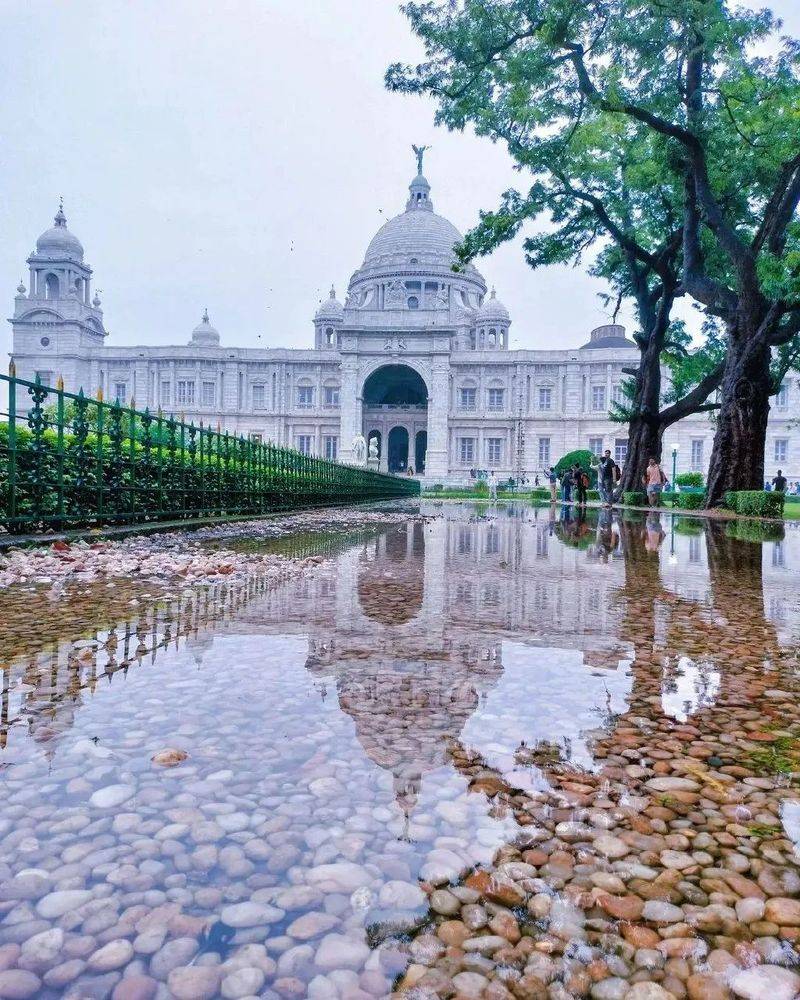
Kolkata’s location on the Ganges-Brahmaputra delta is both a historical advantage and a modern vulnerability. The river system that helped make the city a trading powerhouse for centuries now places it among the world’s most flood-exposed urban centers as climate patterns shift.
A 2026 World Bank water-risk assessment described Kolkata as one of the most flood-prone coastal cities on Earth, facing heavy rainfall, river flooding, storm surge, sea-level rise, and water stress in combination. Earlier research identified urban flooding as the city’s most critical climate-related hazard, particularly when intense monsoon rainfall coincides with elevated river levels or coastal storms pushing water upstream.
Kolkata is not forecast to disappear by 2030, but increasingly extreme precipitation events, stronger cyclones, and rising water levels could make flooding more frequent and more costly in the city’s most vulnerable neighborhoods. Upgrading drainage systems and expanding early-warning capabilities are among the most urgent priorities for city planners working on climate resilience.
Dhaka, Bangladesh
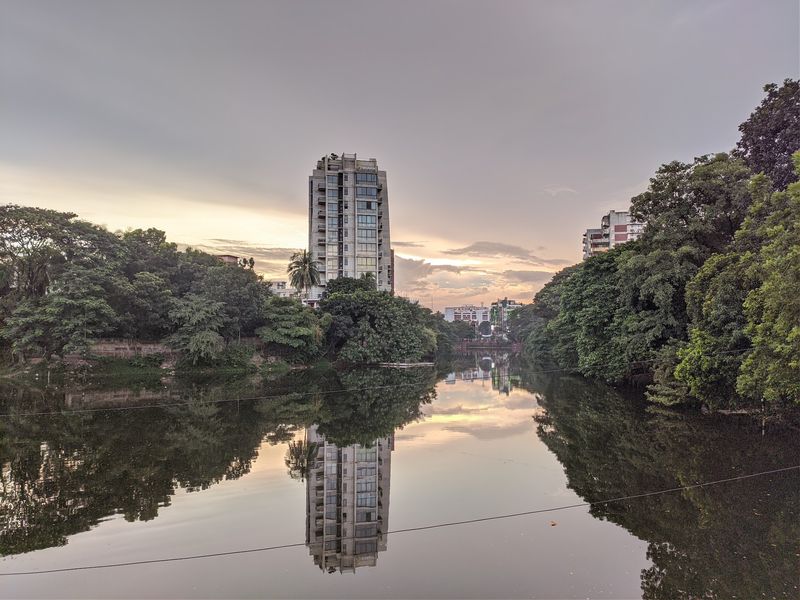
Dhaka does not sit directly on an open coastline, but do not let that fool you into thinking water is not its biggest challenge. The city is surrounded by multiple rivers, sits on low-lying terrain, and receives intense monsoon rainfall every year.
That combination already makes urban flooding a routine disruption for millions of residents.
The World Bank describes Dhaka as highly prone to both urban and river flooding because of its geography and proximity to major river systems. Climate change is expected to intensify monsoon rainfall, raise river levels, and increase the frequency of extreme weather events that push the city’s drainage systems well past their capacity.
Bangladesh more broadly faces serious climate exposure. A 2025 World Bank assessment estimated that nearly one-quarter of South Asia’s population could face severe flooding risk by 2030.
Dhaka is better described as a city managing growing flood and heat pressures than one facing disappearance, but the scale of those pressures is already enormous and still expanding.
Mumbai, India
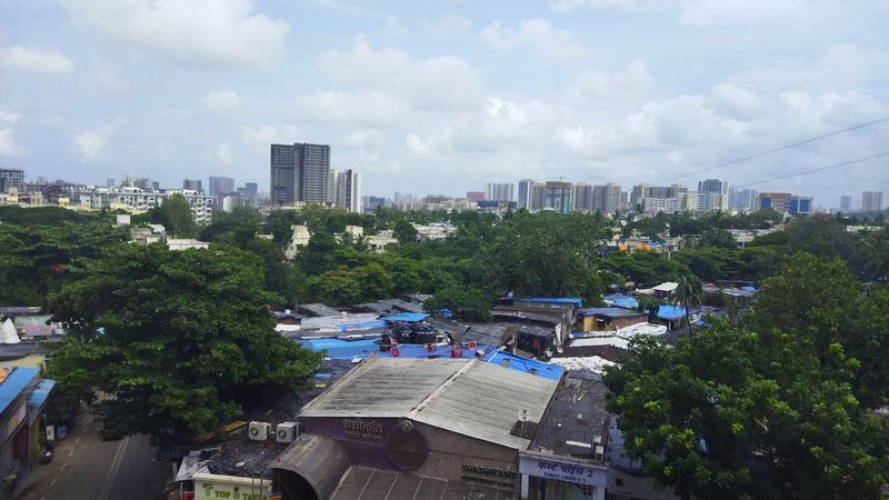
Mumbai’s origin story is genuinely fascinating from a geography standpoint. The city grew from a group of separate islands along India’s western coast, and centuries of land reclamation projects gradually connected those islands into the dense, sprawling metropolis that exists today.
That reclaimed land history also means much of the city sits close to sea level.
Recent scientific work identifies sea-level rise, storm surge, cyclones, and intense rainfall as major long-term adaptation challenges for the Mumbai Metropolitan Region. C40 Cities research found that even a relatively modest increase in global sea level would raise Mumbai’s probability of experiencing extreme coastal flooding events significantly.
Mumbai is one of India’s central economic engines and is absolutely not disappearing by 2030. City authorities continue conducting detailed climate-risk assessments and expanding resilience planning for its heavily developed coastline.
The city’s challenge is finding ways to protect dense, economically vital neighborhoods from water threats while continuing to function as a financial and cultural hub for more than 20 million people.
Rotterdam, Netherlands
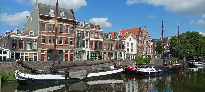
Rotterdam might be the most encouraging city on this entire list. Parts of it sit below sea level, and the city also experiences land subsidence, yet it functions as one of Europe’s busiest and most prosperous port cities.
The reason is generations of deliberate, sustained investment in water management engineering that has become world-famous.
The Netherlands built some of the most sophisticated dike systems, storm-surge barriers, pumps, and water-storage infrastructure ever constructed. Rotterdam specifically has added innovative projects like water squares, which are public plazas designed to temporarily store heavy rainfall during extreme events instead of letting it overwhelm the sewer system.
Climate change is forcing Rotterdam to keep adapting and investing, but the city’s story is fundamentally different from most others on this list. It demonstrates that vulnerability does not equal inevitability.
With the right combination of engineering, long-term planning, and political will to fund serious infrastructure, a city can sit below sea level and still thrive for generations to come.
Share this story