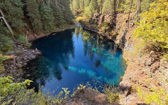
Some trails look plain at the start and leave you talking about them for weeks. This one in Oregon winds past moss and lava rock toward a pool so blue it seems painted.
You will not have it to yourself, and the falls may not be flowing, but the payoff can still stop you in your tracks. Here is what to know before you lace up.
A rocky walk leads to Tamolitch Falls
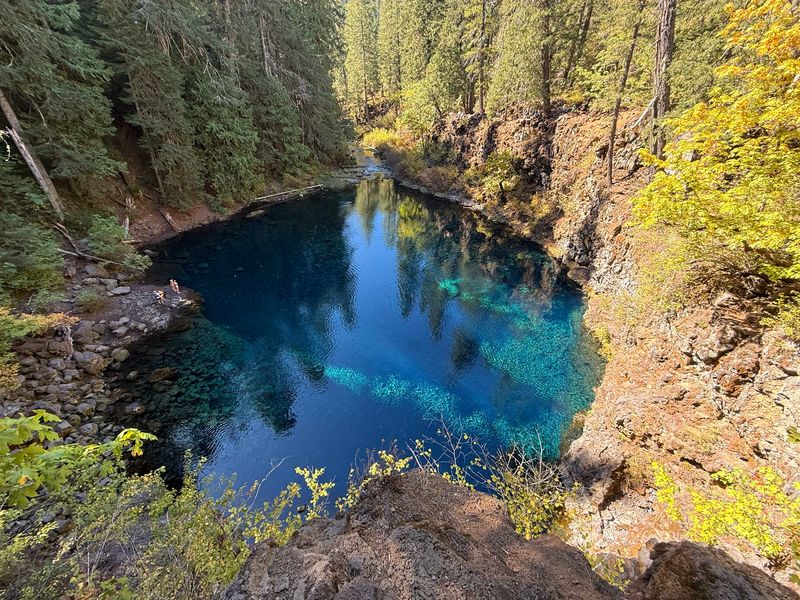
Tamolitch Falls, also called Blue Pool, sits on the McKenzie River National Recreation Trail in Oregon’s Willamette National Forest. From the Trail Bridge Reservoir trailhead, the Forest Service lists the pool as 2.1 miles one way, and it rates the hike moderate.
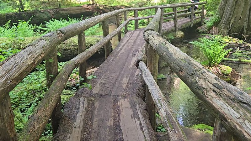
Expect rough, rocky ground rather than a smooth stroll. Tree roots, lava rock, and moss-covered stones keep your eyes on your feet for stretches, then the forest opens up and rewards you.
The pool is the big visual payoff here. Just do not count on solitude or a pounding waterfall, because neither is promised on any given day.
Where the McKenzie River resurfaces
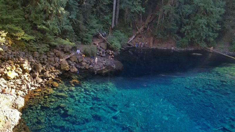
The McKenzie River does something odd here. It flows through porous lava rock and then resurfaces at the pool, which is why the basin can look like a spring bubbling up from the ground, as a USGS field-trip guide describes.
That blue color is consistent with clear, deep water absorbing the longer wavelengths of light. How it looks can still shift with the sky and the angle you see it from.
Sources do not agree on the lava flow’s age or where it came from. The Forest Service names one crater, while the USGS says the source is unknown, so treat the origin story as unsettled.
The USGS also says the river’s disappearance is not caused by the Carmen-Smith diversion.
The falls are a seasonal bonus
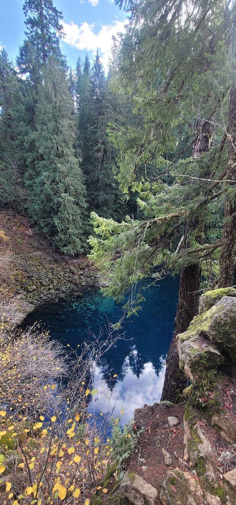
Think of the waterfall as a bonus, not the main event. The Forest Service says the falls flow during wet winters and usually only in spring, and they may stay dry.
That means no one can promise a roaring sound or a particular scene on your visit. Plan to be happy with the pool itself.
It also helps to separate the trail from the destination. The path follows the McKenzie for much of the way, yet the river goes underground through lava before it reappears at the basin, as the USGS guide explains.
So a dry ledge does not mean the pool is missing.
Expect company on this shared trail
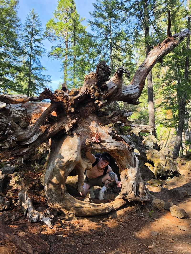
Here is the candid part: this is no secret. The Forest Service trailhead listing warns of heavy use in spring and summer.
The agency’s trail page says the spot draws hundreds of hikers, photographers, and mountain bikers. If you want elbow room, an early start or a less busy day may help, though nothing is guaranteed.
Bikers share this route too. The Forest Service asks them to yield to hikers, expect congestion, and use a bypass trail to ease conflicts.
Walk with your ears open and step aside when someone rolls up.
Prepare for rough footing and limited facilities
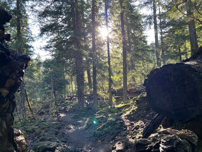
Your ankles will do some work. The Forest Service rates the hike moderate, calls the terrain rough and rocky, and recommends sturdy, closed-toe footwear.
If you start from Carmen-Smith Reservoir instead, the distance is 3.3 miles one way. Add the return trip when planning your energy and daylight.
Day use is listed from 6 a.m. to 10 p.m., with no fee listed. There is a vault toilet but no potable water, so bring what you need to drink.
Treat these details as listings that can change with weather or conditions.
Check access, parking, and conditions before you go
Call the ranger station before you drive out. The Forest Service says access is weather-dependent and that its roads are not maintained for snow and ice.
Parking can fill up. If the lot is full, do not park along Highway 126 or in front of EWEB facilities and access points.
The page also lists a vehicle and pedestrian closure for Forest Service Road 2600-740 and the surrounding area. Verify that status yourself, since the page was last updated May 6, 2025, and conditions may have changed since.
Admire the pool from solid ground
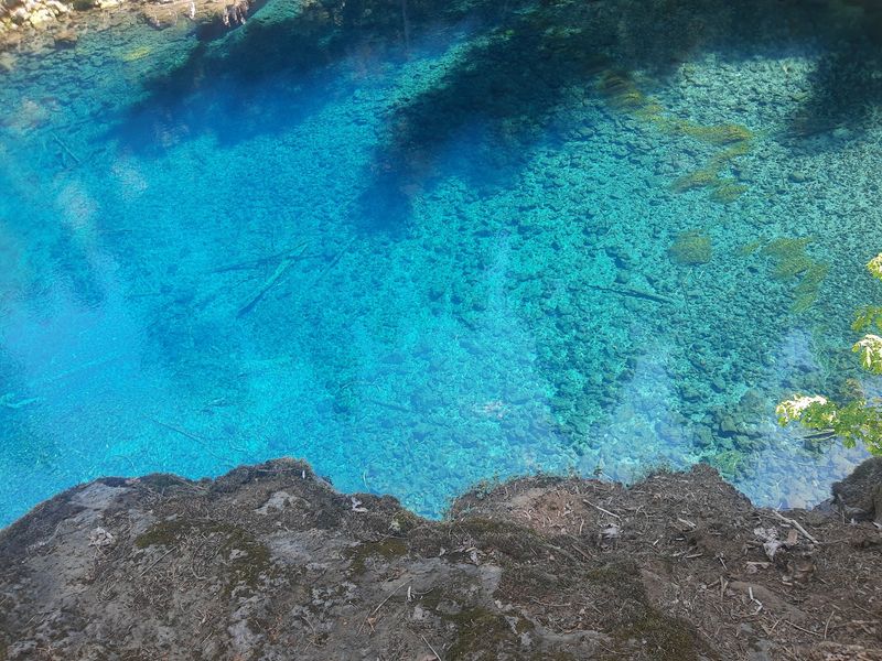
That glowing water is far colder than it looks. The Forest Service reports cliffs 10 to 60 feet high, very cold water, minimal or no phone reception, and potentially long emergency response times.
Agencies have given temperature estimates around 37 to 42 degrees Fahrenheit, but treat those as rough figures. A Linn County Sheriff’s Office advisory repeats the warnings about cold water and remoteness.
Stay on the trail, and do not enter the pool or jump from the cliffs. A rule may not forbid something, but that does not make it safe.
Check conditions first and share the path with others.
The best view here comes with dry feet.
Share this story