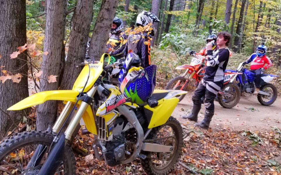
Southern New Hampshire has an off-road riding area with 26 miles of trails, rocky hill climbs, brook crossings, and routes that challenge even experienced dirt bike riders. The Hopkinton-Everett OHRV Trails Area in Dunbarton and Weare offers plenty of ground to cover without traveling to the state’s northern ATV destinations.
The trail system includes easier loops for beginners, technical single-track sections, and the challenging Hang Glider Hill. ATVs, dirt bikes, and qualifying narrow UTVs can use designated routes, but the 50-inch vehicle width restriction is important to know before arriving.
There is another unusual detail. These trails sit within a U.S.
Army Corps of Engineers flood-control project, so access can change with little warning. Knowing the trail rules, parking arrangements, and seasonal closures can make the difference between a full day of riding and a wasted trip.
Where the Dirt Road Adventure Begins
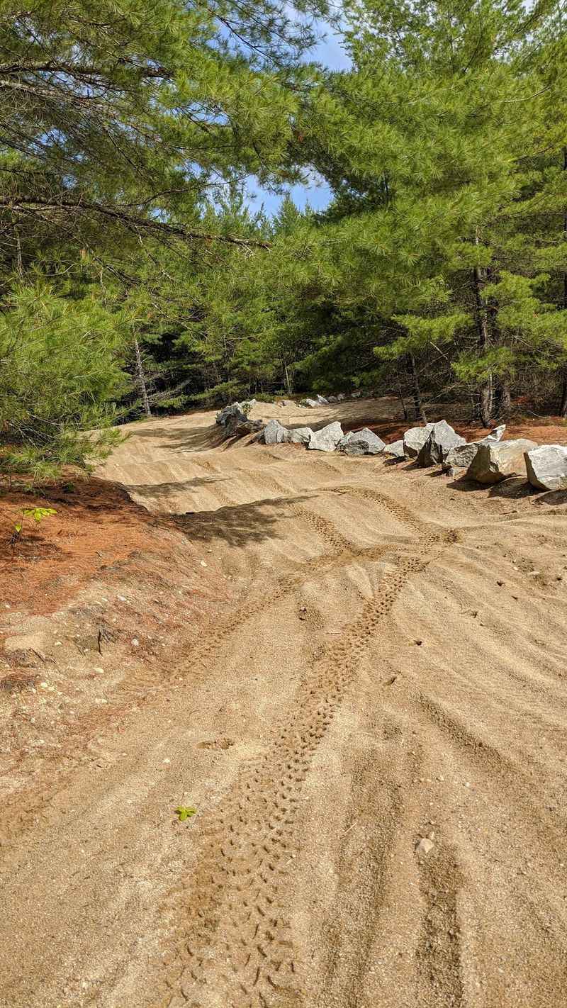
My GPS gave up long before I found the parking lot, so I printed directions next time. The main staging area for the Hopkinton-Everett OHRV Trails Area sits at the junction of Ray, Winslow, and Old East Weare Roads in Dunbarton, New Hampshire 03046, United States.
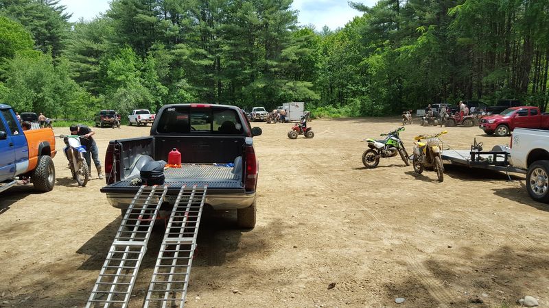
Locals sometimes call it Hop-Ev or Clough, and the trail system stretches into neighboring Weare. Two fenced dirt lots greet riders, each with an information kiosk and a loading ramp for pickup trucks.
Those ramps are a lifesaver if you forget your own. I watched one rider roll his quad off a tailgate in about ten seconds flat.
Parking along Ray Road is not allowed, so keep driving until you reach the official lots. The spaces fill quickly on weekends, and I learned to arrive early after circling once like a lost goose.
The area is only about 20 minutes from Manchester, which makes it an easy morning trip. Once your machine is unloaded, the real question becomes which loop to pick first.
Six Loops and Zero Boring Miles
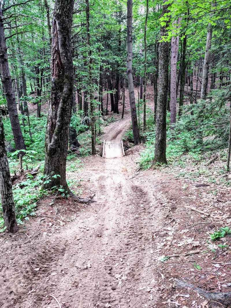
Roughly 24 to 26 miles of marked trails wind through these woods, split into six connected loops. Each one has its own personality, and none of them felt like a copy of the last.
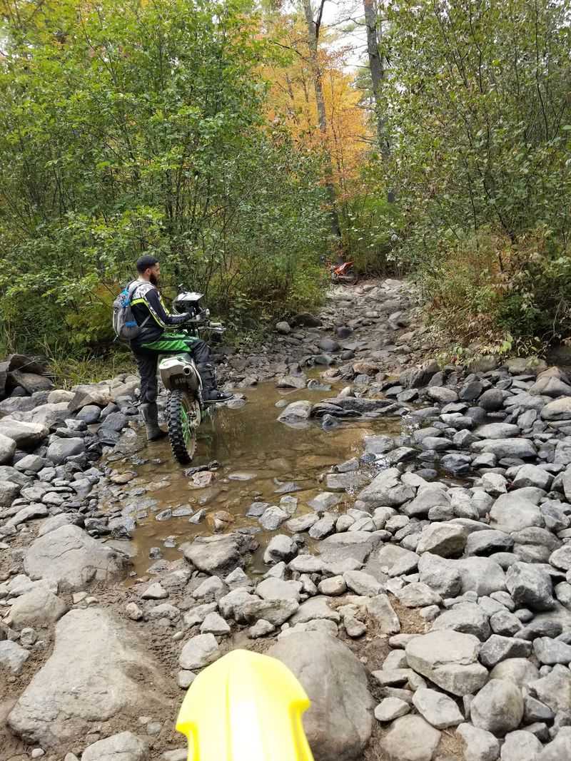
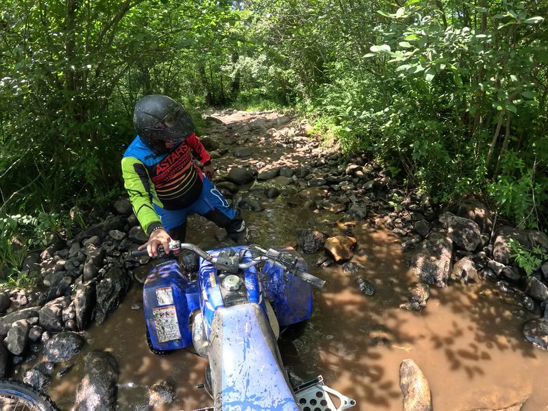
Stark Pond Loop is the friendly starter, with gentle ups and downs that let new riders find their balance. Sugar Hill steps things up with climbs, drops, rougher ground, and a shallow ford across Choate Brook.
That brook crossing was my favorite surprise. My front tires hit the water and I laughed out loud like a kid at a sprinkler.
All the main trails start near the parking area and bring you right back again. Getting lost is hard, which takes a lot of worry out of the day.
The start of each trail runs two ways, then quickly turns one way. Arrows on the trees keep you pointed in the right direction.
I spent a full afternoon here and still had loops left to try. The tougher ones, though, deserve their own warning.
The Trails That Test Serious Riders
Not every trail here is a casual cruise. The Bob Thomas Trail, often called the BT, and the River Loop are rated extreme and are meant for experienced dirt bike riders.
These single-track paths are tight, technical, and full of rocks and roots that test every skill you have. I watched a few riders head in with confidence and come out looking happily worn out.
The advice from trail managers is simple and smart. First-timers should ride these with an experienced leader, and nobody should tackle them alone.
Fewer riders travel these routes, so help may not come along quickly if something goes wrong. Bring a buddy, a basic tool kit, and plenty of water.
Quad and side-by-side riders will not miss out completely, since several other loops welcome four wheels. Hang Glider Hill, for one, has a climb that many people talk about long after they ride it.
That hill earned its name honestly. Let me tell you what it did to my arms.
Roots, Rocks, and One Famous Hill
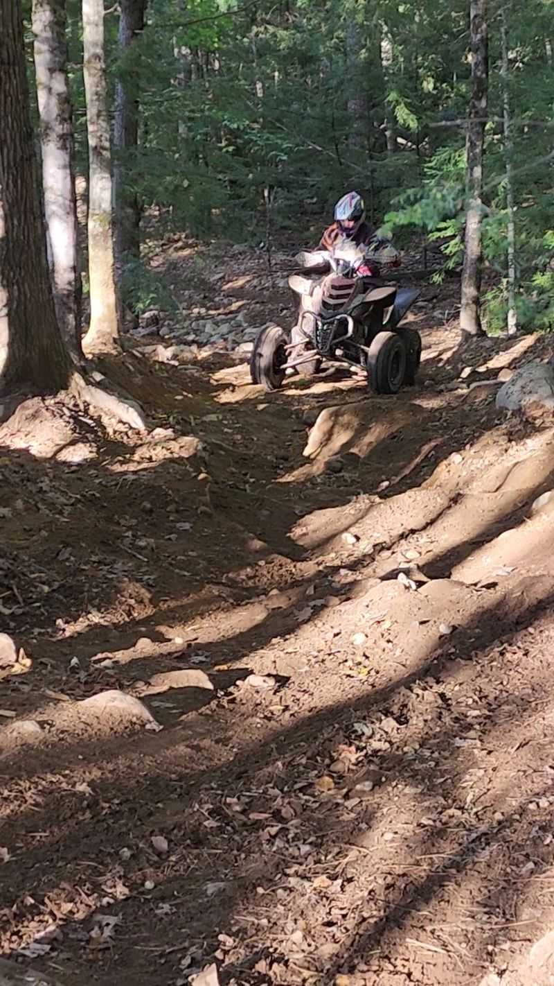
Hang Glider Hill does not ask politely. It throws a steep climb at you, then a descent that keeps your fingers busy on the brakes.
The middle of that trail is loaded with rocks and boulders, and I felt every one through my seat. My forearms were burning by the time I reached flatter ground.
Across the system, the surfaces change constantly. Some stretches are smooth hard-packed dirt, while others are rutted, rooted, and covered in loose chunk rock.
The whoops deserve a special mention. They are deep, and hitting them too fast is a quick lesson in humility.
After rain, certain sections turn wonderfully muddy, while others stay dry and dusty. I went home dirty from my boots to my helmet, and I would not change a thing.
Sand appears in places, but it is never the main show. Mostly, you get a fun mix that keeps your hands and eyes working.
Wooden bridges show up often, too, and there are more of them than you might guess.
Over 100 Bridges and a Strict Size Rule
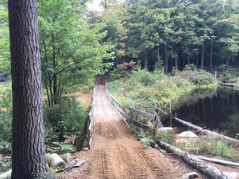
Here is a number that surprised me: the trail system reportedly has more than 100 bridges. Many cross shallow creeks, while others carry riders over wet or uneven ground.
Those narrow crossings help explain why vehicle size matters so much here. New Hampshire’s rules for state-owned trails generally prohibit OHRVs wider than 50 inches or weighing more than 1,000 pounds, and Hopkinton-Everett is specifically designated for machines no wider than 50 inches.
Trail bikes, ATVs, and qualifying narrow UTVs can use designated routes. Jeeps and other highway vehicles are not permitted on the OHRV trails.
Before loading up, check your machine’s width and weight against the applicable trail restrictions. Not every side-by-side qualifies, even if it is registered for off-road use.
Riding across these bridges also offers a reminder of the work involved in maintaining the trail system. The Merrimack Valley Trail Riders and New Hampshire Bureau of Trails work together to keep the routes in shape.
That effort becomes even more interesting once you learn how this riding area developed.
From Torn-Up Land to Trail Treasure
Before 1987, this land had a rough reputation. Oversized 4×4 trucks tore up plants, caused heavy erosion, and left the area scarred and littered with trash.
The property is owned by the U.S. Army Corps of Engineers and was built as a dry flood control reservoir for the Merrimack River.
Rural police had a hard time keeping order out here.
Change started in the early to mid-1980s. The Merrimack Valley Trail Riders, a dirt bike club, got permission to hold events on the land.
By 1987, the state and the Army Corps agreed on a plan. New Hampshire became the land manager, repaired damaged areas, marked legal trails, and banned oversized 4x4s.
Today the state leases the property each year through the Bureau of Trails. The Merrimack Valley Trail Riders still help maintain it with volunteer labor and funds mostly from OHRV registrations.
I thought about that history at every smooth berm I rode. Of course, flood land comes with one tricky catch about timing.
Timing Your Ride Around Mud and Floods
Late May is usually when the riding season gets underway at Hopkinton-Everett. New Hampshire State Parks listed May 23 as the opening date for 2026, although weather and trail conditions can affect access.
Spring mud season is the important restriction to understand. OHRV riding on state-managed land is generally prohibited between the loss of consistent snow cover and the late-May opening.
That gives the trails time to dry out and helps prevent damage to the ground.
Winter access works differently. When conditions allow, OHRVs may use designated open snowmobile trails within the Hopkinton-Everett riding area.
That does not mean riders can continue onto the surrounding public snowmobile trail network.
The flood-control project adds another complication. Because the trails are located on U.S.
Army Corps of Engineers property, recreational access can be suspended without advance notice when flood-control operations require it.
Before heading out, check the New Hampshire Bureau of Trails updates and the Merrimack Valley Trail Riders for current conditions. A quick check can save you from arriving at a closed trailhead.
With the timing sorted out, the next thing to understand is how the trail rules keep everyone moving safely.
Speed Limits, Arrows, and Trail Manners
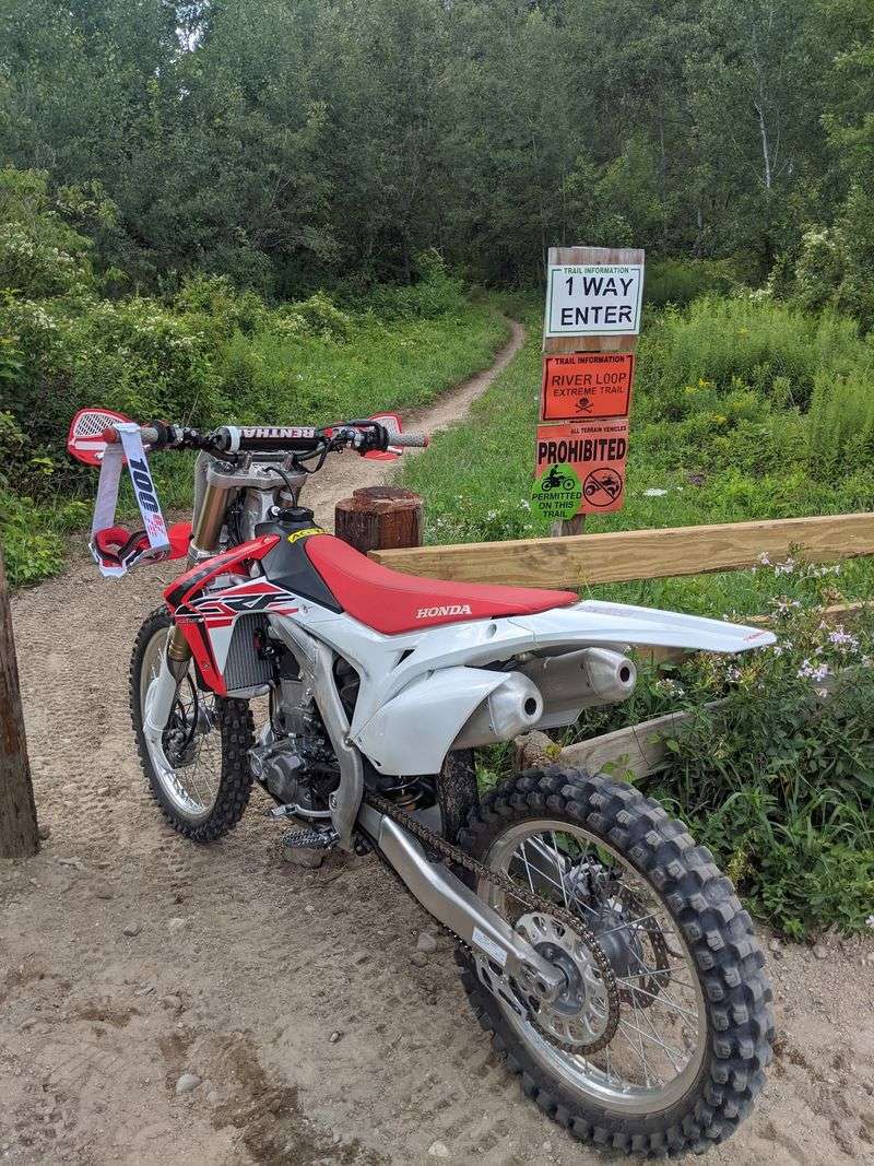
Rules keep the fun rolling smoothly here. Most trails are one way, and riding backward against the arrows is not allowed.
Speed limits are 25 MPH on one-way sections and 10 MPH on two-way stretches and at intersections. Mud bogging and leaving the marked trail are off limits, partly to protect wetlands.
Machines need a spark-arresting exhaust or end cap. Noise is capped at 96 decibels, which keeps the woods a little calmer.
Courtesy matters just as much as the posted signs. As a slower rider, I pulled to the right to let faster folks pass, and almost everyone gave a wave or a thank you.
Weekends can get crowded, especially with mixed skill levels sharing narrow paths. Staying to the right side and slowing at blind corners makes a real difference.
Since you cannot turn around on one-way trails, pick loops that match your ability. Young or brand-new riders should start on the easier routes.
Before any of this, there is one piece of paperwork to handle.
The Sticker You Cannot Forget
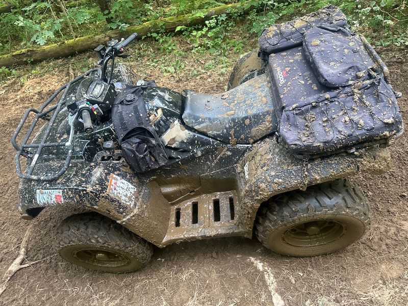
No sticker, no ride. Every OHRV on these trails must display a valid New Hampshire OHRV registration and decals.
To register, you must be at least 18 and show a valid driver license or non-driver photo ID. New Hampshire residents with a state license qualify for resident rates.
You will need details about your machine, including year, make, model, engine size, colors, and VIN. New Hampshire does not title OHRVs, so no title or bill of sale is required.
Members of a New Hampshire OHRV or snowmobile club should bring proof of membership. It can qualify you for lower club rates.
Registrations run from May 1 through April 30 each year. I set a phone reminder in April so I never get caught with an expired decal.
Out-of-state riders come from Massachusetts and Rhode Island all the time, so this step is common for visitors too. Handle it ahead of time and your day starts stress free.
Next up, a few small details that make the ride smoother.
Gas Stops, Weak Signals, and Smart Packing
My phone showed zero bars about five minutes into the woods. Cell and GPS signals are weak here, so download or print a trail map before you leave home.
One handy surprise: a trail connects to a road that leads to a gas station. Bring a card, because that station does not take cash.
Pack water, snacks, and a small tool kit. A helmet and proper riding gear are a must on these rocky, rooted paths.
There are rest stops along some trails where you can catch your breath. I used one to stretch my sore legs and eat a very squished granola bar.
Arrive early if you want a parking spot without stress. Weekday mornings can feel almost private, while weekend lots fill fast.
A local police officer was friendly and patient with younger riders during my visit. That kind of welcome makes the place feel cared for.
Oddly enough, off-roaders are not the only ones sharing these woods.
Hikers, Horses, and a Bigger Backyard
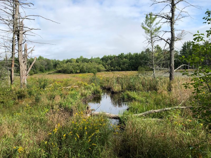
Picture this on the trail: a dirt bike, a mountain biker, and someone on horseback, all in the same afternoon. The system is multi-use, so hikers, horses, and even dog sleds may appear.
The OHRV trails are part of the larger 10,000-acre Hopkinton-Everett Lakes project managed by the Army Corps. That means plenty to do beyond riding.
Elm Brook Park and Clough State Park offer picnic tables, grills, playgrounds, and swim beaches. Fishing, hunting, and hiking are popular across the area.
Boat ramps are available, and canoeing on the Contoocook River is a peaceful change of pace. Winter adds more than 30 miles of snowmobile trails.
I caught a glimpse of Everett Lake between rides and stopped just to look. After hours of rattling over rocks, the quiet water felt like a reward.
That mix of thrills and calm is what keeps pulling me back. I still have loops to finish, a brook to splash through again, and a hill that owes me a rematch.
Share this story