Out on the flat, windy edge of the Oklahoma Panhandle, there is a lake that does not match its own blueprint. You expect a big blue shoreline, but the story here is about a gap between a plan and a river that changed.
That gap is what makes Optima Lake one of the most curious stops for anyone who loves odd outdoor places and local history. Come along and see what really happened, and what you can realistically see today.
Optima Lake is the documented ghost-lake story
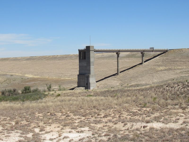
Plenty of folks like to say Oklahoma has a whole string of ghost lakes. The honest answer is smaller and more interesting.
The one documented example is Optima Lake in Texas County, in the Oklahoma Panhandle.
The plan for it was big. According to the Corps of Engineers disposition study, Congress authorized the project for flood control, water supply, recreation, and fish and wildlife.
That is a long list of jobs for one reservoir, and it sounds like the recipe for a classic lake with boats, anglers, and a busy shoreline.
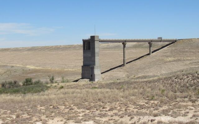
Here is where the mystery comes in. The lake never reached the pool that planners had in mind, so the picture on paper and the picture on the ground do not line up.
That mismatch is why people talk about Optima, and why the stories sometimes grow bigger than the facts.
In this article we stick to what the records support. That means one lake, one dam, and one set of well-documented reasons.
We will not claim that several Oklahoma reservoirs share this history, because nobody has shown that here. We also will not describe docks or boat ramps sitting over dry grass, since the sources we have do not confirm that scene at any specific site.
What remains is a real place with a real story, which is more than enough for a road trip through the plains.
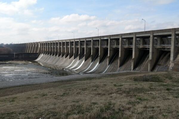
The dam was completed after Beaver River flows declined
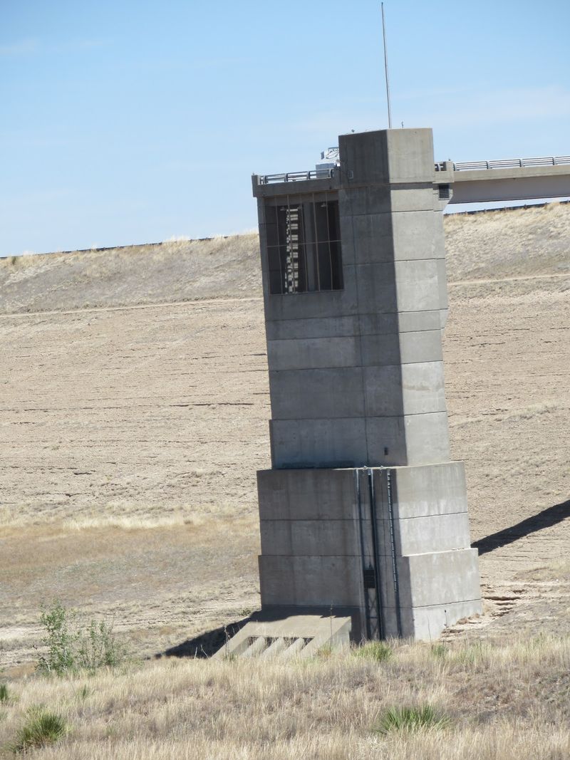
Timing is the heart of this story. Congress authorized the project in 1936, and then the plan waited a long time.
Construction did not begin until 1966, and the dam was finished in 1978, according to the Corps of Engineers.
Think about that stretch of years. A design drawn up in the 1930s met a landscape that looked quite different by the late 1970s.
The Beaver River was the main source for the planned reservoir, and its flow had already declined by the time the gates could do their job.
A reservoir is a bit like a bathtub with a slow faucet. If the tap runs weaker than the designers expected, the tub fills only partway, no matter how solid the walls are.
That is the shortfall at Optima, and U.S. Geological Survey research on the High Plains aquifer describes the lake’s limited storage in that streamflow context.
Notice what this does not say. It does not say the lake stayed empty from day one.
Water did collect behind the dam, just never enough to reach the intended conservation pool. The gap is one of degree, and that detail matters if you want to tell the story accurately at the next gas station stop.
A changed watershed helps explain the low flows
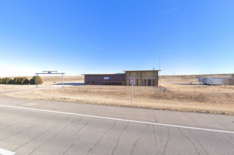
Why did the Beaver River carry less water? The Corps points in part to growing municipal, industrial, and agricultural withdrawals from the Ogallala Aquifer, as described in its disposition study.
That aquifer is the huge underground water supply beneath the High Plains.
Rivers on the plains often rely on that underground water to keep flowing. When groundwater levels drop, streams can lose that steady boost.
Researchers at the U.S. Geological Survey, in their High Plains aquifer study, connect low flows to groundwater declines and to changes in runoff across an irrigated watershed.
Fields that are irrigated and managed differently can soak up or hold rain that once ran toward the river. So the land itself behaves differently than it did when the lake was first imagined.
Still, it would be too simple to blame one thing or one group. Drought years hit this region, and streamflow here has always swung up and down naturally.
For background on how the aquifer and water use fit together across the region, Oklahoma State University offers a helpful look at the Ogallala Aquifer.
Put together, the low flows came from a tangle of causes. Groundwater, land use, weather, and a naturally moody river all played a part, and no single villain explains the whole picture.
Optima held water but never reached its planned pool
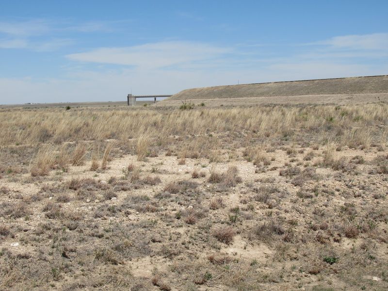
Here is a number that corrects the legend. The U.S.
Geological Survey’s 1982 water resources report for Oklahoma records Optima’s highest contents at 7,610 acre-feet, reached in 1980. An acre-foot is the amount of water that would cover an acre of ground one foot deep.
That sounds like a lot until you compare it with the plan. It amounts to about 6% of the lake’s planned conservation storage.
So the lake was not a mirage, and it was not bone dry forever.
The better way to say it is that Optima never reached its intended conservation pool. The phrase never filled is only fair if you mean that.
Water arrived, then the lake settled back into a much smaller footprint than the designers pictured.
Why does that distinction matter? Because it keeps the story honest.
A lake that held some water and then fell short is a different tale from a lake that never touched a drop. The first is a lesson in how planning meets a changing river, and the second is simply not true.
The U.S. Geological Survey’s aquifer study also treats Optima’s storage as limited, which fits the record.
Limited is the key word, and it is a precise one.
The dam still serves flood-risk management
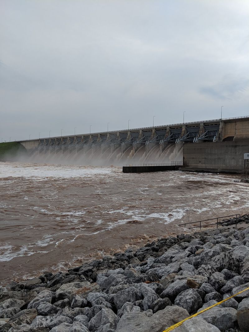
Calling Optima a failure makes a punchy line, but it skips a big part of the record. The dam is still in operation, and its job today is flood-risk management.
The Corps says it has prevented or reduced downstream flood damages during several recorded events, according to its disposition study.
Picture a heavy storm sending a rush of water down a plains river. A dam can hold that surge back and let it out slowly, which gives downstream farms and roads a better chance.
That is the kind of work the structure does.
So there are two ideas to keep apart. One is that the reservoir did not reach its intended pool.
The other is the claim that the whole project is pointless or abandoned, and that second claim overshoots the facts. The Corps also reports that it recommended against disposing of the project.
A handy clue when you hear a dramatic version of the story is to ask what the speaker means by success. If they mean a big recreation lake, Optima fell short.
If they mean protection from floods, the record tells a more useful story.
Either way, the dam remains a working piece of infrastructure rather than a forgotten ruin.
Check access before visiting the lake
Planning a visit? Set your expectations before you fill the gas tank.
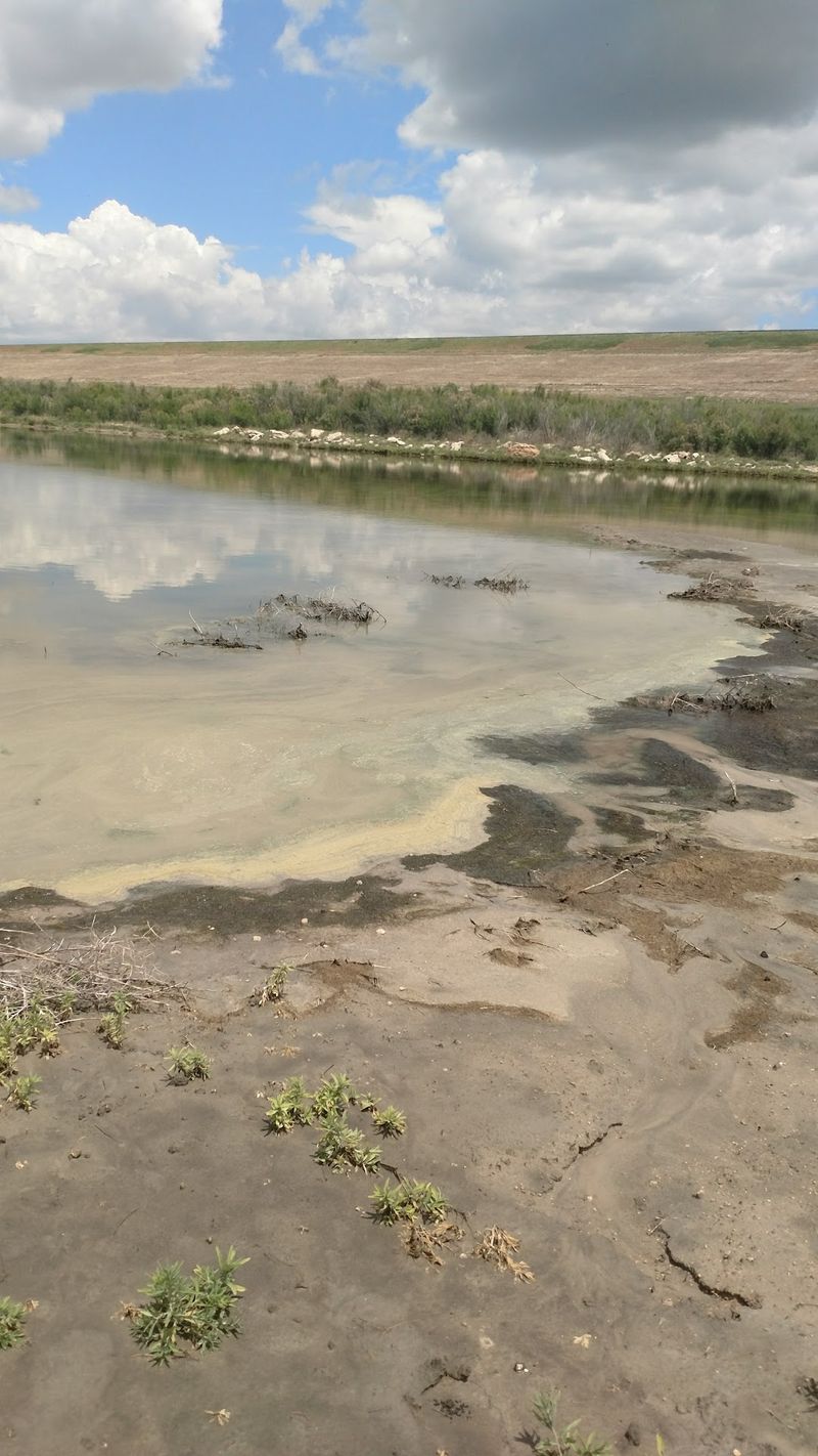
The Corps explains on its Optima Lake recreation areas page that Angler Point, Hooker Point, and Hardesty Park are access points only, with services shut off. Prairie Dog Point is closed to the public.
That means this is not a place to roam the whole basin or expect a full-service marina. Water-based recreation is generally unavailable because levels stay low, as the Corps’ study notes.
We also cannot say that docks or ramps are present at any given site, so treat that as something to confirm for yourself.
For the drive, Recreation.gov lists the lake near Hardesty and gives a route from Guymon. Head 30 miles east on Oklahoma 3, then 3 miles north on a county road.
Before you go, check current conditions. You can call the Fort Supply Lake Office at 580-766-2701 to ask what is open.
Gates, closures, and conditions can change, and a quick call beats a long dusty drive to a locked entrance.
Bring water, a full tank, and a patient attitude. The reward is quiet, wide-open prairie and a chance to see the setting for a very unusual lake story.
The wildlife refuge is a separate destination
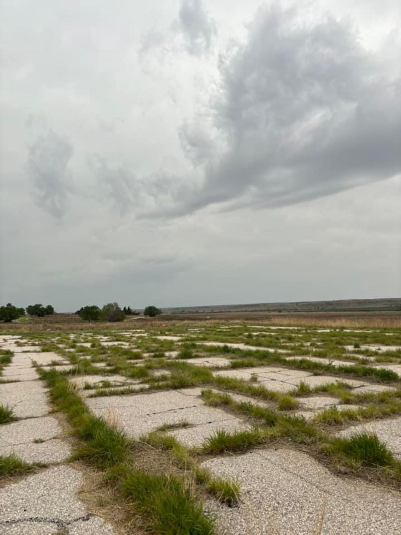
If the lake access points feel limited, the nearby refuge offers a different kind of outing. The U.S.
Fish and Wildlife Service describes Optima National Wildlife Refuge as a place for wildlife watching and photography, along with public hunting.
Think binoculars, a camera, and a slow walk rather than a boat trip. Plains birds and other wildlife are the draw, and the open landscape gives you plenty of sky for pictures.
Keep the two destinations separate in your mind. The refuge is a distinct area within the broader project, and its opportunities do not mean every lake access site is open.
The Corps lists those limits on its recreation areas page.
Before you set out, confirm which places you can reach and what rules apply. A little checking turns a hopeful drive into a good day.
Optima is best enjoyed as it is, a quiet prairie with a story larger than its shoreline.
Share this story