One conservation area in southern New Hampshire protects more than 1,000 acres of forest and wetlands, with over 20 miles of marked trails winding through the property. Hikers can follow paths along a red maple swamp, cross wooden bridges, tackle rocky sections, and watch for Great Blue Herons, deer, turtles, and wild turkeys.
But there is more hiding in these woods than wildlife. Old cellar holes mark places where homes once stood, and one trail passes a rusted car sitting partially submerged in the swamp with no clear explanation of how it ended up there.
The trail network ranges from easy loops to technical routes, and the landscape changes dramatically with the seasons. It is the kind of place where taking one unexpected turn can reveal an entirely different side of the preserve.
Londonderry’s Largest Natural Preserve and How to Find It
The Musquash Conservation Area sits within Londonderry, New Hampshire, and it is the town’s largest protected natural space, covering more than 1,000 acres of rolling forest and wetlands. One convenient access point is at 3 Sara Beth Lane, Londonderry, NH 03053, and another is near 361 Rockingham Road, with additional trailheads on Hickory Hill Road and Tanager Way.
The Hickory Hill trailhead recently received a proper parking lot, which is a welcome upgrade given how popular the area has become. On busy weekend mornings, parking can fill up quickly, so arriving early is a smart move.
What makes finding this place feel like a small victory is that it does not announce itself loudly. There are no billboards or flashy signs pulling you in. You simply turn down a quiet neighborhood road, find a modest parking area, and suddenly you are standing at the edge of more than 20 miles of marked trails ready to explore.
A Trail Network That Keeps Surprising You
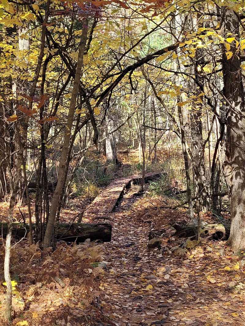
With more than 20 miles of clearly marked pathways crisscrossing the property, the trail system here is genuinely impressive for a town conservation area. Mini maps posted at intersections throughout the network make navigation manageable, though the sheer number of side paths and turns means it is easy to wander off your intended route if you stop paying attention.
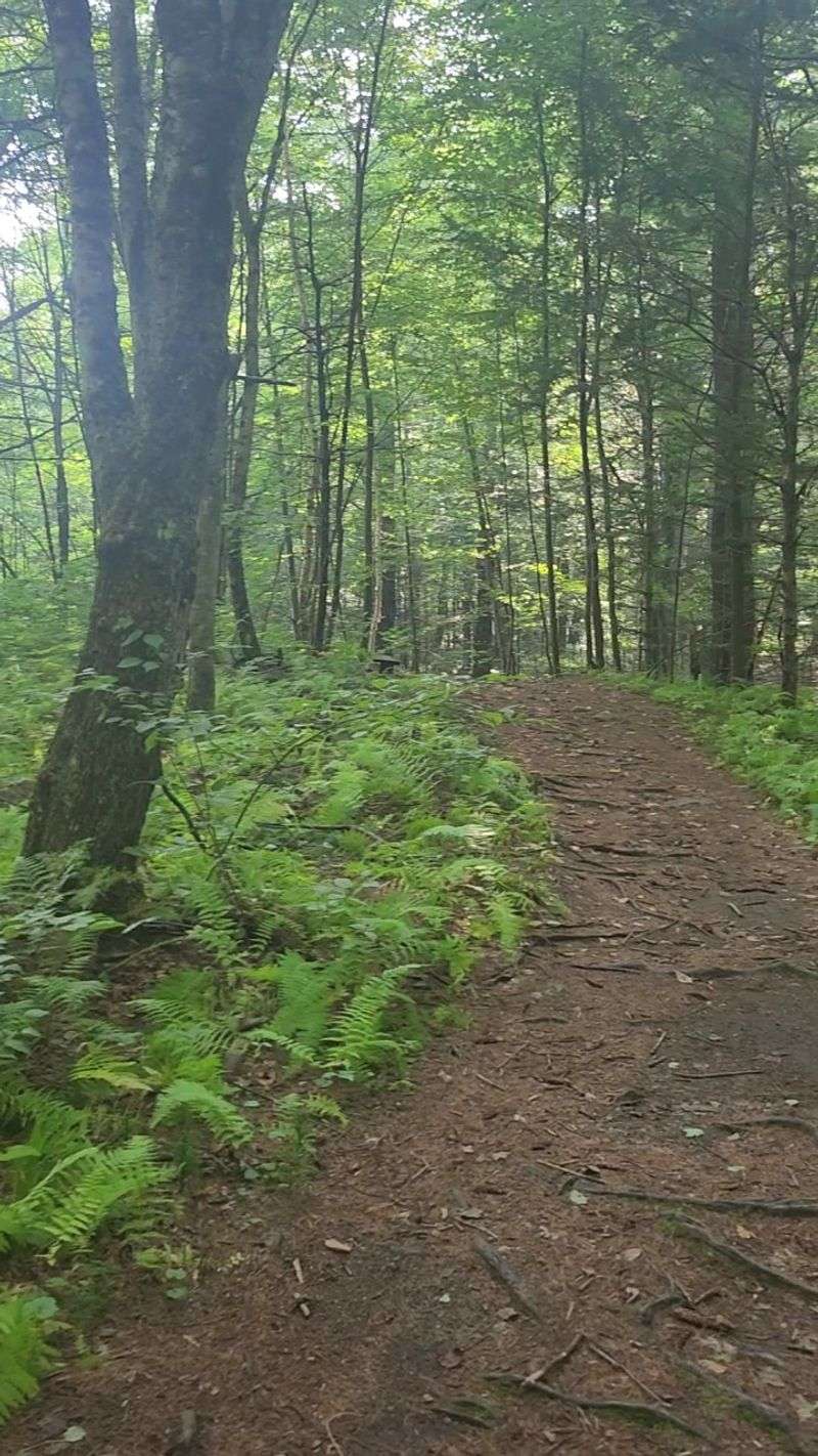
Named trails like the Heron Trail, Betty Mack, Landing, Ravine Trail, Shoots and Ladders, Porcupine Ridge, and Overlook Trail each offer a distinct flavor. Some hug the edges of the swamp with open wetland views, while others push through dense forest with rocky, rooty stretches that demand your full attention.
The variety is what keeps people returning week after week. You can string together a gentle two-mile loop or commit to a five-mile route with technical sections that will genuinely test your footing. No two visits feel identical, and that quality alone sets the Musquash apart from most local green spaces.
What the Wetlands Look Like Up Close
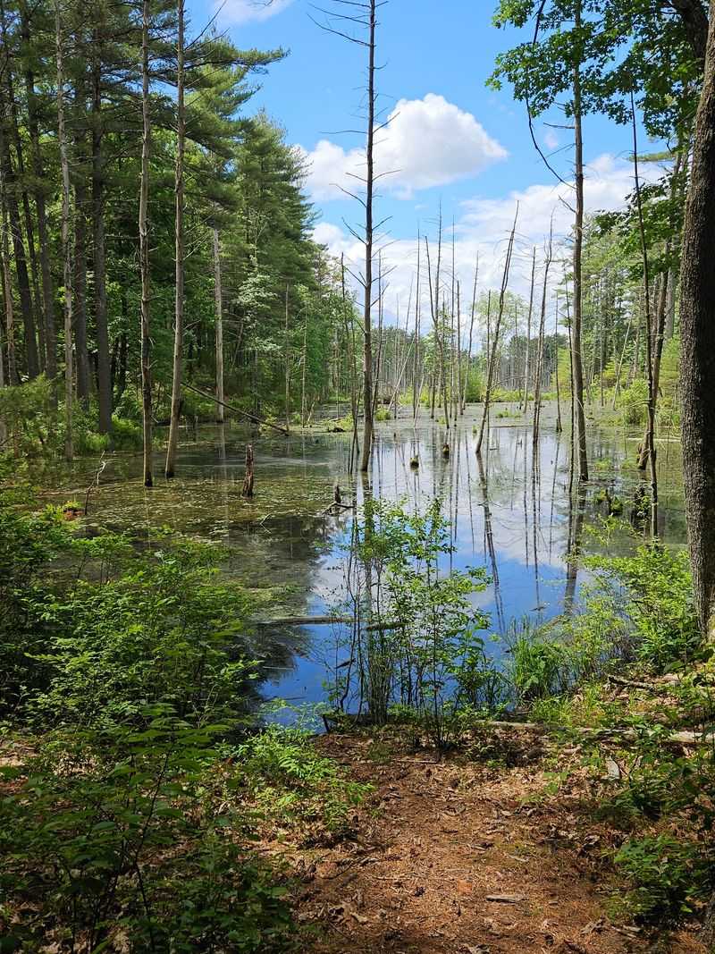
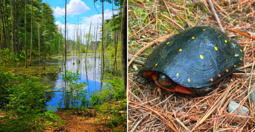
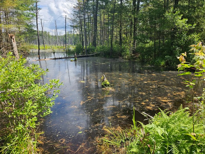
The wetlands at the heart of this conservation area are not something you simply glance at and move on from. The red maple swamp that dominates much of the interior is vast and visually striking, especially when the water sits perfectly still and mirrors the sky above. Walking the Heron Trail along its edge feels like moving through a painting that keeps shifting as the light changes.
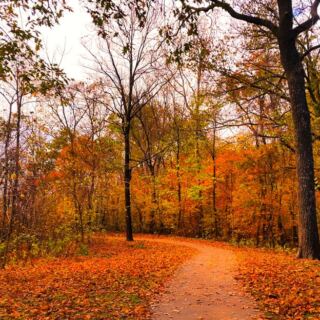
In early spring, the swamp floods and the water level rises, turning the landscape into something almost otherworldly. By summer, dense vegetation fills in around the edges, and the whole area buzzes with insect and bird activity. Fall brings a burst of color from the red maples that gives the wetlands their name.
Boardwalks and small wooden bridges cross the soggier sections, letting you get remarkably close to the water without sinking in. Tree bridges built by mountain bikers add a quirky, handcrafted charm to certain crossings, reminding you that this trail system has been shaped by the people who love it most.
The Wildlife That Calls This Place Home
The name Musquash comes from an Algonquian word for the muskrat, and these industrious animals are very much at home in the swampy heart of the conservation area. Their dome-shaped lodges appear along the water’s edge, and spotting one is a small thrill that never really gets old.
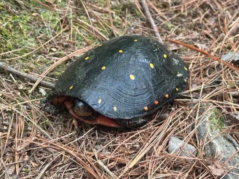
Great Blue Herons are a regular sight along the Heron Trail, often standing motionless in the shallows before launching into a slow, prehistoric-looking flight. Turtles sun themselves on logs near the pond, deer move quietly through the tree line, and wild turkeys appear with surprising regularity on the wider paths.
For anyone with a real interest in rare species, the Musquash serves as critical habitat for the state-endangered New England Cottontail. Conservation efforts have specifically targeted this area to support the species’ recovery, and knowing that your hike contributes to that mission by keeping the habitat intact adds a meaningful layer to the whole experience. Frogs, chipmunks, squirrels, and countless bird species round out the roster.
History Hidden Beneath the Forest Floor
The Musquash Conservation Area was officially established by the town of Londonderry in 1979, but the human history embedded in this land stretches back much further. Long before it became a protected natural space, this was settled territory, and the evidence is still visible if you know where to look.
Scattered throughout the forest are cellar holes, shallow depressions in the ground where houses once stood. These quiet remnants are all that remain of families who cleared land, built homes, and lived here generations ago. The land itself was originally claimed by Massachusetts before passing to Nashua, then known as Dunstable, and eventually coming under Londonderry’s stewardship.
Local historian David J. Ellis documented many of these features in his work titled “Cellar Holes, Roads and Features in the Musquash,” and Londonderry’s Historical Society has organized guided walks that bring these stories to life. Stumbling across a cellar hole mid-hike, with no signage to explain it, is one of those quietly affecting moments that makes this place feel genuinely layered and worth slowing down for.
Mountain Biking Terrain That Earns Its Reputation
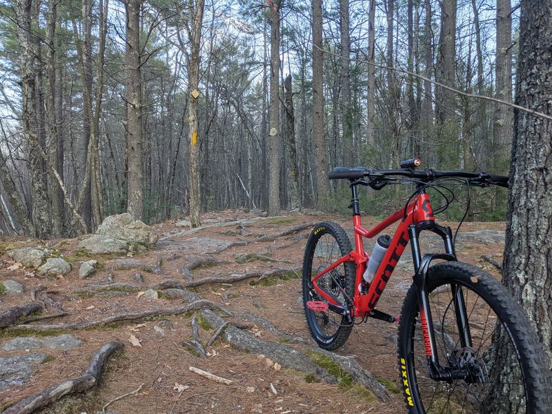
The Musquash has built a quiet but devoted following among mountain bikers in southern New Hampshire, and the trails deliver exactly the kind of riding that keeps people coming back. The trail system mixes old fire roads with tight singletrack, offering everything from smooth, flowing sections to genuinely technical stretches packed with roots, rock gardens, and short punchy climbs.
Trails like Betty Mack, Overlook, and Shoots and Ladders are particularly popular with riders looking for a real challenge. The terrain is rated intermediate to difficult in places, with rocky and rooty conditions that reward riders who pay attention and punish those who do not. Improvised tree bridges built by the biking community add a creative, grassroots touch to certain creek crossings.
Hikers and trail runners share the same paths, so staying alert matters, especially on the narrower sections where a fast-moving bike can appear with very little warning. Connecting the Musquash trails with the neighboring Litchfield State Forest opens up two to three hours of riding with minimal repeated sections, making it a full-day destination for serious riders.
Why Winter Might Be the Best Time to Visit
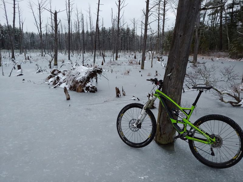
Most people think of spring and fall as prime hiking seasons, but the Musquash Conservation Area makes a compelling case for winter visits. When temperatures drop and the ground freezes solid, the swampy and muddy sections that slow you down in warmer months become firm and easy to cross. The frozen swamp opens up routes that are simply impassable the rest of the year.
Beaver lodges that are normally hidden behind dense vegetation become visible through the bare trees, and the whole landscape takes on a stripped-back clarity that feels almost meditative. Trails are hard-packed and fast underfoot, though the edges can hold soft snow, so traction devices or snowshoes are worth bringing along for icier days.
The biggest seasonal bonus is the near-total absence of mosquitoes and biting flies, which can be genuinely relentless during summer months. The conservation area hosts an annual Field Day event in February, typically featuring guided hikes, snowshoe opportunities, and a bonfire at The Landing gathering point, making a winter visit feel like both an adventure and a community celebration worth planning around.
The Annual Field Day That Brings the Community Together
Every February, the Musquash Conservation Area transforms from a quiet personal retreat into a lively community gathering with the annual Field Day event. Organized by the Londonderry Conservation Commission and UNH Cooperative Extension, it draws families, nature enthusiasts, and curious newcomers who want to experience the area in a different way than a solo hike allows.
Activities typically include guided hikes led by knowledgeable volunteers, forestry tours that explain what makes this ecosystem tick, and wildlife talks that shed light on the species living here year-round. When snow conditions cooperate, snowshoe rentals and demonstrations give first-timers a chance to try out a new way of moving through the winter woods.
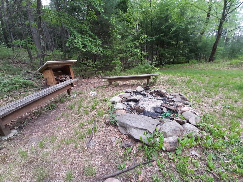
The warmest part of the event, both literally and figuratively, is the bonfire held at The Landing, a central gathering point within the trail system. Hot drinks and pinecone bird feeder crafts for kids make it feel genuinely festive rather than just educational. It is the kind of local event that reminds you how much a community can care about the land it has chosen to protect.
Hidden Surprises Along the Trails
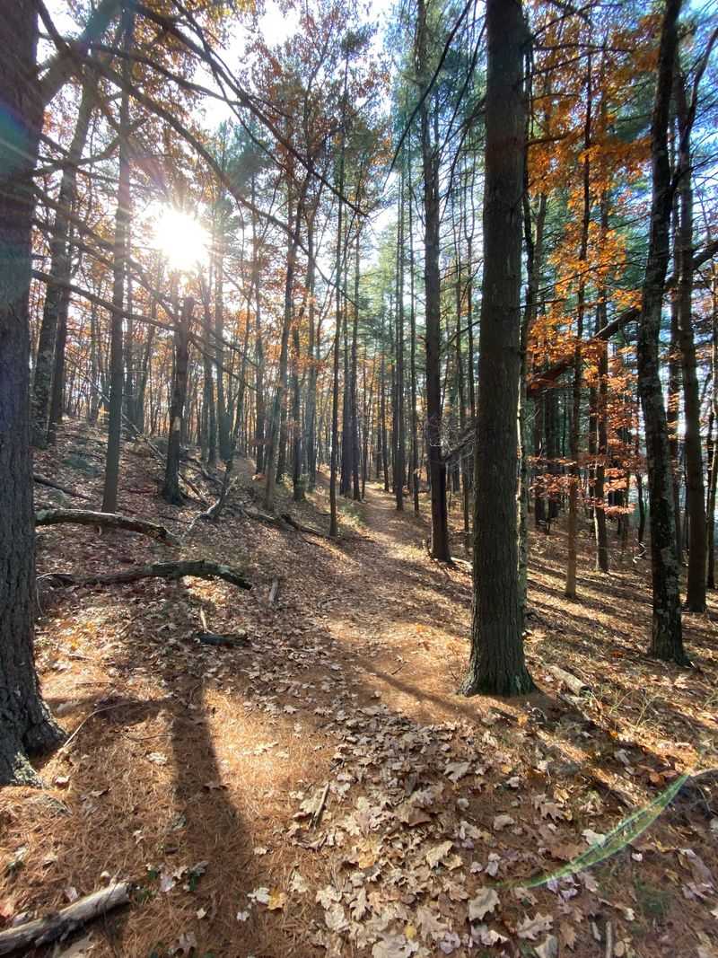
Part of what makes the Musquash so rewarding to explore repeatedly is that it holds small surprises tucked away from the main paths. The most talked-about oddity is an old rusted car sitting partially submerged in the swamp along the Heron Trail. Nobody seems to know exactly how it got there, which is precisely what makes it so interesting. It sits quietly in the muck, slowly being reclaimed by the wetland around it.
There is also a natural spring somewhere deeper in the conservation area that flows year-round. It is not marked on any trail map and has no signage pointing toward it, making it the kind of discovery that rewards explorers who wander off the established routes with purpose and curiosity.
Mushrooms are another unexpected highlight. The forest floor is thick with them throughout the warmer months, clustered along fallen logs and trail edges in varieties that range from delicate and pale to bold and deeply colored. They appear with enough frequency and variety that even people with no particular interest in fungi find themselves stopping to look, photograph, and wonder.
How the Conservation Commission Keeps It All Running
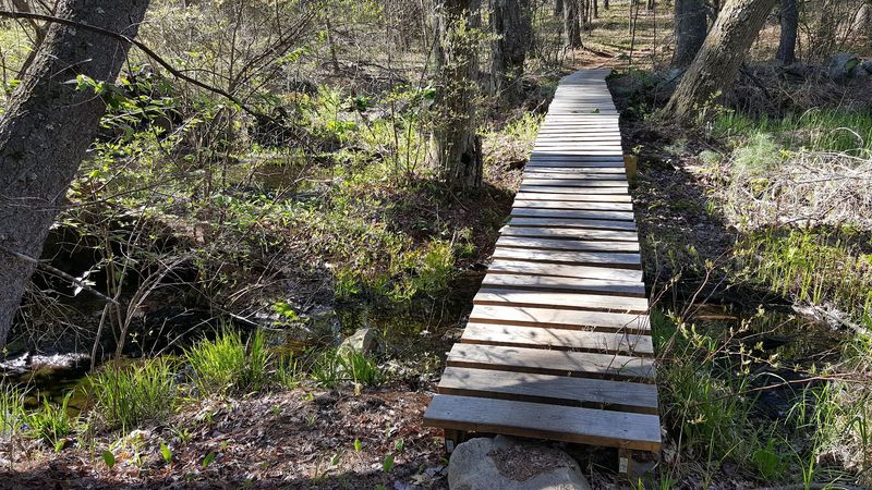
The Musquash Conservation Area does not maintain itself, and the people behind its upkeep deserve real recognition. The Londonderry Conservation Commission, working alongside the volunteer organization Londonderry Trailways, oversees everything from routine trail clearing to bridge construction over wet areas. Their work is what keeps more than 20 miles of trails accessible, safe, and clearly marked throughout the year.
A significant milestone in the area’s growth came in 2017 when the town received a $400,000 grant from the New Hampshire Department of Environmental Services through its Aquatic Resource Mitigation program. That funding allowed the permanent conservation of two additional parcels totaling 149 acres adjacent to the existing preserve, specifically to support the recovery of the state-endangered New England Cottontail. The addition brought the contiguous protected land to approximately 1,550 acres.
When you factor in the neighboring Litchfield State Forest and New Hampshire Fish and Game land, the total protected zone extends well beyond 2,000 acres. That scale of protection does not happen without sustained community effort, and every well-placed trail sign or freshly repaired bridge is evidence of people who genuinely care about keeping this place intact.
Practical Tips for Getting the Most Out of Your Visit
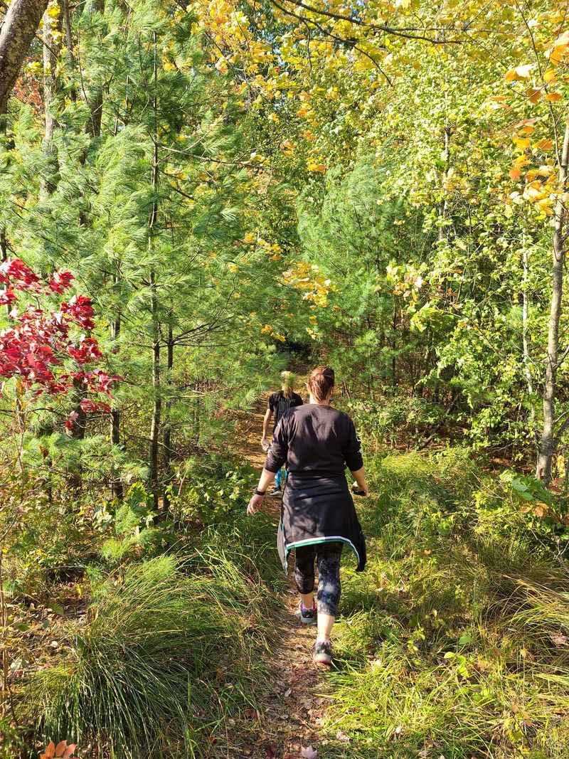
A few practical details can make the difference between a great visit and a frustrating one. The Hickory Hill trailhead is the most popular entry point and now has a proper parking lot, but it fills up on weekend mornings. Arriving before 9 a.m. on Saturdays gives you the best chance of finding a spot. Weekday visits are quieter across the board.
Bug spray is non-negotiable from late spring through early fall. The wetlands create ideal conditions for mosquitoes and biting flies, and even a September visit can bring surprisingly persistent insects. Downloading the trail map through the Avenza Maps mobile app before you leave home is a smart move, since cell service can be unreliable in the deeper sections of the preserve.
Strollers are not a good fit for most of the terrain here, given the roots, rocks, and muddy stretches. During fall hunting seasons, wearing a bright orange layer is strongly recommended, as hunting is permitted in designated parts of the area. Bring more water than you think you need, tell someone your planned route, and plan to stay longer than expected because this place has a way of making time disappear.
Share this story