You know that feeling when a dirt pullout on the side of the road turns out to be the start of something unforgettable? I never expected a muddy lot in Oregon to lead to sea stacks, a waterfall, and a cove that felt like my own.
Most travelers whiz right past it on the way to somewhere louder. Locals are fine with that, and after one visit, you will understand why.
A Beach That Hides in Plain Sight
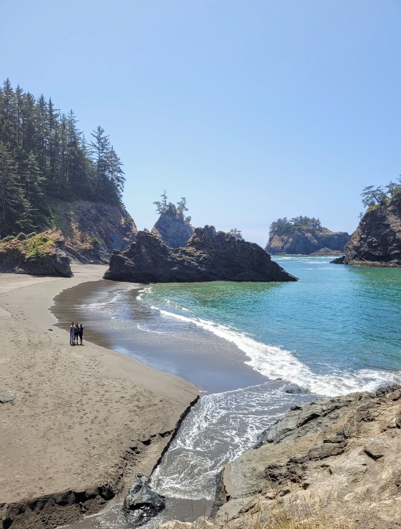
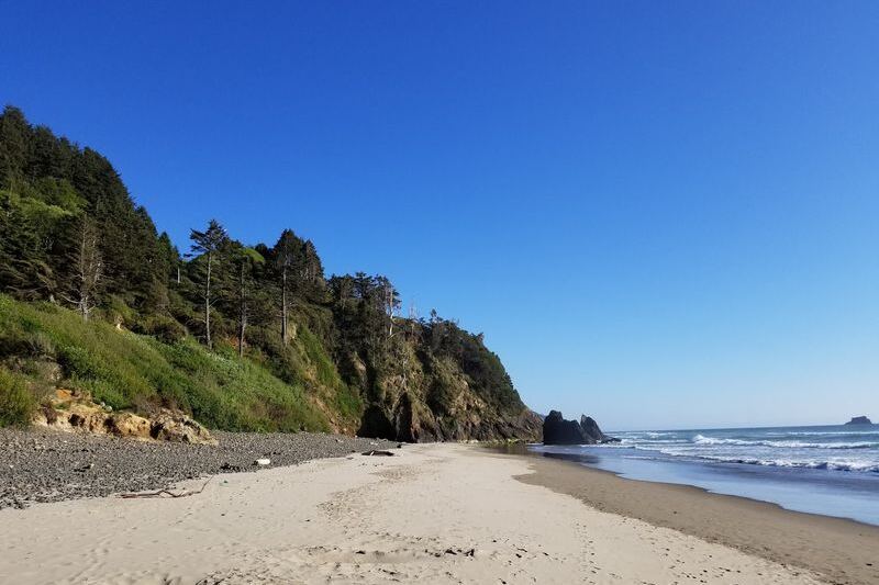
Blink and you will drive right past it. Secret Beach sits along the Samuel H.
Boardman Scenic Corridor near Brookings, on the far southern Oregon coast.
It is a small cove tucked below high cliffs, reached by a short trail from a dirt pullout beside the highway. There are no signs shouting its name and no ticket booth waiting at the gate.
Visitors describe it as quiet, secluded, and a little bit magical. One group of regulars who have explored the Oregon coast for over 25 years calls it a favorite.
That is high praise from people who have seen plenty of shoreline.
If you like your beaches without a crowd and with a bit of mystery, this is the one to put on your list.
Why the Name Is Only Half the Story
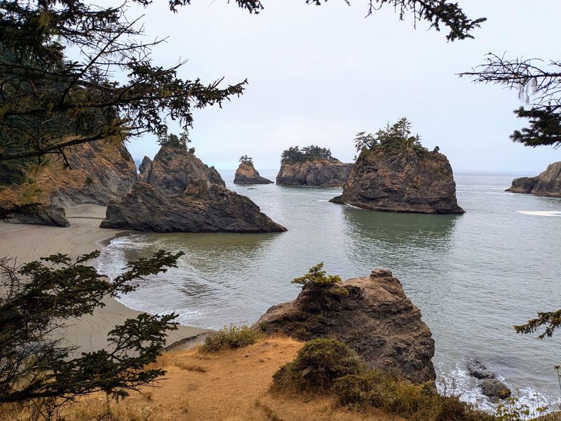
Here is a fun twist: a secret that thousands of people know is still a little bit secret. Some visitors say social media has made the beach popular, and a few found it busier than the name suggests.
Others spent hours here and saw only three other people. Timing, weather, and tide make all the difference.
The beach is not an officially designated public beach, so expect a wild, unpolished feel. That rough edge is part of the charm for many Oregonians.
Go on a weekday or in the quieter off-peak months, and the name starts to feel honest again. Come in a foggy winter hush, and you may feel like the only person on the coast.
Finding the Unmarked Trailhead
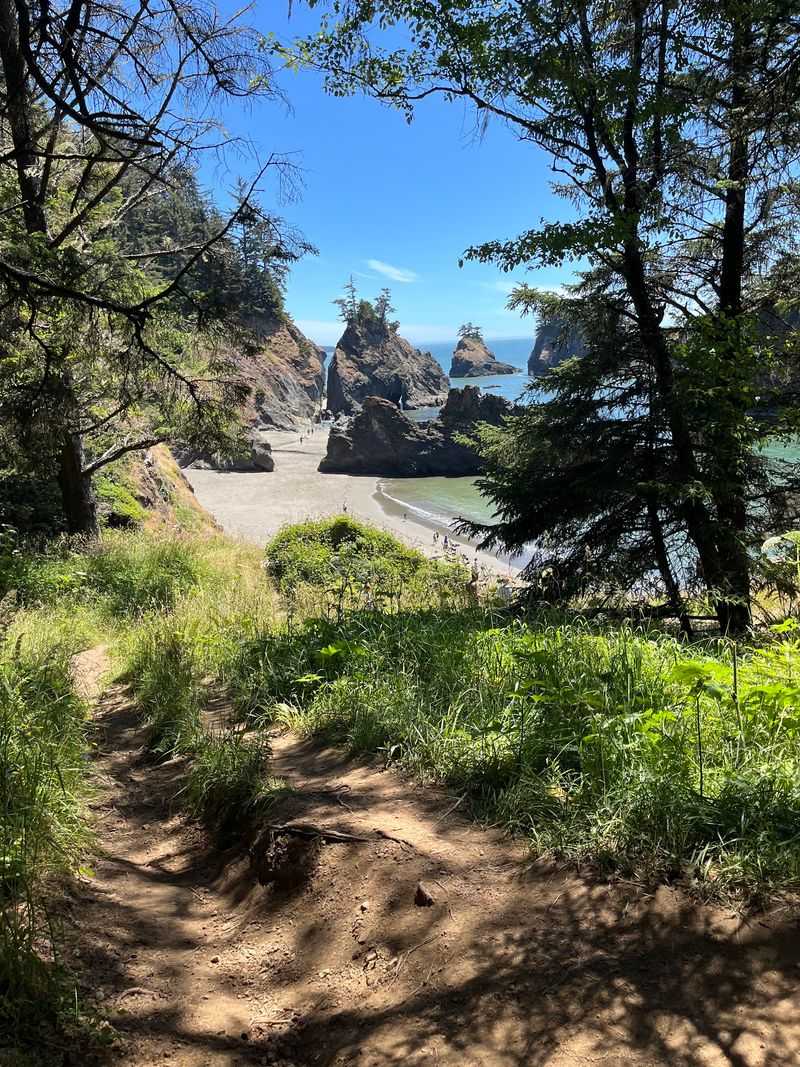
Step one is the hardest: finding it. The trailhead is unmarked, so one longtime visitor suggests letting Google Maps lead the way.
Another traveler parked at Spruce Point, walked left to the end of the lot, and found a sign for Secret Beach. From there, follow the dirt path along the road, then turn right away from it.
There is also a shorter route. A small pullout just north of the bridge over Miller Creek, about 0.3 miles north of the main trailhead, has a path at its far northern edge.
Visitors say it reaches the beach in about 5 to 10 minutes, instead of roughly 30.
Skip the southern path at that pullout, since it does not really go anywhere.
Steep, Short, and Full of Roots
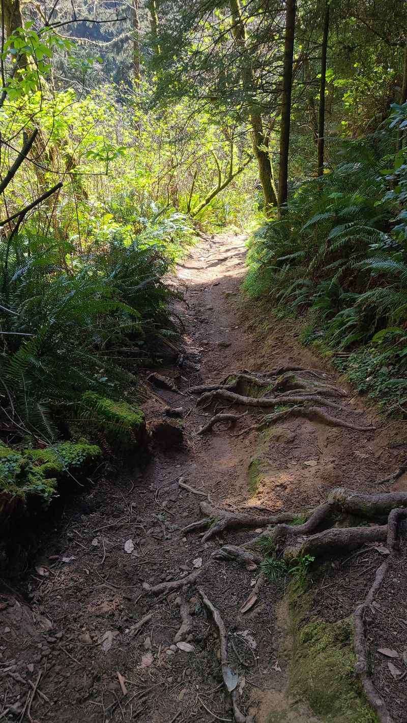
Tree roots grab at your boots like they want you to stay a while. The hike down is short, but visitors agree it is steep in places.
Opinions vary. Some call it moderate, and one family watched a 4-year-old run circles around them.
Another group made the trip with five kids.
Others found it tougher, calling it a young person’s trail. The path can be narrow, and a few spots have drop-offs.
Grippy shoes matter here, and a walking stick could help. Take your time, plan each step, and keep the pace relaxed.
One more tip from a hiker who wandered off course: take the same path back. Side trails branch off in all directions.
The Waterfall Bonus Round
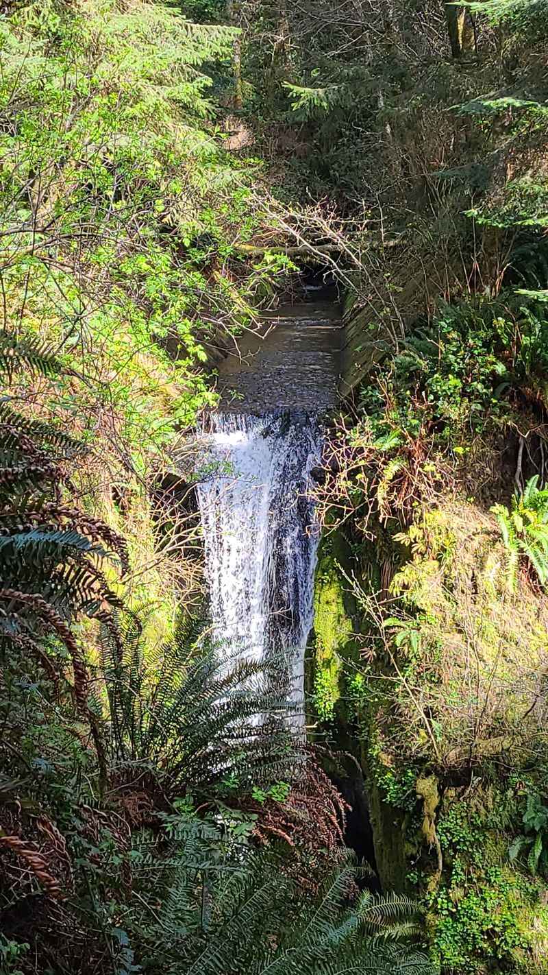
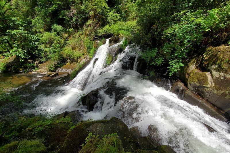
Nobody mentioned a free waterfall, yet here it is. Visitors bring it up as often as the beach itself, and it adds a lush, almost tropical feel to the walk.
One happy beachgoer who spent hours here said the waterfalls were a highlight. Water trickles over green cliffs and slips toward the sand.
Wet ground is part of the deal, though. One hiker slipped near the waterfall area and was hurt, and the parking area was muddy while the trail was dry but broken in spots.
Treat the waterfall as a scenic pause rather than a place to hurry. Slow steps, good soles, and a camera ready will serve you well.
The Rock Scramble at the End
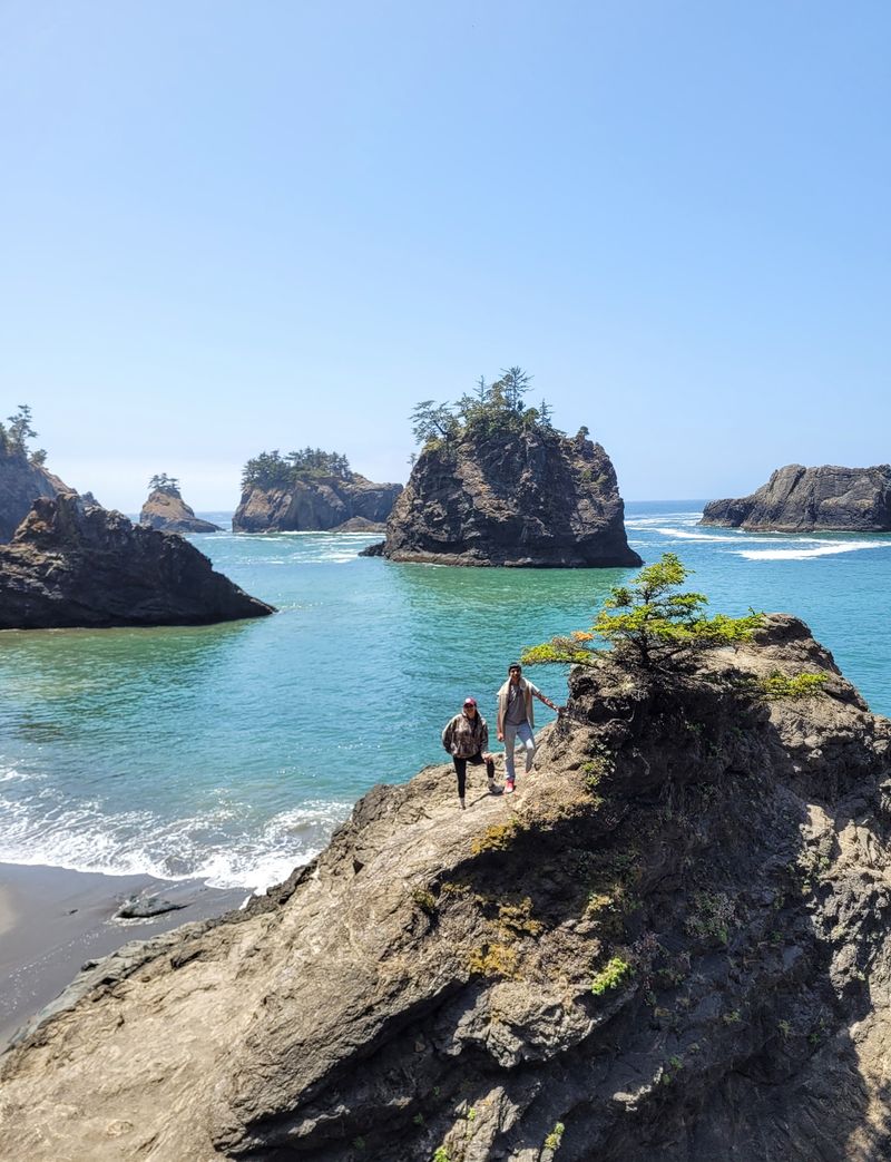
The final stretch asks for a little scrambling. Near the end of the trail, you climb down the face of a rock to reach the sand, roughly 20 feet by one visitor’s estimate.
It is not a technical climb, but it gets slick when wet. Some kids tackled it easily, while a few adults decided to skip it.
Here is the good news: you do not have to climb down to enjoy the views. Many people say the overlooks from the trail are among the best on the southern Oregon coast.
If your balance feels shaky or the rock is damp, stay up top and soak it in. The cliff edge view is still a winner.
Reading the Tide Like a Local
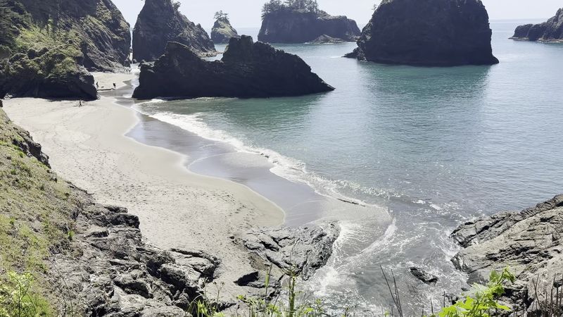
Tide is the word reviewers use most, and for good reason. Low tide opens up the beach, lets you walk the sand, and reveals more of the coves.
High tide or rough seas can shut that door. One visitor warned that you can be stranded by tide changes, and another skipped the furthest land bridge point during king tides.
Check a tide chart before you leave home. Aim to arrive as the water drops, and leave plenty of time to climb back up.
One couple who went at low tide strolled the beach, relaxed for a while, and saw only three other people. That is the dream scenario, and it starts with a quick look at the tide table.
Sea Stacks, Cliffs, and Trees on Top of Rocks
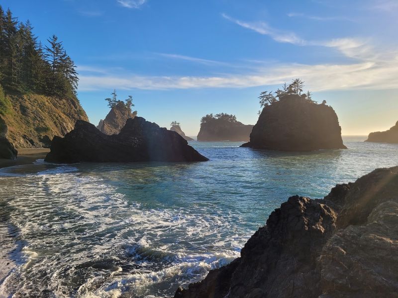
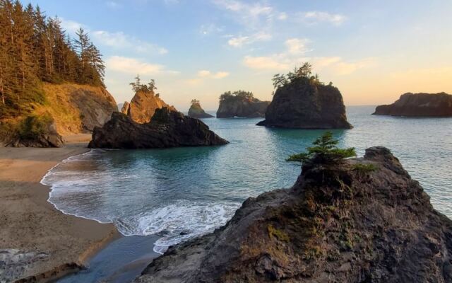
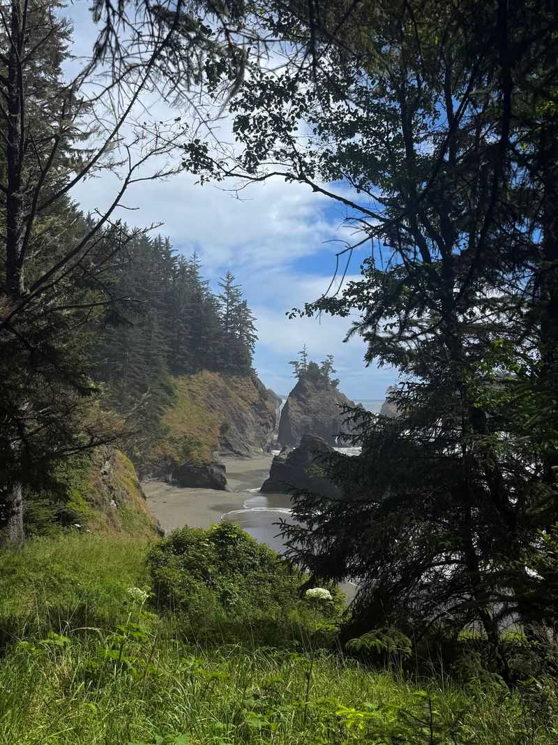
Trees growing on top of rocks in the ocean look like a gardener’s dare. That scene is the first thing many visitors notice at Secret Beach.
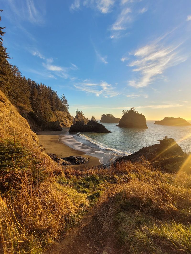
High cliffs wrap around the cove, and large boulders dot the shore. Dramatic sea stacks stand offshore, creating a view that photos struggle to capture.
One visitor said pictures do not do it justice. Another called it almost other-worldly.
The scenery shines in any weather, according to one hiker, and sunset draws strong reactions. A couple said the golden light brought tears of joy.
Bring a camera, but also give yourself a minute to just look.
Seals, Otters, and Other Neighbors
Fifty is where one visitor stopped counting. On a past trip, the area had a shockingly high number of otters, seals, and sea lions.
You may not see that many, but seals come up often in visitor stories. One hiker watched them swimming below the rocks.
Another suggests climbing a bit higher on the right side of the trail for more dramatic views. From there, you may spot another hidden beach with plenty of seals lounging about.
Keep your distance and bring binoculars if you have them. These neighbors were here first, and they do not care about your photo.
Thunder Rock Cove and the Left Fork
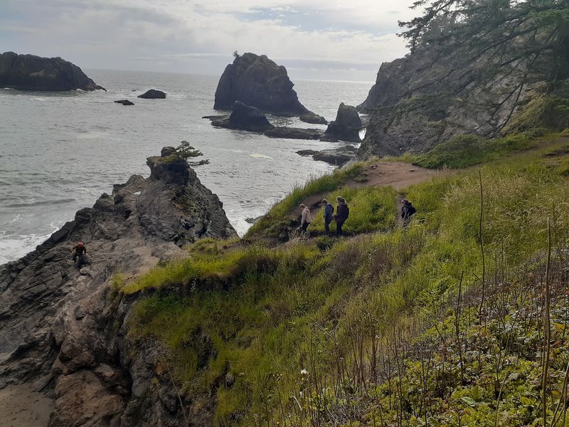
Take a left at the fork and the day changes. Instead of heading down to the beach, the trail climbs to Thunder Rock Cove.
One visitor described a view of more than 200 degrees across the Pacific. It is an easy way to enjoy the coast without any rock scrambling.
This option suits anyone who wants the big view without the tough descent. It is also a nice add-on if the tide is too high for the sand.
Visitors say the scenery here feels wide open and humbling. Stand at the edge, breathe the salt air, and let the horizon do the talking.
Planning Your Visit and a Gentle Verdict
Pack light, because there are no services of any kind. Visitors say there are no trash cans, no restrooms, and only an unimproved dirt lot beside the highway.
Bring a small day pack with water, wear shoes with good grip, and carry out everything you bring. Skip the visit when the trail is wet and muddy.
Is it worth it? Most visitors say yes, with strong praise for the views, peace, and quiet.
A few felt it was overhyped or too tricky.
For a full beach day, look elsewhere. For a short, scenic adventure on the Samuel H.
Boardman corridor, Secret Beach earns its place.
Share this story