There is a trail in southwest Oklahoma that will make you question your life choices about halfway through and then reward you so completely that you forget every struggle the moment you reach the creek. The boulders here are not decorative.
They are massive, ancient, and stacked in ways that seem almost deliberate, as if some giant arranged them just to see how determined you really are. The trail runs 2.4 miles through granite gorges, scrambling terrain, and creek crossings that will likely soak your boots.
Post Oak Waterfall waits near the midpoint like a quiet prize for those who push through the confusion of unmarked paths. This is one of Oklahoma’s most underrated and genuinely thrilling hikes, and every step of it earns its reputation.
Where the Trail Begins: Location and Access
The trailhead for Charon’s Garden Trail sits within the Wichita Mountains Wildlife Refuge near Indiahoma, Oklahoma 73552, in the southwestern corner of the state. Getting there already feels like an adventure, because the drive through the refuge winds past open prairie, grazing bison, and rust-colored granite outcrops that rise without warning from flat land.
The parking area near the Elk Mountain Trailhead serves as a common starting point, and many hikers begin from the north side of the trail system. The address and entrance fall within the broader refuge boundaries managed by the U.S.
Fish and Wildlife Service.
Cell service is limited, so downloading an offline map from AllTrails or Google Maps before you arrive is not optional, it is essential. The trail is not heavily signed, and the terrain can make it easy to veer off course without a reference point.
Plan to arrive early, especially on weekends, because parking fills up faster than you might expect. The drive out to the refuge from Lawton takes roughly 30 to 40 minutes, and the scenery along the way sets the mood perfectly for what waits at the trailhead.
The Granite Gorges That Define the Whole Experience
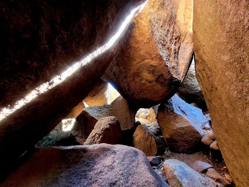
The gorges along this trail are the main event, and no photograph fully captures what it feels like to stand between walls of ancient granite that rise on both sides of a narrow corridor. The rock here is old in a way that registers physically, almost like the landscape is reminding you of your own small scale.
These formations are part of the Wichita Mountains, some of the oldest exposed rock in North America, with granite dating back more than 500 million years. The gorges were shaped over millennia by water, pressure, and erosion, and the result is a series of tight passages that funnel hikers through dramatic natural architecture.
Light behaves differently inside the gorges. In the morning, shafts of sunlight cut through at angles that make the lichen-covered walls glow orange and gold.
By midday the shadows shift, and the whole corridor takes on a cooler, more sheltered feel.
The gorges also amplify sound, so the trickle of a distant creek or the rustle of a lizard across rock carries farther than expected. Every turn through the granite feels like a small reveal.
Boulder-Hopping: The Trail’s Most Demanding Stretch
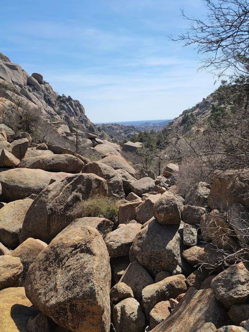
Calling this trail difficult is not an exaggeration or a warning meant to discourage casual visitors. The boulder field sections require actual hands-and-feet scrambling, balance, and a willingness to problem-solve your way across terrain that does not follow any obvious path.
The boulders range from knee-high to house-sized, and they are stacked and scattered in configurations that demand constant attention. There is no rhythm to the footing here.
Each step requires a fresh assessment of where your weight should land and whether the surface is stable.
Hikers who have tackled trails across the American Southwest often rank this stretch among the more physically demanding they have encountered, not because of elevation gain, but because of the sustained concentration required. Your legs will feel it, but your brain will feel it more.
Good footwear is non-negotiable. Trail runners with grippy soles work well, but sturdy hiking boots with ankle support are even better for the uneven landings.
Trekking poles can help in the boulder field, though there are sections where you will need both hands free for scrambling.
Post Oak Waterfall: The Hidden Reward
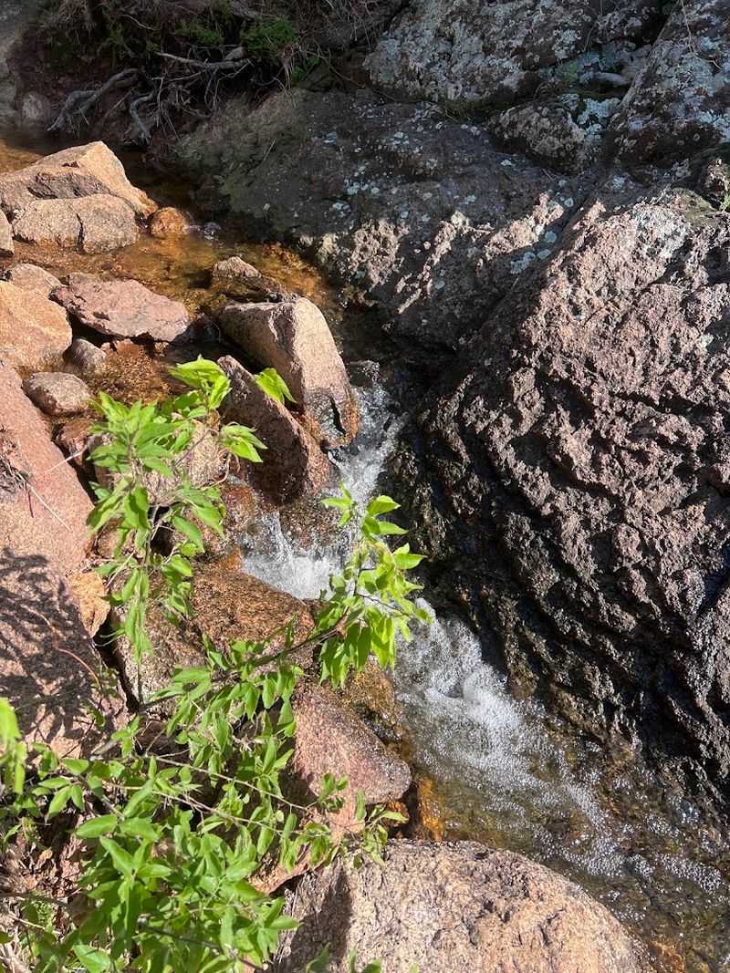
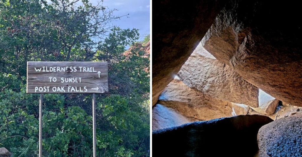
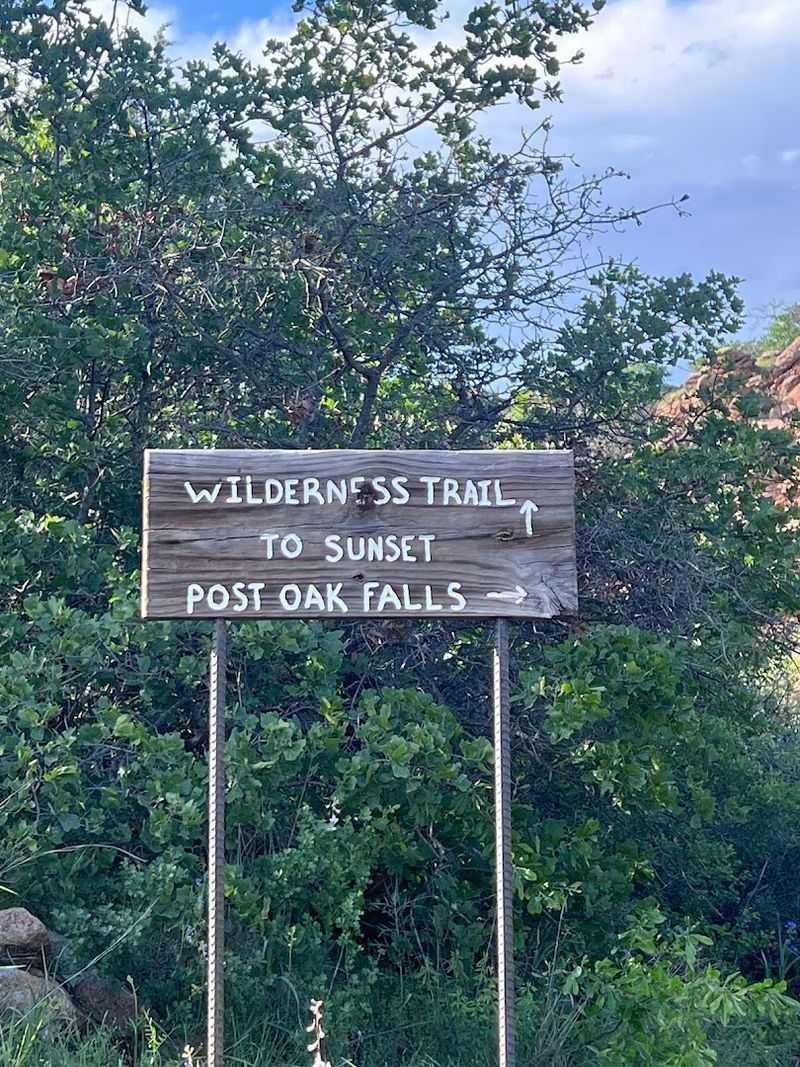
About halfway through the trail, a right turn on the map leads to something most hikers would not expect to find in Oklahoma: a genuine waterfall tucked behind post oak trees and framed by granite slabs. Post Oak Waterfall is not a roaring cascade, but it does not need to be.
The scale is intimate. Water moves over layered rock in a way that feels almost choreographed, and the surrounding trees and boulders create a natural amphitheater that muffles outside noise and makes the spot feel genuinely secluded.
On a warm afternoon, the mist from the falls is a small mercy.
The waterfall is best visited after recent rainfall, when the flow is stronger and the surrounding rock takes on a deeper, richer color. During dry spells it can slow to a trickle, but even then the setting is worth the short detour.
Many hikers miss it entirely because the trail markings do not clearly signal the turn. Keeping your map open on your phone and watching for the fork around the midpoint of the trail is the most reliable way to make sure you do not walk past one of the hike’s best moments.
The Creek at the Bottom: A Moment Worth Every Step
From the top of the boulder field near the start of the trail, you can see the creek below, threading through the canyon like a silver line. Reaching it takes effort, patience, and a few moments of wondering whether the trail is still under your feet.
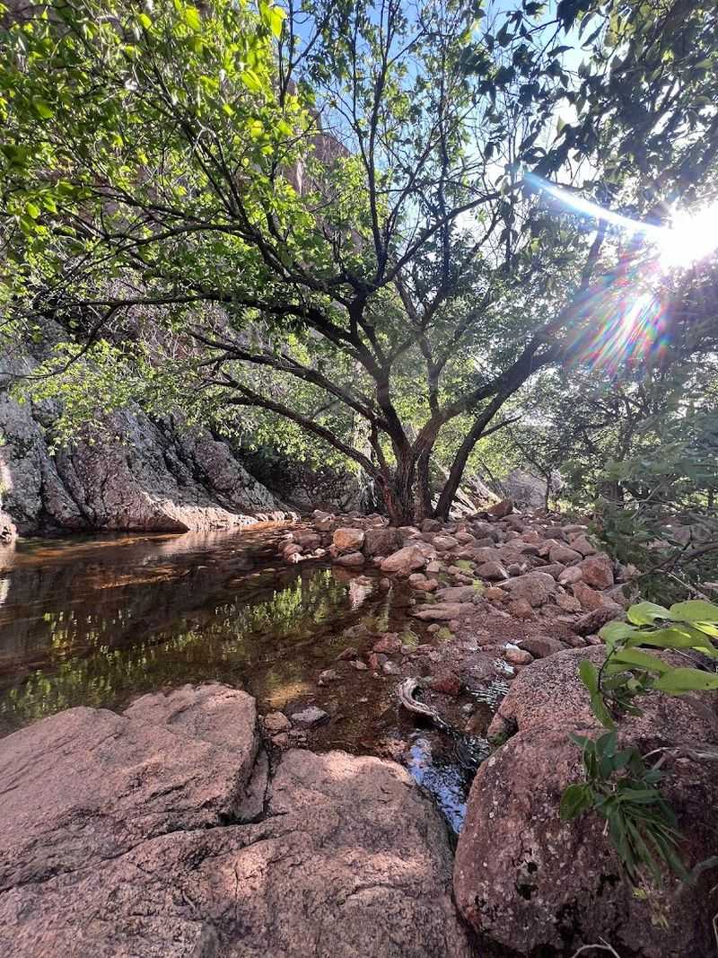
When you finally get there, the creek delivers exactly what it promised from a distance. The water is clear and cold, moving quietly over smooth granite and collecting in small pools between the rocks.
After the physical effort of the boulder sections, sitting beside that creek feels like a reward that was properly earned.
The creek also marks a natural rest point where hikers tend to linger. Shoes come off, snacks come out, and the general mood shifts from determined to satisfied.
Wildlife is common near the water, including lizards sunning on the rocks and birds moving through the canopy overhead.
The creek crossing itself can get your boots wet depending on the season and recent rainfall. Waterproof footwear helps, but if you accept early on that your feet might get damp, the crossing becomes less of an obstacle and more of a feature.
It is a fitting end to a trail that never lets you get too comfortable.
Wildlife and Scenery Along the Route
The Wichita Mountains Wildlife Refuge is one of the last places in the country where American bison roam freely across open land, and the drive to the trailhead often includes a close encounter with a herd crossing the road at their own pace. The trail itself brings a different cast of wildlife.
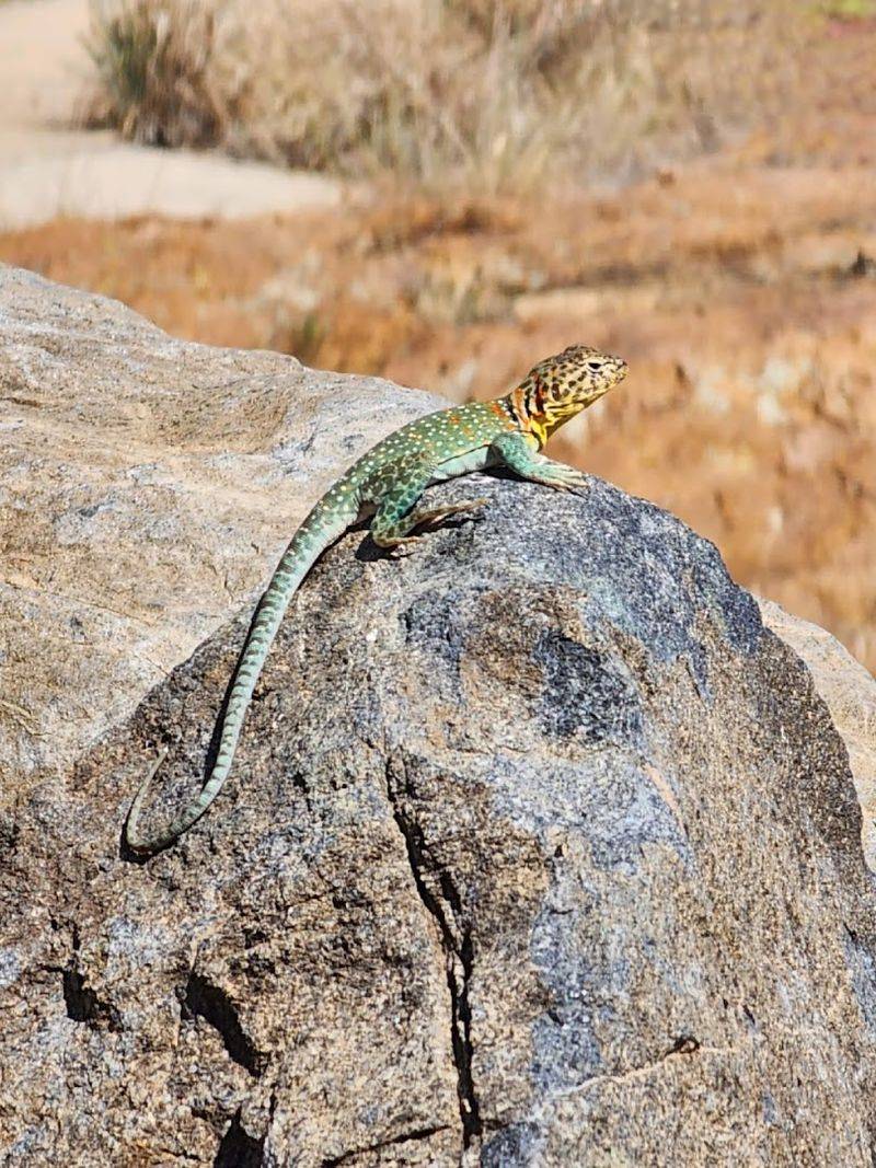
Lizards are everywhere on the rocky terrain, darting between boulders with speed that seems disproportionate to their size. Scissor-tailed flycatchers, painted buntings, and red-tailed hawks are common overhead depending on the season.
White-tailed deer occasionally appear in the oak thickets near the creek.
The vegetation shifts noticeably as the trail descends through the gorges. Post oak, blackjack oak, and Texas persimmon grow in clusters between the boulders, and in spring the wildflowers add color to the otherwise stone-dominant landscape.
Indian paintbrush and prairie verbena are common from March through May.
The refuge as a whole supports one of the most diverse ecosystems in Oklahoma, and the trail passes through a concentrated version of that variety. Every section of the hike offers something different to notice, and slowing down to look around pays off more than pushing through quickly ever could.
Trail Difficulty and What to Realistically Expect
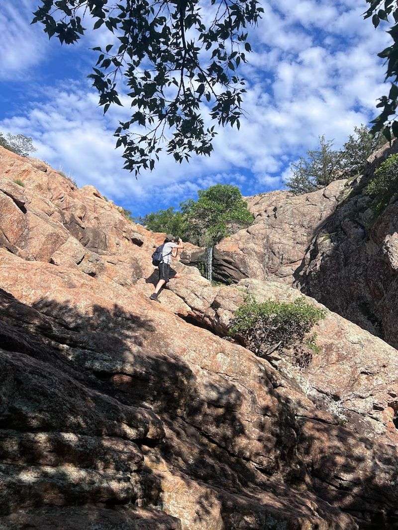
The official rating for Charon’s Garden Trail is difficult, and that label is accurate rather than cautious. The 2.4-mile distance is shorter than many challenging hikes, but the terrain makes up for the modest mileage with consistent physical and mental demands from start to finish.
Expect scrambling, loose rock, route-finding challenges, and stretches where the trail simply disappears into a field of boulders. The elevation changes are not extreme by mountain standards, but the constant up-and-over movement across the rock adds cumulative fatigue that surprises hikers who judge difficulty by mileage alone.
Children who are comfortable on uneven terrain and have some hiking experience can handle it with proper supervision, but it is not a good choice for very young kids or anyone with knee or ankle issues. The scrambling sections require mobility and confidence on unstable surfaces.
Allow two to three hours for the full trail, more if you plan to visit Post Oak Waterfall and spend time at the creek. Rushing through the boulder field increases the chance of a misstep, and the trail rewards patience.
The hikers who enjoy it most are the ones who treat the terrain as part of the experience rather than an obstacle between start and finish.
Navigation Tips and Trail Markings
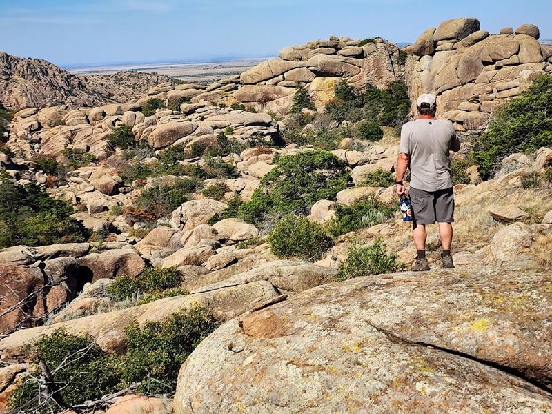
Navigation on this trail is genuinely tricky, and that is not said to be dramatic. The boulder field sections erase any clear path, and the sparse trail markers leave long gaps where hikers have to rely on instinct, map data, or a combination of both.
Downloading the trail from AllTrails before leaving home is the single most useful preparation step. The GPS track stays reasonably accurate even with limited cell service, and having a visual reference for where the trail is supposed to go makes the boulder field sections far less stressful.
The turn toward Post Oak Waterfall is easy to miss because it comes at a point where the terrain is already confusing. Watching your progress on the map and anticipating the fork at roughly the halfway point gives you a better chance of catching it before you walk past.
Several informal use trails branch off from the main route, created by hikers who wandered and others who followed them. Sticking to the downloaded track and cross-referencing with visible landmarks, like the creek below or the granite ridgeline above, keeps you oriented when the ground stops cooperating.
Getting briefly turned around is common, but getting truly lost is avoidable with a little preparation.
The Boulder Rooms: An Off-Trail Secret
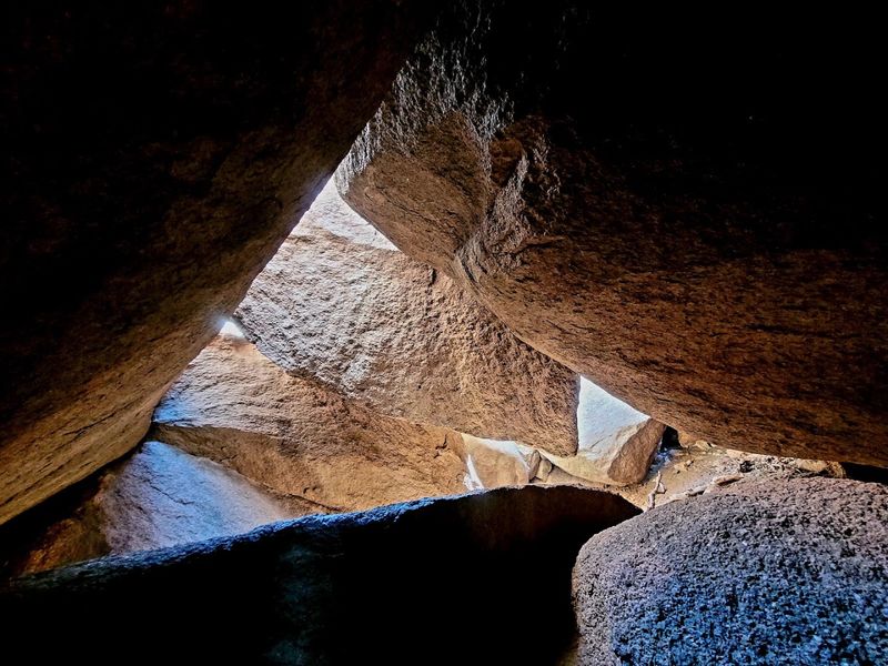
Just beyond the main trail, for hikers willing to leave the marked route and explore, the Boulder Rooms wait as one of the most unusual natural features in the Wichita Mountains. These are not rooms in any architectural sense, but rather large granite boulders arranged so closely together that they form enclosed chambers, tunnels, and passages you can actually move through.
The scale is what gets you. Some of the boulders forming the rooms are the size of small houses, and the spaces between them feel genuinely enclosed, with filtered light and cool air that make the interior atmosphere completely different from the open trail above.
Finding the Boulder Rooms requires either local knowledge or a detailed map, because they are not marked on standard trail signage. Asking at the refuge visitor center or checking community notes on AllTrails before your hike is the most reliable way to get accurate directions.
Hikers who make the detour consistently describe it as the highlight of the entire area, more memorable than the main trail in some ways because of the sense of discovery involved. The Boulder Rooms feel like something you were not supposed to find, which makes finding them feel all the better.
Best Times to Visit and Essential Gear
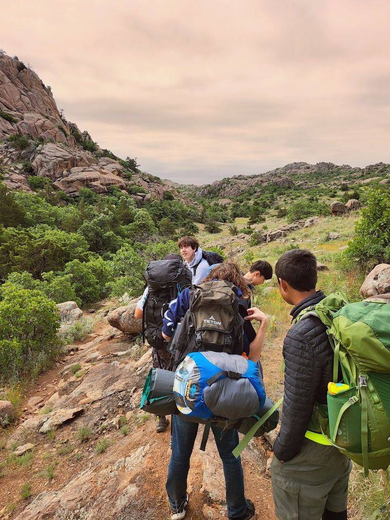
Spring and fall are the best seasons for Charon’s Garden Trail by a comfortable margin. From March through May, temperatures are mild, wildflowers are out, and the creek and waterfall run stronger after winter moisture.
September through November brings cooler air, fall color in the oaks, and less competition for parking.
Summer is technically possible but genuinely uncomfortable. Southwest Oklahoma heats up fast, and the granite amplifies that heat in ways that feel personal.
If summer is your only option, start before 7 a.m. and carry more water than you think you need. The trail offers almost no shade through the boulder field sections.
The essential gear list is short but non-negotiable. Sturdy footwear with good grip, at least two liters of water per person, sunscreen, and a downloaded offline map cover the basics.
A light day pack with a first aid kit and a snack adds comfort without bulk.
Trekking poles are worth bringing if you own them, though they become awkward in the tightest scrambling sections. Gloves are optional but appreciated by hikers who find themselves using their hands on the cold granite during early spring mornings.
Dress in layers and plan for the weather to shift at least once during your time on the trail.
Share this story