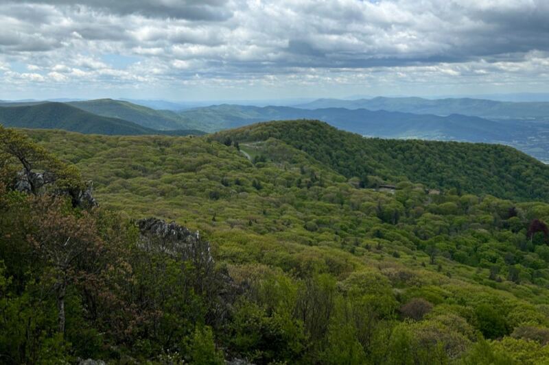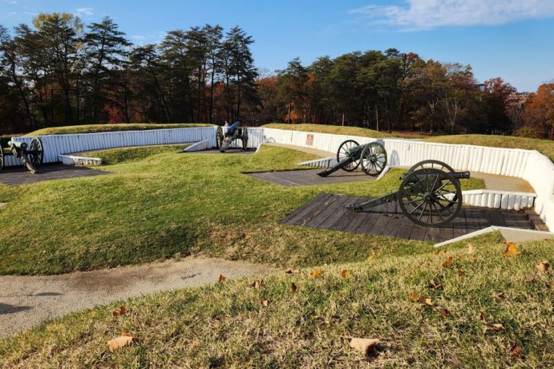
A paved trail stretching 52 miles through some of Virginia’s most historically rich landscapes sounds almost too good to be true. Yet every weekend, cyclists, walkers, and joggers set out along a route that passes former presidents’ homes, colonial plantations, wooden bridges, and osprey nests.
The scenery shifts constantly, from open farmland to shaded tree canopies, keeping every mile fresh and interesting. This trail is one of the most remarkable outdoor corridors on the East Coast, and most people outside Virginia have never heard of it.
What the Virginia Capital Trail Actually Is
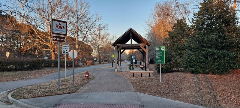
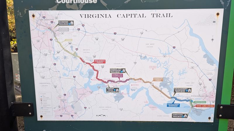
The Virginia Capital Trail is a 52-mile paved multi-use path that runs through the heart of historic Virginia. It connects the state capital of Richmond to the colonial settlement of Jamestown, following the scenic Route 5 corridor through Charles City County.
Managed as a public trail open to cyclists, walkers, joggers, and inline skaters, the path is entirely separate from vehicle traffic for most of its length. That alone makes it a rare find in the Mid-Atlantic region.
The trail opened in phases, with the full 52-mile route completed in 2015. Mile markers appear regularly along the path, helping users track their progress and plan rest stops.
Whether you ride the full length or explore just a section, the experience delivers a genuine mix of natural scenery and American history that is hard to match anywhere else on the East Coast.
The Route and Where It Begins
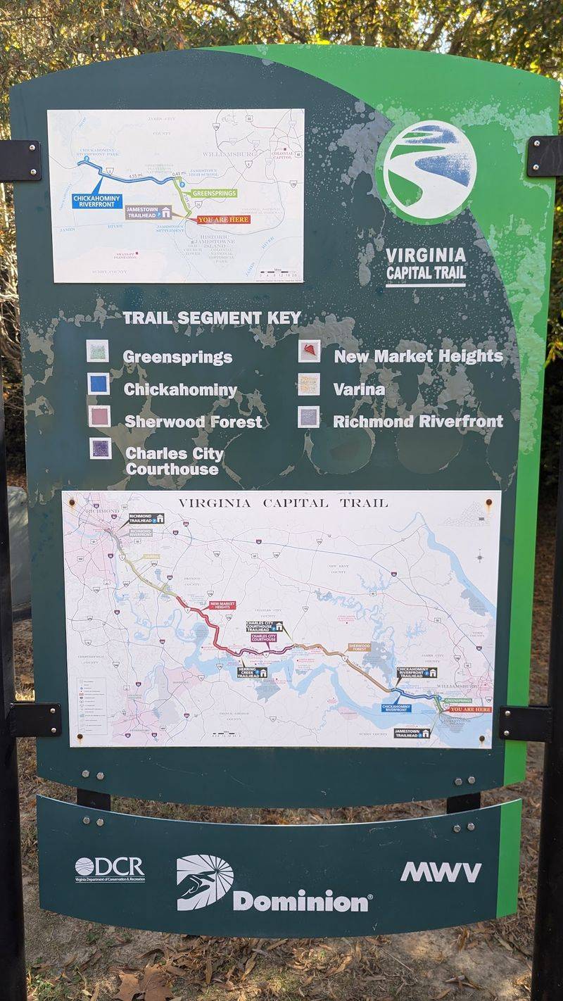
The northern trailhead sits in Richmond near the intersection of 18th Street and Dock Street, placing riders within easy reach of the city’s riverfront and historic Shockoe Bottom neighborhood. From there, the trail heads southeast, closely paralleling Route 5 through rural Virginia.
The southern end lands at the Jamestown Settlement parking area, which offers ample parking and easy access to the ferry and historic sites. Many riders choose to start at Jamestown and work northward toward Richmond, taking advantage of the slight elevation change that makes the return trip feel a bit easier.
Access points and parking areas appear at multiple spots along the route, including Chickahominy Riverfront Park, which sits roughly at the trail’s midpoint. This setup allows visitors to tackle the trail in manageable sections rather than committing to the full 52-mile distance all at once.
The Terrain and What Riders Can Expect
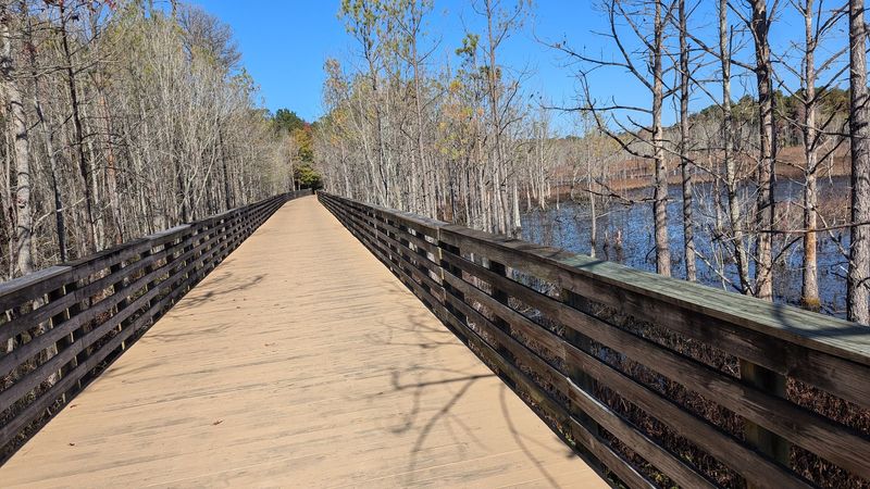
One of the trail’s biggest selling points is its surface quality. The pavement runs smooth for nearly the entire length, a detail that makes a real difference after several hours in the saddle.
Road cyclists on skinny tires feel just as comfortable here as mountain bikers who are used to rougher terrain.
The first 20 miles heading north from Jamestown are notably flat, making that stretch ideal for beginners or anyone looking for a low-effort outdoor outing. Between miles 20 and 35, mild rolling hills add a bit of challenge without becoming overwhelming for casual riders.
Some sections near tree roots show minor surface rippling, a natural consequence of the trail running through mature woodland areas. Overall, the maintenance level is solid.
Fall is widely considered the best season to visit, when cooler temperatures and vivid foliage combine to make every mile feel like a reward.
The Historic Landmarks Along the Way
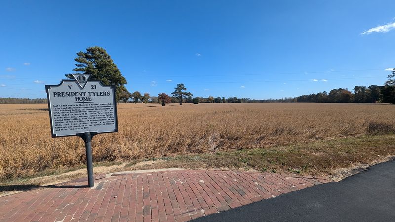
History lines almost every mile of this trail. The Route 5 corridor through Charles City County is one of the most historically dense stretches of road in the entire United States, and the trail runs right alongside it.
Riders pass near several colonial-era plantations, including Berkeley Plantation and Shirley Plantation, two of Virginia’s oldest and most significant historic properties. Berkeley Plantation is widely recognized as the birthplace of President William Henry Harrison and the site of the first official Thanksgiving celebration in 1619.
Historic markers appear frequently along the path, offering short explanations of events, people, and places connected to the colonial era and the Civil War. These markers give the ride a genuine educational dimension that transforms a simple workout into something much more meaningful.
History enthusiasts will find themselves stopping far more often than they originally planned.
Wildlife Encounters That Surprise First-Time Visitors

Wildlife watching along this trail is genuinely rewarding. The route crosses several waterways and passes through wetland areas where birds and animals appear with surprising regularity.
Osprey nests have been spotted on bridge supports, with adult birds returning to feed their chicks during nesting season.
Deer are common sightings along the wooded sections, particularly in the early morning hours when trail traffic is light. Birders find the trail particularly productive, with a mix of woodland songbirds, wading birds near the water crossings, and raptors overhead throughout the year.
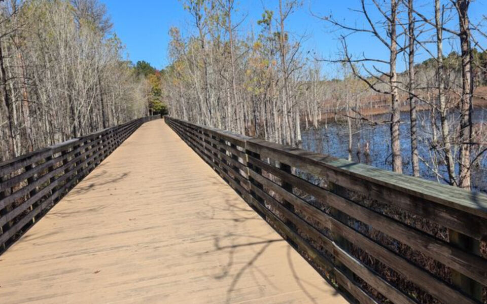
The Chickahominy River crossing offers one of the best wildlife viewing spots along the entire route. The wooden bridge provides an elevated vantage point over the river and surrounding marsh, making it worth slowing down and spending a few quiet minutes just watching the water below.
Nature here moves at its own unhurried pace.
The Wooden Bridges That Define the Experience
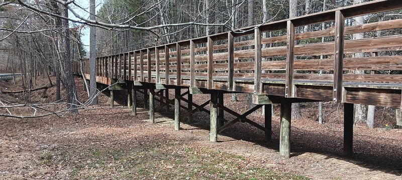
Several wooden bridges punctuate the Virginia Capital Trail, and they quickly become the landmarks that riders remember most vividly. Crossing them feels different from riding on open pavement.
The sound changes, the view opens up, and there is a brief sense of floating above the landscape.
The bridges vary in length and height, but each one frames a distinct view of the Virginia lowlands. Some cross small creeks tucked beneath dense canopy, while others span wider waterways where the sky opens up completely above you.
These crossings also serve as natural rest stops. Riders frequently pause mid-bridge to take photographs, check their mile markers, or simply catch their breath and take in the view.
The bridges are well-maintained and feel solid underfoot, whether you are crossing on two wheels or on foot. They add a genuine sense of adventure to what might otherwise feel like a straightforward ride.
Cycling the Full 52 Miles as an Overnight Adventure
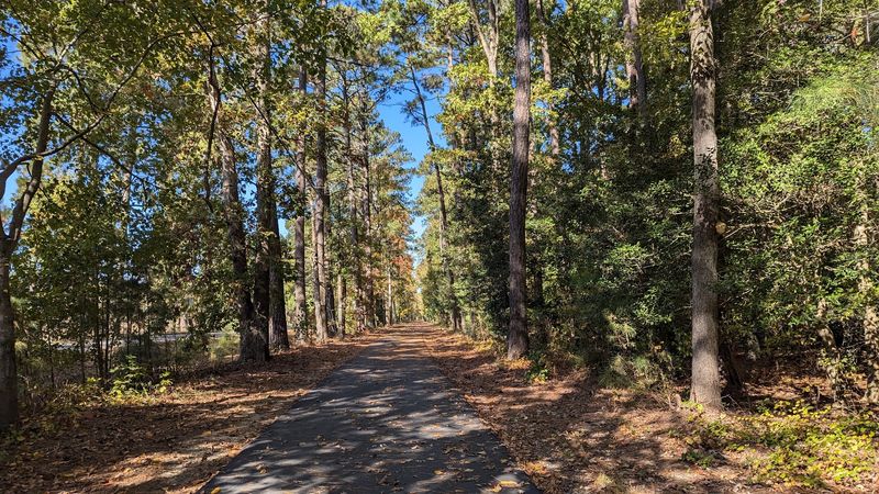
Completing the full 52-mile length of the Virginia Capital Trail in one go is a serious undertaking, but it is absolutely achievable for a reasonably fit cyclist. Some riders complete the distance in a single day, while others split the journey across two days with an overnight stay in the Williamsburg area.
The overnight option adds a completely different dimension to the experience. Riders leave Richmond in the afternoon, cover the first half of the trail, rest in Williamsburg or the surrounding area, and complete the remaining miles the following morning when the trail is quiet and the light is at its best.
A century ride out and back covering more than 100 miles is also possible for experienced cyclists using the trail as a training route. The consistent pavement quality and low vehicle traffic make it one of the safer long-distance cycling options in the Mid-Atlantic region.
What the Jamestown End of the Trail Offers
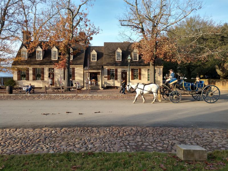
Arriving at the Jamestown end of the trail rewards riders with far more than just a finish line. The Jamestown Settlement and Historic Jamestowne sit within easy reach of the southern trailhead, giving visitors the option to extend their day with a deep look at the earliest permanent English settlement in North America.
The parking area at the Jamestown Settlement is spacious and well-organized, making it one of the more popular starting points for people tackling the trail from the south. The nearby Jamestown-Scotland Wharf Ferry also operates close to the trailhead, offering a scenic river crossing for those looking to extend their journey into Surry County.
The combination of finishing a long trail ride and then walking through the reconstructed fort and ships at the Jamestown Settlement creates a genuinely full day. Few trail experiences in Virginia pack this much history and outdoor activity into a single outing.
Riding Through the Richmond End of the Trail
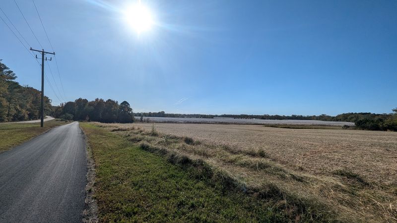
The Richmond end of the trail carries its own distinct energy. The northern trailhead places riders near the James River and within reach of Richmond’s riverfront parks, making it easy to extend the day with a walk along the floodwall or a stop at one of the city’s riverside spots.
The urban-to-rural transition happens quickly once you leave the trailhead behind. Within just a few miles, the city gives way to open farmland and quiet back roads, and the change in atmosphere is immediate.
The noise of traffic fades, the air shifts, and the pace of everything slows down.
Richmond cyclists use the trail regularly for training rides, taking advantage of the consistent surface and the absence of stop lights and intersections that interrupt city riding. For visitors arriving in Richmond who want to experience Virginia’s landscape beyond the city limits, this trail is the most direct and rewarding option available.
Chickahominy Riverfront Park as a Trail Hub
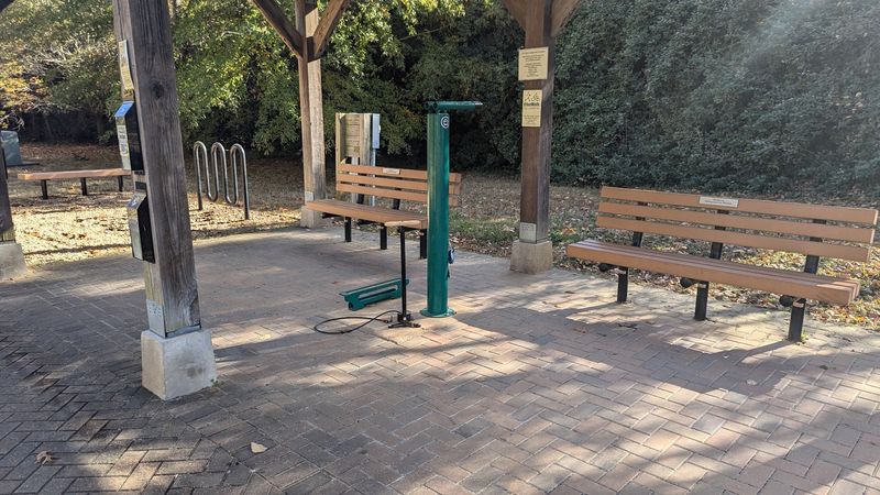
Chickahominy Riverfront Park sits near the midpoint of the Virginia Capital Trail and functions as one of the trail’s most practical and scenic stopping points. The park offers parking, restroom facilities, and open green space that makes it a natural place to rest before tackling the second half of the route.
The park also provides direct water access to the Chickahominy River, which feeds into the James River nearby. On weekends, the area around the park tends to draw families and groups who combine a trail ride with a picnic or some time near the water.
For riders completing a one-way trip and arranging a shuttle, the park serves as a convenient midpoint pickup location. Its position roughly halfway between Richmond and Jamestown makes it the most logical place to break the trail into two equal and manageable segments for those who prefer shorter outings.
Fall Colors and the Best Time to Visit
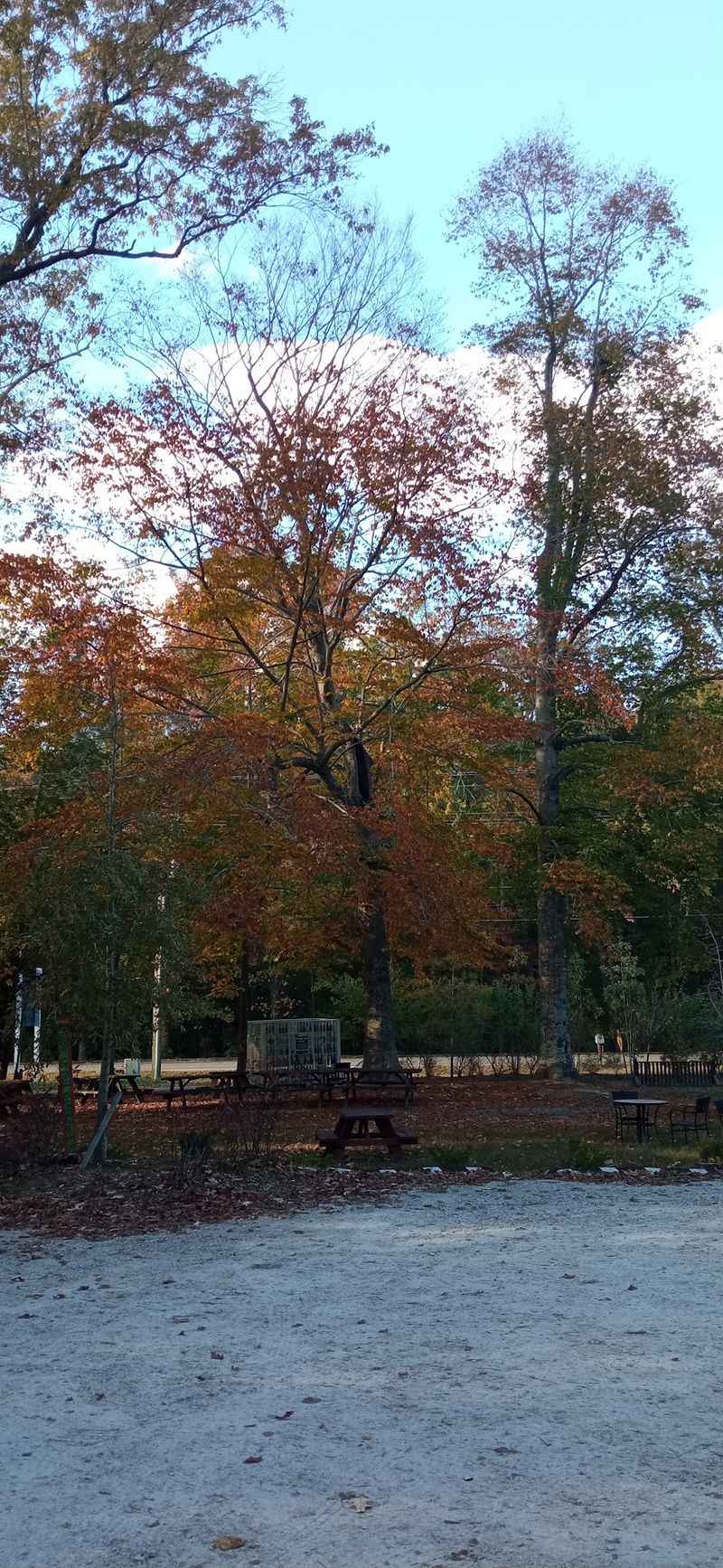
Fall transforms the Virginia Capital Trail into something genuinely spectacular. The tree canopy that shades much of the route shifts from deep summer green to a layered mix of orange, red, and gold, creating a tunnel effect in certain sections that feels almost theatrical.
Cooler autumn temperatures make the physical effort of riding or walking the trail far more comfortable than the humid Virginia summers. Many regulars specifically save their longest rides for October and early November when the conditions are ideal and the scenery is at its peak.
Spring is also a strong season, when wildflowers appear along the trail edges and migrating birds move through the area. Summer brings lush green shade but also heat and humidity that can make longer rides more demanding.
Winter visits are possible on mild days, and the bare trees actually open up views of the surrounding farmland that disappear behind foliage during warmer months.
Walking and Non-Cycling Uses of the Trail
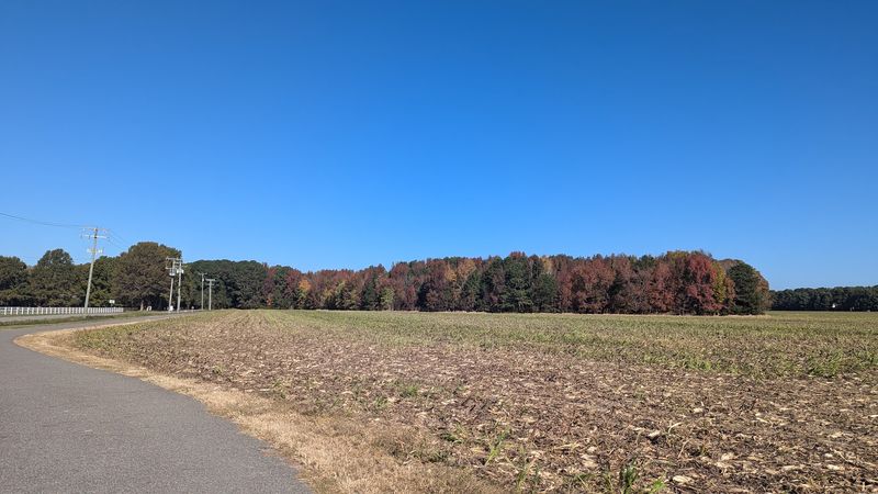
Cycling gets most of the attention, but the Virginia Capital Trail is genuinely welcoming to walkers, joggers, and runners as well. The smooth surface is easy on joints, and the absence of vehicle traffic makes it far more relaxing than sidewalks or road shoulders for pedestrian users.
Bird watchers find the trail particularly useful because the route passes through diverse habitats within a single outing. Woodland sections, open fields, wetland edges, and river crossings all appear along the path, each attracting different species depending on the season.
The trail is wide enough to accommodate multiple users comfortably in most sections, though the busier weekend stretches near access points can get congested. Trail etiquette matters here, with faster cyclists expected to signal when passing slower walkers.
Most users are respectful, and the overall atmosphere on the trail leans relaxed and community-minded rather than competitive.
Practical Tips for Planning Your Visit
Planning ahead makes a big difference on a trail this long. Water and snacks are essential, particularly because restroom facilities and food stops are limited along the rural sections of the route.
Carrying everything you need before leaving a trailhead is the smarter approach.
Mile markers appear regularly along the trail, making it easy to track your position and communicate your location to a shuttle driver or support vehicle. The markers run from zero at the Jamestown end to 52 near Richmond, so knowing your starting point helps avoid confusion when reading the numbers.
Bike rentals are available near the Williamsburg end of the trail for visitors who do not travel with their own equipment. Checking trail conditions before heading out is also worthwhile, particularly after heavy rain when some sections may have debris or standing water.
The trail is free to use and open year-round.
The Spoke and Art Stop Along the Route

One of the more talked-about stops along the Virginia Capital Trail is Spoke and Art, a small shop that sits directly on the route and serves as a rest point for riders looking for a snack, a cold drink, or a quick mechanical fix. Its location on the trail rather than off it makes stopping genuinely easy rather than a detour.
The shop has become a natural social hub where riders swap stories, check their gear, and refuel before continuing. Finding a place like this along a rural trail is not common, and its presence adds a welcome sense of community to what could otherwise feel like a solitary endeavor.
Whether you stop for a few minutes or linger longer, Spoke and Art represents exactly the kind of trail-side culture that keeps people coming back to a route. Small stops like this one make long rides feel less like endurance tests and more like genuine adventures.
Why This Trail Keeps Drawing People Back
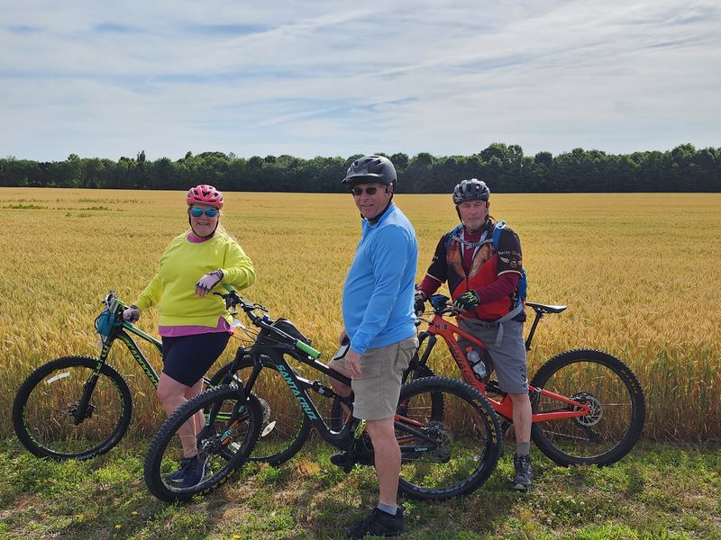
Most trails offer scenery or history. The Virginia Capital Trail offers both at the same time, layered together in a way that makes every visit feel different depending on the season, the pace, and how closely you pay attention to what surrounds you.
Regulars return because the trail rewards familiarity. A landmark you barely noticed on your first ride becomes a reference point on your fifth.
The osprey nest you spotted in spring is gone by winter, replaced by a different kind of quiet. The trail changes with the calendar in ways that keep it from ever feeling stale.
For visitors making a one-time trip to the Richmond or Williamsburg area, this trail offers a perspective on Virginia that no museum or guided tour can fully replicate. Riding or walking through this landscape puts you physically inside the history rather than simply reading about it from behind a rope line.
Share this story