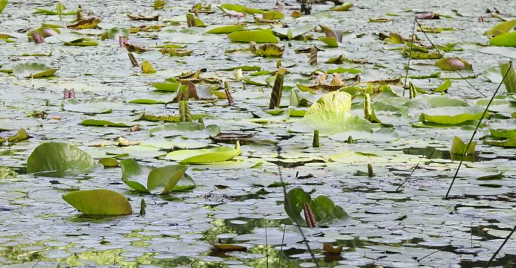
Most people think of Mississippi as flat farmland and small towns, but tucked into the southern part of the state is a forest that surprises nearly everyone who visits. White-sand beaches stretch along a clear, fast-moving river, surrounded by towering longleaf pines and the kind of quiet that feels almost impossible to find anymore.
The water runs cold and clean, the sandbars glow in the afternoon sun, and the whole scene looks more like something from the Florida Panhandle than the Deep South. Once you know this place exists, it becomes very hard to stay away.
What Is De Soto National Forest
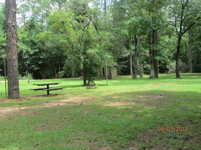
Not many forests in the South can claim both wild rivers and white-sand beaches, but De Soto National Forest pulls it off with ease. Managed by the U.S.
Forest Service, De Soto National Forest covers roughly 500,000 acres across several counties in southern Mississippi, making it one of the largest national forests in the region.
The forest is headquartered near the small community of Brooklyn, Mississippi, which sits in southern Forrest County. Brooklyn is part of the Hattiesburg metropolitan area, making De Soto surprisingly easy to reach from a mid-sized city.
The forest is divided into two ranger districts, the Chickasawhay and the Biloxi, each offering its own mix of trails, rivers, and recreation areas. Most visitors are drawn to the Bowie Creek and Leaf River corridors, where the scenery shifts quickly from dense pine canopy to open sandy riverbanks.
The Longleaf Pine Legacy
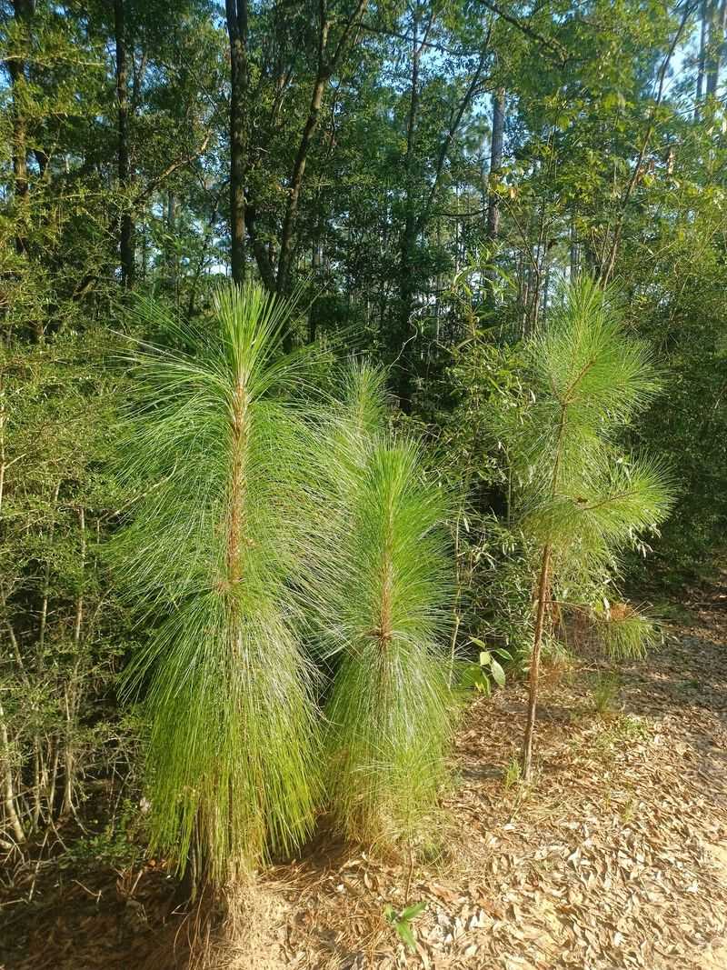
Before European settlers arrived, longleaf pine forests covered nearly 90 million acres across the southeastern United States. De Soto National Forest is one of the places actively working to bring those forests back.
The longleaf pine ecosystem is one of the most biodiverse in North America, supporting hundreds of plant and animal species that depend on its open, fire-maintained canopy.
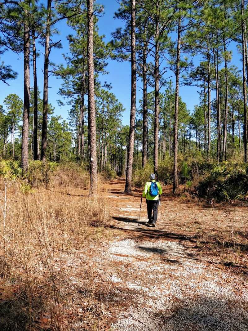
Walking through a mature stand of longleaf pines feels different from any other forest. The trees are tall and straight, the understory is open, and the light filters down in long golden shafts that make the whole place feel almost cathedral-like.
Restoration efforts in De Soto have reintroduced prescribed burns, which mimic the natural fire cycles that longleaf forests need to thrive. The results are visible throughout the forest, where younger longleaf seedlings push up through the sandy soil with surprising determination.
The Leaf River Corridor
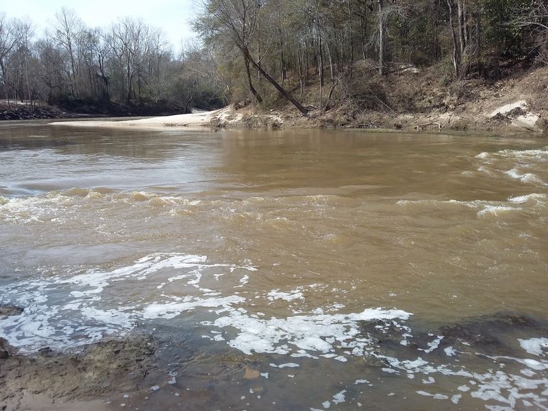
The Leaf River runs through the heart of De Soto National Forest and draws paddlers from across the region. The river is wide enough to feel expansive but shallow enough in many places that you can step out of your kayak and stand on a sandbar mid-river, which is a genuinely surreal experience in the middle of a Mississippi forest.
Multi-day paddling trips along the Leaf River are popular with experienced canoeists who camp on sandbars and cook over small fires under open skies. The river moves at a comfortable pace for most of its length, with occasional faster sections that add a little energy to the trip without becoming dangerous for reasonably skilled paddlers.
Wildlife sightings along the Leaf River corridor are common. Great blue herons stand motionless in the shallows, river otters surface near the banks, and wood ducks flush from the cypress edges with a burst of wings and color.
Hiking Trails Through the Pines
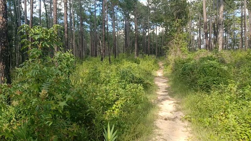
Hikers who visit De Soto National Forest find a trail system that rewards patience and attention. The Black Creek Trail is one of the most well-known routes in the forest, running for about 41 miles through some of the most scenic sections of the Biloxi Ranger District.
It follows Black Creek through bottomland hardwoods, across sandy ridges, and past beaches that appear without warning around each bend.
The trail is part of the National Recreation Trail system, which reflects both its quality and its ecological significance. Most hikers break it into shorter sections, using the access points scattered along the route to create one- or two-night trips.
The terrain is not steep, but the sandy soil and occasional creek crossings keep things interesting. Early spring and fall bring the most comfortable temperatures for longer hikes, and the forest looks particularly vivid when the understory wildflowers are in bloom.
Black Creek and Its National Wild and Scenic Designation
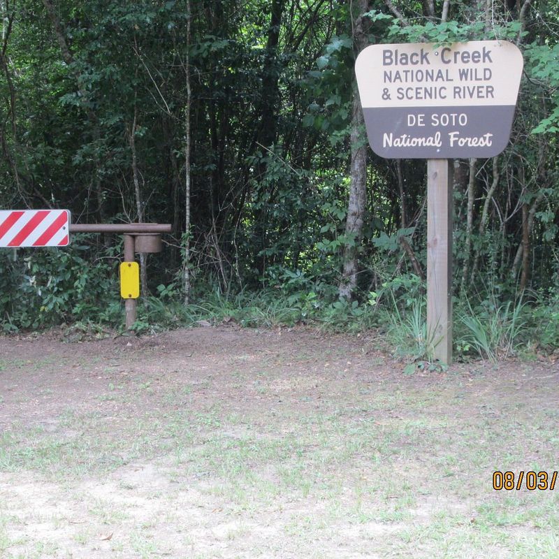
Black Creek earned its place on the National Wild and Scenic Rivers list in 1984, making it one of the few rivers in Mississippi to receive that level of federal protection. The designation recognizes the creek’s exceptional natural character and the importance of keeping its banks and water quality intact for future generations.
The creek gets its name from the dark, tannin-stained water that flows over white sand, creating a striking visual contrast that photographers and paddlers both find captivating. The tannins come from decaying vegetation in the surrounding forest, and they give the water a clear amber color that is completely natural and safe.
Paddling Black Creek is a different experience from the Leaf River. The creek is narrower and more intimate, with overhanging trees that create a canopy effect in certain sections.
The sandbars here are some of the finest in the entire forest.
Wildlife That Calls the Forest Home
De Soto National Forest supports a remarkable range of wildlife for a southern forest. White-tailed deer are common throughout, and wild turkey populations have recovered strongly in recent decades thanks to habitat management and restoration work across the forest.
The forest is also home to the endangered red-cockaded woodpecker, a small black-and-white bird that excavates nesting cavities exclusively in living longleaf pines. Seeing one in the wild is a genuine treat, and De Soto is one of the more reliable places in the Southeast to find them.
Look for the white resin rings painted around cavity trees by wildlife biologists marking active nest sites.
Reptile diversity is high as well, with several species of aquatic turtles, the American alligator in the lower river sections, and various non-venomous snakes that are active along the creek banks during warmer months. The forest rewards slow, quiet observation.
Camping Under the Stars
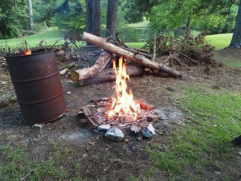
Camping in De Soto National Forest ranges from developed campgrounds with basic amenities to completely primitive sandbar camping along the rivers and creeks. The sandbar camps are the ones that people remember longest, waking up with the sound of moving water just a few feet away and the smell of pine resin drifting in from the tree line.
The Ashe Lake Recreation Area provides a more developed option, with a small lake, swimming area, and campsites that work well for families who want a base camp without hauling everything in by foot or boat.
Dispersed camping is allowed throughout much of the forest, which means experienced campers can set up almost anywhere that is not posted otherwise. The combination of open pine forests and sandy creek banks makes finding a beautiful spot relatively straightforward.
Permits and regulations vary, so checking with the ranger district before a trip is always a smart move.
Best Times to Visit and What to Expect
Spring and fall are the most popular seasons in De Soto National Forest, and for good reason. Temperatures are comfortable, the forest is either coming alive with wildflowers or shifting into its fall palette, and the rivers and creeks run at levels that are ideal for paddling and swimming.
Summer brings heat and humidity, which is typical for southern Mississippi, but the white-sand beaches and cool creek water make it bearable. Early morning hours on the water are particularly pleasant, before the afternoon heat builds.
Insect repellent is strongly recommended from late spring through early fall.
Winter in De Soto is mild compared to most of the country, and the forest takes on a quieter character that long-distance hikers tend to appreciate. The longleaf pines stay green year-round, so the forest never looks bare.
Rainfall can raise river levels quickly in winter and early spring, so checking conditions before any paddling trip is essential.
How to Get There and Plan Your Trip

De Soto National Forest is managed by the USDA Forest Service, with the Ranger District offices providing maps, trail conditions, and permit information. The forest stretches across multiple counties in southern Mississippi, and the Brooklyn, Mississippi area serves as a central access point for many of the most popular recreation areas.
The nearest major city is Hattiesburg, which is within easy driving distance and offers hotels, grocery stores, and outdoor gear shops for anyone who needs to stock up before heading into the forest. Several boat launches along Black Creek and the Leaf River are accessible by paved or well-maintained gravel roads.
Cell service is limited throughout much of the forest, so downloading offline maps before arriving is a practical step that most experienced visitors take. The Forest Service website provides up-to-date information on road closures, water levels, and any permit requirements that apply to specific recreation areas within De Soto.
Share this story