You know that feeling when a dusty gravel road turns out to be the best part of the whole trip? Somewhere in southeast Oregon, a long mountain rises out of the sagebrush and hardly anyone talks about it.
I went in expecting a bumpy drive and came away with a camera roll full of canyons, wild horses, and sky that goes on forever. If you love places that tourists skip, this one is about to become your favorite secret.
A Fifty-Mile Giant in Harney County
Fifty miles long and still easy to miss on a map. Steens Mountain stretches through Harney County in southeast Oregon, and visitors often mistake it for a whole range of peaks.
It is actually a single mountain. Its summit reaches 9,733 feet, and it is known as the largest fault-block mountain in the northern Great Basin.
One side rises gently, while the other drops more than a vertical mile to the Alvord Desert floor. That lopsided shape is what makes the views so dramatic.
The mountain sits about sixty miles south of Burns on Highway 205, so reaching it takes some commitment. That distance is exactly why the crowds stay thin.
Locals who know the place treat it as one of Oregon’s great treasures, and a quiet, remote one at that.
Frenchglen and the Start of the Loop
Tiny towns make the best launch pads. Frenchglen is a small, historic spot where the Steens Mountain Loop Road begins its 52-mile climb.
Visitors suggest using the Frenchglen hotel as a home base for your stay. That makes it easy to start early, which pays off when the light is soft and the road is quiet.
The loop heads up toward the summit and then winds back down along the south side, with views of the Blitzen River.
Some travelers choose to go backward from the South Steens campground side instead. One visitor found that direction steeper on the way up, with a gentler, calmer return into Frenchglen.
Either way, plan on a full day and pack snacks.
Gravel, Washboard, and Taking It Slow
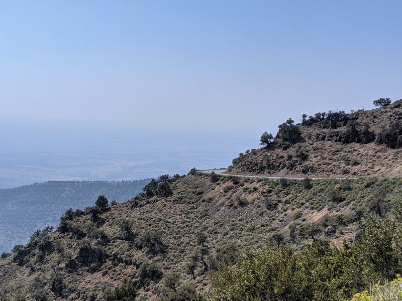
Rattle, rattle, rattle. The washboard sections are real, and visitors say the dirt road will leave your car in need of a good wash afterward.
The good news is that the road is well maintained and manageable in most vehicles. A high clearance ride is a smart choice, and a very small car might feel out of its depth.
Plenty of pullouts make it simple to stop for photos, so there is no pressure to rush. Private land areas are marked, so keep an eye out for signs.
Expect open range cattle wandering near the road. Some riders even tackle the loop on enduro dirt bikes.
Whatever you drive, patience is the best accessory.
Kiger Gorge and the Glacier-Carved Canyons
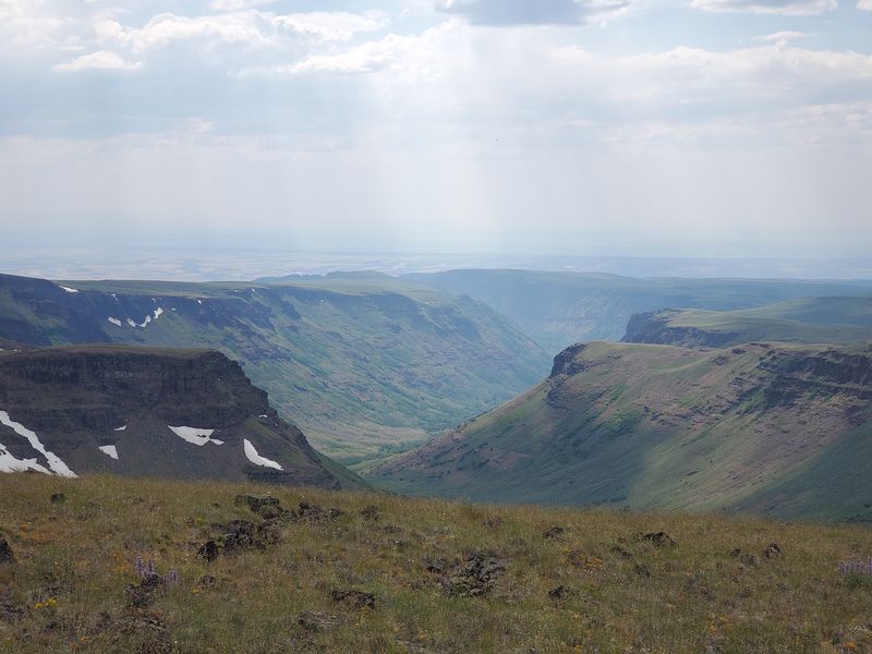
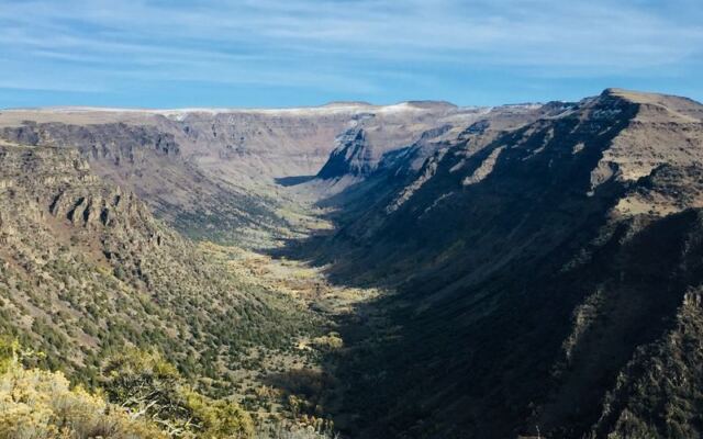
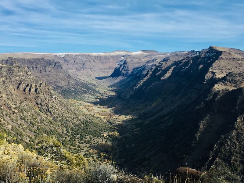
Stand at the Kiger Gorge overlook and your jaw may drop on its own. The huge U-shaped canyon was carved by glaciers, and visitors call it breathtaking.
It is one of four notable gorges on the mountain, alongside Big Indian, Little Blitzen, and Wildhorse. The canyon even splits the two routes up, which makes the scenery feel doubled.
The East Rim is another showstopper. On a clear day, it looks out over the Alvord Desert, a vertical mile below.
Photos help, but several visitors admit the camera simply cannot capture the scale. Bring your patience for the pullouts, because you will want to stop at every one of them.
Wild Horses at Sunrise
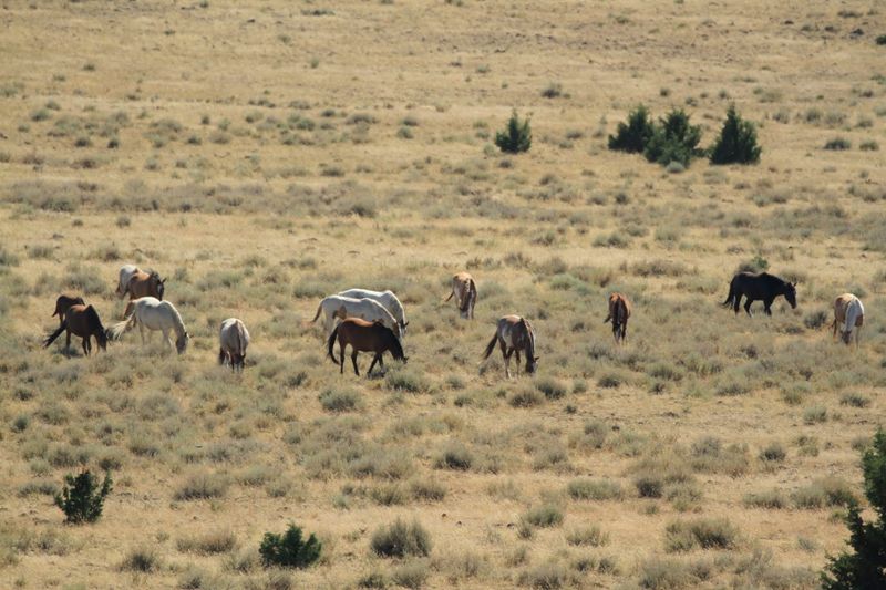
Early mornings come with a bonus here: hoofbeats. The south end of the mountain is known for wild horses, and visitors recommend a decent zoom camera.
Sit back, stay quiet, and let them wander into view. One traveler spotted a lone horse standing on a ridge in clear light.
Keep your distance, because these animals are truly wild. Visitors also mention seeing a bobcat and open range cattle along the route.
Wildlife sightings tend to reward those who slow down. Between the long gravel road and the open sagebrush, the mountain feels like a stage set for patient watchers.
Bring binoculars if you have them, and a thermos for the wait.
The Half-Mile Walk to the Summit
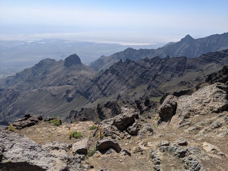
Nearly at the top, the car stops and your legs take over. A walk of just under a half mile leads from the parking area to the summit.
The path is short but rocky, with steep drop-offs nearby. Visitors say it is not ideal for very young children.
Information kiosks offer helpful background, though there are no bathrooms. One hiker recommends continuing toward the cell towers for a look over the valley and the Alvord Desert.
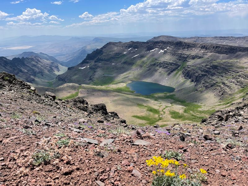
Fog can hide the east side, as one group discovered, so check the sky before you go. For longer adventures, a trail drops about 1,100 feet to Wildhorse Lake, and another heads into Big Indian Gorge.
No campfires are allowed at the lake, so bring a stove.
Campgrounds, Quiet, and Wide-Open Solitude
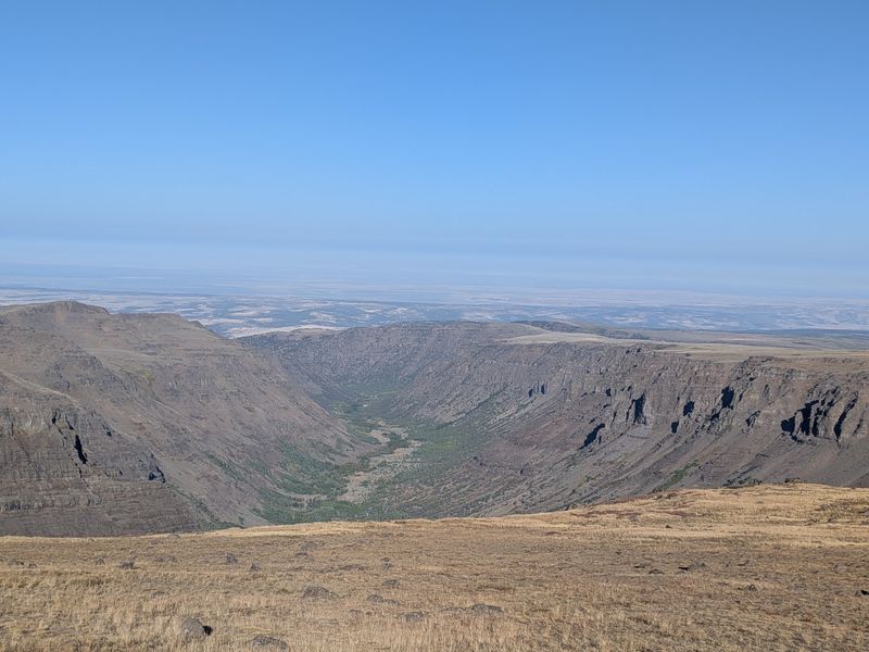
Silence has a sound up here, and it is wonderful. Campgrounds dot the loop, offering a simple place to rest between viewpoints.
Facilities at some are limited, so pack what you need. Visitors describe the land as remote, rugged, and beautiful, with views stretching as far as the eye can see.
The road climbs from dry sagebrush through subalpine meadows and grasslands to the snow zone near the top. Even in summer, temperatures near the summit can be far cooler than the desert below, one traveler noted low 70s while lower elevations baked.
The weather can turn quickly, so bring layers. Several visitors say they could have spent days exploring the trails here.
When to Go and Final Thoughts
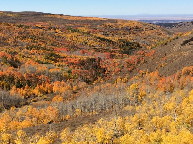
Timing decides everything on this mountain. The loop road usually opens around July 4th, though heavy snow years can push it later.
It closes when the first snow arrives in October, and visitors note it stays shut for most of the fall and all winter. A landslide once cut off part of the loop, so check current road conditions before you leave.
July brings green hills and wildflowers, while October can show off golden aspen color. Opening day of deer hunting season gets busier, so plan around it if you crave quiet.
Verdict: if you want an Oregon road that makes you stop every few miles, this one earns its spot on your list. Most visitors leave planning a return trip.
Share this story